Gear Check Out Hike

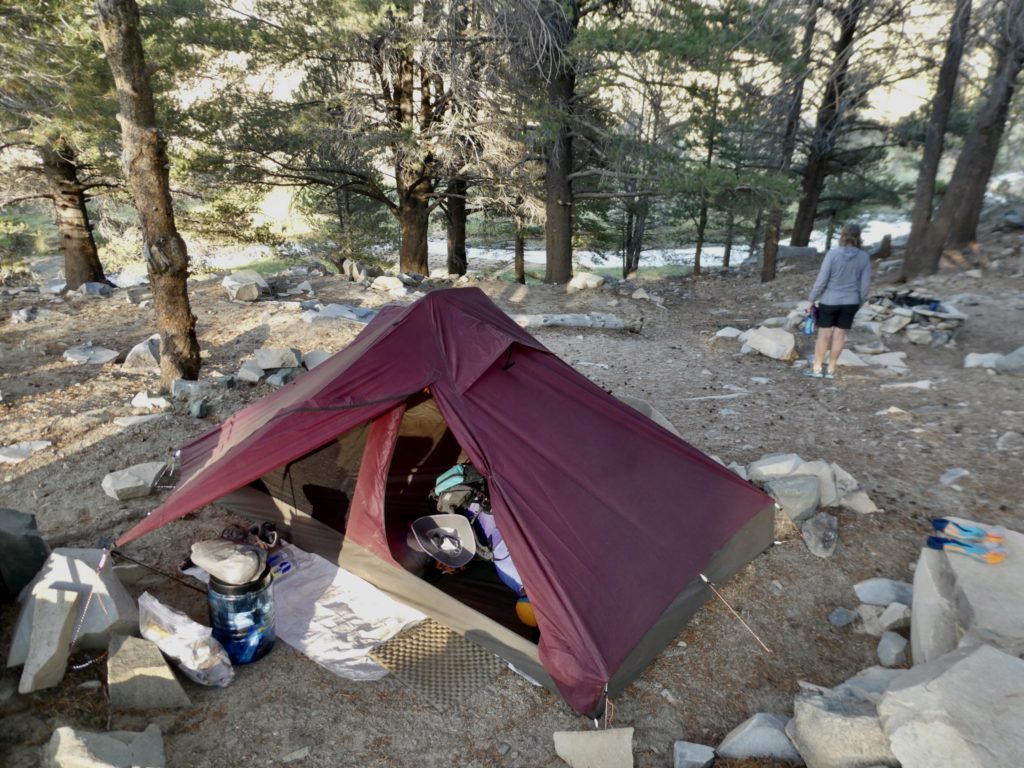
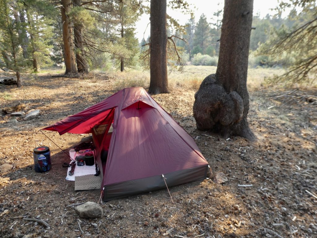
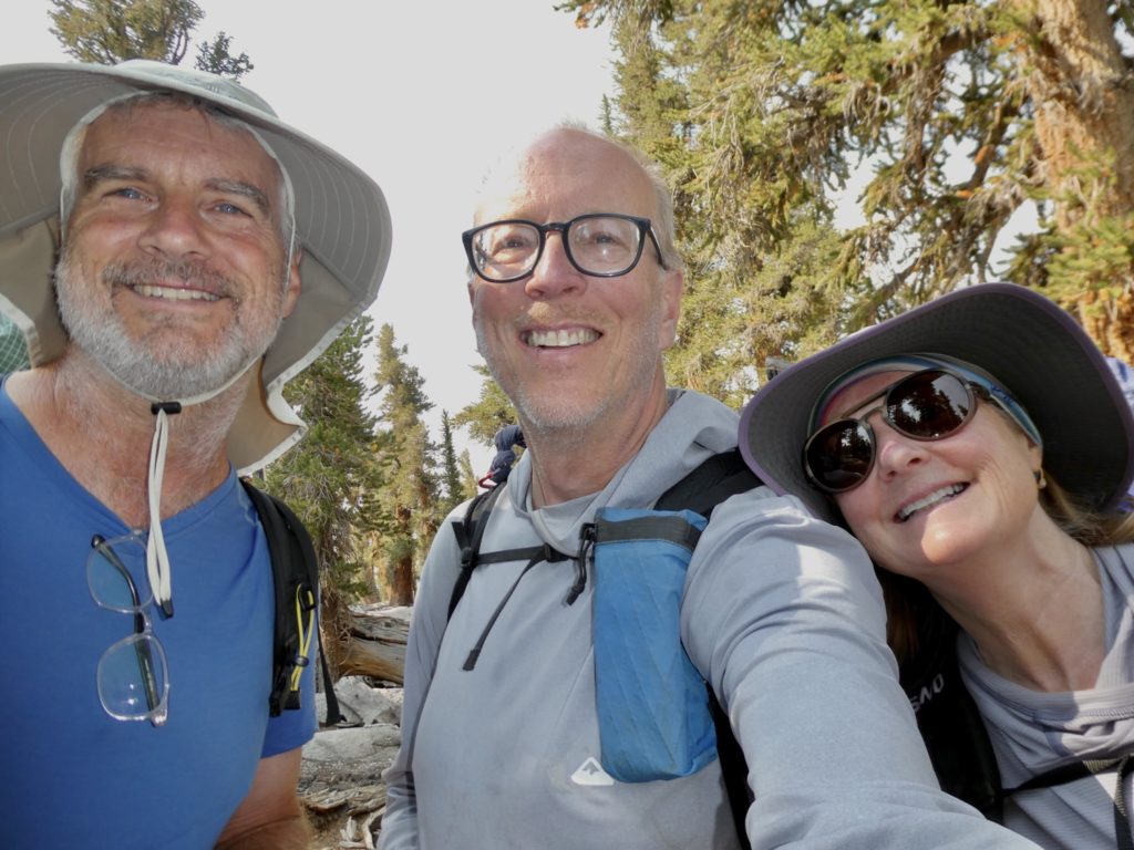
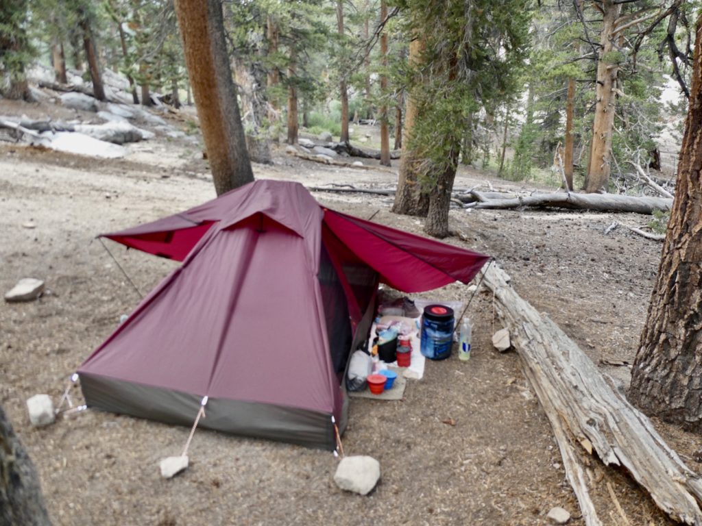
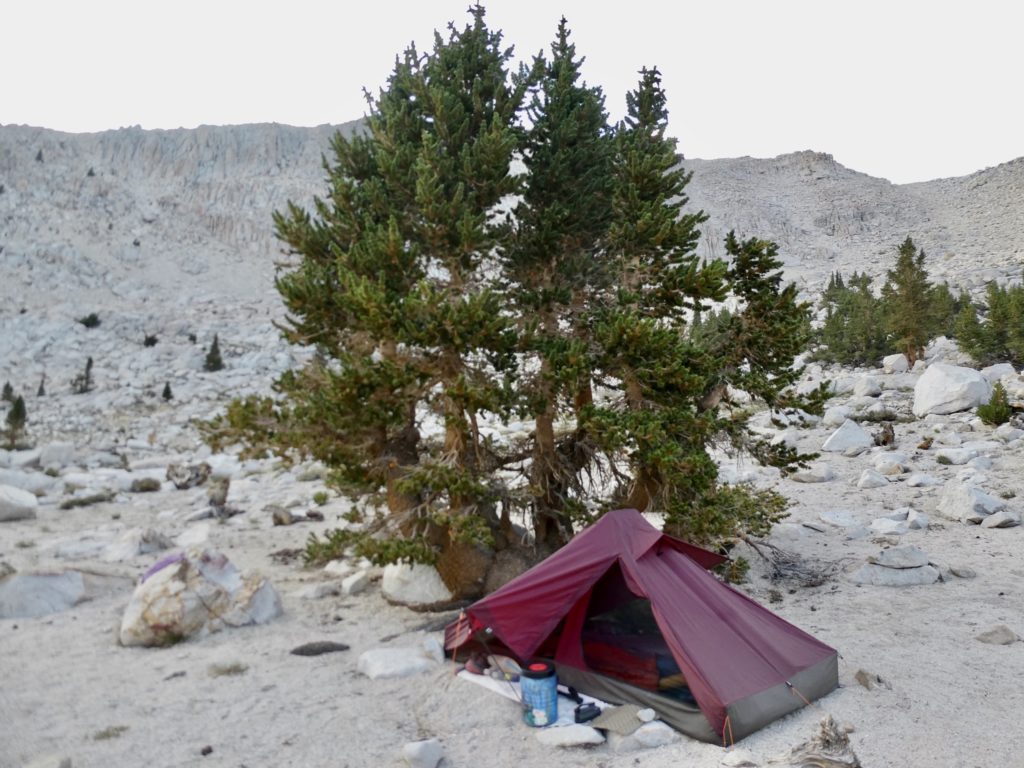
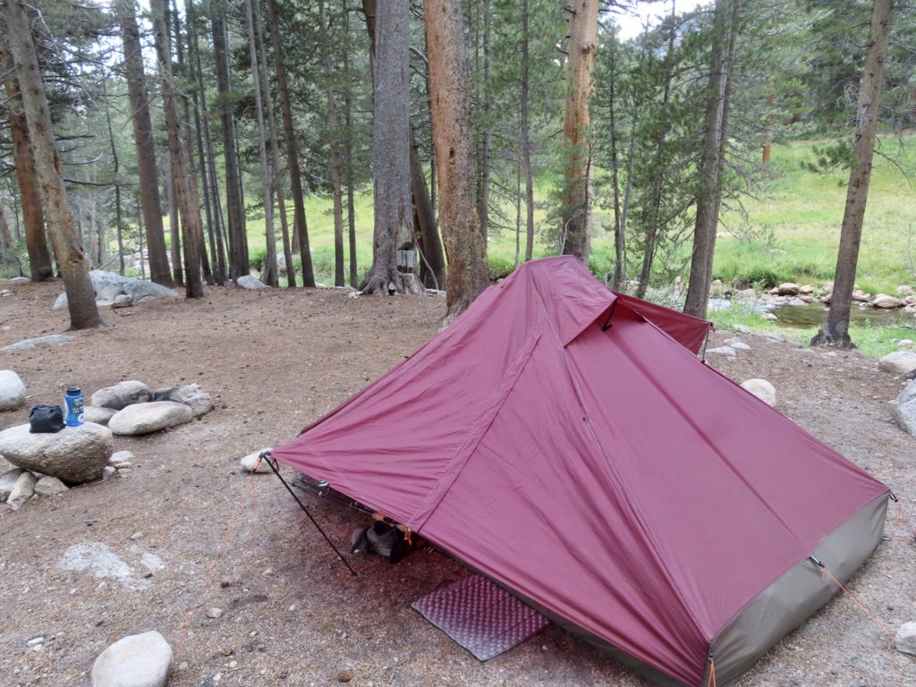
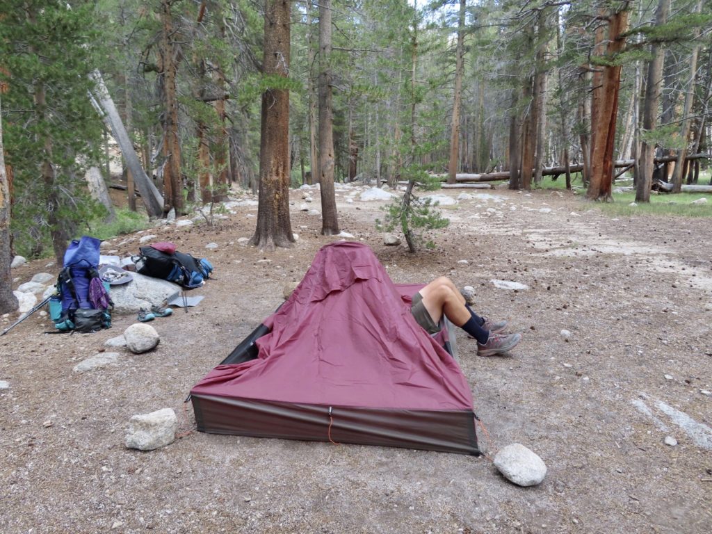
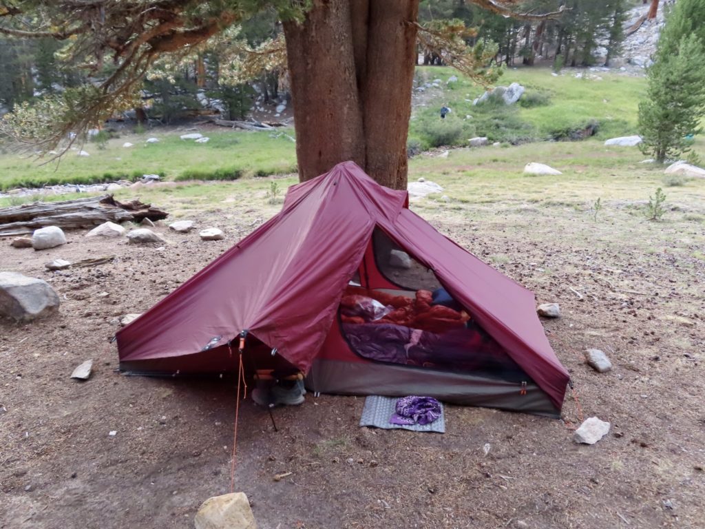
I’ve gone round and round on my gear this year. I have several tents, but they’re 3-person tents and I’m solo hiking now that Bunny and I are divorced. It was actually Bunny who convinced me to splurge and buy the new tent–“It’s your home. This is where you’re going to live (for the rest of your life).” So, I did buy the Z-packs duplex. I still haven’t found the tent of my dreams. If you can’t be with the one you love, love the one you’re with.

Really, all my gear is the same except for a new Duplex

I opted to combine my checkout hikes with my swing through the South visiting family and remaining friends. I’ve made a discovery that when someone tells you they aren’t taking sides in your divorce, that means they aren’t taking YOUR side.

A nice mountain stream to help reset me

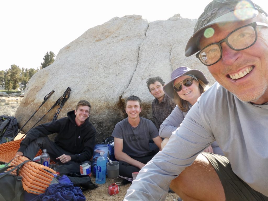
This also gave me the opportunity to allow my brother-in-law some freedom in his own home (“spread the wealth of my presence” is what people I’m currently with, always tell me). When I got back from last year’s trip through Europe, I had intended to continue living in Decatur until my dad died. I just never thought he would only live for a couple of months after I returned. By no means do I consider it a bad thing to be out of Decatur, I just wasn’t expecting my exodus to happen so quickly. I stayed long enough to reconnect with a few friends from growing up, meet a new group of drinking buddies through my cousin, and settle up my dad’s estate.

I prefer trail signs to street signs

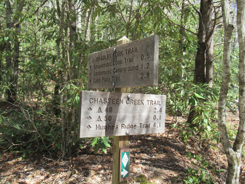
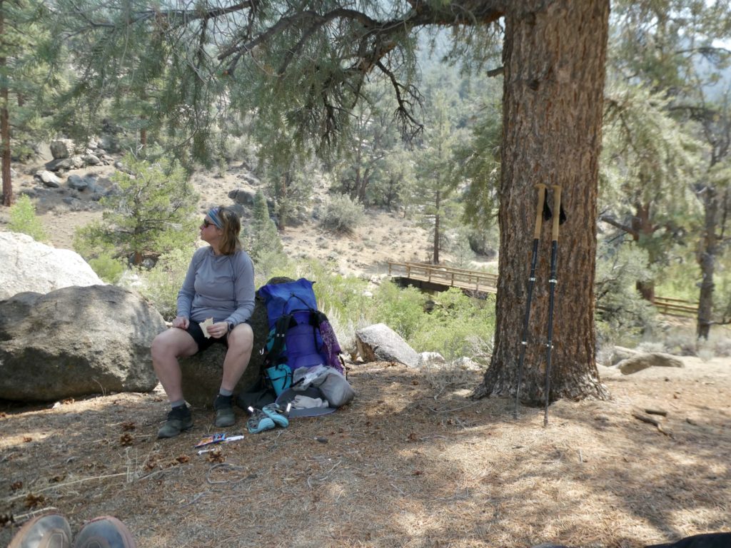
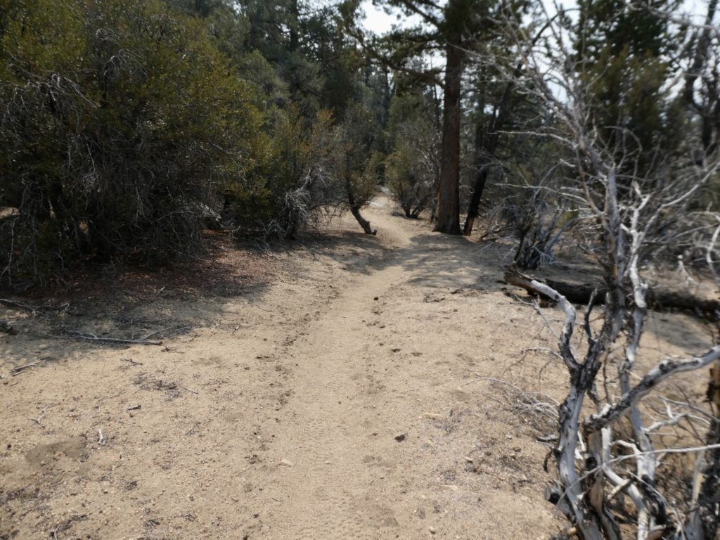
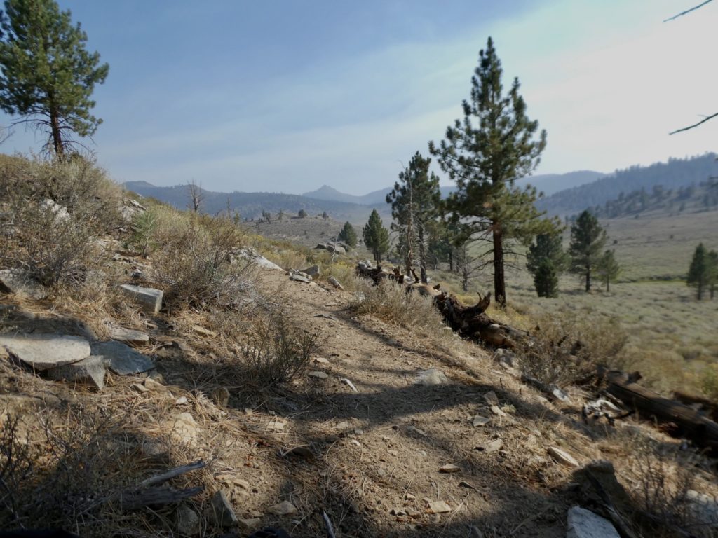
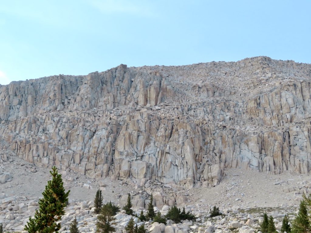
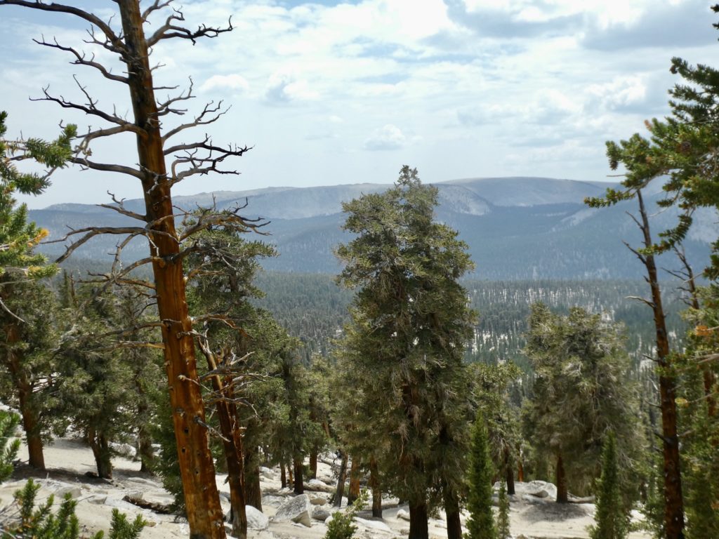
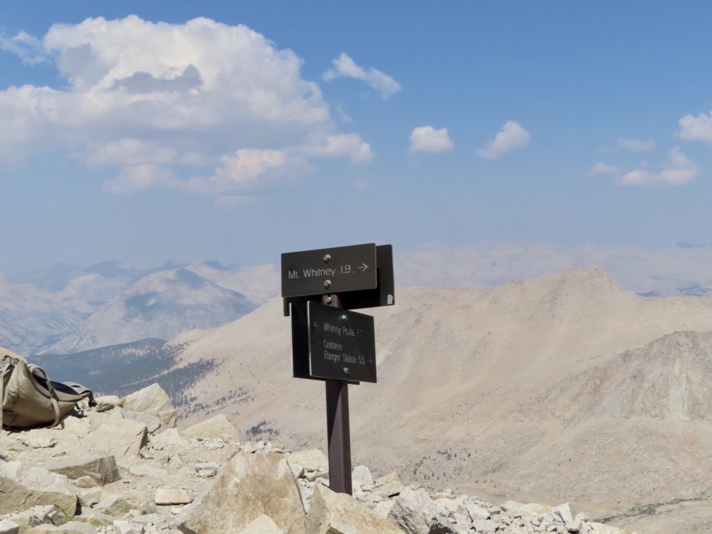
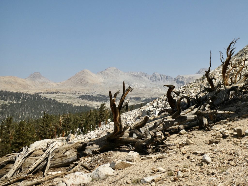
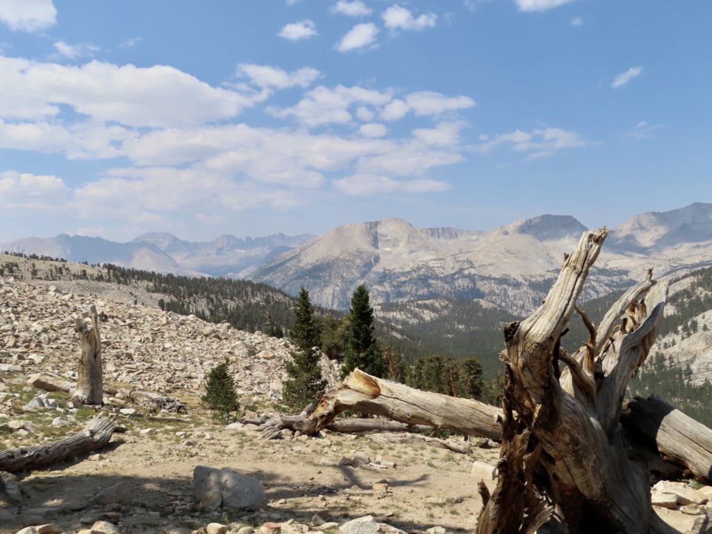
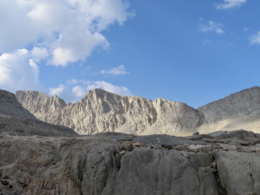
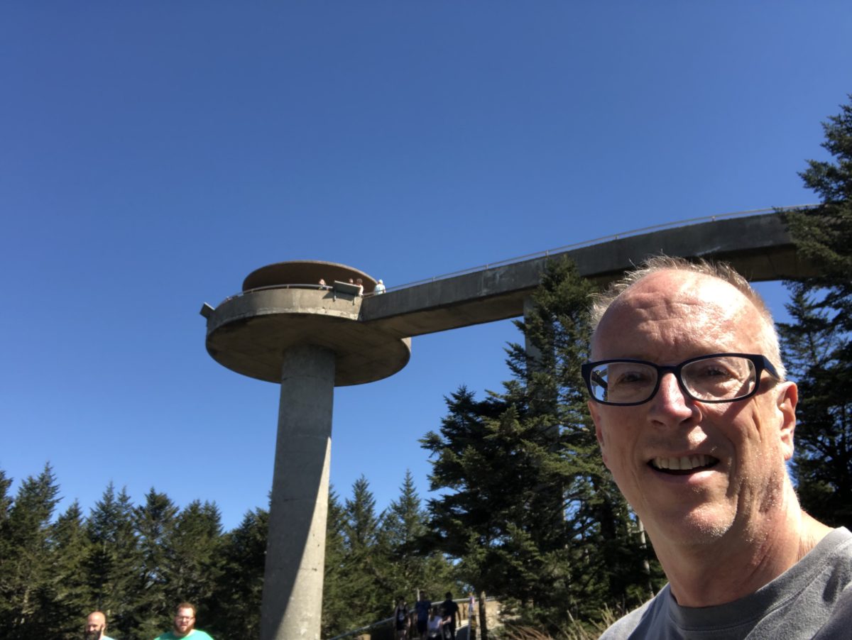
First up on my journey was a trip through the Smokies. It was much easier to drive to Klingman’s Dome than the way I’ll be getting there the next two times I visit it. I stopped by the backcountry office and secured a couple of nights on the NC side of the park.

I ran into a deer not even 15 minutes out–must be a young male because history tells me I scare all women.

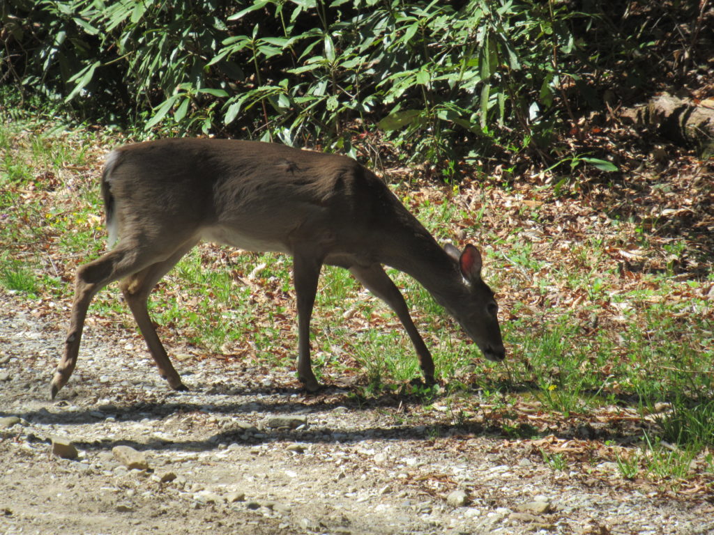
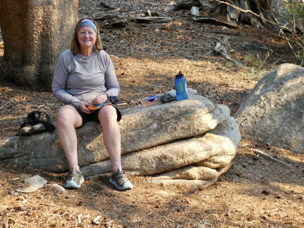
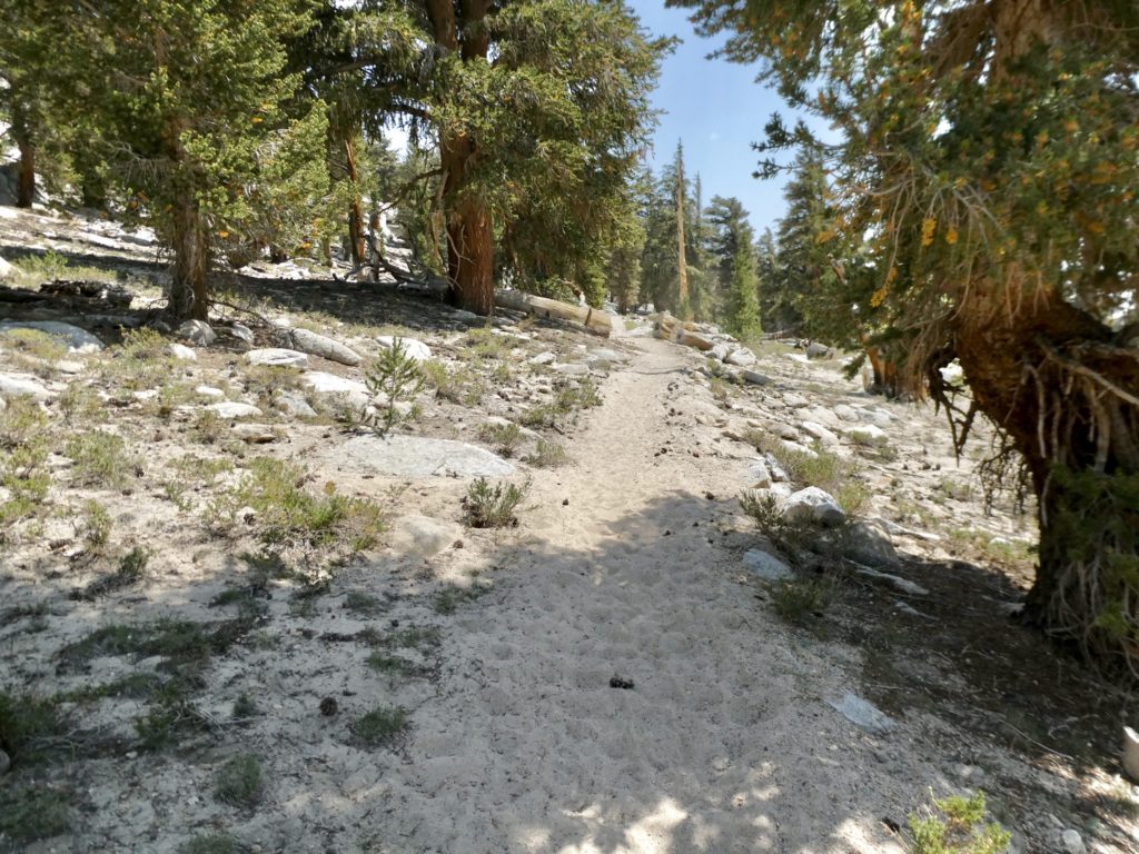
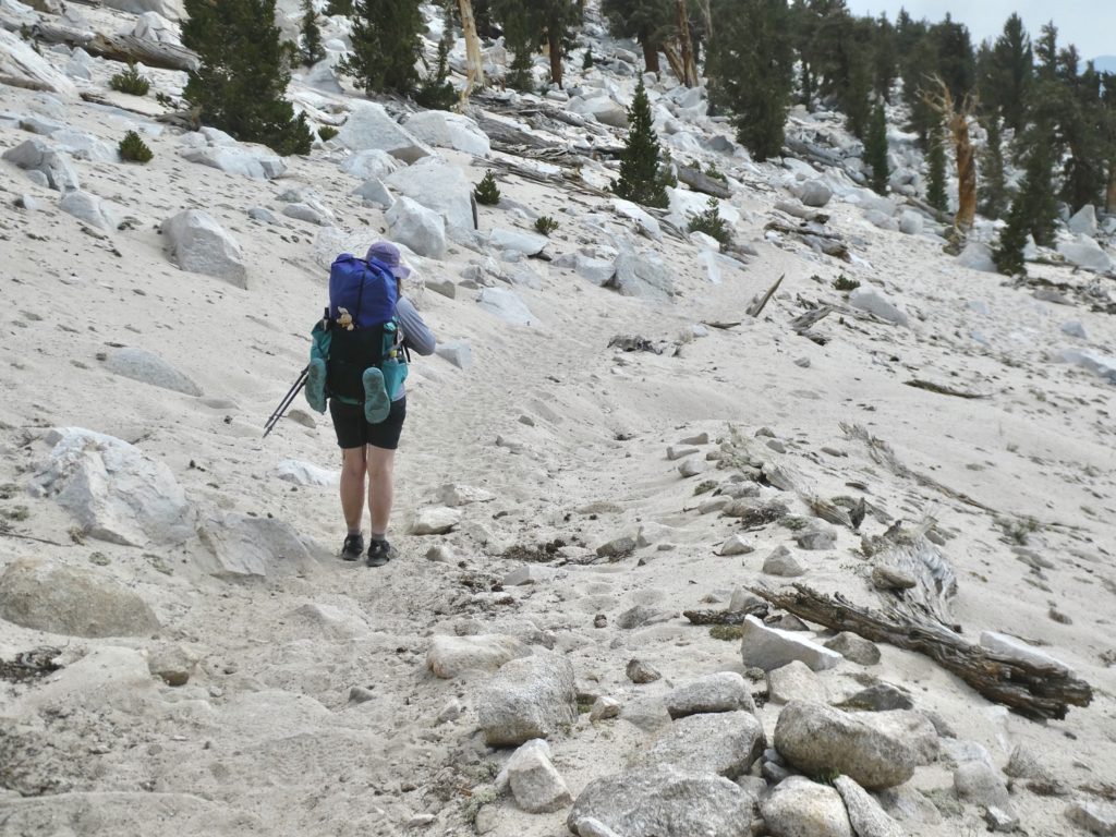
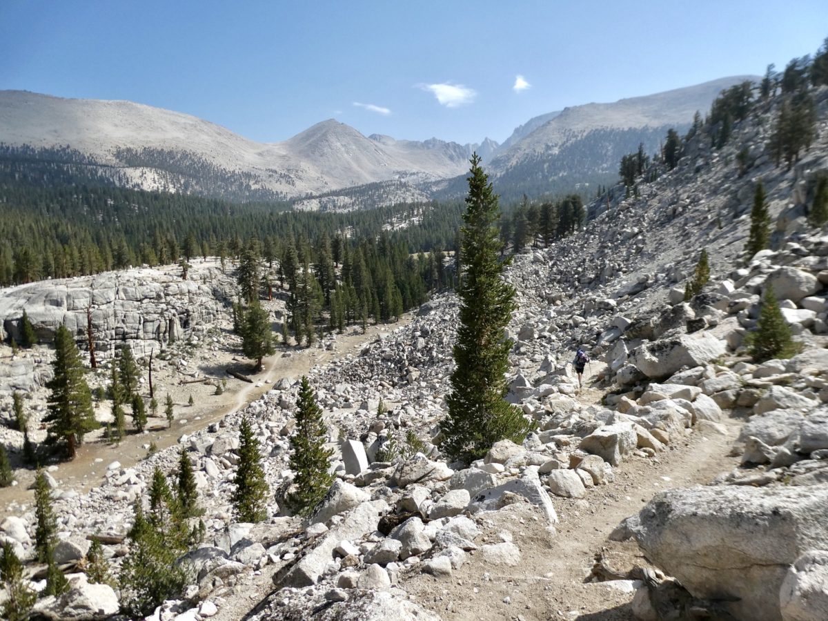
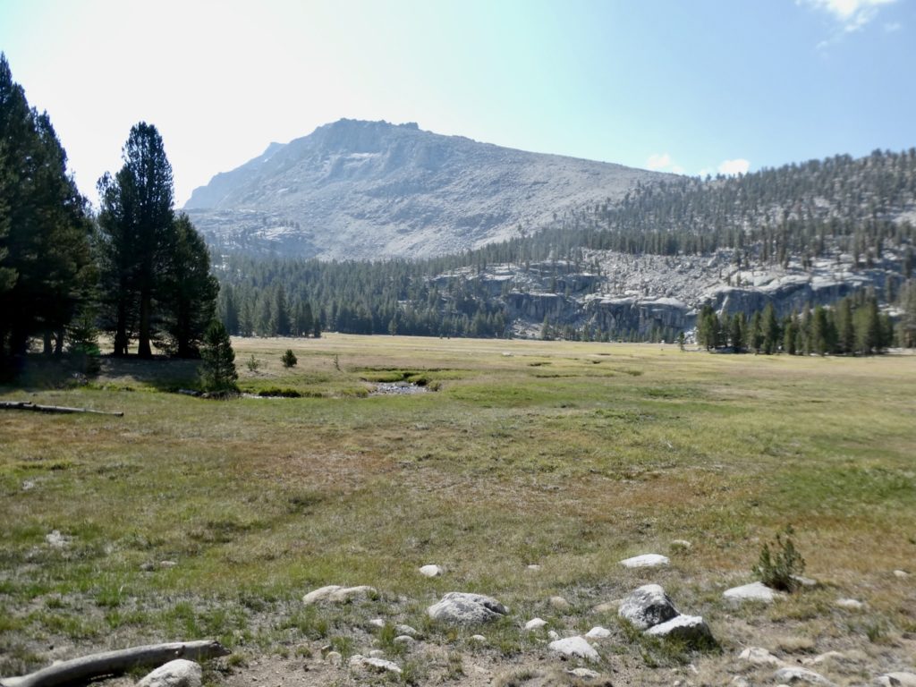
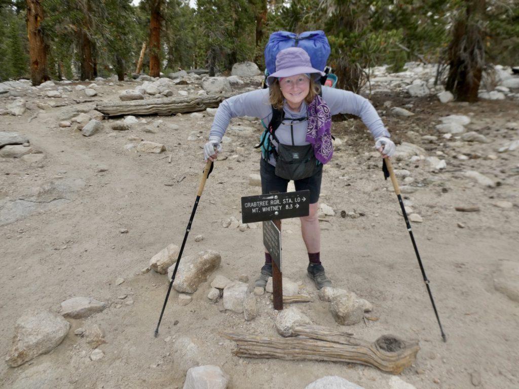
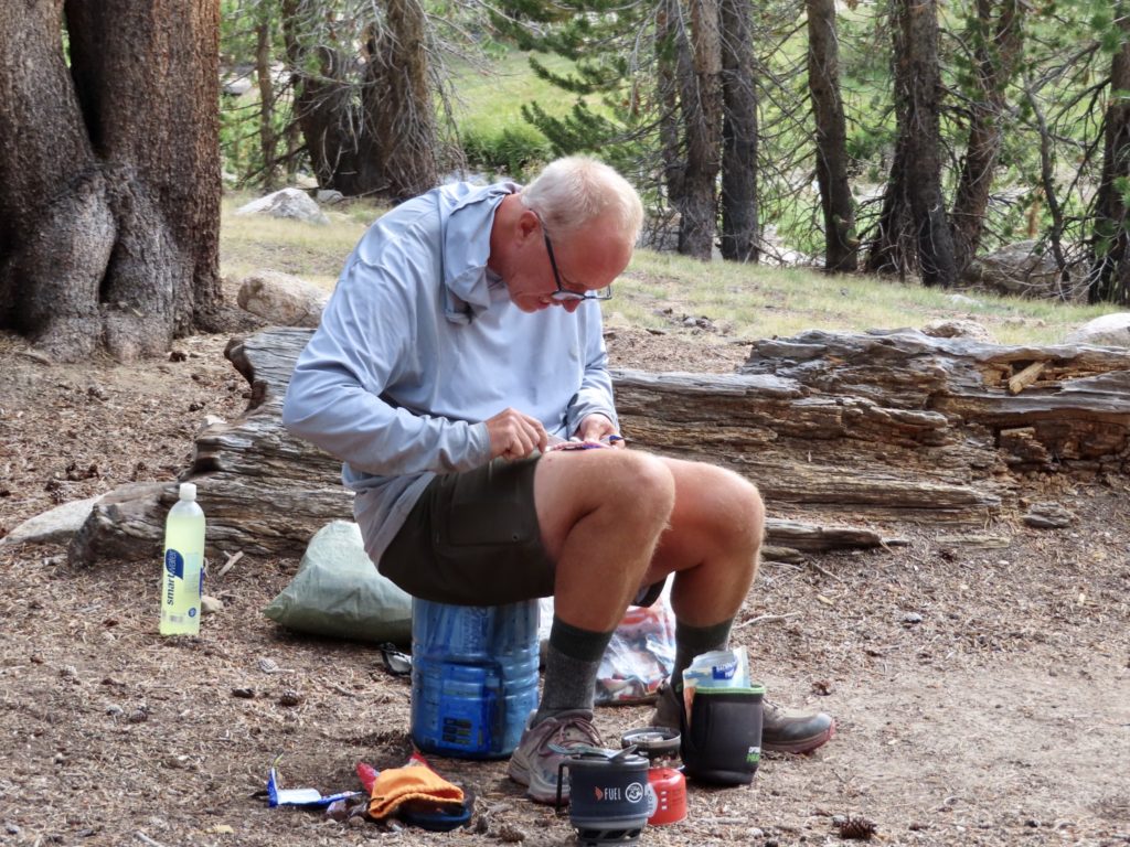
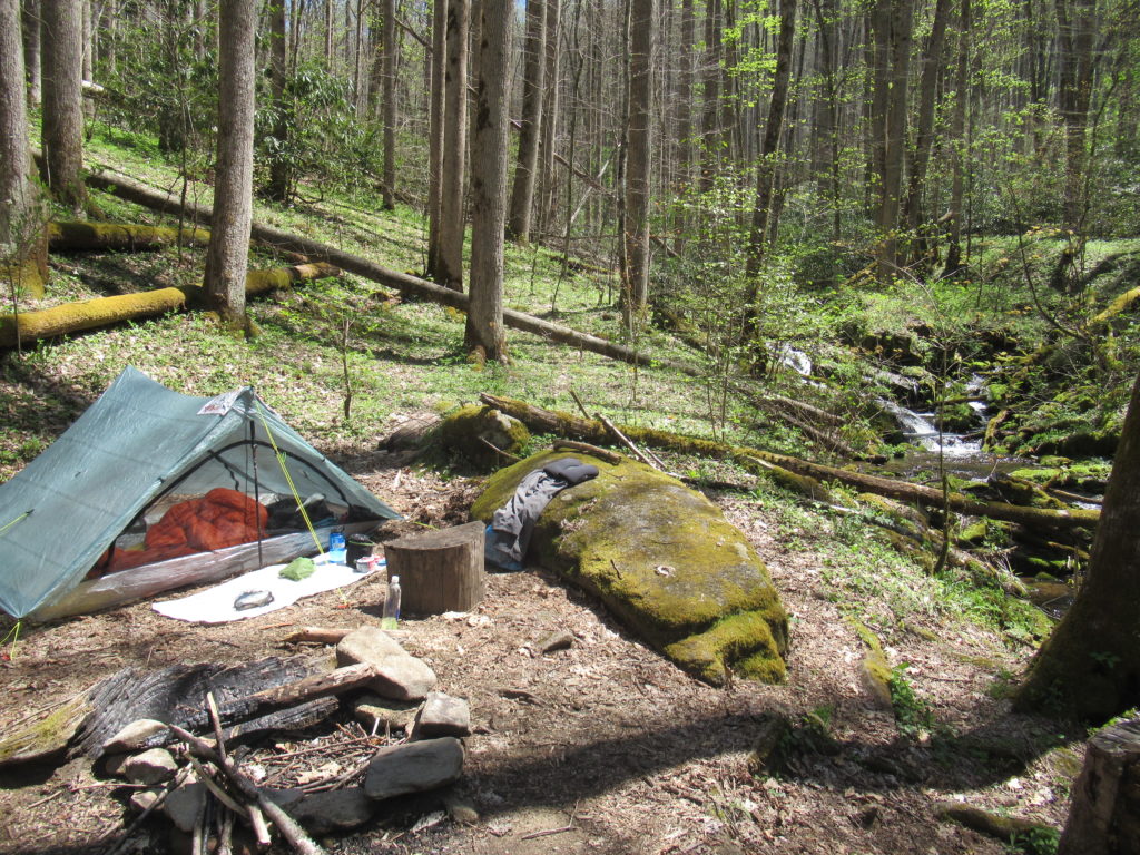
I planned a short 22 mile loop with 2 nights of camping. It gave me the opportunity to find any issues with my set up and gave me the opportunity to hang my first bear bag of the year. The only problems I had were not gear related. 1) I’m too fat. I’ve put on almost 30# since my dad died. And, 2) I was too hot–the hair must go (what whisps of it there are still remaining).

A successful hang–a good 15 feet off the ground.

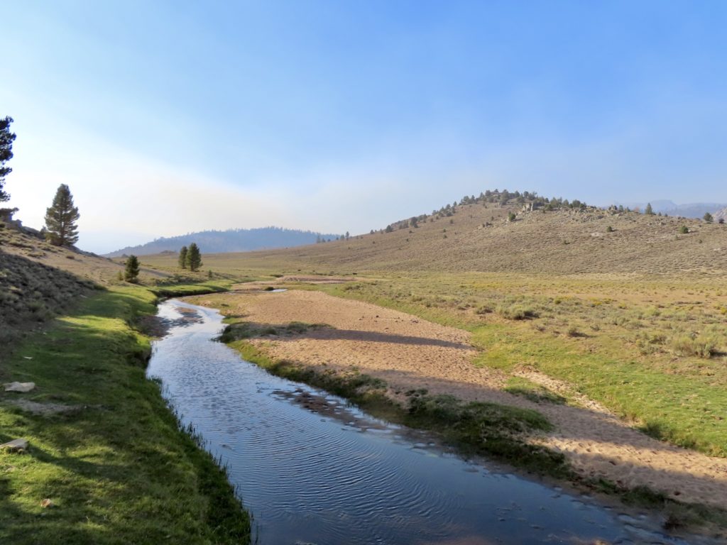
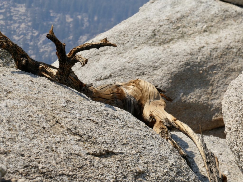
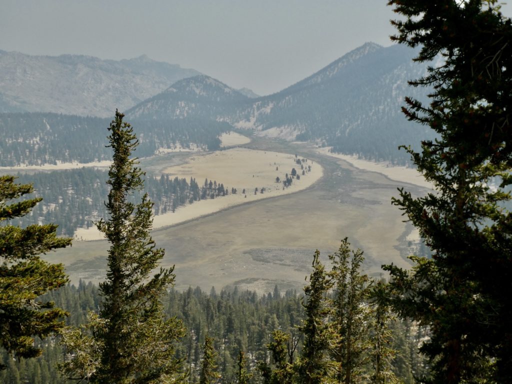
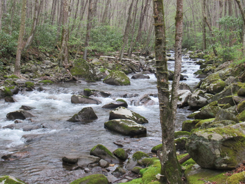
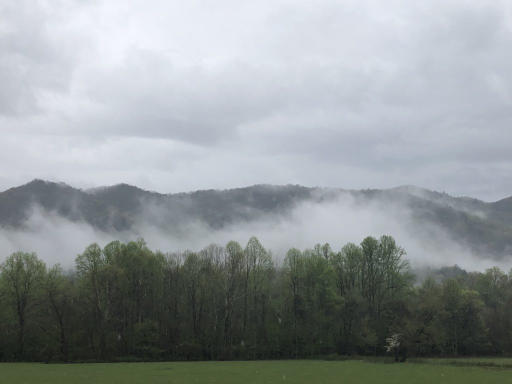
I made it back to my car on the third day just in time to avoid the rain. I don’t really feel a need to verify my rain protection at this point. I’m confident that my umbrella works just fine. The rain did help provide some smoke which the area is known for.

It doesn’t take long to produce a thick fog when the trees are warm.

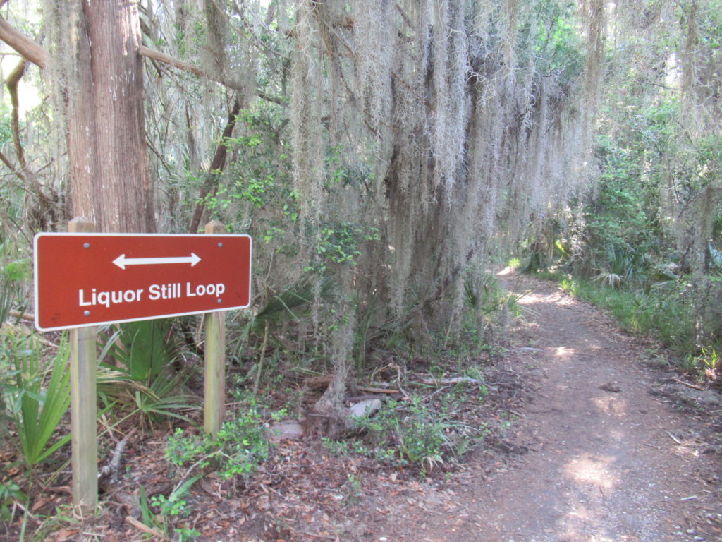
A few days later, after my niece in Charleston kicked me out of her house, I headed to Savannah, Georgia. I wanted to try camping on Tybee Island, but they wanted $60 to pitch my tent in a campground. Skidaway Island State Park which sits on a nearby island turned out to be more to my liking.

Wildlife observation platform on the intracoastal waterway

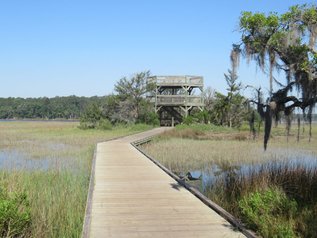
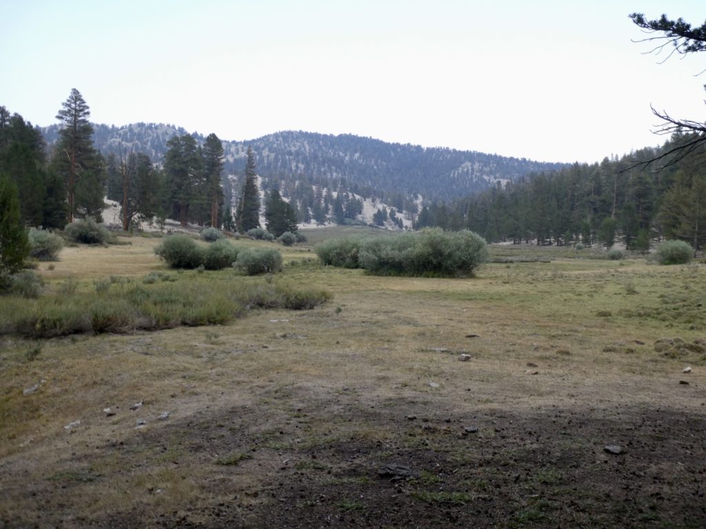
The state park sits on the outer side of the intracoastal waterway. During prohibition, the land the park occupies was home to 16 stills. Before that, it was an outpost during the Civil War with earthen fortifications still visible.

Leave it to the revenuers to screw a good thing.

I spent an awkward night out in the “Pioneer Camping” area. The reason it was awkward to me is that I have not camped in alligator area before. The campsite I chose was between a couple of ponds. I kept hearing loud crashing noises throughout the night. Every time I did, I thought an alligator had emerged from the pond and was going to check out my campsite.

A couple of lean to shelters but much nicer than the ones on the AT

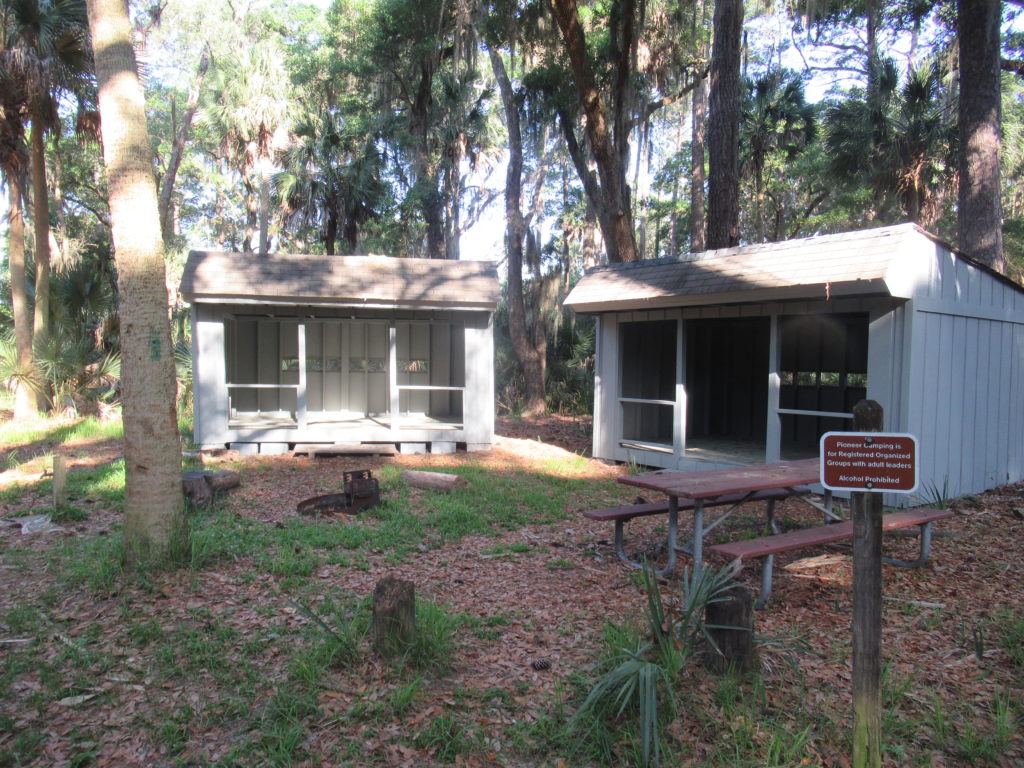
In the morning, I heard the same crashing sounds and was able to identify the culprits. It was squirrels jumping around in the palm fronds which are quite stiff and make a deep smacking sound. The next time I camp in alligator area, I’ll be prepared. (In my defense, there are more than 5 million alligators in the southeastern US and I’m sure I appear quite tasty with the extra fat I’m sporting.)

I’m trying to prep for everything I’ll find on the AT, including New Jersey

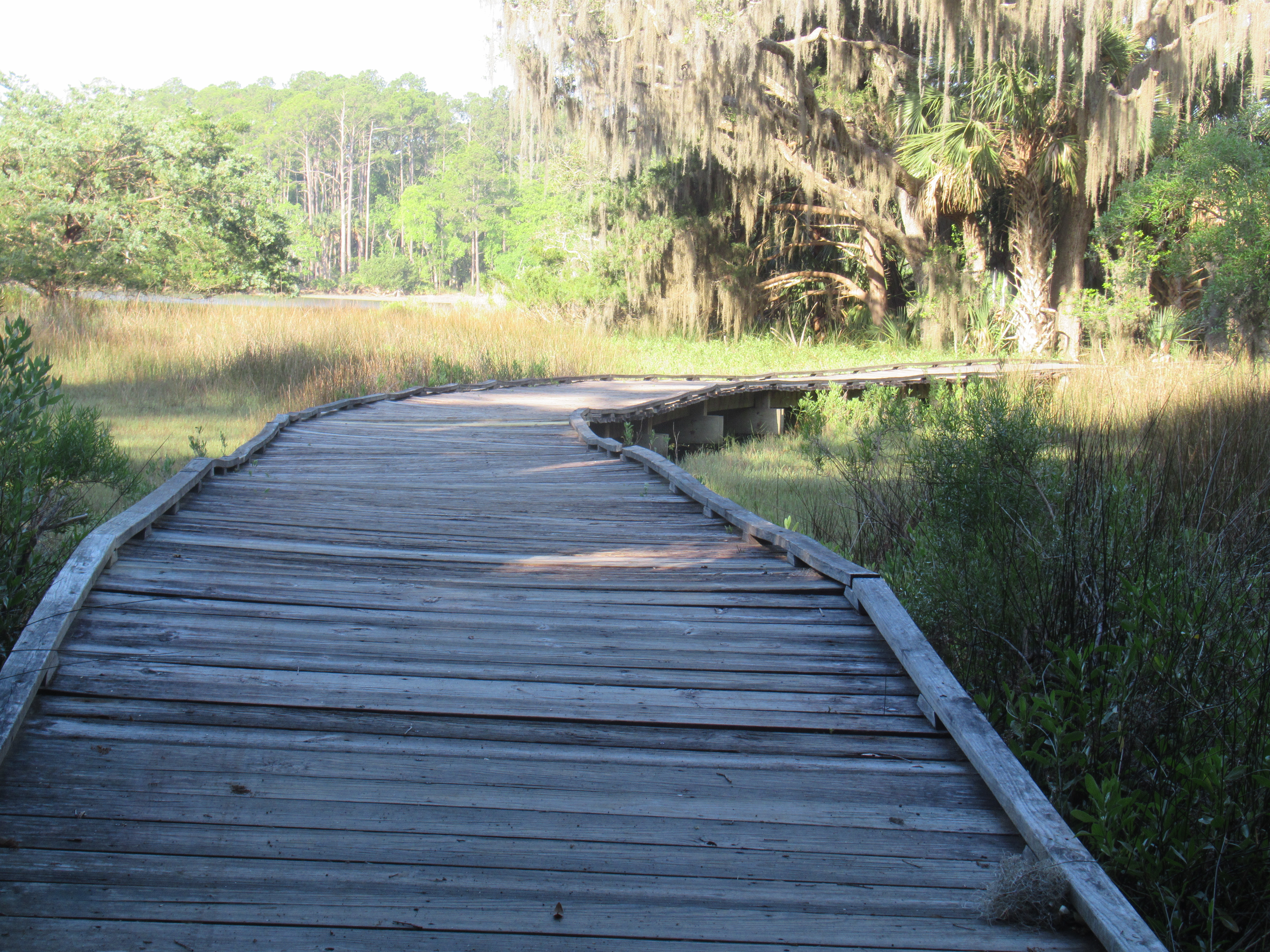
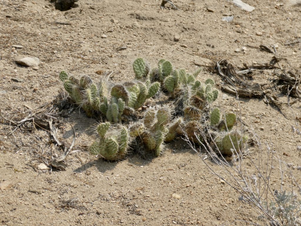
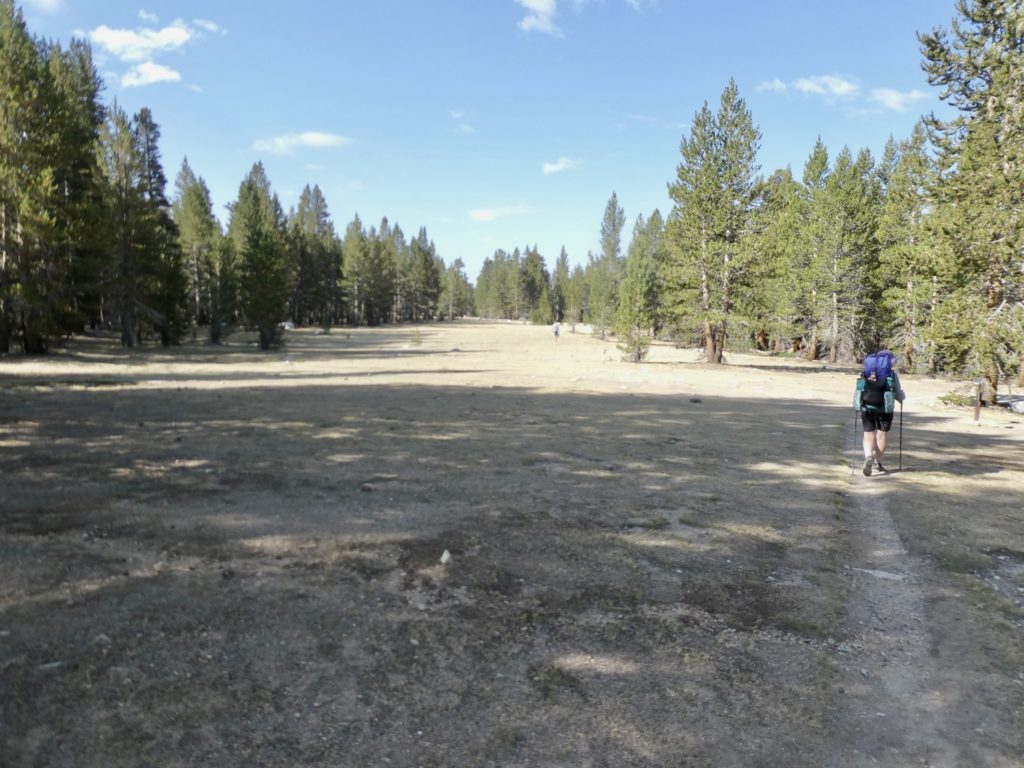
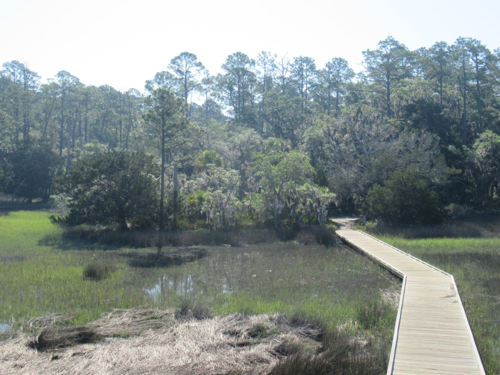
I had plenty of time to kill. I wasn’t supposed to get to my brother’s house in the Everglades until friday and it was only Wednesday. I made use of the time to walk all the trails in the state park. I didn’t get much training on elevation climbs–my total walk was about 7 miles with a total elevation gain of 6′ (3 of which can be attributed to my tripping).

Skidaway Island State Park–very nice!

Rather than stay a second night and have a long drive on Thursday, I opted to head down to cental Florida and try my luck with a new, more dangerous setting. I was no longer afraid of alligators, so I was ready for the next step–rednecks with guns who hate yankees. I was heading to the swamps of Ocala.

I found access to the Florida Trail

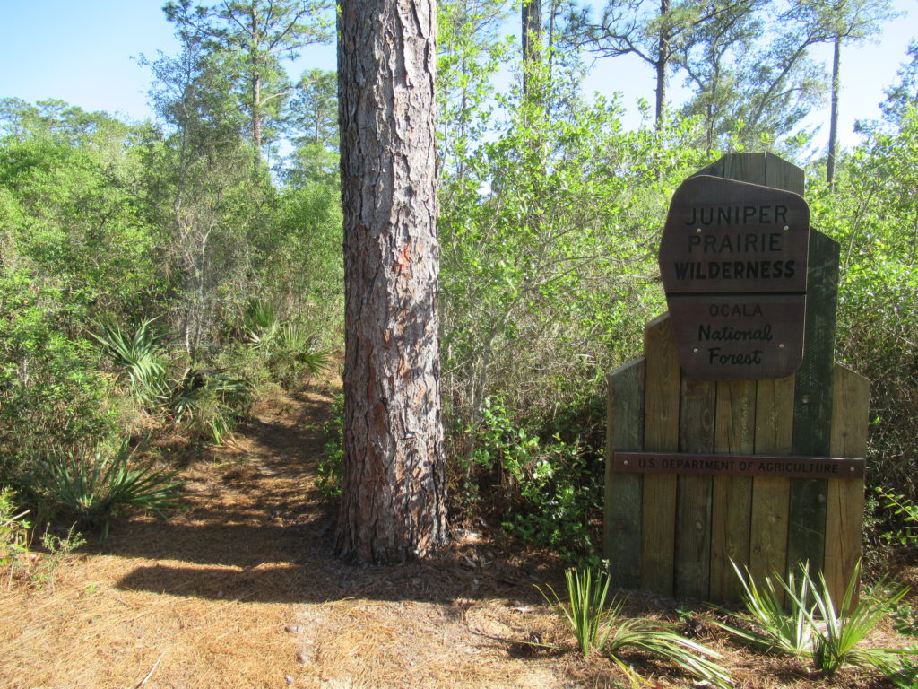
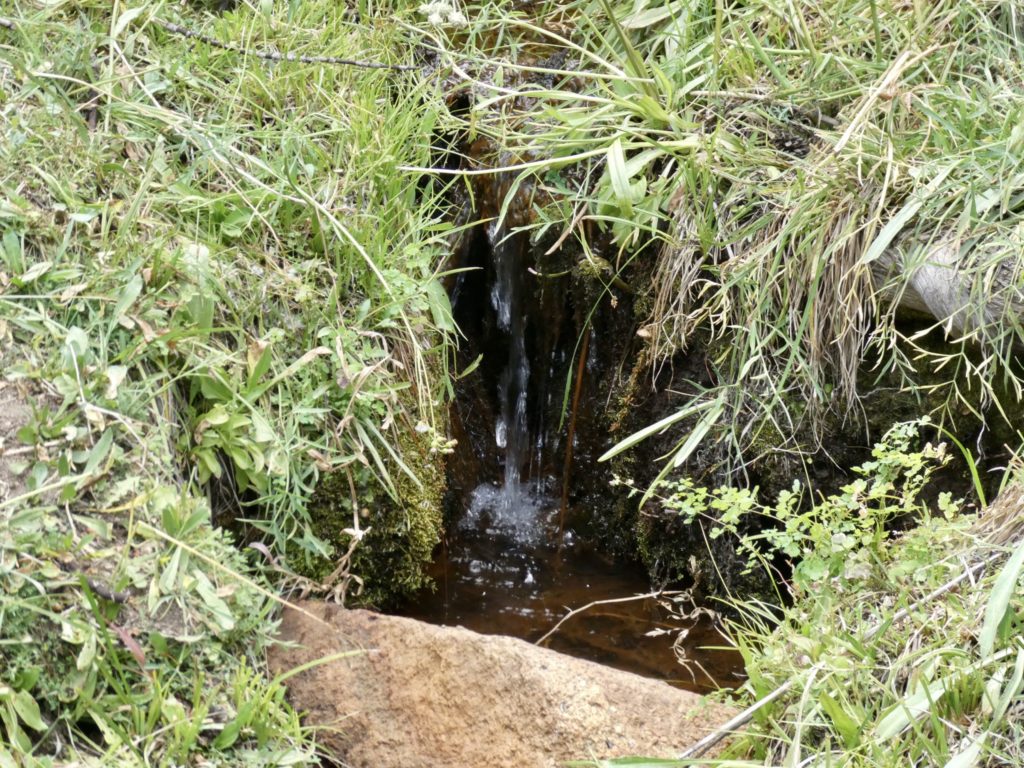
I just wanted to spend another night out. I just did a short 4 mile out, camp, and 4 mile back to the car. I chose this area because I wanted to test my confidence with my new friend the alligator. The area was supposed to be filled with ponds, but they were all dried up. I stayed an uneventful night without incident although, there was a surprising amount of elevation gain on this hike. At one point, I came to a rather large descent where I could look in front of me and see the middle of the trees instead of the base. I didn’t know Florida had elevations in the tens of feet.

White sand to distinguish that I’m not in a desert.

EFG

Day 49, August 19, Kennedy Meadows South, TM 1951.4–(14.1 miles)

Finish or die trying?

Food has departed, town day has arrived. It was surprisingly brisk, but we were on a mission named “Grumpy Bear”. Bunny was a dot once we broke camp.

It felt odd leaving the Kern River. I hated leaving the only source of water to just return to it in 10 miles. We’ve been told water is scarce from where we camped all the way to Walker Pass, but the Kern was flowing pretty well. We didn’t bother filling all of our bottles. We normally go through about a liter every 5 miles. 

Not as lush walking (as if the Sierra are lush)

We had to cross a meadow to get to a ridge running on the backside of Deer Mountain. From the backside of the mountain, we could see several farm houses and ranches. The trail skirts just to the east edge of a private meadow. About the time we dropped down to the meadow, the entire valley filled with smoke once again. 

The Gut shows streams running through the meadow, but they were all bone dry. The only liquid in the area was in the venom of all the poisonous snakes I imagined lurking in the dry grass. Gentlemanly, I offered to let Bunny lead. She demurred. 

A parting shot of the Kern

There were several nice looking camping sites if you discounted the lack of water, the thick smoke in the air, and all the hidden rattlesnakes. It wasn’t the most pleasant walking, but it was possible for things to be worse. We got to the end of the valley and things got worse. 

Getting close

The next 4 miles were in a recent burn area. If we touched a tree, we got charcoal stains. There wasn’t any shade because all the trees were gone. If any were still standing, they were a threat to your life that they might fall. That wasn’t too big of a concern since there was absolutely no air movement. This was one of the most miserable sections of hiking we’ve had. The trail was difficult to follow because of debris. The only upside to the whole experience was that we finally saw a huge pile of bear scat. 

The burn section highlight

The transition to desert was now complete with the appearance of cacti and other harsh looking plants. We could only look forward to getting through this burn area and back to the river. We had used way more water than usual and we’re almost out. 

Out of the mountains, into the desert

The Kern runs roughly the same distance we hiked to get back to it. My guess is the path of the river goes through some narrow gorges. We had to walk around 2 mountains to get back to where we followed it all the way down to Kennedy Meadows. We started dropping back down in altitude and could see a nice bridge crossing ahead—the Kern. When we got to the bridge, we were shocked and dismayed. There wasn’t any flowing water. There wasn’t any clean water. There were only a few stagnant puddles that were absolutely disgusting. No chance for water here. 

There was a nice shady spot so we stopped for a snack and the rest of our water. There is a BLM camp in another couple of miles which has running water, so we can fill up there. This does present a problem proceeding out of KMS, though, because we were counting on water for another 7 miles and a day after. This will mean a much heavier carry coming out. 

Bridge over non-existent water

We crossed the source of water for Lake Isabella and wondered what was happening with the fire there. There was a smoke haze ahead of us that we were now walking towards. As we approached the BLM camp, we ran out to a couple for a day hike. They told us they were getting ready to go visit their daughter in Mammoth Lakes and we’re just stretching their legs. 

The water was off in the BLM camp. Now we are very concerned about continuing on. The Kern is dry and the BLM has shut off water leaving only one possible source for 50 miles to Walker Pass…a source described as contaminated by uranium. There’s also a fire ahead of us slightly off trail to the west. Things aren’t looking good. 

The best today had to offer

We had no choice but push on the final couple miles to KMS. Upon reaching the road into town, a convertible pulled up. It was the couple we had met day hiking. They were checking on us to make sure we were ok. They offered us a ride into Kennedy Meadows. It didn’t look far on the map, but we took it. We were hot, tired, and thirsty. 

It was a lot further than the map showed. We were not impressed with the general store, so we asked them if they could drive us on down to Grumpy Bears. This, too, was much further than we expected. Well over 4 miles. It was equally unimpressive. For being such an iconic stop on the PCT, we were severely disappointed. While they were driving us through “town,” they were also trying to talk us out of continuing on. They told us stories of the smoke filling the Mojave Desert and the lack of water. When they told us they lived in Ridgecrest and would drive us down, we threw in the towel. 

Smoke is coming

We want to finish the PCT, but we’re not dying to finish the PCT. It was already a Thursday and we knew, from past experience, that Ridgecrest has limited transportation opportunities, but Kennedy Meadows had no transportation possibilities this late in the season—bird in the hand! Worst case, we’d spend a few nights in a cheap hotel and get out on Monday. 

The couple were planning on stopping at their favorite burger place on the way back to town and asked if we’d mind. It’s been 10 days since our last town food and we were trying not to let on how thirsty we were. They gave us a bottle of water and some fresh fruit to have while we drove the scary drive down from the mountains to the desert. Getting down into the desert confirmed to us we had made the right decision to get off trail. Save our lives, get a free burger…that’s a new motto we live by. 

Saved for the third time, I guess it’s time.

We have less than 200 miles to finish the PCT, but it will have to wait. 50 miles is in a dry desert section with the remainder being in an area that’s been burnt two years in a row. Our dream of thru-hiking the PCT is a bust. It’s taken us 3 years to Lash 95% of it. With the conditions out West, I think thru-hikes of the PCT are going to become more rare. The only people that will be able to pull off thru-hikes in the future are the fast and strong…those people willing to put in 30 mile days, every day, with no zero days. We are not the type, nor do we want to be that driven at this point in our twilight years. 

EFG

Day 48, August 18, Kern River/Monache Meadow, TM 1937.3–(14.4 miles)

That’s it for the Sierra

A first on this trip, I got up TWICE to pee. It appears that the scarcity of water has motivated me to drink past dehydration. The sky was still clear both times I got up. Around 2 I was awoke from the earth violently shaking. Not another earthquake! We’ve already been through a 6.1 in South Lake Tahoe. To my immense relief, I just had to give Bunny the benefit of the doubt that she was right all along. I do fart in my sleep. All my stomach pain was gone. Testicular cancer? Come on Bunny!

One last glimpse of Whitney

When we turned the InReach back on, we had a message from Bear that we were in the clear from fires. The closet fire was a new one around Lake  Isabella but it was still small in size. The smoke must have been from the Dixie Fire. 

Smooth sailing now

Once again, the trail was ours alone, at least for first 9 miles. That’s when we ran into a group of four older guys suffering from testosterone unawareness (or younger man testosterone envy—the diagnosis is quite tricky). It was probably a mixture of both. The lead hiker, the first we crossed, was of the latter. He had convinced 3 friends to hike from Kennedy Meadows to Tuolumne Meadows in 2 weeks. All four were from low altitude locations heading straight the Sierra without any acclimatization time. By the time we passed the 4th hiker, he realized he was done for after 2 days on the trail and was planning on getting off ASAP.  My guess is the lead old guy will probably make it, but will injure himself in the process. The other 3 will wise up along the way, or slow down.

A bit hazy

The second group was just a couple of overweight men from WA. They had planned to start at Walker Pass but switched to Kennedy Meadows because of water and heat. They had more realistic expectations for mileage and speed and I predict they will have a more successful hike. 

Smiles of relief

The morning was 1600’ of easy incline, marking the last time we will go over 10,500’. The fighter jets were out again today trying to up their soil counts. Bunny was dragging a bit, but I didn’t really notice because I was dragging more. She has definitely gotten stronger since we started this trip. My cardio is still far from ideal.

Rolling hills with a bridge over the Kern in the distance

Easy afternoon doesn’t quite fit the bill. It was a very pleasant downhill all the way to the Kern River. There were several nice camping spots in the woods on the south bank. We had a stone cooking area adjacent to the camp and easy access to great water. Things are looking much better. 

Last bit of shade before camp

Our food supply has turned out to be perfect for 10 days. The extra couple of meals Lev gave us took off any edge we might have felt otherwise. We should walk into Kennedy Meadows tomorrow carrying less than a pound of food. 

Sweet water of the Kern River which will be our friend for the next few days

I came up with a plan to finish at Walker Pass. If we leave KMS late Saturday and hike 7 miles, we can camp on the Kern River for the night. The next day we can hike 15 miles to the BLM camp which has a water spicket. Our only option after than is to hike 17 miles to the supposedly, uranium contaminated (plenty of people have left messages on Guthook that they drank it and their urine didn’t glow after) water source. That would leave us an easy 11 miles out to Walker Pass.

Everything we need for a pleasant night

Where have the cows gone? When we dropped down to the Kern River Valley, more or less leaving the Sierra, we had come into private ranch land and saw cows mingling. We saw them in the distance, but as we approached, they ran away. We had seen a herd of 30 head on the other side of the bridge, but now they have all vanished. They must have had some bad hiker hunger experience in the past and are avoiding all hikers. Just as well, we haven’t had a good steak in a long time. 

EFG

Day 47, August 17, Death Canyon Creek, TM 1922.8–(12.2 miles)

Death Canyon could spell the end for us

The long rest seemed to help rejuvenate my Bunny. We had a relaxing morning and still managed to made it out of camp by 8:15.

Who doesn’t love gnarly roots?

The trail is finally ours. We didn’t see anyone all day. What we did see was smoke encroaching from the north. Our last view of Whitney was through a smoke haze.

Dixie blowing her smoke on us

The last couple of days we’ve seen some equipment failures: me breaking a pole and our tent zippers giving out. Today was filled with Easy failures. Something was poking me in my heel, but I couldn’t find anything in my shoe or sock. I think it might be a tendon acting up. I was also having back spasms and a sour stomach all day. It must be the heat because I do all the cooking on trail and that’s been outstanding.

There’s definitely smoke in the air

Warren Doyle says to use only 1 pole when hiking. If you use 2, you’re doing it wrong. After following his “rule” for a couple of days, I’ve come to the conclusion that he is not the trail genius he claims to be. I’m pretty sure the single pole is the source of my back problems. I’ll never use carbon fiber poles again on long trip. Weight doesn’t matter on poles unless you have to carry it. We’re not of the status of Redford & Nolte only pretending to hike, so carrying poles for them was fine. 

Never really a good sign when bags of water are flying above you

I normally don’t mind trail gas, but today’s was quite uncomfortable. Bunny gave me green tictacs and told me they were gas x—absolutely no help. Now I’m wondering if I have: a twisted intestine, a blocked intestine, a hernia, a twisted testicle, or testicular cancer. I never worried about these things until Bunny got me into AARP as a legacy member (I wasn’t old enough at the time). I need to quit looking at WebMD when Bunny won’t offer any suggestions. 

Bunny was convinced there was a dead deer in the rocks

F-16s, or whatever the current model of fighter plane is in use, buzzed overhead a lot today. We’re not to far from the China Lake where the Navy does weapons research and development. The pilots must take great pleasure out of strafing hikers. Instead of kills, they count soils. “I got 6 hikers to soil themselves today!” They were flying under 40’ above the trees. It was impossible to get a camera out in time to catch them. 

Bunny is getting ready to flip the rock down the mountain

Death Canyon, what a beautiful name for a camping spot! We are exactly 29 miles due west of Death Valley…coincidence? Once we crossed a dry creek bed that was allegedly our water source, we dropped packs and I went in search of something other than the stagnant mud I saw. Huckleberry had told me it was a ways off trail to find water. I found a side trail and walked, and walked, and walked. I finally found a horse camp area but no water. However, there was some green grass, not just brown, in the area. I finally found a dribble between a couple of rocks. Not the best source, but any water is great in circumstances like these. I retrieved Bunny and my gear. 

I hope they aren’t lying about the water

As soon as we set up camp, I headed to the rocks to begin the long process of collecting and filtering water. I had to pre-filter the water with a bandana because of all the floating particles. The mosquitos also recognized these as the only source around, so they kept me company while I worked. By the time I’d filtered and filled all of our water containers, I began to get really scared. 

Some lushness off trail

When we had headed down Death Canyon, the sky was clear and smoke free. As I was finishing up the water, ash fell out of the sky onto me and the water bottles. Visibility was well under 50’. Bunny was scrambling up the rock wall to try to get above the smoke to see if we could see flames. We thought for sure we had been overtaken by a fire. 

Bunny always brightens up when she drops her pack and changes shoes

No flames were visible, so we headed back to camp to send an InReach message to Bear to have him check inciweb (active fire website) for us. We waited over an hour but got no response. Bunny checked Guthook and told me all the National Forests in California were closed again. I looked at the note, in my panic, and saw the date was last year. We had no choice but to carry on.

Not a bad spot, but we were freaking about the smoke that had filled the valley and then disappeared

I made supper and by the time we finished, the smoke had blown out of the valley…clear blue skies again. We climbed the rock wall again to verify no fires were near. We were clear, but we were both on edge. I want to finish the PCT, but I don’t want to die in the process. It’s going to be a night of little sleep since we’re both spooked. 

EFG 

Day 46, August 16, Dutch Meadow & Spring, TM 1910.6–(7.8 miles)

Water is getting scarce as we drop lower into the dest

We’ve never been subjected to a Peeping Tom on the trail before, but we were both subjected to the indignity today.  A very forward marmot watched us both do our business. I hope he hasn’t made the adaption to human feces to compensate for the lack of horse traffic in the area. He was close enough that I could have pet him, or even grabbed hold of him and used him to clean myself. Who can be sure his brown fur was natural in color. 

Not a bad location to wake up

It was a long shot, but we waited at junction to Horseshoe Meadows in hope of someone might be heading out. If so, we would have a good chance of getting them to take our trash. I felt asking the three guys last night would have been a bit excessive since the6 gave us power and food. “Oh, just one more thing after saving our hike…would you please carry our trash for a few miles?”

Horseshoe Meadows (with some smoke haze)

Trees are much more sympathetic and family oriented than people. Living trees will hold their dying relatives as they pass. Just because a tree has fallen doesn’t mean it’s dead. The trunk above ground is just one portion of the being. The roots, invisible to us, may still live for years. Imagine the feeling of love to be held by your relatives as you are passing. 

To die in a family member’s arms

After the turn to Horseshoe Meadows, we expected to have trail to ourselves. It’s pretty late in the season to be heading north into the Sierra. Instead, we ran into 4 nobo hikers who had started at Kennedy Meadows South. This gave us a potential goldmine of information. 

Buzzed by jets again…

First up was Huckleberry. This is his 4th LASH of PCT. We’ve nearly crossed paths over the years. He hiked the AT sobo in 2018 (same year we went NOBO) with wife Butterfly, Before that, they did Camino in 2016 (we hiked in 2017). He thinks he might know Bob K and Chris J from when he used to live in VA. These days, Huckleberry and Butterfly live in San Diego. They have 5 grandkids which cuts down on Butterfly’s hiking time, Huckleberry did confirmed water locations for us which was a huge relief. 

Huckleberry

Next up we’re two more Nobo’s that didn’t have Guthook. They’d never even heard of it. They were no help and had no idea where any water spots were. When/if found water, they’d carry as much as they could. I told them about water ahead of them, but without Guthook, it probably didn’t make any difference. 

We dropped down to some greener pastures

The 4th hiker was someone we had met in 2019 in the desert section, Marmalade. He tried flipping in 2019 ended up breaking his ankle in WA. We’re pretty sure we had pizza with him in SoCal at reservoir with a huge group of people. I remembered his name and we knew a lot of the same people from that year. He’s  doing same section we are completing all the way up to I-80, just in the opposite direction. We met him right at the turn to Dutch Meadows and he confirmed the water location for us. 

Marmalade from 2019
Hard to miss this turn

We had the tent set up by 2:30. We tried taking rare nap after getting water, organizing food, and making beds. This is the last leisurely day for a while. Hopefully, Bunny’s batteries are recharged because we’ve got to put in some more daily miles if we’re going to make it. It’s 12.2 miles to the next water source and the days are hot. 

We’ve had worse sources
A nice horse camp all to ourselves

EFG

Day 45, August 15, Chicken Spring Lake, TM 1902.8–(9.7 miles)

Saved by strangers for the second time in three days

It’s so peaceful to sleep next to a mountain stream. It’s even peaceful if your wife is snoring louder than a chainsaw. As I lay awake contemplating felling trees into streams, I decided we were going to sleep in a bit in the morning. Even so, we still were able to hit the trail by 9:15.

Notably more arid

It was a mere 1500’ climb, but Bunny was dragging from the get go. I shouldn’t have agreed to shorter days so easily. I was trying to be a nice husband and get bonus points by being agreeable instead of being accused of pushing too hard. If we keep the pace we are currently on, we will run out of food and not have our designated backup stores in Bear and Sassy that we all had agreed on at Donner Pass. (At least Bunny and I had agreed upon the backup meal plan—Sassy can be persuaded…the early pioneers often ate Bear.) We shade hopped all the way to the top of climb.

Our highs are not as high

It was like walking on a sandy beach. There’s a noticeable change of environment. We are walking on what used to be ocean floor. How do trees even grow in sand? 

Beach walking at elevation

Last night, the charger died before I got a full charge on the phone. We might have enough to make it until tomorrow evening. I hate the thought of walking without Guthook, but the trail is well marked. The biggest problem is not having knowledge of water sources. A lot of times, and especially from here to KMS, water is scarce and off trail. I do have a couple working copies of Guthook on our iPads, but they are not interactive with GPS. 

Fewer trees = less shade

We made it to the boundary of our 7th NP (Sequoia) in time for lunch. While we were masticating, 3 guys heading south passed us and said they were getting out today. They wanted to take a break at Chicken Lake and wanted to know how much further is was. I told them they had less than 4 miles to go. After they pushed on, I kicked myself for not even thinking to ask if they had some electrons to spare. 

Not a lot to burn out there

We caught up with them taking a break and asked for a charge. They agreed to charge our phone at Chicken Spring Lake where they were going to stop for a supper break. We thanked them and took off so we could try to get there about the same time they did. It didn’t take them long to catch and pass us, but when they did, they gave us a charger and told us they’d wait for us at the lake. We’ve been saved again!

Our saviors this day…

I broke a hiking pole on the final downhill to the lake. It wasn’t under any stress, it just caught on edge of rock. This was it for me and graphite poles. They may be lighter weight, but not worth risk. Now I have 100 miles to go with only one pole. I suppose, this is when the lighter weight becomes more important with hiking poles. If you have to carry a broken pole, you want it to be as light as possible. 

Chicken Spring Lake

We caught up with Lev, Nick, Akita at Chicken Spring Lake. They had just found a shady spot and sat down to cook supper. I talked to them while they ate a late lunch and Bunny searched for a campsite. They are craving an In/Out Burger and are getting off trail a day early to satisfy that need. They’ve only been out 4 days. When I told them this was our 45th day, they were amazed (probably that we were so unprepared that we needed their battery pack).

Right about where I broke my pole dropping down

They were all just out of high school. This was the longest trip they had done. They had also hiked the Trans-Catalina Trail and a few single nights out. They didn’t like filtering water, so I filtered them a couple liters each. They were impressed with my CNOC bag and how much faster it made filtering. 

There’s always an opportunist about

They gave us an extra emergency charger and got our phone to 85%. Lev also gave us a supper and breakfast since they were getting off trail. I used the cheese enchilada with our planned supper of mashed potatoes and Buffalo chicken (chicken lake) to surprise Bunny. We are not going to bed hungry tonight. I’ll also surprise her at breakfast with the extra meal. 

Not going to find anything up higher

Bunny found a great spot on far side of the lake under a really cool tree with six trunks. She also found a beer soaking in the lake and thought it might be magic, but left it alone because there were several other hikers in the area. A few minutes later another woman came up, found the beer, and took it. Not too much longer, a guy came up and asked us if we had grabbed his beer. Bunny pointed out who had taken it and he headed off that direction. We never heard screams or gunshots, so we assume he got his beer back. 

The trail was on backside of this

The lake was too tempting so we went in up to mid thigh level. The sun was already dropping behind the mountains which made it too cold to go further. We cooked our supper on our private beach and watched the sunset until we got too cold. We were in the tent by 7:30. 

Refectory spot for the night

We hit a milestone today…passed the 400 mile mark and only have 100 miles left. We’ve completely given up on the idea of heading back to Tahoe to hike north to Belden because of the Dixie Fire. Honestly, after 3 years, heavy snow, deserts, droughts, mosquitos, and forest fires, we’re kind of tired of the west coast. The section into Belden has burned 2 years in a row. It may be years before we come back out to finish that section. 

EFG

Day 44, August 14, Rock Creek Camp, TM 1893.1–(7.0 miles)

It’s all downhill from here

It’s just a cliche now, but Mt Whitney took it out of us. I slept until 7, but Bunny was having none of that. I made my princess breakfast in bed (as usual). Surprisingly, we got out of camp about 9:15. On the way out, we discovered an outhouse. We’ve spent a wasted 2 mornings digging holes that were unnecessary. 

Leaving Crabtree Meadows

We met a father and daughter heading up Whitney Creek to camp above Timberline Lake. They asked if we had gone up Whitney. They are planning a side trip up tomorrow. We were expecting a deserted trail after Crabtree. Instead, we ran into more than a dozen people starting at Horseshoe Meadows. Here’s the secret: it’s much easier to get a JMT permit from Horseshoe and it still includes a side trip up Whitney and permission to camp above Crabtree. PCT permits don’t allow camping above Crabtree. On the downside for starting at Horseshoe, you do have to “blue bag” it above Crabtree Meadows (i.e. poop in a bag and carry it out with you).

It’s turning more arid…soil has disappeared to be replaced with sand and pebbles

Bunny was not feeling energetic. We made it to Rock Creek after 2. We quizzed several people about water ahead of us and everyone said the same thing…”No water until Chicken Spring Lake.” That’s 10.6 miles further. We either: a) hike another 10 today (it took us 4 1/2 hours to make an easy 7), or b) we carry water for 5 miles then camp, or c) camp here. We have a winner. Who chose option a)? LOSER!

Too close still to see Whitney

We decided to stay here and have a leisurely recovery day. I went through food to make sure we can go 6 days to Kennedy Meadows South (KMS). Only one breakfast short (and a few thin days). We have a new plan, 7 miles today, 9.6 miles tomorrow, less than 8 the day after that. This will leave us with a couple longer days as we get closer to KMS, but our packs will be lighter and we’ll be at lower elevation. The terrain will also be a bit less extreme as we transition from the Sierra to the desert. This way we can camp at water each night and not do big water carries. 

A cool foot soak is on the agenda

We did discover a new concern tonight—electrical power. We failed to take into account the additional strain of 10 days (vs 6) on keeping our phone charged. We only have digital maps. Bear carried paper maps. We also need to charge our InReach so someone can find our dead, dehydrated bodies in the desert. 

Haven’t you ever seen a hungry tent eat a person?

I’m hopeful we can find someone heading out at Horseshoe Meadows that still has some excess power they’re willing to donate to a couple of dumbasses. This is where we will most miss Bear. There is no better yogi in a situation like this. We’re just going to have to put on our big kid pants and learn to beg for ourselves. 

EFG

Day 43, August 13, Mt Whitney—(15.2 miles)

I have never seen Bunny this high (and still be able to filter water)

Sweet cheeses! We awoke on time and even began hiking in the dark. Even if we don’t make it to Whitney we can say we have been to the mountain top. Please join in hymn (to the Eurythmics) 🎶Sweet dreams are made of cheese. Who am I to dis a Brie?” 🎶

This is it…looking back, maybe it wasn’t too dark when we started
The valley walls above us

Some might think climbing the tallest mountain in the lower 48 on Friday the 13th would give one pause. Even more pause if a storm is brewing and surrounding the mountain on 3 sides. But the omens were in our favor. Bunny woke up without hip or shoulder pain. I had to get up to pee in the middle of the night (only the 2nd time this trip). And, there was a hoot owl howling outside my window. (You caught me, we only have screens), but if the largest portion of the population can have an imaginary friend (with anger management issues) then I can believe in omens. 

Nearing the steep section
The trees below were the first portion of todays hike

The kicker for me was that I had to walk without hiking poles. We use a hiking pole tent which is single walled. It’s much lighter than a standalone tent which has its own pole set. There are some trade offs, condensation accumulates on humid nights and might drip on you or your gear, it’s harder to clean because you can’t lift it over your head to dump out dirt, and, if you leave it set up during the day, you have to sacrifice your hiking poles to keep the tent standing while you’re away. But the big plus is that it is more than a pound lighter (and much more spacious) than the closest freestanding tent. 

A crowd at the Whitney Portal junction
Skip the shelter in lightening…

The goal today is 15 miles (round trip). The 7.5 miles and 3700’ gain is divided into 3 parts: 1) to Guitar Lake along a tree covered stream, not much elevation gain, 2) to the trail junction with Whitney Portal Trail which has the majority of the climbing on an exposed, rocky trail, 3) to the top with a 1300’ gain in 2 miles with lots of steep fall possibilities. 

The altitude was taking its toll on me
A better view of Guitar Lake from high up…more like Cello Lake

By the time we made it to the Whitney Portal Junction, clouds were closing in from the west. I was afraid Bunny might get scared, but trail crews were out working and seemed unconcerned. I felt Mother Whitney would protect us because we talk to the trees in the forest and they have, surely, passed word ahead that we’re good people. 

Not too bad in this portion of upper section
Almost there!

The ballsyness of yesterday paid off. We found a can of fuel sitting on a pack in a ziplock bag with a picture of a Bunny drawn on it. Not only have we been forgiven for not picking up the hitchhiker on the way to Onion Valley, we’ve been tasked with paying generosity forward (not a strong suit for me, but I’m working on it). 

Made it!
Fist butt

Bear would not have proceeded with precipitous falls and a looming storm. I was considering turning back myself, but, get this, Bunny wanted to push on. There were still people in front of us and the work crews were still working…surely, they would know if danger was imminent. I did feel less confident walking along some of the exposed drops without hiking poles. I was also feeling the affects of altitude once we topped 14,000’. Our push to the top was 100% on Bunny power. 

Now you can see the storm that’s been chasing us all day
Pretty ominous (in my opinion)

We did keep eyes out for places to shelter in case of a storm. There aren’t caves, but there are large rock cavities where one or two people can duck in to get some protection. There is a stone shelter at the peak, but there are signs everywhere to avoid the shelter in a storm—the all metal roof might attract an errant strike. 

The line of the trail we have to recross
Whitney Portal…a lot of work to make this trail junction

Whitney is a major highlight of the trail. The east side is a straight drop down of several thousand feet (and, coincidentally, the only side not shrouded in storm clouds by the time we made it there). The mountain, itself, is so large that it caused the storm to split in two in order to pass. At no time we’re we actually under storm clouds even though they surrounded us. We always hiked under clear blue skies. 

Notice Bunny with poles and no pack
Bunny junction

It took us almost 7 hours to get to the top. We wanted to sit and enjoy the views, but the storm clouds to the west made us shorten the duration of our stay—why push our luck? We surveyed the path we had taken up and I dreaded retracing those steps. Some places were down right frightening to me, but Bunny doesn’t have the fear of heights that I do. That is my irrational fear for which she shows zero compassion while her irrational fear of storms is much more real because “you can die from a lightening strike!” (Compared to just getting a slight limp from a three thousand foot fall). 

From the upper section of trail
Dropping fast

Our pace picked up quite a bit once we started downhill. What had taken an hour and a half going up only took 45 minutes going down. We were almost all the way back to Guitar Lake in less than 2 hours, when we met “the family” who had camp set up. We ended up talking to them for over an hour about all of our experiences hiking. Brooklyn sat quietly on a rock watching us through her shades. She was so quiet, I thought she was bored. When we said we had to get going, Brooklyn said she was going to miss us. “Talking to us was way better than television.” 

“The Family”
Storm heading up to Guitar Lake

The rain finally caught up with us once we made it past Guitar Lake. This just gave us a bit more incentive to move faster. It wasn’t a hard rain, but consistent enough to soak us if we didn’t stop and put on our raincoats. Time was critical now. We wanted to make it back before dark for a couple of reasons: 1) we don’t like hiking in the dark. (Me, because you can’t see anything. Bunny, because scary creatures exist that will eat Bunnies). 2) we were worried about all the marmots and chipmunks around our tent. With so many people in the area, we didn’t feel comfortable leaving our food in the bear boxes, so we had kept all of our food inside our tent. As it was, something had chewed a small hole in the mesh near the head on my side of the tent. No food had been disturbed. 

Near the valley floor

It was dark and we were too tired to cook and eat outside of the tent. I made a bare-bones supper in the tent. Bunny barely stayed awake to eat it and she didn’t get up to brush her teeth afterwards. For my part, I skipped the tooth brushing as well. In fact, I didn’t do any food prep for morrow. It’s going to be a late start and slow going, but well worth it. 

EFG

Day 42, August 12, Crabtree Ranger Station, TM 1887.3–(8.7 miles)

We’re needing the end (this was supposed to say nearing the end, but autocorrect made it better)

This entry starts just like every entry from the Sierra…We were beat from yesterday. Forester with a heavy pack took it all out of me. Bunny’s hip kept her from sleeping peacefully, and, by the law of transitivity, I didn’t sleep well, either. We didn’t set alarms which allowed me to sleep until 8.

Nearing the Holy Grail of the PCT

The commotion started while it was still dark. We heard people getting ready while well before the sun was up. It wasn’t to the level of Koreans on the Camino who packed everything in plastic trash bags and then forgot which bag was which so they had to go through every bag (Camino de Santiago 2017) but it was close. It was still dark and we needed our beauty sleep. Ask anyone from my high school, I’ve been in desperate need of beauty sleep all my life. Need I say, we were last out of camp. The last ones to beat us out were the family of 5. We hit the trail at 10. 

High plains drifting

We took lots of breaks. While on one, we met old lady at the first creek crossing out of camp. She had just come over Forester this morning and she laughed that we were tired and taking an easy day. She took off and we never saw her again. I hated that old bitty. 

The highest point in the lower 48 is in sight

Rain clouds skirted us all day. I had no energy on climbs, but my pack was beginning to feel better. After today, we’ll lose another 2 days of food before we have to hike with packs again. (We will hike up Mt Whitney tomorrow so we can leave our camp all set up for the day-long side trip.) We’re hoping that will help us turn the corner.

Whitney ahead

The later part of today’s hike was across a high volcanic plain…shade was at a premium and water was scarce. We finally caught up to a couple of women who found both and were taking advantage of it. There was enough room for us to join them. I was a bit concerned because I recognized one of the girls as the blond that Bear wouldn’t pick up when we were driving to Onion Valley. We ended up playing hopscotch with them the rest of the day. 

Desolate area

When we made it to Crabtree Meadows, we asked if they were finishing up at Whitney. They said yes so we pulled the ballsiest move of or entire trip and asked if they had left over fuel—we misjudged how much we had and were very close to empty. I’d already made peace with them and explained how the people we were traveling with at the time didn’t like to pick up hitchhikers. (If your not with us, being thrown under a bus isn’t too painful.)

The backside of Whitney

We also ran into the “family” setting up camp when we made our final turn to Ranger Station. They are finishing up on Whitney as well but they don’t have to be done until the day after tomorrow. We said our goodbyes just in case we miss them. 

Our goal for the day

Camp was all set up by 4. I organized food for over an hour to get breakfast and lunch ready for tomorrow. Tonight’s supper was a colonic bonanza consisting of 3 Ramen, 2 Spam, and 2 fun size Snickers (sad size is more appropriate).

My work is never done

By gawd we’re doing it. We are setting alarm for 5 in the morning. We’re not hoping for sunrise on Whitney, but we do want to make it before the rain shows up. If we pull this off, this will be our earliest start since we made the foolish mistake of getting up at 4a on the AT to avoid hiking in the heat. That day was a bust because it was too hot to sleep and our schedules were messed up for several days after that. I’m sure everything will be fine on the highest mountain in the lower 48. 

We managed to find an isolated spot in the middle of things

EFG

Day 41, August 11, Tyndall Creek, TM 1878.9–(12.2 miles)

We’ve never been this high on trail

What a mind f@#$ this morning. How are we supposed to wake up without a hearty throat clearing? We set an alarm, but it didn’t cut it. We overslept. It was our latest start in over a month. The guilt ate me up inside. We didn’t leave camp until 9:39. Oh the humanity. 

It’s sad when all shots in the Sierra look alike

It’s 7.5 miles to Forester Pass with 3700’ of elevation gain. Astute readers readers might recall that Bunny and I have a daily limit of 3000’. Add in that my pack doesn’t really feel lighter from 1 night’s worth of food consumption. There’s only one possibility for us; every mile, to mile and a half, we had to drop packs and rest. Bear would be turning over in his grave at this (his death would be the only way this would happen if they were still hiking and hadn’t ditched us…again). 

The lower point on the right is where we’re headed

We kept an eye on the sky all day. There were dark clouds following us just like we were following a family up to the pass (I’ve often heard people describe me as a dark cloud on the horizon). In spite of our efforts to go slow, we did overtake the family about 2 miles from Forester Pass. It was a cute family of 5 with kids aged 15, 13, & 10. The youngest was a girl who was having a bit of difficulty with the altitude, but she was pushing on. She was often in back with her dad, but 10! This family is doing it right. 

It’s a long, winding trail up

The dark clouds were getting more ominous. I warned Bunny to be brave for the kids sake. This was a mistake. Pointing out Bunny’s irrational fears only starts a fight. Her irrational fears are rational to her. Plus, I was telling her what to do (“be brave”). Only Bunny’s dad can tell her what to do. If she wants to be afraid and scare the kids who are being brave, that’s her right and NO ONE will tell her differently (coincidentally, Bunny’s dad is also afraid of storms but not nearly to the same degree). In spite of my “telling” her to be brave, she actually kept it together. In all fairness, though, the storm never came. 

Always time for a break

About a half mile from the top, the little girl and her dad passed us while I was taking a break. As soon as they were out of earshot, Bunny asked me “Are you going to let a 10 year old girl pass you?” I thought I might point out that my pack was near 50# and hers can’t weigh more than 10#. It’s hardly an apples to apples comparison when she’s not carrying an equivalent load. Instead of getting into it, I managed to gasp out a “yes.”

The spot where we first ran across the family of 5 getting water

Needless to say, I was the last to the top of Forester Pass. The family was up there having a snack and Bunny was filming me stagger up. This is the most weight I’ve carried at the highest altitude I have carried a loaded pack. I did hike to 17,800’ in Nepal, but my day pack didn’t weigh 10#. I’ll bet I could have beaten a 10 year old up that time. 

Looking back on what we just climbed

We stopped for a snack and a chat. The family was finishing up the JMT and are exiting the Whitney Portal in a couple of days. They were a very fun family that loved hiking in the Sierra (mainly because the mother grew up in the Sierra and couldn’t imagine hiking anywhere else). The father, Paul, was a police officer. The oldest son was Paul the 3rd or 4th. (My phone died where I had their names written down and I lost all the info.) The daughter, 10, Brooklyn, was incredibly mature for her age. Sadly, I can’t remember the mom’s name or the middle son’ (no wonder middle kids feel overlooked). I do remember that the kids had their own YouTube channel, Groms4life, because we both used the number 4 in our channel names.

Groms4life

Coming down was an entirely different experience. Had Bear been with us, he would have had to lead because he would have had a cardiac arrest behind Sassy. The exposure was well over 1000’ on a narrow trail. We let “the family” leave before us so they wouldn’t see us acting scared. We could see young Paul ahead of us leaning into the mountain to avoid standing up straight and looking over the edge. We were not alone in our assessment of the sheer drop. This lasted for well over 1/2 mile. The south side is much steeper than the way we climbed. I couldn’t imagine crossing this pass with snow on the trail. 

And that’s where we’re headed

A stop was required once we got to the bottom. I was in a post adrenaline rush fatigue. I needed a snack, and I needed to verify I wasn’t carrying an extra load in my pants. Bunny found us a sheltered spot off trail to get out of the wind. While we were snacking, the family passed us again. (We actually passed them coming down because young Paul was being more cautious than we were.)

After the worst is over…I didn’t feel comfortable using a camera higher up

The closest to describe what the hiking was like once we were off the pass was our experience in Brannock Burne Moore Scottish Highlands. We were on a high, windswept plain between mountains. There were just two differences: we were not on an old military road, and the rocks were a different color, and 3, no midges. 

Monument to a volunteer who died building this section of trail
He was only 18!

The clouds grew much darker once we were past the rock slide known as Forrester. We were, once again, racing a storm to camp. It was our kind of walking now…slightly downhill and a well used track. We were fast, but we couldn’t catch up with the family of 5. When we made it to camp, they already had their tents up. Once again, my butt got kicked by a 10 year old girl. You beat me today, Brooklyn, but watch out when my pack gets lighter. 

That rock slide is Forester Pass

It was a very crowded camp and flat spots were at a premium. There had to be well over 50 people here. We ended up climbing uphill into the woods to find a spot in what is, probably, normally the bathroom section of camp. We set up our tent and got everything inside before the rain started. It turned out to not be nearly as bad as the sky looked, but it was a steady sprinkle which got me wet when I got water.

Trees ahead, but easy walking

A bear box in camp is nice, but with so many people in camp, it was beyond full. We slept with our food in the tent so we could cook in the vestibule as usual. There were so many fresh smelling hikers just starting out on the JMT that any bear with a modicum of self respect would leave us alone and go for the sweet, freshly scented hikers. 

EFG