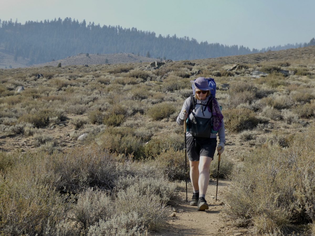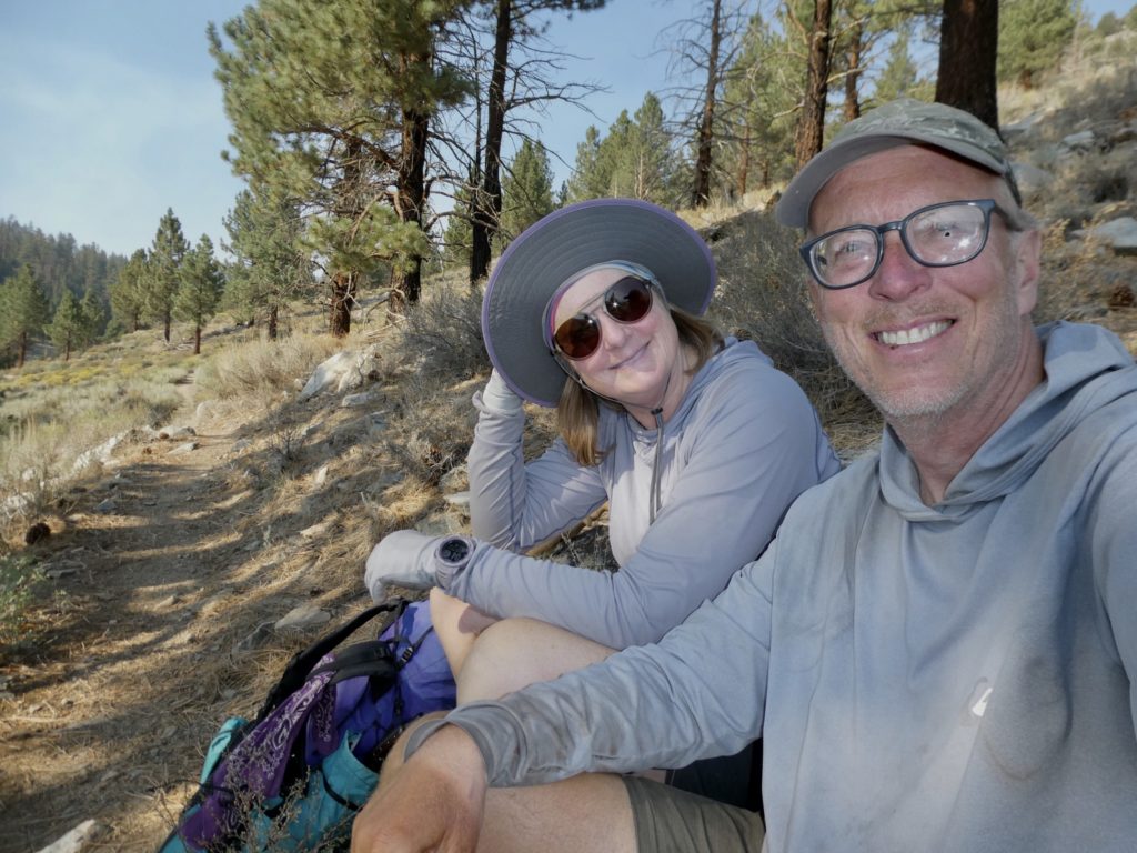
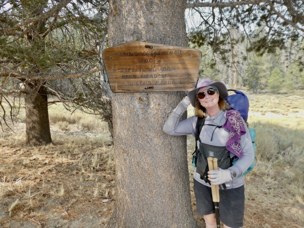
Food has departed, town day has arrived. It was surprisingly brisk, but we were on a mission named “Grumpy Bear”. Bunny was a dot once we broke camp.
It felt odd leaving the Kern River. I hated leaving the only source of water to just return to it in 10 miles. We’ve been told water is scarce from where we camped all the way to Walker Pass, but the Kern was flowing pretty well. We didn’t bother filling all of our bottles. We normally go through about a liter every 5 miles.
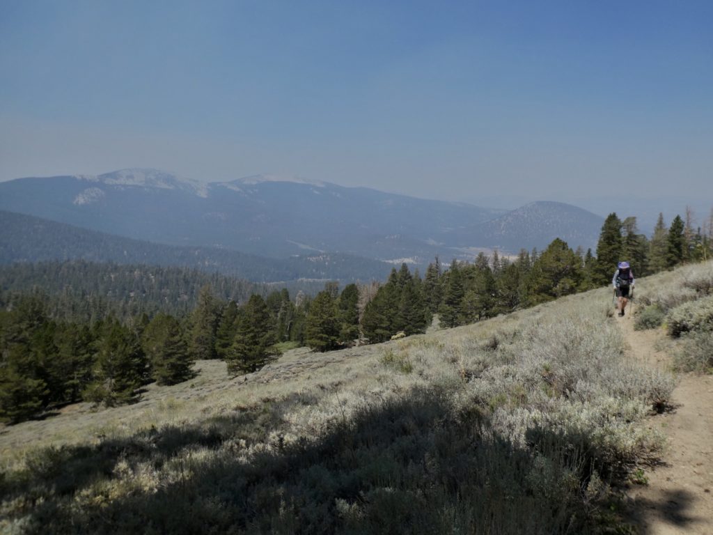
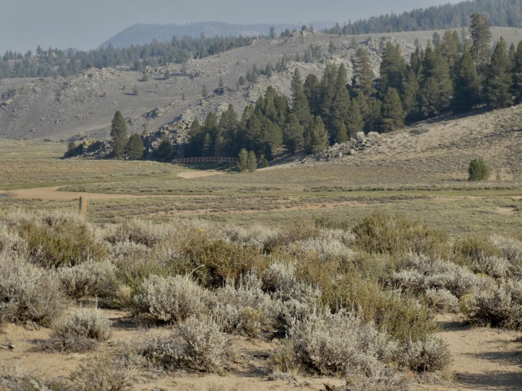
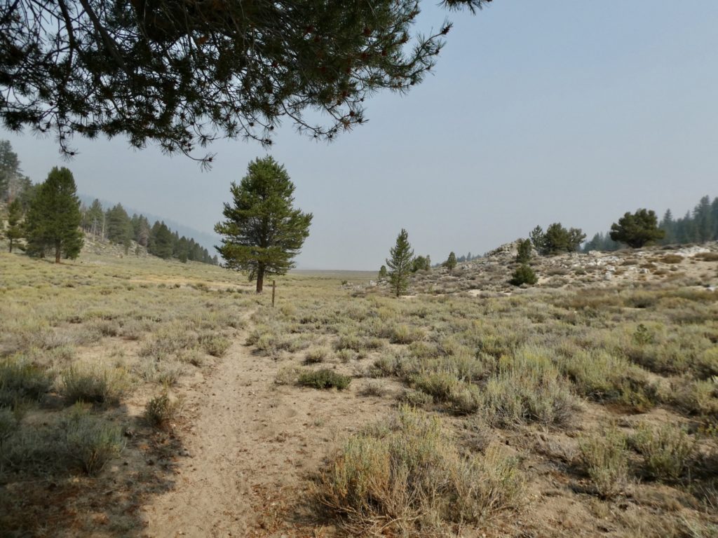
We had to cross a meadow to get to a ridge running on the backside of Deer Mountain. From the backside of the mountain, we could see several farm houses and ranches. The trail skirts just to the east edge of a private meadow. About the time we dropped down to the meadow, the entire valley filled with smoke once again.
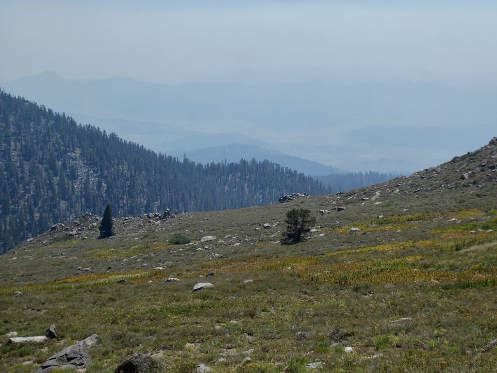
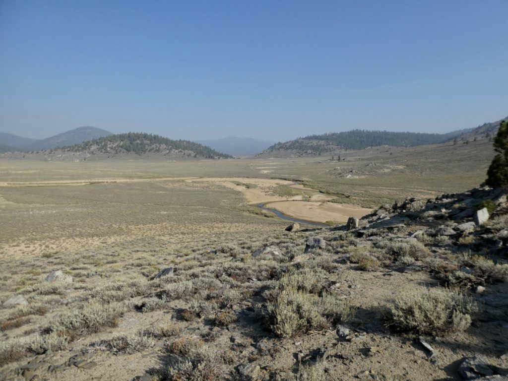
The Gut shows streams running through the meadow, but they were all bone dry. The only liquid in the area was in the venom of all the poisonous snakes I imagined lurking in the dry grass. Gentlemanly, I offered to let Bunny lead. She demurred.
There were several nice looking camping sites if you discounted the lack of water, the thick smoke in the air, and all the hidden rattlesnakes. It wasn’t the most pleasant walking, but it was possible for things to be worse. We got to the end of the valley and things got worse.
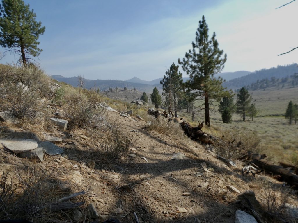
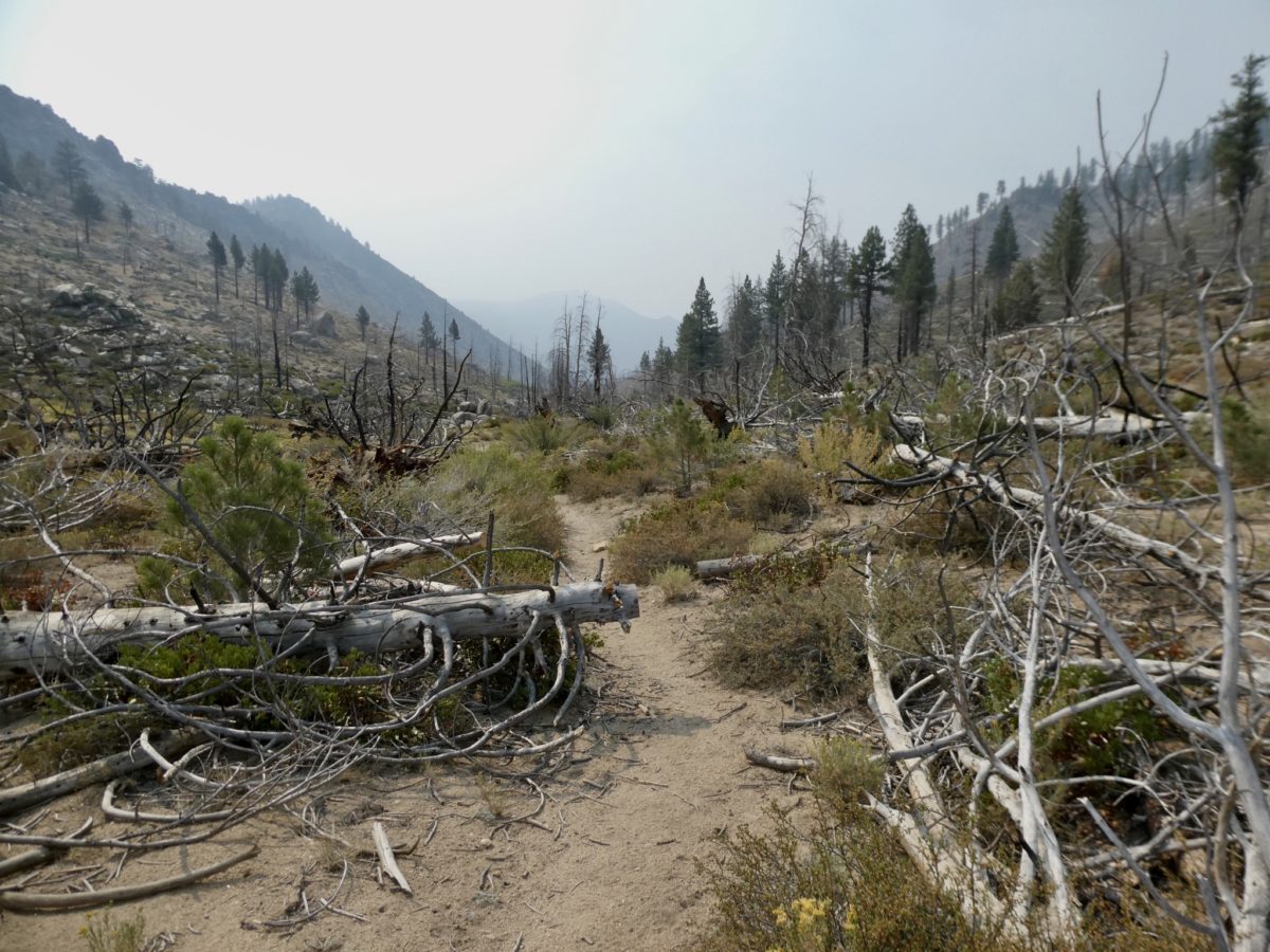
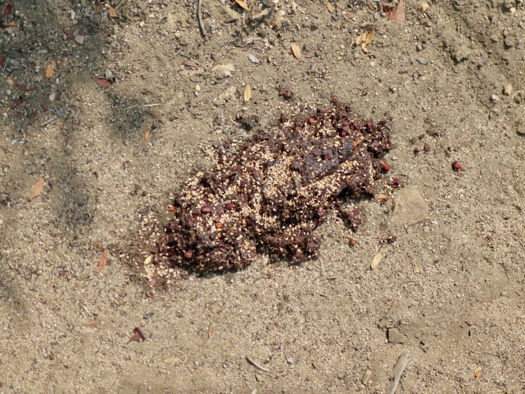
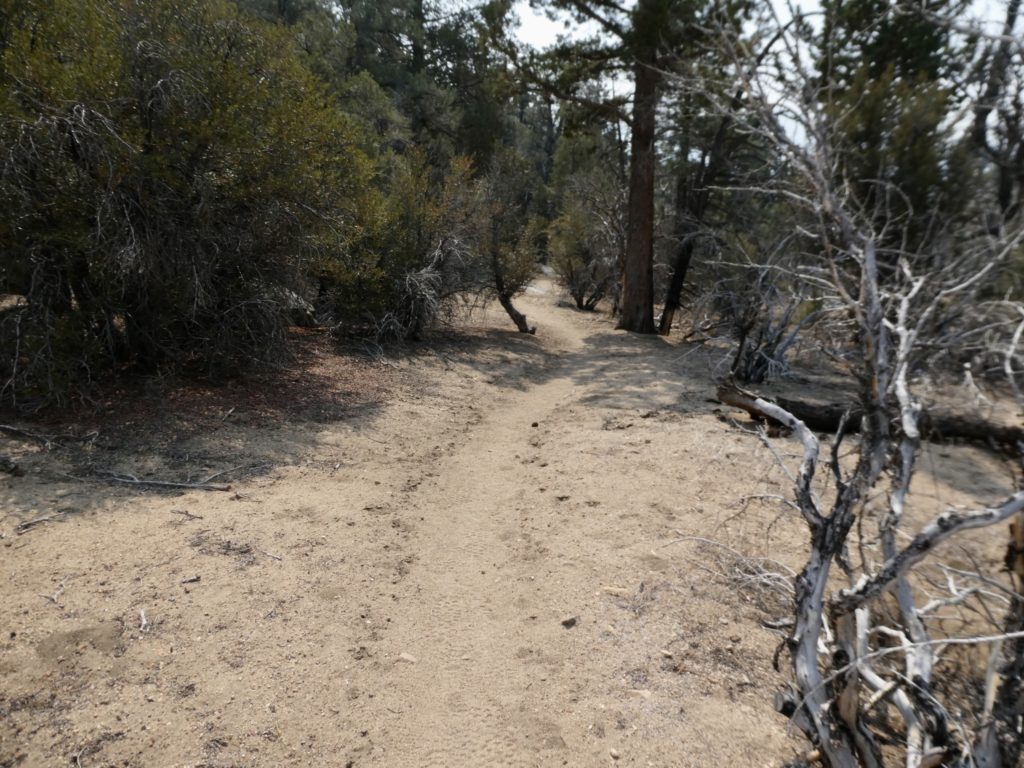
The next 4 miles were in a recent burn area. If we touched a tree, we got charcoal stains. There wasn’t any shade because all the trees were gone. If any were still standing, they were a threat to your life that they might fall. That wasn’t too big of a concern since there was absolutely no air movement. This was one of the most miserable sections of hiking we’ve had. The trail was difficult to follow because of debris. The only upside to the whole experience was that we finally saw a huge pile of bear scat.
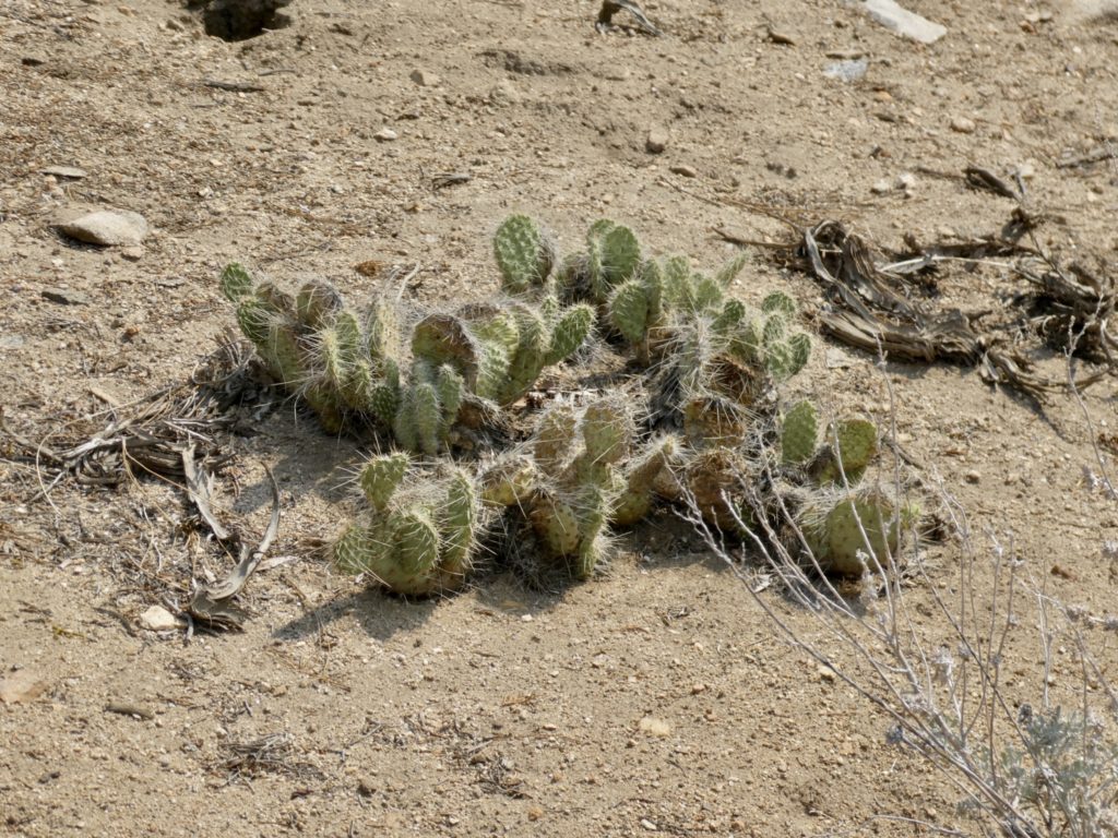
The transition to desert was now complete with the appearance of cacti and other harsh looking plants. We could only look forward to getting through this burn area and back to the river. We had used way more water than usual and we’re almost out.
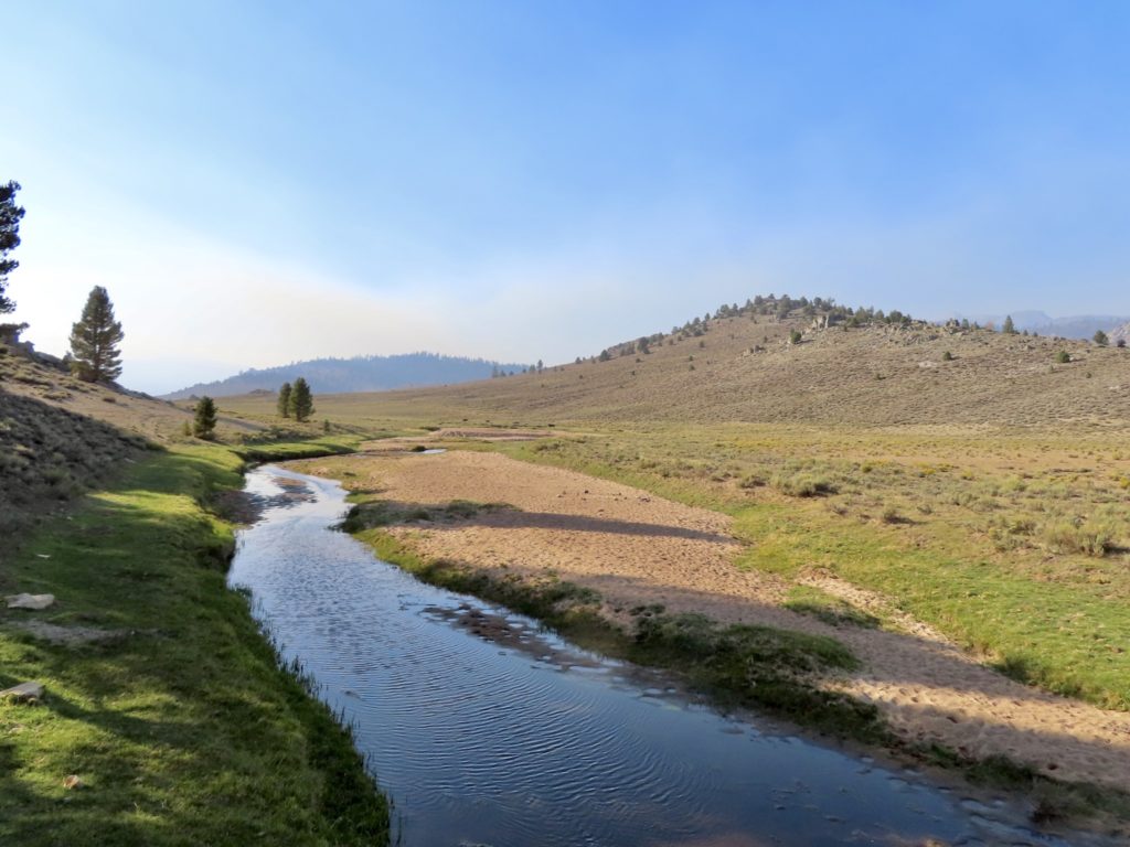
The Kern runs roughly the same distance we hiked to get back to it. My guess is the path of the river goes through some narrow gorges. We had to walk around 2 mountains to get back to where we followed it all the way down to Kennedy Meadows. We started dropping back down in altitude and could see a nice bridge crossing ahead—the Kern. When we got to the bridge, we were shocked and dismayed. There wasn’t any flowing water. There wasn’t any clean water. There were only a few stagnant puddles that were absolutely disgusting. No chance for water here.
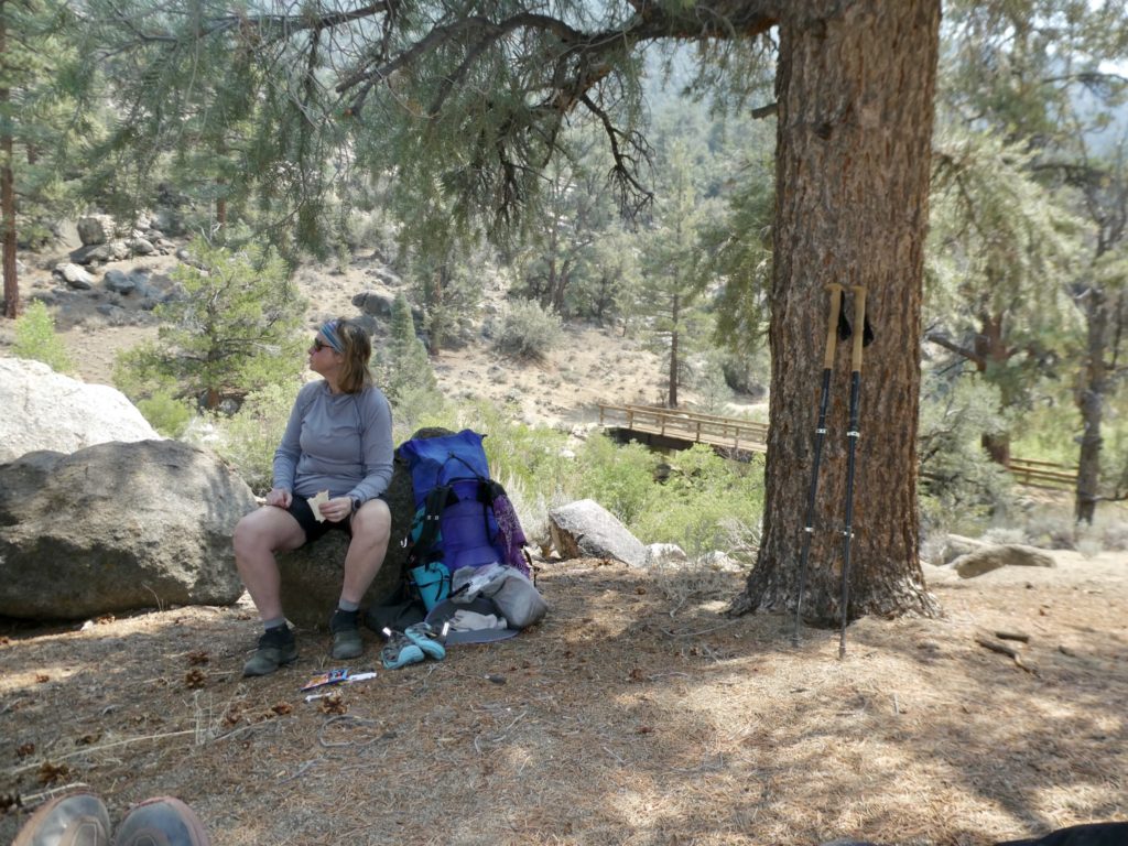
There was a nice shady spot so we stopped for a snack and the rest of our water. There is a BLM camp in another couple of miles which has running water, so we can fill up there. This does present a problem proceeding out of KMS, though, because we were counting on water for another 7 miles and a day after. This will mean a much heavier carry coming out.
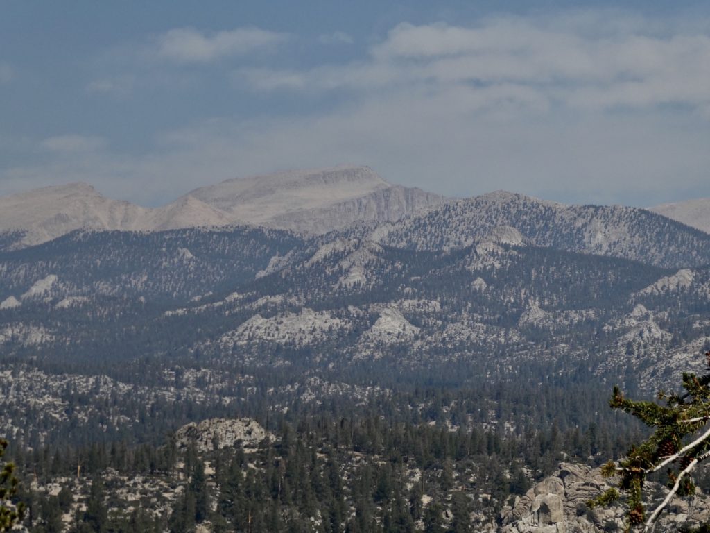
We crossed the source of water for Lake Isabella and wondered what was happening with the fire there. There was a smoke haze ahead of us that we were now walking towards. As we approached the BLM camp, we ran out to a couple for a day hike. They told us they were getting ready to go visit their daughter in Mammoth Lakes and we’re just stretching their legs.
The water was off in the BLM camp. Now we are very concerned about continuing on. The Kern is dry and the BLM has shut off water leaving only one possible source for 50 miles to Walker Pass…a source described as contaminated by uranium. There’s also a fire ahead of us slightly off trail to the west. Things aren’t looking good.
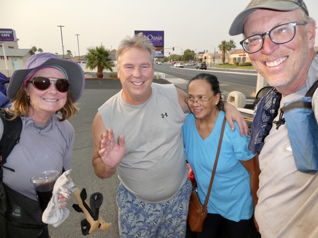
We had no choice but push on the final couple miles to KMS. Upon reaching the road into town, a convertible pulled up. It was the couple we had met day hiking. They were checking on us to make sure we were ok. They offered us a ride into Kennedy Meadows. It didn’t look far on the map, but we took it. We were hot, tired, and thirsty.
It was a lot further than the map showed. We were not impressed with the general store, so we asked them if they could drive us on down to Grumpy Bears. This, too, was much further than we expected. Well over 4 miles. It was equally unimpressive. For being such an iconic stop on the PCT, we were severely disappointed. While they were driving us through “town,” they were also trying to talk us out of continuing on. They told us stories of the smoke filling the Mojave Desert and the lack of water. When they told us they lived in Ridgecrest and would drive us down, we threw in the towel.
We want to finish the PCT, but we’re not dying to finish the PCT. It was already a Thursday and we knew, from past experience, that Ridgecrest has limited transportation opportunities, but Kennedy Meadows had no transportation possibilities this late in the season—bird in the hand! Worst case, we’d spend a few nights in a cheap hotel and get out on Monday.
The couple were planning on stopping at their favorite burger place on the way back to town and asked if we’d mind. It’s been 10 days since our last town food and we were trying not to let on how thirsty we were. They gave us a bottle of water and some fresh fruit to have while we drove the scary drive down from the mountains to the desert. Getting down into the desert confirmed to us we had made the right decision to get off trail. Save our lives, get a free burger…that’s a new motto we live by.
We have less than 200 miles to finish the PCT, but it will have to wait. 50 miles is in a dry desert section with the remainder being in an area that’s been burnt two years in a row. Our dream of thru-hiking the PCT is a bust. It’s taken us 3 years to Lash 95% of it. With the conditions out West, I think thru-hikes of the PCT are going to become more rare. The only people that will be able to pull off thru-hikes in the future are the fast and strong…those people willing to put in 30 mile days, every day, with no zero days. We are not the type, nor do we want to be that driven at this point in our twilight years.
EFG