
First off, let me clarify. This is NOT an AI generated blog post. How sad of a world it would be if billions of dollars and decades of research lead to an artificial intelligence talking about pooping in the woods. Sad times indeed. All poop mentioned hear-in is real.
Days 3-5 AT Lodge, Millinocket
After my foray into aqua-blazing out of Baxter, I decided to take a few days to allow water levels to recede. Word was that massive releases from reservoirs upstream were happening to make room for the predicted 8 days of rain and storms.

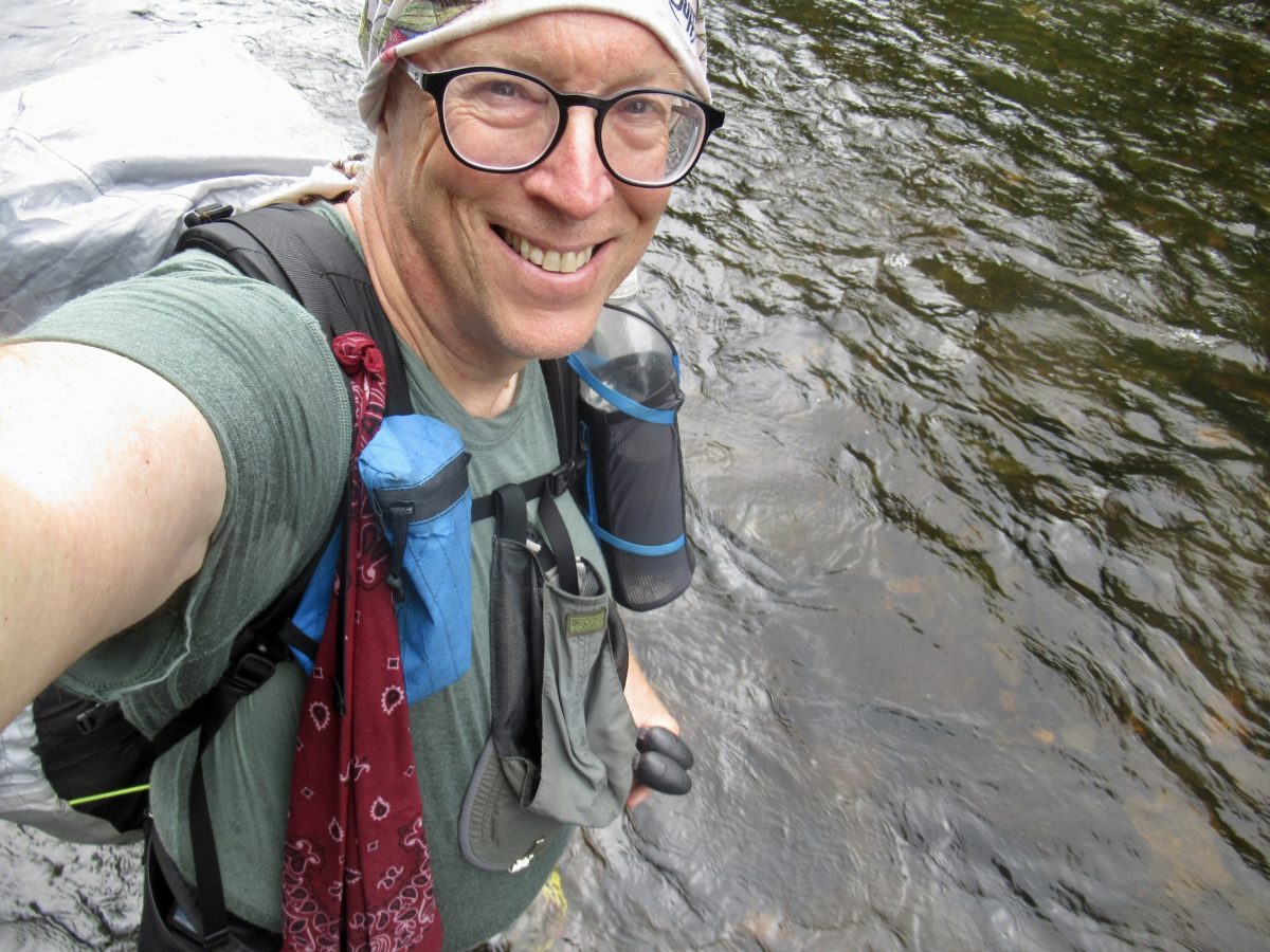
I’m not afraid of rain. I’m pretty sure it consists of the same compound I sometimes shower in when not hiking. Even after just 2 days of hiking, it’s apparent enough that I don’t use it enough in my daily routine.
At the AT Lodge, I met a hiker who was finishing up his Triple Crown this year. Little Alan was here finishing up a short section he skipped on his hike before returning to Wyoming to finish his CDT by September 15 so he can get his ALDHA recognition this year.

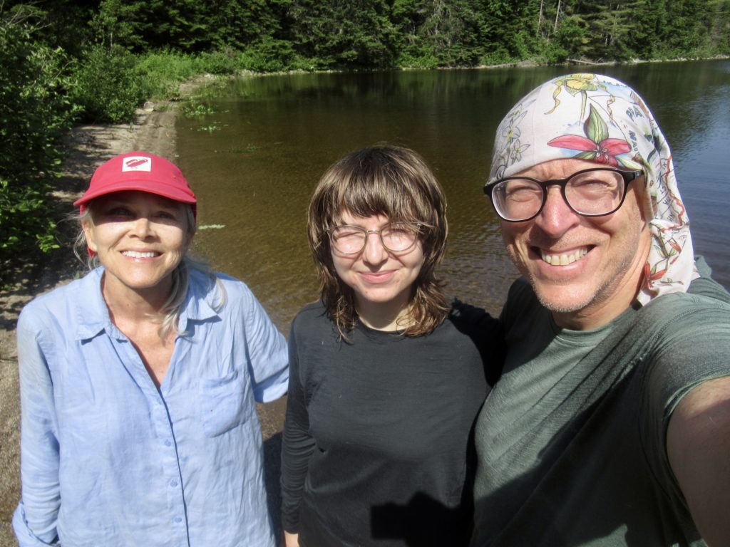
I also met a group of 4 hikers that I assumed were two sisters, a husband, and their daughter out to hike the Hundred Mile Wilderness. We all went out to dinner together the last night in town before hitting the trail.
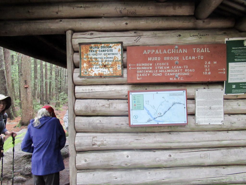
Day 1, Rainbow Spring Campite, 26.5, 11.5
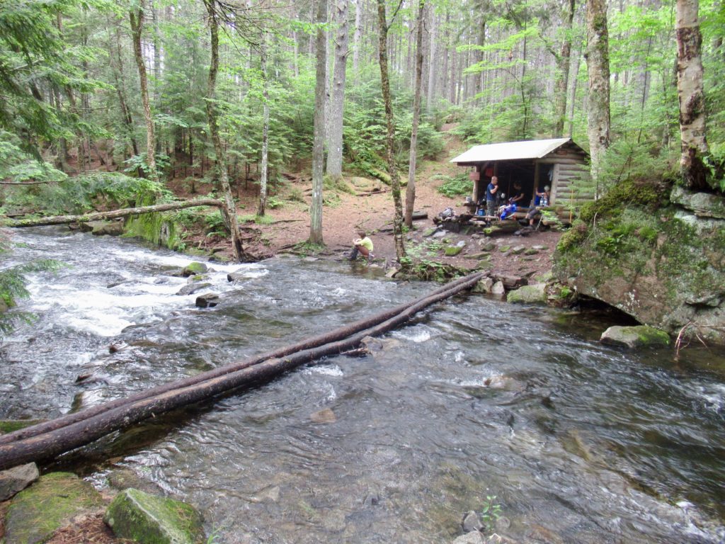
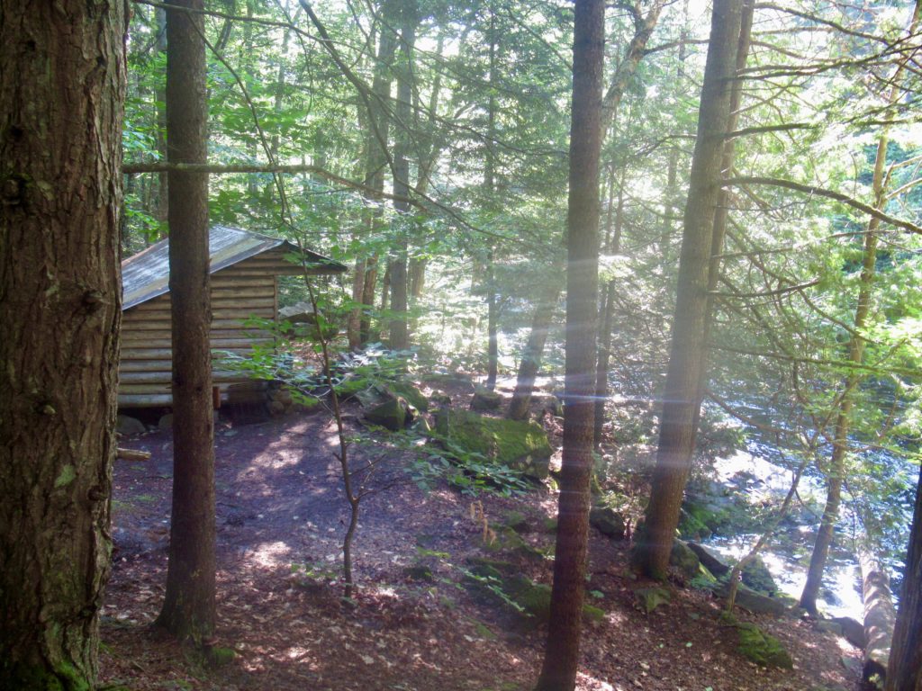
Maybe took us to the ABOL Bridge Campground at 8:30. It was a dreary, overcast, and rainy drive. It was the exact type of day I was expecting in Maine for hiking. When he dropped us off, I was amazed to see how much the Penobscot River had dropped—there was camping available at the store once again.

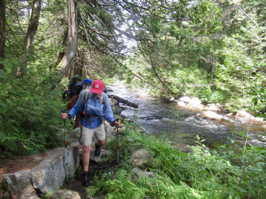
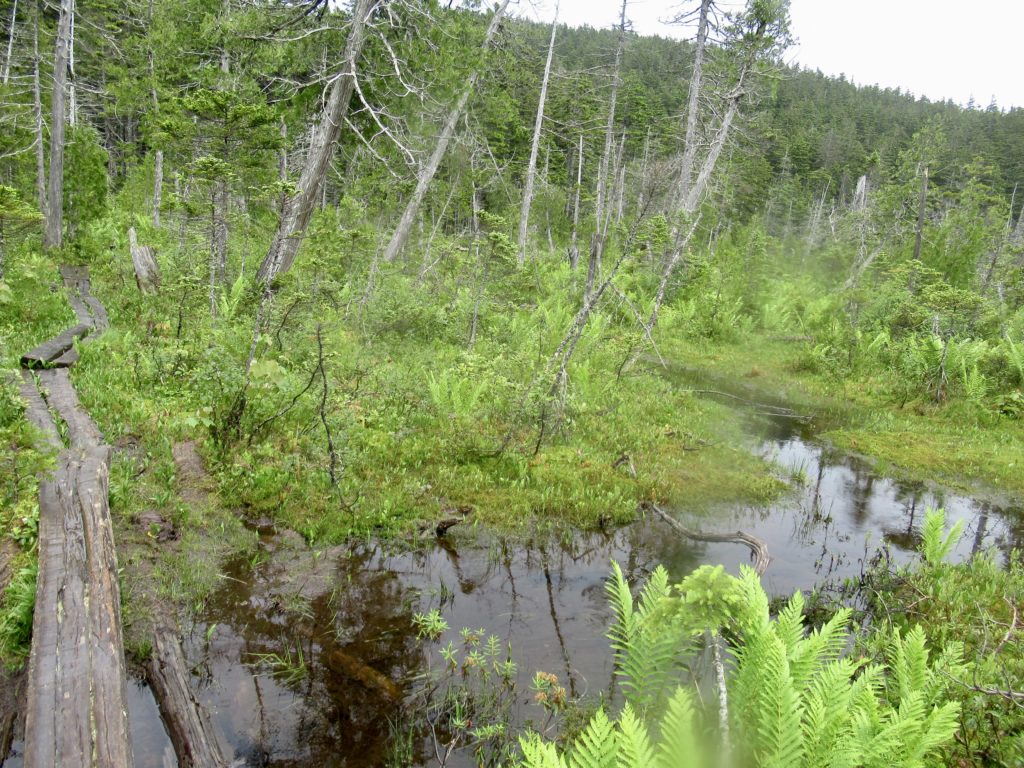
It even stopped raining by the time we started hiking. I didn’t know if the group of four was serious about me hiking with them or not, so I stuck to the back of the line to let things evolve. The trail was not bad at all, but we were moving pretty slow. We met a few NOBOs on top of Rainbow Ledges who told us the trail was still completely flooded for the next several miles.

Up to this point, we had been avoiding puddles and going slow. There was still another 5 miles until we were to hit the campsite we had agreed upon. They told me to go ahead, so I took the opportunity to plow on and just getting my feet wet. I knew they would try to walk around the water and, even though I have no schedule, walking at someone else’s pace can be quite tiring.
I waited a half hour at the edge of rainbow lake without anyone showing, so I just continued on to the campsite. I had my tent all set up and was fetching water when Annalise (the imagined daughter in my scenario) showed up. I was cooking supper when the rest showed up. Annalise admitted she had never hiked this far before. She also hadn’t eaten or drank enough today. She was getting sick and just wanted to go to bed. I gave her half of my meal (which was way more than I needed since my hiker hunger is still nowhere in sight.
Day 2, Wadleigh Stream Lean-to, 38.2, 11.7
It started raining as soon as we got in our tents. Not heavy, but a continuous drizzle with intermittent heavy periods almost all night. It did stop by morning. They were all early risers. Patty and Eric (my imagined mom and dad) were the first to leave a bit before 6—Patty wants to see a moose. Annalise and Jude left around 6:15. My alarm was set for 7.
I don’t start any day without coffee. As usual, I boiled my morning water for breakfast, made my coffee, laid back in bed and contemplated the journey ahead. I’m just not going to do any significant mileage until I get past the Whites—10 miles/day. Now, I know this section is pretty flat and I could do more, but I don’t want to—especially with water filled trails. I left camp at 7:20–amazingly early for me.

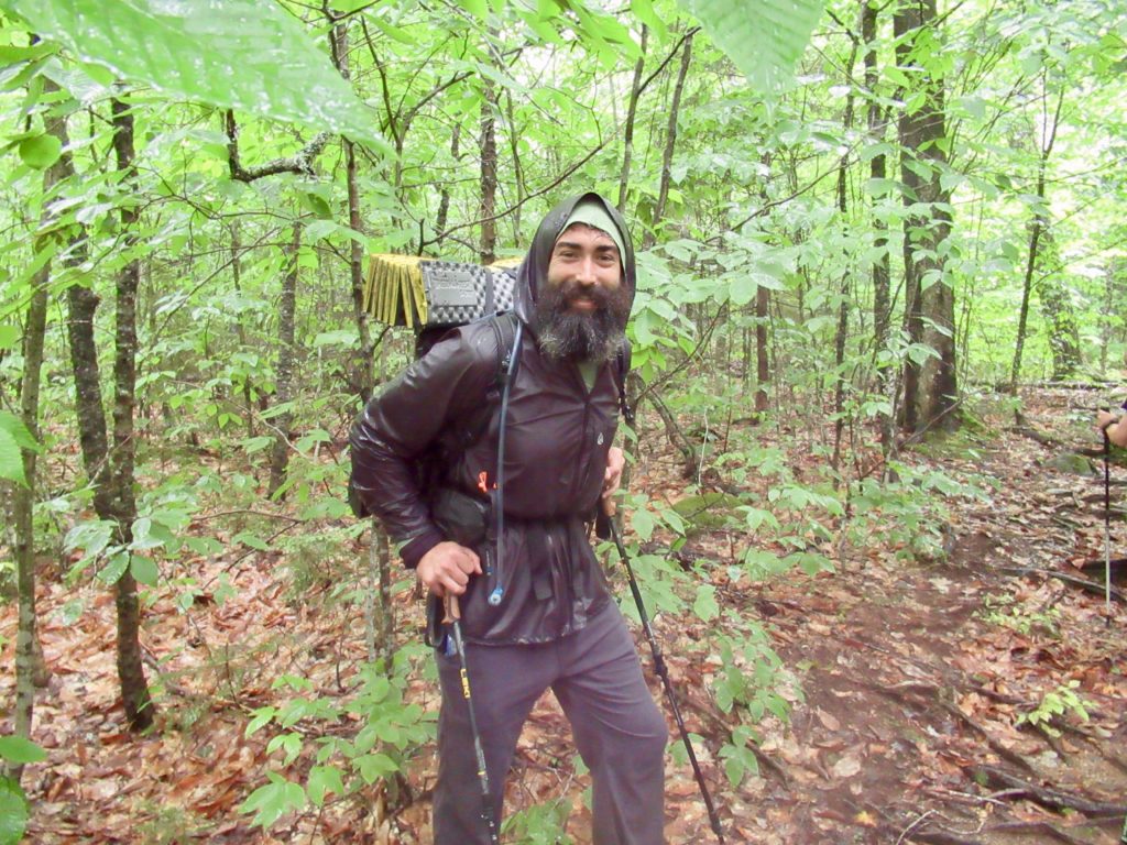
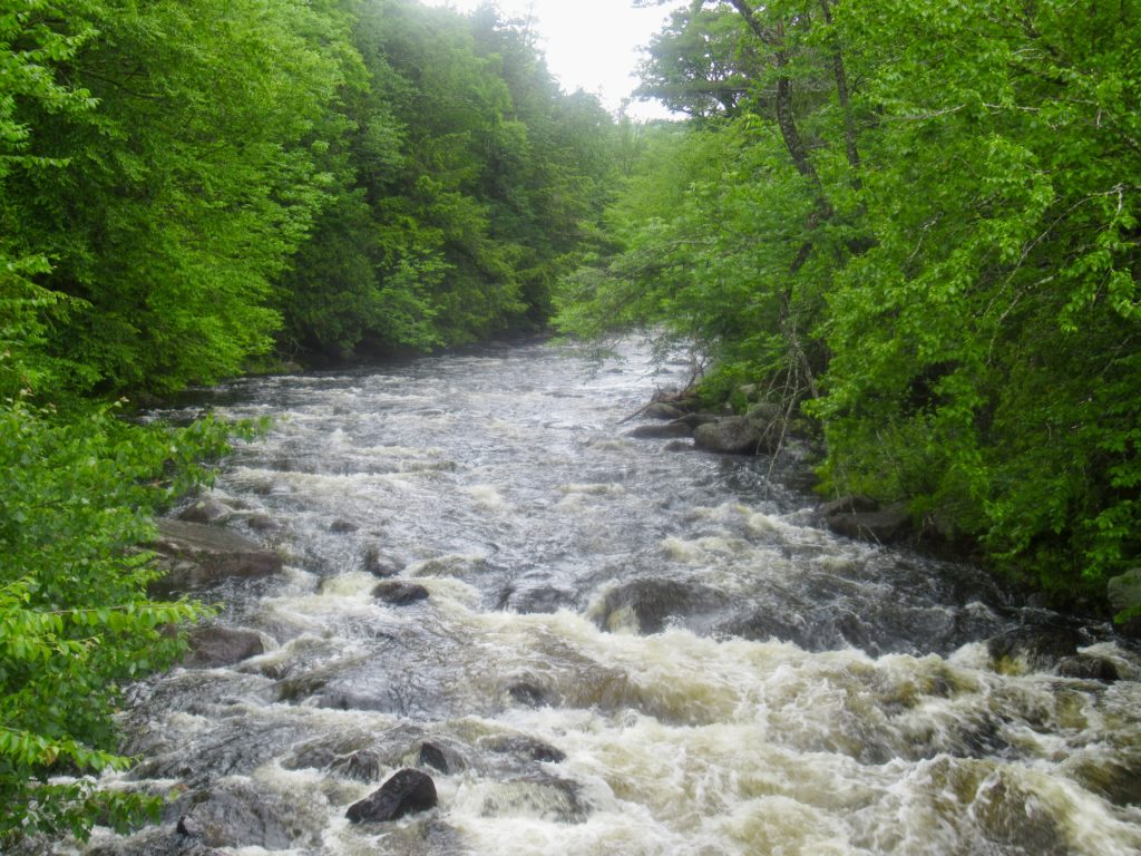
I caught up to everyone at Rainbow Stream Lean-to. Both times I’ve been to this shelter, you could step across the stream. Today, there was a wide river raging in front of the shelter. Fortunately, there was a makeshift bridge across even though is wasn’t even knee-deep. This is also where I met Southern Comfort—a fellow SEMOan from outside of Dexter. I ended up walking the rest of the day with Comfort.
Comfort is going to play an important role for me in the future. He has a house on the island next to the 88 Temples Pilgrimage in Japan. We talked about history, philosophy, and culture all day. I won’t be able to keep up with him for now, but he’ll be getting off for 2 weeks in July so, hopefully, we’ll be able to catch up to each other again.
Day 3, Potaywadjo Lean-to, 48.3, 10.1
I was the last to leave camp again today. House, Comfort, and Jude slept in the shelter but House and Comfort were long gone before I started my coffee.

I had my head down trying to ignore the mosquitoes. Easily Forgotten, is that you? It was Crush. Bunny and I have met him several times over the years, the most recent being when we hiked the HMW in 2021 will Sassy and Good Chip Norris. He was out with his girlfriend finishing the hike they had started in ‘21.

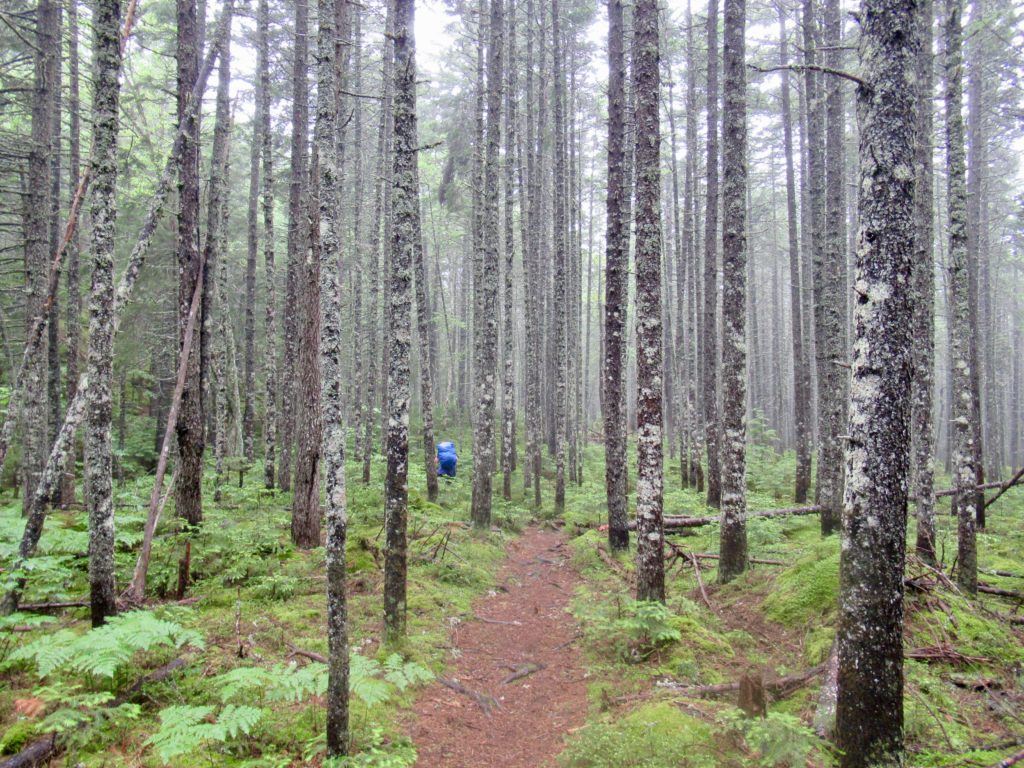
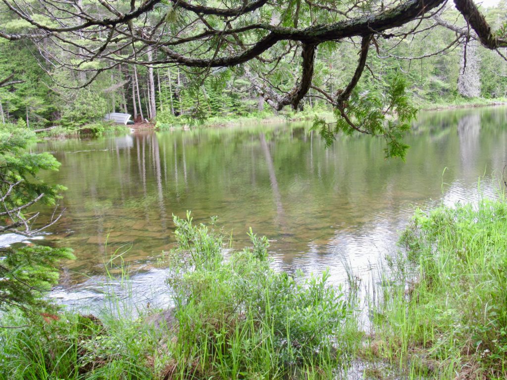
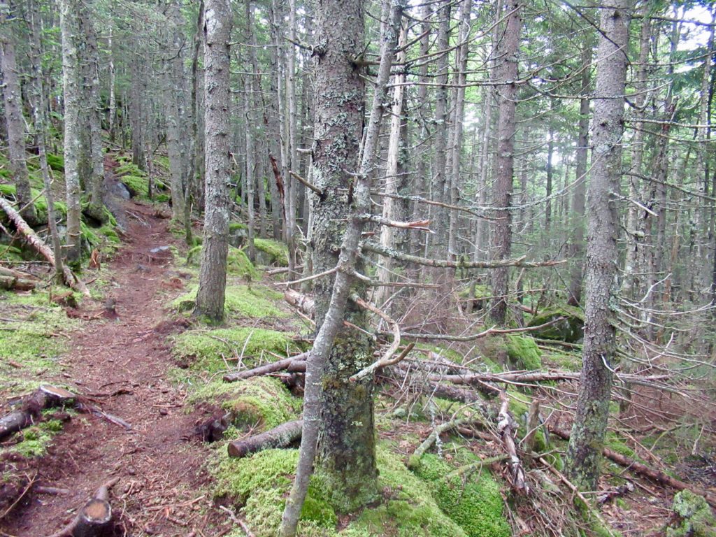
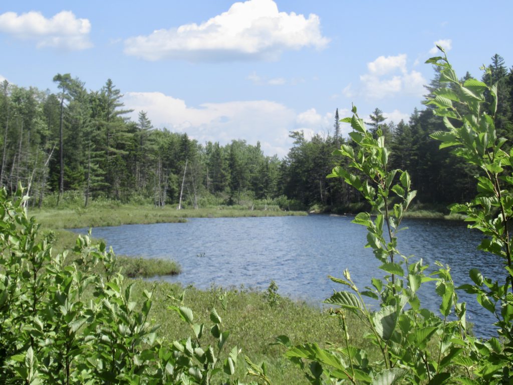
Overall, this was an easy day of hiking. I slinkied with the group of 4 all the way to camp. There wasn’t anything close to a view from Pemadumcook Lake.
I never listen to headphones when I walk. Having music to distract the mean bastard that lives in my head might help drown him out a bit, but I’m letting him have free rein. I no longer try to defend myself from him which is taking a bit of his bite away. He actually has some valid points about me. My hope is to come to terms with him on this trip.
Day 4, Cooper Brook Falls Lean-to, 59.7, 11.4
Finally, the sun poked its head through the clouds a bit today. It was an uneventful pleasant day of walking (still on flooded trail but no longer ankle deep). Starting tomorrow, the trail will have mountains. The east days are coming to an end. I got to camp early enough to rinse off all my gear and dry everything out before going to bed.
Day 5, Logan Brook Lean-to, 71.4, 11.7
George and I had stopped in Monson on the way up for me to register my hike with the ATC and arrange for a food drop. Tomorrow will be my food drop from Shaw’s. When I told Annalise and Jude about my upcoming food drop a couple of days ago, they got very excited. Not for the food, but because it gave them an escape path. They’re tired of the bugs and water. They want civilization!
My goal of peaceful coexistence with the prick in my head seems to be coming to fruition. As my comfort with water grows and self confidence increases, I’m getting more internal peace.

Day 6, Carl Newhall Lean-to, 78.6, 7.2
My food pickup wasn’t until 11a and it was an easy 3 mile hike to the meeting spot. Annalise, Jude, and I decided to kill a couple of hours on the beach at Crawford Pond just a quarter mile before the pickup. This finally gave me time to understand the connections between the four of them. Patty and Eric are married while Annalise and Patty used to teach together in Milwaukee. The most interesting connection was Jude…Eric and Jude used to live together. My respect for Eric has grown knowing he’s walking with his wife and former partner, but everyone was cool with the current arrangement.
After the pickup up and drop off (2 women for a bucket of food and a cold Coke), we all said our goodbyes. I still had 4 miles of hiking to get in—mostly uphill. If I make it to the next shelter today, I’ll only have about a mile and a half to go in the morning to make it to the first real mountain, White Cap, since I came down Katahdin last week. In other words, the party is over and the climbing has begun.
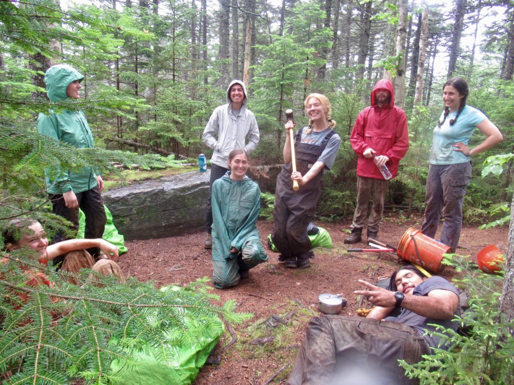
A group of seven hikers showed up at the Lean-to after Patty, Eric, and I had set up inside to avoid the rain. They were from a group called “The Summit Project.” They carry engraved stones of fallen Maine military heroes who have died since 9/11. Volunteers carry engraved memorial stones with the soldier’s name, birth date, and death date. Whenever a volunteer goes on an adventure anywhere in the world, they grab a memorial stone and learn all about their soldier that they can, then share it with others to keep their memories alive. The weight of the stone in their packs is a reminder of the weight the family members of the fallen carry in their hearts every day of their lives.


Day 7, Chairback Gap Lean-to, 88.5, 9.9
Maine Appalachian Trail Club (MATC) is responsible for maintenance of 270 miles of the 280 miles of the AT in Maine. The other 10 miles is “maintained” by the great satan, the AMC (Appalachian Money Club). The AMC spends the majority of their time covering up stealth sites forcing AT thru-hikers into their pay for stay campsites. Once you’re being robbed to camp in a National Forest (which has a free camping policy nation wide except for designated campgrounds), you’re barraged with how hard the AMC works to process your shit. The executive director of the AMC receives a $1.4 million salary to embezzle trail maintenance funds from the ATC. I’m willing to bet he’s never walked the AT in the Whites or stirred any of the shit he underpays his campground hosts to do.
The MATC maintains 270 miles of the best maintained trails. They are building new stone steps, repairing boardwalks, and building new, ADA compliant moldering privies. These privies are top of the line. They don’t make us feel guilty for shitting. They don’t charge us to camp. They actually maintain the trails (two new reroutes in the HMW this year alone). They create stealth sites along the trail to promote distributed camping. And the best part, the executive director of the MATC is a volunteer. Can you guess which state has the worst maintained section of the AT? I’ll just give you a hint…it’s not Maine, Vermont, Connecticut, Massachusetts, New York, New Jersey, Pennsylvania, Maryland, Virginia, North Carolina, Tennessee, or Georgia. I’m convinced there is something illegal going on in New Hampshire.
I wish I knew the source of this rant. I have almost 200 more of good Maine Trails until my true rant of the shit-eating AMC goes into full force. It rained most of the day, yesterday. Maybe that set me off. It wasn’t bad enough for me to use my umbrella. It actually felt refreshing.
Today was not a rainy day (on me). I saw it storm in front of me and I saw it storm behind me. Big storms, heavy rain, but not a drop on me. Someone is watching over me. Towards the end of the day, the AT ridge runner, Huff, caught up with me and walked the last mile to the lean-to. I met Huff when I climbed Katahdin. I’m sure he was sizing me up then to determine if he might end up carrying me out one day.

Day 8, Long Pond Stream Lean-to, 99.6, 11.1

After Huff left me last night, a group of girls descended on my camping spot. I’ve seen 4 different camp groups out hiking a 200 mile section of trail—2 groups of girls and 2 groups of boys. Both groups of boys looked miserable and completely unhappy. Both groups of girls were excited and happy. I did hear one girl crying tonight because they were getting near the end and she didn’t want to stop backpacking. The girls are kicking ass!
My feet are starting to get a bit chewed up from all the time in water every day. I’ve been lathering them in vagisil every night once they get dried out, but the water and wet socks are winning. Today, I put on a new pair of dry socks and made every effort to keep my feet dry to give them a break before tomorrow. It slowed me down avoiding mud and water. I rolled into the lean-to after 6:30. There were 3 people already there and I knew them all.

We talked while I set up my tent and cooked supper. Tomorrow, 2 of the guys will exit the HMW, but I’m going to spend another night out. In spite of the rain, watery trails, and bugs, I’m having a great time and don’t want this portion to end. This has been the longest section of uninterrupted wilderness I will spend on the trail until I come back this way next year.
Day 9, Leeman Brook Lean-to, 111.7, 12.1
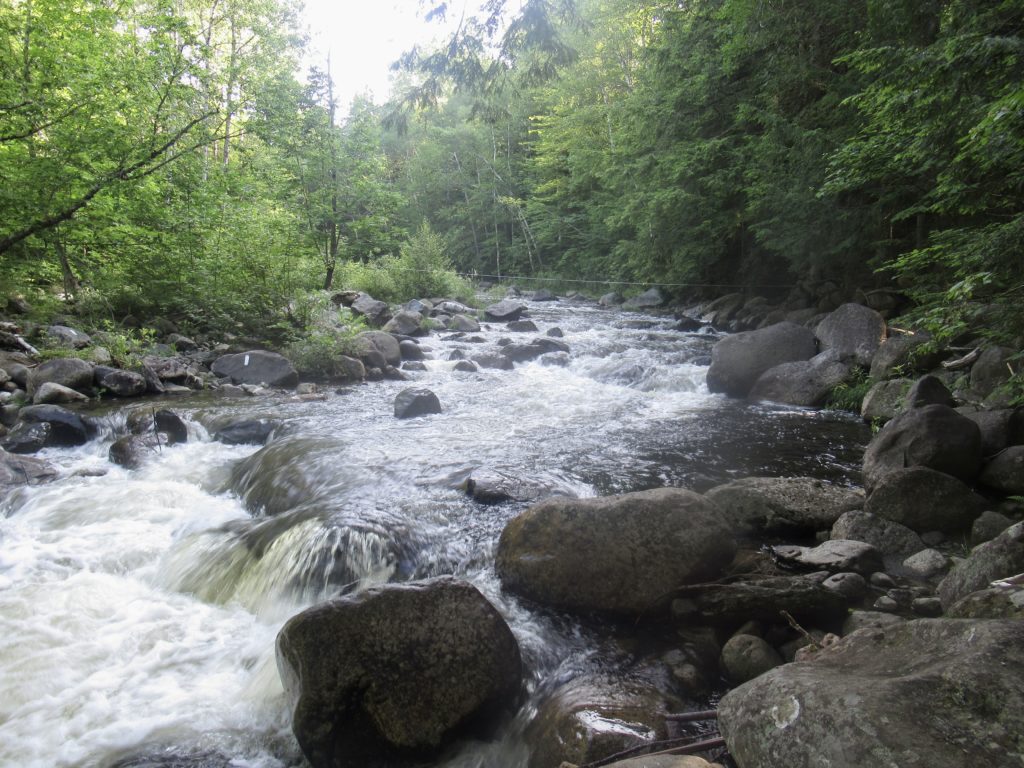
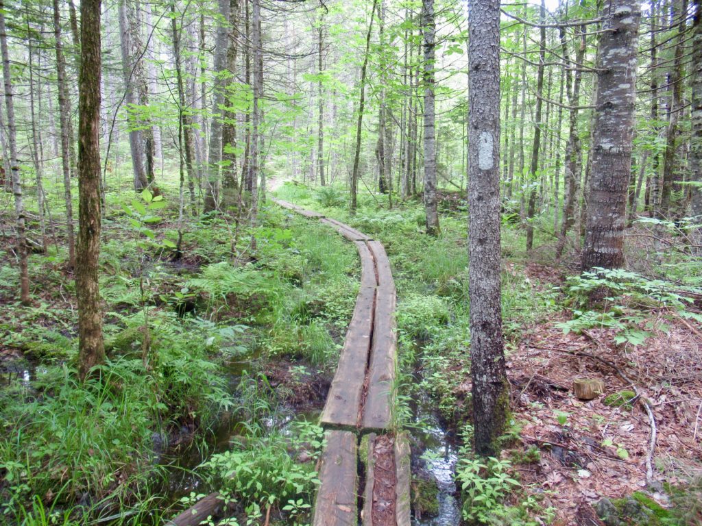
Today can be defined by combining 2 phrases: water crossings and obstacle course. This was the day I’ve been dreading ever since I decided I was going to do this hike. In 2021, we hit high water on Long Pond Stream. I was intimidated, but GCN, being a member of the Norris Clan, forged on ahead and helped us all through. It was flowing fast and almost waist deep on me then. I’ve heard nothing but “high water, high water” since I got to Maine. I’ve lost lots of sleep over this stream from my previous experience plus all the hype over both of the Wilson’s.
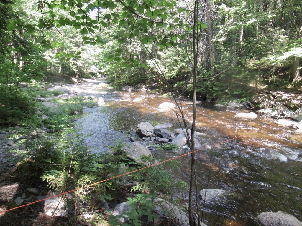
Long Pond Stream was definitely the worst crossing today (and the first being only a mile from the lean-to). It wasn’t as bad as 2021, but I was still a little nervous since I was by myself. No problem.
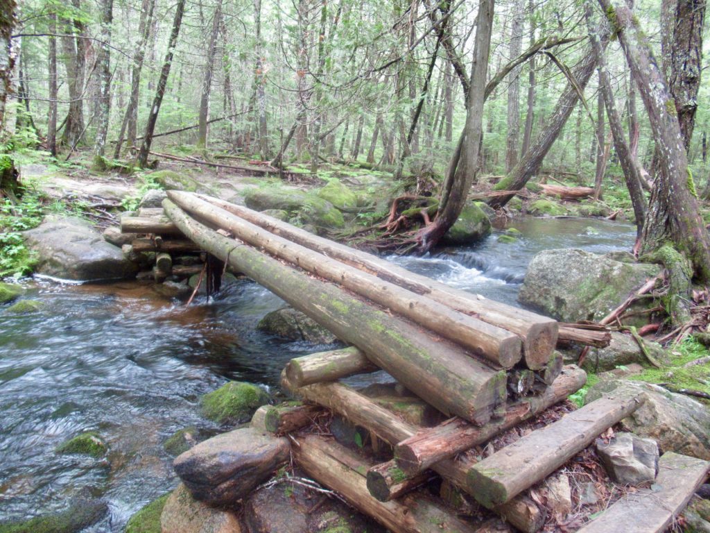
In total, there were 6 water crossings where is was impossible to not get your feet wet. Only 3 were knee deepish and were flowing fast enough to cross using the safety crossing protocol. The other 3 I barely noticed when I crossed as they were only mid calf deep.
The MATC does a pretty good job with the trails where they need to. In other places, they are more than happy to make use of the extensive tree root networks and boulder fields wherever they exist. This turned out to be my longest day with all the trail scrambling and water crossings. It took me almost 10 hours to cover the 12 miles (but I took lots of breaks because of the unexpected heat). The temperature exceeded 90 today. I was expecting the daily temps to barely reach 70.
Day 10, Monson, Shaw’s Hiker Hostel, 114.7, 3.0
Today was the first time my alarm went off before I got up. Since the sun comes up around 4:30, I’ve decided to take advantage and get up most days by 6. I’ve been setting my alarm for 6:30.
I knew I only had 3 miles to the highway and civilization today so I opted to sleep in the lean-to for the second time last night. I had the whole shelter to myself—sort of. The mice and chipmunks harassed me most of the night. Plus, it never cooled off. I got up a couple of times, more from sweating than from other actual need.

Climbing out of the lean-to, I took the hardest fall I’ve taken on trail. Even though the sun was out yesterday, the rocks were all sweating today and slick. I hit a slant and went down hard enough to cut my arm in 3 places. The rest of the day, I was moving slow and having to stop every 10 steps to wipe the sweat off of my face.
When I was about a quarter mile from the road, I gave Hippie Chick a call to see if I could get a ride. As soon as I hung up, I saw big movement in the trail ahead. It was massive. I could see its ass was as high as my head. Finally a moose in the trail less than 50 yards ahead. I quietly pulled out my camera. He looked around. I hit my power button and the camera start music played, off he went. 20 yards and then a hard left into the woods.
I ran up to where he had been. I wasn’t 30 seconds behind. I could see the hoof prints in the trail. I look at the woods where he turned in—nothing! I don’t even see how he for between the trees but he was gone. I’m convinced moose are spirit animals.
I’ve seen one, my first, on the trail. It was a fitting end to my solo HMW.
EFG
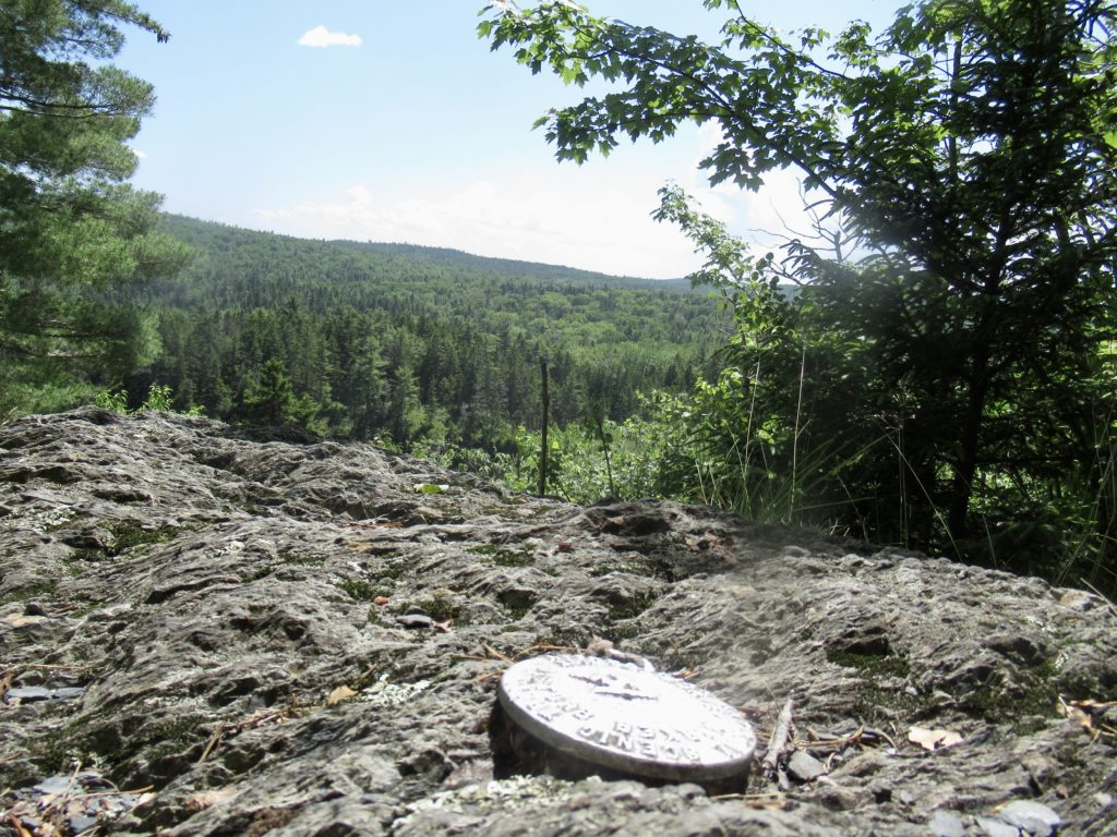
best view i have ever seen !