
When I got to Shaw’s after the HMW, I weighed myself. I was down 17 pounds from when I went in. During my first day at Shaw’s, I drank 190 oz of fluids and didn’t pee a single time. After breakfast the next morning (including multiple cups of coffee), I submitted my paperwork for the next stage of my journey. After that task was complete, I weighed again and was only 2# down from when I went in to the HMW.
I had no idea I was so dehydrated. I had been drinking tons of water (in excess of 5 liters/day), but I was sweating like mad. I actually thought I was sick until I got into town and everyone was bitching about the heat and humidity. I was glad it wasn’t just me becoming an even older man. The weather sucked.
Day 1, Horseshoe Canyon Lean-to, 9.0
I had lots of fun on my off day at Shaw’s. Now, the new MO seams to be analysis of my previous town visit on my first day back on trail. As I’ve said, I don’t wear earbuds or listen to anything when I hike. No one on the planet has been in more self-analysis than me.
After the prick in my head got done with his field day of everything I had done wrong in the last 48 hours, he turned to a question I had been asked. I had met Emily, She-Beast, and Bad Ass Buttercup heading north in the HMW. They came back to Shaw’s for a couple days of rest before Emily flies back to New Zealand. She-Beast and Bad Ass will finish up the HMW and Katahdin then flip south. Their thru-hike finishes on Franconia Ridge. Emily asked the question, “Do you think you’ll ever get married again?” (I had told them I’m a two time marriage loser—I’m trying to be open and honest about everything.)
At the time, I had simply said “no.” Today, he got going on this subject. I’ve screwed up 2 women’s lives and I won’t do it a third time. It’s said you can’t love someone until you love yourself. That’s a non-starter. I’m out here trying to reach a truce where my inner voice and I can agree to mild contempt of each other—love will never be a possibility.
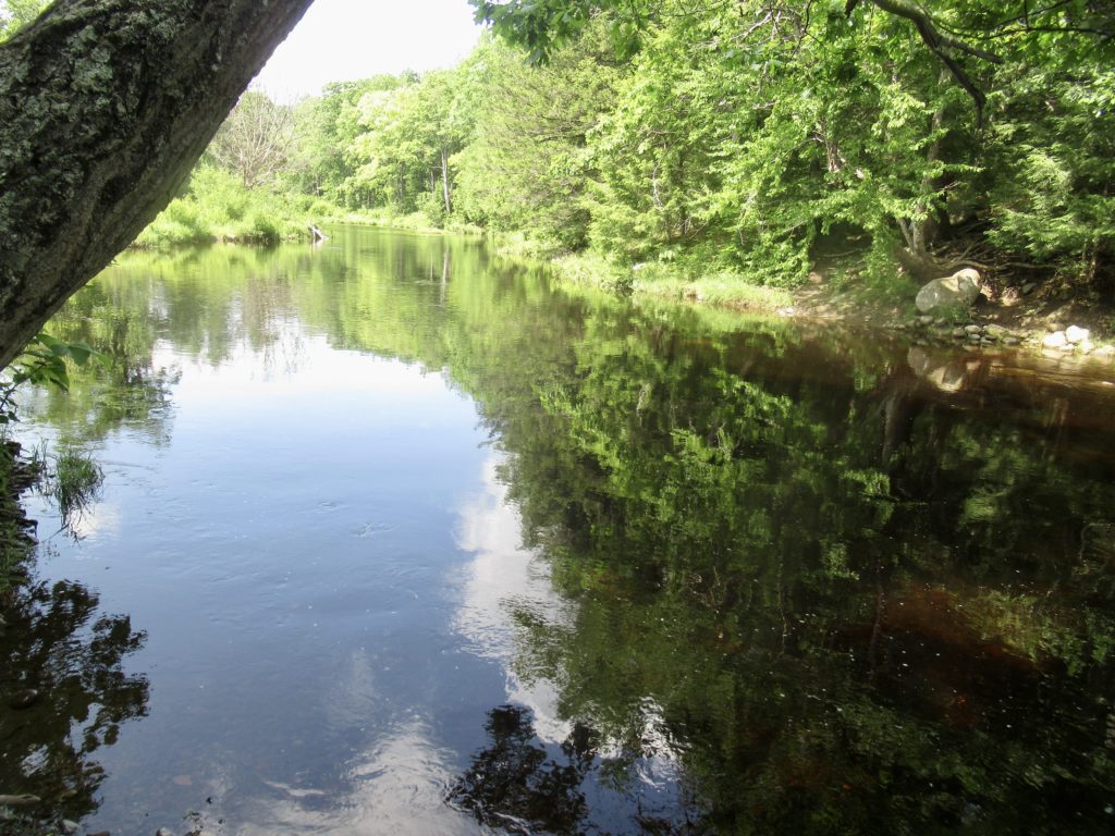
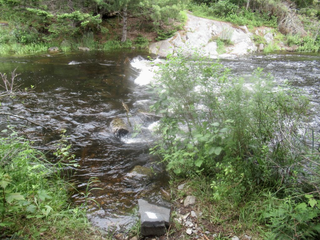
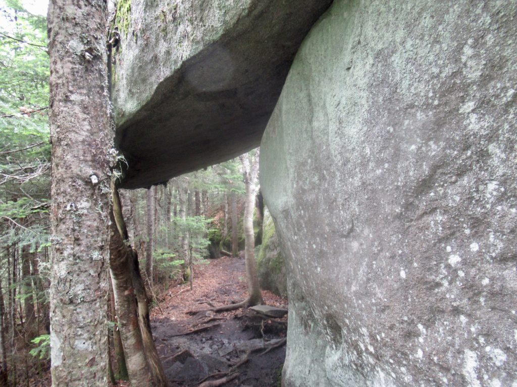
The trail was an easy walk to the lean-to. I tried to keep my feet as dry as possible to give them some more healing time. When I reached the East Branch of the Piscataquis River the dry times were over. I met an English woman, Cup of Tea, who gave me a heads up about the West Branch which is faster and deeper. The East Branch was not even bad enough to “do the shuffle” while crossing even though it was mid thigh on me.
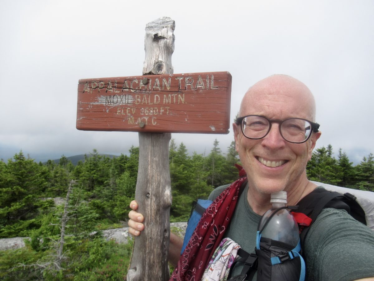
Day 2, Bald Mountain Brook Lean-to, 13.0
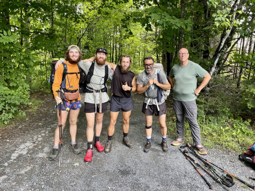
No one will ever believe this, but I was the first one out of camp today. No, I wasn’t the only one there. There was another pair of bookends—one SOBO, one NOBO. Money Shot was the NOBO. I didn’t ask how he got the name afraid that he might be a former porn actor trying to get some anonymity on the AT. The other SOBO was Curtis…not my alter ego. An actual entirely separate person. He goes by Curt.
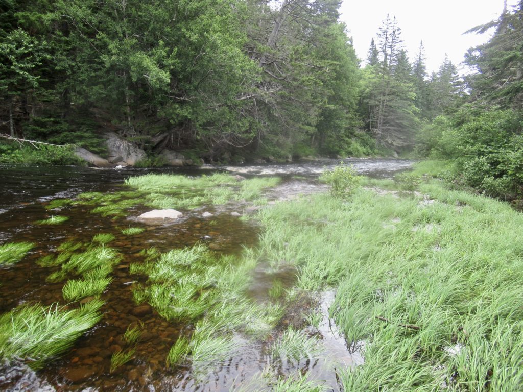
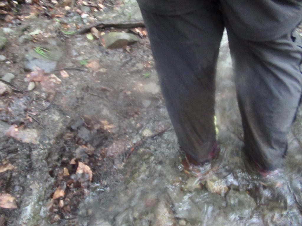
Why was I out of camp so early? (7:07a, thank you). I was actually a bit apprehensive about the West Branch. I shouldn’t have been, seeing how little the two women were, who gave me advice on the crossing. The river splits around an island. The back side, the branch I cross first, is waist deep on me, but slow moving. I was told to aim for the tip of the island then shuffle across the fast current which was only mid thigh deep on me. It wasn’t as bad as I had worried about. My water crossing tolerance has increased a lot on this trip.
There were a couple more deep crossings today (slightly deeper than my knees) but no real concern. This new confidence gives me an alternative death option on trail. I now have the confidence to be swept away to my death in a deep current. It’s a better death scenario than my previous leading contender—dying by driving my index finger into my brain as I fall picking my nose heading downhill. Experience begets less pathetic deaths.
Day 3, Holly Brook, 12.0
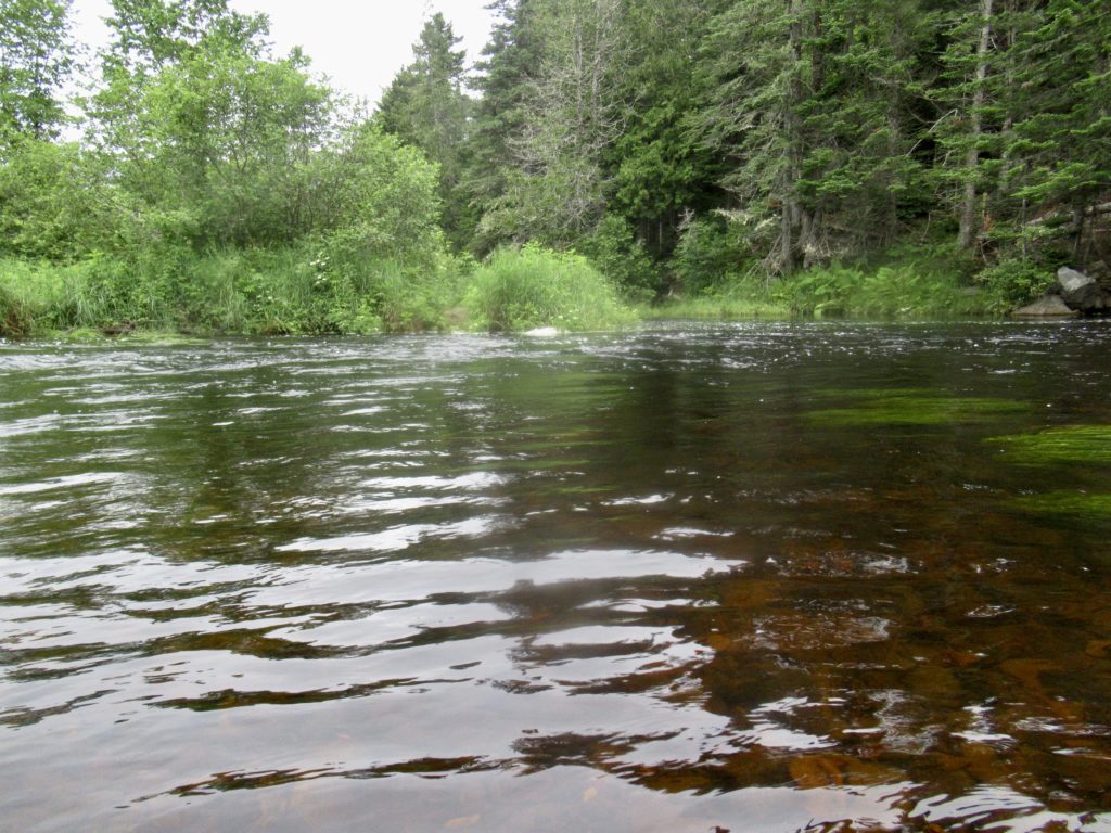
I decided to hike between 9 and 12 miles today, depending on how I felt after crossing Pleasant Pond Mountain. First, I had one more deep water crossing—Moxie Pond Inlet. I’ve been across this twice and both times was able to rock hop, so I had no idea how deep this area actually was. It was also about waist deep on me, but not as fast as West Branch Piscataquis. The hardest part was stepping over and around the huge, slick boulders that I couldn’t see. I actually passed 3 NOBO hikers in the middle of the crossing.
I caught up with Isn’t on the way up Pleasant Pond Mountain. When Curt got into camp last night, he said he was going to start calling me “Is” since I go by Curtis (in the outside world). He goes by Curt, so he’ll be “Isn’t.”
We walked together about 2/3 of the way up until the rain started. At first, it was just a drizzle, so I was happy with just my hat to keep the rain off of my glasses. After about 20 minutes, it started raining a lot harder. I was getting soaked and cold, so I decided to get out my umbrella. This is when Isn’t pulled ahead. For a good 1/2 hour, it poured hard then stopped. I put away my umbrella. This was a sign to the rain gods to switch things up. They tried a medium rain. It was now only about 60 and I started getting cold because I was already soaked. I pulled out my raincoat which stayed on me the rest of the day.
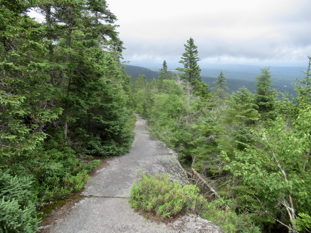
The tops of the mountains in Maine tend to be balds or exposed rock for long distances. Pleasant Pond was no exception. People often ask me if I’m afraid of bears—no. Rattlesnakes—no. Moose—no. What are you afraid of? Falling! When people 60 or older fall and end up in the hospital, there’s a 30% chance they’re not coming out alive. I’d rather die on an impaled index finger than die in the hospital. My pace slowed down to under 1 mph.
I didn’t make it to the lean-to until 3:15. White Wolf, an Austrian hiker I’d met earlier, told me Isn’t had left about 30 minutes ago. I stopped for a late snack but started shivering after a bit. I decided I had to either set up camp or get hiking again. I opted to hike another 3 miles before setting up camp so I could have a short NERO into Caratunk tomorrow.
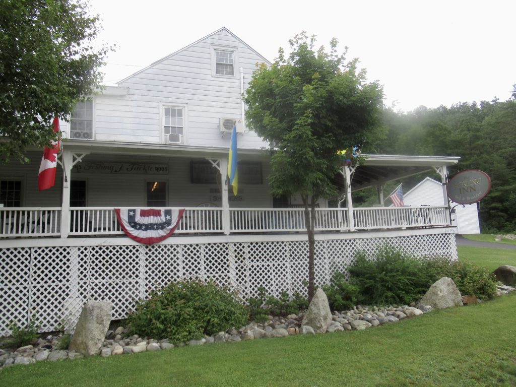
Day 4, Sterling Inn, Caratunk, 2.7
When I chose my campsite last night, I had 2 choices: a beautiful flat spot further in the woods, or an ok site close to the trail. I was too tired to walk the extra 25’ since it was about to start raining. Best move of my trip to date.
It rained all night long. When I got to town, I was told we had gotten 2” last night. I stayed dry and slept like a baby (man, did I miss the diapers both times I had to get up). This morning, the better camping spot was filled with 3” of water. I missed the rock chute behind it that turned into a waterfall over night.
I was hiking before 7! That’s right, I’ve started hiking at least 6 times before 7 this year and only 3 times after 8. Something or someone must have been holding me back all these years. I’m still getting my cup of coffee every morning—could I be becoming a morning person?
All the streams, creeks, brooks, and trails were flowing steady this morning. I used my last pair of dry socks to start the day, but not even 20’ from my campsite it was impossible to not walk in water. I covered the 2.7 miles in less than 1:25. I passed more than 6 NOBOs that had already been dropped off by the Sterling shuttle. I got to the road at 8:13.
I tried hitching, but don’t have fat in the right places and too much facial hair. I figured the next shuttle would be at 9. Since there wasn’t cell signal, my best bet is to walk the 1.4 miles. I walked up in front of the Sterling Inn just as the shuttle pulled out heading to Caratunk.
EFG