After my late night, it was slow going early on. I heard movement outside my tent so I assumed it was George trying to get me up. I’d left my phone locked in the truck so I had no idea what time it was. I packed up what I could then went to the truck.
George was still asleep. I tried to unzip his truck tent to grab his keys. “If you want kicked in your face, keep unzipping.” I’ve known George for 47 years and did not know he was an unpleasant person upon waking.
He unlocked the truck and I started carrying my gear to the shelter. It was only 6:45. These 4a sunrises need to stop.
I got everything organized, did one last shakedown, cooked breakfast and performed other morning routines all in time to leave the campsite by 8. George dropped me off at Katahdin Stream Campground right at 9. He’s on his way to Acadia and I’m starting to hike for real.
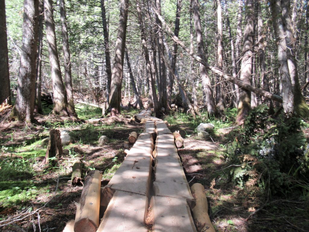
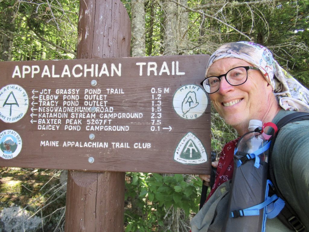
Walking was so much more pleasant today. I needed an easy day after yesterday’s climb. I signed in at 9:15 and saw a couple names I already recognized. I just started walking at an easy pace. After a couple miles I stopped at Daicey Pond parking area where there was enough breeze to keep the bugs off me while I had a snack.
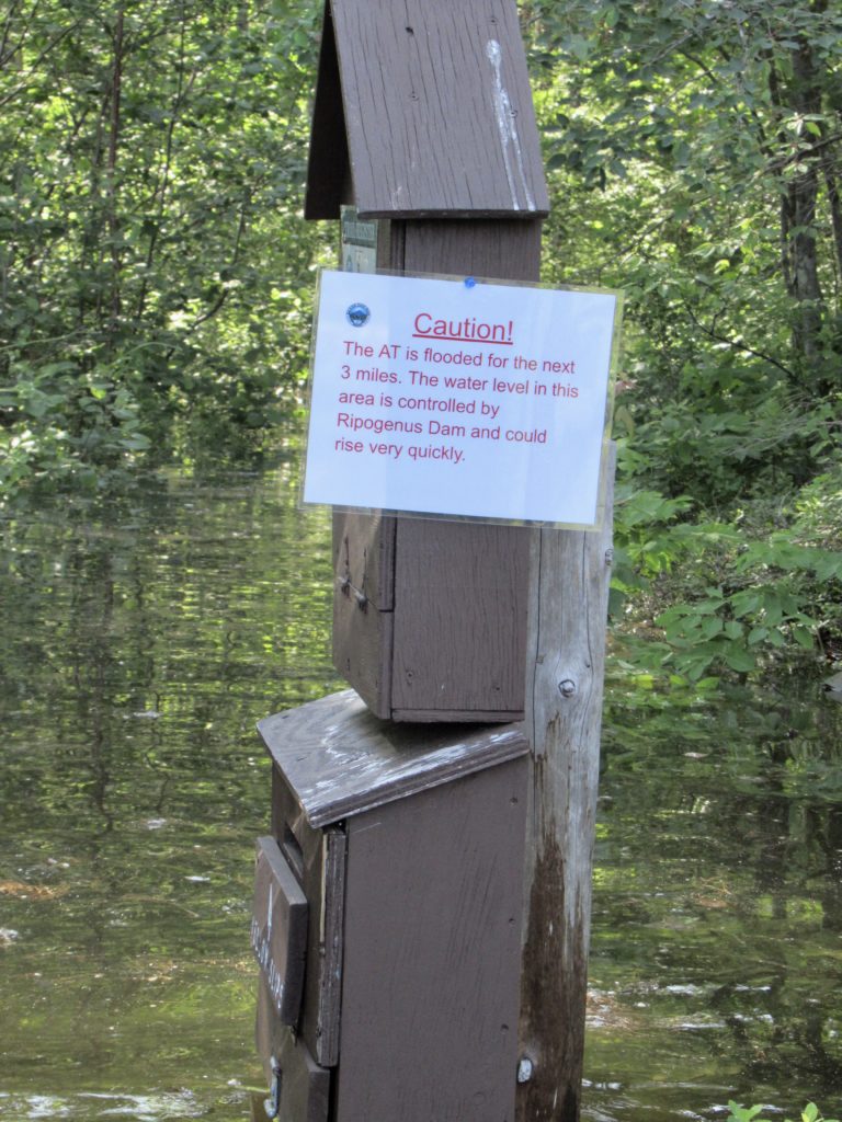
I saw a trail register when I started hiking again so I thought I’d check. There was a handwritten note that the AT was flooded for a mile and a half just before exiting the park and that the waters were up to chest deep. It wasn’t dated, so I assumed this was from earlier in the week and kept hiking
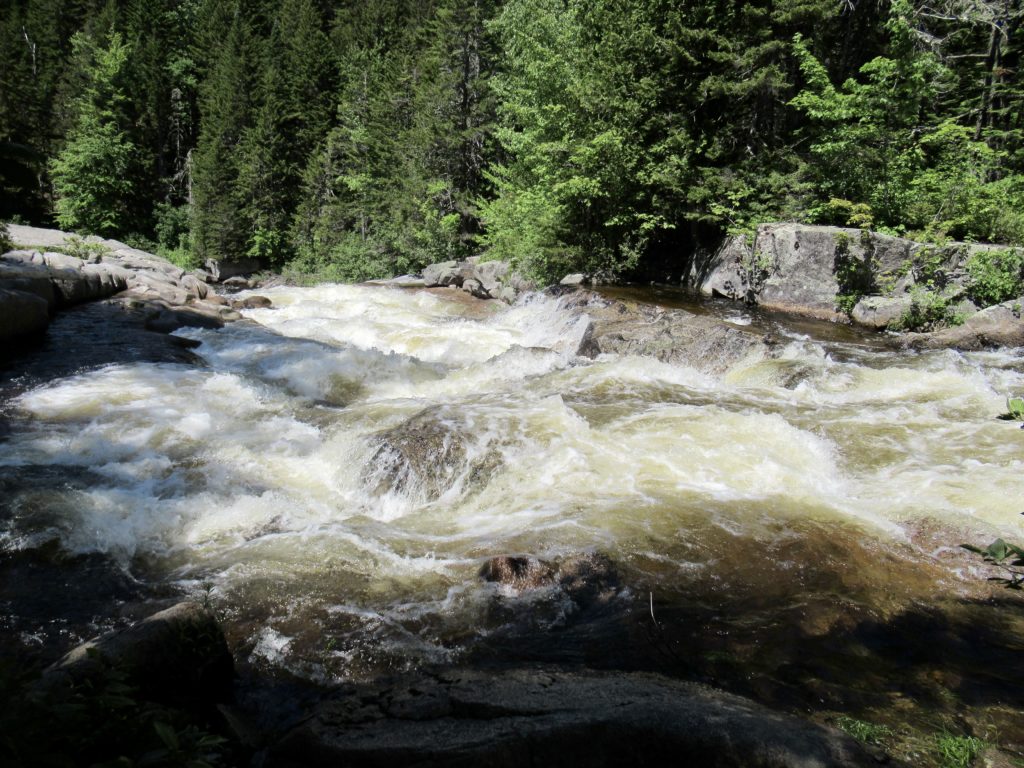
I noticed the Neswadnehunk Stream I was walking beside was flowing pretty strong. In fact, George and I had both commented on the drive out that it was stronger than yesterday. I assumed any snow left up in the mountain must have melted in yesterday’s heat which caused the increase. I stopped at Little Niagara Falls and was impressed with the ferocity of the flow.
About 5 miles in (I was only planning on hiking 10 today so things were looking good) I stopped to filter water and have a snack at the crossing where I had broken my hiking pole in 2018. I considered blue blazing here and skipping 2 crossings, but purist Easy reared his head when another hiker passed me on the crossing. It’s too early to get into bad habits.
I was cruising. I was 6 miles in before noon. I was considering skipping Abol Bridge and heading to the next shelter 4 miles further. I did think it was strange that I had only seen one hiker all morning, but, maybe I was just hiking fast enough people couldn’t catch me. A half mile later that thought evaporated.
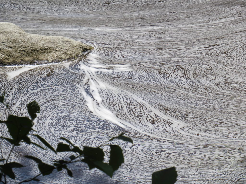
The West Branch of the Penobscot River was running high and I finally caught up to where it overflowed its banks and flooded a side gully. It was flowing fairly strong into the gully so I figured it was forming an island around the trail in front of me. It looked deep and way out of my comfort zone being alone. I panicked a bit when I couldn’t find evidence of a trail leading around this obstacle. I decided to sit and wait to see if anyone showed up.
About 15 minutes later, the couple I had asked to send the ranger to George yesterday showed up. They sat and studied it for a minute while I tried to show them maps above with possible routes around. They decided to ford the crossing while I chose to head for higher ground. I watched him cross carrying the pack above his head with the water chest deep on him. He came back and carried his wife’s pack and she swam across. I wished them luck and started bushwhacking.
I found what appeared to be an old roadbed about 20’ higher than the river. It was overgrown but I could handle it. I was making decent time and had covered about 3/4 of a mile when I ran into a swamp. This swamp opened into a pond if I went away from the river but seemed to get shallower if I headed toward the river. I ran into the couple again just as they crossed this inlet. I let them talk me across. It was only about waist deep on me. With the heat, it was actually refreshing.
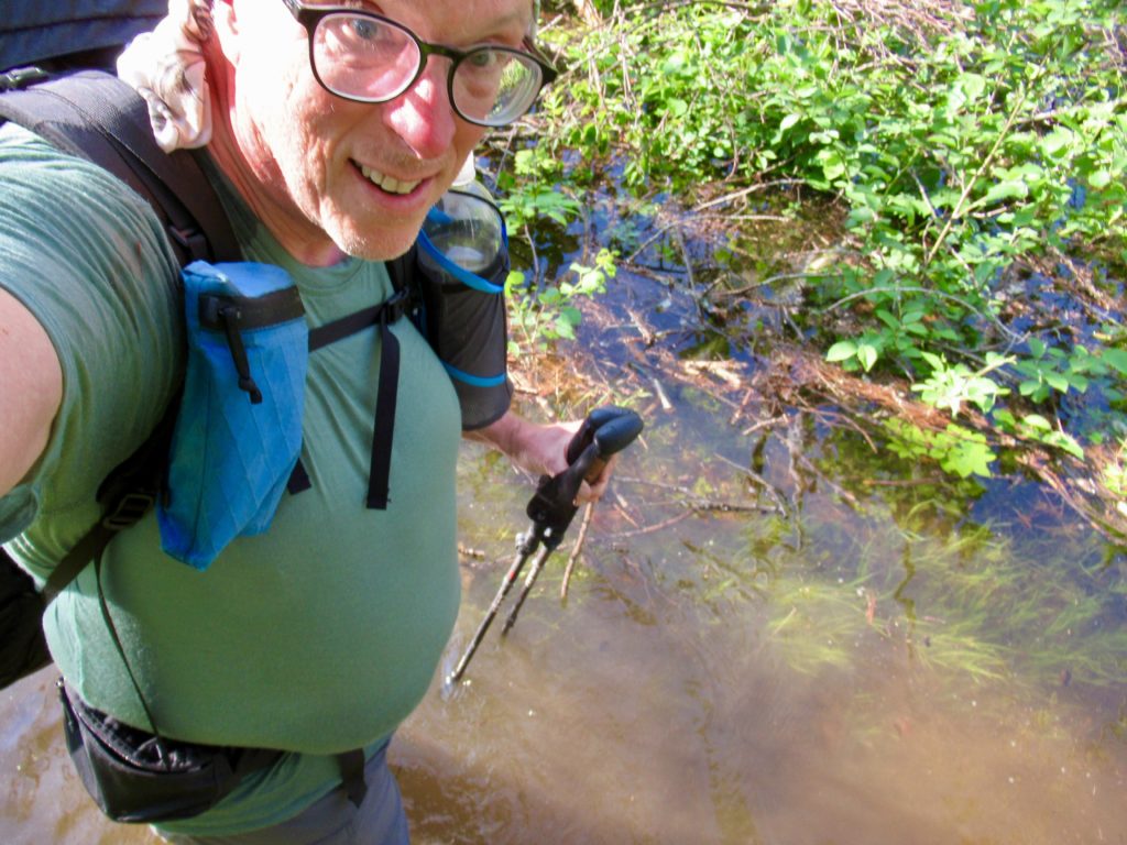
I threw my fate in with them. He was strong, fearless, and massive—6’4”. She was fearless as well but only a bit over 5’. I asked about any other crossings they had come to. One was worse than I had witnessed and one was similar to what we had just gone through. He was confident and I felt comfortable with them.
We came to another crossing that was wider than anything we had seen so far and obviously deeper. We all took our packs off and stuffed everything inside. Cheers went first to find the path. He dropped his pack on the other side and came back to get his wife’s. He had to carry the packs over his head to keep them dry. She swam behind him while I followed her with my pack overhead. It was shoulder deep on me.
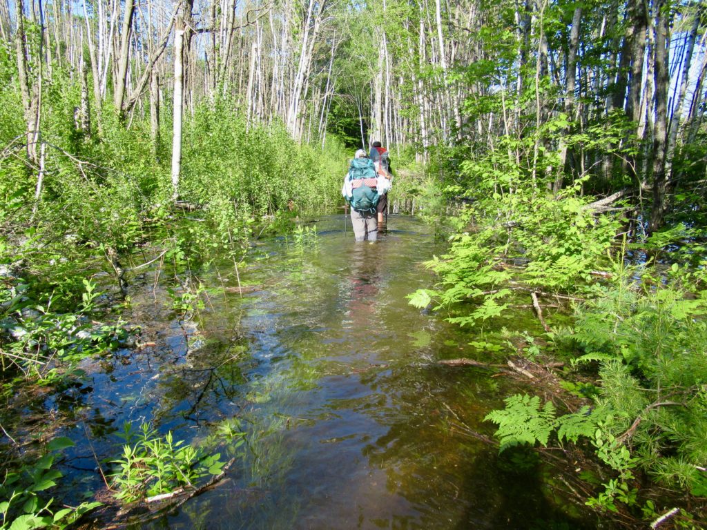
My confidence and comfort were both increasing. We crossed a couple more times where the water was only waist deep then we came to another longer deep one. Cheers went first as always. It was neck deep on him. When his wife fallowed swimming I entered with my pack overhead. I slid in and almost fell with my pack overhead but stabilized just before falling. I followed behind her swimming. The water got to be nose deep on me on this one, but I made it without panicking (barely). I hoped we were getting near the end. We weren’t.
We came to a crossing so wide that Cheers disappeared for several minutes out of our sight. We didn’t hear splashing so we assumed he was ok. I don’t think alligators have made it to Maine. After a couple more minutes he showed back up still carrying his pack overhead. It was too wide and too deep for him. We had to turn around and find an alternative.
About a quarter mile back we had passed a cabin that used to be on the river bank but was now on an island. Cheers had seen a road leading to it. We followed the road which should lead us to the trail I was trying to bushwhack towards earlier. The road did, in fact, lead to the Foss and Knowlton trail which would intersect the AT again just before it exits the park. It was a quick mile of dry hiking.
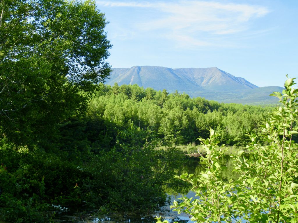
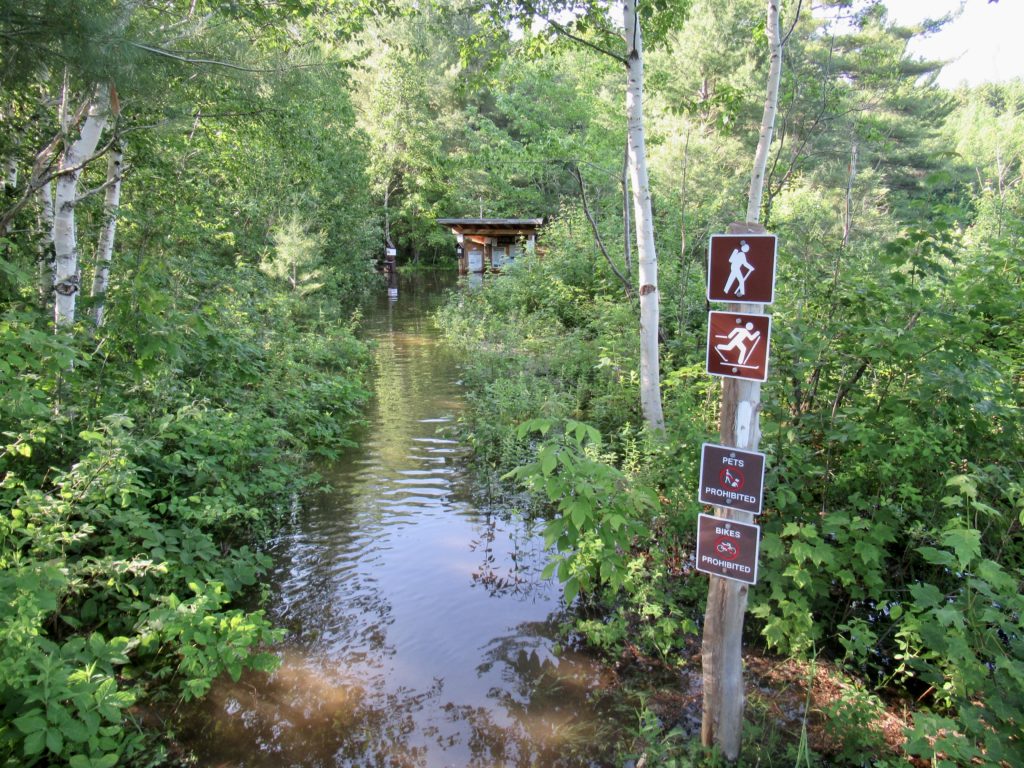
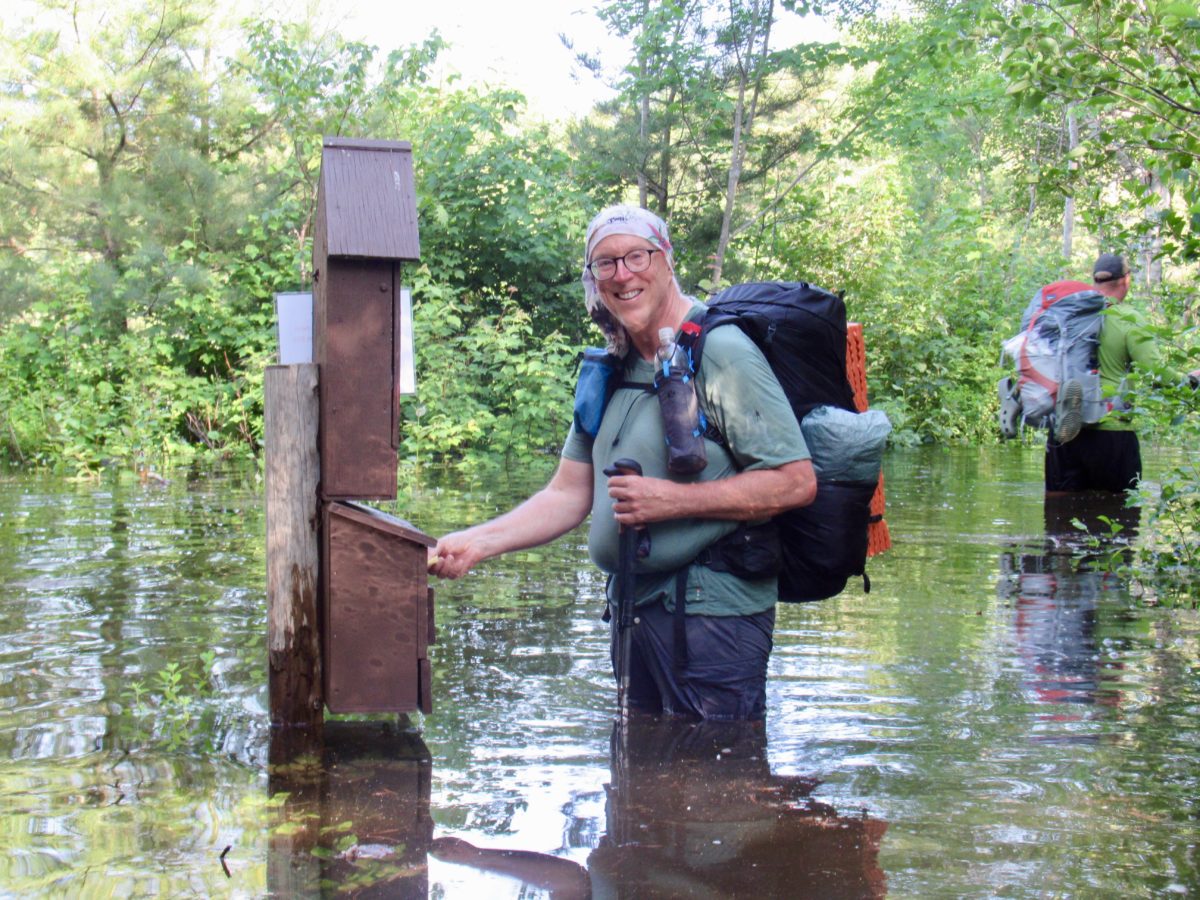
When our dry trail intersected with the AT, it was no longer a dry trail. It was still a quarter mile from the kiosk where we had to drop our permits off, but it was a manageable mid thigh deep. Behold personal growth before your very eyes. I was happy that I could walk in water that was not so deep that I had to carry my pack overhead.
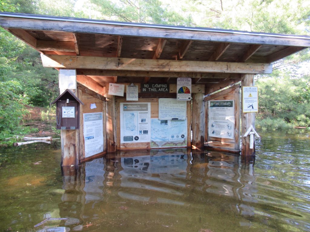
As we looked back leaving the park, we noticed a “trail closed due to flooding” sign. It would have been nice for one to have been placed at the other end with some alternatives.
From the kiosk, it’s only a mile to Abol Bridge Campground. I was definitely stopping here for the night. I asked about bunks or camping. Zach (the owner) told me no camping was available. I assumed it was because everyone beat us to it and he told me that it was because it was all under water. Bunk it is.
EFG
EFG contact Mizman