
It was past 10:30 by the time we crawled into our tents. We were all exhausted from the beers, the long day, the late start, and getting lost. This was one of those rare nights for me–I didn’t get up once to pee (and this is with us sleeping right next to a stream!).
We woke up (at least Pam and I did) to locals walking their dogs through the woods on their way down to the ocean below our campsite. No one seemed too surprised to see us there. We talked to a few people and they admitted that “wild camping” didn’t appeal to them.
In the interest of saving time, we agreed to skip cooking this morning and to just head into Tenby for breakfast. Karen wasn’t to keen on the idea of skipping her morning coffee so she dug out her jet boil only to discover that her soap had spilled inside of it and she didn’t have enough water to wash the pot and have coffee. The coffee clock was ticking.
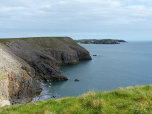
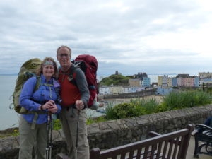
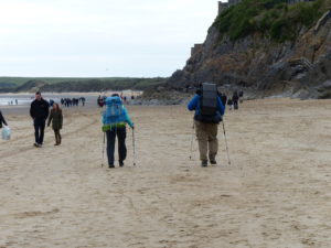
The terrain between Saundersfoot and Tenby has a lot of ups and downs packed into a 4 mile section of coast. This is just like the Grand Canyon; every view is spectacular. When you are walking along a cliff top, you can’t see the formations below you until you are past and look back.
Just before Tenby there is a public garden called “Allen’s View” which is on a point with vistas of Saundersfoot behind us and Tenby in front. Allen had good taste in sitting places.
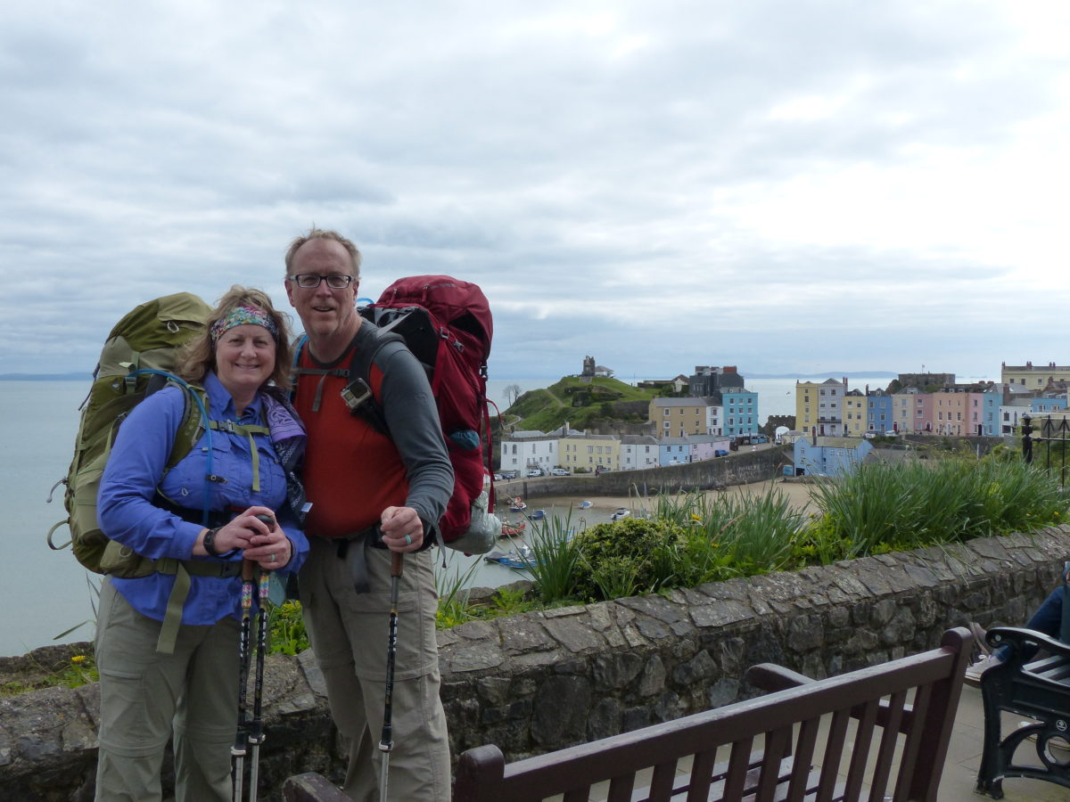
Once we got in town, we asked people for suggestions for a breakfast/lunch spot. The guidebooks give travel distances in time and so far we are proving them wrong by a factor of 2 at least. If the book says 1 hour, it will take us at least 2. We got a traditional breakfast of eggs, sausage, bacon (ham strips in my opinion), grilled tomato, and toast–I graciously shared my egg with Pam and got nothing in return (I’m a very giving guy).
After breakfast followed by a porcelain visit, we headed to the local church and cemetery to get a feel for the age of the local. George spied a pharmacy on the way so he popped in for a few hits of pain killer (I think he misses the Opium Shop in Bath–isn’t retirement freeing?).
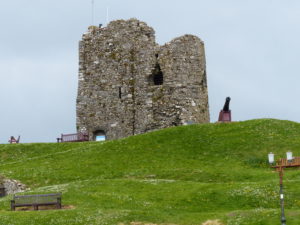
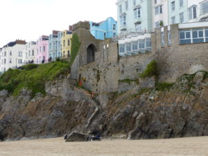
Then on to Tenby Castle for some amazing views of the town. We could see St. Catherine’s island and it was low tide, so we could walk out and have a look. When we got there, we discovered an admission requirement and rediscovered our tightness concerning money. We opted to walk around the island and be amazed by the caves under the old fort.
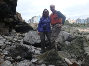
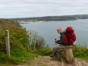
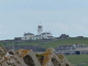
After one more coffee for the road, we enjoyed a couple mile beach walk to Penally. There is a military firing range there and they fly red flags if its active. No flags, so we opted to walk down range. We were hoping for safe passage since it’s a holiday week with little kids around. There was a point where we could see a couple islands off the coast. One of which was Caldey Island which still supports a small Belgium monastery that supports itself by selling perfume.
After the firing range, it was an easy walk all downhill (except for when we went uphill) to Lydstep. This is where we were planning on spending the night and renting a camping spot. We made our way into the restaurant at Lydstep Beach Village caravan park–DO NOT waste your time with this place! They refused to serve us any food because we weren’t residents. I was pissed! (Amazing, I know. I’m generally so even tempered.). When we got outside, an older woman apologized to us for the way we were treated. She said she owns a spot there and she has seen the tavern refuse to even give a glass of water to passing hikers.
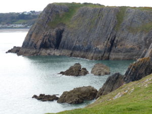
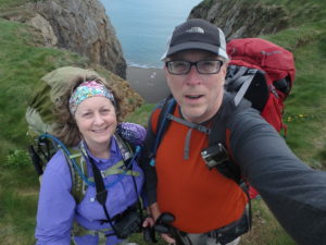
We ended up hiking about 3/4 mile into Lydstep proper and eating at the pub. We also enquired about places to camp and the pub owner recommended hiking out to Skrinkle Haven to wild camp. After our curries and beer, we headed that way for a spectacular, level spot on the cliffs above the ocean.
That is BEAUTIFUL! Someplace I always wanted to go! Love it!
Really enjoy your entries. I feel like I can see it!