After the Coastal Path–Bath and London

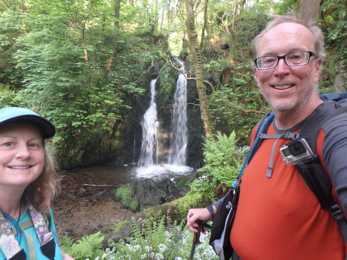
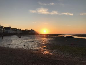
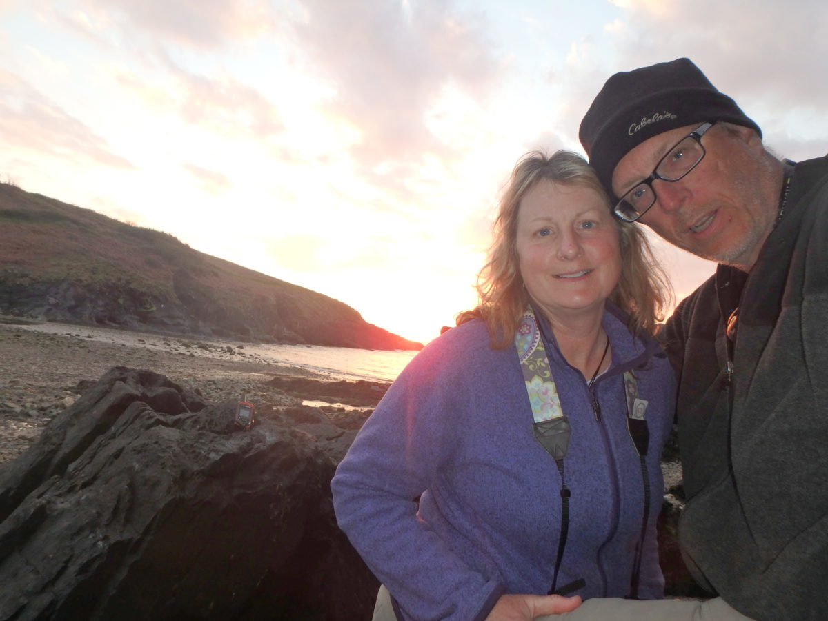
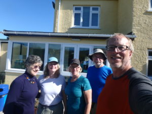
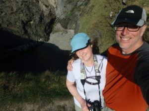
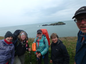
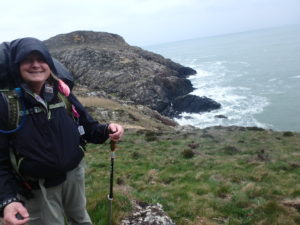
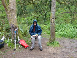
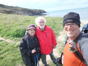
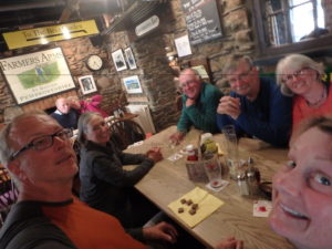
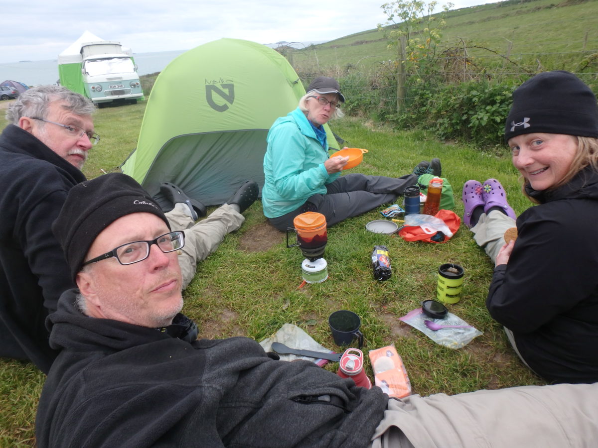
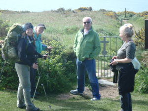
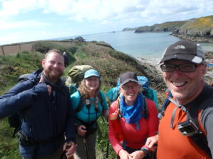
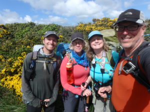
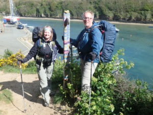
After the fun part is over, there’s still the work that has to be done. Some might say that this would be a great time to get all caught up on blogging, but I have a very demanding boss that runs a tight ship. This is everyone’s first trip to England, so we had a few sights to see first.

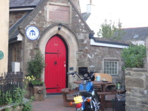
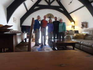
Thursday, May 4 was mainly a travel/get settled in day. We caught the train back to Bath and then we had to find a place to stay. Since we were already familiar with the hostel from a few weeks ago, we headed there. They could get us in two nights. If we can get a tour to Stonehenge on Friday, that will work out great.

After lunch, we found a free walking tour of historical sites in the old town. The price was right so we were in. The tour started at the Roman Baths discussing where the hot waters come from. Bath is basically a limestone bowl. Rain water from the surrounding hills filters underground. It takes over 10,000 years for the water to filter down to where the pressure from the weight of all the stone heats it and forces it back up through fissures in the rock to the surface. There has been people living in the area of the city for almost 3000 years. The Romans were the ones who preferred bathing over mud, so they built the original baths.

Bath didn’t really come to prominence as a health destination until the 15th century which was when the building boom in the city took place. Some royals thought that the Baths had medicinal value so that was all it took. Everyone wanted a piece of the action. It became a destination for the rich and famous. The actual prominence of Bath only lasted for about 150 years, but they provided plenty of opportunity to generate money.

We weren’t able to get the tour to Stonehenge until Saturday, so we had to find a location to stay Saturday night. Saturday morning, we would have to move to the YMCA. We were living the Village People dream.

Enjoying a non-pub meal back in Bath

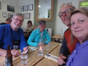
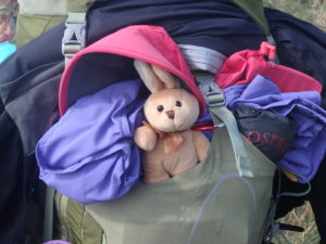
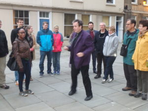
Friday was a lazy day of laundry, eating, getting our stored luggage back, and eating ice cream. We also found another walking tour of Bath that offered absolutely no history or facts about the city. It was over 2 hours of comedy in the streets that almost ended in tragedy. At one point, he tied a stuffed rabbit up in chains, stuffed it in a mail sack with weights, and threw it in the river–Pam hyperventilated. Fortunately, the rabbit escaped and Pam didn’t have to be rushed to the hospital.

Bizarre Comedy Walking Tour of Bath–a great evening

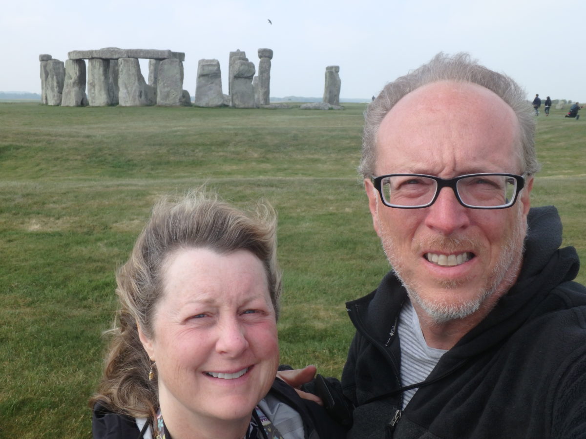
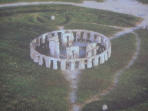
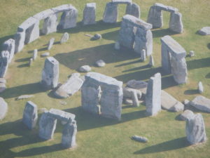
Saturday was an all day tour starting at Stonehenge. It really is an amazing pile of rocks. It has become a major tourist destination handling over 2 million visitors every year. To protect the site, you can no longer get too close to the stones but you still get close enough to be amazed at the engineering work that occurred here BEFORE the pyramids were built.

Stonehenge complete when Pam was born
Stonehenge now–the years have been rough on both

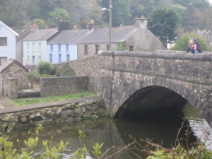
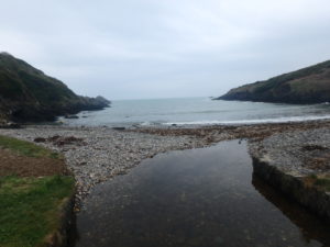
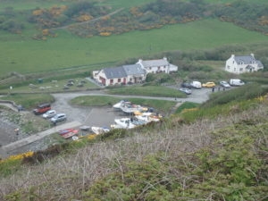
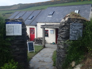
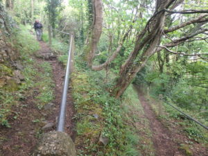
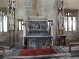
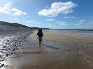
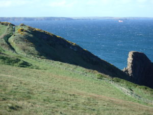
We also visited some charming villages in the area to see how a lucky few still get to live. Visiting Castle Combs is like being dropped back in time a couple of centuries. It’s a charming village of stone houses, thatched roofs, all built around a tranquil stream.

Rough living in England

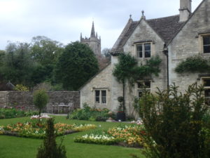
We also got to see the location where Lady Edith looses her daughter at the fair from Downton Abbey, as well as a few Harry Potter sets, all in the town of Lacock.

A dog powered rotisserie

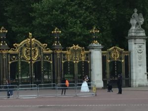
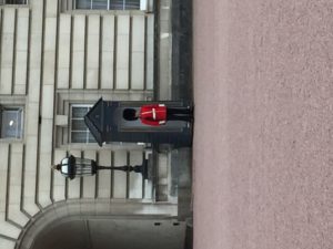
Sunday was a travel day to London where we eventually got settled in at a YHA Hostel for the ridiculously low price of 130 pounds for two nights within walking distance of Buckingham Palace. We had a private room and our own bath for 17 pounds per person per night. Hostels are real bargains and not just for poor college kids–they work well for unemployed homeless people as well.

YHA rules

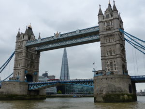
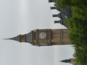
While everyone else took a boat ride up the Thames River, I stayed behind to get the blog all caught up (it’s a huge task, which is why I’m just now posting this almost 3 weeks later). Finding wifi in London is not an easy task. They had a great time seeing lots of amazing places while I slaved away.

Her Majesty’s London pad
Some stone drunk bloke out front–he must have been blind drunk, he didn’t move an inch all day
Tower Bridge
Big clock in London
Cutty Sark (the inspiration for a whiskey)
Some egg shaped building on the river
The “Eye of London”–a secret NSA video monitoring system
Westminster Abbey
Westminster Cathederal
Pam’s all over the world at once–standing in both hemispheres in Greenwich

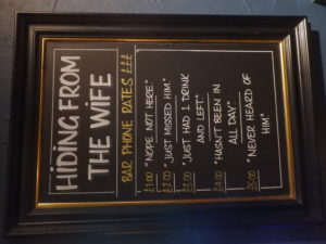
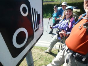
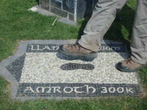
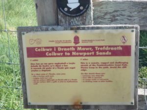
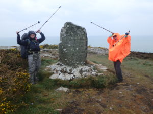
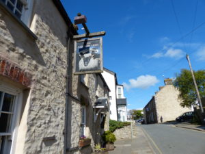
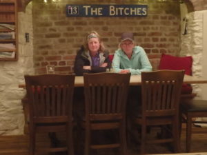
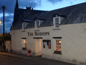
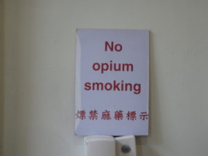
I’m also including several signs which display the British humor I like so much. It’s about time I put the Pembroke to rest so I can start some entries on our next trip–the Camino de Santiago.

Day 22–Wednesday, May 3. Ceibwr Bay to St Dogmaels (7 miles)

It was inevitable–we have to finish the trail and move on. Surprisingly, Pam and I slept well and woke up happy and refreshed. Not so surprisingly, George didn’t. When I stuck my head out of the tent to see if anyone was awake, George was sitting beside his pack all ready to go. His battery ran out on his CPAP and he couldn’t sleep.

I have finally found the way to make Pam smile in the morning–camera in hand as soon as she wakes up

We had Soreen for breakfast–the squiggly loaf that’s fun to eat. It’s really not as bad as their labeling makes it out to be. We only had 7 miles left on the trail and 2 of us were ready for it to be over. Only Pam and I were raring to go more.

One more look at that coast

We only had one big climb this morning. The bad news is that it lasted for about 3 miles. We climbed to our highest point at the head of the bay leading into St Dogmaels. There were some great signs indicating which way we should go to die.

Turn left to die; follow the trail to the left

When we rounded the point, there was supposed to be a car park (according to the map in our book) but it wasn’t on George’s iPhone, so we blew on by keeping the party in “ready to explode” readiness. I practically ran the last 2 miles into cafe near Poppit Sands to get to some porcelain. I’ve made it 21 days without digging a hole and I wasn’t going to start today.

The last gate on the trail (or first if you are heading south)

After a late lunch and ice cream at the cafe, we started the final 2 mile road walk into town. It was really kind of a disappointing finish to the trail. After a spectacular route almost continuously on the coast, we end with a road walk where we cant even see the water. To top it off, the band that was scheduled to play when we crossed the finish line didn’t even show–they must have gotten the dates confused.

Our packs also enjoying a feast at the cafe
Pam comes by the ice cream addiction via her dad

At 15:43:17 on 22-May-2017 we completed the Pembrokeshire Coastal Path.  An incredible 1:46:43 ahead of schedule.  Pam and George didn’t use all of the whine cushion provided.

A photo-finish at the St Dogmaels line

Arriving at the park where the north terminus is, we met some couples from Liverpool who took our pictures documenting this historic event. To make sure they get their due in history, we also took their pictures (but forgot their names in our euphoria).

The soon to be world famous photographer of the big event–unfortunately, we forgot her name (so close to fame)
So so close
The last trail step
OUr homage to 573 who might do an article on us this summer
Pick the real mermaid

Having hiked nearly 200 miles, camping the majority of nights, we had one last task before our trail can considered complete–we headed to a pub for a celebratory pint. We bored Sammie at the Ferry Inn with our exploits. She gladly looked up the bus schedule for us to get us the hell out of the pub before the regulars showed up.

First things first–job well done
Can this be considered a return to civilization if we’ve been to pubs almost every day? Thanks Sammie

Two buses later, we were back in Fishguard where we had been just 3 days ago. We tried to stay at the same hotel we did before, but they were completely booked (some heroes welcome). We headed to a hostel and accidentally walked into the wrong one and found Steve sitting upstairs in his home watching TV.

John Hamilton Hostel in Fishguard

Steve used to own the hostel next door but has since sold it. He bought an old school house and remodeled it into a vacation home rental. Tonight, he had no plans and no guests, so he welcomed us in to the John Hamilton Hostel. It’s a lovely 4 bedroom home (all 4 rooms en suite). He allowed us to do laundry and made us feel completely welcome. This house is an amazing treasure filled with artwork and history. A further coincidence is that his father wrote guidebooks and we actually had seen one of his books for the Pembrokeshire Coastal Path. He gave us a copy of his dad’s book.

Thanks to Steve and his amazing house

We went out to The Royal Oaks Inn for supper and met another Kylie behind the bar. George asked if that was a common name because she was the second Kylie we’d met. She said it wasn’t and that the other Kylie was soon to be her sister-in-law. We’ve only been in town 2 days and we’re tied into the local network.

Kylie’s soon to be sister-in-law, Kylie

Paying the bill and leaving, we recognized another couple from the trail. They were from Cambridge. Somehow, we got to talking about politics and economics (it must have been Pam because I usually avoid such hot topics). Bottom line is that real estate prices have so ballooned in their area that their children can’t afford to move out and they have great jobs. They were doing the coastal path to have some time alone. We all agreed this is an amazing trail and a hidden gem.

Another trail couple we met at the Royal Oaks

Day 20–Monday, May 1. Fishguard to Parrog (10 miles)

We got up for breakfast by 8:00. Since we had the hotel room until 11 and the weather still was overcast with a mean rain look looming, there was no hurry to get out. Also, the trail is almost over, so what’s the rush. We’ve only got about 25 miles left and runners were finishing up on one day what we had given ourselves 4 days to do. We decided to run down to the Tesco to get some food and snacks to last us the last 2 nights of camping we were planning.

Mariner’s Walk above Fishguard Bay–Pam already taking a break to enjoy the view

Who had George falling on day 20 in the pool? NO ONE! Even his daughters had him falling BEFORE we got to Wales (Jill had him falling in the airport boarding the plane and Jennifer had him falling in London). I was most optimistic for him and I had him going down on day 2 of hiking. No body had day 20 which is when he finally went down (and I didn’t have my camera). In his defense, he tried to use the excuse that it shouldn’t count since we weren’t on the trail and he wasn’t carrying a pack–BS. Butt on deck entering hotel is a fall.

One last look at Fishguard

He didn’t want to count the fall as official, but he was able to use it as an excuse that he wasn’t recovered enough to hike out with us today. Instead, he’ll get a ride out to the Old Sailor Inn Pub at Pwllgwaelod and meet us for lunch. After lunch, he and Karen will take the short cut to avoid the climb and walk around Dinas Head (saving about 3 miles) and then go get a campsite in Newport while Pam and I hike out to Dinas Head.

Lower Fishguard Harbor

This was a beautiful day hiking after yesterday’s rain. There is a nice paved walk from Fishguard to Lower Fishguard called the Mariner’s Walk. Lower Fishguard is another harbor off of the main harbor and this is the cutest town we have seen to date. I wanted to have a cup of tea on the harbor, but the tea shop is closed on Mondays. Instead, we took our time walking through town and exploring the fort above it on the opposite point (a common theme today–Pam and Karen were SLOW!).

Bridge into Lower Fishguard

It was only 2 miles out to a Caravan Park/Vacation Rental Village right on the cliffs above Fishguard Bay. When we climbed the cliff, we come out on one of the porches of the vacation homes. This was another all inclusive resort but staffed with the friendliest people we have met (not like resort at Lydstep Haven–DO NOT GO THERE). Bernard is the customer relations manager and Vickie is the park office manager. They made us coffees and talked to us for quite a long time. Bernard is part Venezuelan but absolutely loves Wales. I had to get him to stop talking about some of the things he does in the house because Pam was getting the wrong idea of extra things I should be doing.


Our first view of the vacation community climbing up the cliff
Community Office with restaurant, bathrooms, shop, library, and game room–very nice all inclusive location
Bernard and Vickie

I reminded the “girls” we needed to get a move on. No matter what, they just would not pick up the pace. I kept reminding them pubs quit serving at 3 and it was already after noon with 3 more miles looming. Admittedly, the coast was beautiful and it was a perfect day for hiking–sunny skies and 60s. I finally got tired of walking ahead and waiting 10 minutes for them to catch up so I just took off to go meet George.

Yes, there are beautiful views along the way, but we’ve got to keep moving!
This is where we are supposed to meet George

I didn’t get to the pub until 3:10. George was a little worried because he thought we would be there by 1. My only answer was “women”. At the last minute, he tried to order 2 hamburgers and a soup, but they only had one hamburger. He got two soups and one hamburger and I was first in so I wasn’t settling for soup. They finally showed up at 3:40 but didn’t come inside. They had ran into our Canadian friends (Judy and Myrna) and were out talking to them.

Old Sailor Inn

Uncertain of where the shortcut avoiding Dinas Head started, George and Karen walked a couple hundred feet uphill with us before deciding it was right behind the pub (like the paper map shows, but it wasn’t like that on their iPhones). We thought it was nice to walk the extra 1/4 mile with us.

Bunny needed a sun hat today

The climb to Dinas Head is almost 500′. We noticed a guy walking behind us the entire way up, but he never caught up with us. It wasn’t until we got to the top that he finally did. Chris has a bad knee which caused him to walk slow, but his slow was our normal speed. We spent the next 2 hours walking down the opposite ridge from Dinas Head. He told us a lot of history of the area as well as identifying birds and flowers for us.

Chris with us at Dinas Head

He walked with us all the way down to the church ruins at Cwm-yr-Eglwys and told us the story of the sailor being saved by the mermaid (and, hence, the statue at the end of the trail in St Dogmaels). A fisherman caught a mermaid in his net. She begged and begged him to let her go but he wouldn’t. She finally promised him that she would one day save his life if he let her go. At last, he agreed. Years later, he was fishing on a calm day and the mermaid came to his boat and told him to get out of the ocean NOW. He said it was a beautiful, calm day and the fishing was good. She reminded him of her promise and told them she was saving his life. He got back to shore. The storm that hit was so terrible and violent that everyone at sea died and it washed away so much shore that three sides of the church we were standing at got destroyed as well. Only one wall of the church is still standing to this day.

The one wall of the church that didn’t fall into the ocean

Chris left us saying that he told his wife he was going for a short walk and that was several hours ago–he was probably in trouble by now. He told us one last thing to do–two coves over, in the direction we are headed, take a side trail inland to see a waterfall. When we got there, we were tired and running late, but we trusted what Chris told us. We went inland and the valley was beautiful (and filled with wild garlic). We found the waterfall and were amazed. We’d had a great afternoon with Chris.

Garlic–we’ve got recipes for the days ahead just in case


This waterfall has been used in advertisements in Great Britain

It was getting close to 6 by now and we still had another 3 miles to go. Pam was starting to hurt and I was getting tired as well. George sent us a text that they found a campground and all we had to do was take the road next to the yellow house into the campground. When we got to Parrog, every freakin’ house was yellow and had roads beside them. After 2 different yellow house/road combinations, we stopped a couple and they gave us directions to 3 different campgrounds they knew of.

Very helpful couple that told us where all the campgrounds were

We walked back out to the beach and were able to see George and Karen watching the sunset about 1/2 mile further on. We finally caught up to them and they took us by THE yellow house they meant. We set up our tent and just threw our stuff in because it was after 8. Pubs stop serving dinner at 9.

Sunset at Newport Beach (photo credit George Aufmuth)

We had a half mile to walk on sore feet to make it up to the Royal Oak Inn for supper. I ordered a Cwrw and pronounced it correctly which was my ticket to be accepted by the Welsh men sitting at the bar. I finally got a nice hot curry that made me sweat so I was happy. We got our picture with Susie who was closing up. We were the last ones out. Unfortunately, we still had that half mile walk back to the campground.

Great meal and great service with Susie
Pam hobbling out of Royal Oak Bar–Alcohol or sore feet?

Day 21–Tuesday, May 2. Parrog to Ceibwr Bay (8.5 miles)

We got up hoping to get breakfast in the cafe adjacent to the camp ground, but they weren’t open. Instead, we had breakfast on the tables out back while we packed up. The owner, Christine Watts, stopped by and chatted for a while. She is a lovely woman who is running the place with her son. Her husband suddenly died a few years ago and she was devastated by the lack of warning. She has recently started traveling and enjoying life again. She’s been to Canada, the US mainland, Hawaii, and on some cruises.

Charming lady that ran the campground and cafe–Christine Watts
Protected spot in town

We had to cut about a mile inland to get over the river that runs through Newport Sands. It wasn’t a bad walk at all, but George’s feet were already hurting. We were hoping to find a little cafe before we left town because we were entering the longest section of trail without pubs every few miles–we were scared for our lives. Fortunately for Pam and I, we just recently watched the movie “Alive” about the soccer team that crash lands in the Andes, I was up on the history of the Donner Party, and I could identify garlic in the wild. If we hit a rough spot, I sure wouldn’t want to be in George’s shoes. When the herd gets culled, it’s the weakest that goes first. I know Pam and I were coming out alive on the other end of this section.

View back out to Newport Sands

By the time we made it all the way around the sands and past the golf course, we still hadn’t found a cafe. We struck up a conversation with the parking lot attendant and she told us the golf course club house will accept the public. We could drop out packs at her shack and she would ensure their safety while we made the mile round trip to the club house.

Looking back to Newport

Even with the “last meal” at the club house, I was still dragging. Obviously, I wasn’t taking in enough calories which didn’t bode well for George. To try to alleviate the situation, I would hike forward of the group about a mile at a time and then find a nice spot to take a nap until they caught up. This helped a little, but I just couldn’t recharge my batteries completely.

Evidence I tried to nap
Further evidence suggesting I may have succeeded

This is one of the most rugged areas of the coast with a lot of climbing down and up to the cliff tops. While we were playing leapfrog, we ran across a group of hikers heading southbound. Nick and Barbara are doing the entire trail through a series of day hikes and different friends are hiking with them each day. Today, they were hiking with Jan and Rich who have a bed and breakfast in London near the airport area. We plan on staying with them when we head back across the pond in December.

Nick, Barbara, Jan, and Rich
Typical of the coast in this section

After about 7 miles, I turned around to see a sign with the warning of rugged area for the next 6.5 miles with high risk of falling and no outside access available. It’s a good thing they didn’t post this at the other end or I would have had to take an extra 1/2 to talk Pam into it. We came to an area called the “Witches Cauldron”. We were tired and didn’t really want to investigate why. What caused us to look around was the desire to find an area large enough for our tents.

Death is always close by

There was a river flowing down the valley that dropped into a cave. We just assumed it fell into the ocean, but Karen said the water just disappeared. I didn’t know she was sneaking alcohol with her in her pack. I humored her and went to look. Sure enough, it fell into a cave and disappeared. We noticed an indent in the cliff above us and we went higher to look. It was a beach completely surrounded 360 by land. There are a series of caves feeding this hole (cauldron, if you will). We finally traced the sea water entering the cauldron through a series of caves which we were standing above. This is one of the most unique formations we have seen on this trip.

Looking down into Cauldron–I don’t know how to get a picture to show this amazing formation

As exciting as our discovery was, we were tired and wanted to just be done for the day. We headed on to the next cove in hopes of a camping spot. We found a beautiful area off of the road to Moylgrove but it was posted no camping. I had wanted to camp on the next beach, but George seemed dead-set against it. The rest of us dropped down to the rocks behind the beach and George just kept on climbing. We finally convinced him he was going to have to walk a couple more miles or camp behind the beach.  Tired George finally acquiesced.

A great spot if just a little on the rocky side

It was very rocky but had a beautiful view of the beach and the sunset. We couldn’t use tent stakes for the tents and had to use rocks on all the ties. George wasn’t happy, but at least we were stopped for the night in Ceibwr Bay.

Why would anyone pass up this spot to camp?

Day 19–Sunday, April 30. Pwll Deri to Fishguard (11 miles)

Chance of rain was very high for today, somewhat greater than 200%. Chance for George to be in bad mood if forced to hike was several magnitudes higher. There was a short discussion over breakfast about what we were going to do today: George was leaning toward catching a taxi to Fishguard while we walked the path into town.

Pam all dressed up ready for hurricane weather

We just went ahead and suited up for rain from the getgo. It was windy enough that the extra layer felt good even if it didn’t rain. I noticed George wasn’t suiting up so I guessed he was still planning on skipping forward to give his feet and body an extra day of rest. I thought back to a conversation we had the day before: “Two aspects of hiking, overcome you must, to enlightenment reach. Pain, accept you must. Mental strength, generate you must, to pain and adversity conquer. Only then, spiritual growth, receive you.” I was in a very Yoda state of mind.

Oh Wise One at Strumble Head

George responded: “But master, must there be pain?” Or maybe it was “What the hell are you talking about? Speak English. I’ve accepted that every other step is painful.” Jedi, young, he is not.

With George staying behind to find a ride into Fishguard, we headed out. A light mist started almost right away. The coast around this area is extremely rugged. We noticed a set of stairs cut into the side of the cliff that went all the way down to water level. I could only imagine a medieval landing in the middle of the night with a self-important man landing. We don’t know who carved the stairs or for what reason.

The stairs can be seen almost directly below the house

The path leads over Strumble Head (another high rock outcrop with great scrambles and views). From here, we could see the YHA we stayed at last night, the lighthouse further along the shore (that kept shining in my eyes the last two nights) and wild horses running in the area along the cliff tops.

Horse whisperer

Now that we knew they were actually wild horses, it was more interesting when they let us get close to them. Approaching the light house, we ran into two women just sitting on the cliffs watching the water intently. Jade and Natalie were just down to the coast for a few days and were seal watching. They seemed interested in our plans to hike so much but seemed very content to just walk out to an area and watch nature pass by them.

Jade and Natalie

The lighthouse was next. We couldn’t get out to the island it was on, but there was another WWII bunker not too far up the coast from it. We headed into it to get out of the rain and have a snack. There were a lot of people already in it watching the ocean. It wasn’t until after we left that Karen and Pam told me they were dolphin watching–I thought they were bird watching so I wasn’t paying attention. I guess they were both too distracted to let me know because they had to pee so bad. I was forced to stand guard while they defiled the east end of the bunker.

Which is more important? Ship safety or a good night’s rest for Curtis
She won’t let me post a picture of what they did to the bunker

Almost six miles in for the day, we headed inland to cross a small stream that was slowly eroding a valley in the coast. When we got in the woods, the area was filled with swings. If it hadn’t been so wet, we might have had more nerve to try out a few of them. As it was, I tried sitting on one to serve lunch to the two women (yes, I’m that kind of considerate guy) but I fell off the swing and landed in the mud. Did I get sympathy? No. Did I get thanks? No. Did I get sarcasm and laughs? I think most people understand the heartless women I hike with.

We all know Pam is slow with the camera

The rain was really coming down now after lunch. The trail was getting muddier with swampy areas developing along the trail. We came up to a long stretch of swamp with stepping stones placed for coordinated people to cross. Once again, I sprinted across to get my camera ready for Pam and Karen to cross. Once again, I was very disappointed that no one did a face splash (it’s only fair, they laughed when I allegedly fell out of the swing–no photo evidence exists).

An unusual wooded section of trail

History lesson time: In 1797, the French were feeling a little disappointed with themselves having helped America get on it’s feet and receiving little thanks. The revolution was over and there weren’t any good wars to keep them engaged, so a portion of the navy decided they needed a new mission. Let’s invade Wales! A short time ago, a boat had crashed along the shores where the French decided to begin their invasion. Unfortunately for the French, the cargo of the ship was rum and they found the cargo upon landing. The local Welsh women (who dressed rather manly if the pictures are accurate) were able to repel the drunken French naval expedition. We hiked to the site of the failed invasion. Pam and Karen reenacted the Welsh women repelling the French.

Mean women–run away!

As we were rounding the point into Fishguard Bay, we managed to lose the trail. We kept to the mantra of “ocean on the left” which cost us less than an extra 1/2 mile before we were able to find the trail again. When we finally made it into Goodwick, we emerged onto the set of a bad sci-fi movie. There were no signs of life or movement in the streets. We could walk by house and see a TV on, but no people inside. It felt like an episode of “Twilight Zone”.

Breakwater at entrance of Fishguard Bay
No cars on the road yet 6 lanes–where are all the people?

George sent us a text through our InReach that he had found us a hotel in Fishguard. We crossed Goodwick Sands (which is the beach in the harbor) and decided to grab a coffee to warm up while we figured out where the hotel was. We took about a 15 minute break trying to figure out that George was less than 5 minutes away. When we got there, he told us he was watching us with binoculars from the hotel bar wondering why we stopped.

Fishguard is also proud of it’s mean women

After the long, cold, rainy day, we considered George to be a savior for already having us hotel rooms, and probably the smartest one in the group for skipping the day. We quickly showered and spread everything out in our rooms to dry while we went downstairs to dinner. Yet another early night.

Kylie runs the hotel for her parents

Day 18–Saturday, April 29. Porthgain to Pwll Deri (8 miles)

After a windy night, a few passes of rain, and an annoying lighthouse beacon shining in the tent on a 4, 2, 2 second cycle, we hiked the extra 1/2 mile into Trevino to have breakfast.

Breakfast in Trevin–Karen’s water bottle decided to stay for good

During breakfast, we discussed ways to shorten the day for George so he could have a little more recovery time. We decided that Pam and I would hike the 1/2 mile back to the trail to catch the trail and then walk the 3 miles of coast while Karen and George road walked 1 mile to catch the trail ahead of us.

The smoking gun–evidence of sheep used as mine sweeps

By the time we made it along the coast to Abercastle, we saw them ahead of us on the other side of the harbor. We let them keep going while we headed in town to have a bathroom break and try to find a cup of coffee. We had luck on the porcelain and no luck on the coffee.

The coast prior to Abercastle

We caught up with George and Karen in less than a mile from there. They were already sitting on their butts having a long break after only 2 miles of hiking. I’ll give them the benefit of the doubt that there was a church group around them with their token American hiker. We talked with them for about 15 minutes before they moved on.

A church group of hikers with a token Americano

This was the day that we found out how pathetic we were. As we are walking down the trail we hear people behind us approaching quickly. There was an organized run of 100 miles on the trail. About 50 people were doing the run in 3 days while another 50 chose to run 100 continuous miles. Several runners ran by us.

Runner’s gotta run–slackers gotta rest

Dropping down to Abernathy Bach, we met a nice couple out walking the beach. The wife had a nice purple hat that we noticed as soon as we walked down. Geoff and Margaret provided a nice distraction for me for about 1/2 hour. Geoff had spent 10 days hiking with his son in Iceland and highly recommended we included it in our odyssey.

Geoff and Margaret–they are still hikers in their 70’s

The goal for the day was Pwll Deri (pronounce Pull Dairy). The coast was amazing today. There was a lot of up and down, but the views were just amazing. We met several people out watching the runners. There were a few couples from Newport that told us to skip Fishguard and head straight there instead.

Even without a sheep, she will be in a picture with me

We passed one amazing beach where the only way down was by climbing down a rope. We also passed a rock formation that was definitely man made. I’m willing to bet it lines up with the Carns in the South and lines up on one of the solstices. I tried to explain Druids to Pam and got a headache for my effort.

Looks like a Druid calendar to me

The day ends with a massive climb up to a massive ridge where we had stupendous views to the south. I tried to get Pam to take a selfie with me, but she was too cold, but see a little lamb by the side of the trail and she stops and takes 20 pictures and gushes for 10 minutes.

Amazing views of everywhere we’ve been, but no sheep to interest my wife

We finally made it to Pwll Deri and their was nothing there other than a parking lot. There wasn’t a flat spot to even camp. I said we need to hike on a bit and find a level spot. George had a temper tantrum and said he was done hiking. He was going to call a cab and go to Fishguard. Karen had gone ahead and found an YHA Hostel in just 50 yards. She went in and found they had enough open spaces that we could all fit in for the night.

A runner support van

This Hostel sat right on the coast looking out at the ridge we just walked over. People had scopes set up to watch the runners coming in. Several of the runners were staying here for the night, but quite a few were also camping. We ran into Brandon here and ate supper with him. We gave him any leftovers we had which he gladly ate. I assumed it was his normal hikers appetite which can never be satisfied. After I shared the extra Oreos with him, I found out it was his birthday.

It was “Toast’s” birthday–if I would have known, he would have gotten an extra Oreo
Award winner for best use of baby high chair–wine bar!

Day 17–Friday, April 28. Whitesands Bay to Porthgain (10 miles)

A fairly smooth start to the day and George seems to be walking with more pep in his step. We had to stop and pay Pete at the car park for the camping last night. When we went up, he was talking to his friend Terry who was sitting in a car. As you might expect, we talked to them for a bit. As with every Welsh person I have met, they were friendly and helpful. They gave us more suggestions of where to eat ahead–the consensus seems to be the Sloop in Porthgain.

Pete and Terry with some travel advice

Porthgain a couple miles further than we are planning for today but possible. We are thinking of Abereiddy but I don’t think there’s anything there. It all depends on how George is feeling, but early indications are looking good.

George is able to still climb fences so we are a go

Since we are going into a different area of Wales with less of a Norman influence, I feel it is necessary to introduce my followers to a little history of the area. The Normans were a very brutal people and arrogant when they invaded southern Wales. Not only were they protective of the areas they controlled, they were also very protective of the knowledge they had. Keeping that covetness of knowledge in mind, it is important to understand the stages of the Norman invasion. In the first phase, the Normans divided their alphabet into 3 separate cargoes during the invasion. Unfortunately, only the fist ship made it safely to shore (remember how rugged the Wales coast has been in the pictures we have shown). On subsequent invasions, they tried to bring the two remaining shipments of the alphabet to Wales but due to storms at sea, battles on shore, and general bad luck, it was almost 200 years before the second portion of the alphabet made it to shore.

Dar y Cadno
The cows weren’t much help with pronunciations either

The Welsh, not being a sedentary people, made do with what they had. The first shipment contained no vowels other than an occasional “O” and the “Y”. That’s why we end up with names like “Porthyn Hyfryd”. The Welsh decided to take their revenge on the Normans by creating names like “Cwrw” for beer knowing that a Normal would die of thirst before he could order it properly. By the time the second shipment made it 200 years later, the Welsh didn’t feel a need for it. To try to keep the Normans happy, they decided to throw a few “A” ‘s in names that already existed giving us “Carn Porth-llong” and “Tryn-llywyd”. If nothing else, the Welsh decided the Normans would NOT be able to use their maps against them if they pushed further north. Sadly, the 3rd portion of the alphabet never made it to Wale’s shores so entire portions of the alphabet are missing to this day.

A seemingly inaccessible beach

All this is a very long way to say we are not capable of pronouncing very many place names where we are now hiking.

Concerned passersby seeing George down–sorry, I forgot their names

We were able to climb out to St David’s head for a look at the rugged coast and to visit the last piece of Wales we felt we could safely pronounce. As we were coming off of St David’s Head, we ran into Chuck and Betsy once again. We knew this would be the last time we would see them on the trail as they were pressing further on than us today. This morning at breakfast, I learned that Chuck was 77 years old and doing this hike. Even without carrying a pack, this is a rugged trail that will wear you down doing 10-12 miles a day.

St David’s Head
Seals playing off the coast

To illustrate that point we ran into 2 brothers and their wives ranging in age from 77-82 and any one of them could have taken George out after he had walked 6 miles. They were a group of octogenarians that would show these whimpy drug gangs in downtown Chicago a thing or two. The British have a much different relationship with nature than we do. If it’s cold, we close the doors and windows and turn on the heat. If it’s hot, we close the doors and turn on the AC. If it’s cold in Wales, they open the windows and go for a brisk walk. If it’s hot…they don’t know what to do because it never gets much over 70.

Two brother’s and their wives out doing a 20 mile day hike

The trail today was actually fairly flat staying to the cliff tops all the way up to Abereiddy where we dropped down to the beach . This is the start of the slate mining area. The climb up from the beach goes by “The Blue Lagoon” which is an old quarry right next to the sea which had been flooded and is now a popular diving spot.

What used to be a shale quarry, now a popular cliff diving spot. We just missed the last group by 10 minutes

George opted to continue on at this point (mainly because we didn’t have a choice), but it was easy to see that he was in pain again. We passed another beach less than a mile later with a little less than 500 steps down to the sand–I couldn’t get any takers to go down with me.

No takers for these steps to the beach

By now, the goal had changed to just make it to Porthgain for food and camping. We were all dragging a bit by the time we made it to The Sloop Inn, but they would allow us to eat inside if we agreed to be out in 45 minutes. That would easily be time for 2 pints and a dessert. Heck, we might even be able to squeeze in a plate with nutrition on it. We managed to eat and drink our fill in the time allotted.

Coming into Porthgain
No seats inside at The Shed
My lovely, tired, bride after just one beer

When we came out, we started looking for a place to camp. Unfortunately, there is NOTHING in Porthgain other than 2 great pubs. We had no choice but to push on and find a wild spot. George was deathly quiet which meant I had to get out front of him or he would finish the trail tonight. When he’s tired and hurting, he turns into a walking zombie that no one can stop unless they tackle him. It was almost a mile before we found a spot level enough to set up 3 tents and still be somewhat protected from the wind. It didn’t take long to set up tents and fall asleep tonight.

Universal sign of distress–bunny showing his butt
Wild camping on the coast

Day 15–Wednesday, April 26. Zero Day

This is truly a luxury day for us. Unlike the last “zero day” where we still walked 7 miles (George is still whining that non-trail miles should count–I’m holding firm; no pack, no miles). We got up to meet George and Karen for breakfast at 8:30. Steve is an excellent cook. I’m getting used to the Welsh breakfast except I usually give my chicken abortions away. Steve let’s me order it without the eggs, mushrooms, and blood pudding. The baked beans and grilled tomato have definitely grown on me.

Oscar is the true ruler of The Coach House

After breakfast, we headed over to the St David’s Cathederal. Because of the cathederal, St David’s is the smallest “city” in all of Great Britain. The current cathederal only dates back to about 1180, but the first cathederal predates that by several hundred years. It was destroyed by the Vikings in the late 11th century.

St David’s Cathederal

The community of St David’s has been around and thriving since about 550. It prospered because it was not immediately on the coast yet was still in the line of trade with Ireland. St David is interred here as well as St Caradoc and Gerald of Wales. The church has been added on to over the centuries and is a magnificent maze of chapels, sanctuaries, and treasuries. Early churches often were used for safe keeping of treasures during attacks.

One of a dozen different chapels inside the cathederal

After touring St David’s (and stocking up some pilgrimage points for the hereafter–St Davids was a major pilgrimage during the Middle Ages; 2 trips here = 1 trip to Rome, 3 = Jerusalem. St David’s and the Camino de Santiago should put me in good standing come deathbed) we stopped in for a spot of tea in the refrectory. (Money spent in a church–I’m golden Pony Boy)

St David himself
Gerald of Wales–the great historian from the 12th century
A more recent sarcophagus and chapel from the 17th century

Next up was the Bishop’s Palace which has fallen into ruin. The blame for this can be placed on the bishop who took the roof with him to use for his 3 daughter’s dowries when he left–celibacy was more of a suggestion than a requirement in the early church.

The bishop lived nice when he had a roof

All this piety leads to hunger so we stopped at the Chocolate Shop to curb our appetites. George ate pretty much a pound of chocolate before we made it a block down the street. Pam forced me to stop after only one piece–the price of marriage and restraint. We also did a little grocery shopping because the pubs tend to be less frequent to the north of us now.

Cathederal and Chocolate both start with “C”–accident? I think not
More freakin’ bunnies

After a little down time for Pam, George, and me (Karen practically has to be tied down to get her to stop moving and even that doesn’t work–she wakes up most morning with up to 2000 steps already on her fit bit. She can’t be sleep walking because we’d hear her tent zipper.) we headed to the Farmer’s Arms Pub for some supper.

The Farmer’s Arms

We were still about 40 minutes early, so we ordered a pint and decided to play a little dominoes to pass the time. It was a pretty even match except for Pam who couldn’t quite get the hang of the math of the game. She gets bored if numbers are involved in something we are doing. When we got up to go to the bar to order, Chuck and Betsy had just walked in.

Dominoes! Pam, numbers, need I say more? The smile is fake

We invited them to join us for supper. We refreshed our pints and had a pleasant supper with our new friends. Chuck and Betsy are even staying at the same B&B that we are at so we’ll see them again in the morning at breakfast. That will probably be about the last time we see them because they are planning on finishing a day or two before we are so they will end up passing us and not looking back. Chuck is a pretty fast walker. He strikes me as the type of man that is constantly on the go and is very goal oriented. I’ll bet he was some kind of business exec.

Chuck and Betsy joined us for supper

Day 16–Thursday, April 27. St David’s to Whitesands Bay (8.5 miles)

It was only a matter of time until Amazon found George in Great Britain. This is the longest he has been out of touch with them in the last 5 years–the Amazon search and recovery team tracked us down at the Coach Inn in St David’s and have come to his rescue. He had to wait until around noon today to actually make contact, so he stayed behind this morning when we left after Steve and Michael served us our final breakfast.

The. Coach Inn located in St David’s

It was much easier finding our way out of town than it was finding our way in. Having said that, we ended up on a dead end street and a local man came out and told us the way–we were only off one street. The coastal path is very well marked (always keep salt water to our left), but side trails aren’t always indicated in the guide books.

Always colorful highlights along the trail

We made our way back down to St Non’s on a warm sunshiney morning. While we were looking at the chapel (which is still in use for Sunday mass), we met and talked with an English couple that was going on a car tour of Wales. With this quaint chapel and the current Pope, I could almost drink the kool-aide once again.

An English couple car touring Wales
The interior of St Non’s chapel

We were making great time down the trail (considering we didn’t start out until after 11a today). We met lots of military personnel out jogging the trail with full packs and another string of German hikers doing the trail southbound. At one point, I asked one of the German hikers why they were all hiking south and his response was because the guidebook is written North to South. My experience is that German’s are very rule oriented and always follow them. I remember my driving instructor in high school telling me that if you come to a red light in the middle of nowhere and see a car stop rather than blow on by, he will show you a German driver.

Another southbound German–the German’s are almost as numerous as the English on the trail

We also met a guy from Chicago that has been hiking for as long as we plan to–5 years. Brandon, his trail name is “Toast”. He’s a pretty cool guy that’s already figured out the real priorities of life at only 33. I sped up and walked with him for about 20 minutes thinking how good it felt to be going at such a nice pace, talking about gear and trails, but I looked around and couldn’t see Pam. That’s when I realized speed didn’t matter as much to me as hiking with my partner. She may someday speed up, but it’s more important to me to hike together. I said goodbye to Toast only to realize we had missed a turn and Pam and Karen were ahead of me and didn’t care where I was.

Brandon “Toast” has hiked a lot of the trails we are planning to

By the time we got to Porthlysgi Bay (tell me about it, we are out of the Norman influence on place names and I have no idea how to pronounce anything), George texted us through the InReach that Amazon had made their delivery of his new clown size insoles and that he would meet us at Porth Clais. The biggest problem with this is that it was over a mile behind us. We sat down and tried to sort it out with huge communication delays and George being in and out of coverage. After 45 min, we decided to just meet at St Justinian like we had originally planned.

Typically rugged shore

I was in a bit of a panic because one of George’s text had said he was all messed up! What kind of messed up? Was he hurt? He soon will be if I find him and he’s ok. Pam and Karen got me to calm down and then we had an enjoyable walk around St David’s Point the rest of the afternoon.

The contrast of the gorse to the blue Atlantic water

We ran into a couple climbing up from a lunch spot beside the Ramsey Straights. We talked to Joe and Hannah for a bit. Poor Hannah grew up in a house that was over 400 years old and I can only imagine she longed for something new. Her parents still live in the Cotswolds. We will be hiking the Cotswold Way in November and can hardly wait to see this beautiful area. Joe used to travel a lot for work dealing with oil spills all over the world. Before that, he used to run tour boats around Ramsey Island. We enjoyed talking with them and learning more about where we are headed.

Joe and Hannah
It was Joe who said “look at those bitches!” I think he was talking about the rocks in the channel but not 100% certain

We finally got to St Justinians around 3. There’s a lifeboat station there. George was waiting in the parking lot and he was fine. It had turned cold and we still hadn’t eaten a meal since breakfast at The Coach House. We tried to find a place out of the wind to have a late lunch.

St Justinian has a lifeboat station. They have saved over 400 lives just from this location

We flew (that’s a very relative turn for us–flying is the sweet spot between a good pace and one where there’s a lot of whining and complaining behind me) the last 2 miles into Whitesands Bay. When we got to the car park, the girls found the water closet charged 20p to use it. This just about dried them up, but they managed to get in and take care of business.

Whitesands Bay Beach

There’s a campground right next to the beach so we set up on the most level spot we could find. We boiled our water for supper and George started feeling ill after we made him a gourmet meal of Ramen Noodles and veggies–it was just like our happy Easter meal. I offered him some digestives (cookies) but he even turned them down–he must really be sick (or maybe it’s the 3# of chocolate he ate last night).

After 3 nights in a row staying inside, I was afraid we might forget how to set up our tents
A grouse (or some other annoying bird) next to camp

After George, literally crawled to bed, the rest of us walked down to the beach. It had disappeared! The high tide covers every bit of sand here. We tried to wait for the sunset, but warm blankets were calling. We were snug in bed by 8:15. Sunset about 9. We cant even make it to hiker midnight in our advanced years.

An offshore lighthouse opposite our camp
Good night

Day 14–Tuesday, April 25. Nolton Haven to St. David’s (13 miles)

Several descriptions come to mind for today and not all of them suitable for all audiences, so I’ll boil it down to these four: windy, hilly, cold, and long. George picked a good day to skip.

The wind blown Viking Look

We got up and hit the trail with only a breakfast bar and a cup of coffee to fuel us until we made it to New Gale; an easy 3 miles up the trail–right! The hills that started last night after Druidston continued all day today. They weren’t big–no more than 300 ft at a time–but they were numerous and steep. We were already dragging by the time we made it to the Sands Cafe in New Gale.

The Mariner’s Inn–our savior last night

There’s a beautiful 2 mile beach right around New Gale. It was a climb down to it though. The last mile into town wasn’t too bad along the beach until will climbed over the rock break-wall and got on the road. Even behind the break-wall, it was windy and cold. It was a little before noon when we got in the cafe.

The climb down to the beach–Karen is almost down
Finally a bit of level walking

Pam and Karen wanted breakfast, but I decided on a burger. Pam changed her mind once I ordered. While we were waiting for our food, we started talking to the couple at the next table. We actually met through their dog, Barney, who charged a toll of a nice petting every time we passed their table. Derek was very interested in what we were doing with all the hiking. He was also very knowledgeable about plants of the area. Lynne seamed a little shocked with all of our hiking plans and had an “are you madd” look while we explained the master plan (not at all uncommon for 40-60 year old women–followed by 60+ year women who say they wish they had he’d the courage to do what we are doing).

Sands Cafe in New Gale

Upon leaving the cafe, Karen went into a store to buy more fuel for her stove even though we had already tasked George to do the same–I guess we’ll be set after today. The trail was the same after breakfast: up/down, up/down. But with the added bones of a 40 mph wind from the north while we were walking west. It was constantly trying to blow us off the cliff. My ankles started hurting from the extra force from the wind.

I’m getting good at sleeping in the trail
Identify the horse’s ass in the last 2 pictures

If we ever found a break from the wind, we had to take advantage of it (even if it was in the middle of the trail). It was great Missouri weather today: rain, winds, sunshine, and sleet–all within 10 minutes of each other. Thankfully, I had the foresight to carry peanut M&Ms. They were a real “pick me up”. Pam and Karen insisted on having some as well which was a “huge let down”. What’s mine is Pam’s so they got MORE than their fare share.

Of course she’s smiling–she ate more than 1/2 of the M&Ms
A two for one beach on the way into Solva Harbor

We broke the day up into littler goals. Our next goal was the little fishing village of Solva which was a charming harbor town protected from the wind. We ran into lots of hikers in this area including more military personnel on training hikes. We rewarded ourselves with a stop in a charming cafe right on the harbor front. Just as we were about to finish up, Chuck and Betsy walked in. We were expecting them to pass us earlier in the day. This was their destination for the night.

Several military groups ran past us–the women members were way out front kicking A
We finally remembered to get a picture of the only other American couple we have run into–Chuck and Betsy from San Diego area
Even the post was cold–some nice person knit it a sweater

By now, George had made it into St David’s and found us rooms for the next 2 nights. We still had 6 miles to go and it was already after 3. The trail didn’t vary after Solva. Up/down, up/down. The real benefit is the amazing views that you get at every point along the trail. The Welsh coast is amazing. The beauty just never stops. Every time you think you’ve seen everything, you round the next point and see another amazing bit of coastal artwork the sea has created.

Pictures don’t do the coast justice

We got into St. David’s about 7. We got a little disoriented coming into town (it’s about a mile inland and the trail just petered out once we got to town). We got straightened out and made it to the Coach House where we were greeted by Steve, the owner, and George. This is a charming B & B.

My ancestral home
St David’s downtown–the smallest city in Great Britain
George and Pippen–He farts a lot and falls asleep sitting up (you figure out who I’m talking about)

We dropped our packs and headed to The Bishop’s Inn for supper. As usual pint, food, (shower–added luxury step), and bed. George did well!

If I say anything, I’m a dead man. Let the picture speak for itself and I’ll keep my mouth shut as usual
Another fine pub with great food