
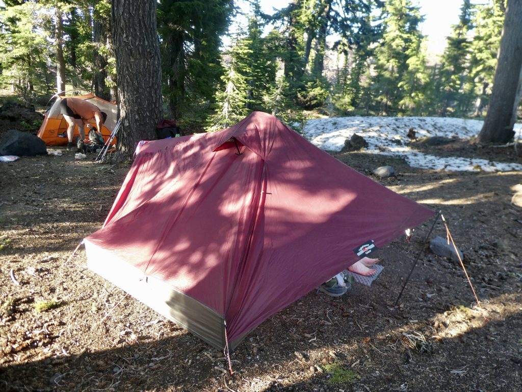
I think last night was my best nights sleep on the trail this year. My feet and legs were achey when we got in bed but I felt completely refreshed when I woke up to the slight whispers of Sassy talking to Bear. If Sassy is awake, that’s an “all systems go” signal.
I had gotten everything ready for breakfast before we went to bed, so all I had to do was boil 1.5 liters of water. We packed up most of our stuff before the coffee was even cool enough to drink. Bunny and I had our tent down before Bear and Sassy emerged. The old methods are slowly coming back…we’re supposed to wait 30 minutes after we hear Sassy before we start going. We were done and ready while Bear was proving he was a Bear by doing what bears do in the woods. They still had to filter water so they told us to go on and wait for them at McKenzie Pass.
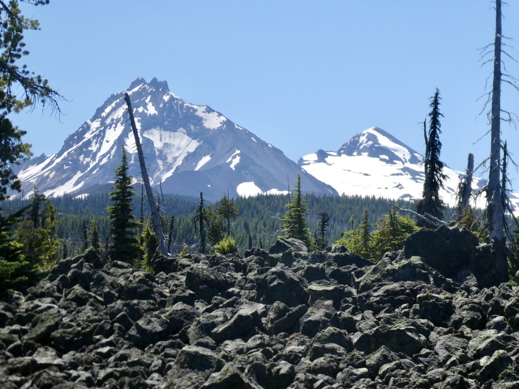
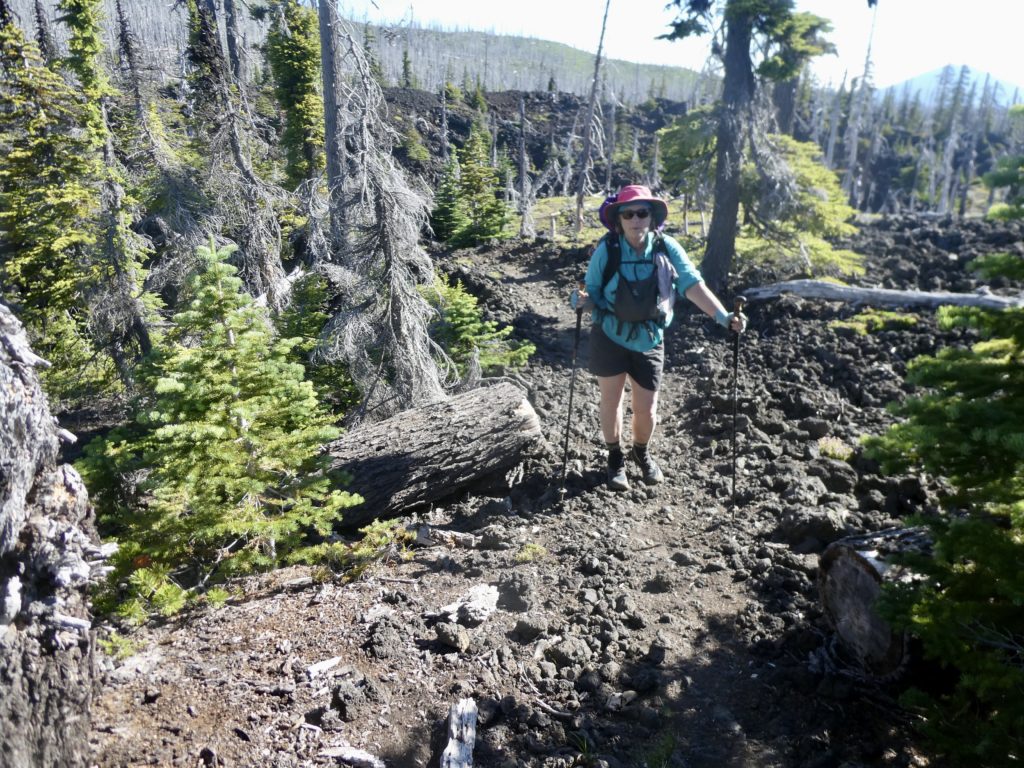
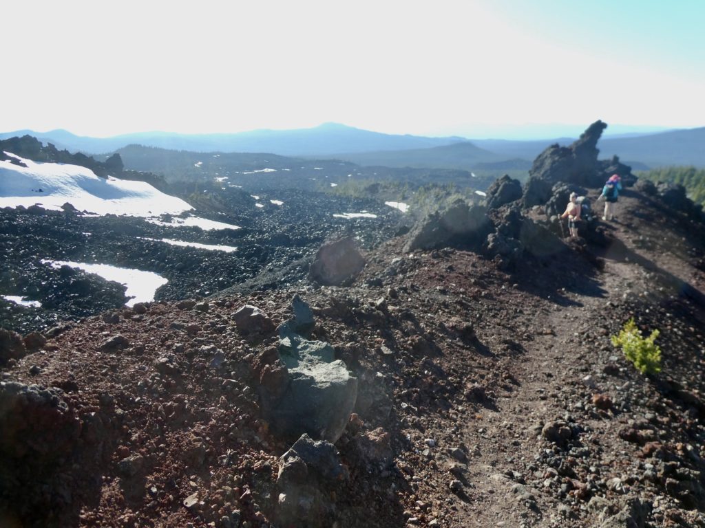
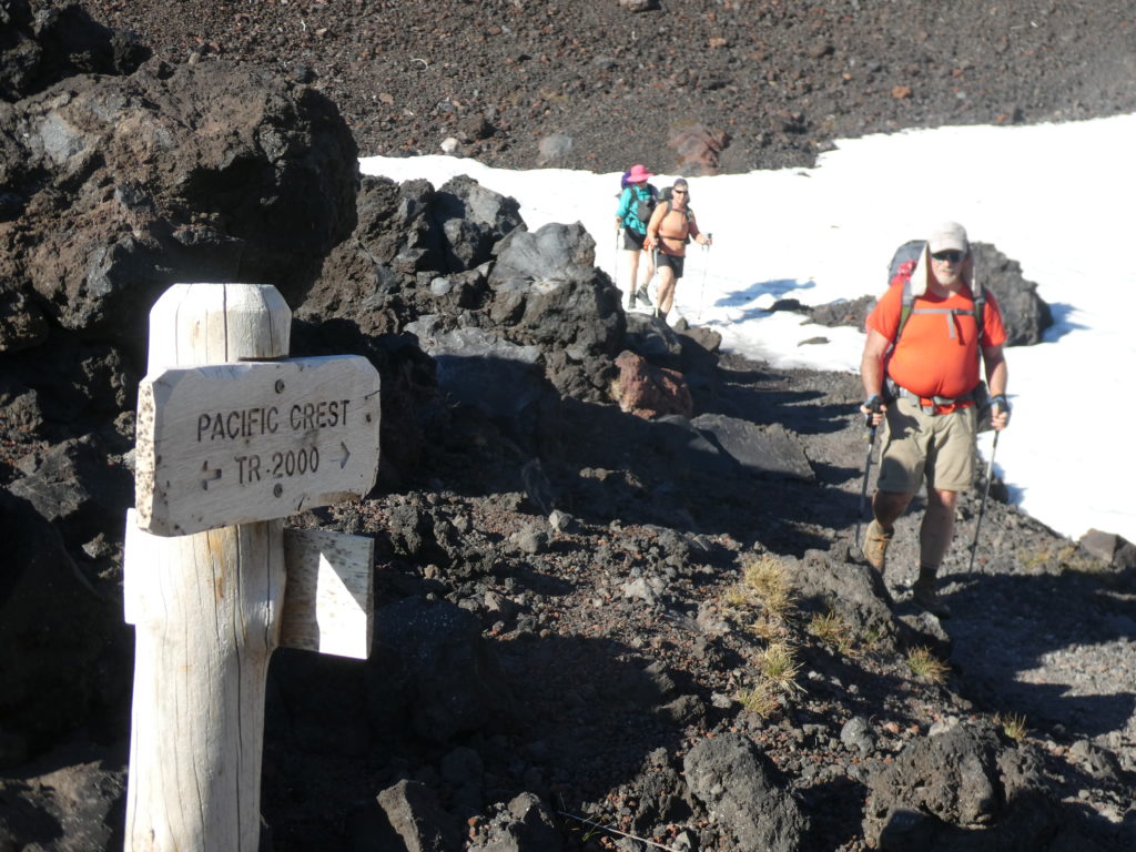
We knew we’d be slow today. It was only 5.3 miles to McKenzie Pass, but it was mostly over lava fields. The reason Sassy told us to go ahead was because I had skipped my morning constitutional opting to hold out for the pit latrines at the pass. In addition to rough trail, a thousand foot climb, and a thousand foot descent, we could also be facing stiff walking by yours truly if pressure build up became too great.
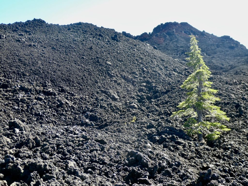
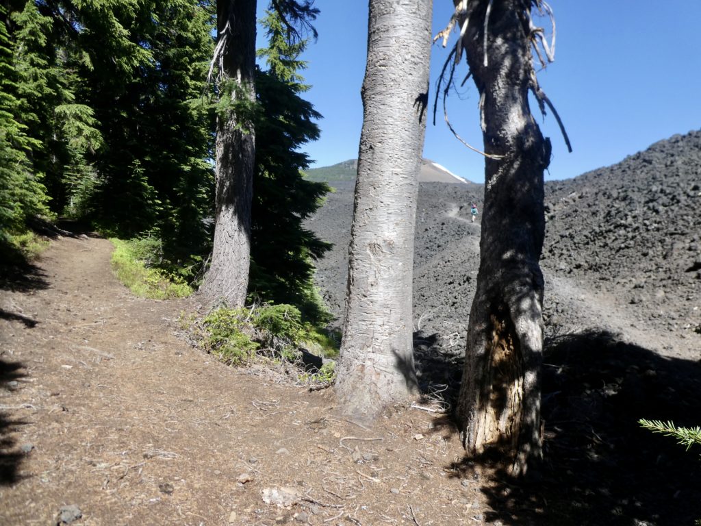
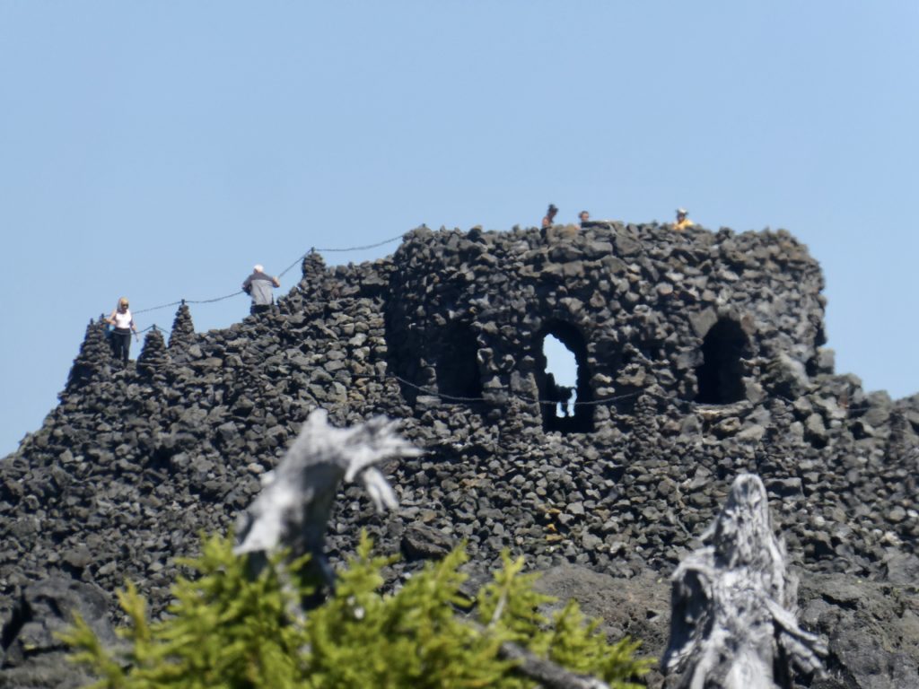
Who would have thought that walking on black lave fields in full sun without any breeze would be so hot. It was torture. It took us nearly 3 hours to cover the 5 miles. I managed to drop my pack at the trail junction and took the trash with me. There were 5 latrines and 2 trash cans at the pass, but no water or picnic table…not hiker nirvana, but close enough after an overfull morning hike.
The next water wasn’t for another 4 miles. I made it back to my pack just as Bear and Sassy arrived. We had a little snack before heading on. Sassy was starting to become a bit overheated and was not liking the lava field experience. After how cold we were just 10 days ago, we couldn’t believe we would be complaining about heat so soon.
Bunny and I started pulling away from Bear and Sassy. This is very unusual as they are both stronger hikers than we are. A few day hikers who passed them and caught up to us, told us they were taking a break. We decided to push on because we were getting overheated as well. We had already agreed we were going to stop to get water at the pond.
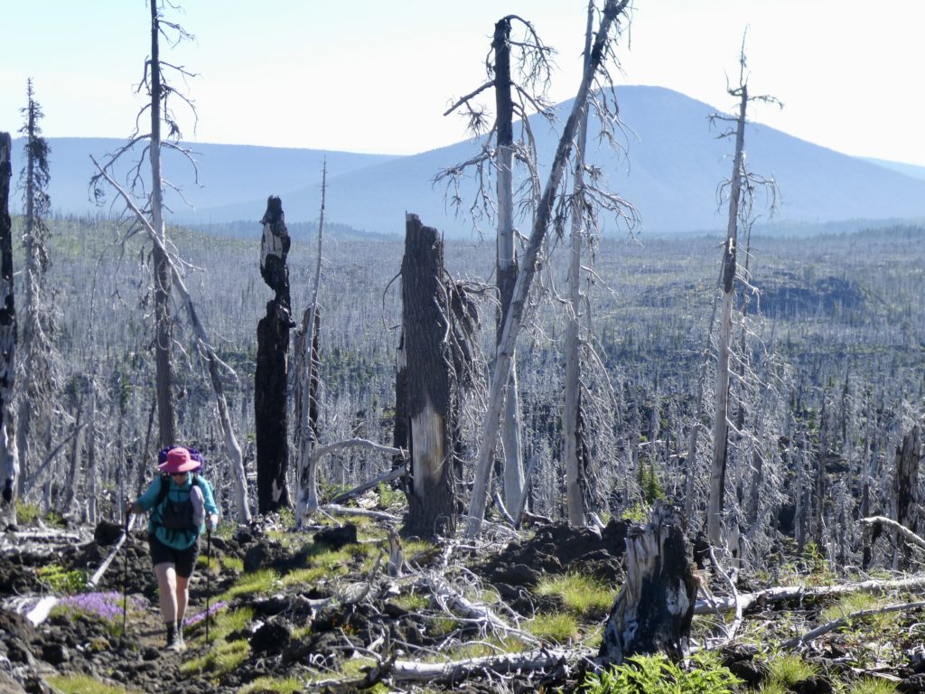
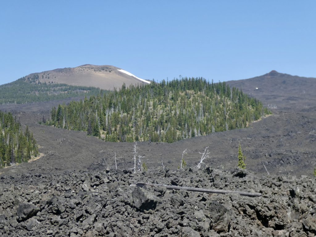
We passed a couple of small ponds by the trail, but the mosquitoes were horrendous so we kept moving. We finally got a change from lava field…another burned forest. The last 4 days of hiking have been pretty hot because of lack of trees. We saw a heat wave was stretching across the US and I guess it’s having its effect on the trail in Oregon.
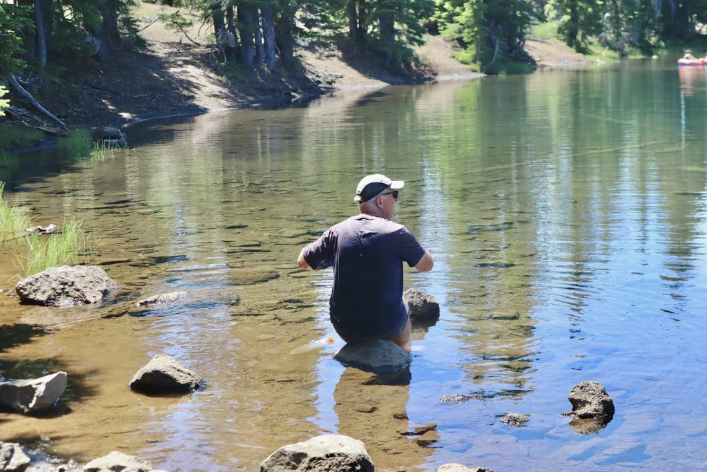
The pond we aimed for was more of a lake. There were horse riders, day hikers with dogs romping in the water, and even a some people with an inflatable kayak paddling around. I spotted a campsite on the opposite shore with trees to provide shade over a few rocks in the water. We headed that way.
I took off my shoes and waded into the water. I chose my rock and sat down to get water to filter after I washed my feet and legs. Bear and Sassy showed up just as I finished drinking my first liter of water. We ended up taking over an hour break here. We were all overheated and needed some relief.
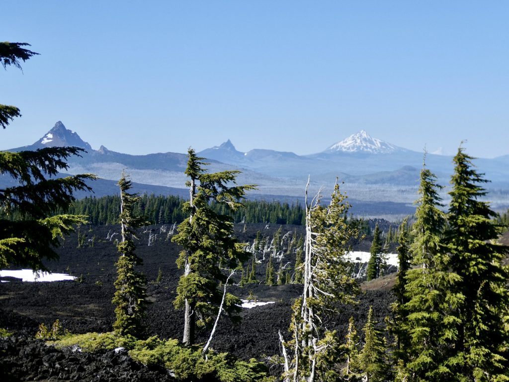
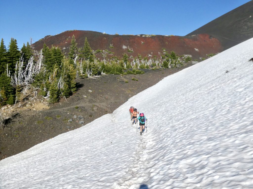
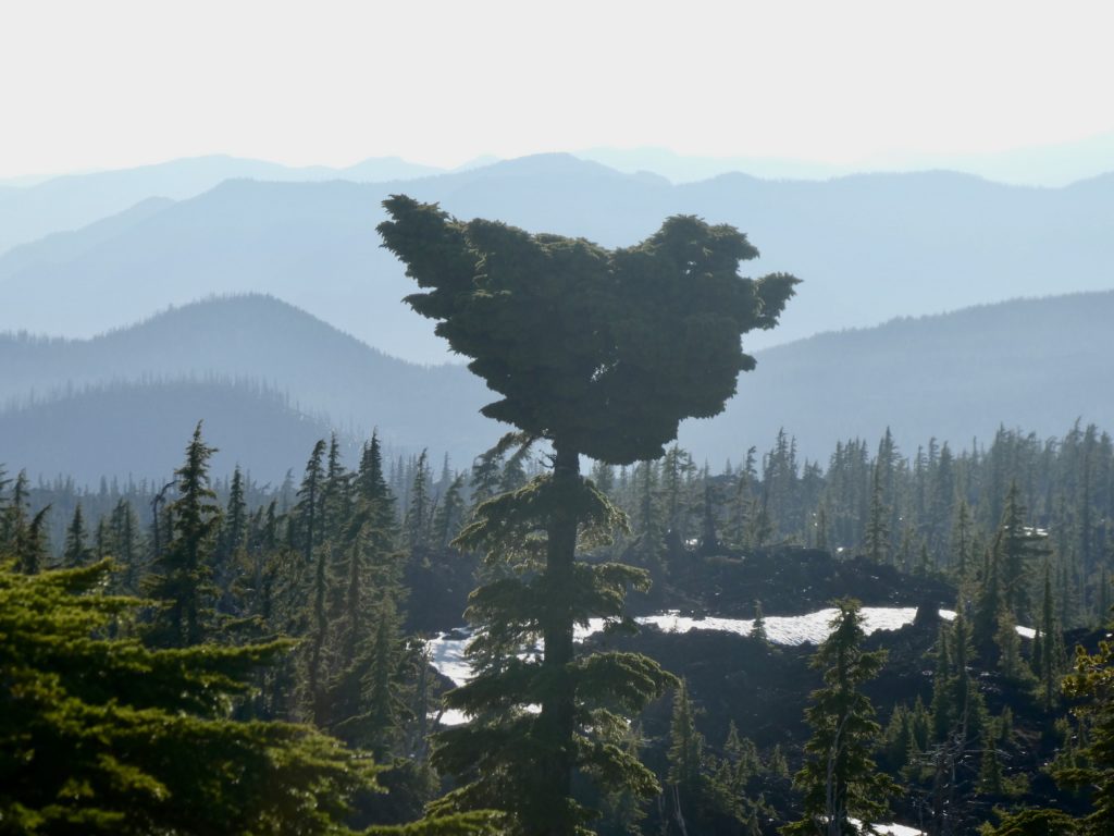
We had less than 5 miles to go to make it to camp. We stuck together all of the way after lunch and took frequent water breaks. Of the 5 miles, 4 1/2 of those miles were climbing up to 7000’. As we climbed, we got great views of Mt Washington, 3 Fingered Jack, Mt Jefferson, Mt Hood, and a small glimpse of Mt Adams in Washington. It was awesome to see 5 volcanoes in a line while standing on the side of another (North Sister).
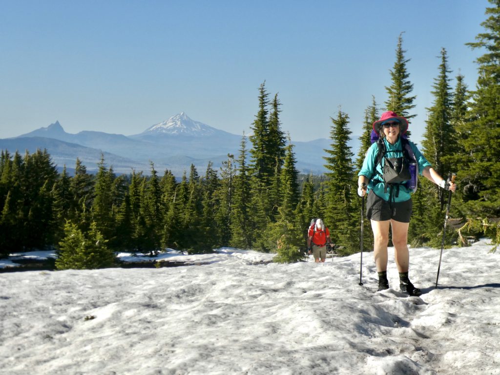
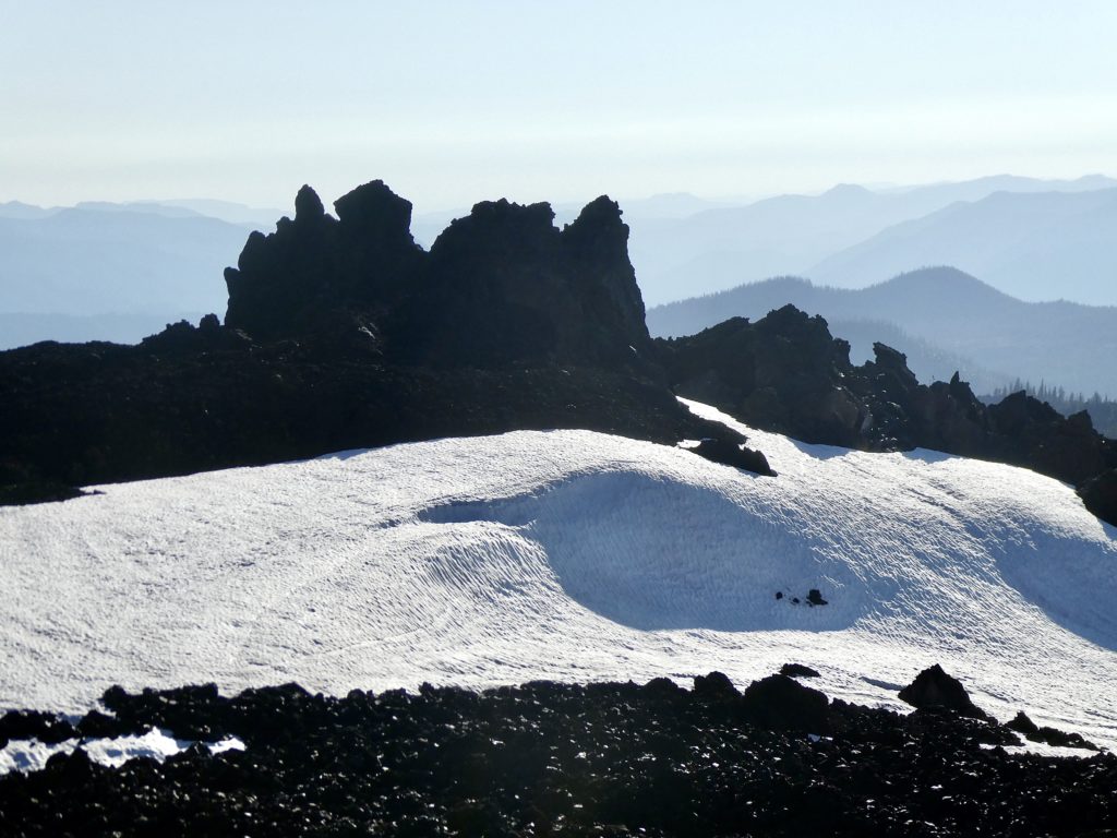
We filled up water one last time in the middle of some snow crossings. Above 6400’ we ran into a fair amount of snow, but nothing too difficult to cross. Near the top, we ran into a couple of groups of people out doing 40ish mile loops around the 3 Sisters.
It was mutually agreed that we just wanted to get to camp. We were all wore out from the heat today, not the trail. I made the observation that we spent all day walking over lose rocks (like people describe Pennsylvania on the Appalachian Trail) and none of us had terrible aching feet. This just proves my point that PA is not a bad state, it’s just that there are a lot of whiners hiking the AT. Sassy challenged my thesis claiming that the soaking of feet in the pond is why our feet felt good. She’s a PA hater, so I discount her opinion and declare myself right. He who pays for the website has the final say.
EFG