
Now I remember why I don’t like RV campgrounds—we were woken up early from all the noise (it never really got quiet overnight). If I were a serial killer, I’d definitely target KOAs; no one would notice a few additional screams. On a side note, several years ago my aunt and uncle from Florida came to visit me and they wanted to stay at Ft Massac State Park right on the Ohio River with their RV. I convinced them to switch to Lake Glendale State Park which was only 3 miles from my place as the park had just spent some money redoing the campground and building a new shower house. It was beautiful, quiet, clean, and new. They stayed there one night and then moved to Ft Massac. They told me it was too quiet, you couldn’t even hear the interstate. Plus, there must be something wrong with the place since it wasn’t crowded. It takes all kinds, but I digress.
We made use of the facilities at the Killer On Acid park but, honestly, I’ve been in much cleaner outhouses. Kids were running through the showers the whole time and I’m not certain I saw a full set of teeth the entire time we were there. I couldn’t wait to get packed up and out of there. We went to a restaurant out on route 101 that had pretty purple and pink flower baskets hanging outside the front door. Purple flowers or bunnies around a restaurant entrance are marks of an excellent dining experience to come, in Pam’s eyes (have I mentioned the 10,000 bunnies in our house with purple bunnies given preference in the pecking order?) To be honest, the food was good and plentiful so the purple flower basket litmus test still holds true.

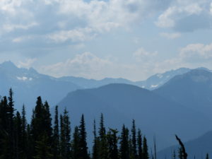
I hope the drive to the trailhead was the scariest part of this trip because I had to white knuckle it the last few miles once we got in the park. We climbed from sea level to over 5000’ at Deer Park Campground. This road is definitely closed in the winter. If a good rain comes while we’re hiking, we could be in the park for longer than we planned. The road is cut right into the side of the mountain with the dirt held in place by the trees on the downhill side. I will admit that I’m scared of heights under normal circumstances, and this wasn’t normal by any experience of mine. It probably took us a little longer to get to the trailhead than most people because I wouldn’t go more than 10-15 mph. As luck would have it, we did pass a few SUVs on their way out that were going way too fast. The views were amazing. Pam kept telling me to look but there was no way my eyes were leaving the road while we were moving.
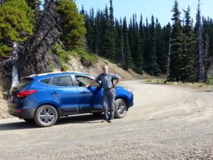
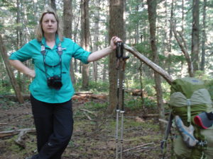
Once we got to the top, thank god there was a level area for the campground and parking lot. I don’t mind walking up mountains where I’m in complete control. Having anything between my feet and the earth creates a problem. I was still shaking a bit as we were putting on our packs and getting our “before” pictures. Pam said that was nothing at all compared to some of the roads her dad took them on in Colorado when they were growing up. This will definitely be in the back of my mind every time I get in a car with Bill.

The trail runs for about 0.4 miles before it splits to head downhill to three forks camp. It was just before we got to the junction that I realized I had left the permit in the car. Since we were hiking, I had a low speed come apart (we never hike more than 2 mph so it can’t be considered high speed). After my tantrum subsided (Pam is real good at calming me with comments like “Really, you’re reacting like this” “Do we really have to have it?” and my all-time favorite, “Whatever”) I headed back to grab the permit while Pam contemplated continuing on the loop with me for the next 5 days.
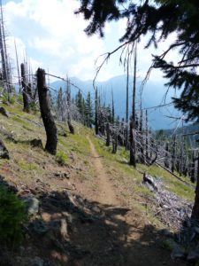
By the time I got back, I was calm once again—I just vent and get it out of my system and then it’s gone forever (or at least until Pam brings it up the next time she gets mad at me). The trail is all downhill for the next 4.1 miles. We dropped about ½ mile in elevation over that distance. We only passed one group of 3 college age guys heading out, one of which was dragging behind, probably ½ mile, of his buddies. If this hike would have been twice as long, it would be comparable to heading into the Grand Canyon, except there were lots of trees and creeks so it wasn’t too hot. Unfortunately, we are going to have to hike back up this same trail in a few days so we will always know what’s hanging over our heads.
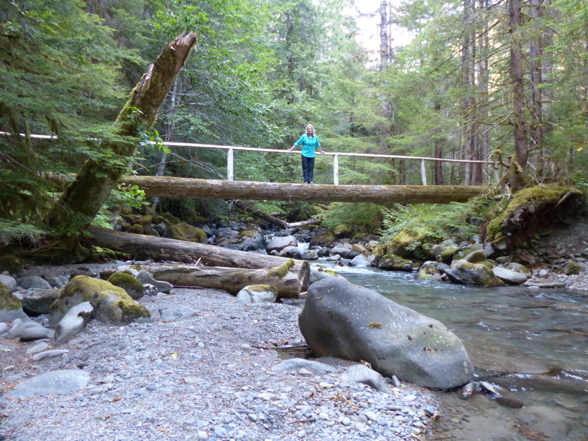
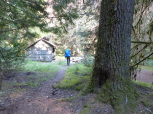
We got into camp around 4ish. There’s a 3 sided shelter in the camp very similar in design to an AT shelter. Since we weren’t aware of the regulations regarding use of the shelters, we set up our tent about 50 yards away. It was obvious that this is a ranger spot because there was a lot of gear inside. There’s also a very nice outhouse above the hill behind the shelter.
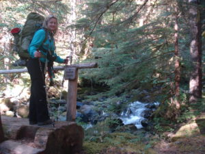
We cooked by the shelter and then went exploring the area after we had all of our camp chores done. The camp gets its name from the 3 creeks that flow together here to form the Gray Wolf River. The water flow is tremendous and we are camped right next to the creek. We will be lulled to sleep by the roar of the water but the sounds of running water in my ear every time I turn over all night will probably lead to more nocturnal out-of-tent expeditions for me. I try to get Pam to drink another quart of water, but she declines.
