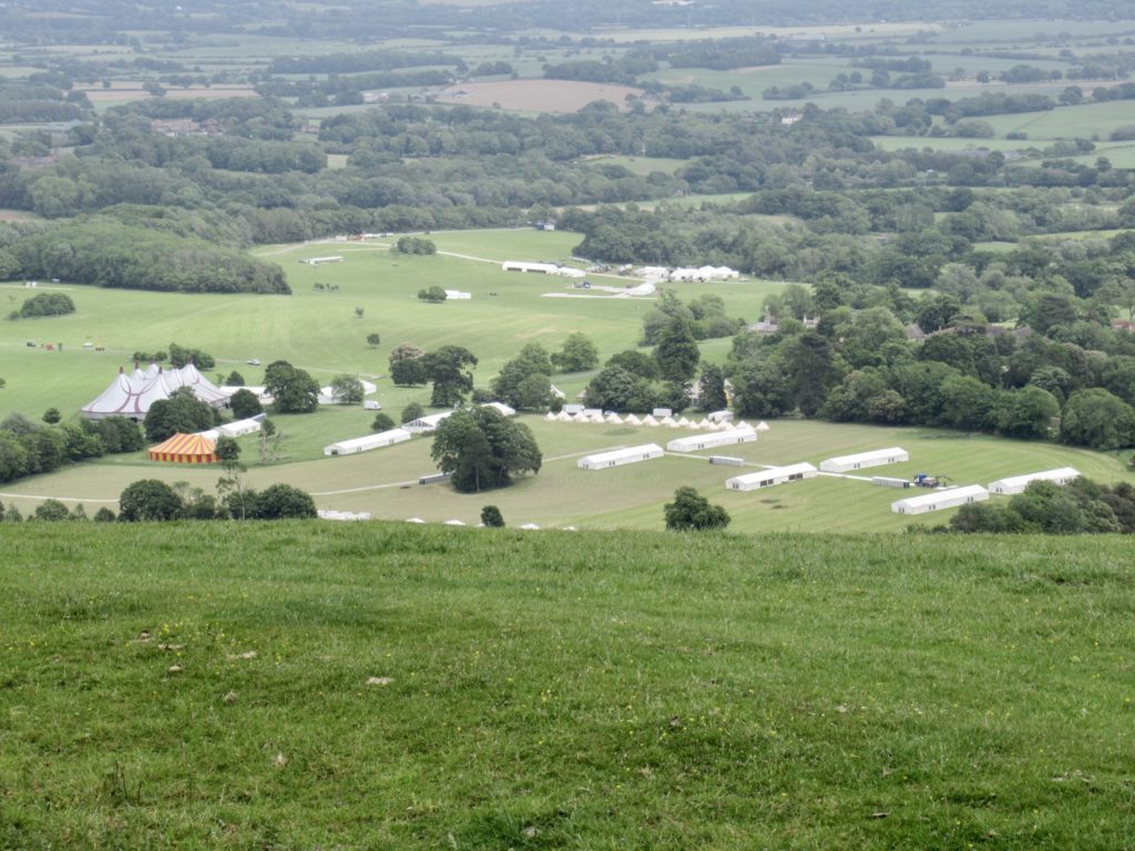
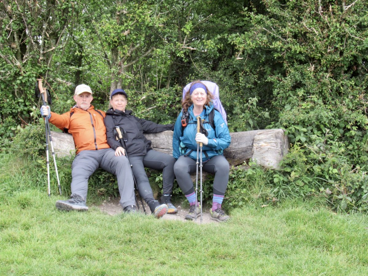
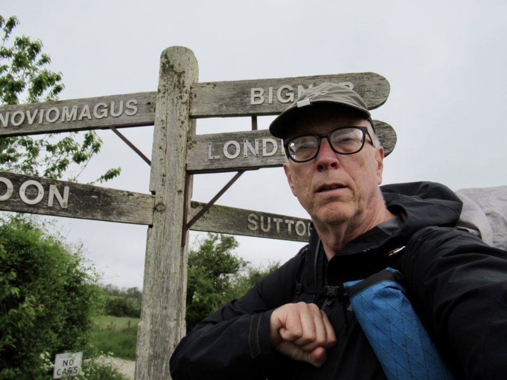
Day 11, May 31, Battle/Hastings/Easttbourne—History Time

The battle that changed it all

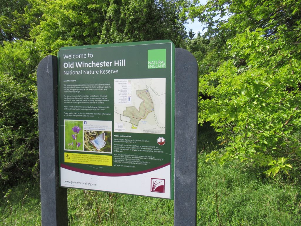
Eastbourne is one point of an equilateral triangle with Hastings and Battle in southern England. Hastings is famous for 2 things (in my mind): the Battle of Hastings, and Foyle’s War. I was slightly interested in the former, and was determined that I needed to tour the Foyles War Museum in Hastings. 
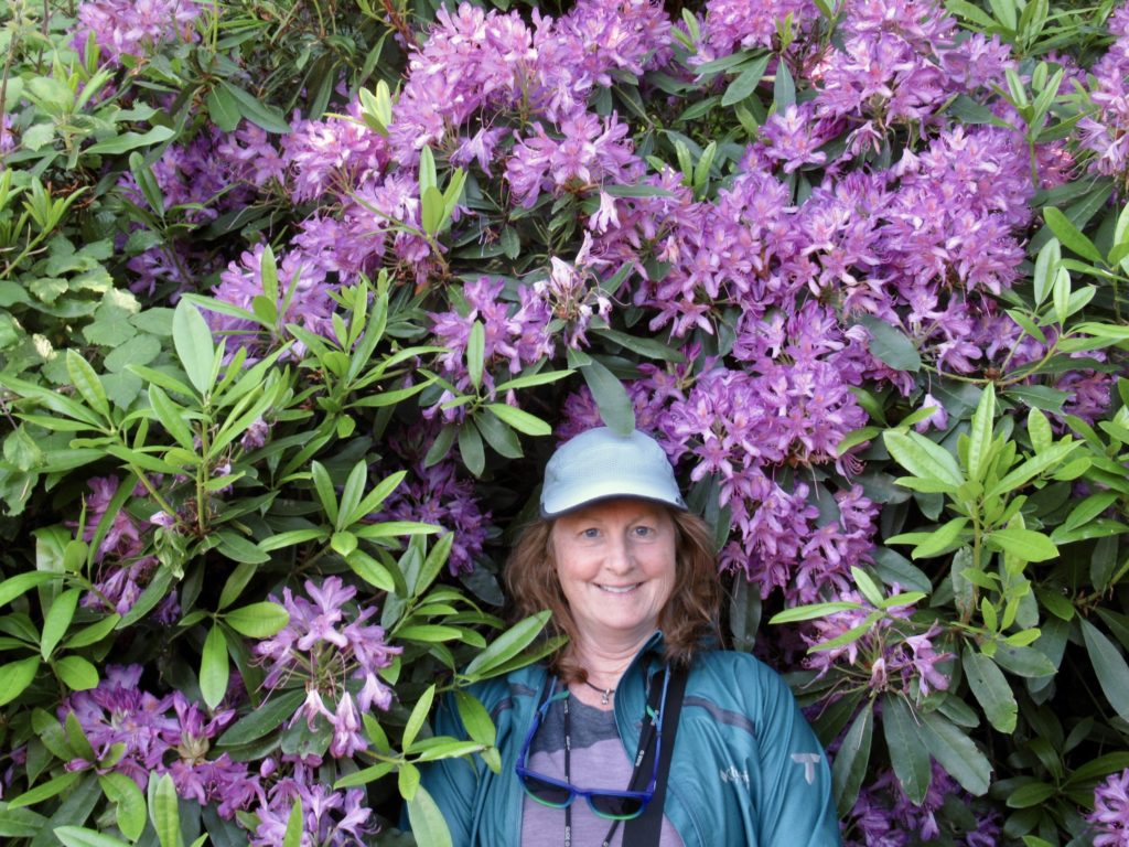
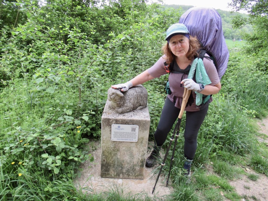
Bunny’s favorite color

Bear is a nut…my bad, I meant history nut. The only fact I remember about the Battle of Hastings is that it happened in 1066. I was slightly aware that it happened just northwest of Hastings. It’s exact location is in the town of Battle. What are the odds of a major battle happening in a village named Battle? Pretty small. The founders were not soothsayers, they were, after the fact, opportunists. 

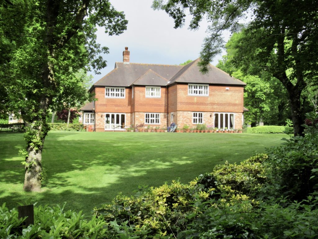
The Abbott’s palace which became a private home and is now a school

We all agreed to head to Battle for a couple of hours and then we’d head to Hastings for the Foyle Feast. The National Trust operates the Abbey Grounds and battle sight of the Battle of Hastings. The entrance fee was nearly £30 per person. I was skeptical, but Bear was excited like a little kid on Christmas morning. Plus, he offered to pay, so I was onboard. 
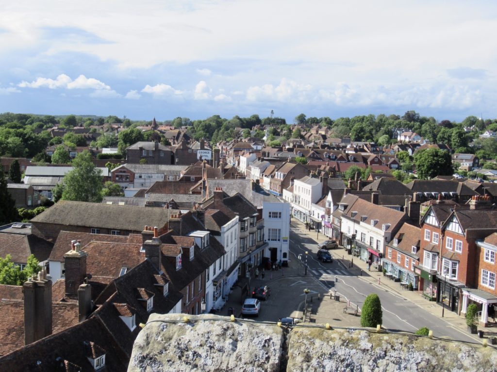
Current day town of Battle

The only other time I have been as pleasantly surprised with a historical sight was Pembroke Castle in Wales. This was a fascinating look at a major historical event that has had lasting effects to the present. I was completely enthralled. Learning history in school is “eh” at best. Going to the actual site operated by distinguished volunteers taking the time to explain events and demonstrate things really brings it to life. 
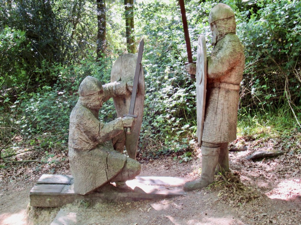
Hand to hand combat on the actual battlefield—it was a tree free area 1000 years ago

I’ll give a 10 cent interpretation. Edward the Confessor (“I did it”) was a weak king without an heir. On one of his flights from battle, he stayed in the Duke of Normandy’s palace and became enchanted with the Duke’s son, William the Bastard (not a name William liked—hence, he developed a bit of a chip on his shoulder). When the king (“I did it”) died, he entrusted the crown to young Harold to deliver it to William. 
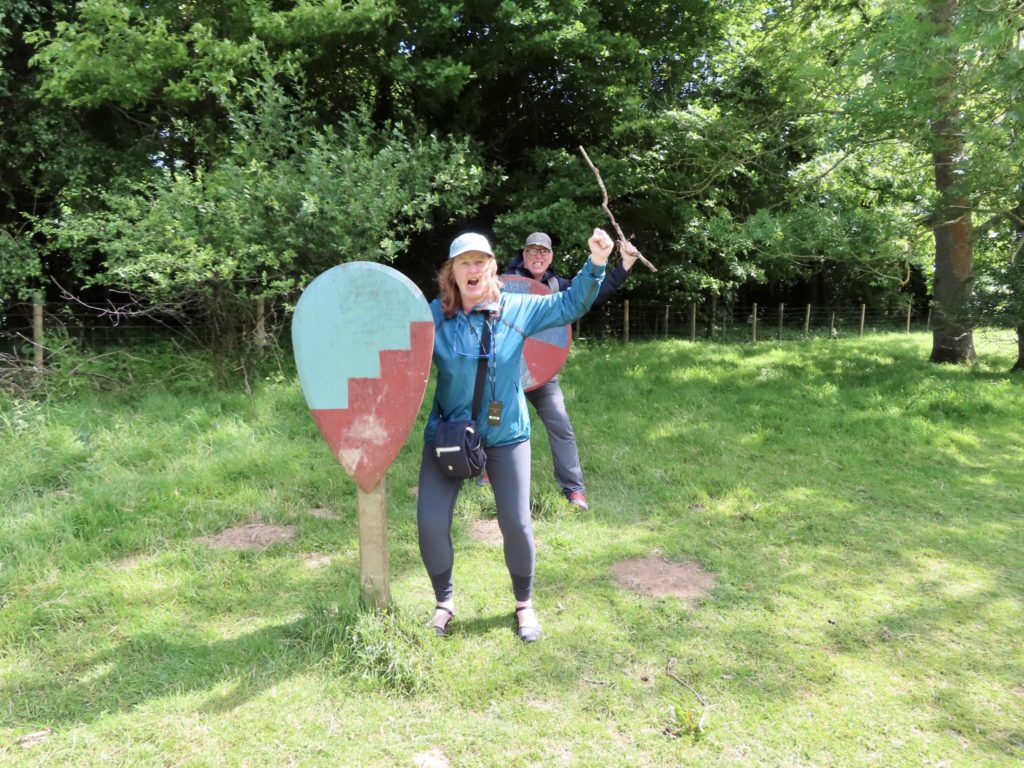
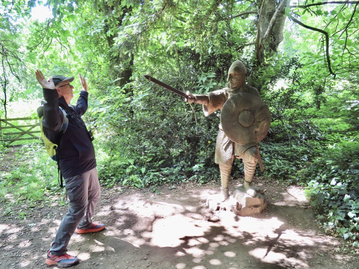
Bunny and I demonstrating the first two killed in any battle

To Harold’s credit, he tried to deliver it, but he had the equivalent of a flat tire on his way to William. Since Tripple A was still 900 years from being invented, Harold used his strong family connections to the crown (his wife was second cousin to the former kings second wife who had been wife to another king somewhere else…as good as being a son to Edward (“I did it”). 

A Norman archer firing on the English line…Harold didn’t have many archers

Here’s where it gets confusing. Harold was knowledgeable, charismatic, good looking, and a natural leader that everyone liked, especially the aristocracy around the previous king (“I did it”). That part is hardest for Americans to grasp…”a young, charismatic, natural leader liked by all.” We have never seen anything like that in the US, and, quite frankly, can’t believe it exists outside of Canada. I guess, think Trudeau.
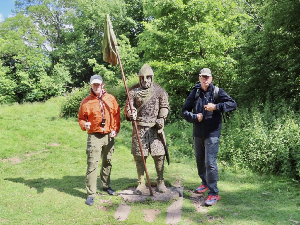
3 heading to battle, two of which will not make it through the first 10 minutes

William was a rich, spoiled brat, feared by most (“call me a bastard, I’ll cut your hand off!”) who wanted more than half of France which was already his. He wanted England. It was his god given right. Now this is an identity Americans can understand. Instead of “call me bastard” replace with “throw fruit at me”. And replace “I’ll cut your hand off” with “I’ll have the Secret Service hospitalize you”. Yes, we have an original version of Trump. 
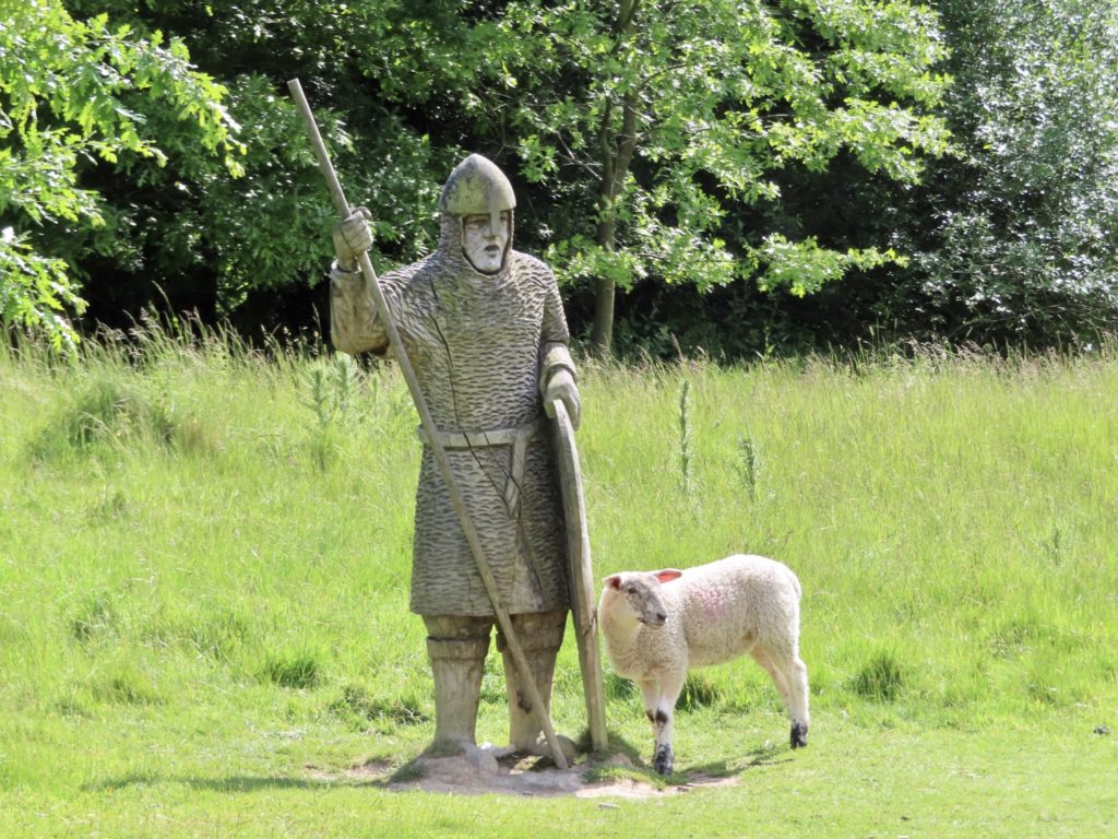
More proof of my sheep master plan—yet another battlefield they control today

So the Bastard invade southern England with 10,000 men. England had a population of several million people at the time. Harold was valiantly and successfully fighting off another invasion from the north. William tried to goad Harold into a battle. With only 10,000 men, how could he hope to take over and control a foreign country. Here’s how. The Catholic Church was backing him. He was God’s anointed and Harold was a usurper. William started destroying Harold’s source of income by destroying his personal lands and villages. 

The spot where Harold lost more than his life was the location of the alter in the cathedral

Harold marched his 7000 men 200 miles south in about 48 hours. Don’t mess with a man’s income! He chose the battle line to be in an area with no name and no villages around. This area will one day be known as? Anyone. Anyone…Who said Battle? Gold star. 
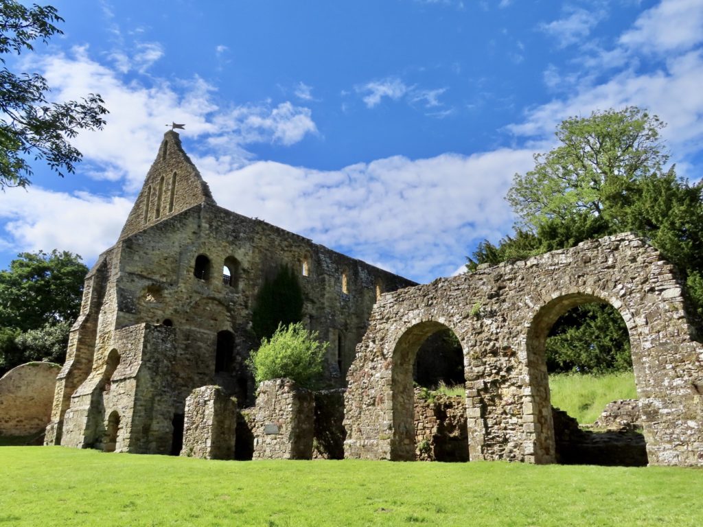
Back of the abbey ruins which was a successful operation for 500 years

William drooled at an opportunity to fight and took it. Their army’s were pretty evenly matched at about 7000 each. Harold had superior position and support of the local aristocracy. In fact, they were almost ALL with him on the battle field. 
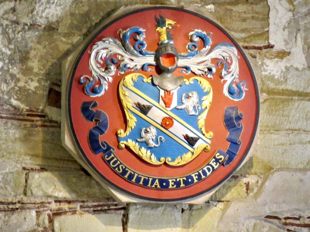
Coat of arms of the abbey

Harold had additional reinforcements on the way. All he had to do was hold out until dark and victory was his. William had no chance if he didn’t kill Harold on this day in this battle. The early fighting went to Harold. William couldn’t break through the English line. At one point, a rumor started that William was dead. Part of his line fled when they heard this. The English, excited by blood lust, stupidly broke ranks and followed. William’s Calvary intervened and killed every last Englishman that broke rank. 
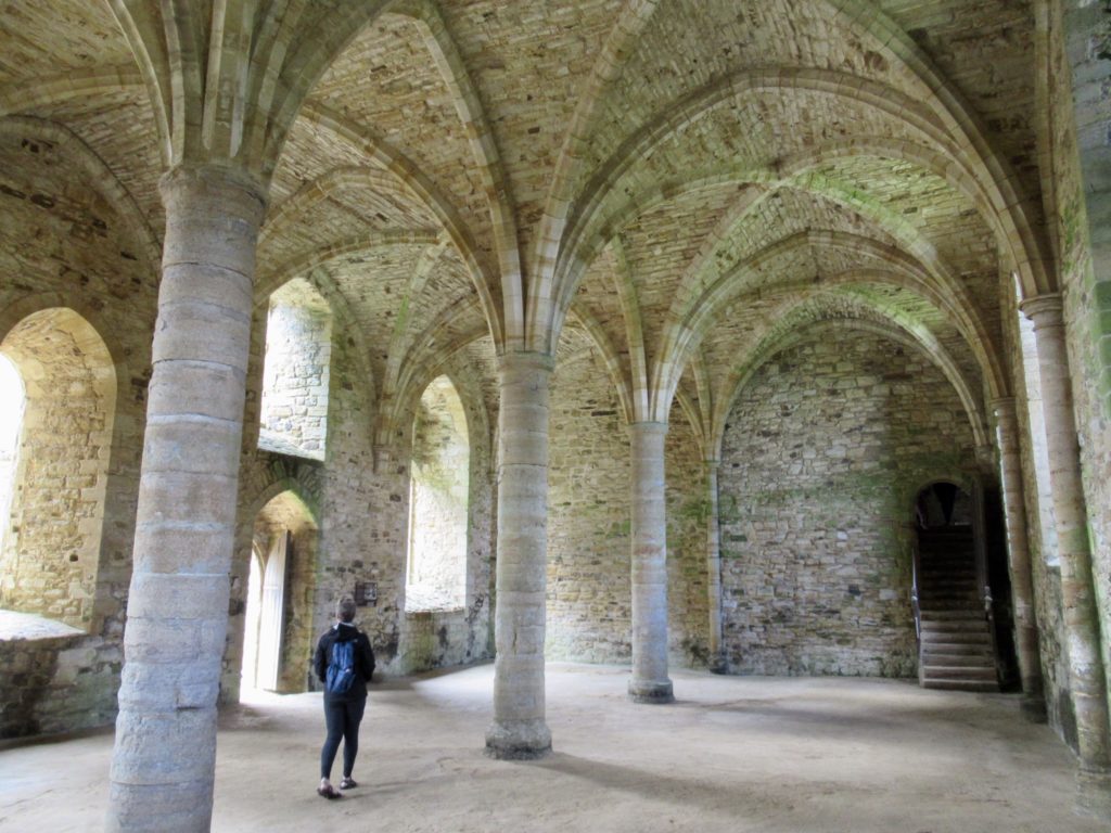
Where the monks spent most of their time

William saw this and developed an idea to let his men know he was still alive. He rallied his troops and tried the same maneuver on a different part of the line. It worked like a charm. When the English followed, they killed them all. Only, this time, Harold and his immediate guard filled the hole left in the line. Harold was trying to rally his troops. 
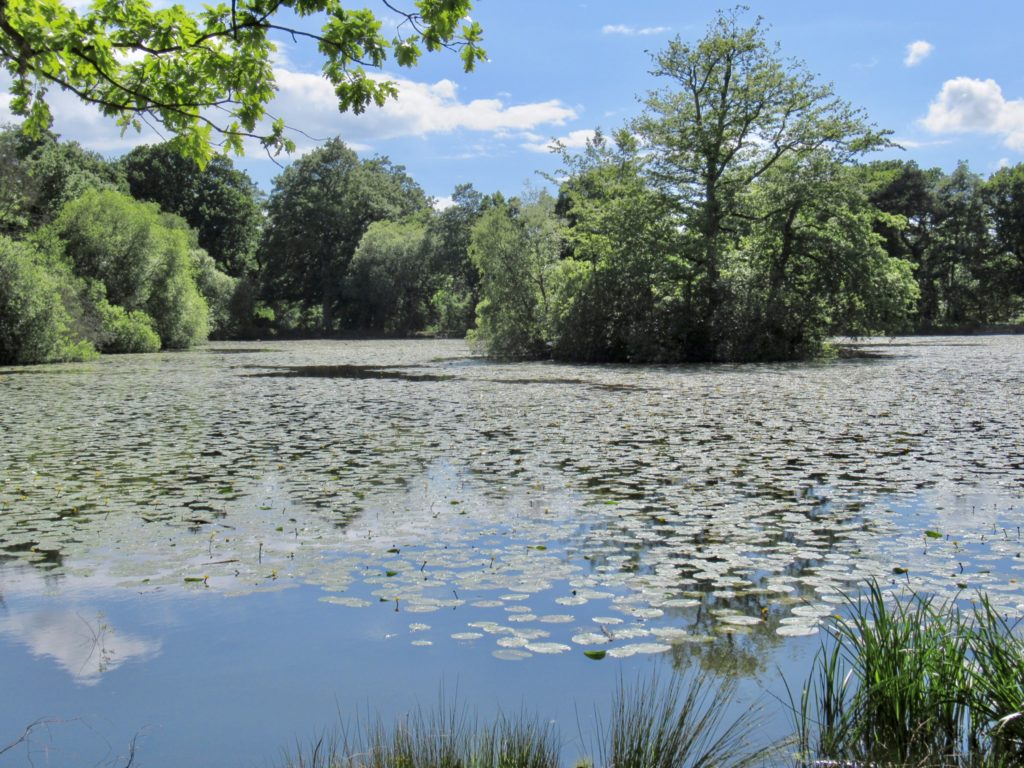
The battlefield was swampy to one side, a drop to the other. The English held the high ground with no chance of being flanked

Whenever the King goes somewhere, so does his banners. He’s letting his troops know he’s with them and fighting. Problem is, the enemy also recognizes the King’s banners. William got four of his best knights to go assassinate Harold where he fought. The four broke through the line. The first drove a spear through Harold and killed him. The second cut off his head to remove all doubt that he might still be alive. The third disemboweled him. What was left for the fourth to do? He cut off his genitalia and paraded them on the battlefield. 
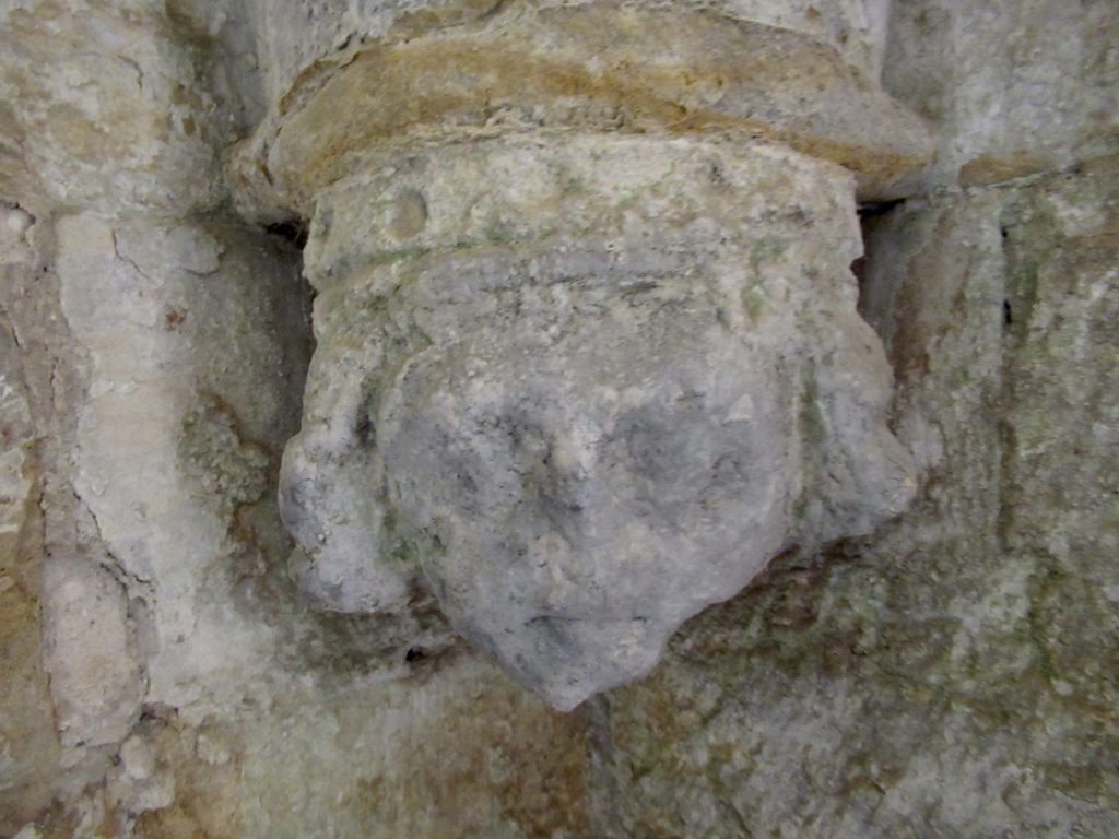
Imagine the detail and majesty 1000 years ago

Kill a king…no problem. Disembowel him…if you must. Cut his balls off…you’ve gone too far. William won the battle, killed all the nobles who supported Harold and all the soldiers who fought for him, thus ensuring he was only surrounded by yes-men and ass-kissers and claimed the throne (the Trump analogy not quite finished). 

Walking through the gardens inside the Abbey grounds

The Pope was highly offended by the ball cutting. William must do penance. The price of salvation was to build a Cathedral on the site of the battle and an abbey. It was a very magnificent and beautiful compound which existed over 500 years until “Waa, waa, waa, I can’t get my way so I’ll tear it down”—Henry VIII. 

An ice house built in 16th century

Today, there’s a luxurious boarding school on the grounds in what used to be the Abbot’s house. The boot licker that got the complex from Henry VIII tore down the cathedral to please him and spruced up the Abbot’s palace trying to get Henry to visit. He never even came by and said thanks for doing my dirty work. 
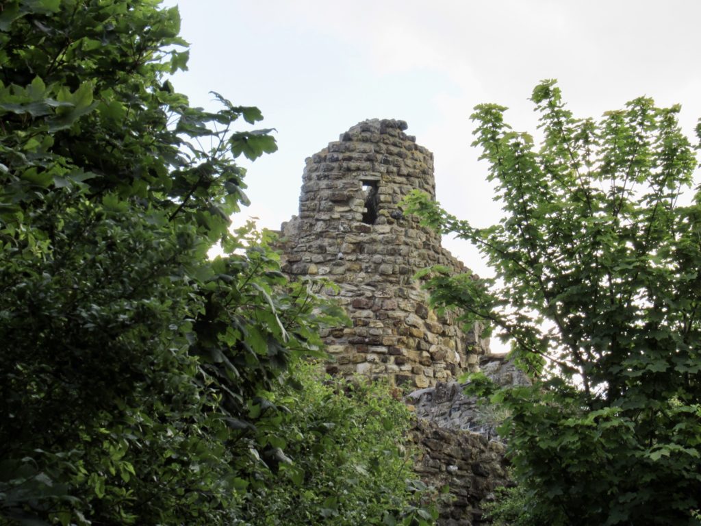
Hastings Castle ruins above the city

All in all, it was a very enjoyable day of watching history come alive. There’s an interactive audio circuit of the grounds. We were, very nearly, the last to leave the grounds at closing time. We caught the train back to Hastings so I could visit the Foyle’s War Museum (spoiler alert, we already found out the museum doesn’t exist).
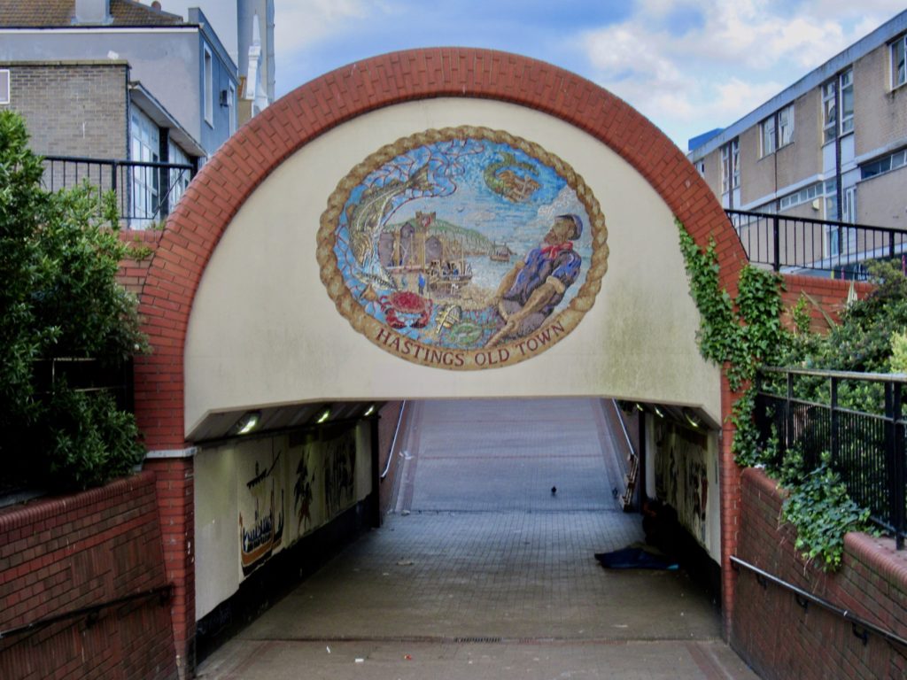
Entrance to old town Hastings

The altered plans included supper in Hastings with Bunny and I going by Foyle’s house for a picture out front. Bunny wavered when she saw it was a couple miles worth of walking. I left the three of them while I went on my quick house visit. 
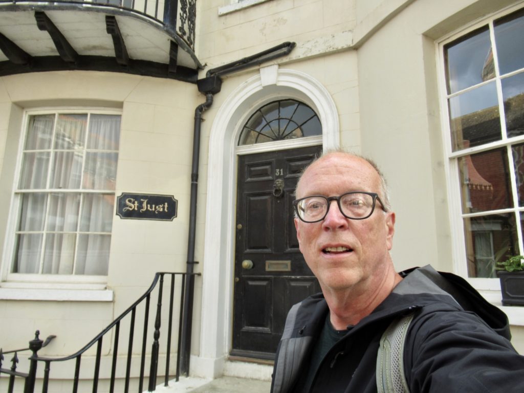
Inspector Foyle’s house

As soon as I left, they witnessed an altercation in the street involving a few drunks and a broken bottle. No blood, no guns, just harsh English words which I’m sure ended with “I said good day, sir.”  Nonetheless, they were shook up and went back to the train station to wait for me. 
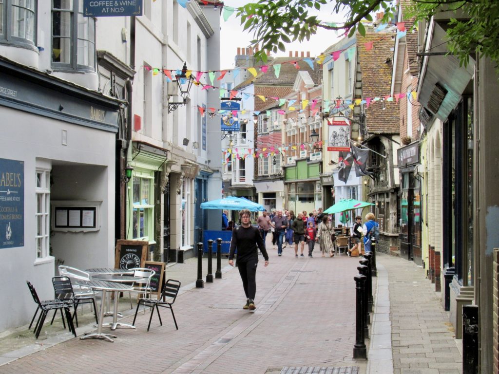
The Main Street of old town Hastings

My whirlwind tour included visiting Hastings Castle (closed), Foyle’s house (private residence), walking through old town (charming 4 blocks), and walking along the seaside (think Jersey shore with amusement parks). Hastings is a city of over 100,000 and loses the charm that tiny English villages have. Too many people always leads to the same problems wherever toy are. What we need is a good pandemic to straighten things out a bit. 

EFG
Day 10, May 30, YHA Eastbourne, TM 99.3–(9.1 miles)

A visually dramatic end to the hike

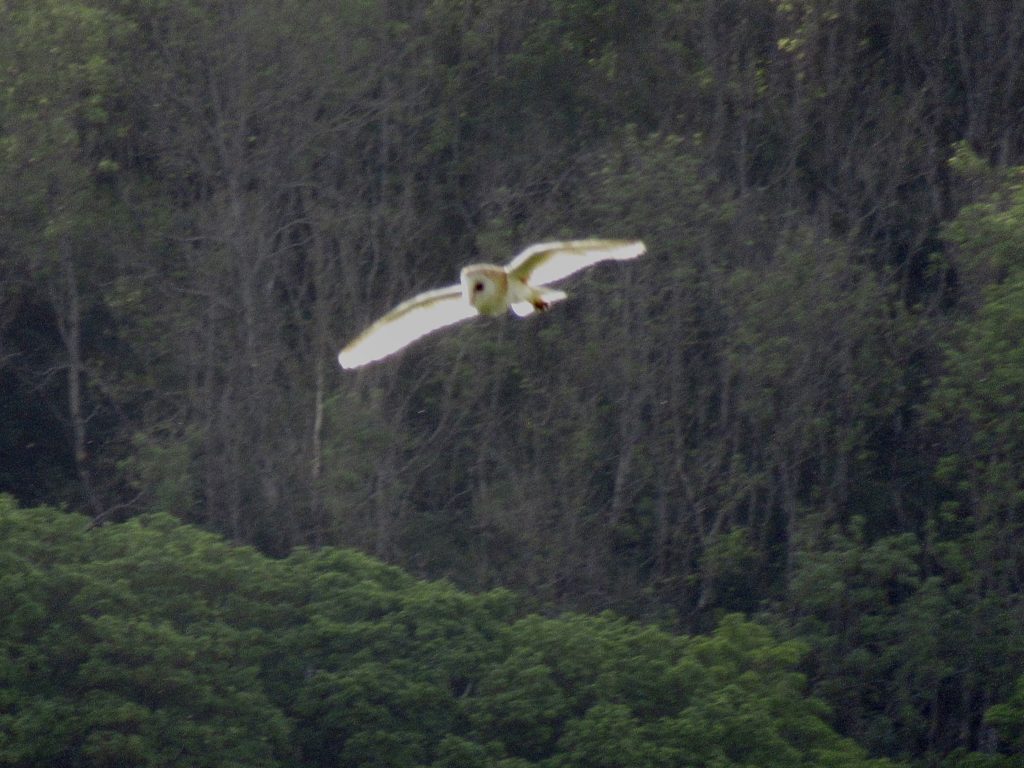
We went to bed outlaws and, somewhere in the night, we became students at Hogwarts. There is a healthy owl population in these woods. There were other Jurassic noises as well. Fortunately, in a previous life, I’ve played a farmer so I recognize what cow sounds can emanate from the beasts. 

We chose to start along the river

All in all, this was one of my better night’s sleep on the trip. It was cool enough that our quilt didn’t make me sweat. Bunny only had one complaint—that she didn’t have enough room to turn over. She tried to claim I was hogging the bed. I checked her cheeks and there were no mesh patterns. 

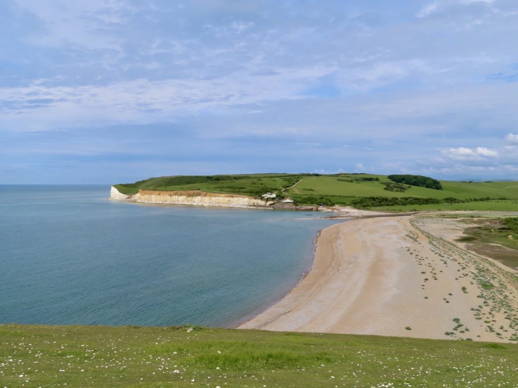
The mouth of the Cuckmere River

Breakfast was a bit skimpy, just a cup of coffee, half a green belly bar, and a small yogurt. I was hoping for a cafe in Exceat, which is the entry point to the Seven Sisters. I knew this was our best shot at food all day. It was less than a mile from where we camped to Exceat. 

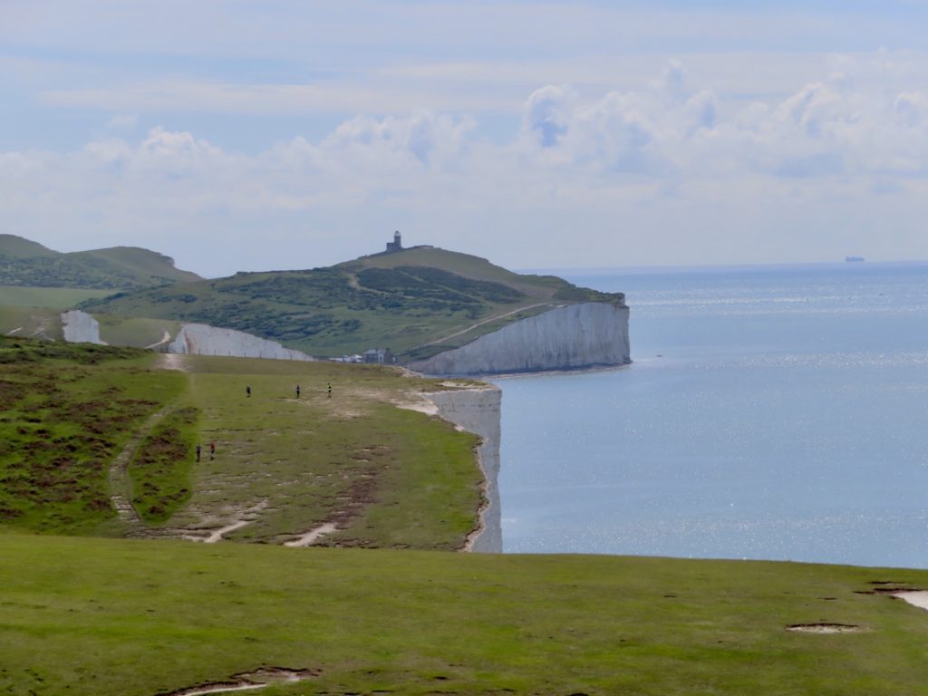
Looking ahead to Belle Tout to gauge our progress

We hit paydirt. Score 1-0. We had coffee, a sausage roll, and a pastry to round out our skimpy morning meal. We need all the calories we can get for todays climbing. We also got sandwiches for lunch in case the lighthouse cafe is not open with today being a Monday. 

It’s like a golf course green

I tend to be a trail purist. If there’s official path, I generally take it. Sometimes, the alternate path is just too attractive to pass up. This was one of those attractive alternatives. We had the choice of climbing a hill for no reason at all to end up down at the river in a mile, or walk along the river for a mile, enjoy some shade, watch dogs playing in the tall grass, see kayakers, and avoid a climb. We’ll have plenty more climbing the rest of the day. 

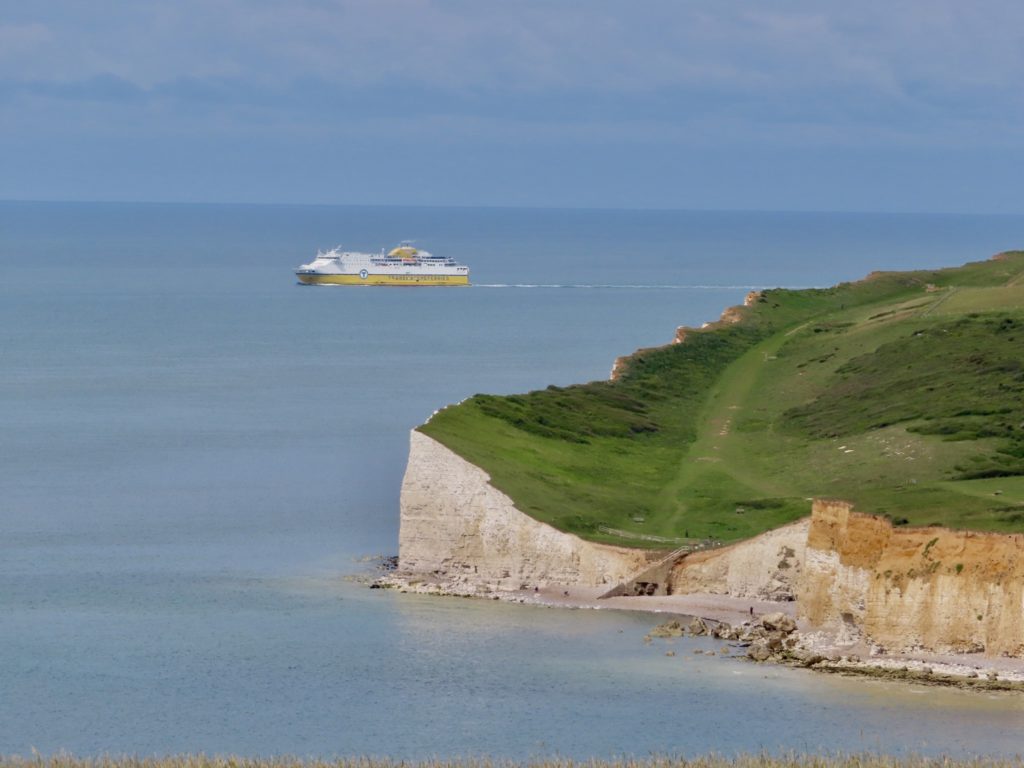
A ship coming around the corner of the ugly stepsister

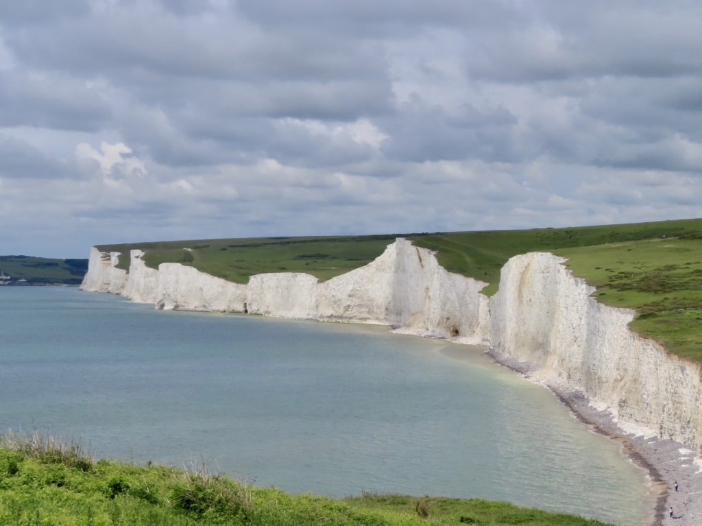
The Seven Sisters are a series of white chalk cliffs on the sea edge. They range in height from 50’ to 250’ of sheer drop. These are the same type of cliffs ranging up the coast to Dover. When the citizens of England rescued the army from the Nazis in WWII, boats from Eastbourne were part of that armada. We are on the English Channel across from Boulogne-sur-Mer which is just south of Calais. The English army was pinned down just a few miles up the French coast in Dunkerque.

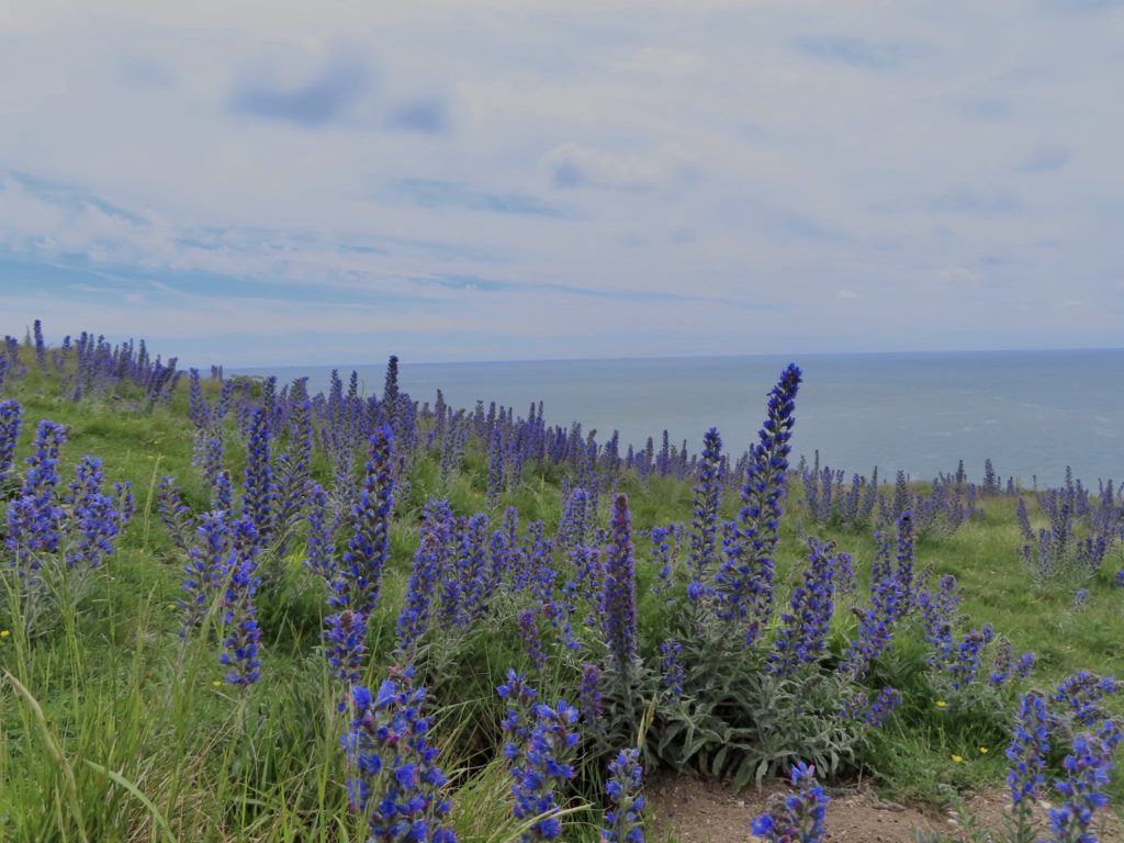
Lupine by the sea

The first sister (Haven Brow) is the steepest and tallest. From the top of the first sister, you can see portions of the rest of the family. It’s easy to see that some of the sisters are feeling the weight of there age. To say the cliffs are vertical is not quite accurate. It’s easy to see the tops of some of the cliffs extend further than their bases. These are collapses waiting to happen. It also makes Bunny and me very cautious about getting close to the edges. 

Birling Gap ahead

For accuracy’s sake, I will give the names of all 7 sisters from West to East and then never refer to them by name again. The sisters are: Haven Brow, Short Brow, Rough Brow, Brass Point, Flagstaff Brow, Bialy’s Hill, and Went Hill. I am well aware the truth and accuracy of my account is what keeps bringing people back to our adventures. Above all else, Bunny can be quite grumpy, Sassy IS NOT a morning person, and Bear is detailed driven. Nothing but truth revealed in this missive. 

The weight of my backpack is just about a perfect balance for my stomach

The third sister housed a coast guard station about 150 years ago. The only visible remnant of this is a cave dug out of the bottom of the cliff which was both boat storage and launch. 

Three caves visible. Furthest was used by coastguard

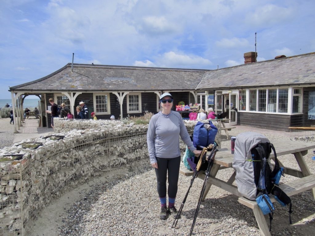
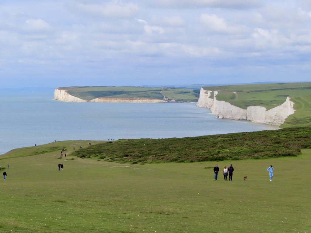
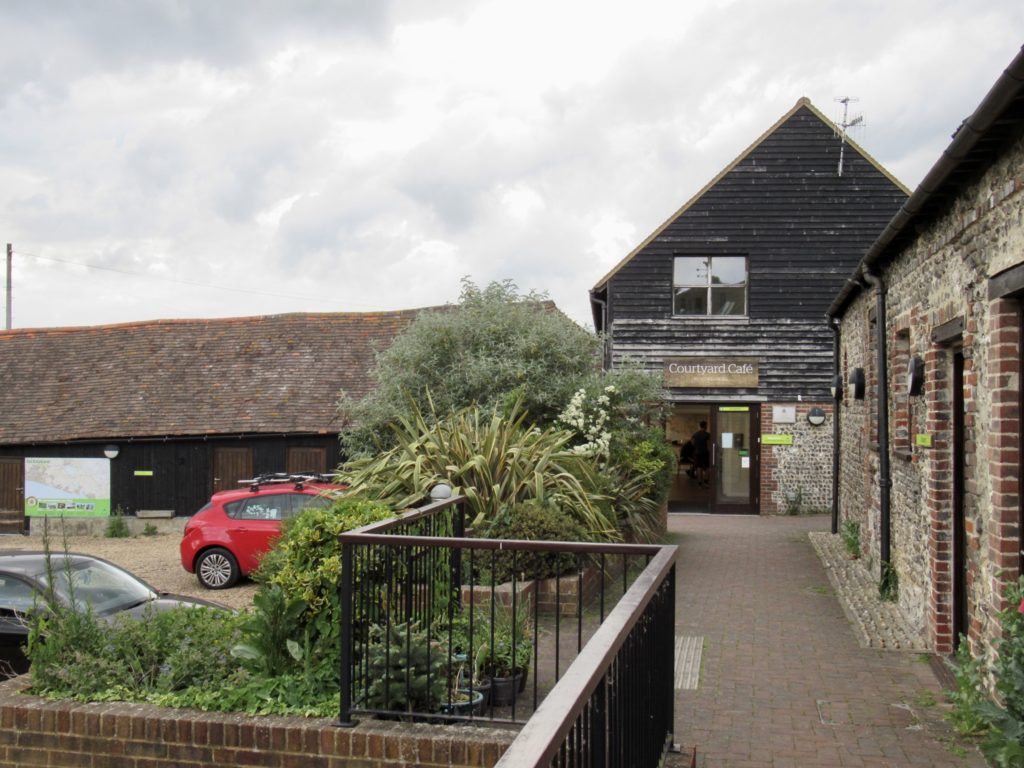
Birling Gap marks the east end of the Seven Sisters. The National Trust provides a huge service by maintaining and keeping open on Mondays, a rather nice cafe. There’s also picnic tables, toilets, and a public beach here. There’s a fantastic vantage point from here where all Seven Sisters are visible at once. 

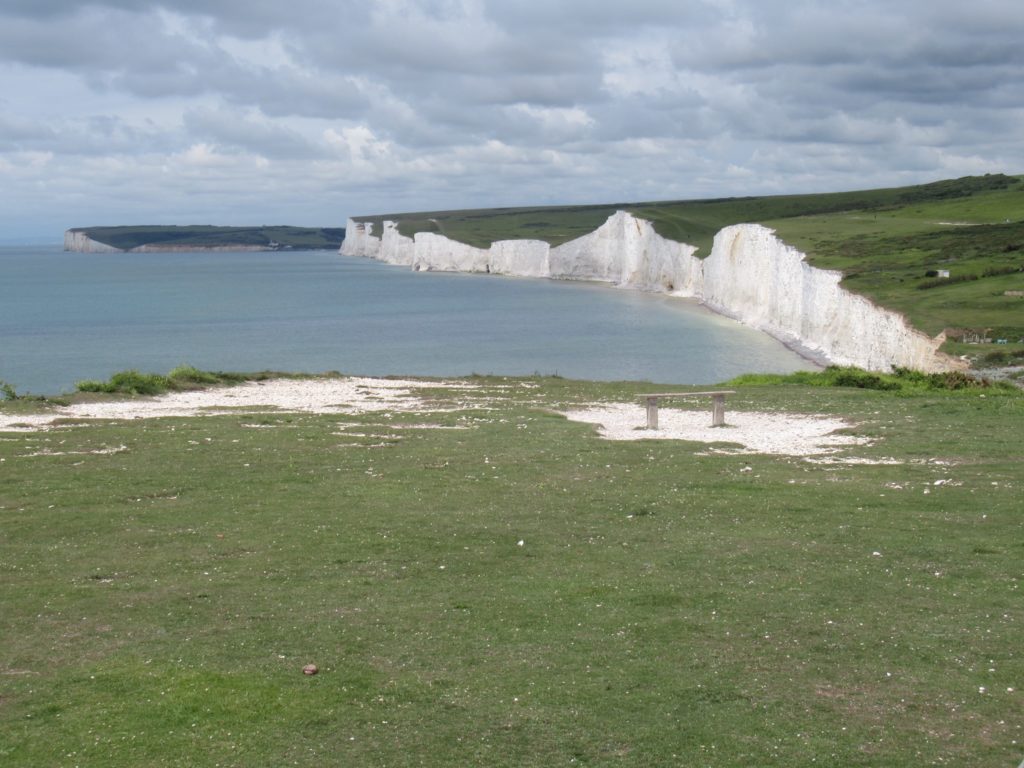
Slightly wider view of all Seven Sisters

From the first sister, it’s possible to see the Belle Tout Lighthouse. It’s becomes an object of focus on which to mark one’s progress along the walk. This lighthouse is no longer in use other than a bed and breakfast. Rumor has is that there is a cafe open to the public, but apparently is closed on Mondays. (Thank you National Trust for not being lazy.)

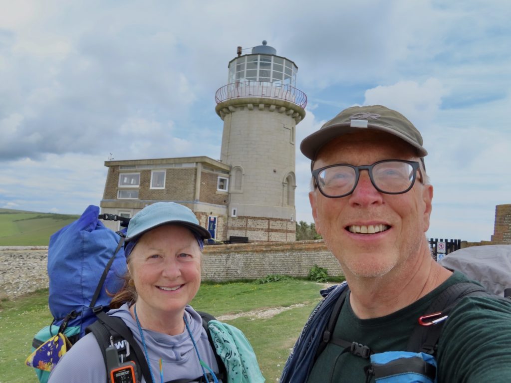
We made it and the cafe was closed

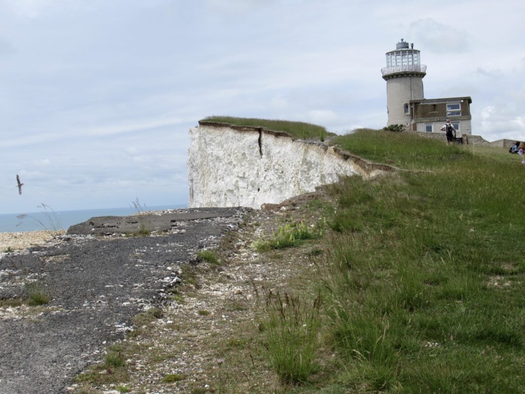
In 1999, this lighthouse was actually moved back from the cliff edge 55’. Since then, the cliff has not stopped falling into the sea. The lighthouse will have to be moved again before century’s end. This is abundantly clear when looking at the old path of the South Downs Way. A couple of sections have fallen into the sea and cracks in the chalk face are clearly seen.

A large missing section of cliff with cracks forming

I saw people climbing on top of the 5th sister as we passed. There’s exposed chalk at the top. I wondered over and looked where they walked on the chalk and could see sea between the cracks and where they were walking. They were oblivious to how close to death they were. 

West beach at Birling Gap

There is another cafe and free museum at Beachy Head. This cafe is almost to Eastbourne, so we just stopped in for a bit of shade. Wondering through the museum, I discovered the South Downs were the first area to emerge from the glaciers at the end of the last ice age. Humans began settling here then. It’s too bad Betty White died this year. We lost our last first hand accounting of those events. 

Cafe and tourist area at Birling Gap

The prevalence of flint in the area led to spread of technology through this region that we have witnessed hiking this trail. Many of the tools discovered dating back almost 10,000 years are very similar in design to what Europeans found in the American Native population dating back 1000 years. 

That’s a great day’s walk

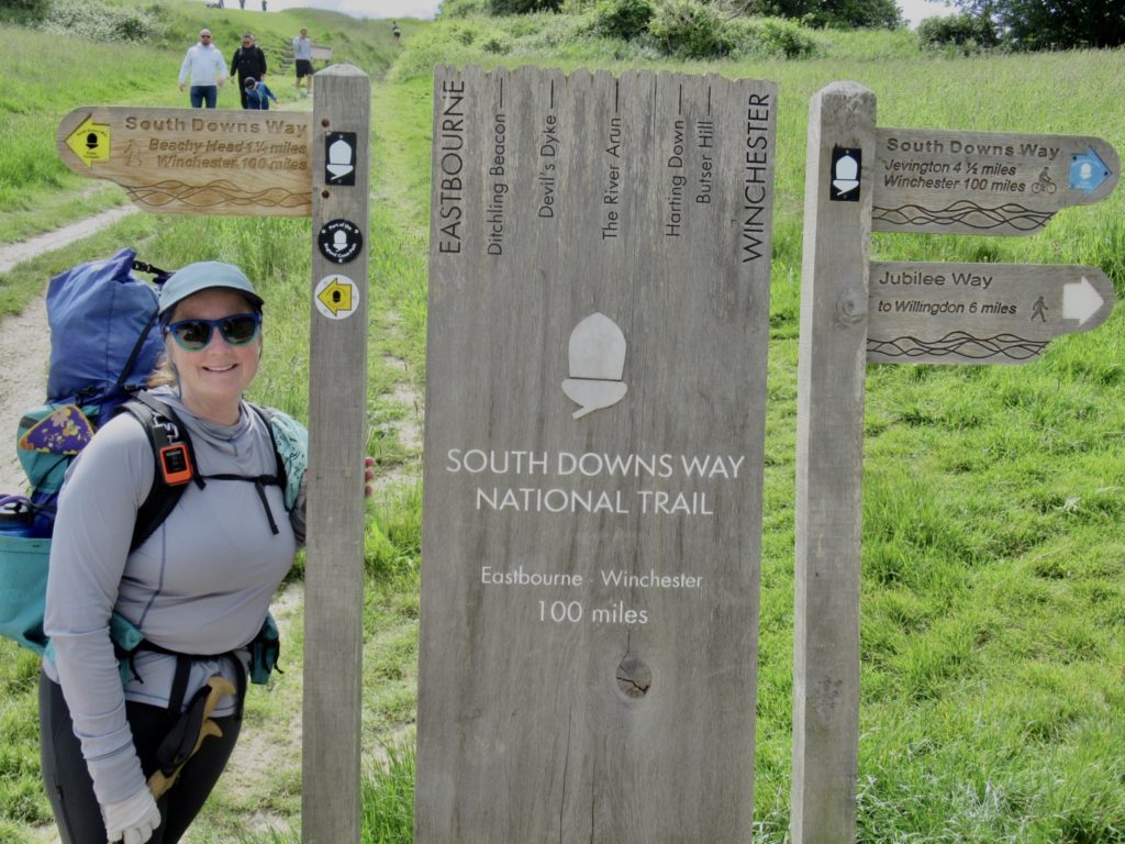
Our hike was pretty much over after Beachy Head. We had a pleasant mile of grassy walk along the shore to the end of the trail. After we got our pictures at the sign, we wanted to celebrate with a beer. A cafe was conveniently located adjacent to the trail, but they didn’t sell alcoholic.  We made the biggest mistake of our trip. We decided to walk on to the hostel.

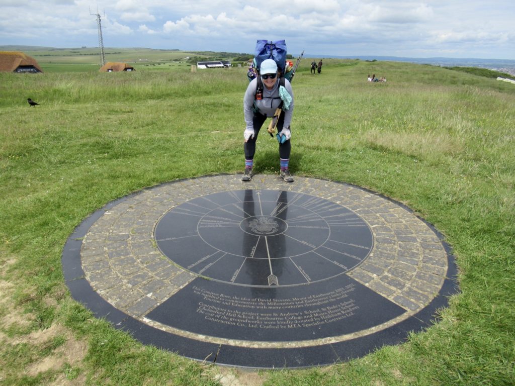
Compass near the end

YHAs are great. They are generally conveniently located. There’s usually only one in an area. I called up my Apple Maps and found 3 locations on the same road. We tried to use Apple to guide us, but the maps kept getting confused and rerouting us. What was supposed to be a mile walk turned into a 3 mile walk and took us back onto the South Downs Way, but we made it. 

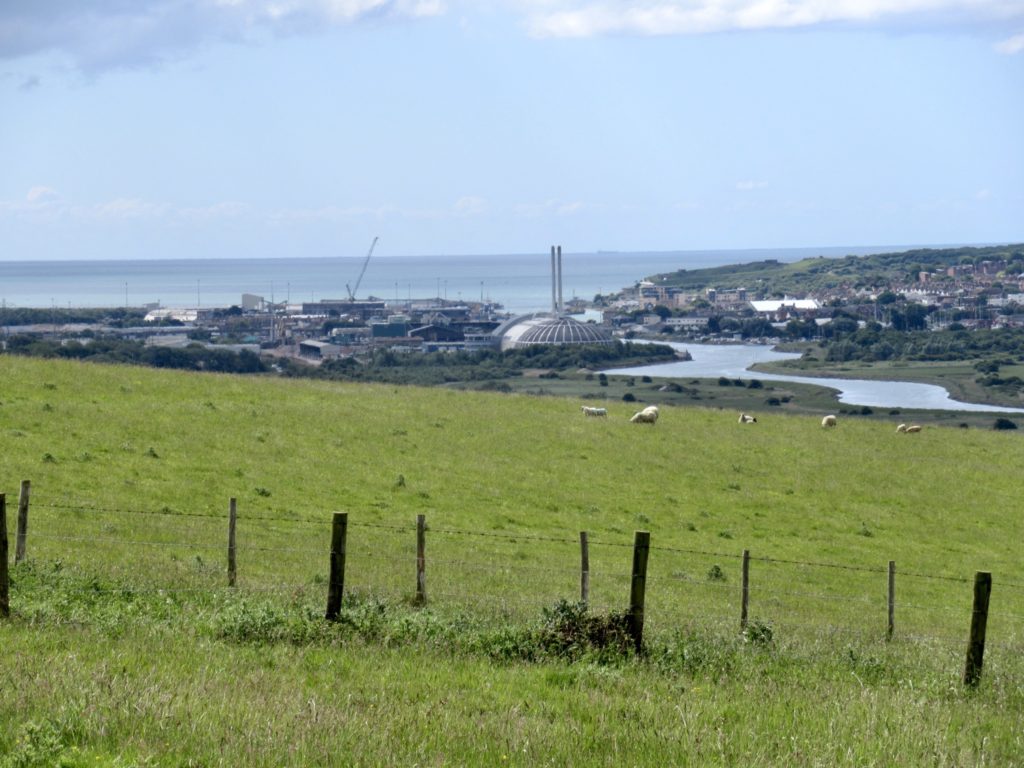
Eastbourne has been sighted

The caretaker let us in almost an hour early. Bunny and I started a load of laundry and took showers while waiting for Bear and Sassy to arrive at 5. I was texting them as they walked here. At 5:40, they still hadn’t showed. Bear called the hostel for directions. They were having trouble with Apple Maps and ended up on the South Downs Way. I felt better now that Bear was having the same problems. 

I made it too, but someone had to take the picture

We all agreed, over Indian food at supper, that the hardest part of the entire trail was making it to the hostel. The last day, coming over the Seven Sisters was a dramatic and exciting end to the trail. This was a great trail to try out Bunny’s new hip, both of which performed better that expected. 

That’s all for this trail

EFG

Day 9, May 29, Outlaw Camp near Westdean, TM 90.2–(8.6 miles)

After several days, Joel gets terrified by Bunny and makes a run for it

It’s easy to get sucked into an outlaw lifestyle when you’re roaming the English countryside. I was never like this before I met Bunny. Now, I’m part of a outlaw brigand in England. I’m sure we’ve made international news by now. The infamous outlaw duo, Bunny and Easy Clyde. I’m thinking we might even hijack a few late night trail walkers and demand…a million squares of toilet paper. 

Tell me there’s not a sheep “master plan” look at their leader contemplating the next move as he views their domain

If Covid showed us anything, it’s tp is the first thing people want in a time of crisis. We can become the modern day Robin Hood and Maid Marian passing out tp to the poor. Our motto will be “wipe your asses on us.” No one will bother pursuing us, afraid of the potential smell. We’re outlaws and living legends at the same time. 

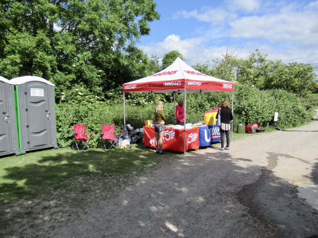
Runner check point, they’ve already run 50k by the time we start hiking

It took a bit of planning to get here. It started as most true crime stories do…we were having breakfast with an Englishman. I was explaining to Joel that if we stopped in Afriston for the night, it would be too long of a hike over the Seven Sisters for Bunny tomorrow. There’s a lot of climbing involved. He assumed we needed more adventure in our lives since he’s been telling us which British crime shows to watch.

This doesn’t look good for an alien invasion…human carrying dog cross country to where dog wants to go

Joel suggested that we camp in the woods above Westdean. If anyone bothers us, being Americans, we should just pull out our bibles (which are merely props for hiding our guns) and blast our way to the sea. I’m wondering if Joel watches a lot of American crime shows…

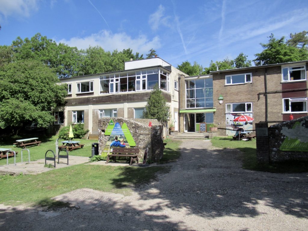
Where the plan was hatched at YHA

Bunny was in from the get go. She was getting excited and having flashbacks to her days on the GR10 when she began her buffet raiding. She’s been a changed woman ever since. I took a bit more convincing, but her slapping me in the face in front of Joel to make me “man up” was all it took. (At least I finally have a witness. Coincidentally, it was immediately after this that Joel told us he was taking the inland route to finish. Bunny scared him bad.)

We spent many a meal with Joel on this trip. You could say he was our mastermind. We followed his plans for several days.

Bunny started flying out of the hostel this morning filled with anticipation. We immediately came upon another running event today. Yesterday was kind of the sissy warm up (Bunny’s words—not mine. I know better than contradict her when she gets this way) a 100 mile relay romp across the South Downs Way. Today was the real event. A 50K and 100K race ending in Eastbourne. Her enthusiasm soon ran out when we were being passed by runners going uphill who could carryon conversations at a full trot. 

Last glimpse of Brighton

I was hopeful that the runners, hang gliders, paragliders, weekend revelers, and support teams for runners would mean more mobile cafes. Not so today. Yesterday was my day. Today is Bunny’s. It was only 7 miles to Alfriston, so we’d just have to make it in a single go. 

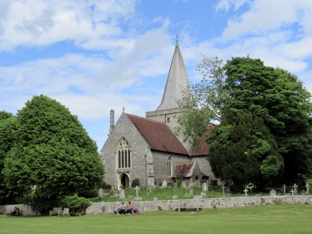
Church in Alfriston

Dropping down the final push into the village, a small all terrain vehicle pulled up next to us. All of the runners had passed us by now. The farmer inside congratulated us for hiking the South Downs Way. We found out he had been born and raised in Alfriston. Every day, for the last 40 years, he has made two trips a day up to the Downs to check on his sheep.

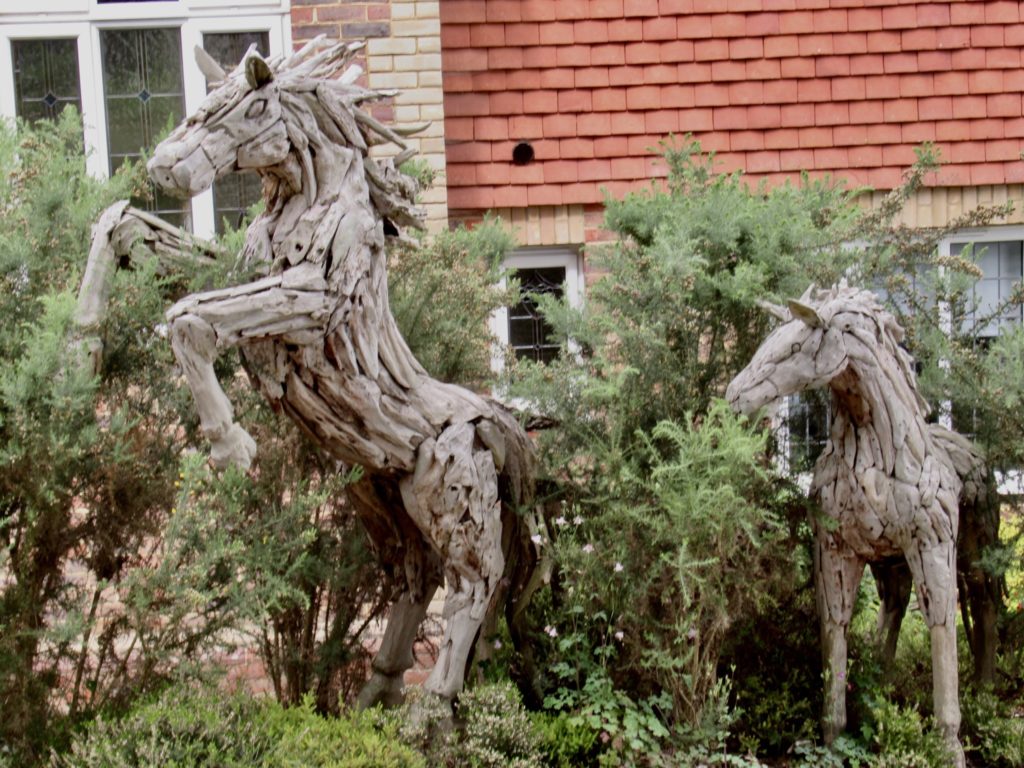
If Jason and the Argonauts had horses

Alfriston, we have been told, is in competition with Amberly and Ditchling as being regarded the prettiest village in South Downs. We missed Ditchling, but hands down, Alfriston is the winner. For one thing, it has a river running through town. For another, it has multiple business establishments—at least a half dozen places to eat that we saw on our short walk through town. For another, it’s charming as hell. 

First business you see when entering Alfriston

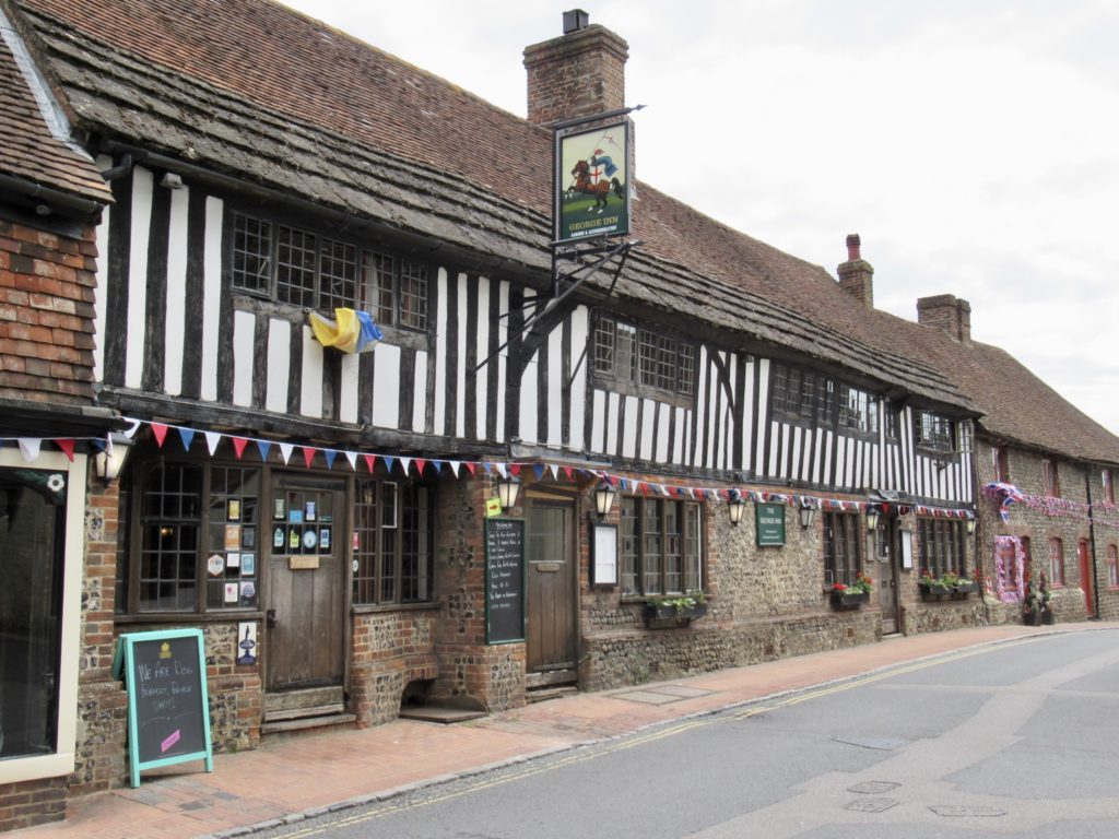
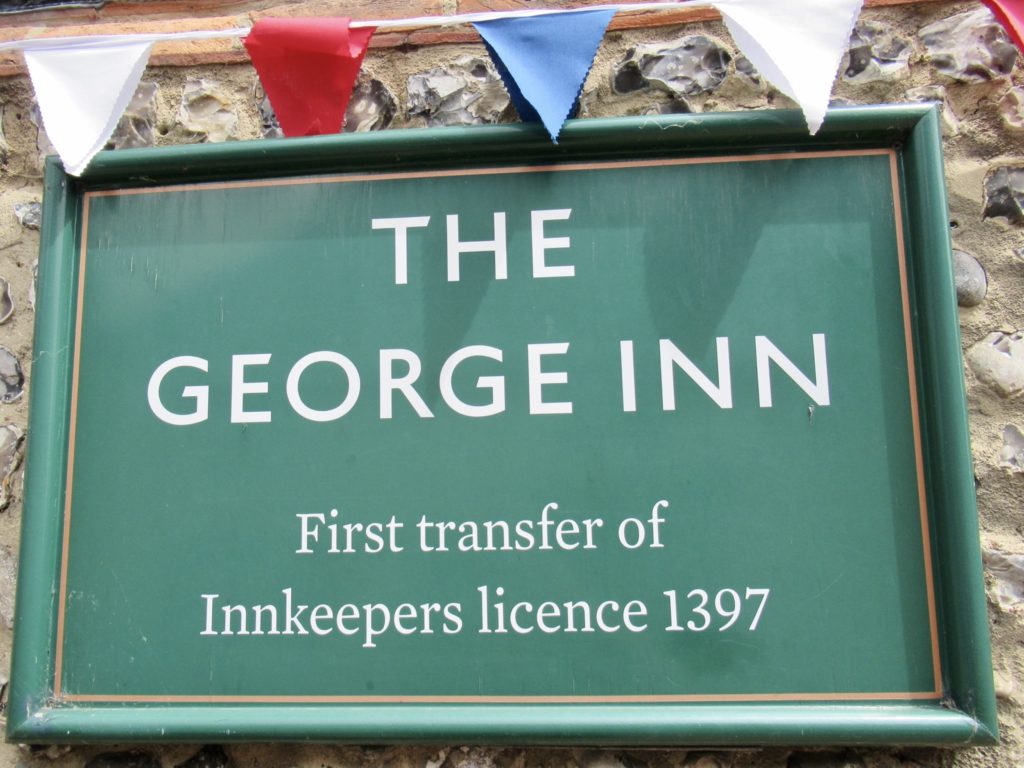
The first place we saw was the George in, dating back to 1397. It’s also the place where Bear and Sassy stayed last night. We tried to go in for a meal, but this was a very classy place. They refused to seat us. They obviously have standards. I like that.

600 years in existence and we still can’t get a table

We headed out to explore some more and ran into Joel talking to some other people. I recognized the man he was talking to. He was a biker. He had passed me up on the ridge and asked if we wanted to have lunch in Afriston. I was about to say “that would be nice” when the woman he was riding with chimed in. Now that we were all together, we tried to accept his offer, but he and his wife had already eaten. 

Runners were much more talkative today if we could keep up…we couldn’t

Joel walked us out of town, probably to verify which path we were taking to make sure he was safe tomorrow. On the way out, we ran into an old friend about to celebrate a major milestone. We stopped and congratulated her. It’s always nice to see little people make contributions. 

Nice little old lady…she’d fit in well with our wine club on Fridays

We had tried to find one last cafe to sit in with Joel, but it turned out to be closed. I just couldn’t get the urge for another sit down out of my system. When we got to Litlington, we heard what appeared to be a party. Bunny agreed to stop if it wasn’t private. We rounded the Costner and found the Ploughing and Harrow. It had a lovely beer garden out back. We stopped in for a glass of wine to seal the deal on our night of crime. 

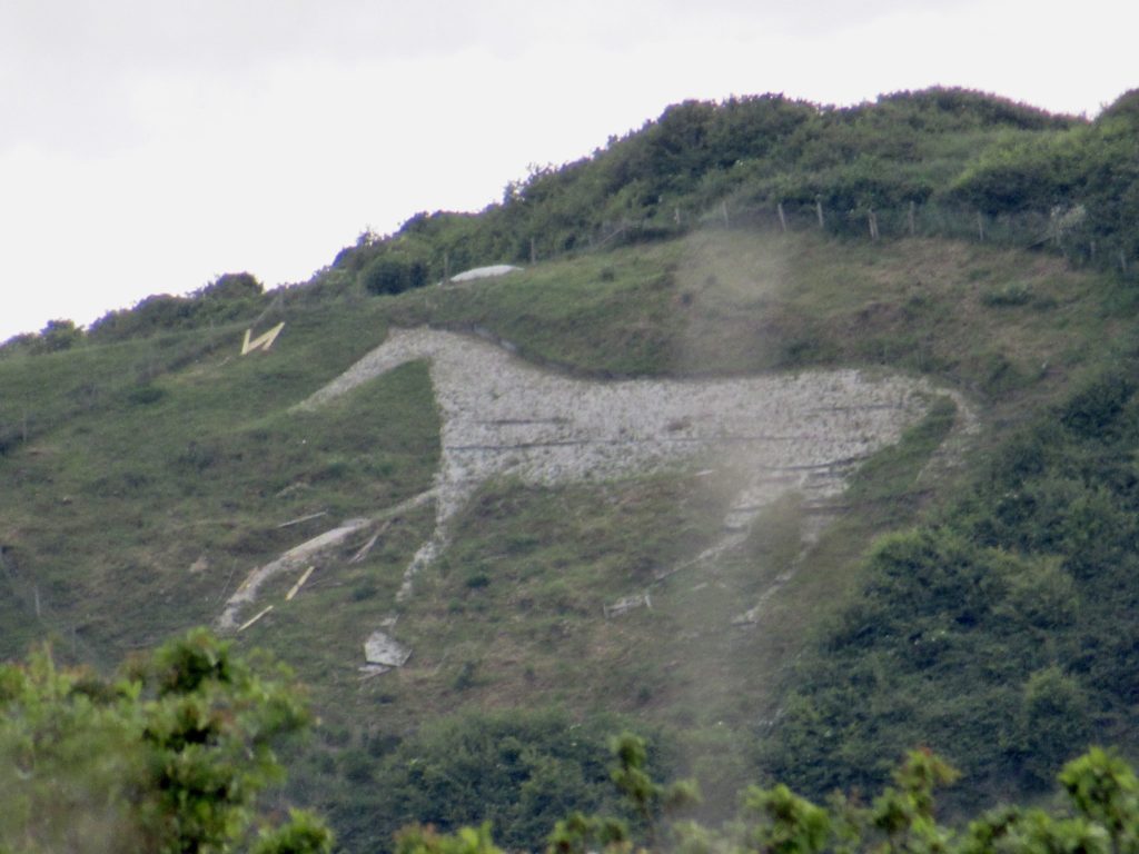
Chalk horse born in 1924

Everything happens for a reason. We were meant to stop at the Ploughing and Harrow. The wine was our savior. Not because we haven’t had a drink for a few days, but because as soon as we got our wine, Bunny looked up and noticed the sky. We calmly got out our rain gear and pack covers while heading to the covered seating area. No one paid any attention to us. We quietly sat back down and sipped our wine. The rain started. 

Bunny contemplating choices at Plough and Harrow

It came easy at first but gradually picked up. Then the downpour came similar to our 4th day on the trail when we were heading down to Cocking. It hailed for the second time on us. We’ve been told it rarely hails in England. I guess we’re good luck for England. 

Bunny getting ready to plough

At most we had another mile to go after the Plough and Harrow. I wanted to hike into Exceat and try to camp there. Bunny wanted the outlaw experience she had been dreaming about all day. We came to a set of dirt stairs in a thick woods. At the top of the stairs was a multiple trail junction with a huge area suitable for camping. We headed off into the woods another 50’ and found several sites that have been camped in. Perhaps the rest of our Merry Men will join us later. 

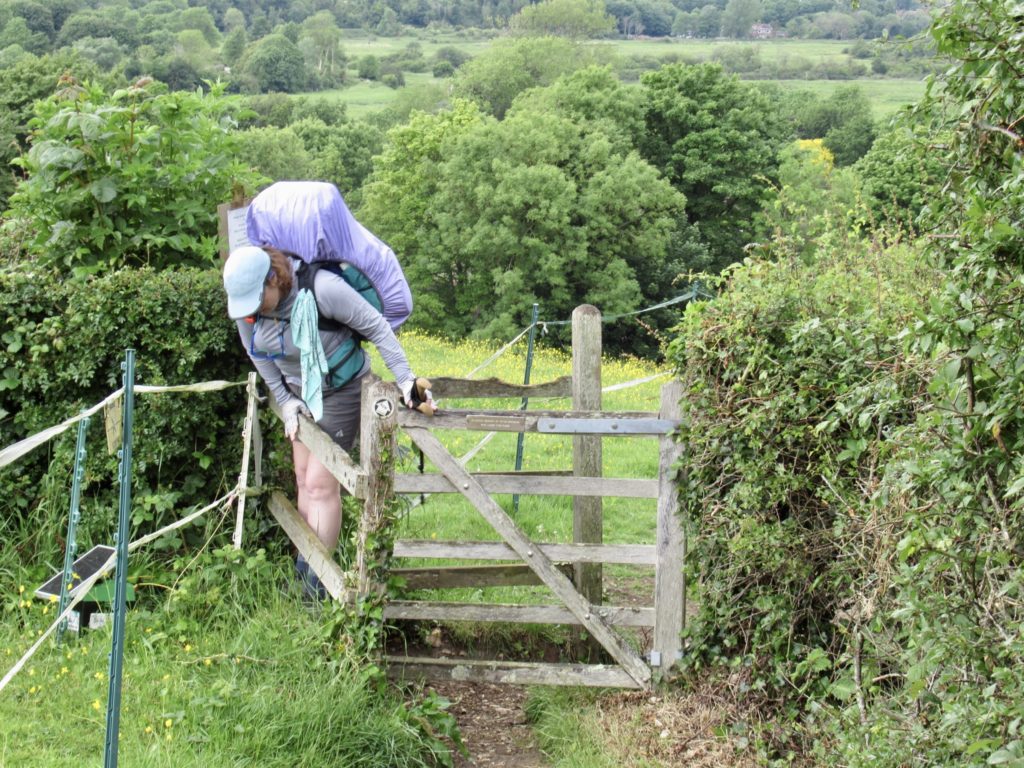
Kissing gate or Bunny trap? You make the call

All day long I’ve been hearing the humming of a tractor wherever I go. When I set my pack down and opened it up to pull out the tent, it got louder. I’m carrying a true, non-ultra-light luxury this year. We will be hiking the Portugues Camino in late June. I’m sure it will be hot as will be the Alburgues. Yes, I’m carrying a USB rechargeable fan. Who knows how long it was running today, but the main thing is that it’s still running. 

We weren’t the first to camp here

We’re all set up deep in the woods. The sherif is going to have a hard time finding us tonight, but, if he does, we have our bibles and aren’t afraid to use them. We’re Mericans.

EFG
Day 8, May 28, YHA South Downs, TM 81.6–(13.7 miles)

Even if long, a great day of hiking

We knew this was going to be a rough day without any cafe stops along the way. We’re following Joel’s lead on where to go. The YHA is the only logical spot for us even though we couldn’t get a reservation there. So we’re looking at a long day, no stops, and a late start. I can’t blame Bunny for the late start, dammit. 

Great views today

I bought a frozen sausage roll for breakfast knowing that there is a microwave at the campground. What I didn’t know is that the microwave is in the laundry room and it doesn’t open until 9a. I offered to forego the roll if Bunny would split her pop tart with me and she refused. Aha! I can blame Bunny for the late start. 

Starting to be able to catch a glimpse of the chalk cliffs

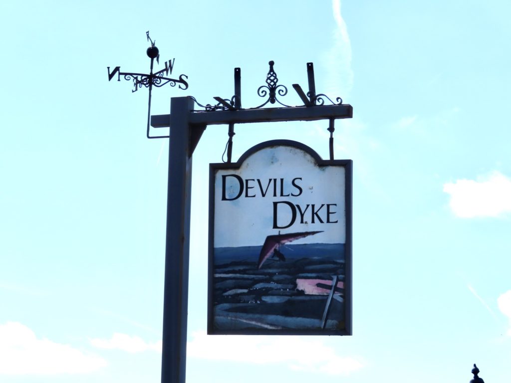
Joel and I were talking to an older English woman who worked at the caravan park (campground). She has a bad sense of direction. She’s tried to make it to Devils Dyke several times and gotten lost every time. We came by it yesterday without incident. I’d even trust Bunny or Sassy to find it, that’s how easy it is to navigate. Honestly, from her speech patterns, I think she might have had a bit too much fun when she toured Asia in her 20s. 

Brighton

The climb down last night was steep. In my estimation, the climb back out this morning is the worst on the entire trail. I clocked it as a 600’ loss/gain in a half mile, giving it a grade of 1200’/mile. Not quite Whites on the AT but equal to the worst on the PCT. This will put Bunny’s hip to the fullest test. 

Lots of support for Ukraine

Normally, every person we meet on the trail is very friendly and, at a minimum, responds when we say hello. Upon reaching the trail after our climb, a couple of runners blew by. We said “Hello” but neither responded. A few minutes later another passed, and he at least gave us a thumbs up when we spoke. We could see a couple more approaching and realized that we had stumbled into the middle of a race. I couldn’t quite read the number, so I acted like I was taking a landscape picture. When the next runner passed us, I took the shot and was able to decider that this was a South Downs relay. They are running the entire trail today. Bunny delayed us enough that they have already gotten 30 miles in. 

If the others were Jack and Jill, might this be Spot?

We made it to a trailhead carpark and it was packed. This was a relay handoff point. It was also near Ditchling Beacon which was an old signaling point in medieval times, meaning, this was a high point and the paragliders were out in force. But best of all, when there’s that many people in one location, there’s a good chance an enterprising person will have a mobile cafe. Yea, yea, it’s impressive to have runners going 100 miles in a single day and it’s exciting to watch people jump off cliffs, but my cafe stop tops all that. 

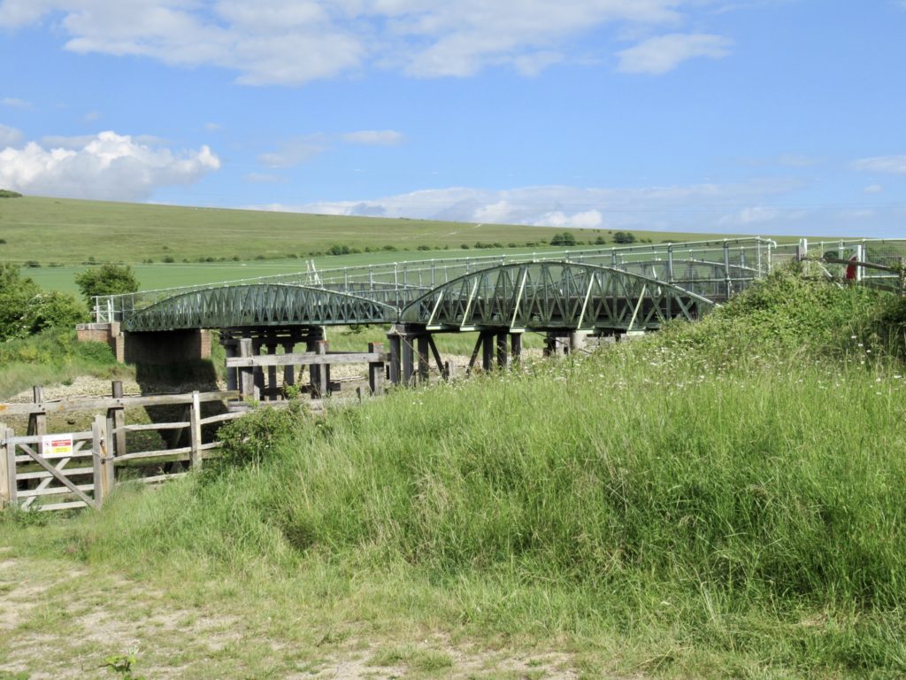
Pivoting bridge

A mile later at another carpark was another cafe. This one was all pink, but Bunny insisted we had to make some miles today so she nixed it. It’s cafe feast or famine on the SDW. Today was an unexpected feast when I was expecting a famine. Life just doesn’t get any better than this. 

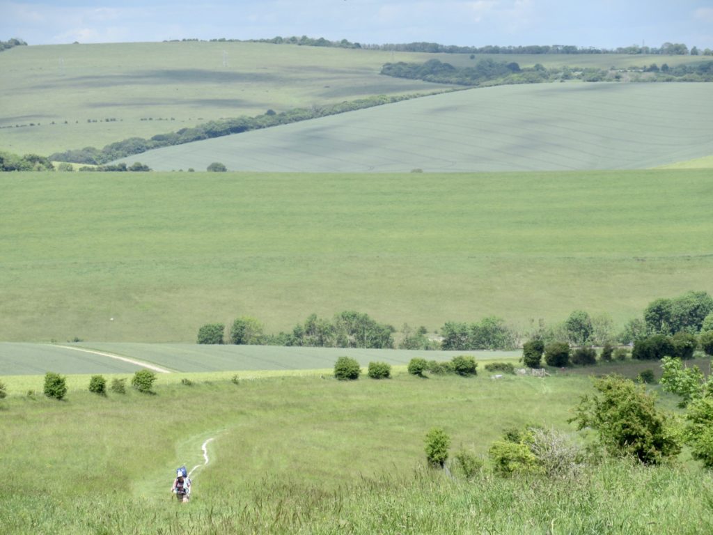
So much green…South Downs National Park is a working landscape

I tried to avoid specifics when talking distances with Bunny today. It wasn’t intentional, but Joel and I misrepresented the miles today. We just under-rounded. Bunny was thinking 12 miles when it is much closer to 15. Instead of saying how far we’ve gone, I’d say “we’re almost halfway”. If I can keep putting her off until we’re under 5 miles to go, she might not realize it. It worked with Sassy last year. We got her to put in an 18 mile day when she was thinking 14. I don’t care what it costs Bear after the fact. 

Sun streaks through the clouds

Housedean Farm really is about halfway. I didn’t have to lie to Bunny when she asked that. When she said “only 6 more” I got distracted by a group of people we had passed earlier approaching. We had found our third cafe, and I was pretty confident, our last cafe of the day. We split a chocolate croissant and a couple of cold drinks.

Housedean Farm Cafe…when it rains, it pours

It was not even 1 yet and we had 7 1/2 miles in in about 3 1/2 hours. This is pretty good for us in most circumstances. The afternoon’s hiking didn’t look bad once we got back up to the ridge. Near the top, we found a memorial bench for a couple who had farmed this land for over 60 years. How could we not sit and ponder them?

Bench Memorial to a farmer and his wife who maintained the land for over 60 years

The ridge walking was a cake walk (yes, we were promised cake). We could see several villages below and the sea ahead. We are getting near to the chalk coast…the Seven Sisters. We will pass over them on our last day, but we are catching glimpses. 

Exposed chalk side of ridge

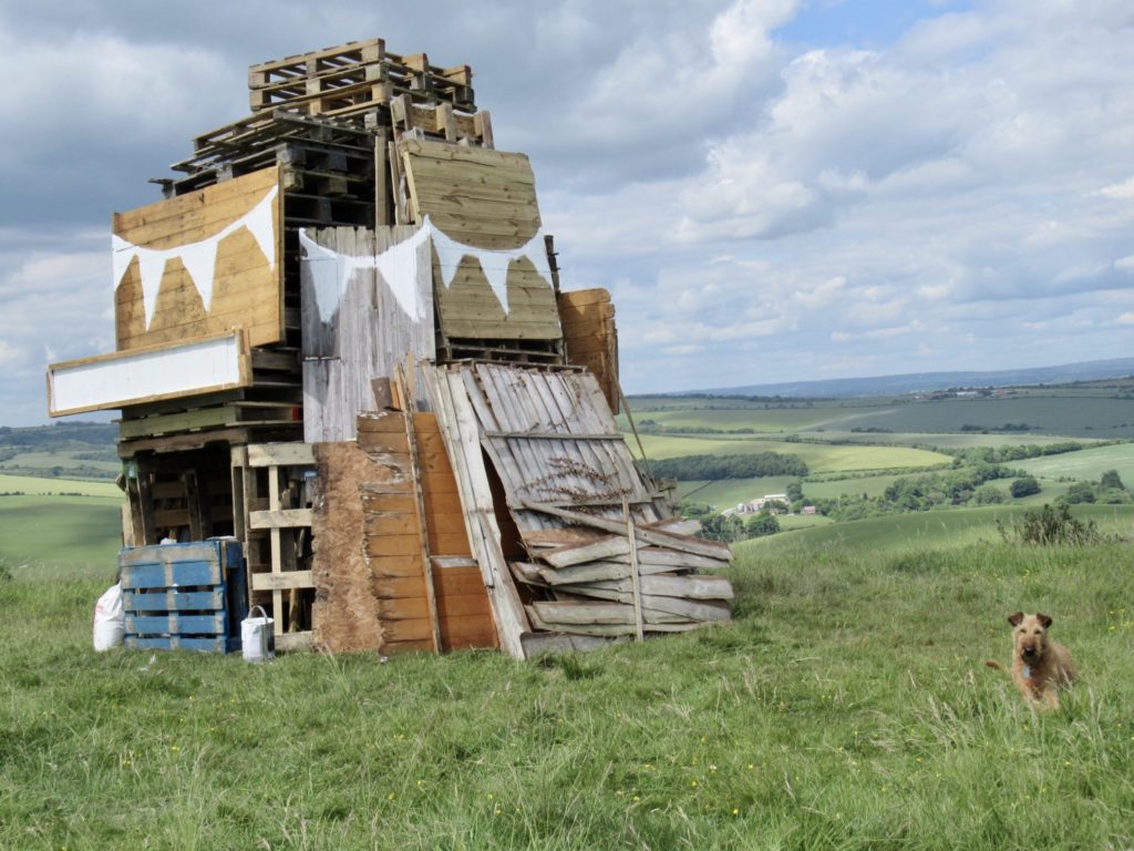
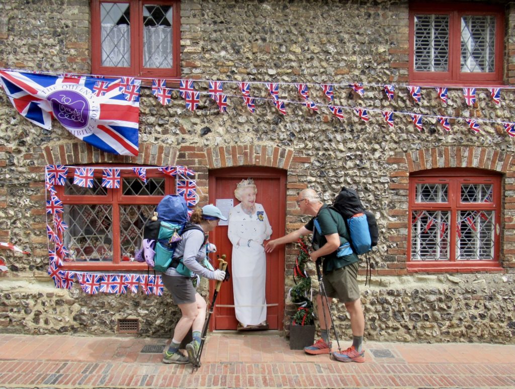
Ahead was a structure we couldn’t make out. It looked like a mini-castle made out of…wood pallets? Could this be an indication of how Charles plans to rule? Is this Camilla’s first commission? We saw a man wandering around it, so we asked what it was. This “structure” is going to be a pyre. At 9:45p on Thursday, June 2, all around the country, these pyres will be set afire in honor of the Queens Jubilee. The last time signals like this were used was when the Spanish Armada was attacking England..

To be a bonfire on Thursday, June 2 at 9:45p…hundreds all around England

We didn’t plan it or think about it, but we are very fortunate to be in England to celebrate the Queens 70th anniversary of ascending the throne. It’s astounding to think she came into power when Winston Churchill was PM. She has seen a lot in her reign. 

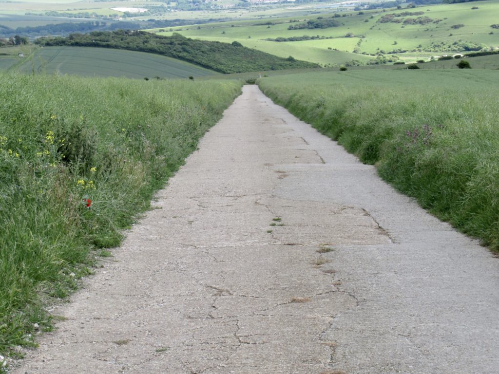
Road lined with rape seed on both sides

It had to happen. As we were heading downhill after a picnic lunch overlooking the villages and listening to music wafting up from below (we assumed preparations for the jubilee), Bunny finally asked to see the map. She implied she couldn’t trust what I was telling her. I gladly showed her the 2.8 miles we had left to go. 

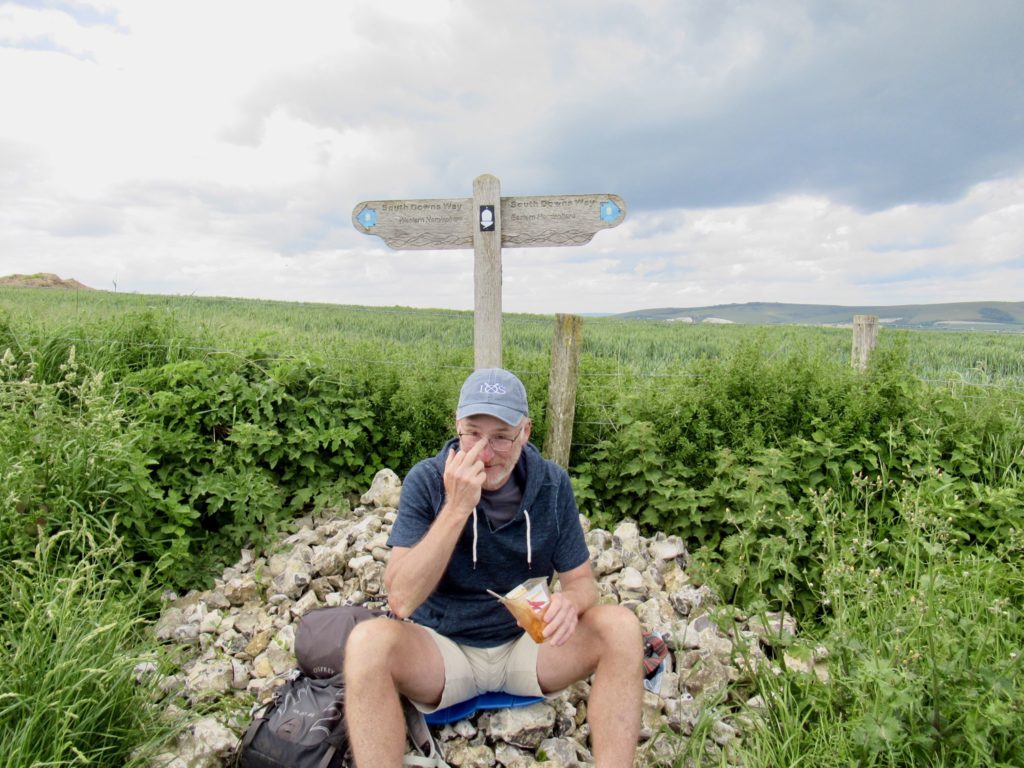
Crossing the Prime Meridian…I’m pretty sure he was just pushing up his glasses

When we reached Southease, I started scouting places we could wildcamp if the YHA didn’t have room for us. I found at least 4 spots that would do, but wouldn’t be great. Worst case scenario is we go eat supper at the YHA, come back and camp, get up early and eat at YHA again. Bunny was reluctantly on board with the plan. I told her the best way to avoid this is to turn on the waterworks the second we hear no rooms available. 

I’m sure they have a spare room for us if the hostel is full

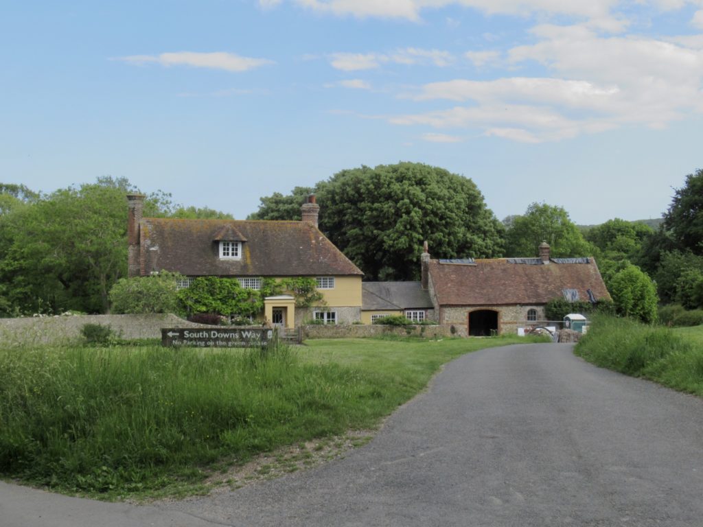
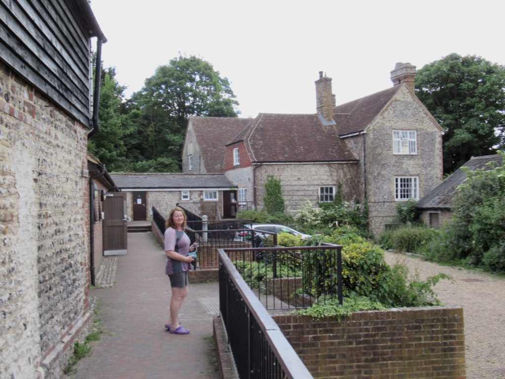
The South Downs Hostel is in an old farm complex. Several barns have been converted to sleeping rooms and the old farm house holds the common areas as well as sleeping rooms upstairs. For being full, it surprisingly quiet here. We went into reception and I put on  my nicest “tired as hell” look and mentioned my wife’s new hip a couple of times. The woman told us they were completely booked, but she’d take care of us. We can camp out back. Good enough for me, and Bunny didn’t even have to cry. 

Old farmstead converted to hostel

EFG
Day 7, May 27, South Down Way Camping Park, TM 68.3–(7.6 miles)

Back in the cafe groove

Hostels are the best. I don’t mind sharing a bathroom to save £80. For half the price of what we paid at the last pub we stayed two nights ago, we got a 4 bed room to ourselves, access to laundry, hot showers with towels, super, and breakfast with unlimited coffee. They even sell alcohol at reasonable prices. 

YHA Truleigh

We had arranged for breakfast at 8. We got there a few minutes past (it was difficult to get Bunny going this morning). The last two days are the longest days Bunny has put on her new hip. The hip is holding up better than the rest of her. She tried to talk me into a zero day and I negotiated up from there. Luckily, when we went in for breakfast, Joel (from Hastings) was there so we shared a table with him.

2/3 of the way

He talked Bunny into a 9 mile day. He showed us the location of the camping park he was planning on staying tonight. It was over a mile off trail, but the rest of the day up to the turn was heavenly. We’d be able to cafe hop the entire way. 

We are close to the ocean

Joel has been following the latest events in which the US is leading the world—school shootings. He mentioned an interview Ted Cruz had with the BBC in which he left the interview when asked why school shootings are a phenomenon in America. I tried to explain that school shooting are the price we pay for freedom and that we just need more guns to solve the problem. Yes, it sounds completely asinine to me when said out loud. I suppose the point is just to keep trying for bigger records since there’s no political will to address the problem. The last shooting was only worthy of a silver medal in 2022. 

First cafe of the day
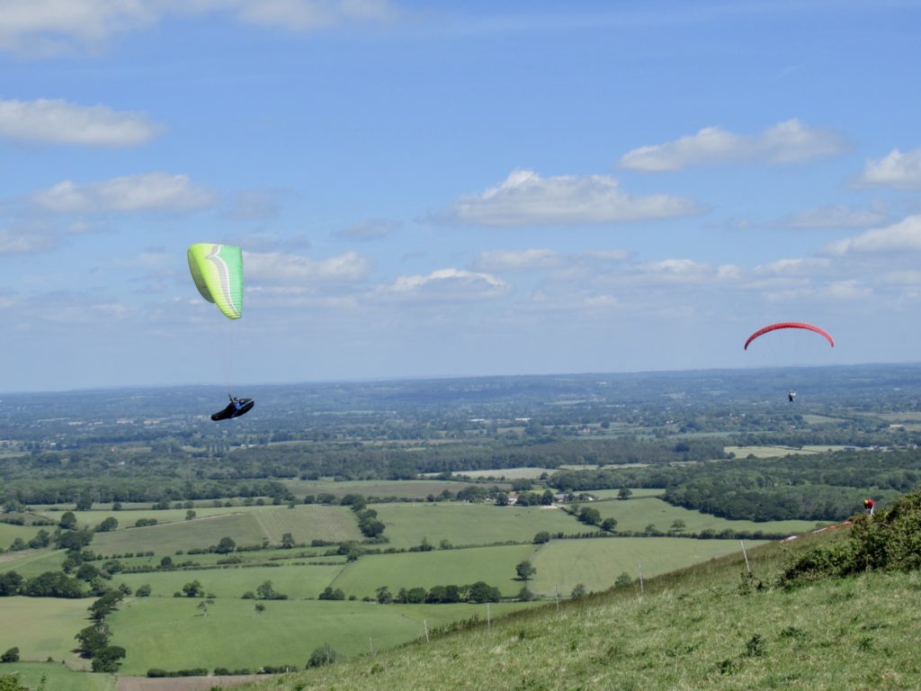
Paragliders abound at Devils Dyke

I texted Bear that Bunny had agreed to hike today. We were almost ready to leave and wondered if they had left yet. He told us to go ahead and they’d catch up to us. They’re fast, but 2 miles is a big difference if they haven’t even left yet. We put on our sunscreen and took a few pictures. As we stepped into the road, Bear and Sassy appeared. He had seen me texting them from about 1/4 mile away. 

Some mmiscreants closed off the L to make a C…tee hee hee

I know I said yesterday was an ideal day for hiking, but today was better, minus the full sunshine all day. We had cafes about every 2 miles. Today is Bear and Sassy’s big day, nearly 18 miles. We aren’t even pretending that we’re going to try to keep up with them. Bunny’s soft tissue around her hip is just too tender. 

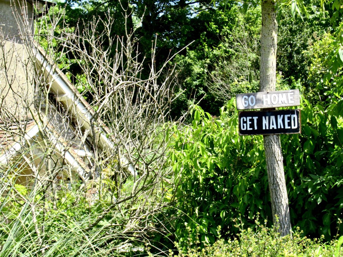
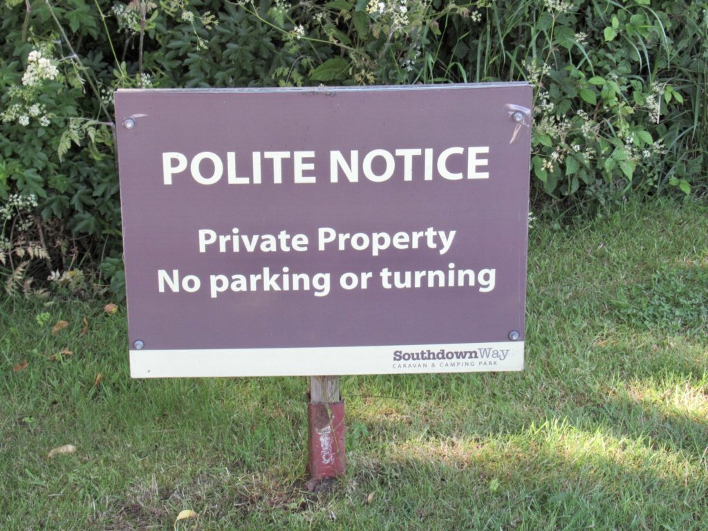
Very polite way of saying STFO

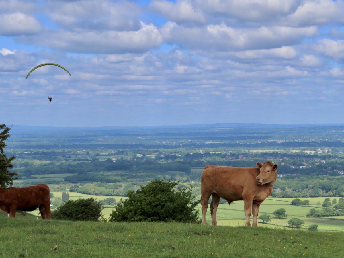
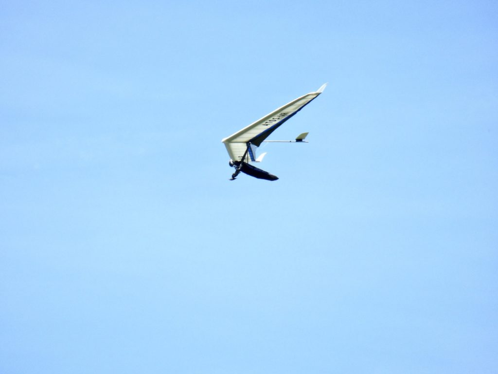
As the four of us walked along the Downs, we could see paragliders and hangliders circling overhead. The flight craze has really taken off for the masses. To think, just 120 years ago, flight seemed impossible. Today, people jump off the side of mountains with some fabric hanging behind them for sport. We tried to talk Bear and Sassy into taking a break at the Devils Dyke Cafe where all the action was, but the 15 miles they still had hanging over them made them refuse. We won’t see them for the rest of this trail. 

Bunny ascending Everest once again

We sat at this first cafe for nearly an hour watching gliders take off while we sipped our coffees and ate muffins. It hardly felt like we were walking. After the hour, we realized it felt that way because we weren’t. We checked the map and saw that the next cafe was less than 2 miles. Push on, we must. 

Hang gliders too

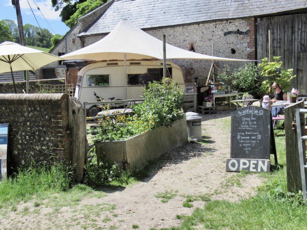
The WildFlour Cafe is a vehicle free location operated on the National Trust Saddlescombe Farm. The National Trust leases farmland out which is in full production. They hold several events a year for people to watch lambing and sheep shearing (among other events). We set next to an older gentleman who recognized us as not being locals. He explained he has been coming to Sussex in general, and this farm in particular for almost 75 years. He lives in the West of London and comes out for day trips because of the low cost of public transportation. It was past 1 and he needed to catch a bus back to Brighton, so we said our goodbyes. 

Wildflour Cafe

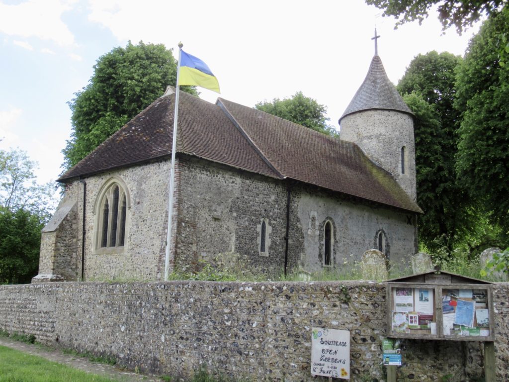
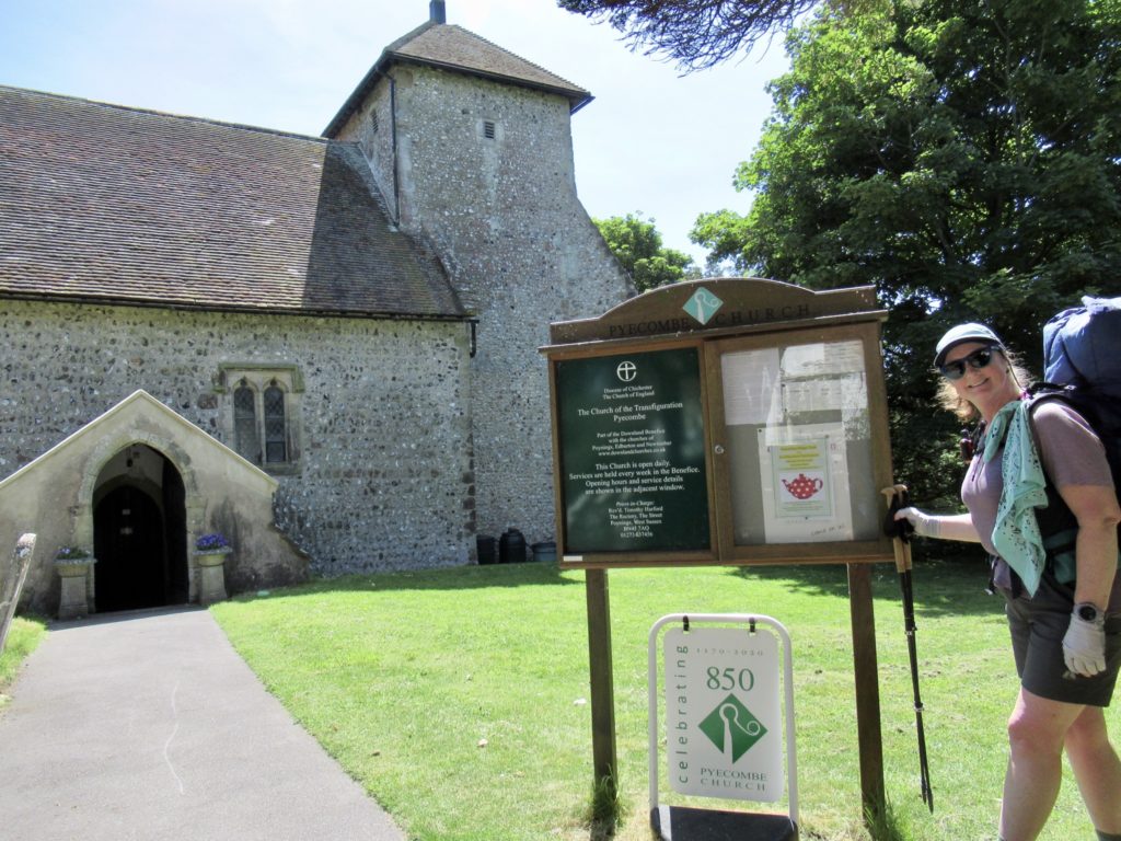
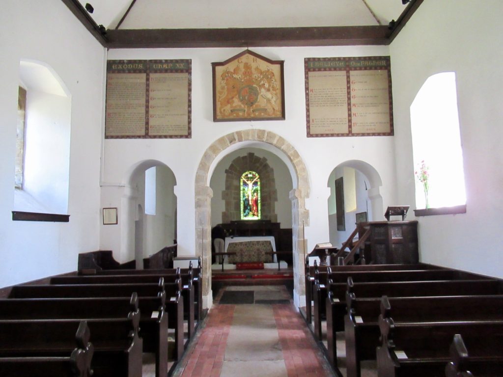
It was almost a full 2 miles to our next stop. The Church of the Transfiguration just celebrated its 850th year of continuous service in 2020. The congregation of this Norman church welcomes all passersby with an self serve drink (coffee, tea, hot cocoa, juice) which they leave in an open area inside. We toured the church and surrounding cemetery, but couldn’t read any of the tombstones older than 1790’s. I hope they’ve mapped the cemetery.

850 years of active services
Very welcoming to passers by

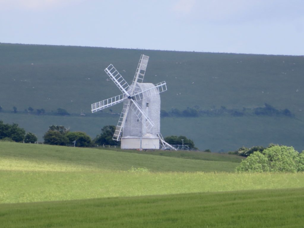
From the Downs this morning, we could see Jack and Jill in the distance. Jack has had better days, but Jill still looks good for her age. They are a pair of windmills from the earliest days of the industrial revolution when wind was king. Jill has been fully restored and is a working mill, but with no real schedule, it’s not worth the walk to see her. Jack is a private residence. 

Jack and Jill

Wind might be making a comeback now that the environmental impact of energy production has become a focus. Unlike the US which makes commitments to green house gas reduction, Europe is actually following through. All day long we could see a wind turbine farm as we walked along the Downs. The farm is located 9 miles off shore in the Atlantic. 

Elevated wind turbines

We had a choice to make, walk a mile and a half to our turn for the campsite, or play a round of golf in the Pyecombe Golf Club. Since the cheapest car we saw in the lot was an Audi, we considered it prudent to move on. We still had a price to pay for the campsite. That price was 560’. 

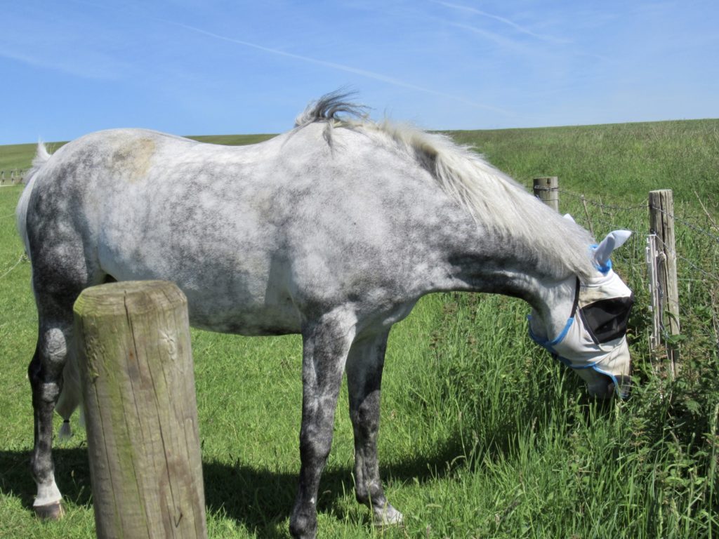
Blinders to protect his eyes

It might have been more prudent to stay on the ridge and walk another mile or two. The biggest drawback to that option was lack of food and water. We’ve played our luck out today cafe hopping. Tomorrow will be more like walking in the desert of Southern California. A veritable cafe desert if there ever was one. For tonight, we had to avail ourselves upon the Greyhound Inn. 

Determined Bunny

After ordering our ales and choosing our table, I went to the bar to order an appetizer of olives and sourdough bread. When I told the barmaid, she just stared at me. Her partner came up behind her and said “I’ll put the ulives in for ya”. The first waitress then said, “I love your accent, but it’s so thick I couldn’t understand what you said.” Finally, someone likes my voice. 

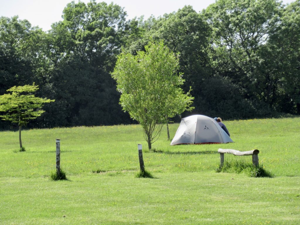
Lonely tent

EFG

Day 6, May 26, Truleigh Hill Youth Hostel, TM 60.6–(14.5 miles)

It looks like we’ll have to just walk

After our supper at the Bridge Inn last night, we came back to our sheltered tent spot. We had chosen a strategic spot, near the back hedge, behind a sitting pavilion, for extra wind protection. We didn’t check the spot well because it was quite slanted. 

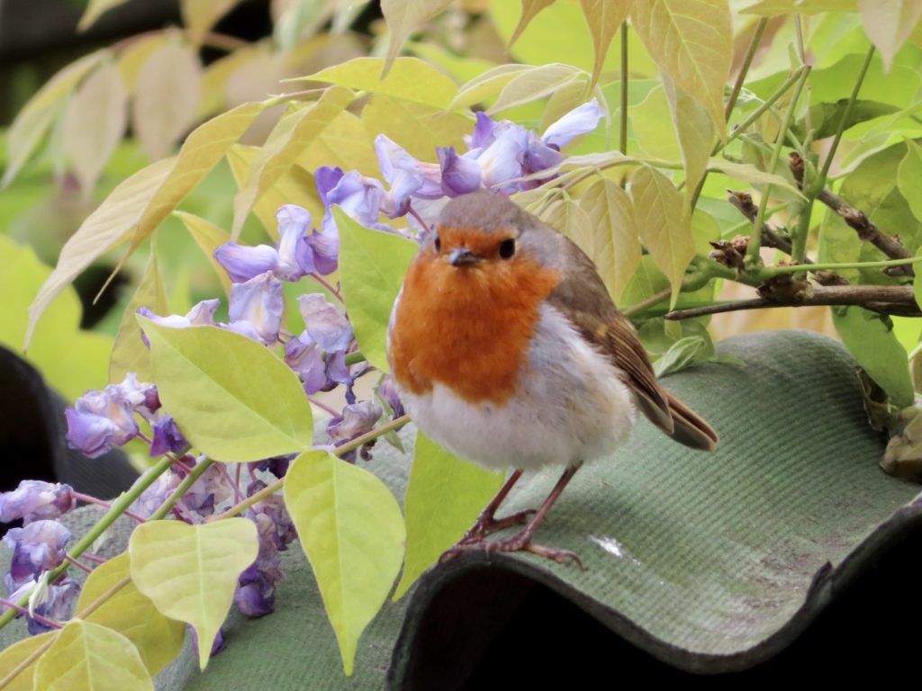
Believe it or not, a robin

Throughout the night, the bed slid down my side of the tent. Bunny insisted on keeping her share of the bed even though mine was sliding up the side of the tent. I couldn’t move without facing Bunny wrath. I awoke at 5a to the sound of baaing sheep 5’ from us (on the other side of the hedge). I had a mesh pattern on my cheek from my face being pressed into the tent screen. It was not a good night’s sleep.

Courtyards add so much to a house

Since we didn’t meet Bear and Sassy for supper, we agreed to meet in the village and walk out together. We have heard that Amberly is the prettiest village in the Downs, so we wanted to see for ourselves. We thought we might stop by the Tea Shop to have a pastry and tea while we waited for our genteel friends to finish up their daily massages after their breakfasts. 

Freshly thatched roof

The gate in front of the Tea Shop was closed with a bit of a snarky sign saying “if you can read this sign, we are closed.” We checked the hours, and their approximate opening time on Thursdays is 10:30. There is a shop in town, so we headed across the village to it. It was half way across the business district, meaning 2 buildings down. Their hours said open at 9 and it was only 8:45, but they were open!

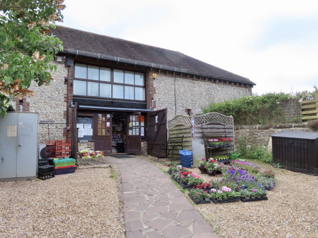
The town store tucked away in the middle of the block with no road access

We went in and bought lunches. After we checked out, I asked if they had a microwave we could use to heat up a sausage roll. Even better yet, they also sell coffee and tea. I ordered a second breakfast for me and we sat out front watching the store’s local robin maraud the place. When the cashier brought out my roll and coffee, she told me if the robin doesn’t get his morning sunflower seed, he’ll come in the store looking for it. While I was sitting on the bench, he did just that. He saw there wasn’t seed out and he walked right in the store. 

Early morning on the horizon

We decided to walk around and check out the houses. The walled streets are very cozy. I love the idea of an enclosed courtyard and the privacy you get. We were very surprised to see so many thatched roofs this far south and close to the ocean. 

I’m sure they’re getting a tax write off to be this generous

When Bear and Sassy came into town, we were already up and moving in the direction we needed to go. It was a quick walk out of town until we hit the climb and Bunny began her Everest ascent routine. Today is a walking day only…no major highlights, and no chance for a cafe along the way. There is only one thing we can look forward to…the halfway mark. 

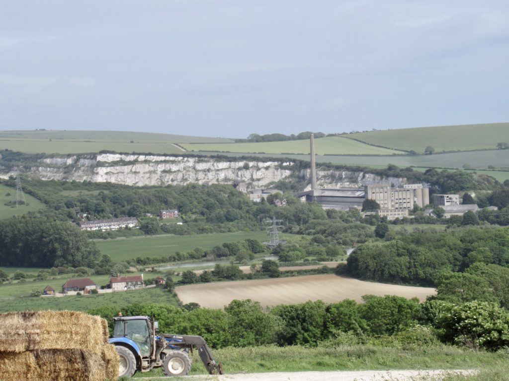
Old concrete factory abandoned just a few years ago

We were at what is considered the halfway point—Amberly. But the actual halfway point is a car park just 3 miles east of town. Once we got to that point, I dropped my pack declaring Bunny needed a break. Two elderly gentlemen from the town below started kidding us about taking a break so soon in the day. We talked with Pete and John (there’s always a good natured Pete wherever we go) for about a half hour until John started getting antsy for a drink. 

Hay bales stacked like this always remind me of Spain

There was an overgrown World War II bunker just off the trail. We couldn’t find its exact use, but we surmised it might have been a listening station for early warning of bombing raids. We are close to the southern shore of England. We are not far from Brighton and just across from France. It’s also conceivable it may have been an anti aircraft fortification. We took a lunch spot not too far after to think about it. 

An old bunker

It was a perfect day for hiking (in my book). I’m not a big fan of the sun beating on me. I overheat quickly when it does. Today was 98% cloud cover and just about 58F. In spite of that, I spent a lot of the morning walking in full sun. I always happened to be walking under the cloud break. Anyone else would have liked that. 

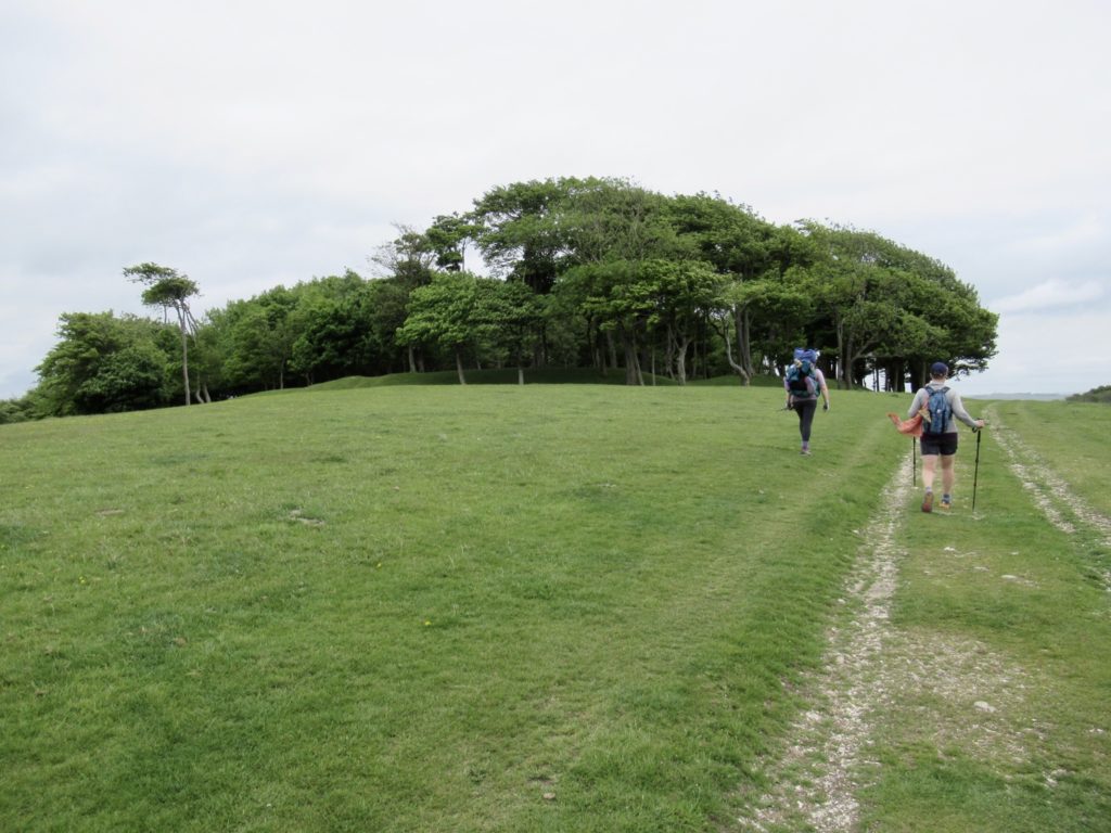
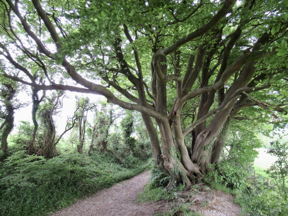
After lunch, we came upon another Iron Age hill-fort. In 1780, a farmer decided it would be nice to have a Beech Grove on the site, so he planted one. This gave cover and rise to the local witches (or as republicans in the US refer to them—women) to come out perform Druid rituals and magic. 

Beech Grove fort ahead

To check this out, we walked around the perimeter to activate the magic.  It worked! A huge Royal tent was erected in the field below. It appears England is going to war. We quickly reversed our steps and the battle tents were revised to celebratory tents for the Queens Jubilee. Crisis averted due to Bear’s quick thinking of sacrificing a bunny in the middle of the grove. 

A war encampment—what have we done?

The crossing of the River Adur, marked another change for us. Bear and Sassy had to leave the trail to head to their B&B for the night. I had to convince my Bunny that she could make in another mile and a half uphill. I had tried to call to see if we could get a couple of beds, but we were told they couldn’t help us because it was not far enough advance booking. We would just have to go to the hostel and take our chances. 

Whew, that was a close one, now it’s for the Queen’s Jubilee

Worst case, there is camping allowed in the field across from the hostel. This would work, but we needed showers and laundry. I can smell myself. I’m afraid to get too close to people. We haven’t done laundry since we got to London over a week ago. We are ripe. 

Plenty to see if we had more time

Bunny went in while I talked with a man from Hastings we’ve been bumping into on the trail for the last few days. When I got in, Bunny had already gotten us a room. When I asked about a washing machine and got a positive response, I was in Heaven. Hiking makes you appreciate the simple things. 

EFG

Day 5, May 25, Foxleigh Barn, Amberly, TM 46.1–(11.1 miles)

Lesson learned, check the web before hiking off trail

Blustery. Not storming, but good enough to help justify in my mind the amount we paid last night to stay inside. Not to say the Inn wasn’t nice—it was. We got to have supper with Bear and Sassy which we haven’t gotten to on this trail. It was just overpriced, but I’m a 70s man living in a 20s world. The most redemptive aspect of the Inn was that the village owns it. I’d much rather contribute to a small hamlet trying to survive than to a corporate owned place with no local interest. 

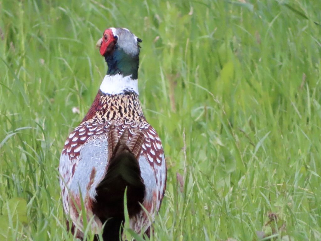
Lots of pheasants

I would have preferred storms and hail overnight, like we experienced on the way into town. Blustery is partially redemptive. On the bright side, it started to rain before we left this morning. We were all forced to wear our raincoats almost the entire day, just because the wind was so strong. It was very similar to hiking on the AT, except the hills weren’t nearly as steep, the track was much better maintained, the views were expansive, and the rain was not an all day affair. The only thing really like the AT was that we hiked with Bear and Sassy in the rain most of the day. When we met them, they promised us many rainy days of hiking. They have kept up their end of the bargain—and then some. 

Selective cutting (England) vs clear cutting (USA)…CA is changing practice and getting higher yields

We spent most of the morning in the Downs which should be called the Ups. I don’t think we’ve gone over 800’ yet, but the terrain is so dramatic. The towns all sit down between 200’ and 400’ above sea level. There is a cost to dropping down to towns and that’s the climb back out. Bunny’s new hip is doing fantastic. She doesn’t have the miserable pain like previous years, but she’s realizing how much she had favored her left side. It’s going to take her a while to build her left leg up to equal strength with her right leg. When she does, I’m toast. 

The gate is about to take flight

This ridge was highly used in the Bronze Age and Iron Age. There are several archaeological sites along the way every day. We’ve passed so many burial mounds that it’s like land measles. They were smart enough to cremate their dead, so they won’t end up in a museum like the current, and past few generations will. Our embalming methods will be too tempting to not dig up in the future when a cemetery is stumbled upon. 

Cadence Cafe in a shipping container…great business idea

Only one thing kept me going this morning through the blusteryness, Cadence Cafe. I knew they would be open at a road crossing about 5 miles in for us. Sure enough, they were there and waiting. They had even erected a covered dining area out of canvas for us to use. The wind was blowing so strong, we thought it might take off. A few of the roof supports were bent, but it held for us. 

I think Bear is happy to be out of the wind
A 2000 year old feather post pointing to Londonium (the Romans had really good wood)

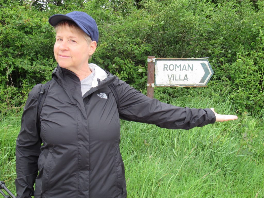
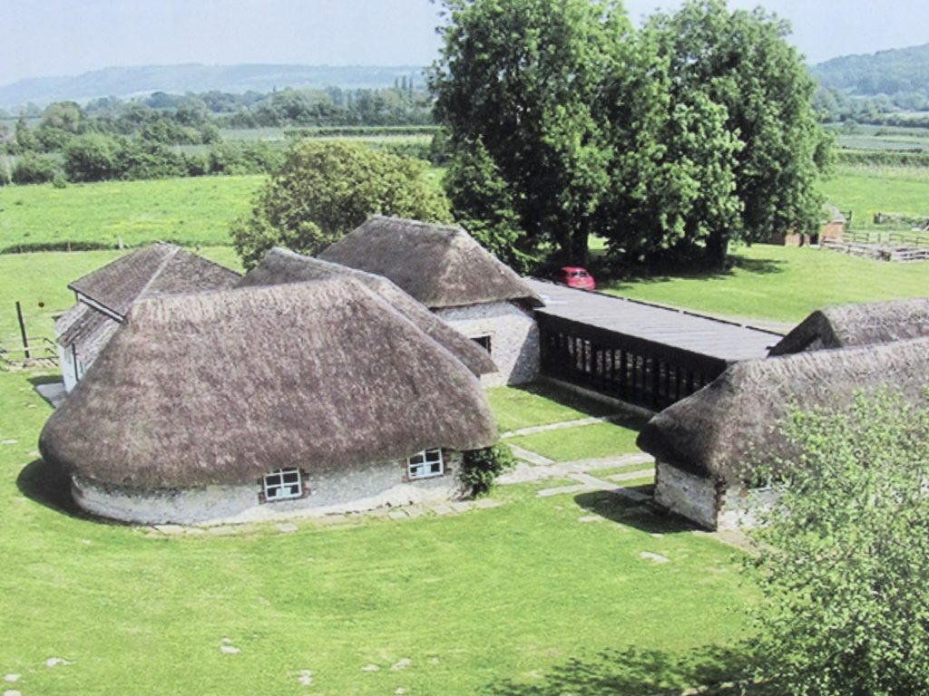
One highlight we had planned for today was to visit a Roman Villa from the 3rd century. In the 19th century, a farmer was plowing his field and discovered a nearly intact floor mosaic. That was the start of the discovery. I remembered thinking back to being a little kid and seeing the “founded in 1868” signs and thinking that entire towns set in the wilderness waiting to be discovered. I didn’t understand that it meant someone started building the place. My childhood misconception proved to be closer to the truth in this case. 

Sassy points the way
2 1/2 miles off trail

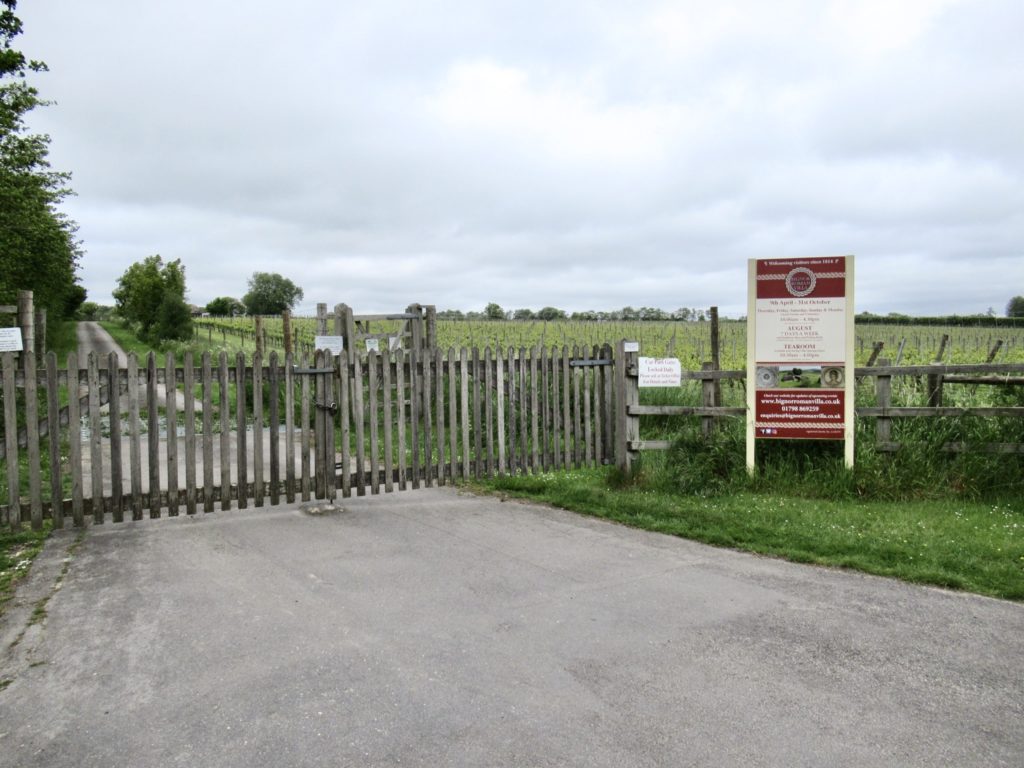
We got to walk down an old Roman Road (not the first time for Bunny and me). We had to walk about a mile and a half off trail to only discover that Tuesday and Wednesday is the traditional Roman weekend—they were closed. Like any town visit , we had to pay the price of steep elevation loss and gain. When Bunny’s climbing, every ascent is like climbing Mt Everest…step, step, rest, breathe.

Roman floor mosaic
What the compound might or might not look like

Our true mileage today was closer to 14. I don’t count the side trails or the trips into town and back. As long as we walk more than the prescribed trail miles, I’m fine with it. This is Bunny’s longest day on her new hip. No complaints other than muscle stiffness which is to be expected. 

Finally, some wildlife…the Queen’s deer are about

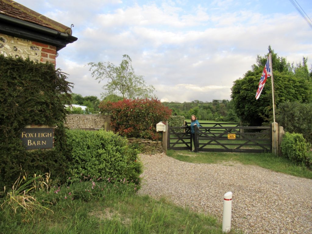
Since we stayed in an Inn last night, we were most definitely camping tonight unless a hurricane made landfall. I was prepared to wild camp after Amberly, but we found an article listing the five best camping locations on the South Downs Way and Foxleigh came up number 1. Better still, it’s directly on the trail…no extra mileage required. 

Foxleigh Barm Camping

Bunny and I split up from Bear and Sassy just 0.2 miles from here. The plan was to meet up in the middle for supper tonight, but the two best places to eat in town are right by where we’re staying or the pub they’re staying in. Neither one of us wanted to walk an extra 2 miles just for a meal. We’ll meet up in the middle of the village in the morning. 

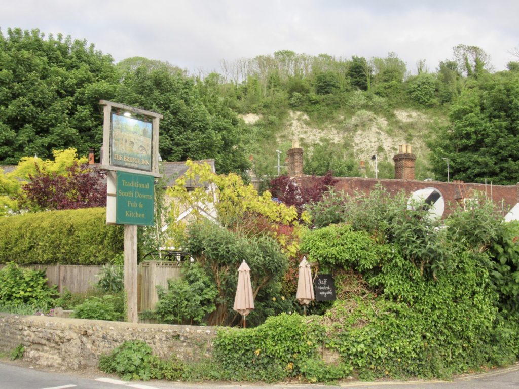
One of two good eating spots
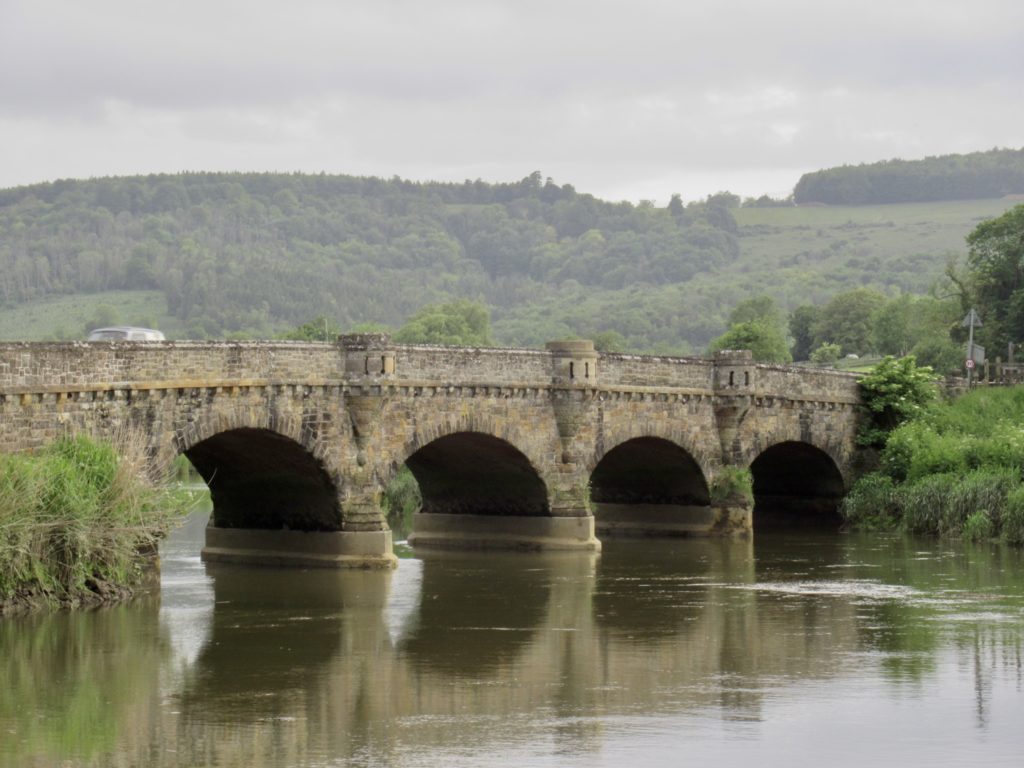
Bridge for which the Inn is named

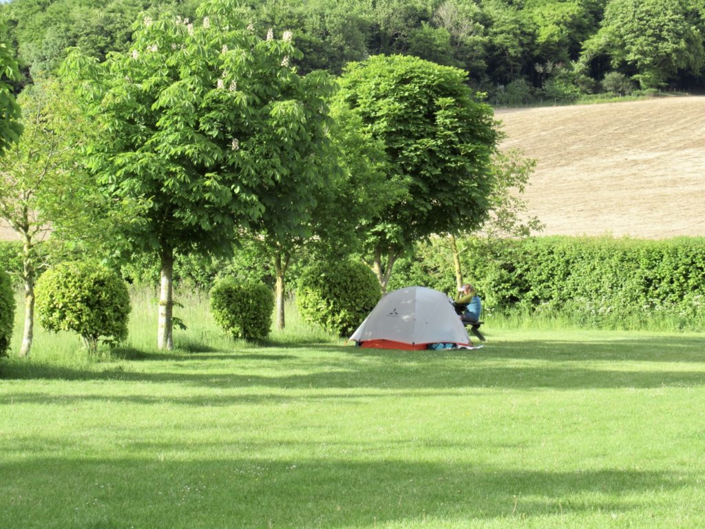
Foxleigh is very well maintained and nice. It has everything hikers want: a kitchen, picnic tables, level spots, friendly hosts, showers, and toilets. We’re over a week in England and I haven’t filtered water or dug a hole yet. I’m not sure if what we’re doing is considered backpacking. 

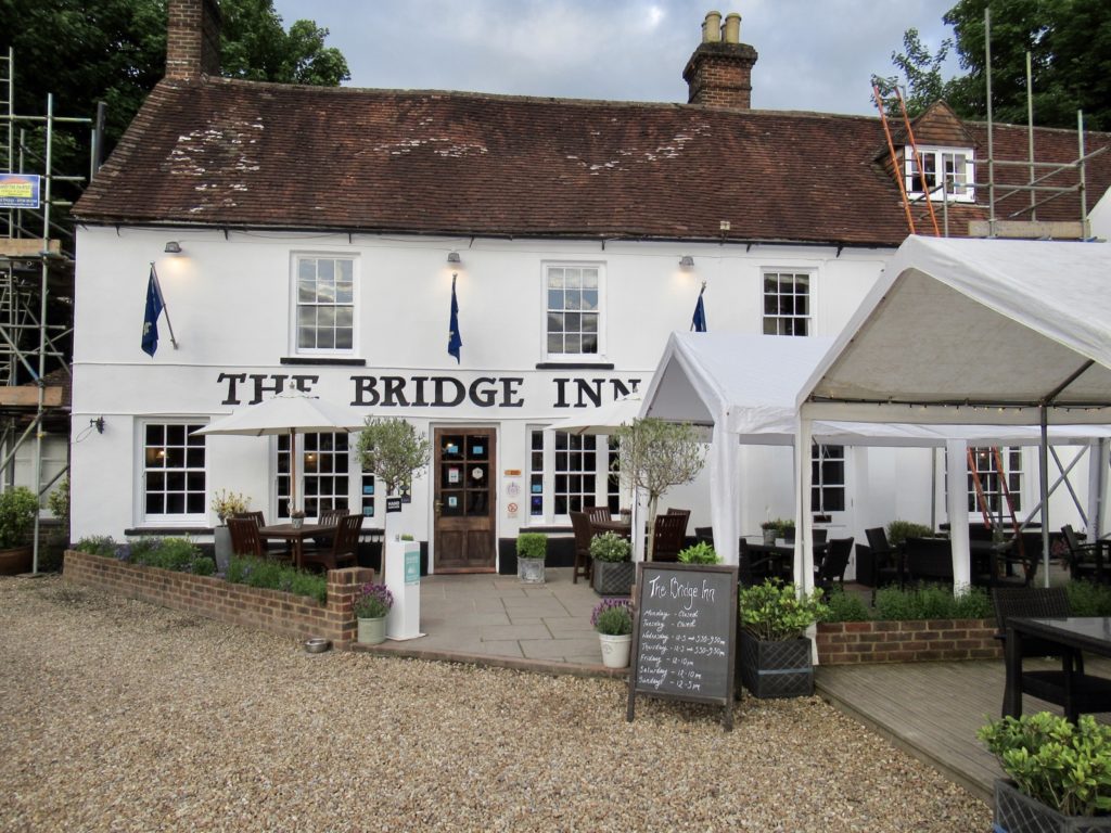
Bridge Inn nestled behind
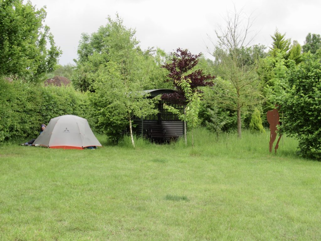
Speaking of nestled, our tent beside seating area in corner of field

EFG
Day 4, May 24, Cocking, TM 35.0–(7.2 miles)

🎶 Reunited, and it feels so good 🎶

Notice the reduced mileage today? This is the danger of staying in pubs at night. It’s hard to get a saturated Bunny up in the morning. The rates for a night in a pub have gone up way faster than the stated inflation rates. We flat out refused to pay for a few we got prices for. If you’re going to pay as much as is being asked right now, you’re going to stay until the last minute, which is what we did.

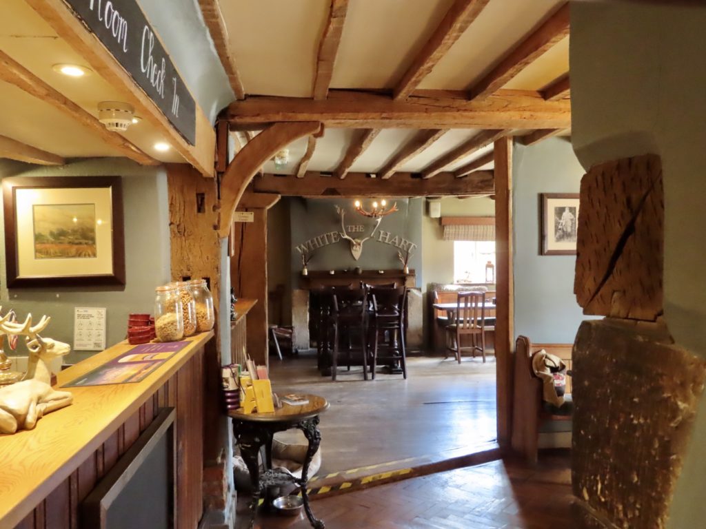
The heart of the pub

The pub was outstanding. The food was excellent. The staff was friendly and courteous. The one hitch we found was that the pub has new corporate owners. Big business has finally invaded the English countryside. I hate big business and their profits over all else so some prick in a tower can get a 7 figure salary and has zero contact with customers. 

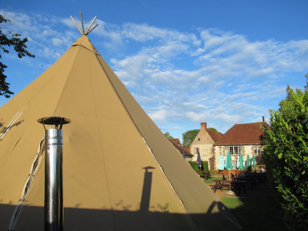
A teepee behind pub

Let’s get back to the English countryside. Turns out, we are just 3 miles (one village) ahead of Bear and Sassy. Our late start trying to get our money’s worth from “the man” worked out well for us meeting them at the junction of our side trail and the SDW. Reunited after 3 days apart. I’ll admit, Bear looked well for not having a valet the last 3 days. 

Finally, they caught up again

Speaking of valets, there is a Victorian era manor house just a half mile off the trail from where we were reunited. Rumor has it, there’s  also a cafe there. That’s all it took for me. Bear and Sassy have not watched Downton Abbey, but I started working on them last night about visiting the manor. Bunny wanted to hold out for Highclere Castle, but I convinced her, bird in the hand…

Someone to watch over me…Arch Angel (Peter) Gabriel

Once Bunny discovered a shortcut back to the trail from the manor house which didn’t require her backtracking, she was in. Off we headed to Uppark House. It was worth the chance of death walking on the shoulder of a busy highway until we got there to see it was closed on Tuesdays and Wednesdays—including the cafe. Score: 0-1.

They brought the rains with them

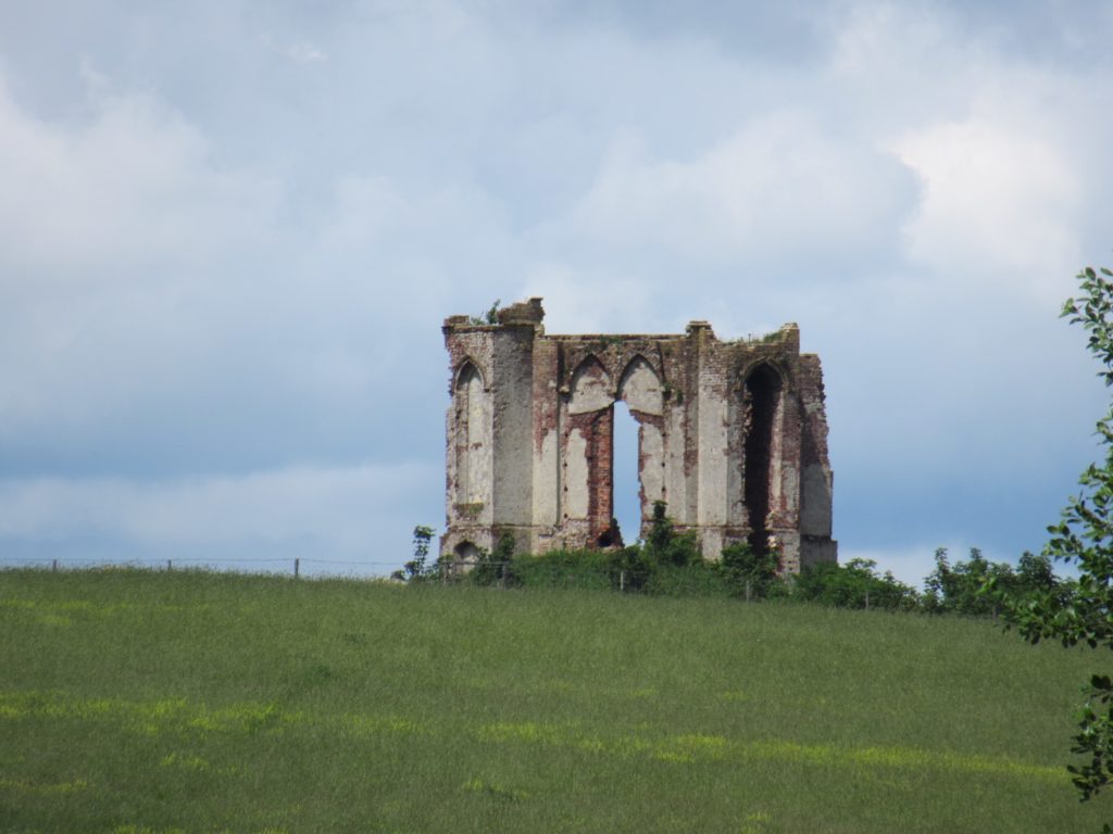
One of the benefits of the “shortcut” back was that it took us above tower hill which is aptly named for the unfinished tower there. I saw a mowed path off the “private” road which was our path and headed up to the tower. We could only see the top of the tower from the fence row. Behind said fence row was what appears to be the common denominator in all ruins in England. Viking marauders couldn’t take the hill, but the sheep have. They may seem peaceful enough, but they are quietly winning the long battle for Great Britain. 

Oh, Ian, I’d like the tower over on the next hill now that I see how it’s turning out

The minute Bear and I opened the gate to get closer to the ruins, a Tower time frame period appropriate Land Rover pulled up and asked what we thought we were doing. This is not public property or a public right of way. I did what you might think I would. No! I didn’t throw Bear under the bus and say he told me it was OK. I pleaded ignorance and apologized. We all did. When he heard our funny accents, he said no worries. Take your pictures and head on. Americans without cars are a rarity in these parts. 

A short break

Once back on the trail, we entered the Harting Downs and would be in them for the next 4 miles. Downs are actually Ups. It’s a mixed up world in England. The downs are the rolling hills on the ridges above the valleys which contain the towns. This is also the area that was inhabited and fortified during the Iron Age. 

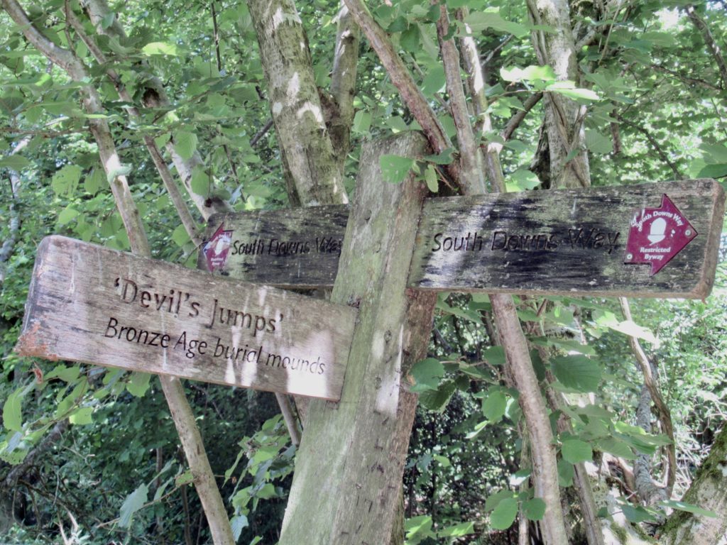
Devils Jump is a burial mound formation

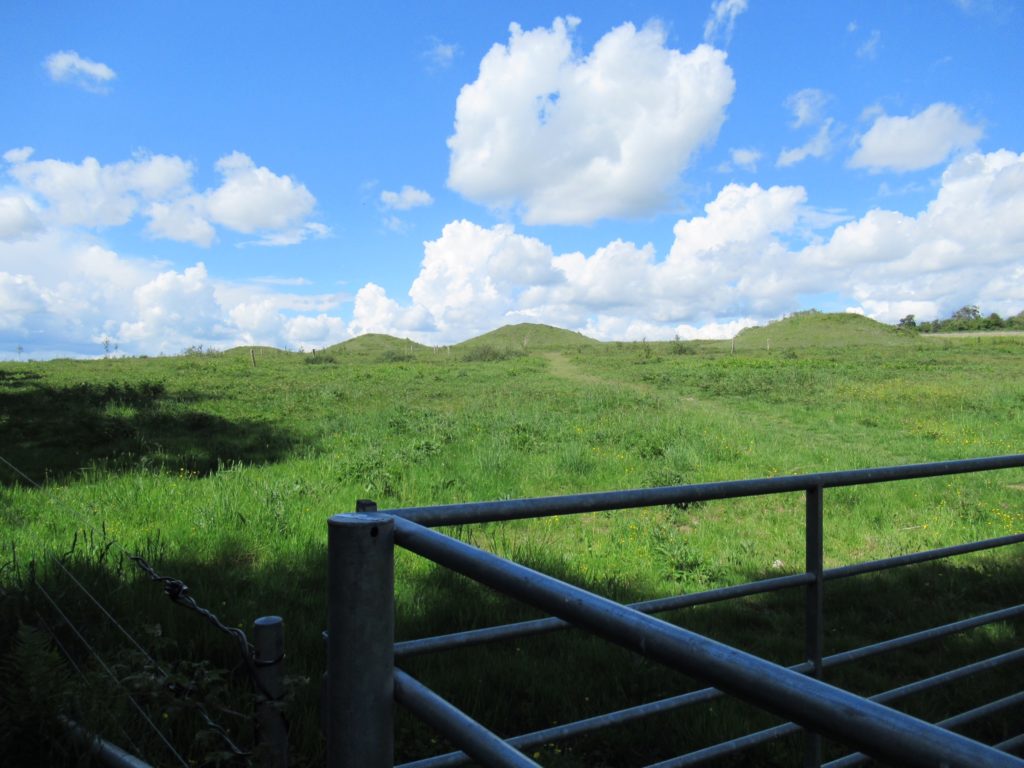
A day or two ago, we passed an Iron Age hill-fort on Winchester Hill. Today we passed a formation from the Bronze Age called the Devil’s Jumps. It a series of ceremonial burial mounds which are aligned with the setting sun on the summer solstice. You might complain about getting so many calendars at the start of the year, but you can throw them out. These old calendars are cluttering up the English countryside and have been for millennia. Let’s not even get into leave no trace. 

Those humps are burial mounds aligned with the setting sun on the solstice

Beside the mounds stands a tower. It’s an obvious observation tower to get you high enough to see the six (or seven) mounds depending on the numbering system you are using. On the 4th step from the bottom is a sign that reads “No unauthorized persons beyond this point”. Rather ambiguous to Bear and me. Did they mean don’t go beyond this step on the ground? Who has the authority to authorize persons? With this much ambiguity, we felt confident in climbing the tower. It was not worth the risk of disobeying the law for the second time today. We could see six (or seven) mounds from a slightly higher angle. 

Jerry Bruckheimer Production tree

One thing I have neglected to mention today was rain. Rain in England is not like the middle of the US. When the rain starts in the Midwest, it can go for days nonstop. Rain in England lasts for as long as it takes for you to take off your pack, get out your raincoat, put on your pack cover, put on your raincoat, put your pack back on, and walk 50 feet. If you neglect these steps, the rain will last for up to 20 minutes. If the weather detects your getting cocky in your calculations, it will hail. It’s best practice to just follow the proper steps. I merely mention this in passing because we experienced a few, brief periods of rain and we followed the proper steps in order. All was well. 

Harting Down entrance (or exit) depending on direction of travel

Bunny and I still hadn’t decided where we were going to head to today. We came to a divide in the trail while I was looking at the map trying to formulate a decision. The trail had a high side and a low side. Sassy said “you take the high road and I’ll take the low road.” I was looking at the next town which I read as Cockring. This is a long winded way of saying I got an ear worm in my head for the rest of the day—“you take the high road and I’ll take the low road and I’ll get my cock ring before you.” Innocent enough until I noticed the town was Cocking and it just sounded mildly perverted.

Memorial to a Nazi pilot who crashed in the area

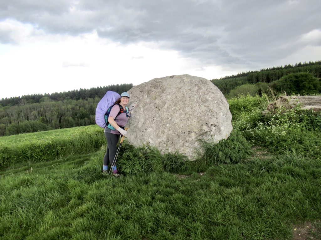
Another trail highlight today was the giant chalk ball in the trail. A few years back, an artist made 4 giant chalk balls and placed them along the trail, partly for art, partly for science to see how well chalk weathers. Bear and I almost passed the ball up, mainly, because it was starting to rain. We were only 2, maybe 3 tenths of a mile from the next cafe, just prior to the Cocking (no R) turn. I decided to skip rain protocol and push on. I talked Bunny into joining my folly. Bear and Sassy didn’t break protocol.

The chalk ball experiment has not been very successful

The weather gods were not happy with the flaunting of the rules. The rain kept increasing. We didn’t slow down. The rain turned into a pour. We picked up our pace. The rain threw in some hail. We were committed to making the cafe. The wind picked up. We were too soaked to change our minds and follow protocol. A car turned onto our track. We saw it and moved aside where there was no puddle. It blew on by. The rain got colder. We made the turn to the cafe and got inside the exact moment the rain stopped. The time was 4:01.

Rain is almost here

Why do I mention the exact time? Because the cafe closed at 4:00. There is no slack on closing times. The woman said she had already shut off the register and coffee machine. We stepped outside just as Bear and Sassy caught up. They were much wetter than us. They had not stepped aside into a puddle free zone as the car blew by them at full speed throwing water 4’ high onto them. 

Looks like another night in town

We stood outside the closed cafe while Bear emptied his shoes off all the water. The woman closed the gate on the outside yard, crossed the path, and went to her house as two bicyclists came up asking for drinks. She turned away 6 customers in the rain so she could go to her house 50’ away. Closing time is at 4. When will she reopen? Some time between 8 and noon tomorrow.

Colorful little town garden

Bunny doesn’t handle adversity well. In the moment, she thinks the way she is feeling right now is how it’s going to be forever. Right now, she was wet and cold. Therefore, she’ll be that way all night, unless we get a room in a pub to dry out. We had already talked about this exact scenario today. We knew we were going to get rain near 4 and then there would be no more rain the rest of the day and night. The sun was already shining. I was starting to dry. Now you know why we’re staying in a pub in Cocking tonight. Bunny has an R. 

EFG

Day 3, May 23, South Harting, TM 27.8–(11.6 miles)

Cafe hopping makes the day go faster

Never say you love something—it’ll bite you in the ass every time. I said I love hiking from cafe to cafe, and that’s what we did all morning, trying to find a cafe that was open. 

Meon Springs is set up for fly fishing

When we “checked in” at Meon Springs (set your tent up over there, want a beer?), they told us they don’t have a cafe even though they advertise a cafe on their website, on the sign as you enter the property, and the sign as you leave the property. They do sell snacks on the honor system. Crisps, candy, soda, and brewed coffee. They told us they might have some hot items in the morning after 8. We couldn’t take the chance of might, so I made breakfast in the tent. We checked as we were leaving (there’s always room for a bacon roll) but there wasn’t anything. Score: 0-1.

All to ourselves
Fishermen on deck

For a brief moment when we found out there weren’t showers or a cafe, we contemplated hiking on another 2.6 miles to a hostel with an on-site cafe. As soon as Bunny sat down to contemplate the additional mileage, the answer became no. We stopped by sustainability canter only to discover the cafe is closed on Mondays and Tuesdays. Score: 0-2. 

Yes, Sue, the Fanta is different here. It tastes like an orange and got us in the mood.

Leaving the sustainability center, we were privileged to walk through an upscale community where, even in the best of times, I would not be welcomed. The mansions were quite impressive. One of the old ladies made it a point to stand on her porch with her nose held high in the air as we passed. I’m hopeful she couldn’t actually smell us across her lawn, but it wouldn’t surprise me. It’s been 3 days and 20 miles since the last shower. 

We scared her more than she was uppity to us

The walk through the English countryside was very pleasing. This is an idyllic area of England. We just need to keep in mind that we are in a National Park. But from past experience, we know that England makes outdoor access a priority. There are footpaths crisscrossing the countryside wherever we go. 

Beautiful country lane

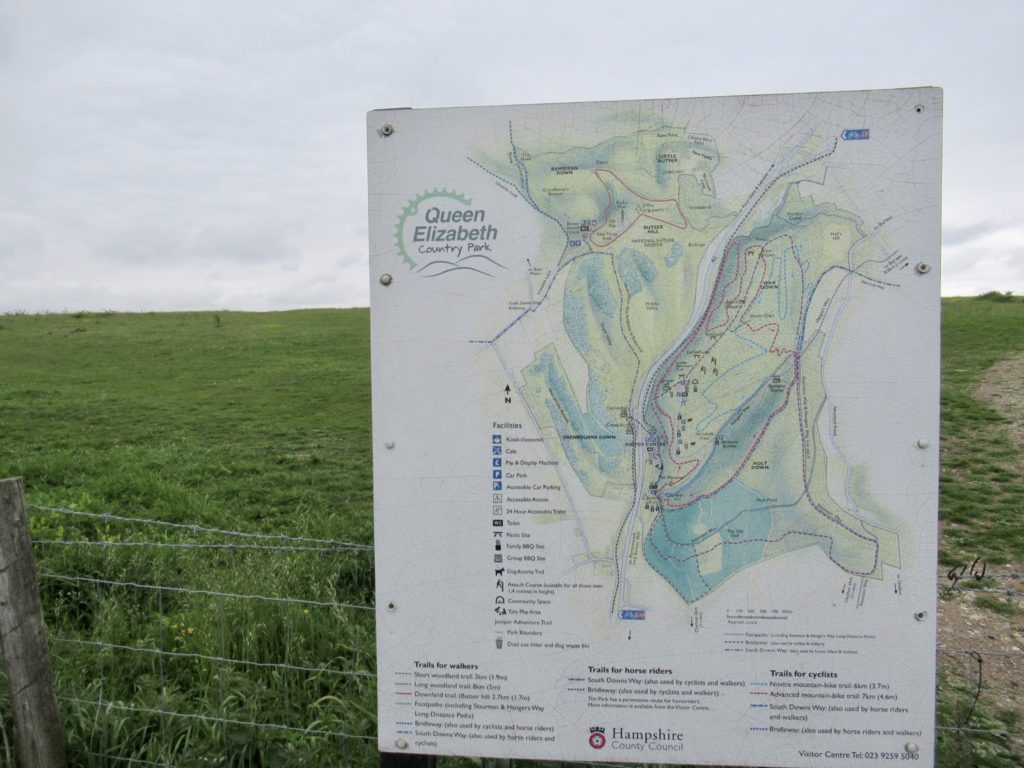
Next up was a chance at a cafe in the Queen Elizabeth County Park. All signs looked good for this one. Cars were headed in that direction, we saw signs saying “now open”, and the parking lot was full when we got there. When we walked up, the first sign we saw read “toilets open every day, 7:30a – 10p” with another sign directly below that read “toilets closed”. I’m getting mixed signals, but…Score: 0-3.

Queen Elizabeth Country Park had everything we wanted except for being open

I checked the map and saw another cafe in a little over a mile. In all fairness, it was still early in the morning, barely 10:30. Bunny wanted food now. I had thought to buy a bag of crisps (chips to Americans) last night which would go great with the tuna fish I had lugged across the pond. Have picnic table and tuna fish…

Really nice park

The next cafe was near the intersection of the A3, which is a 6 lane highway we would call an interstate. Even as we approached the cafe, we had our doubts because it was still only 11:30. This cafe, though, offered breakfast options as well as a wide variety of healthy choices. I tried to get Bunny to split an English Breakfast with me, but she pointed out it was 11:35. Breakfast stops at 11:30. Punctuality has no meaning on opening times, but cut-off times are strictly adhered to. We split a soup, sandwich, and a couple of coffees. We were satisfied. Score: 1-4, hikers win!

Bunny never passes up a lamp

Hiking from cafe to cafe still is enjoyable even if they aren’t open. It gives us minor goals. Before you know it, you’ve hiked 9 miles and it’s only noon.

Like Kansas except nice and pleasant

We made the mistake of checking the weather last night. We have a greater than 50% chance of storms this evening and tonight, so we had a new afternoon activity, find a pub to take us in. We tried all available pubs and B&Bs in Buriton, but they were priced well above my self imposed limit. (Coincidentally, my self imposed limit is very similar to health insurance “reasonable and customary”…it’s always £20 too high). This is the village where Bear and Sassy are staying tonight. We haven’t seen them since the Winchester Cathedral. I’m afraid they might acquire some new servants in our absence. 

We found Harry’s Owl

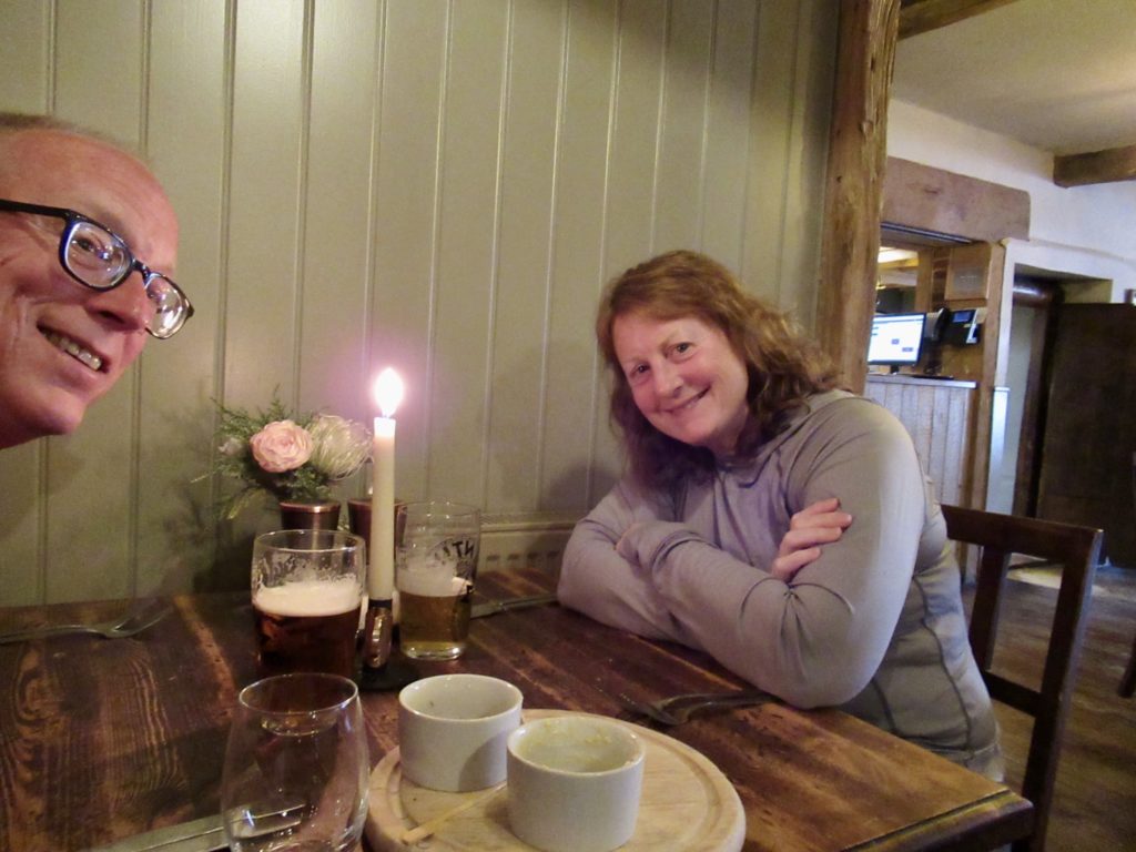
We did check the next village, South Harting with similar results. I had left my name on an answering machine (yes, this is 2022). Unexpectedly, they called me back and we’re only £10 over my limit. Since it was already raining when we got the call, I caved. We will spend a night in luxury.

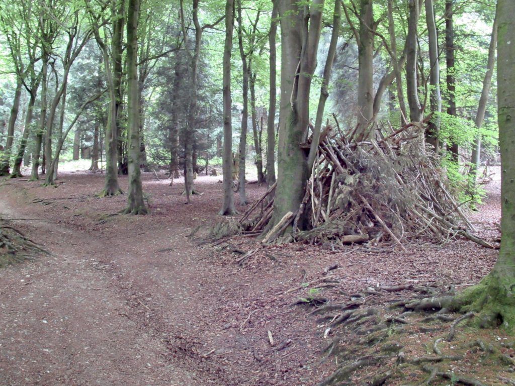
Makeshift shelter in the woods…we’re not the only wild campers

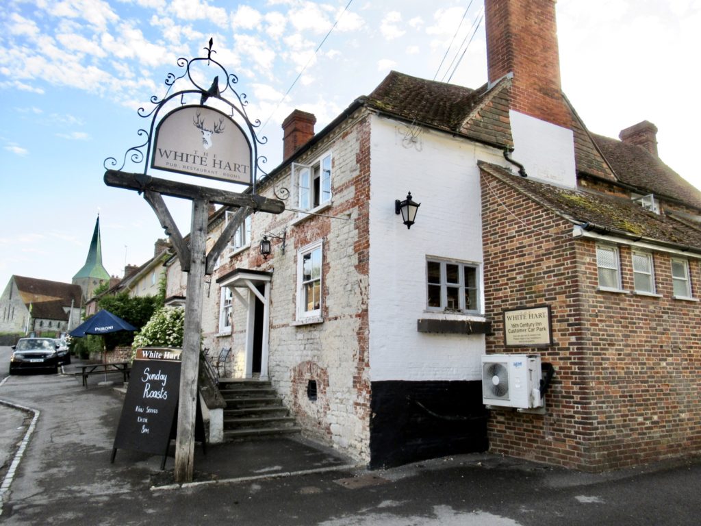
The White Hart Pub is only about 1/2 mile off trail. We got a double room in a converted outbuilding behind the pub. Everything is new and very nice. I just hope this bit of luxury doesn’t spoil Bunny. I have a hard enough time when every time we pass bab6 sheep, she wants one. A shower might be slightly more obtainable than a lamb. 

White Hart Pub with an equally old car park out back

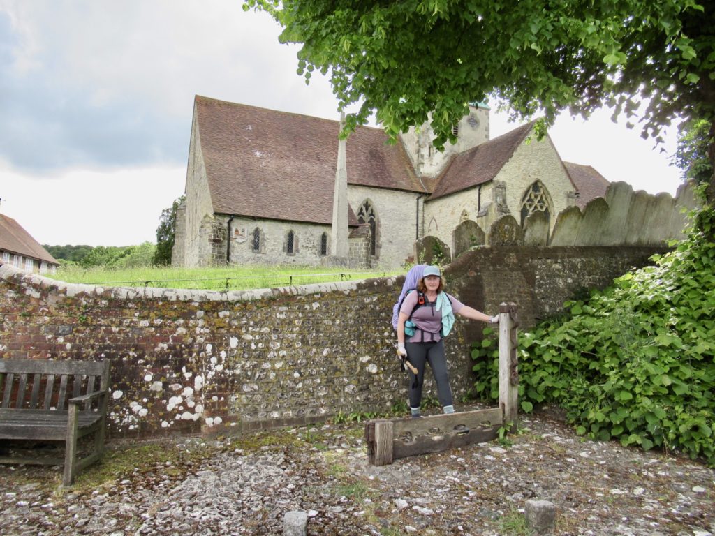
Two interesting features of South Harting. We are in a pub right next door to a 12th century church which still has a working stocks outside (Bunny better behave). The second is the hill right above town has a medieval tower whose construction was begun but never finished. 

A working stock outside the church. Texas is jealous.

As I’m writing this a third point of interest has occurred—it has started to pour rain. If push comes to shove, my reasonable and customary May have to go up £20 next time. 

Happy wife, happy life….I’m learning

EFG
Day 2, May 22, Meon Springs Farm, TM 16.2–(12.9 miles)

Our first day showed Bunny to be much stronger than we hoped.

It’s going to take some time to get used to being so far north. It was light until almost 10 last night and fully bright by 4:30 this morning. It is causing strange things to happen and it’s frightening me. Bunny was awake before the alarm and told me to start breakfast—it was before 6:15. If Sassy is affected in the same way, prepare for the Apocalypse. 

Not a lot of protection or cover

A few people went by and noticed our tent. It was hard to miss it since we were less than 5’ off trail and in an open field. The majority of comments we heard were “so nice” and “how fun”. I’m sure when they got down the hill in either direction it was “it had to be Americans.”

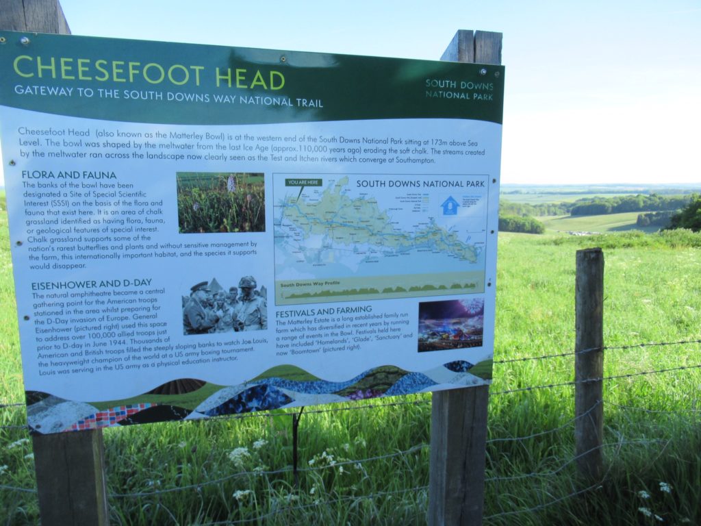
Eisenhower addressed 100,000 troops in the area where the cars can be seen

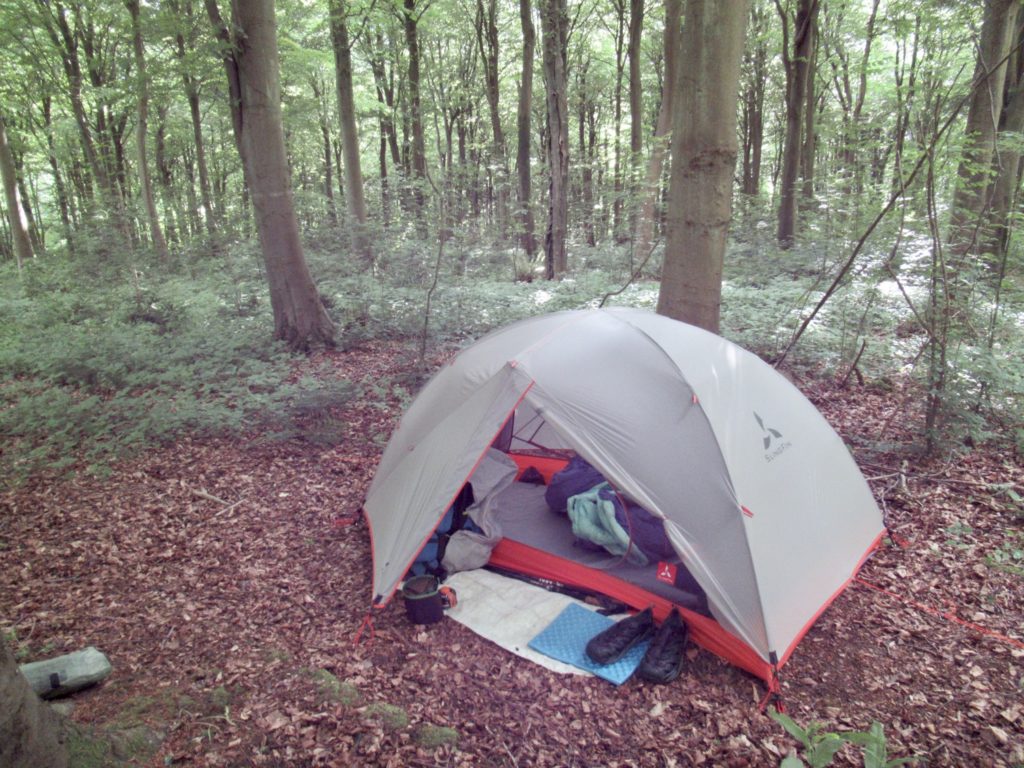
Our tent did not see the sky at 8a, and it was dripping water off the fly when we woke up. We have already got our new system down to under an hour and a half. In all fairness, we didn’t have to filter water or dig holes. I don’t mean to brag, but I can control my bowels if I know I’m passing porcelain anytime within the next 8 hours. 

Rolling hills of Sussex

We had a goal of making it to The Milbury’s by noon so we could explore the deep well and meet Bear and Sassy for lunch. It was almost 6 miles from where we camped.  We weren’t sure how Bunny’s new hip was going to hold up. I’m pretty sure the new hip will hold up fine. I’m more worried about the old body surrounding it. To both of our surprise, we did really well. By 10, we only had a mile and a half to go. 

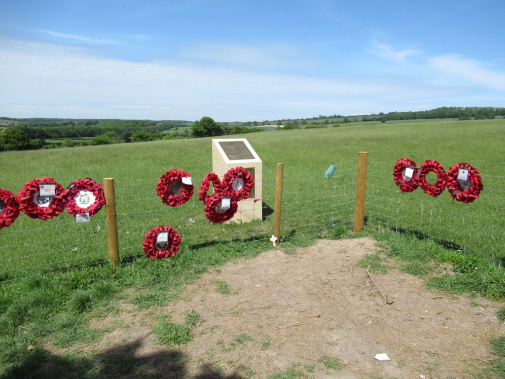
Memorial to soldiers who died here in a training exercise

As we crossed a road, we saw a sign for a new cafe at Holden’s Farm now open. This is one thing I love about hiking in Europe. It’s not wild camping at all. On the plus side, it’s not unusual to run by a few cafes and a couple of pubs on any given day. Of course, we stopped in for a cappuccino and a slice of lemon drizzle. 

Let the cafe hopping begin

Even with our coffee break, we made it to Milbury’s by 11. The last time we came to England, we only hiked the Yorkshire Dales Hi Way and it was late in the season. We didn’t get going early because of the cold. With today’s start before 8, we’ve discovered something we had already gotten a hint of in London—lunch places in England don’t open until noon. 

Plenty of info boards to explain area’s history and nature

We let B&S know we were pushing on and we’d try to catch up with them tomorrow. They’ve got another B &B a bit off the trail tonight so if we had met them for lunch, we would have only hiked with them for a couple of miles. We set our sites on Meon Springs after lunch. It was much further than we thought we’d get today, so we hadn’t considered it. 

The sheep are taking over most of the historic sites

I said we weren’t bringing any food with us on this trip. That explains why I’ve got about 10# of food in my pack. We still weren’t hungry and Guthook (my bad, FarOut) said there was a nice pub in Exton in another 3 1/2 miles. By then we should be ready to eat. 

Shoe for lunch…the pork loin was not leathery at all

Either we’re in better shape than we thought, or this is easy hiking. We made it to the Shoe by 12:30. There was only one table left and the hostess let us have it on the condition that we would be out in time for their second seating at 2. Wolfing down food has never been a problem for me. 

A working farm house

Bunny and I were hungry, but decided to split a lunch so that we could splurge and have a dessert as well. Not like me, but my hiker appetite won’t kick in until at least 2 weeks on the trail. Plus, I feel so embarrassed to have such a gut on me. The English take one look at us and start talking about American “things”. I will not let my hiker appetite take control until the English start asking me if I’m Canadian. 

We’ve been followed by this balloon a lot of the afternoon

There was only 4 miles left after lunch. We thought we’d be in camp and set up before 5. We would have been, if…I had listened to my wife. We came upon an old rail to trail path shortly after I had checked the map and saw we had a hard right turn. We came up on the trail and Bunny tried to get me to go a different direction than I had already decided was right. I started mansplaining to her that we had to go down the rail bed. 

More of the countryside

About 10 minutes down the trail, I decided to check how much further until our next turn. We weren’t on the path. I said we’ve got to turn around, but Bunny wanted to continue on thinking the trail would eventually rejoin the hiking path. 1) We were off the map and had no map which showed this trail. 2) Even if this trail did rejoin, we had to follow signs. If we missed one sign, we’d have no idea where we were. 3) I was pissed that I had to say “you were right” to get her to turn around. 

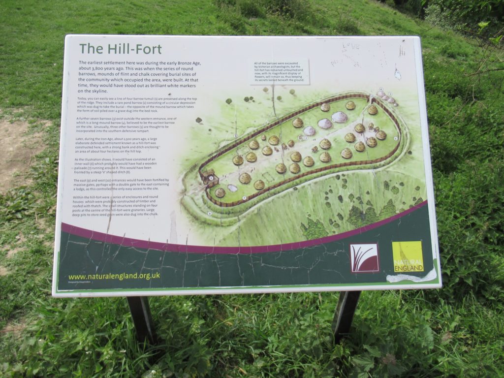
3800 year old fort from the Iron Age

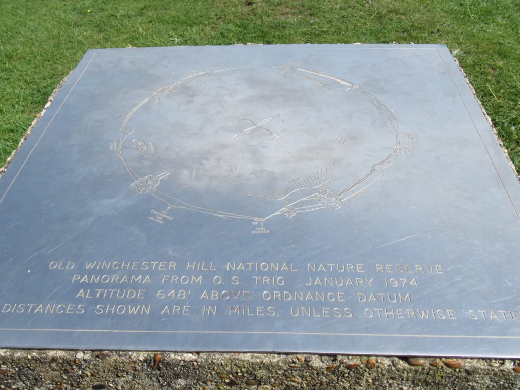
We had seen a sign for Winchester Hill as another alternate route for us to follow, but I had no idea what Winchester Hill was and we had no map showing it. We stuck to the old trail. We got to a point on the trail with a sign explaining that Winchester Hill was the site of an Iron Age hill fort that provided 360 degree views. On a clear day, it’s possible to see the Aisle of Wight. It was a clear day today. 

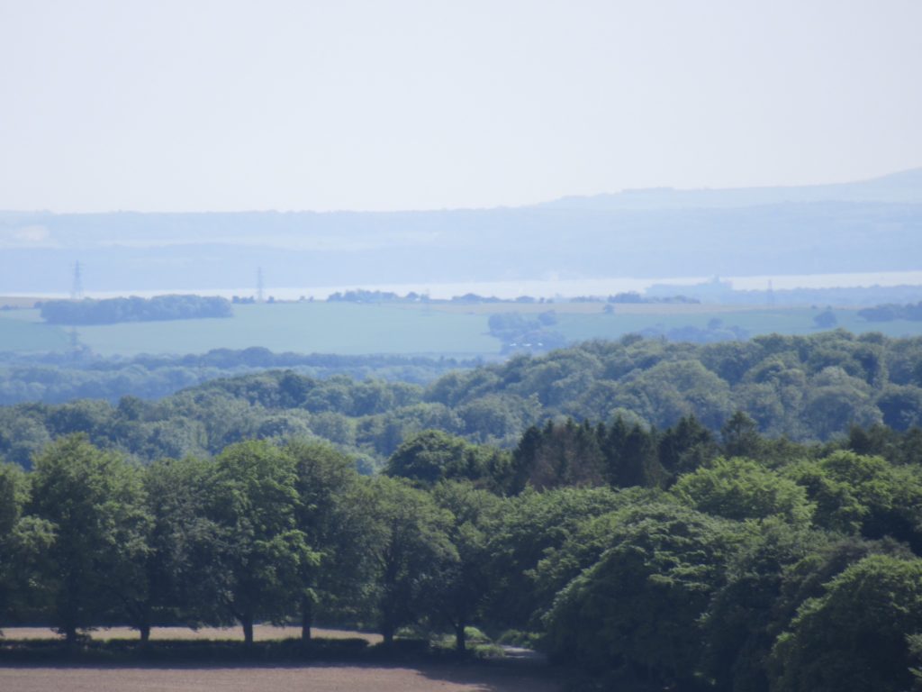
Not sure if it’s the Isle of Wight or looking across the bay

I wanted to drop packs and climb up the face where the sign was. Bunny was willing to pass up this once in a lifetime opportunity to see a field on top of a mountain filled with sheep. I dropped my pack and climbed up the half mile, one way to the top. The views were as promised. 

The high point of the Winchester Hill fort

When I got back down, Bunny was ready to hike. She had wanted to leave me because I took so long. She took off while I got my pack on. A few minutes later we came to a turn in the trail which took us right back to where I had climbed on my side trip. I’d ended up wasting another half hour. We made it to Meon Springs a bit before 6. 

Hedge lined trails

My impetuousness had cost us almost an hour and made Bunny hike an extra 0.8 miles (and me 1.8, but that doesn’t count). We are the only people in camp tonight. There aren’t showers as we had hoped, but there is electricity, running water, and snacks. Better yet, we have a picnic table and flushing toilets. England has good things. 

A bit more fort history

EFG