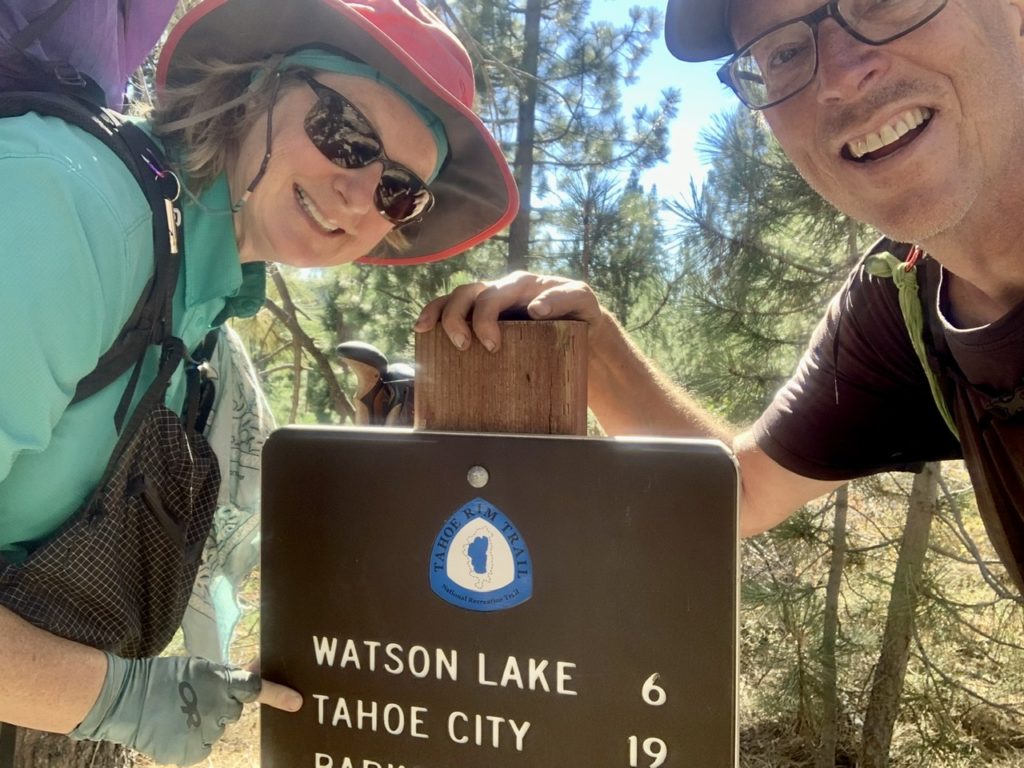
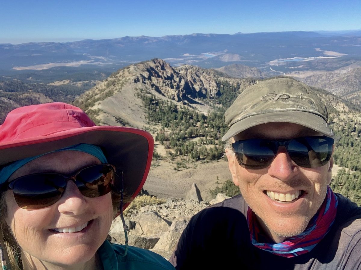
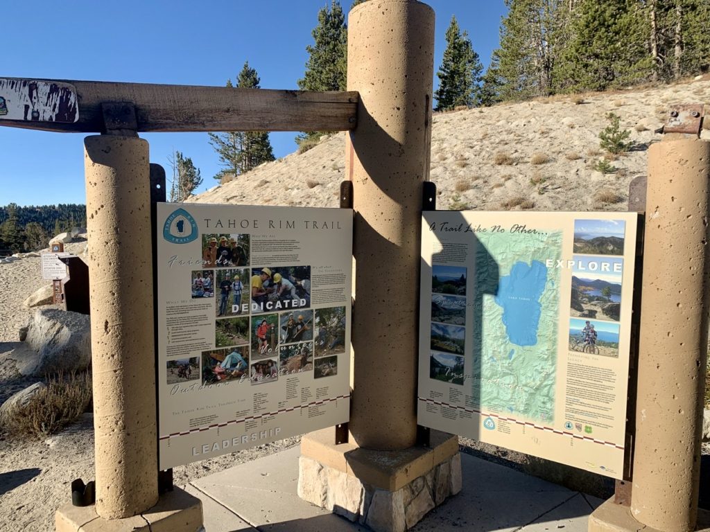
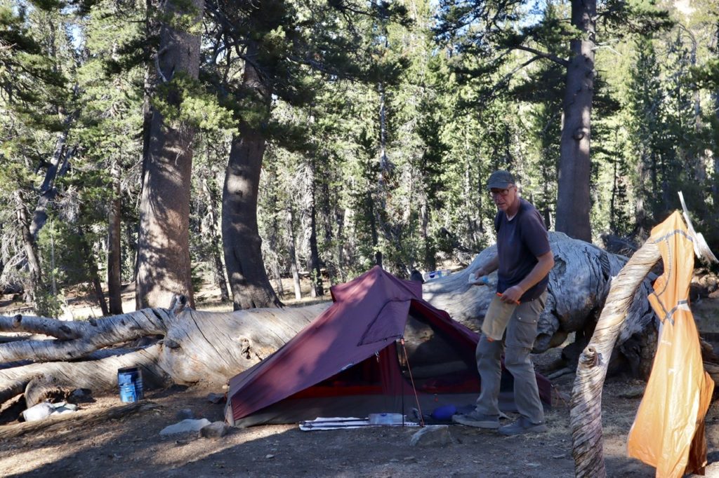
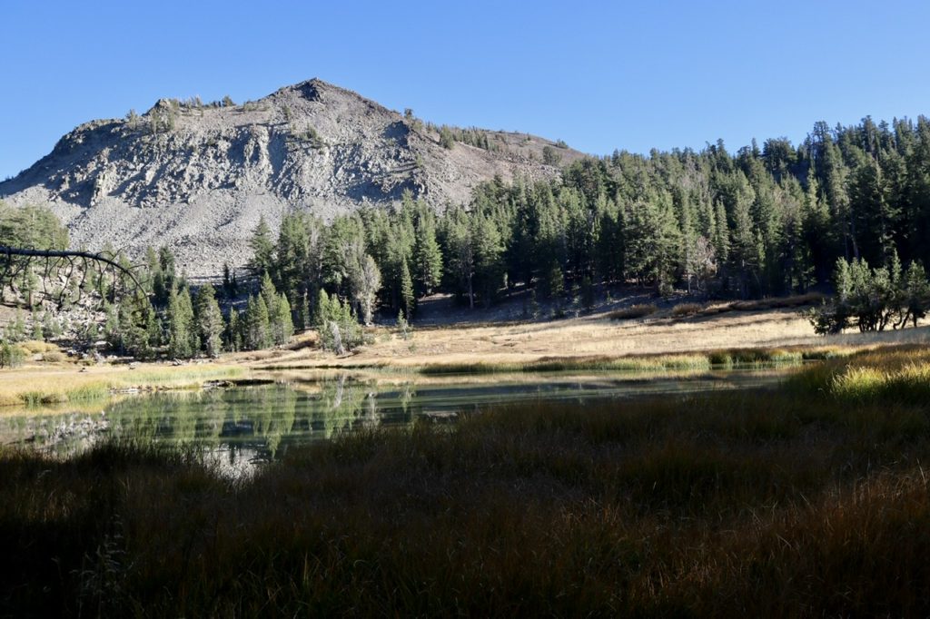
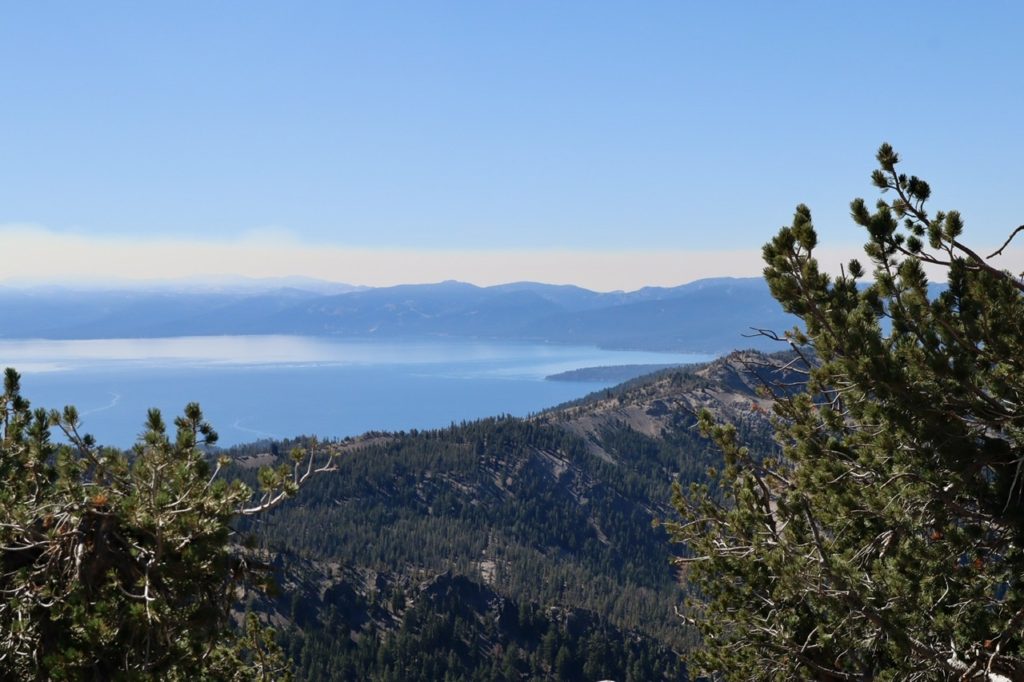
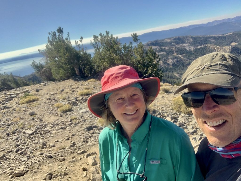
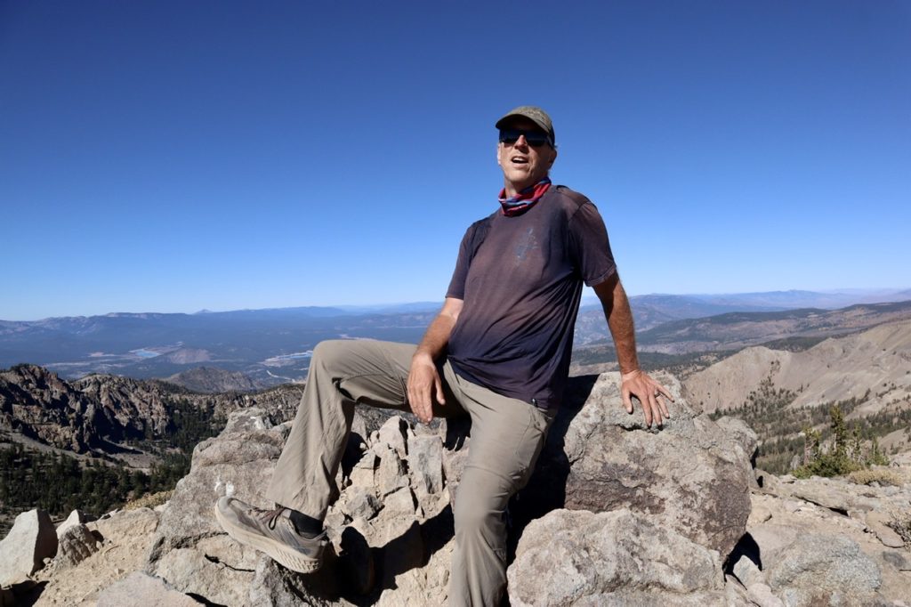
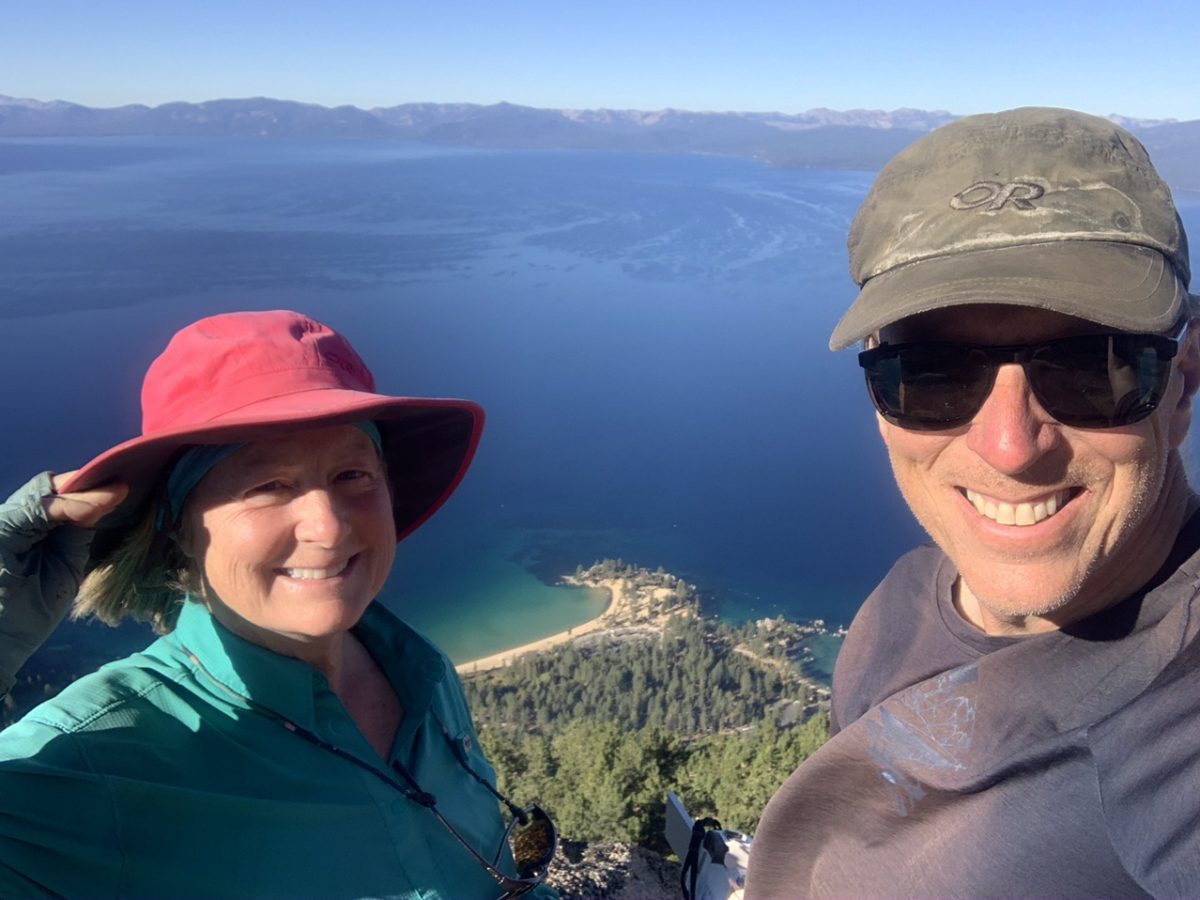
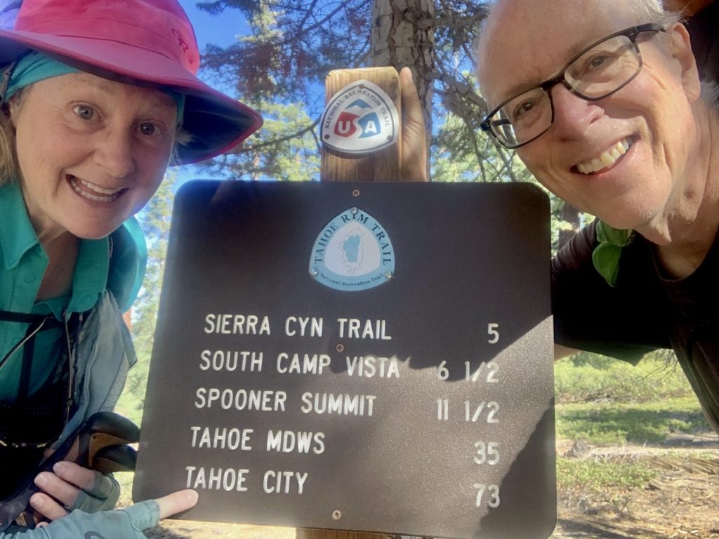
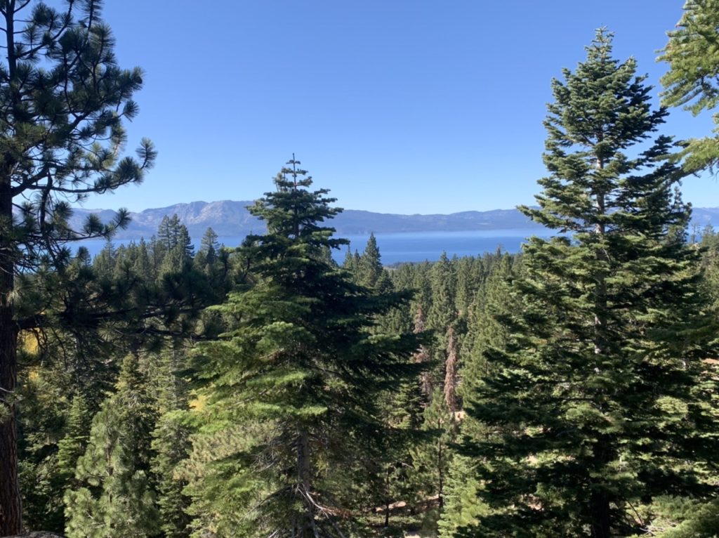
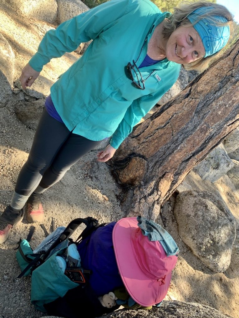
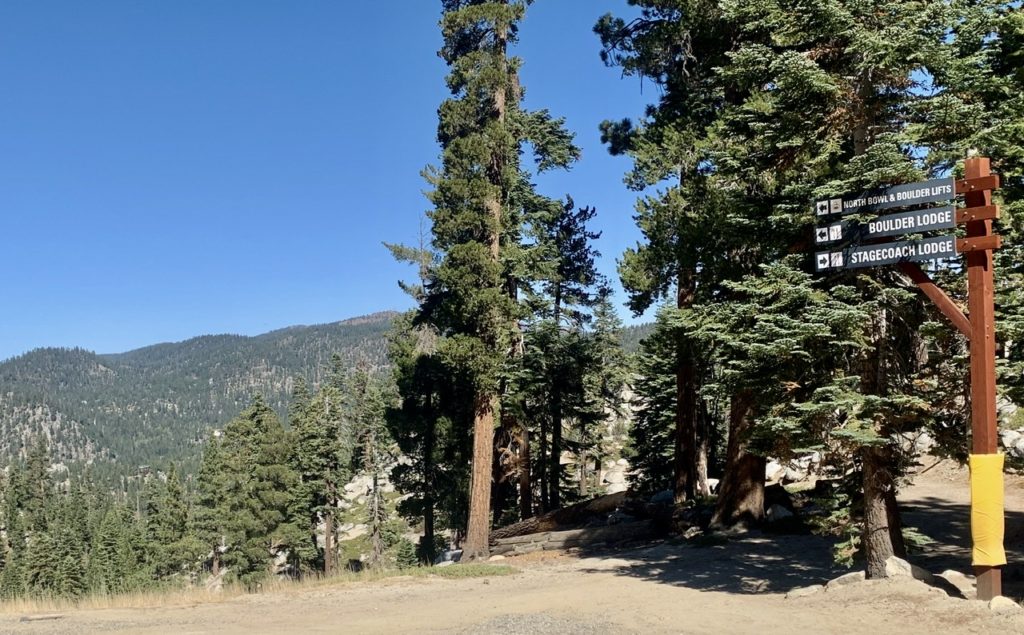
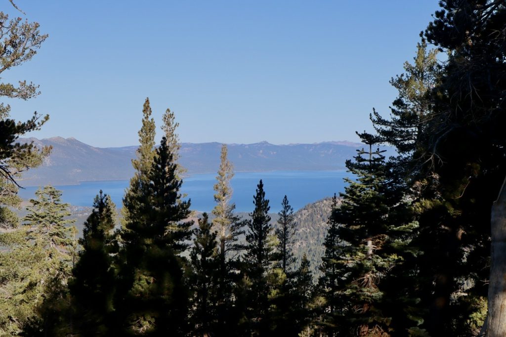
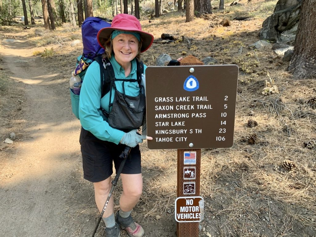
Day 23, Sunday, October 18. Tahoe City, TM 0.0–(13.9 miles)

Spoiler alert: we made it, but not without some tribulations and surprises along the way today. Let’s start with the morning.

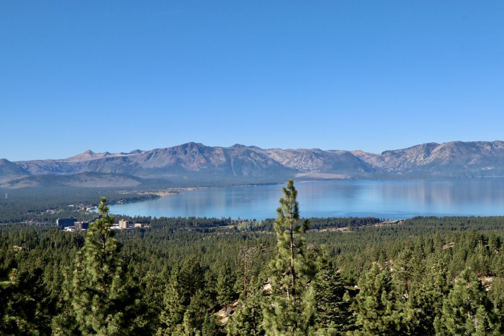
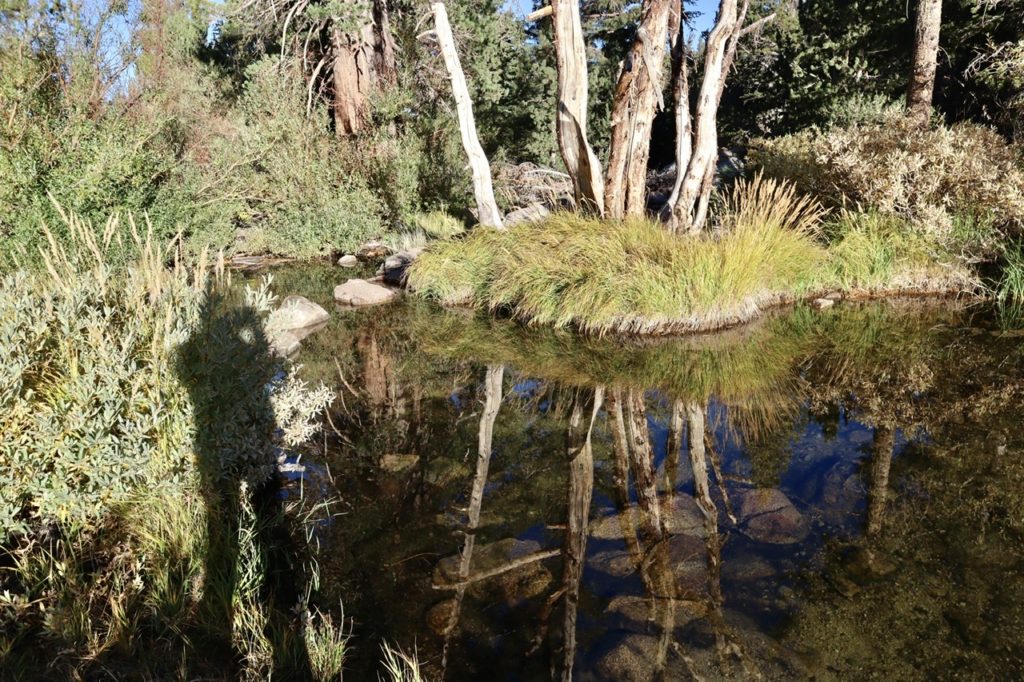
We ended where we began…on the Truckee River in Tahoe City

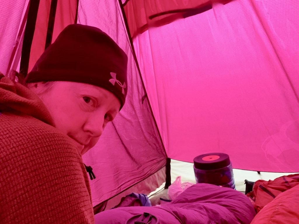
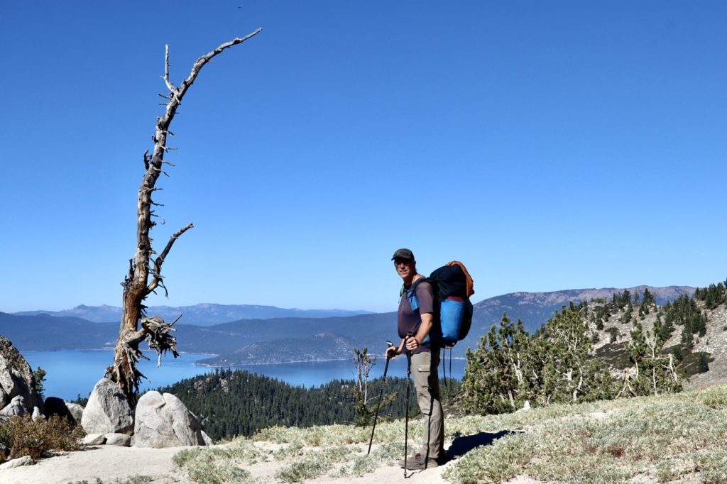
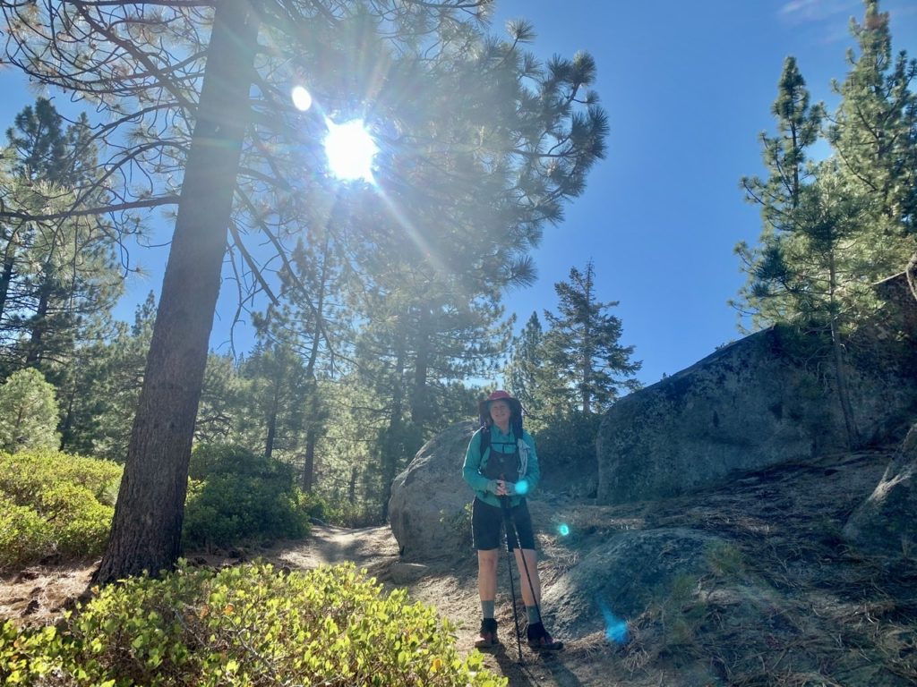
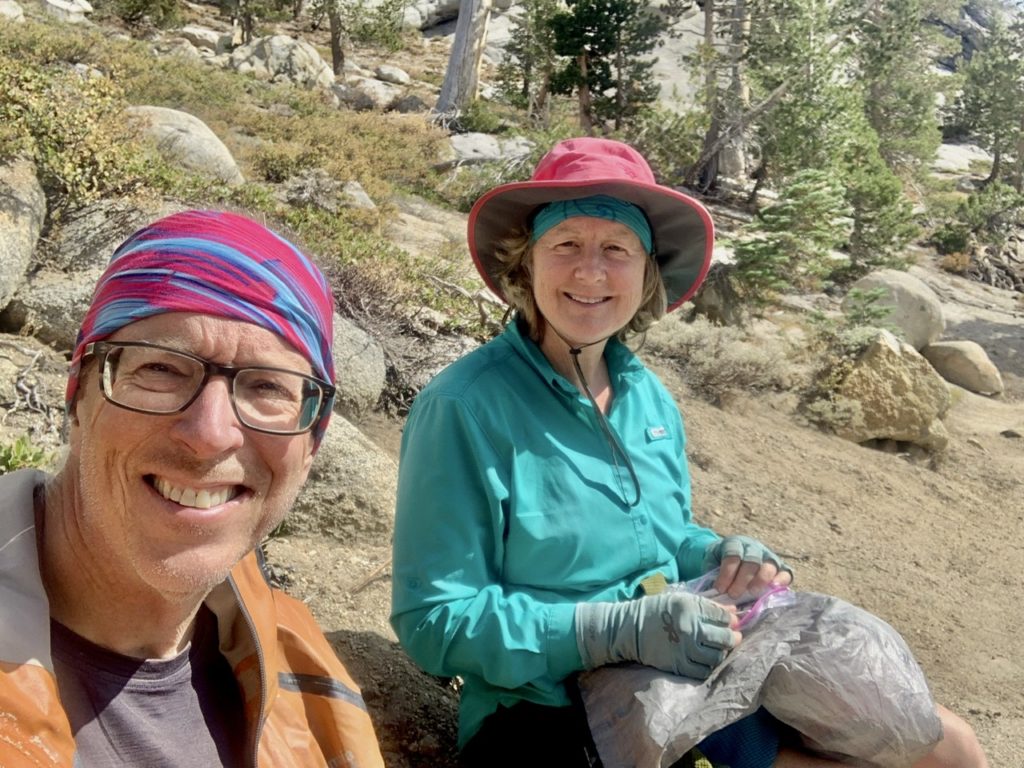
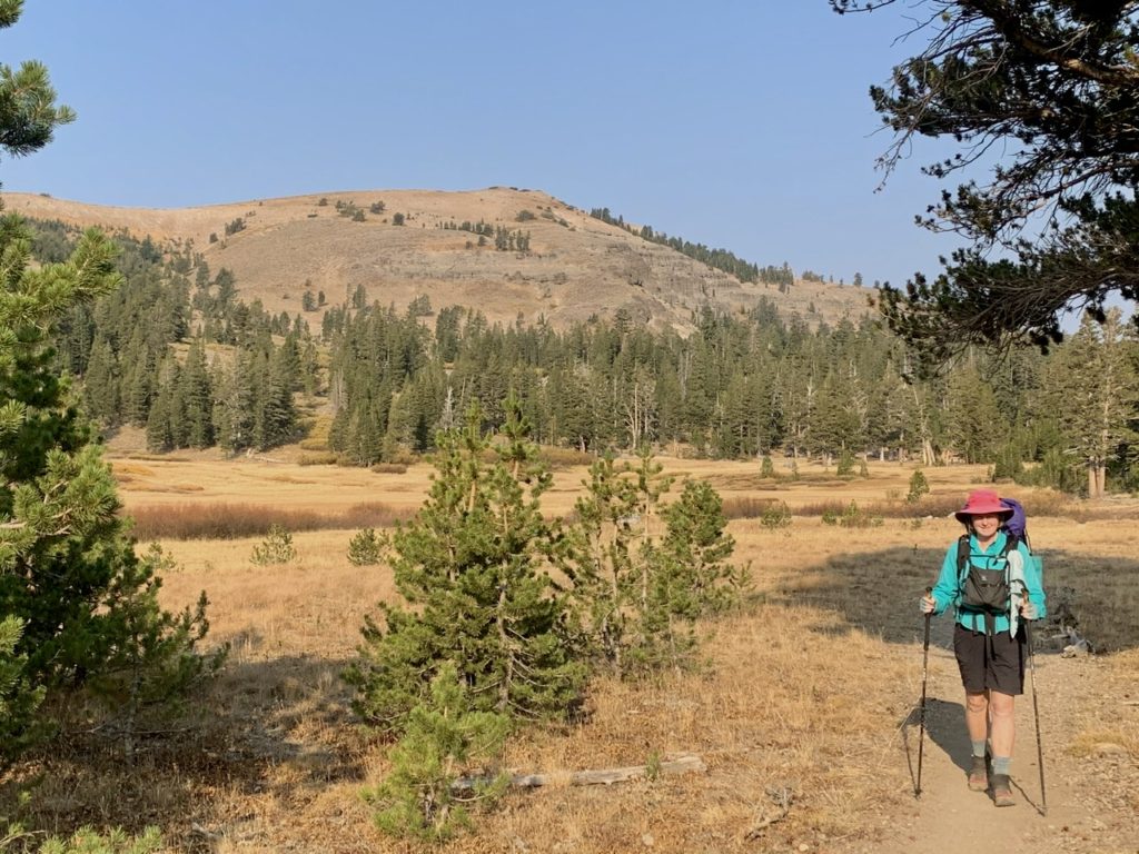
Bunny agreed to make breakfast this morning since it didn’t require lighting the stove. We had peanut butter and jelly out of squeeze tubes with a bag of salted peanuts. It was not satisfying but we did get 440 calories each. She contemplated cold coffee vs no coffee and opted for plain water. This was not the dream breakfast in bed that I was hoping for. We skipped coffee and morning poos and were ready to hit the trail at…8:20. It just proves my point, no matter what we do in the morning or when we wake up, we will hit the trail between 8:20 and 8:40. 
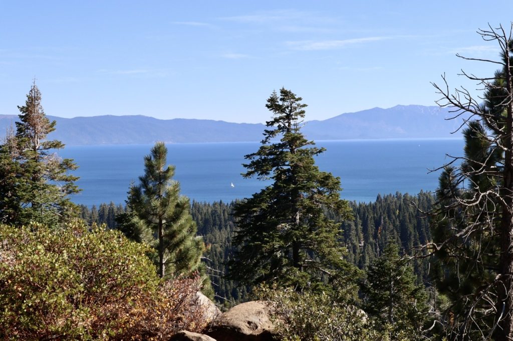
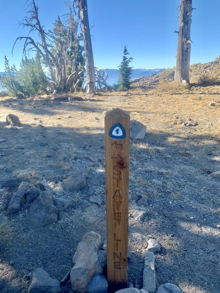
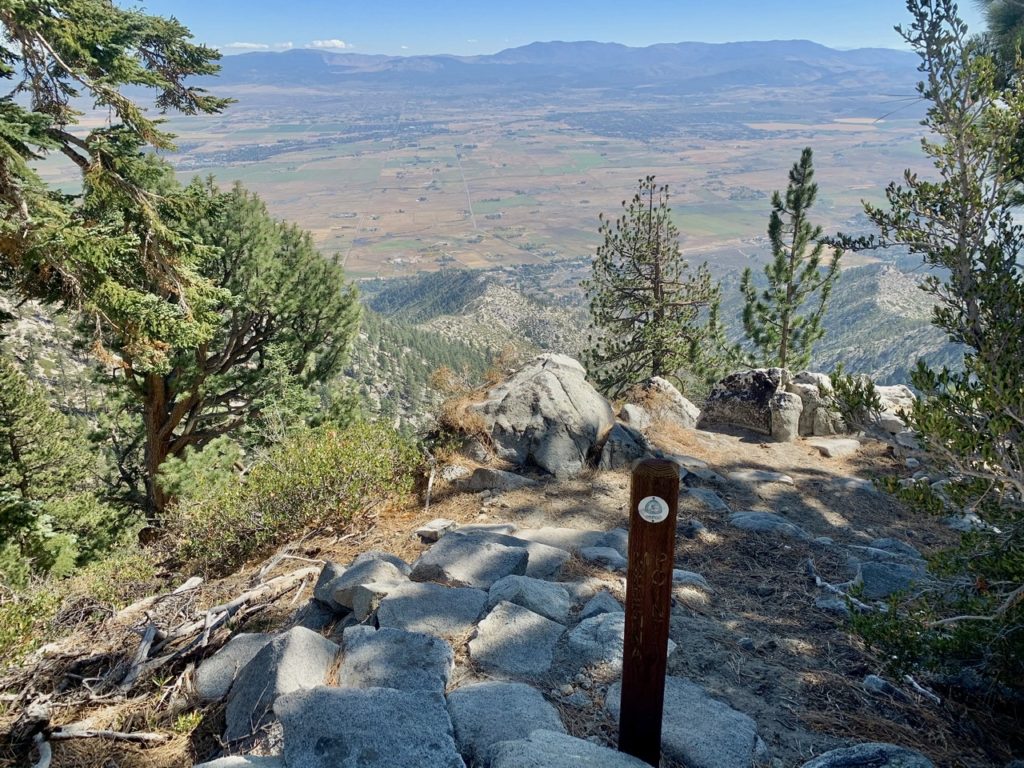
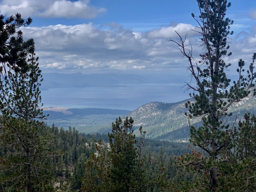
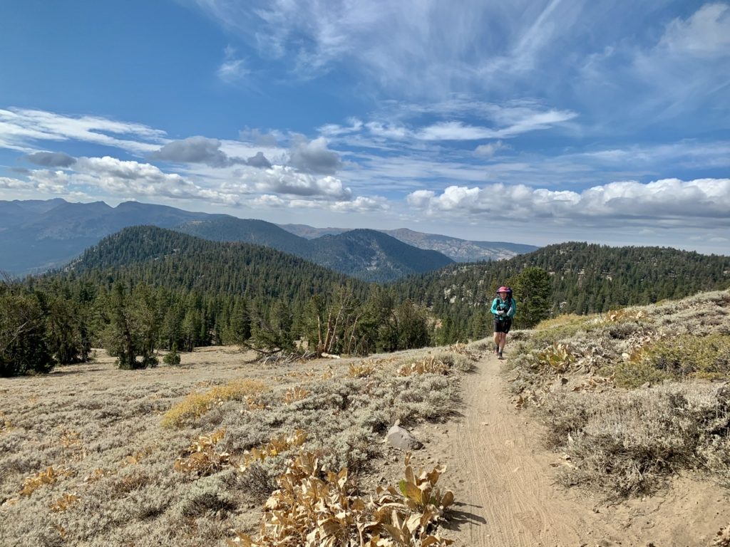
We got to keep an eye on this blue thing most of the way into town

Bunny was a possessed walker all morning. I had to keep begging her to slow down. I did discover the secret to speeding up the Bunster was skipping coffee. 6 miles later, I realized she was giving it everything she had in the hopes of making it to town before the inevitable energy crash. A noble attempt, but a failure, nonetheless. I’ll admit that I was also feeling very sluggish like I had lead weights in my feet, pants, and pack. When we got to town, I discovered Bunny had put rocks in the bear canister, I had a pound of dust and gravel in each of my shoes, and, in reality, I had only skipped the coffee this morning. 
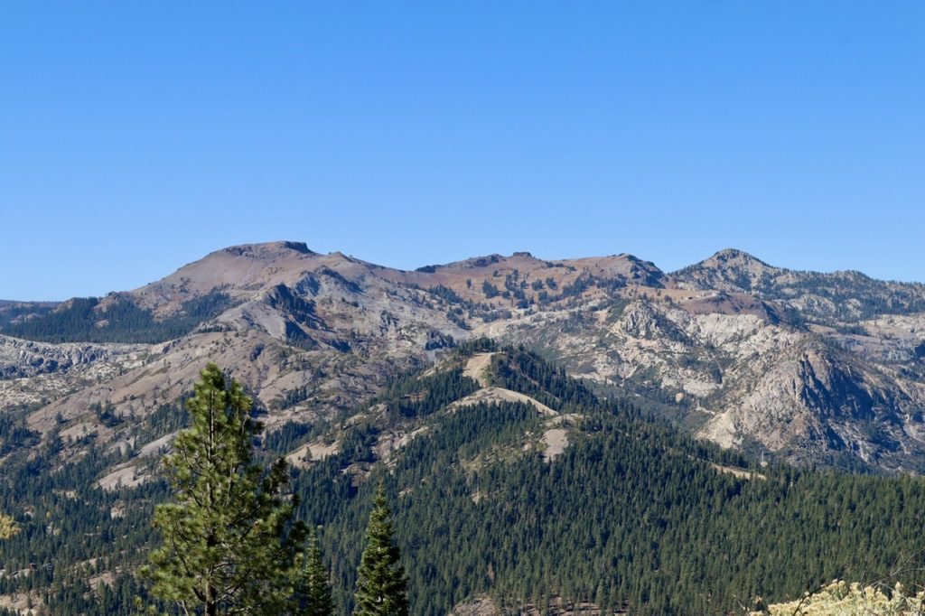
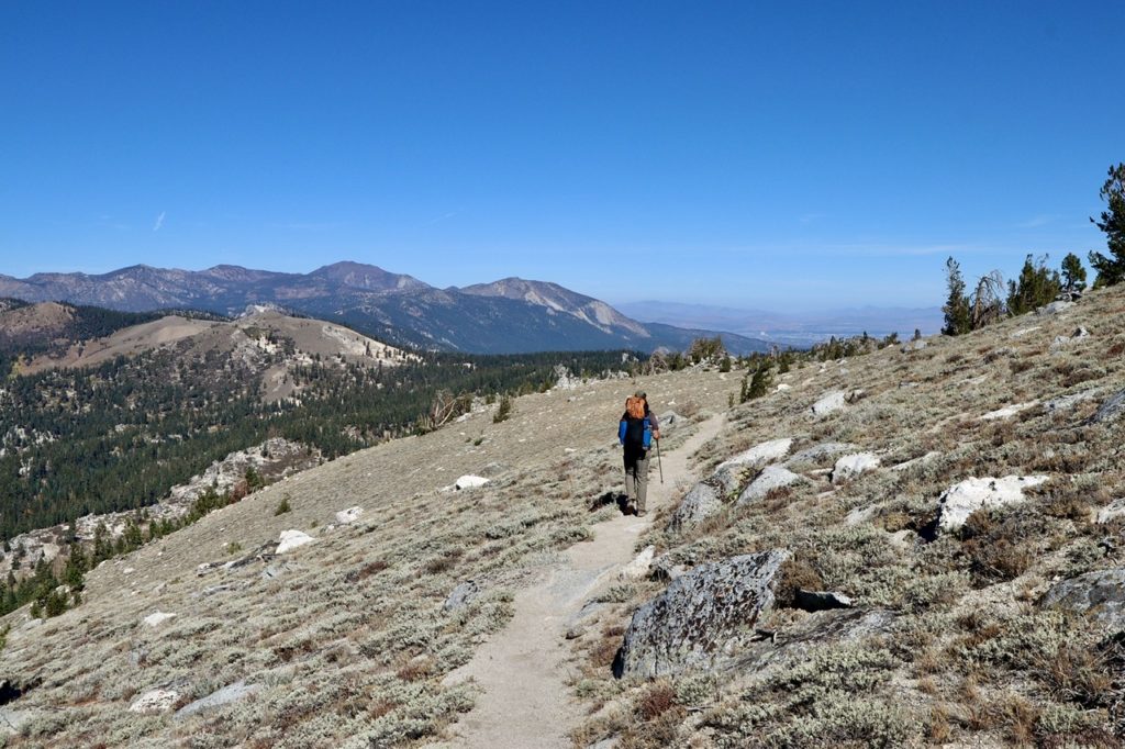
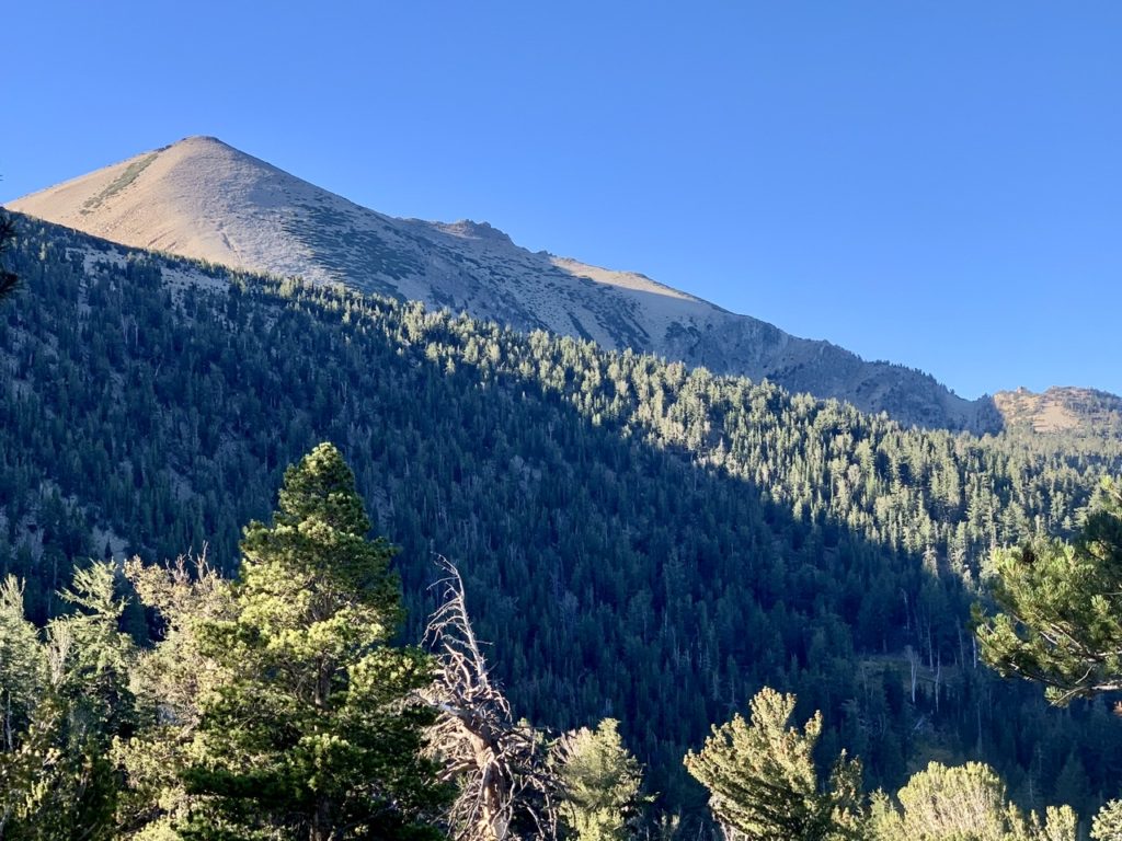
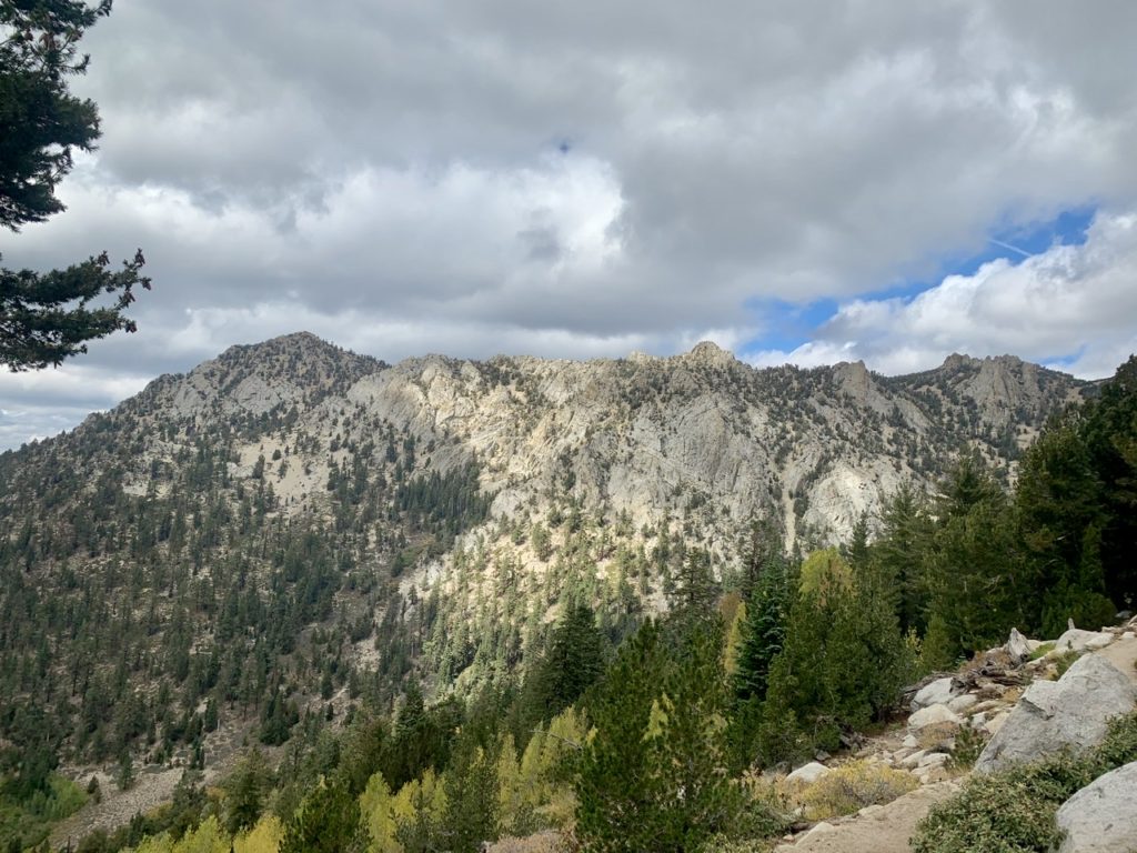
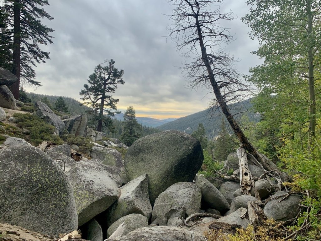
The ridge opposite above the Truckee River Valley

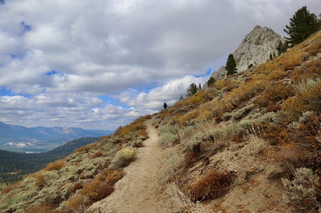
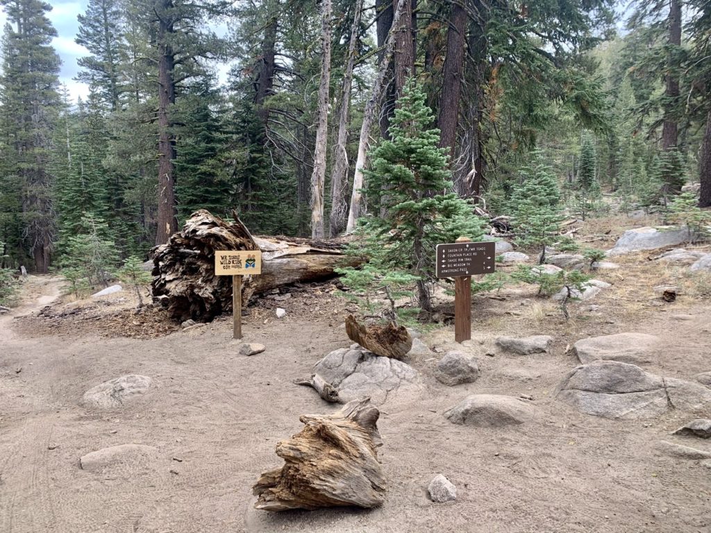
We didn’t run into as many hikers today, but we did run into a lot of mountain bikers. The trail bed has been pulverized by the bikes to the consistency of 3” of talcum powder. I’ll admit, I was dragging and ready to be done. Although the bikers were friendly, it still scares the crap out of you when they zoom up silently behind you (that’s the cause, and I’m sticking to that story).
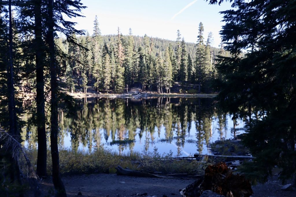
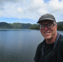
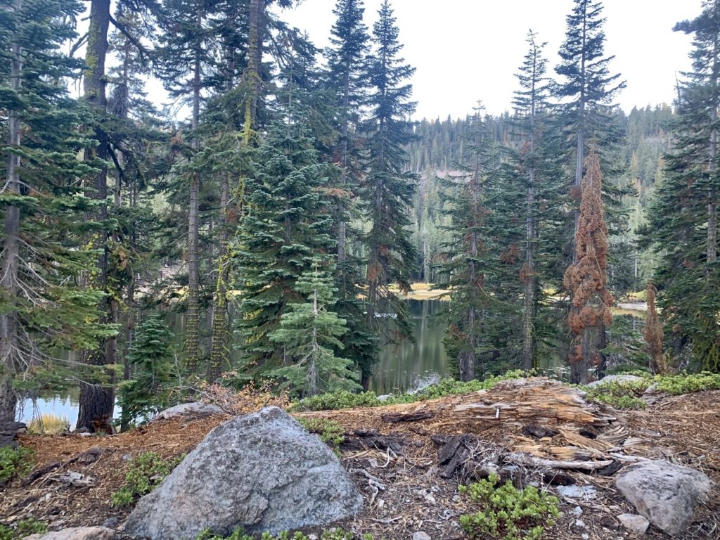
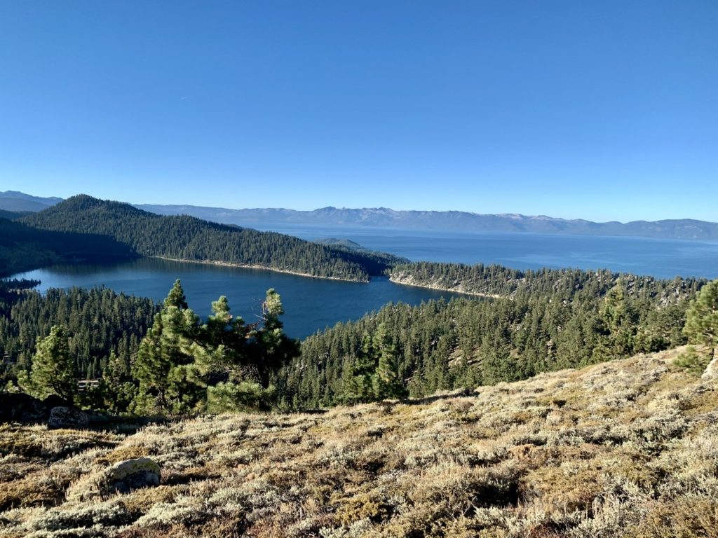
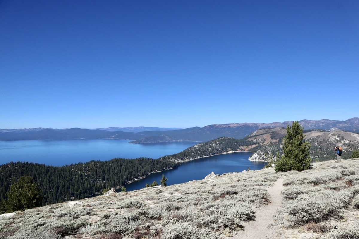
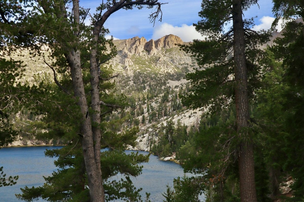
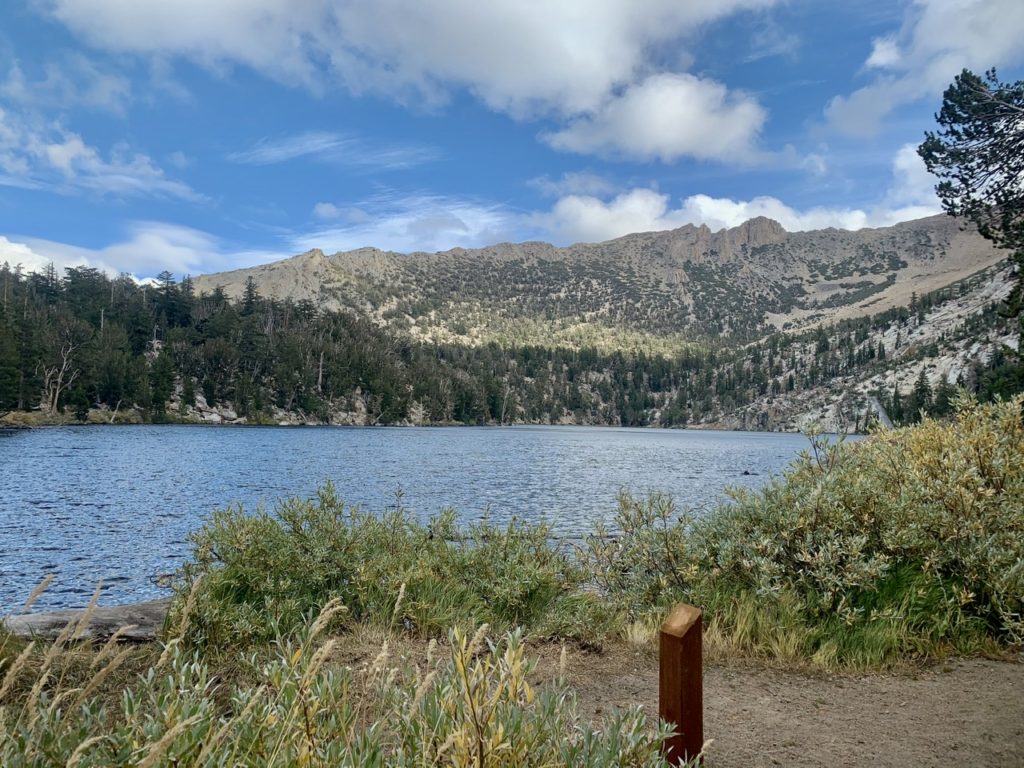
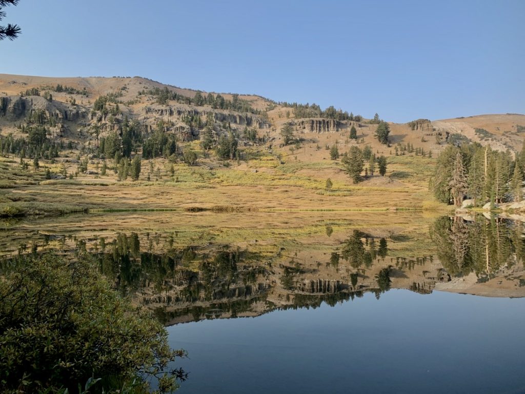
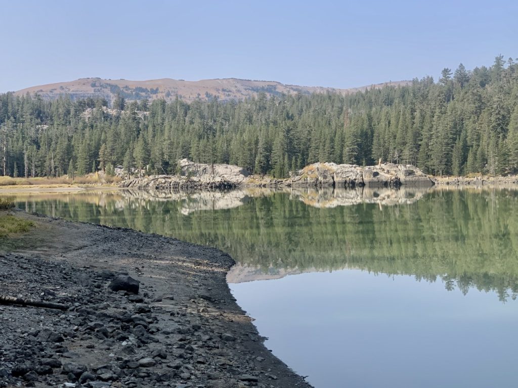
Watson Lake on the morning of our last day

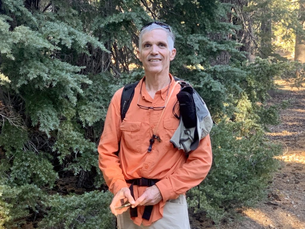
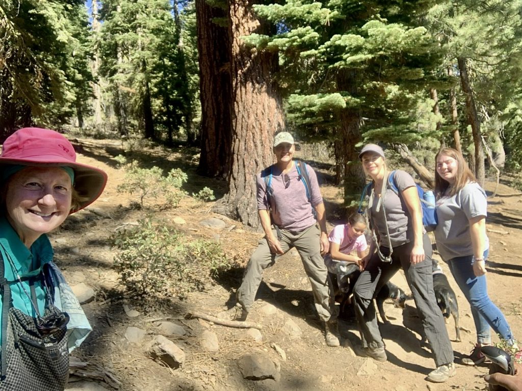
As we were climbing the final hill before dropping into Tahoe City, we met a trio of day hikers. They asked if we were out for an overnight…Cascade Locks, 3 1/2 months, 1000 miles, TRT, yada yada yada, finishing today. We discovered this was “The Nomadic Mango” (check them out on Instagram) who were doing similar to us. They had sold everything last year and were planning on traveling the world. They had been to Thailand, Vietnam, Malaysia, Singapore, and Sri Lanka last year before returning home for the holidays. Once Covid hit, they took refuge in Tahoe City for several months. They will probably spend the winter in Mexico before resuming their world travels next year. Obviously, they were more successful than we were in financial planning. They are traveling the world while sleeping in beds every night. We can only afford the ground for the majority of nights. 
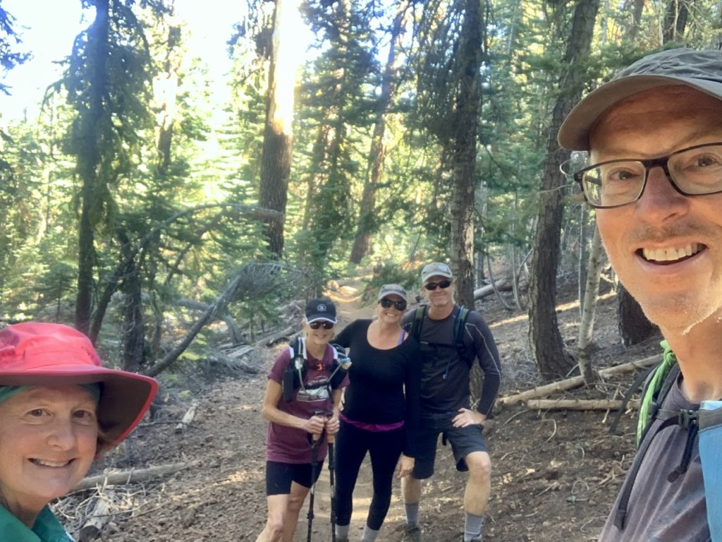
The Nomadic Mango

This gave us a bit more energy to know we are not alone in our choices. In fact, we have met so many people the last few days that told us we were inspiring because of our choices and willingness to take the risk to hike and see the world. We have been very lucky and blessed. 
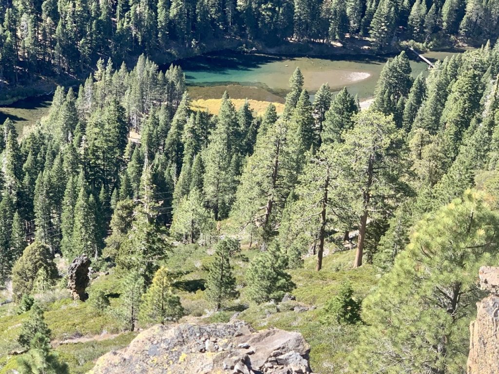
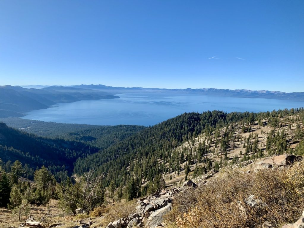
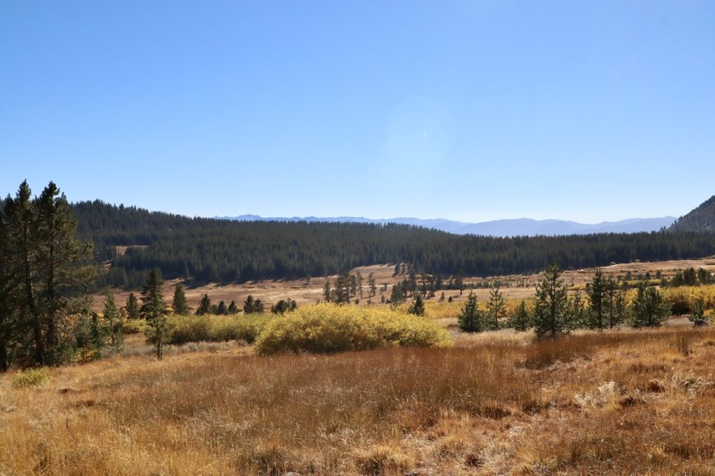
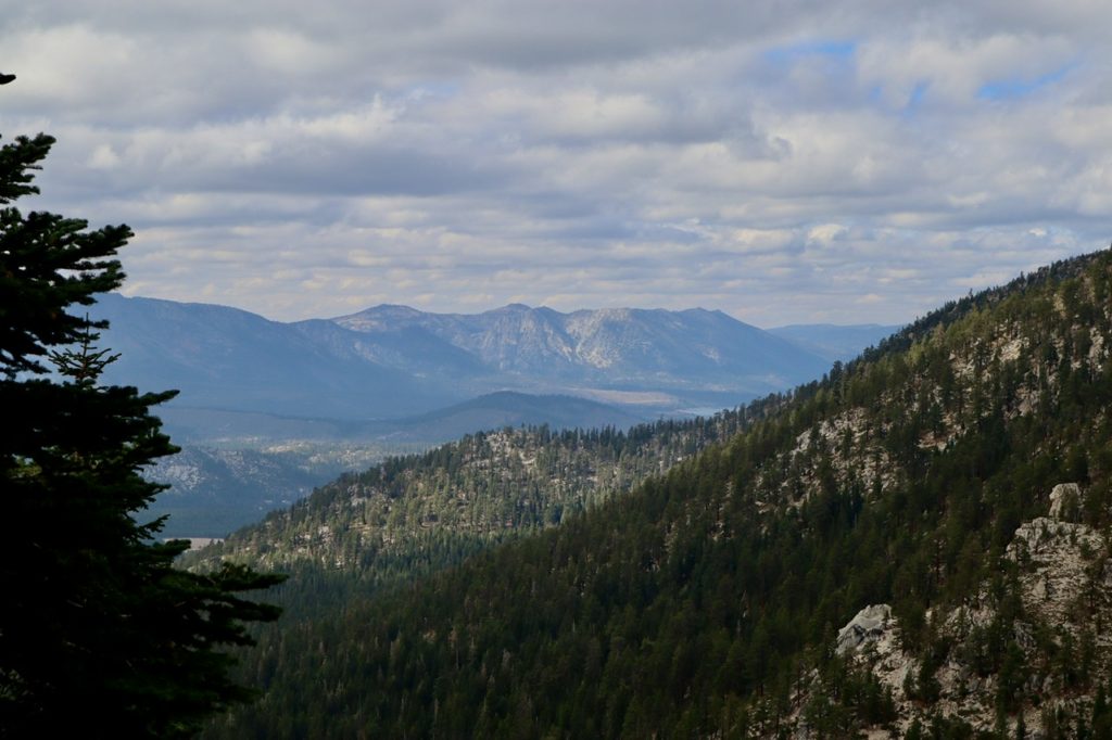
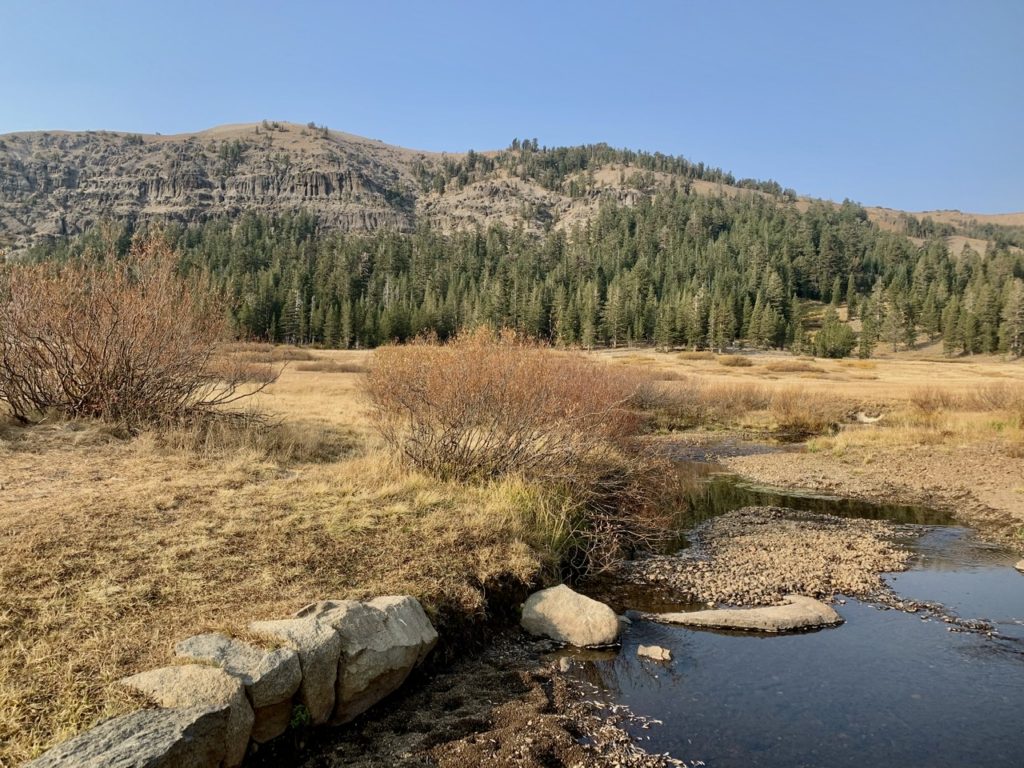
The Truckee River below us

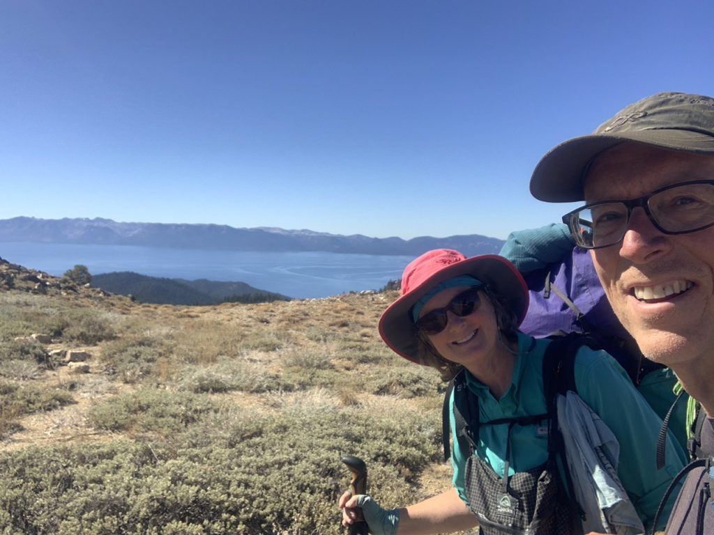
As we got to the top of the last climb and only had 5 miles left to town, we got our biggest surprise, yet. Steve, who we met yesterday finishing the TRT, had decided to come out and meet us for the final downhill to town. This is the first celebration we have ever had at the completion of a trail, and the most (pleasant) memorable finish to a trail. (Our freezing finish to the AT will be hard to ever forget…we’ve tried). 
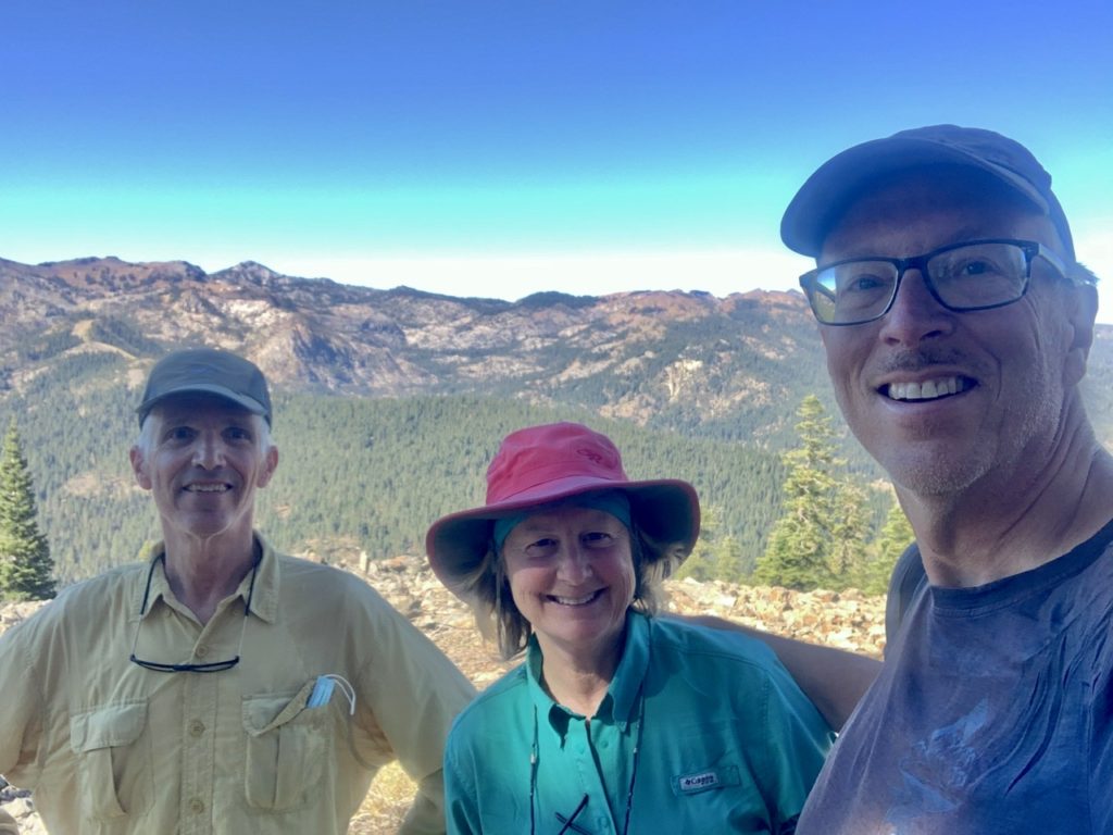
A surprise escort on our last day…Steve!

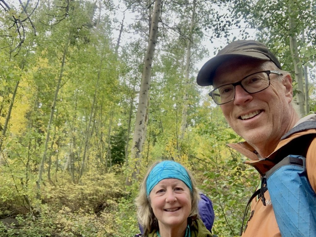
We walked to town with Steve and got to know each other’s stories more that just a 45 minute encounter on the side of the trail. When we return to finish the PCT, we will get together with Steve (henceforth known as “Strider”) and maybe get to hike together for a few days. We shared celebratory burgers at BridgeTender on the Truckee River.  This was both the start and finish location of our TRT thru-hike. Thank you Strider for recognizing our accomplishment and making it special. 
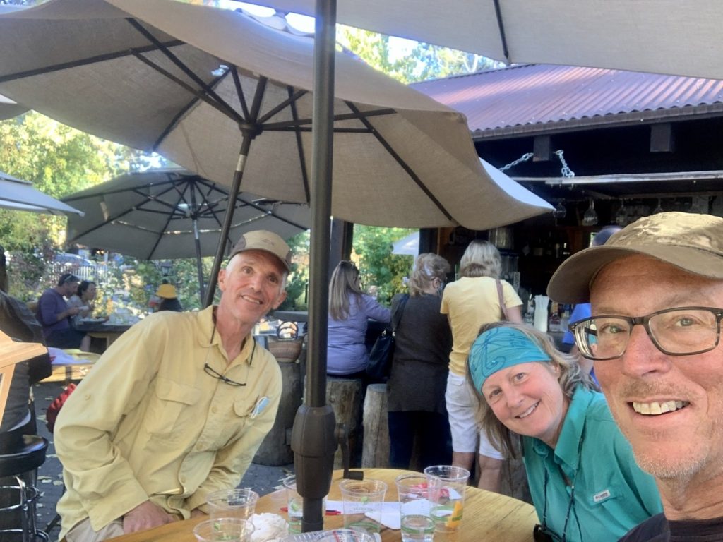
Strider joined us for a celebratory burger at the end of the trail

We’d also like to thank all the other people who have made our journey magical this year. (In no particular order) To Miles and Linda who brought us all of our supplies through the first half of Oregon when the Covid was at the height of uncertainty. Linda also introduced us to CBD topical oil which proved to be a godsend for our feet and other aching body parts. The drive to Olallie was a harrowing experience way above and beyond which was just one of many trips they made for our tramily. 
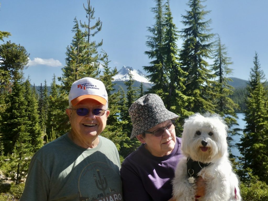
Miles, Linda, and Puff made several trips to keep us going

To John and Jenny who opened their house for 2 nights to a group of strangers. They fed us, clothed us, and washed us (not necessarily in that order…I’m pretty sure the washing came first). We hope they are safely returned to their home by now. They were forced to evacuate because of the fires in Oregon. 
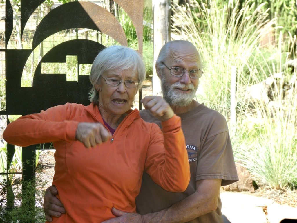
Jenny and John opened their house to four smelly hikers

To Karen and Pete who rescued us from the fires in Belden and gave us refuge in their home for several days while we figured out the “next step.” Karen and Pete tried to educate us to the trees of a mixed conifer forest (Bunny still remembers most of what she learned, but I’m a hopeless case). They showed us a side of CA we didn’t know existed. We had a great 4 days in their B&B (which they asked us not to share with other PCT hikers).
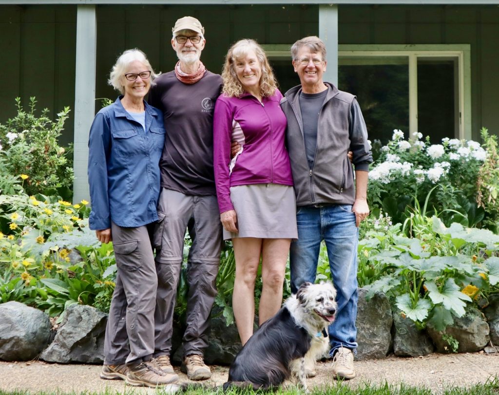
Struggles, Charcoal B, Karen, Pete, and Zena rescued us

And no thank you is complete without a huge shout out to our personal Trail Angel, Digit Alice. Digit was Bunny’s childhood friend who adopted us on our AT adventure. She has watched over us ever since sending us surprise goodies on the trail and opening her home to us in the off season. She kept us completely supplied on the TRT. Thank you, Digit. 

Digit Alice and Kodi look out after us on and off the trail

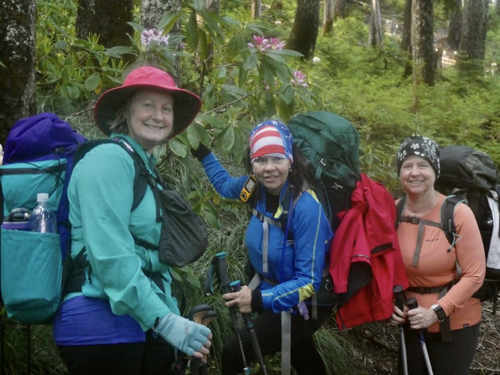
We also like to thank the wonderful friends we got to hike with this year. To Dancing Dog who made her 100 mile mark in a single outing. She stretched her comfort zone the most of all of us. She survived getting lost in the woods, crossed glacial rivers, walked on scary snow fields, and went the longest she had ever gone without bathing in her life. We’re glad to have witnessed the transformation to hiker trash. 
Dancing Dog (middle) transformed into hiker trash before our eyes

To Charcoal B and Struggles who we hiked with from Old Station to Belden. We met them last year while hiking the Washington Section of the PCT. Not only did we hike with them, they invited us to spend time with them in their beautiful home in Maui. We spent 3 weeks before being evicted the day that Hawaii closed due to Covid. It was because of Struggles cousin, Karen, that we survived to hike the TRT. We had planned on hiking longer with our Hawaiian Ohana but the fires changed that. I’d also like to ask everyone to keep Charcoal B in your thoughts and prayers this year. He will undergo surgery when they return to HI. We wish him a speedy recovery and hope to see them on the trail next year. 

Charcoal B and Sassy even invited us into their home after having spent time with us on the trail

Lastly, we need to mention the pair that abandoned us when the kitchen got “too hot.” Bear and Sassy have become two of our best friends and our best hiking companions. Together, we have hiked over 1000 miles together, and I do mean together. Our paces match up so well that we hike and talk together all day long. We have had the best laughs with these great friends. We look forward to many more miles of hiking with them. Until our next hike…
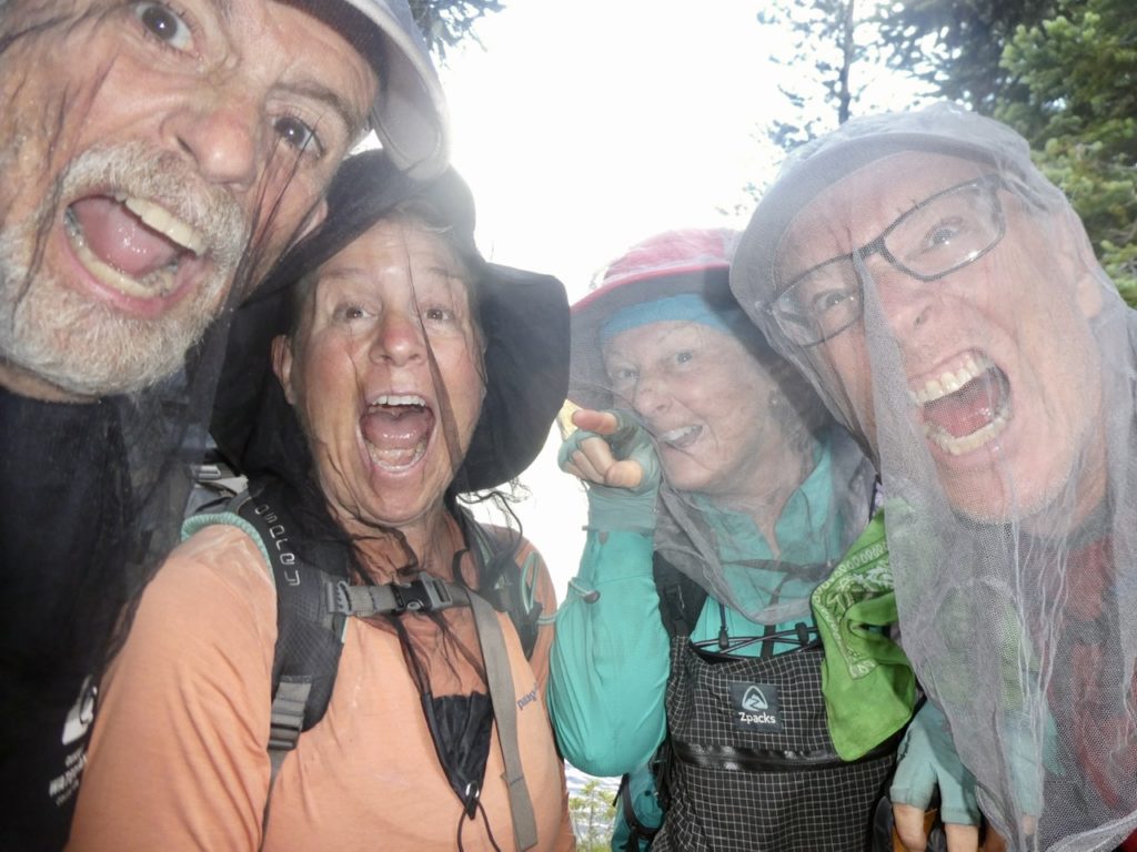
Even in mosquito hell, we were always laughing with Bear and Sassy

EFG

Day 22, Saturday, October 17. Watson Lake Campground, TM 157.8–(16.5 miles)

Beep, Beep…”I’m not ready to get up!”…”OK”…snooze

Beep, Beep…”I’ll walk faster if we can snooze again”…”OK”…snooze

Beep, Beep…”If I hit the snooze again, you’d better be willing to run today”…”I’m up!”

The sun peaking over the mountain as we start our day

The walk up from Gray Lake really wasn’t that bad. Part of the reason may have been Bunny’s promise to move faster today. Our total (gross miles) will be close to 18 today, making this the longest day we’ve hiked since we were in the Trinity Alps. Once we made it back up to the rim, we’ve got a predominately downhill stretch for over 10 miles. 

Bunny has extra pep in her step

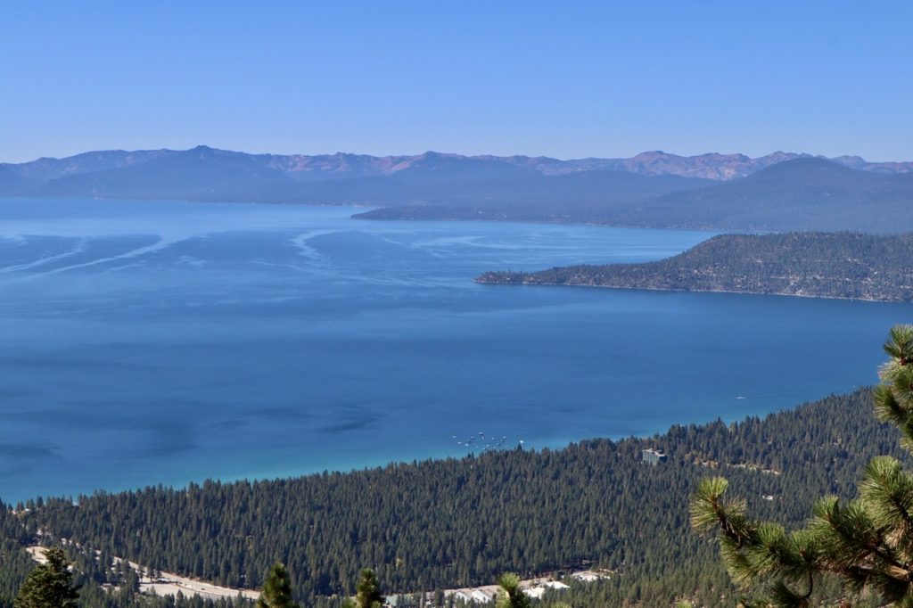
Lake Tahoe greeted us once we were back up. It was a relief to see it hadn’t drained over night. I read at the Truckee Dam that Lake Tahoe has multiple faults running through and underneath it. As I’ve mentioned, Tahoe is not a volcanic cone like Crater Lake. Tahoe is actually the result of land slides and plate tectonics blocking off a water exit path until it got deep enough to rise to the rim—Truckee River. Scientists have determined that with the presence of multiple fault lines combined with the volume of water in the lake (over 40 trillion gallons), tsunamis are theoretically possible. 

What a relief that Tahoe is still there waiting

For the sake of all the families with multi-million dollar homes along the shore of Lake Tahoe, I’m going to make an offer, out of the kindness of my heart, to save the lives of your precious loved ones. I will offer $0.01/$100 assessed value. This offer is only valid for the first taker, but imagine the peace of mind the owner of that $10M home will feel knowing that he has saved the lives of his children (and their innocent puppies with big sad eyes). Not only will lives be saved, he will pocket $100K for that ‘death trap’ on the shore. Hell, I’ll even let him keep his boat docked there. I’m just that sweet of a guy. 

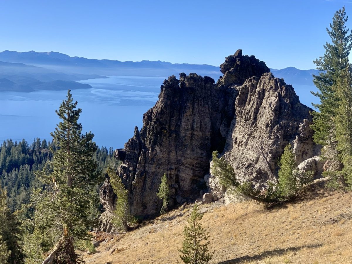
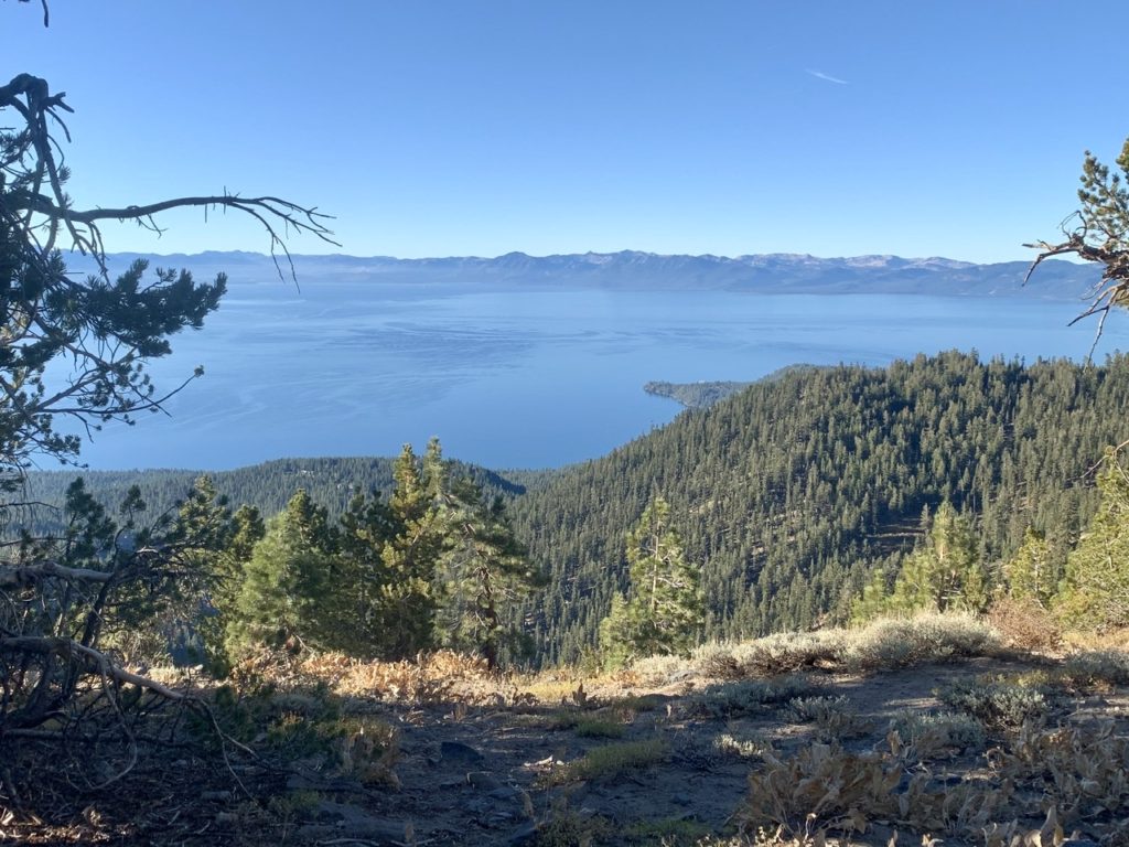
Mt Rose Wilderness had some of the best views of Lake Tahoe

We saw more people today than we have the entire 3 weeks we’ve been hiking the TRT. The first person we met was just a couple miles out of the box for us. He took one look at us and asked “Are you starting or finishing up?” We said finishing tomorrow. He said “I’m finishing today.” This was Steve.

Steve knew who we were as soon as we started talking

Steve is the only other person we’ve met so far that is finishing the TRT this year. He has spent the summer doing 20+ mile days on the weekends. He and his wife, Tracy, moved to Reno about 4 years ago and he is wanting to explore all the trails in the area. If he can pull a loop off, he will, but most times Steve parks at a trailhead and then Tracy will pick him up at the end of the day and take him back to his truck. We talked to Steve for well over 45 minutes. 

Steve is finishing the TRT today

When we started telling him our story, he interrupted us and asked if we were from Missouri. When we said we were, he asked if we had gotten forced off the PCT because of fires. We did. Steve told us he had met a couple of women 2 weeks ago in Desolation Wilderness that told him about us. He said we were inspiring which is a guaranteed way for us to automatically like someone. We tried to figure out who the two women were that told Steve about us, but we were drawing blanks. We both said we’d think about it. Steve, we figured it out, but you’ll have to read on for the answer. 

Back into California

After we left Steve, we tried to pick up our pace a bit. Bunny had set a goal of having 10 miles in by noon (a goal we didn’t make, but it was worth not making for all the interactions with people we had today). This is when we started running into large groups of people. We were expecting to see more bodies out today, but it felt like we were spending more time on the side of the trail letting people pass than we were hiking. Occasionally, someone would ask if we were out for the weekend. When we would say, “No, we’ve been out 3 1/2 months,” that usually led to a conversation. 

The state line runs right down the middle of the lake

We met one family out with their kids and two dogs. Dogs are usually a guaranteed way to get my attention. The dad asked if we were doing the whole trail. This led to our whole schpeel about starting at Cascade Locks, 3 1/2 months, fires, yada yada yada, finishing tomorrow. His wife was from Germany which led to another conversation about our European adventures in 2017. 

A nice family we spent sharing stories with

They told us of their first backpacking adventure. His girlfriend, now wife, from Germany, had a different idea of camping than he did. She ended up carrying way too much stuff, including a Monopoly Game. Anyone that knows Germans know they follow through when they commit to something. Sometimes this is persistence, sometimes it’s stubbornness. She carried her pack for 8 hours without backing down. Ultimately, they said we were inspiring. We liked them immensely. 

A view of the eastern shore from earlier in the day

They also told us the reason there was so many people out was that there is a popular spot, called Picnic Rock which is only a mile and a half off the road. They asked if we went up it. Side trails and Bunny aren’t a normal thing. Plus, we had just been over Relay Peak yesterday and Sand Harbor Loop the day before. I just don’t think there’s a view of Lake Tahoe that can top either one of those. We’re skipping the remaining views that require side trips. We got to CA 267, which is another route from Truckee to Kings Beach and got a feel for what we were seeing. There were hundreds of cars lining the highway. 

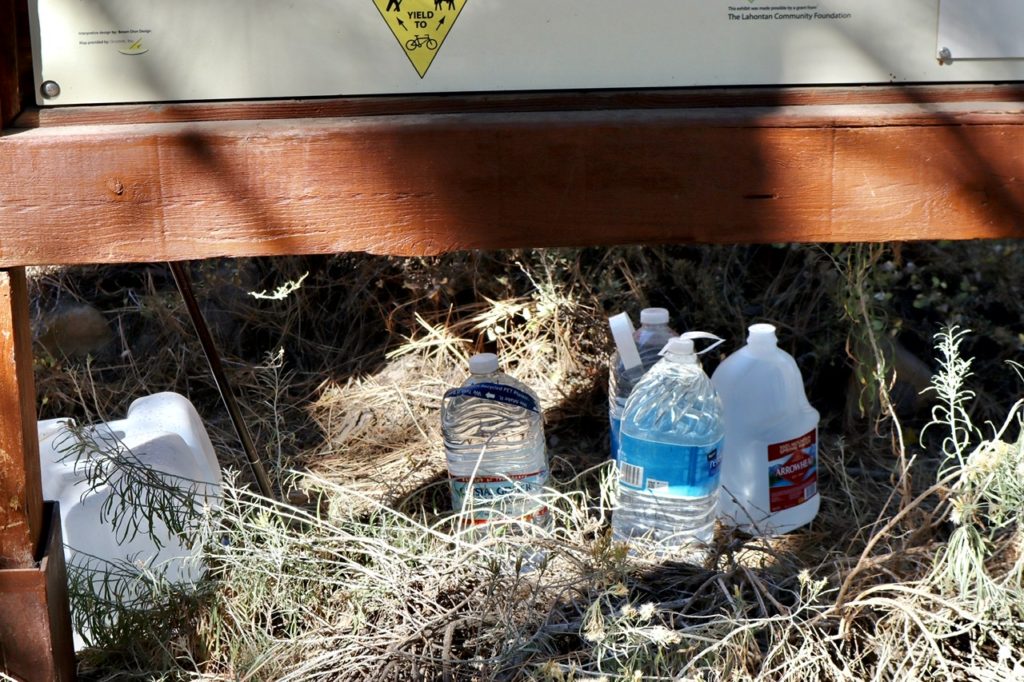
This was our 10 mile mark and spot we were going to stop for lunch, but there was just too much activity for us. We decided to push on to get away from the road noise. There was a water cache by a TRT sign and I did grab a liter to be safe. 17 miles is a long way between water sources for us. The people were definitely fewer on this side of the highway. 

A water cache when we needed it

I saw some people ahead, so I stepped off the trail to let them pass. Bunny and I aren’t wearing our face masks on the trail so we try to maintain social distancing. Most day hikers do have their masks on, but this woman stepped out in the trail and stared at me and was looking around me at Bunny. She then said “we know you. You’re from the M state. We met you 2 weeks ago in Desolation Wilderness.” The pieces all fell into place. 

I took advantage of the water

I told Rose and Erin (we didn’t know their names yet) that we were just talking about them today. We had met Steve a few miles back. They immediately remembered Steve. The day we had met them, they got back to their car and had some beers, but they didn’t have a bottle opener. Steve was there and had one. They offered him a beer (something they didn’t do with us) and told him about this crazy couple that quit their jobs and went hiking. 

Rose and Erin came across us for the 2nd time on this hike

Rose is planning on thru-hiking the TRT next year with her boyfriend. She and Erin are out day hiking and trail running to keep in shape during Covid. I suggested to Rose that she do the TRT CCW. I was planning on mentioning this in the epilogue to this trail, but that’s only a day away, so I’ll do it now. 

Less than 20 to go!

If you start in Tahoe City, I’d suggest CCW because: the west side of the TRT is shared with the PCT and passes through Desolation Wilderness. If it’s hiking season, you’ll be going the opposite direction of the main flow (think rush hour traffic—which direction moves better). Plus, from this side, you only get teaser views of Lake Tahoe making you want to keep going. But don’t rush by all these beautiful alpine lakes. 

Watson Lake

Once you get to the East side of the lake, you will enjoy spectacular views of the lake which you’ve been craving. The north side of the lake offers the highest vantage points and is the most difficult hiking which you will have built your legs up for. The final 30 miles back into Tahoe City will offer a variety of views which will be in the direction your heading, so you won’t have to keep looking over your shoulder to see what you’ve missed.

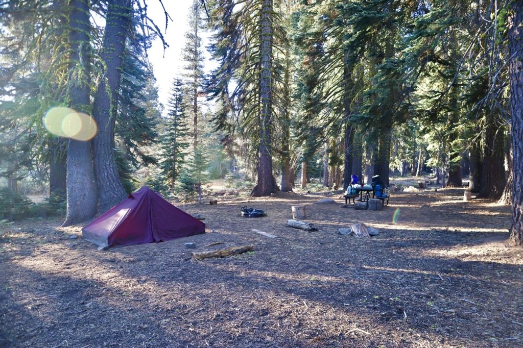
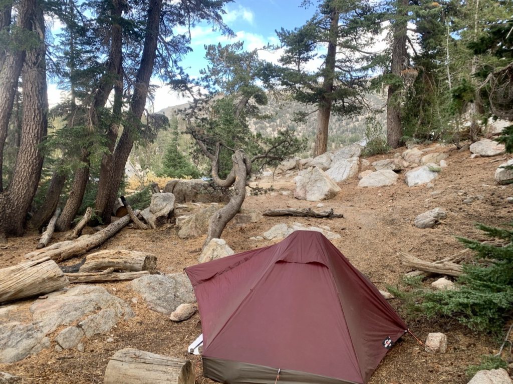
We found a nice spot in the trees for our last night out

We made it to Watson Lake with enough time to set up camp before it got dark (but we’ll past our normal bedtime of 6). We were afraid we might have difficulty finding a spot sine this is a popular campground. There was only one other camper there, Chris. Chris works for the National Park Service as a trail designer/builder. His permanent base is at Yosemite, but he’s recently been on loan to Bryce where he built a front country ADA compliant trail. 

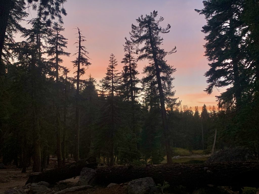
A bit of color before bed

We chatted a bit but it was getting darker. We had to rush to get the tent up, fetch water, clean off, and make supper. A frightening event (for me)  happened while making our tea. We ran out of fuel. I tried using my share of the boiling water for the meal and just giving Bunny her cup of tea, hoping she wouldn’t notice I wasn’t having tea. I knew there would be a reckoning, I was just hoping to delay it until morning. It went better than I had hoped for. Bunny only spat in my face and slapped me, but she still let me eat. 

EFG

Day 21, Friday, October 16. Gray Lake, TM 141.3–(10.5 miles)

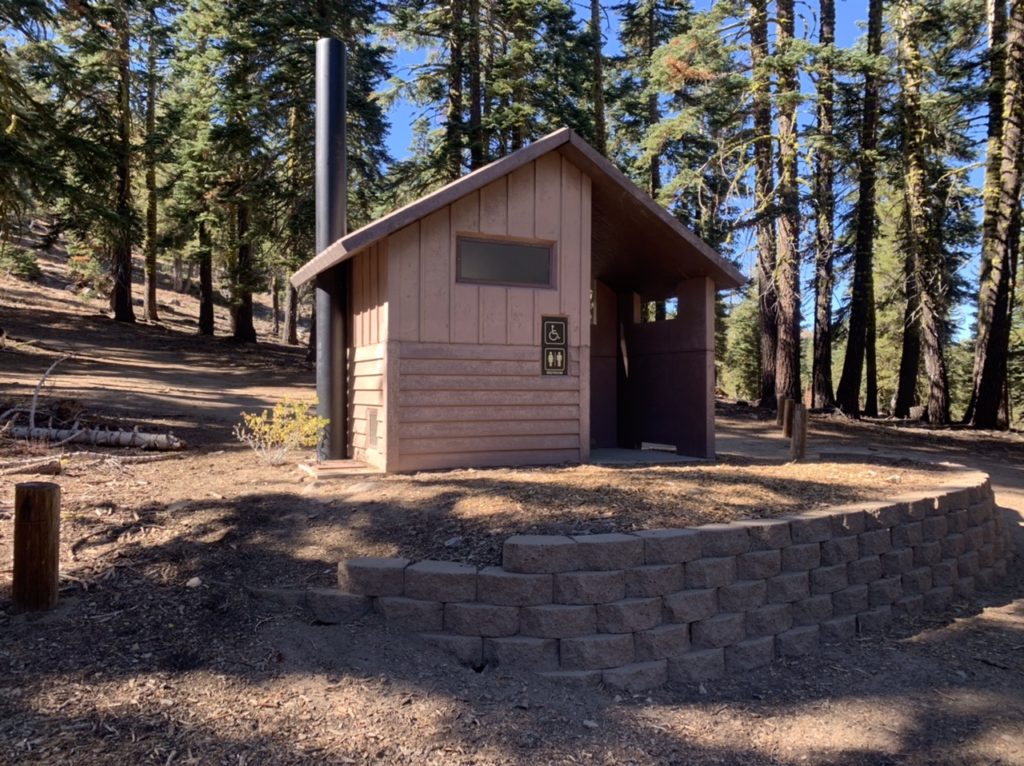
We were too hasty with our morning prep work. We’ll chalk it up to mental fatigue from lack of sleep. Even though we were in the tent for 14 hours, our sleep was less than stellar. I was chilled almost all night. My straps on my quilt were too lose, so every time I flipped over, I got cold chills down my back. True to its word, my quilt didn’t let me die. It just kept me alive and miserable. All this led to my haze about not considering we were at Mt Rose Pass. Mt Rose is a direct link between Incline Village and Reno. It’s a very heavily travelled route which means…bathrooms and trash cans. Moses could have been admitted to the promised land if he’d only waited a little longer. 

Only 6 miles to the top and I’m still happy—I haven’t seen the trail, yet
Always room for a bit more history

Today was supposed to be a short day primarily because of water availability. But it was also a highlight day because we are to climb to the highest point on the TRT…just a little over 10,200’. The campground was at 8800’ which explained why I was dragging right from the start. I didn’t realize we were in my 9,000’ slow down zone. At least I’m not having headaches anymore. 

Getting water ready to go after the fact
Grays Lake…the reward for the day

There were a few day hikers out at the pass. This is a popular starting spot to walk through Tahoe Meadows (which we did yesterday), go see Galena Falls (which we are going to today), and to climb Mt Rose (which is too far off the trail to get Bunny to agree to back to back side trips). Once we made it past Galena Falls, which is only about 2 1/2 miles from the pass, we had the trail to ourselves. 

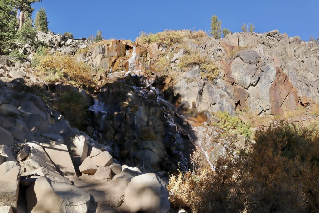
Galena Falls, kind of shady because we were a bit early
Making progress

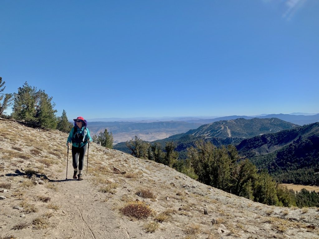
It’s not a well kept secret that I’m afraid of heights. After the falls, we started climbing diagonally up the side of a ridge taking us up to 10,000’. It was sunny and warm, but I didn’t notice that. I only noticed the loose rock on the trail and the thousand foot plunge to certain death. I was freaking out. The closer you get to 10,000’, the more noticeable the lack of oxygen in the air becomes to an old body. I was stopping a lot to catch my breath and look around. Bad idea. 

When the drops weren’t as steep, I could take pictures
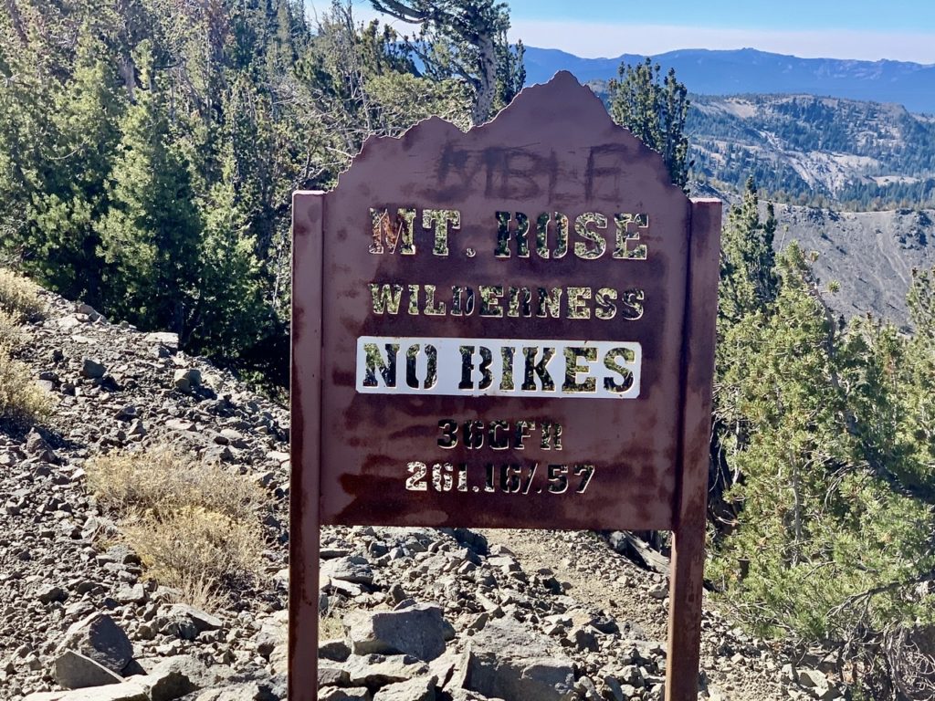
I find it hard to believe they need to put up a sign like this

I started noticing where our trail was headed and how narrow of a ridge it ran along. When I saw that, I started getting dizzy and having an irregular heartbeat (in my mind). If I start freaking out, Bunny usually follows. Once I said I was getting dizzy, she noticed she was as well. I wanted to lead because I didn’t want to see Bunny so close to the edge of a big drop. I noticed that when the trail passed over a gradual slope with trees beside it, my dizziness and irregular heartbeat disappeared. I figured out that my dizziness and heartbeat were panic induced. Bunny started talking to me about other things to take my mind off of the climb. 

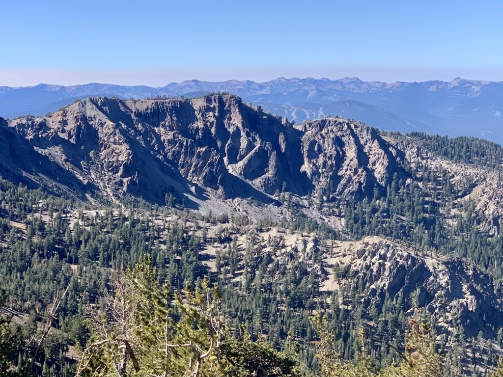
The mountains were pretty
The higher we went, the more interesting they got

This helped calm me to a point, but I didn’t want her too close behind me, especially on steep drop sections. I asked her to please stay at least 10-15’ behind me. She has a tendency to stick the feet of the person in front of her when she talks. (Bear, Sassy, Charcoal, and/or Struggles, please confirm this). With me already being weak kneed, it wouldn’t take much to throw me overboard. 

Peeking around the corner at Lake Tahoe
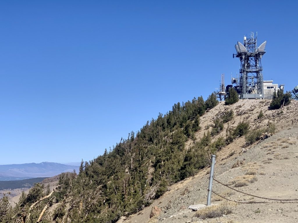
The microwave relay on top gives Relay Peak its name

We made it to the top of Relay Peak just around noon. It only took us a little over 3 hours to cover the 6 miles, so we weren’t going as slow as I thought. The views from up here were breathtaking (or was that the altitude?). We could see Truckee and Donner Lake to the west. We could see Reno to the east. We could see several reservoirs to the north. We could see mountains stretching out to the southeast in Nevada. We could see several high peaks in the Sierra to the south that were shrouded in clouds. But the most amazing thing was seeing Lake Tahoe in its entirety. It was worth the effort to get here. 

Truckee and Donner Pass to the west
Reno to the east
Reservoirs to the north
Mountains stretching out to the southeast
High peaks of the Sierra to the south
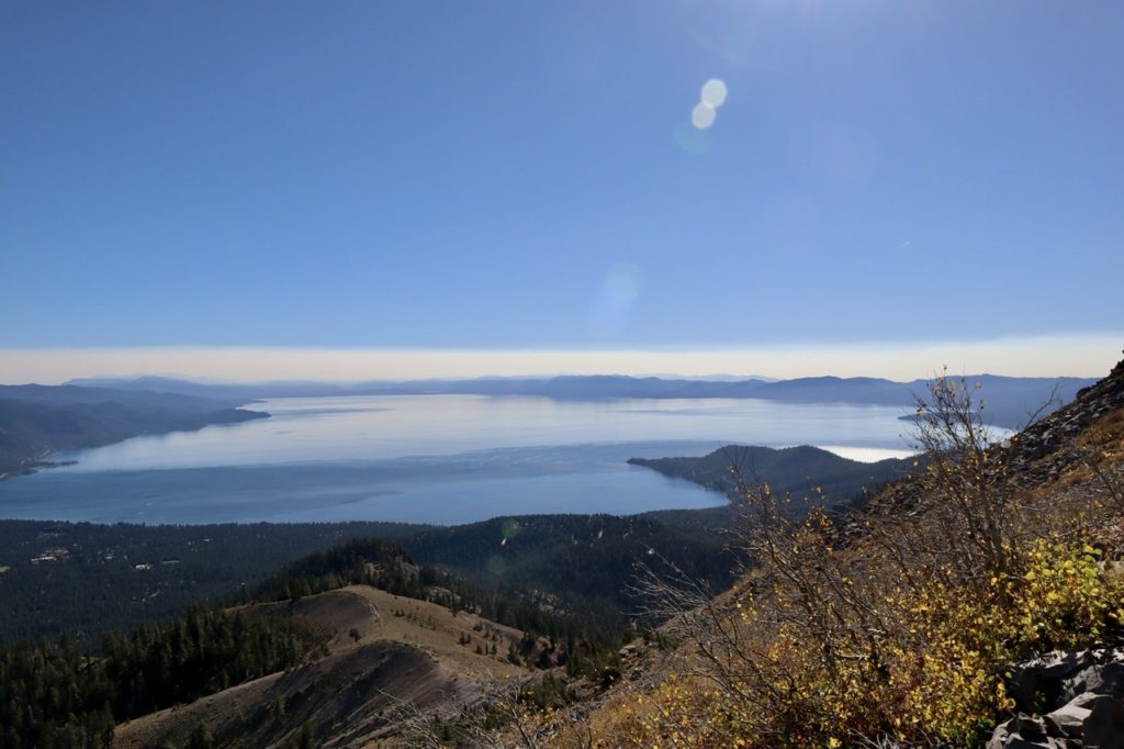
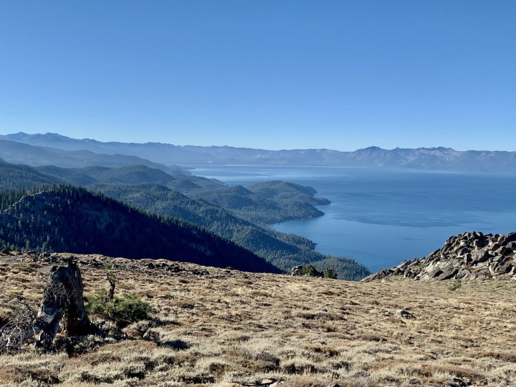
But, THIS, was reason for the climb. The entire lake in one shot

Bunny wanted to get down a few hundred feet before we stopped for lunch. She was hoping for a shady, level spot to eat at. It only took us another hour of downhill walking to find the spot. While we were eating lunch, we started studying the map in a bit more detail. The spot we were planning on camping tonight is about a mile off trail and 800’ down. Tomorrow is already scheduled to be a 17+ mile day and having that big of a climb right at the start might just zap us. We started looking for alternatives. 

The north shore of the lake and ridge we are to descend
The eastern shore and the mountains we have already traversed

There is a “reliable” water source just before the first turn off the TRT. If we can fill up with water there, we could carry enough to walk an extra couple of miles today and shortening up tomorrow’s miles. This was our new plan. New plans made on the fly have a tendency to have holes in them. This plan only had one hole. The “reliable” water source was bone dry. This is the true definition of irony…we can see over 40 trillion gallons of water, but are incapable of getting a few liters. We tried coming up with alternate plans such as: Bunny will stay on the ridge while I climb down to Gray Lake to get water. We weren’t certain that there was even water down below which caused more uncertainty. If I had to climb down a mile, filter water, and climb back up, we’re talking well over an hour. I didn’t like the sound of separating for that long.

I need longer arms to get the whole lake in a picture with us
I was just relieved to be at the top

Ultimately, we stuck to our original plan and hiked down to Gray Lake. We found a beautiful spot at the top of a water fall which is the outlet of the lake as it makes its way down to the Truckee River. We set up camp, filtered water, cleaned up, cooked, ate, and got ready for bed well before the bewitching hour of 6. Bunny even double drugged me to sleep tonight which is why this is such a bland rendition of the day’s events. I hope to sleep tonight (and wake in the morning).

EFG

Day 20, Thursday, October 15. Mount Rose Campground, TM 130.8–(14.2 miles)

My quilt is nice. It’s keeping me warm even down around freezing (which we’re approaching every night). It should. It’s rated to 20 deg F, but that’s a survival rating, meaning I won’t freeze to death or die…but comfort? If we were going to be out much longer, I would want my 20 deg F Western Mountaineering Bag. My biggest complaint with the quilt is cold spots when I flip over. Bunny has her 20 deg F Sierra Designs bag which Digit Alice sent us almost a month ago. In addition, she has a sleeping bag liner, good for another 10 deg temperature difference. If all that fails, she has plenty of gas to light. 

The picnic table only slows us down

Our definition of luxury has changed. We got picnic tables and a pit latrine and we’re in heaven. It probably slowed down our getting ready. I took all my gear out to the table rather than packing in the tent. Then, having an actual seat to relax on vs. squatting over a hole adds more time. At least it adds more time for me to ponder the days activities and life’s mysteries. Bunny is a machine. In and out, the same amount of time, whether digging a hole, using a toilet, or tagging a cop car in a Wal-mart parking lot. 

Marlette Lake above Lake Tahoe
This was Twin Lakes, a tad on the dry side right now

It was brisk as we headed out, but the first half mile was in full sun. We quickly dropped our packs and took off our coats in time to walk into the shaded, western side of the ridge. We had spectacular views of Lake Tahoe all day. This was the “Money Shot” day. 

It’s difficult to get all of Lake Tahoe in a single shot

There was a side trail called Sand Harbor Overlook Loop which was an extra 0.6 miles which we don’t get credit for. (Only official trail miles count in my world…gross vs net). We had the same discussion we have on every side trail we come to: Is it worth it? Will a couple of hundred feet really make that big of a difference in the view? Who said it was spectacular? Have you been up there before? How do you know? This was the line of questioning we had on our first hike together in Scotland about Conic Hill and we’ve had this same discussion on every major hike since when/if I want to do an extra little hike. I choose my moments carefully.

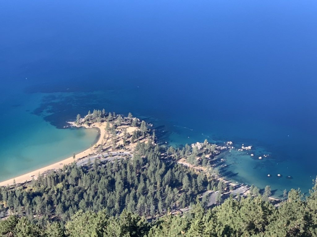
Sand Harbor over 2500’ below us
The shore of Incline Village

Yes, it was worth it and Bunny did concur (as she has every time I’ve pushed for the extra). We had a clear shot of the entire lake from end to end and side to side. You could see all the mountains on the east side of the basin and spot a few additional lakes that look like they might be connected to Tahoe, but are actually 1000’ higher. 

The Eastern shore
The Northern shore

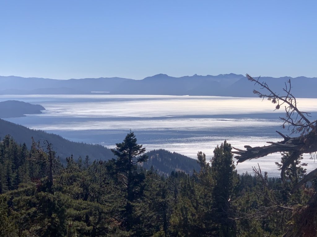
The rest of the day, if we came to another vista, we either just skipped it entirely or I went by myself to take a picture. There was only one side trip after Sand Harbor that was worth the effort and that was because of the sun reflecting off the lake’s surface. When I came down fro that one, Bunny was quite upset. 

The sun reflecting off the lake before noon…the single line above center is another lake by South Lake Tahoe

We had just taken our lunch break. Bunny had eaten her tuna, corn chips, veggies, and fruit snack, but she had neglected to eat anything her ass likes. When I went up to the vista, Bunny sat on a rock under a sap-dripping pine tree. Now, her ass likes pine sap. It was sucking up as much sap as quickly as possible knowing that Bunny wasn’t going to stay there for very long. Her ass sucked the sap so hard off the rock, that it partially inhaled her underwear and pants. When I came back down, Bunny stood up, realized her ass had partially eaten her underwear, and reached back to reclaim it. This is when she got sap all over her hand and became upset with her ass. I walked on. I try not to get involved in 3rd party arguments. 

Bunny is not happy with all the sap part of her sucked in

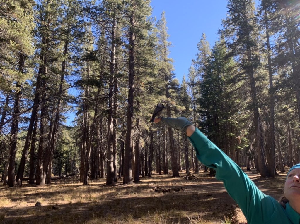
We did stop for another snack as we were nearing Tahoe Meadows. Digit had sent us some peanuts which we found a nice change of pace for us. A bird flew over head as we were snacking. Bunny put one in her hand and held it over her head. To our surprise, the bird swooped down, landed on her hand, grabbed the peanut, and flew away. This was a first for both of us. Bunny decided to try again and this time I had the camera ready. The bird ended up splitting the package of peanuts with Bunny as he kept coming back again and again.

Bunny sharing her peanuts with a bird

This was really a day of bird interactions for Bunny. This morning as we were packing up, Bunny saw a bird of prey, possibly a falcon, catch a mouse beside our camp. Then there was the peanut snatching bird. As we were eating supper, a red tail Hawk swooped down over our heads. Lastly, as we were going to sleep, an owl started hooting beside our tent. 

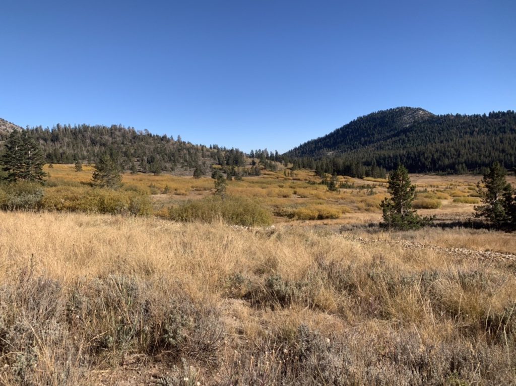
Tahoe Meadows

Last night, we shared the campground with one other couple. Tonight, we got a campground all to ourselves. The reason being, this camp is closed for the season. The water is shut off. There are no trash cans. I know how Moses felt after wandering the desert for 40 years and to not be allowed into the promised land. The pit latrines are locked. 

Tahoe Meadows from our campsite
Moses has been forsaken

EFG

Day 19, Wednesday, October 14. Marlette Peak Campground, TM 116.6—(8.8 miles)

We knew when we set up our tent last night that we were going to encounter the “least liked” word in the English language this morning when we awoke—moist. Sadly, it went way beyond moist to soaked. I sat up to head out to pee at 5:30 and soaked my head and shoulders. It woke me up so thoroughly that I just stayed awake to prepare breakfast. 

Bunny turns into her favorite color every night

How did we handle our food knowing that a mama black bear and 2 cubs were in the area? We didn’t change a thing. I slept with one food bag under my head, the other 2 bags between our heads, with the bear vault and trash at Bunny’s feet. I’m firmly convinced black bears pose no problem to people (unless it’s the habituated town bears looking for a fix…crack whores are always a danger). As long as we are out in the woods, I’m not worried. It’s when we come to established camps where bears and people usually intermingle that I become concerned. 

Climbing to new heights

How about grizzlies/brown bears? I’ll say this. I’ve only come face to face with one in my life. It was less than 10’ away staring in my eyes. I had two fences between us, one of which was electrified, and I nearly soiled myself. There is no doubt grizzlies are the top of the food chain. When we do venture into grizzly country, I’m sure I’ll sleep as poorly as Bunny does. 

Nevada behind us

Civilization is noisy. We were less than a mile from the main thoroughfare into Lake Tahoe Basin and the traffic sounds kept us up until the drugs kicked in. But more than traffic has an effect on us at this point. Two years ago when we finished the AT, Bunny was near panic attack level if we went to a movie because of the sensory overload. Last year was my turn, I couldn’t stand being around TVs or listening to the sounds of a city at night. I was becoming sleep deprived. 

Great views of the lake all day

Because it was so cold and moist this morning, we were able to break camp faster than Bunny breaks wind (she stops in the middle of the trail to do so—a 100% guaranteed tell). We both skipped the hole digging routine. Bunny for about a mile. Me for all day knowing that we only had 8 miles to go to a pit latrine. My Boy Scout summer camp bowel holding experience is finally paying off in spades. I’m glad those ex-lax days are behind me. 

Notice all the clouds

We made it to camp by 2. We were completely set up, including water before 3. We splurged and had “high tea” with chocolate chunk cookies to kill some time before I made supper. The magnificence that is trail supper (asparagus, chicken and dumplings, olives, and peanut M&Ms) was completed by 5:15. We even took our pills and brushed our teeth trying to kill a little more daylight. We were ready for the tent at 5:17. Bunny said she was going to read and I said I was going to finish the blog entry for today. 

From the 6th largest lake to desert

Here’s Bunny’s proposed entry for the day: “We were cold last night. We got up early and trudged along all day. My pack felt heavier than yesterday. We didn’t see hardly anyone on the trail today. We made it to camp by 2, set up and went to bed.” THIS is why I write the blog. An addendum, “it was all sunshine, rainbows, and bunny rabbits guiding us all day.” My adder to her entry, she just forgot. 

Marlette Lake may look like it is connected to Tahoe, but it’s 1000’ higher

Even though her entry was, technically, correct, there’s no pizzazz. She doesn’t mention how bad my feet have been hurting yesterday and today. I can’t decide if my inserts are past their life span. Bunny was convinced hers were, so we bought her a new pair on our last zero. Now, Bunny has found the “perfect combination of shoes and inserts. My feet are the best they’ve been.” It’s hard to believe that when this is the 3rd time this year she’s said that. 

Still smiles

Another possibility for MY feet hurting is the weight I’m carrying. We are carrying 7 days worth of food (we usually carry one day more than we need, just in case…). Plus, we’re in long dry stretches of trail which is dictating our mileages and forcing us to carry full water. We had the choice of just under 9 today or almost 24 because of water sources. Of course we aren’t going to do a 24 at this point. At least, not without Sassy, because she would want credit for the extra 0.6 miles back to the trail we did this morning. I miss the whole “net vs gross” arguments we used to have. 

The payoff to a day of clinched cheeks

I’m sure my feet are hurting because of the combination of both factors. My insoles are worn out. I bought them in Ashland, OR which was about 450 trail miles ago. I’m too cheap to buy new ones with only 70 miles to go. My feet have a history of hurting when we leave town with too heavy of a load. Sadly, the definition of what’s “too heavy” is reducing with age. 

3p and ready for bed

We are coming to the end of this year’s hiking season (for us). We will “just” get a thousand miles in. The worst output for us since we got married. Even so, we can’t consider this year a failure when we’ve had such a good time. We’ve met lots of great people and hiked with some great friends. With only four more hiking days to go, I’m probably going to start some reminiscing in the next few entries. For today, it’s getting pretty late. It’s already past 6 and Bunny drugged me 45 minutes ago. This day is done. 

EFG 

Day 18, Tuesday, October 13. Spooner Lake, TM 107.8–(14.7 miles)

We set an emergency alarm for 8a, but BUNNY was awake before 7. I made it until 7:20 but when I’m in town, I’m a news addict. That’s a big reason I like to travel out of the country…the further away I am, the less I care. At least hiking removes me from internet access. 

It’s the start of another beautiful day

Breakfast in the Midwest is usually the most economical meal to eat out. You get huge portions and the price is relatively cheap. Not so in Tahoe. They have managed to make breakfast more expensive than lunch. We spent $40 for 2 cups of coffee, biscuits and gravy for me, bacon and eggs for Bunny. I asked to just get biscuits and gravy without eggs, but they didn’t discount my meal any. I made them give Bunny my eggs since I was still paying for them. Bunny had read that the cost of living in Tahoe is 10x the national average (I’m sure real estate prices are a large portion of that, but breakfast is taking its bite).

Wasted space…a golf course on the shore of Lake Tahoe

After our visitation rites were complete with the porcelain, we called for an Uber to take us back to the trail. It was less than 5 miles to the trailhead from the hostel. Normally, I’d say let’s just hike it knowing that Sassy would interject a “hell no,” but she’s not here. I didn’t want to risk Bunny saying yes if she’s feeling good. We were hiking before 10. 

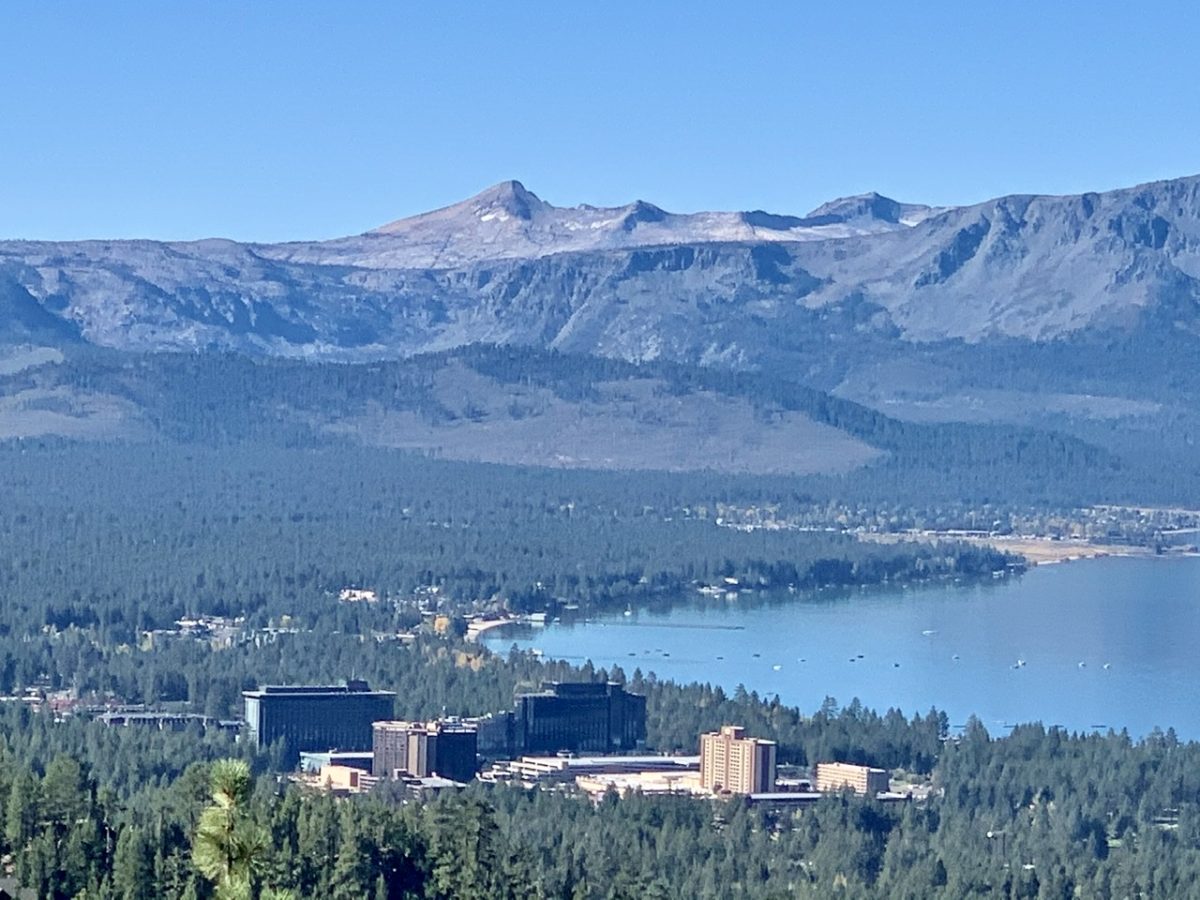
South Lake Tahoe

There were surprisingly few people on the trail today. What a waste because it was a perfect day to be out. Clear blue skies, no wind, mid 50s, and a great trail bed. Even though our first 9 miles were all uphill, the grade wasn’t bad so it almost felt level. We started getting great views of Lake Tahoe within the first 2 miles of hiking. 

Right off the trail!

This is our 18th day on the TRT. The first 4 were just getting to the start of the trail and we’ve taken 4 zeros. We’ve spent 10 days just hiking down the west side of the lake and around the valley on the south end of the lake. Today, we hiked half way up the east side of the lake in just a single day. We saw more of the lake today than we did in the other 17 days out here. From the high point today, we could see Tahoe City across the lake. The end is within sight. 

Tahoe City across the way
Only 73 miles to go

Something strange did happen to us today. When we were at the high point surveying the lake, a helicopter flew up from below right above our heads. It then circled us 3 times coming back to just above us. It was a fire helicopter and we thought it might be searching for fires since the wind had picked up a bit near the top of the basin, but it just kept screwing with us. Finally, we decided to head down off the ridge into the trees. When we did this, it finally quit circling and took off south. We kept looking for smoke around us but decided they were just screwing with us. It did make us question whether the trail is open or not. 

CA fire messing with us

As we got closer to Rt 50, the main route in from Carson City, we did start seeing more people out. Then we turned onto the Spooner Lake Loop and met a couple that stopped us and told us there were bears just ahead of us. Finally, a shot at some wildlife. We found access to the lake where we could get water. Bunny agreed to filter water if I would fill the water bags and go find us a spot to camp. 

Only you can poo

I headed in the direction of the bears. I found one spot about 50 yards from where we were getting water, but I wanted to be sure there wasn’t a better spot just around the turn. I kept going for about 1/2 mile without seeing anything even comparable to the spot by Bunny. I kept going until I ran into the bears. 

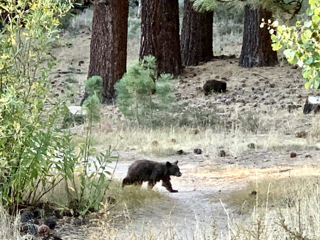
Baby on the trail with mama sniffing pine cones

Right in front of me on the trail was a little cub. It couldn’t have weighed 20 #. Another one was just to the right off the trail. I could see mama about 50 yards further. All three were just rolling pine cones around trying to get seeds out of them. I tried yelling to get mama’s attention, but she didn’t care. The cubs weren’t scared at all. I kept yelling and they all just ignored me. I took a few pictures before heading back to Bunny. 

The other cub

We grabbed the spot near where we had gotten water. We’re not sure if camping is allowed near Spooner Lake, but there weren’t any signs saying it wasn’t. Don’t ask, don’t tell. We set up the tent before Bunny insisted we go looking for the bears. We walked back to where they had been just 30 minutes ago, but they were nowhere to be seen. 

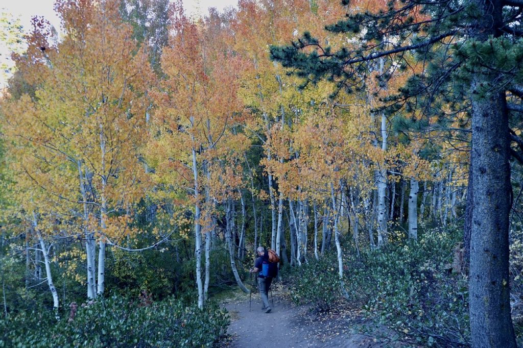
A campsite in the aspens

The Forest Service is cleaning up the fuel on the forest floor in the area. There are several piles of wood all around. I’m sure they have managed to find space in one of the piles big enough for all 3 to squeeze in. I’m sure I weigh more than the 3 of them combined. Mama barely looked to be 100 #. 

More geological history

By the time we got back to our tent, it was almost dark. Bunny took care of the beds while I prepared supper outside. We’re trying to keep our headlamps off as much as possible to not draw attention to the fact that we are here. We have passed several notice boards today and there weren’t any restrictions posted on any of them, so I’m assuming we’re fully legal. Bunny promised to come visit me in prison if we aren’t. She swore she wouldn’t hesitate to throw me under the bus if a ranger stops us. Isn’t marriage grand?

NFS cleaning up the forest floor
And he walked to the bears…

EFG

Day 17, Monday, October 12. Mellow Mountain Hostel—(Zero Day)

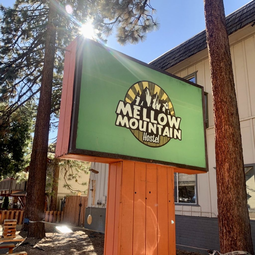
We thought the Red Lodge, 4 miles down the road but 40 trail miles ago, was a great deal. And, it was. But this is an incredible deal. $50/night, 3 blocks from the lake, 1 block from the Heavenly Gondola. Granted, we don’t have a 60” TV in our room, but we have screaming internet. There is laundry onsite as well as a computer room and a nice common area with fully stocked kitchen. I think people live here because it’s so cheap.

The best deal in the basin!
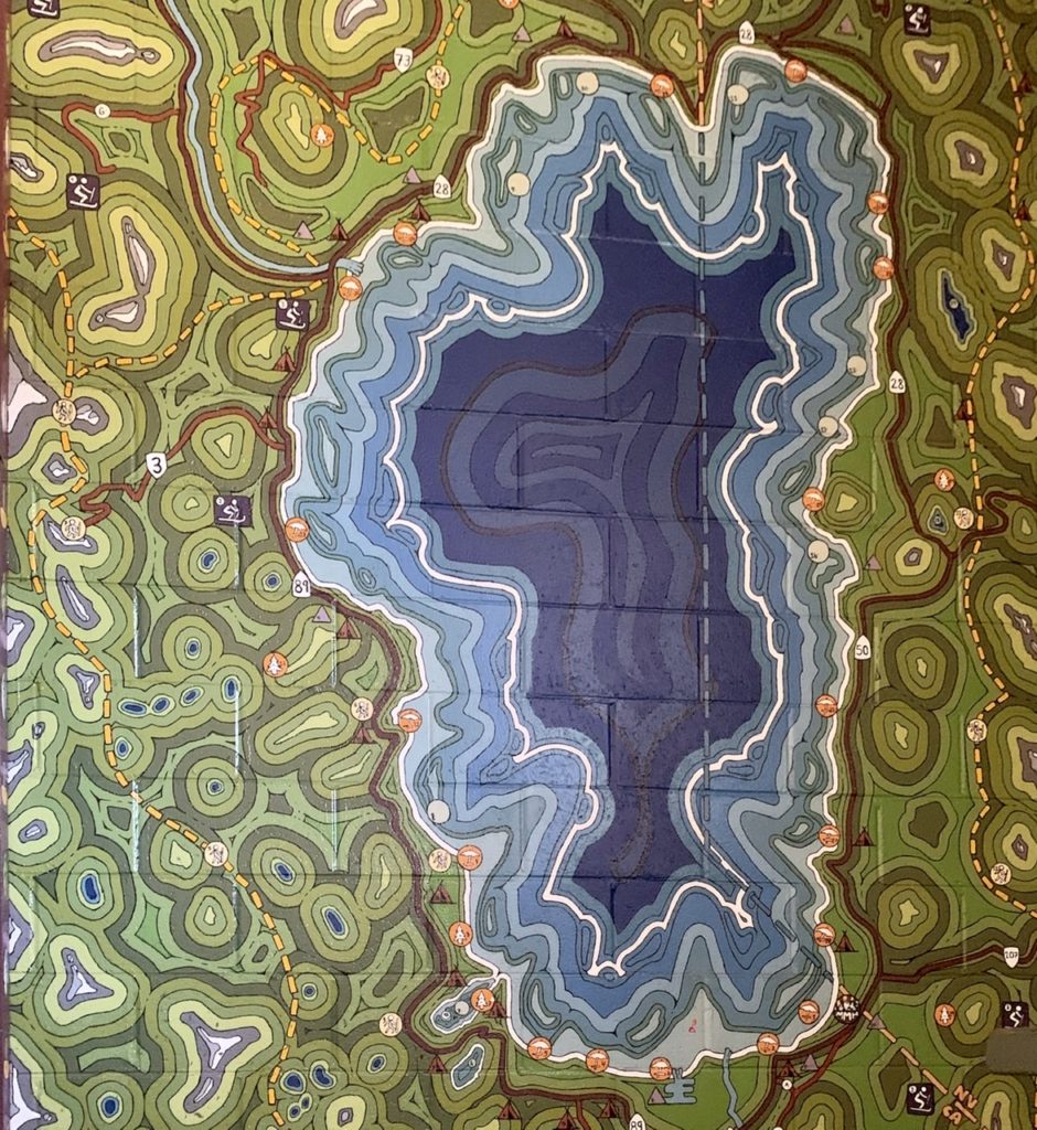
A mural in the stairs showing Lake Tahoe, the surrounding mountains, and trails

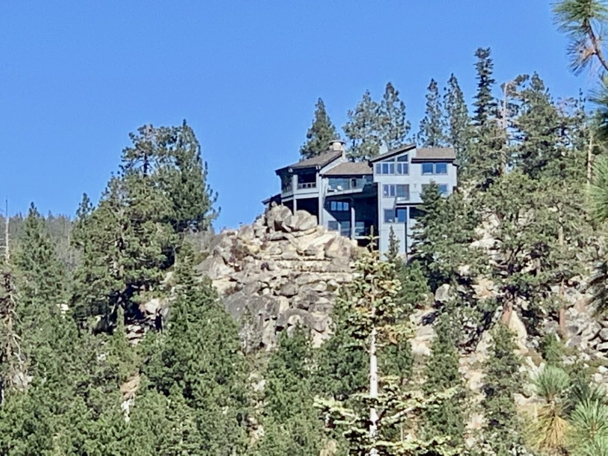
As far as affordable housing goes, I don’t believe real estate agents. They just don’t want to sell less expensive houses. There is affordable housing around. We don’t want a McMansion (although I wouldn’t turn one down if someone wanted to surprise us…Christmas is just over 2 months away). I took a walk through some of the neighborhoods around here, and these are not million dollar homes. I do believe we could find something here if that’s where we decide we want to die. I’m just not ready to pull the trigger yet, figuratively or literally. 

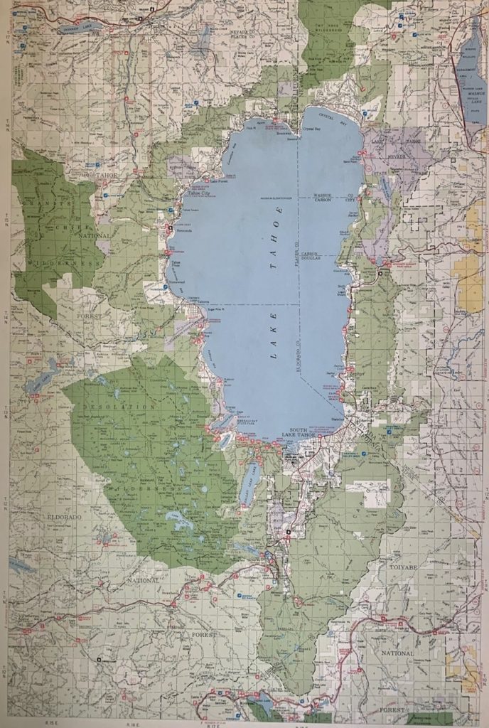
An actual map to put things in perspective
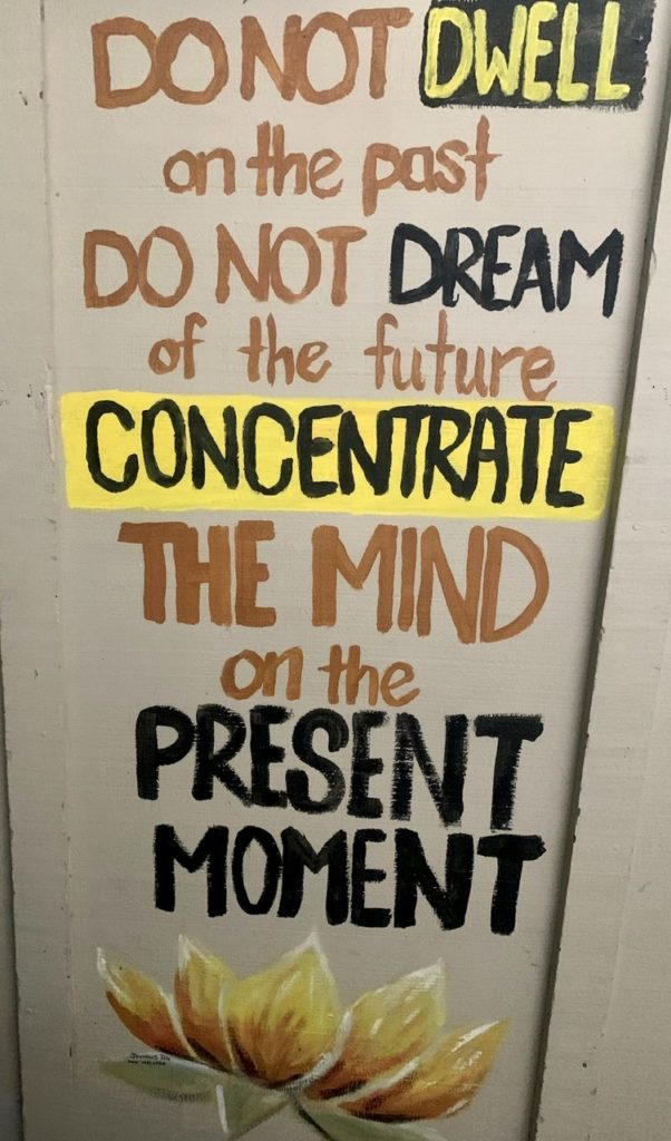
Wordsto live by…I try but fail (most of the time) to follow these ideals

Digit Alice had a perfectly sized resupply box waiting for us when we arrived. Since we modified our plans (yet, again) this will be our last hotel stop on the TRT. We will hike for 6 consecutive days to finish up next Sunday in Tahoe City. We have just enough extra food from our last leg for everything to work out perfectly. We just have to modify an old saying…”The trail, and Digit Alice, provides.”

Just a few blocks from our hostel
The mountains surround the lake

Bunny doesn’t like to walk when she’s not hiking. She will eventually evolve into an amoeba that used to have really developed appendages. She did agree to make the trek down to the 7-Eleven if I would agree to invest in our retirement plan. Alas, she spotted candy and forgot all about financial planning for the future. We walked out of the store with $20 of chocolate and no lottery tickets. No retirement any time soon for us. 

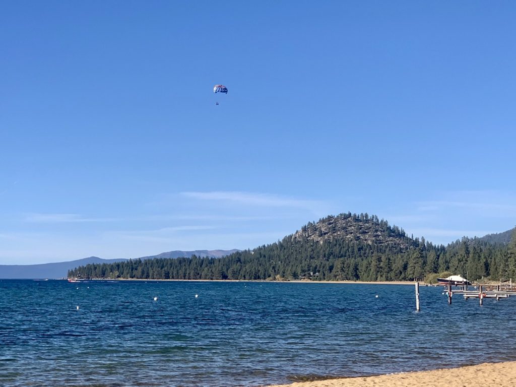
Para gliders
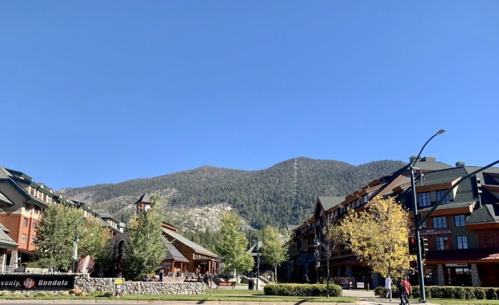
Heavenly Village out our front door. Notice the gondola path up the mountain

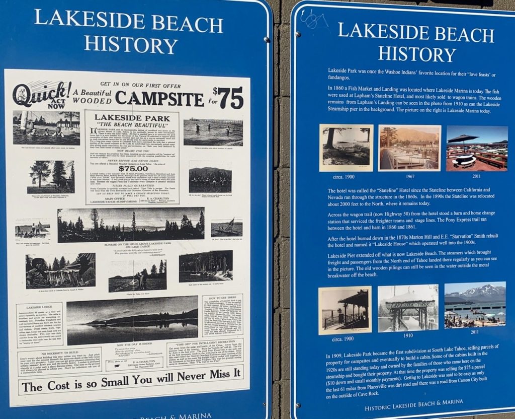
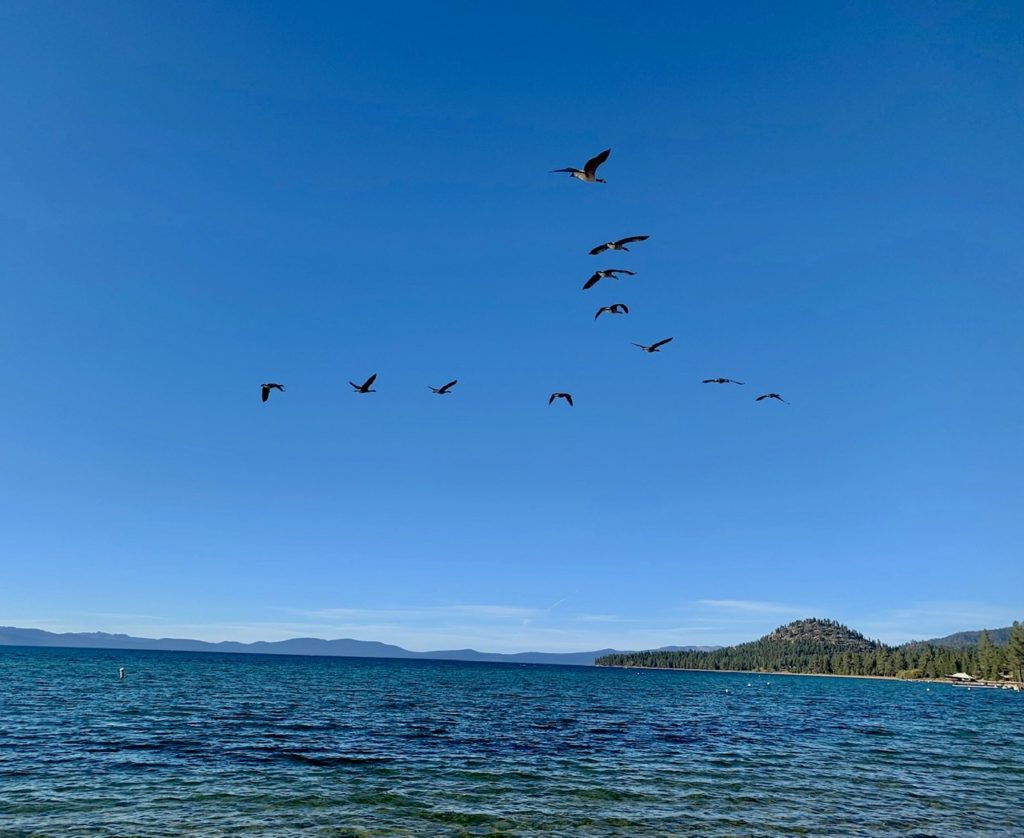
After our failed attempt at retirement planning, I decided to go for a walk down to the lake while Bunny started consuming some of her chocolates. I walked all the way to Nevada (one block) then followed State Line Road down to the beach. I could have (and actually wanted to) spit on the casinos across the street. Instead, I ventured down to the shore of Lake Tahoe to watch paragliders and geese enjoying the airspace above the lake. There were a few homes in the area I could make do with (in a pinch).  

it’s 2 blocks off the lake, so how expensive could it be?
The geese are warming up

I did manage to get Bunny to go for a beer down the road at an establishment called Basecamp. This is an ideal business for me and two friends: Dave Watts and Cain Budds. These are two friends I’ve met in different lifetimes that haven’t met each other. It is our destiny to work together. Basecamp was a microbrewery, restaurant, hotel, live music venue. Dave will handle the brewing operation (with Cain’s assistance) and Cain will be the primary live music (Cain is a guitar professor in Louisiana and outstanding musician). I know of a couple hotels for sale on the West Coast. I will be the day to day operations manager. My primary responsibility will be to skim off the top. This will have to be post careers for all of us for this to work. Now all we need is a financial backer willing to not see a return on investment in this lifetime and we’ll be golden (Pony Boy).

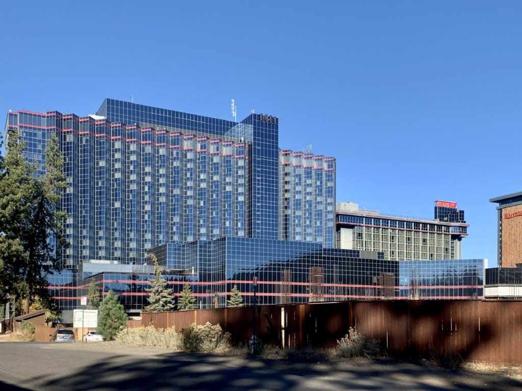
One street over the buildings where poor, stupid people are taxed

Alas, these plans will have to wait another year or two. We’ve got to finish the TRT, PCT, CDT, and TA before we can consider settling down. I’ve also got to reconfigure the business plan to include Bear. He would have to be our front man, maitre d, because no one can handle confrontation and diffuse situations like he can. He did manage to keep me calm through over 1000 miles of hiking together. He just let his guard down one time when I spun out of control. 

Our business model
Beer, music, food, fires, and beds…everything you need in one place

Tomorrow, we hike. The TRT is about to be crossed off the list. 

Center Stage by a fire pit. The music was good, but Cain will blow them away at our place

EFG

Day 16, Sunday, October 11. TM 93.1—(11.5 miles)

Even though we got what felt like an arctic blast last night, we didn’t get any of the associated frozen white dust. Bunny claimed not to sleep any because of all the winds. I don’t know what she’s worried about—dead trees are called “widow makers.” On second thought I do know…my refusal to carry life insurance has finally awakened her maternal instincts concerning my well being. 

The overflow of Star Lake in the early morning sun
That’s what we came over yesterday

The winds did eventually die down around 4. There was not a reciprocal effect with Bunny’s snoring. How do I know it was 4? At 2 I was fully awake and couldn’t figure out why I couldn’t fall back asleep (while Bunny was snoring). I did the math. Stay with me, it’s kind of sciency. We got in the tent at 3:30. We made supper and ate in the tent. I went to sleep before 6. From 6p to 2a is 8 hours. I’d already slept 8 hours and had 4 more before I could safely start making coffee without getting stabbed in the throat by my partner. 

Into Nevada, but it’s nicer at altitude
A look at the Carson City valley

When her Bunniness did awake and step outside the tent for her bladder cleansing routine, she looked around and saw two other tents set up around us. Hallelujah! either we’re legal or we’re not going down alone. We could hear people frolicking and swearing over their stoves. Even so, I’m still going to practice the Clinton Era Doctrine of “don’t ask, don’t tell” when we run across people in the backcountry (unless it’s anti-establishment millennials or people with full backpacks).

Now that’s a BFT
I suppose this area, south of Reno, isn’t that bad

Get this, we were the first ones out of camp. It was only 8:30. Bunny has a family zoom call this afternoon so she was motivated to move. The other campers looked like holiday weekenders set for a two night stay. It was brisk walking which helped keep our pace up. We’re close enough to civilization that we could hear traffic sounds from the highway below us and we ran into tide fresh day hikers wearing (baby powder antiperspirant—her; axe cologne—him). Axe! Do I need to repeat myself? 

A ski lift from Nevada to the top of the basin

It was today that I made a realization about my wife’s tracking ability. Every print she sees on the trail gets divided into one of two categories: bear or cougar. I suppose it makes sense that she is weary…bunnies are an easy food source and staple of carnivorous diets. She does occasionally throw in an elk ID when she sees deer prints. This realization came to me when we saw some domestic Pomeranian tracks in the dust. Bunny immediately said “Mountain Lion.” I said: a) too small, b) there are nail indentations (cougar pull in their claws when walking), c) we could see a day hiker walking her Pomeranian ahead of us. Bunny ignored that and switched to bear. I pointed. She insisted, a cub, and momma’s nearby. I won’t even bother going into the Altra IDs which have a human bare foot print embedded—“Big Foot!”

It was a relief to see Tahoe again

Today’s hike led us across the Nevada state line. In none of the videos we watched about the TRT does anyone mention that we actually end up hiking outside of the Tahoe basin for several miles. I was concerned because I didn’t want to descend into the desert plain below. Bunny has her animal issues, I have my map issues. I was not calm until we crossed the ridge back into the basin and into a ski resort area. They may have been Nevadians running the trails in spandex, but they gave me a secure feeling that we were near the overpriced Tahoe area once again.

A few mountain shacks in the ski area

A few minutes before 2, we found a spot in some rocks overlooking Lake Tahoe and South Lake Tahoe below. We had good enough cell signal for Bunny to have her call. It was a bit scarey that our brother-in-law is a nurse anesthetist at a major hospital in Kansas City that currently has the most Covid cases in the state (with my niece in Branson working at the hospital with, probably, the 2nd most cases) and yet morons still run around without face masks because their cult leader says not to worry. There were 3 deaths at his hospital this past week and one of the surgeons he works with tested positive. It’s too close to home. 

My Bunny is definitely color coordinated

It was only a mile to the closest road after the call. Bunny wanted to call an Uber, but I convinced her to stick out her thumb while I rearranged my pack. She didn’t want to so she barely lifted her arm above her waist. The 3rd car pulled over. I hadn’t even put my coat away yet. 

The TRT crosses several ski runs

It was a real estate agent who couldn’t understand us when we said “hostel.” She thought we were saying hospital and said she’d take us all the way there and drop us off. We finally convinced her it was a hiker HOSTEL but she had already committed to taking us out of her way. It was less than 5 miles from where she picked us up. Of course, we asked about real estate and if there was anything reasonably priced in the area. We got the standard “it’s too expensive for anyone” meaning she’s not interested in selling anything less than a million dollar home. We thanked her for the ride (and lie). 

Our vantage point for the family call

When we checked in, we couldn’t believe the price. This is the least expensive place we have stayed in 3 years here on the shore of Lake Tahoe. We decided right away we are taking a zero here tomorrow. What’s the rush?

EFG

Day 15, Saturday, October 10. Star Lake, TM 81.6—(12.2 miles)

Bunny will swear I never say this, but, I was wrong. There was no deer waiting for us to eat. We were not attacked because of a messy camp. What did happen was this: one bar had a bite out of it. That bite was spit on the ground and covered in saliva. Every other bar was covered in bear scat. Either he’d (for the sake of not being overtly sexist, I am assuming only a male bear would be so crass as to poop prodigiously so close to stranger’s eyes) been saving up for a while, or the bar didn’t agree with his stomach. I know, the morning after I had two bars in one day, I raced to dig a large hole that I completely filled.

The clouds couldn’t decide if they were friendly or threatening
But they did stay on the move all day

It was still pretty cold when we started hiking at 9. I opted to hike with my raincoat on to cut the wind down. We didn’t see anyone all morning while we were hiking up Mr Toad’s Wild Ride. This is a mountain bike trail that loops with the TRT on one side. As long as you’re going downhill, it looks kind of fun. I’d sure hate to cycle uphill with all the rocks.

What is wrong with this picture of our lunch stop?
We came over a rise and I couldn’t tell what this view was…I thought it was desert

Mr Toad starts his wild ride around 9000’. From here, it’s possible to catch a glimpse of the Southern portion of Lake Tahoe. One thing none of the videos prepared us for was the diverse hiking on the TRT. Everyone just shows their impressive views of Lake Tahoe, but few really bother showing any of the numerous alpine lakes or mountains that make up the Tahoe Basin. It is an incredible variety. Lest not forget, we are on the northern end of the High Sierra. Incredible views are a dime a dozen. 

Star Lake where we spent the night
We were hoping the winds would die down when the sun went down…we were mistaken

Age is rearing it’s ugly head. I did pretty much everything wrong today and paid the price. I didn’t pay attention to where we are going, or how high we were going. We hiked up to a bit over 9700’ above sea level. I could feel the difference in my breathing every time we approached the 9000’ mark. Bunny and I have been sporting low grade headaches the last couple of days. Instead of drinking more, we’ve been drinking less because of the cold. I even felt a bit dizzy around 9500’. I was not expecting any of these effects from altitude. After all, I’ve hiked to almost 18,000’ in Nepal and didn’t feel much worse then. Age is my answer (and lack of diamox, but I didn’t start taking that until 12,000’). 

The climb up to our high spot of 9722’
Quite windy at the top

Bunny handled the whole day better than I did. I could never get warm. I hiked with my rain jacket, gloves, and my buff folded over my ears. Bunny was sporting shorts. She claims she’s tough. I think it’s women typically carry 9% more body fat. Other than her light headache, she wasn’t having any of the other problems I was.

We were hoping for less wind on our way down
A little glimpse of the southern end of the lake

We earned it today. I’m glad we hiked the extra 2 miles yesterday, because the 12 today took its toll. The winds never let up. A few times we were able to get in a little protection if we found a deep ravine to duck into. As we were approaching Freel Peak trail junction, we started running into a fair number of bikers climbing up and over the pass. The wind was so strong, it was blowing us over. I am impressed with the mountain bikers braving the wind and narrow, rocky trails. 

We can’t pass aspens without a picture
or two

We’re still not entirely certain what the current restrictions are. If the NFS is taking it day by day, they definitely wouldn’t have opened up the backcountry today with the winds being so strong (30 mph sustained with gusts to 50mph). Yet, when we arrived at Star Lake and decided on the least sucky spot, backpackers kept coming in long after we were in our tent trying to get warm. That makes me feel better that we are probably legal. 

Still a lot of desert in the area
The start of Mr Toad’s Wild Ride

When I say we were in our tent trying to get warm, I should point out that we got in our tent about 3:30. We tried to find a spot out of the wind, but couldn’t find any.  We didn’t want to hike to a lower elevation because this is our last source of water for all day tomorrow. Whenever possible, we prefer not to carry extra water. Today was supposed to be the coldest day we will have. If it broke 60 deg F today, I’d be surprised. After today, it should be all smooth sailing. 

I was beaten down by the wind
The closest to a protected spot for the night

EFG
Day 14, Friday, October 9. TM 69.4—(10.1 miles)

We may have to rethink this going slow and taking it easy on the TRT. I woke up (on my own without aid of an alarm) at 6:30 to make biscuits and gravy with coffee. Trail biscuits and gravy are every bit as easy as making them at home…boil 2 cups of water, pour in bag, take a nap. I didn’t even wake Bunny up until a quarter to eight. We were still on the trail before 9. 

The reflection across a perfectly mirrored Showers Lake
Same lake, same mirror effect

My schedule only called for 8 miles today, but we had covered that by 12:30. We decided to extend it another 2 miles but that might put us on the wrong side of the law. I say “might” because we’re not sure what restrictions are in place. We tried checking the Tahoe Basin NFS orders page and found nothing. The original closures were supposed to end yesterday. We ran into a few people hiking in the opposite direction of us who were obviously backpacking. They told us they weren’t certain either. Just lay low and don’t cause trouble. The rangers aren’t actively hunting down campers. Plus, the NFS has stated they are modifying what’s allowed and isn’t on a daily basis now. 

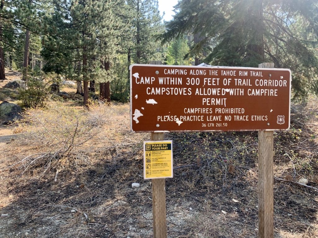
The rules as posted…I see nothing about any restrictions
The Upper Truckee River…Lake Tahoe is just part of the Truckee watershed

We saw about 3 dozen people out in the 4-8 mile range of our hike today. Once we crossed Rt 89, we saw no one. The majority of people seem to be heading south to Big Meadows and Round Lake, both of which we passed and were stunning. 

The valley 20 miles south of Lake Tahoe
We are finally leaving the PCT to hike exclusively on the TRT

Even with the extra 2 miles we hiked beyond our original plan, we were still in camp before 2. We looked around to find the perfect spot: level and hidden. We thought we had found it and were just about to set up our tent when a half dozen mountain bikers rode up the trail opposite us. They didn’t see us because they were peddling uphill and had to keep eyes on the trail, but we saw them. We decided to find a better spot. 

🎶 We may never pass this way again 🎶
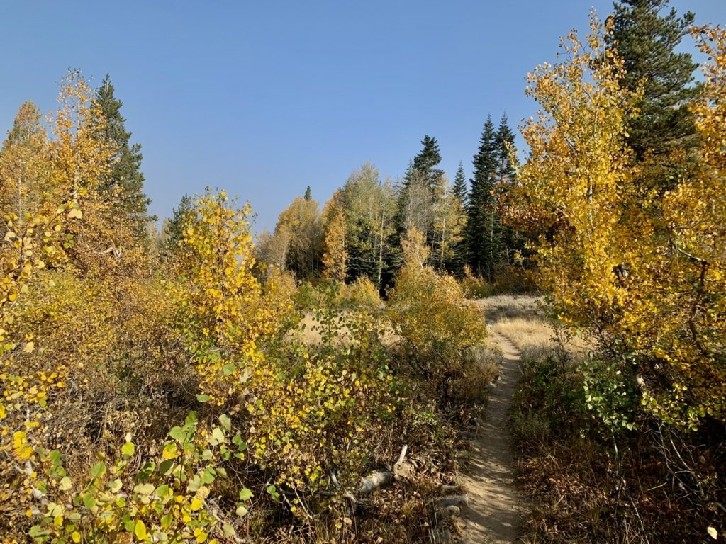
Bunny loves her aspens in the fall

I climbed up another 100’ of elevation on the opposite side of the valley. We’re not certain if we need to be this cautious, but the original order called for the possibility of 6 months in jail and/or $5,000 fines for violating the closure order. The 6 months free room and board doesn’t sound bad to me with winter coming up. It’s the fine that scares me. That’s 2 1/2 months trail budget. If we both get nailed, that’s an entire hiking season. Too risky. 

Round Lake
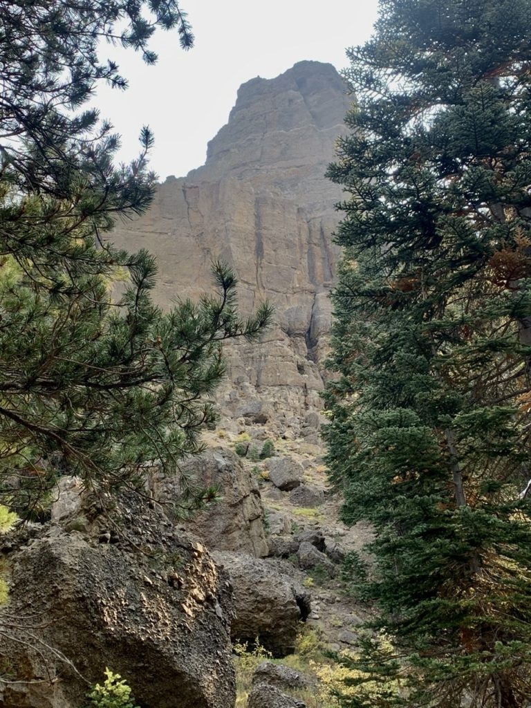
The rock formation above Round Lake

I took advantage to go through our food and get organized. We had gotten some protein bars and calogen bars from Backpacker to test. I won’t mention the bars by name because, quite honestly, they are the worst things we’ve ever had. I wrote the first ones off to bad luck. The second ones we ate were best described as “not terrible.” It was coconut lime protein bars. We could at least bite into them. The third time, we tried peanut butter. Neither one of us could take it. I thought I’d try an experiment. I put the partially eaten bar out near where we had been watching chipmunks (mini-bears) running around. When we got up in the morning, the peanut butter bar was still there, but 4 chipmunks had hung themselves. 

Just 106 miles to be back to where we started

I’ve isolated the rest of the “bars from hell” and tonight I’m going to line them up on the ground around our tent. To further test my hypothesis that ‘these bars are only good as a repellant and are not really edible’ I will prepare supper in the tent. When we are done, we will not clean up anything but instead leave the food bags open and the garbage strewn around inside the tent. We might even rub beef stroganoff behind our ears and all over our feet. 

A pleasant lunch spot

If my theory is wrong, this will be our last blog entry as we have finally had a bear encounter and gotten eaten. But, I suspect, we will not only wake up safe and sound, but a bear will have caught and killed a deer and leave it outside our tent. Contrary to what people think, bears are very compassionate creatures. If they come across starving humans, they will feed and protect them. I suspect the reason people don’t hear more of these stories of bear compassion is that the bears expect sex in return. There is no “3 date” rule with bears. 

A well hidden camping spot

EFG