
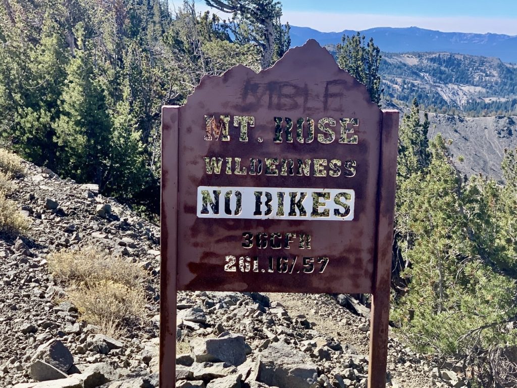
We were too hasty with our morning prep work. We’ll chalk it up to mental fatigue from lack of sleep. Even though we were in the tent for 14 hours, our sleep was less than stellar. I was chilled almost all night. My straps on my quilt were too lose, so every time I flipped over, I got cold chills down my back. True to its word, my quilt didn’t let me die. It just kept me alive and miserable. All this led to my haze about not considering we were at Mt Rose Pass. Mt Rose is a direct link between Incline Village and Reno. It’s a very heavily travelled route which means…bathrooms and trash cans. Moses could have been admitted to the promised land if he’d only waited a little longer.

Today was supposed to be a short day primarily because of water availability. But it was also a highlight day because we are to climb to the highest point on the TRT…just a little over 10,200’. The campground was at 8800’ which explained why I was dragging right from the start. I didn’t realize we were in my 9,000’ slow down zone. At least I’m not having headaches anymore.
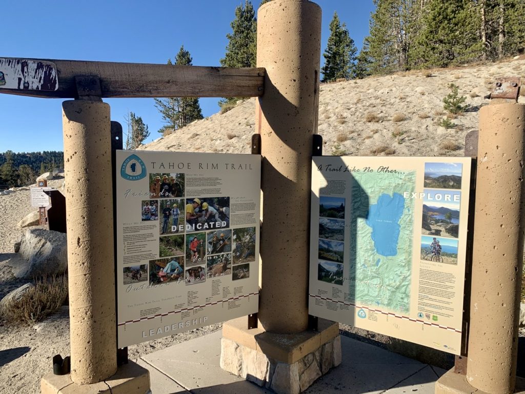
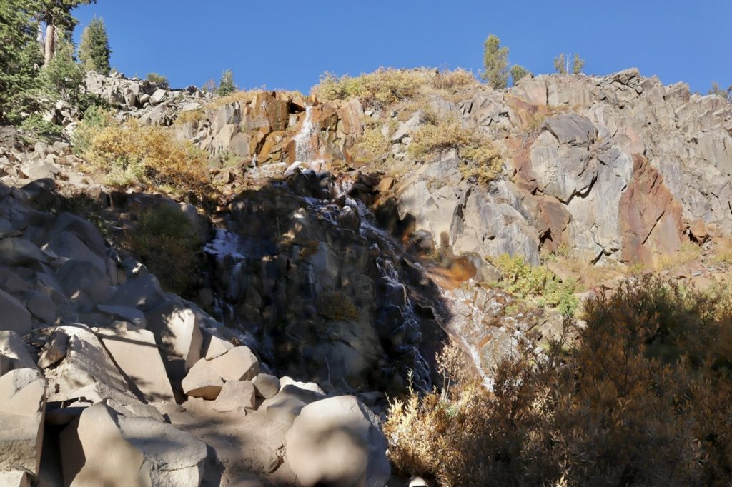
There were a few day hikers out at the pass. This is a popular starting spot to walk through Tahoe Meadows (which we did yesterday), go see Galena Falls (which we are going to today), and to climb Mt Rose (which is too far off the trail to get Bunny to agree to back to back side trips). Once we made it past Galena Falls, which is only about 2 1/2 miles from the pass, we had the trail to ourselves.

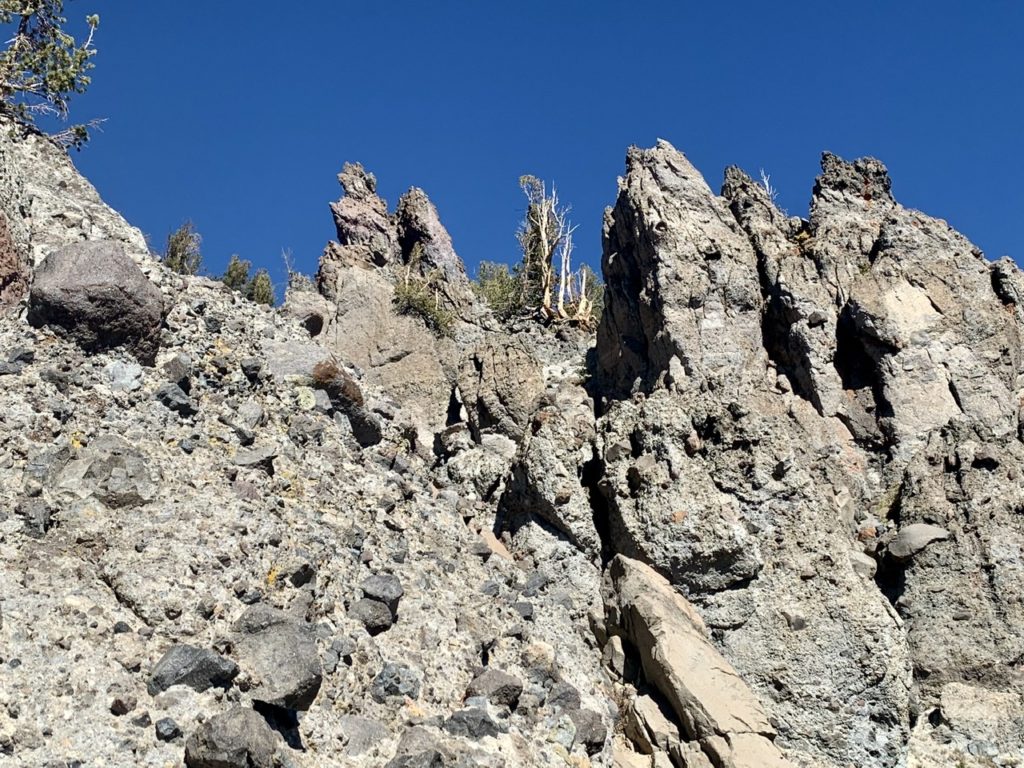
It’s not a well kept secret that I’m afraid of heights. After the falls, we started climbing diagonally up the side of a ridge taking us up to 10,000’. It was sunny and warm, but I didn’t notice that. I only noticed the loose rock on the trail and the thousand foot plunge to certain death. I was freaking out. The closer you get to 10,000’, the more noticeable the lack of oxygen in the air becomes to an old body. I was stopping a lot to catch my breath and look around. Bad idea.
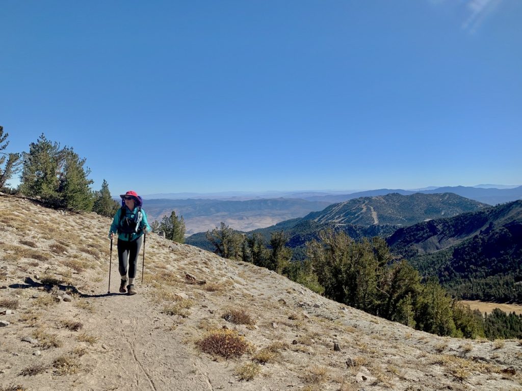
I started noticing where our trail was headed and how narrow of a ridge it ran along. When I saw that, I started getting dizzy and having an irregular heartbeat (in my mind). If I start freaking out, Bunny usually follows. Once I said I was getting dizzy, she noticed she was as well. I wanted to lead because I didn’t want to see Bunny so close to the edge of a big drop. I noticed that when the trail passed over a gradual slope with trees beside it, my dizziness and irregular heartbeat disappeared. I figured out that my dizziness and heartbeat were panic induced. Bunny started talking to me about other things to take my mind off of the climb.
This helped calm me to a point, but I didn’t want her too close behind me, especially on steep drop sections. I asked her to please stay at least 10-15’ behind me. She has a tendency to stick the feet of the person in front of her when she talks. (Bear, Sassy, Charcoal, and/or Struggles, please confirm this). With me already being weak kneed, it wouldn’t take much to throw me overboard.
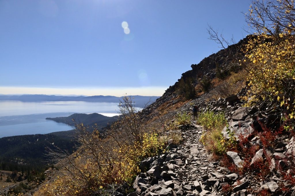
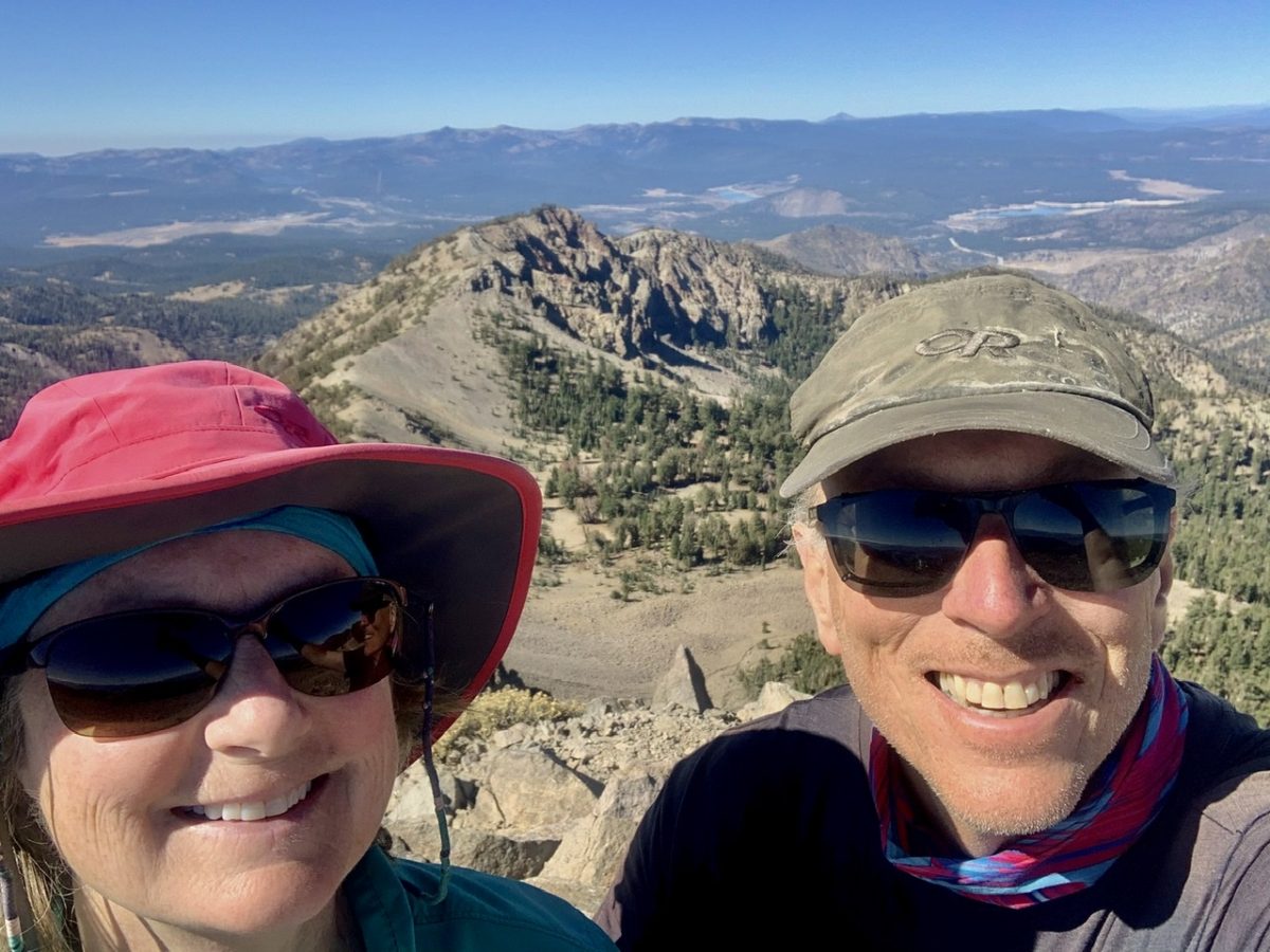
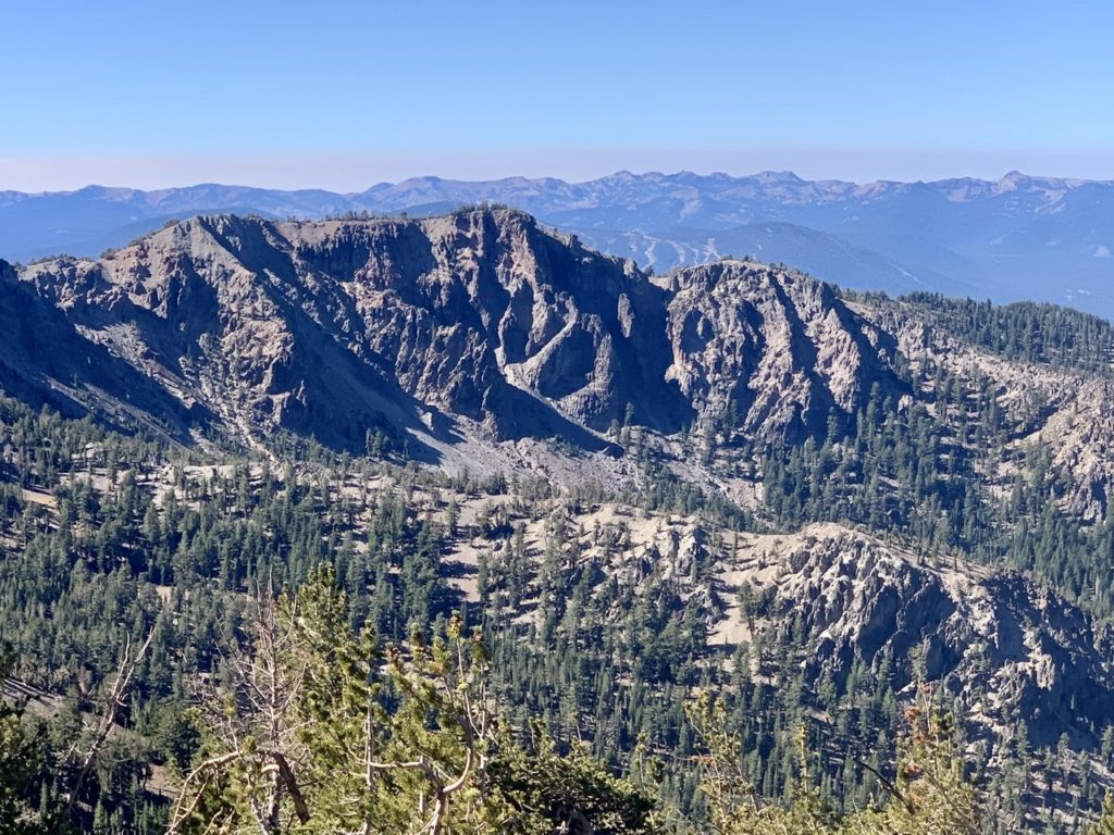
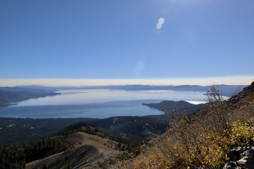
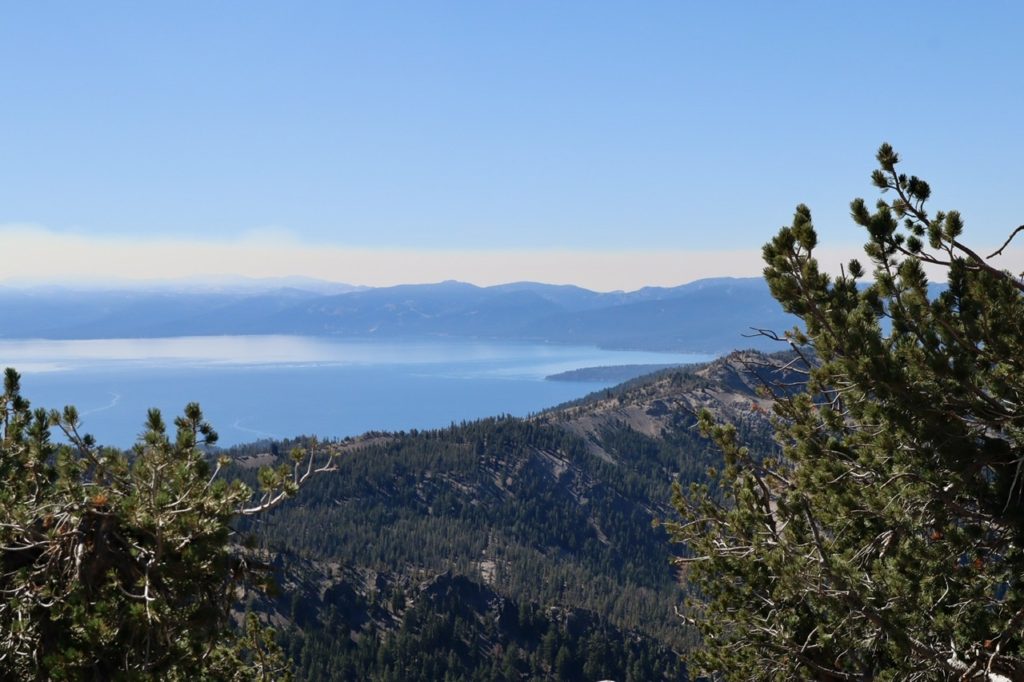
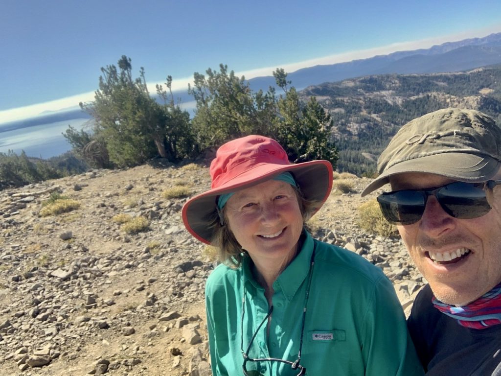
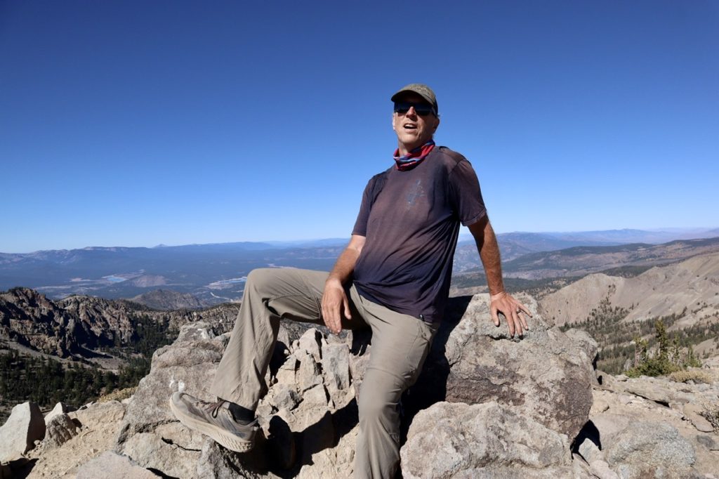
We made it to the top of Relay Peak just around noon. It only took us a little over 3 hours to cover the 6 miles, so we weren’t going as slow as I thought. The views from up here were breathtaking (or was that the altitude?). We could see Truckee and Donner Lake to the west. We could see Reno to the east. We could see several reservoirs to the north. We could see mountains stretching out to the southeast in Nevada. We could see several high peaks in the Sierra to the south that were shrouded in clouds. But the most amazing thing was seeing Lake Tahoe in its entirety. It was worth the effort to get here.


Bunny wanted to get down a few hundred feet before we stopped for lunch. She was hoping for a shady, level spot to eat at. It only took us another hour of downhill walking to find the spot. While we were eating lunch, we started studying the map in a bit more detail. The spot we were planning on camping tonight is about a mile off trail and 800’ down. Tomorrow is already scheduled to be a 17+ mile day and having that big of a climb right at the start might just zap us. We started looking for alternatives.

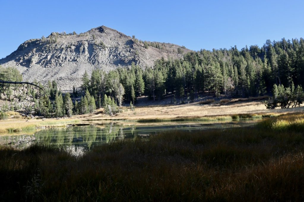
There is a “reliable” water source just before the first turn off the TRT. If we can fill up with water there, we could carry enough to walk an extra couple of miles today and shortening up tomorrow’s miles. This was our new plan. New plans made on the fly have a tendency to have holes in them. This plan only had one hole. The “reliable” water source was bone dry. This is the true definition of irony…we can see over 40 trillion gallons of water, but are incapable of getting a few liters. We tried coming up with alternate plans such as: Bunny will stay on the ridge while I climb down to Gray Lake to get water. We weren’t certain that there was even water down below which caused more uncertainty. If I had to climb down a mile, filter water, and climb back up, we’re talking well over an hour. I didn’t like the sound of separating for that long.
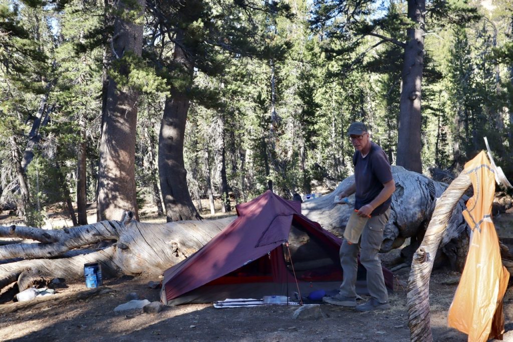
Ultimately, we stuck to our original plan and hiked down to Gray Lake. We found a beautiful spot at the top of a water fall which is the outlet of the lake as it makes its way down to the Truckee River. We set up camp, filtered water, cleaned up, cooked, ate, and got ready for bed well before the bewitching hour of 6. Bunny even double drugged me to sleep tonight which is why this is such a bland rendition of the day’s events. I hope to sleep tonight (and wake in the morning).
EFG
The photos taken are so gorgeous. They really capture things not seen on road trips!
Thanks Angela. The main reason we hike is to get away from the roads and masses. I’m glad we can capture a part of the experience, but the pictures really pale compared to the total immersion.