
Since all California National Forest have been shut down an additional week (until September 21), we decided to rent a car and tour the upper Rocky region of Wyoming, Montana, and Idaho to look for someplace to live when we get done hiking. We’ve already eliminated most states from our reckoning. We started out with a list of 8 possible states (Washington, Oregon, Idaho, Montana, Wyoming, Maine, New Hampshire, and Vermont).
When we hiked the AT, we eliminated Vermont (because of average age of population and terrible trail conditions…we may have been hasty on this one—we’ll color it a maybe leaning towards out) and New Hampshire (the state motto of “Live Free or Die Stupidly” was the tipping point after our introduction to the AMC—Appalachian Money Club). Maine is still a front runner in my book. Bunny is worried about the harsh winters but wants to live high in the mountains. Luckily for me, she’s generally smart and really good looking.
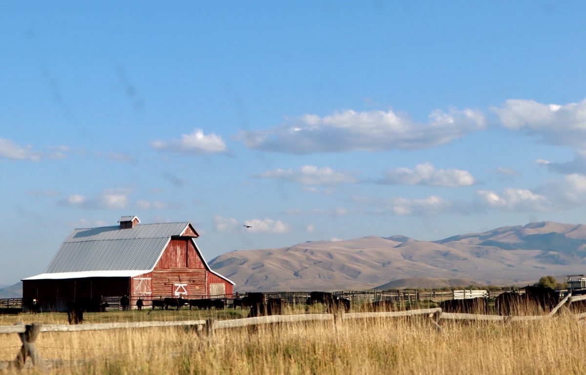
This gave us the perfect opportunity to check out the Bitterroot Valley in Montana which was very high on our list. Bunny came up with a route plan that would give us a good sampling of all 3 states. We don’t really need to look a lot at Wyoming…Yellowstone and Jackson Hole are reason enough to keep it in consideration. I’ve been to Idaho before and like the nature, but it’s history of white supremacy made me want to not include it. It’s not like the Northwest is known for its racial diversity (other than the coastal cities). Colorado is always an optional #9 except for cost (but I digress).

We started out from Reno, NV getting our car around 4p. As we were driving across Nevada, it occurred to us we had never even given Nevada a second of consideration. I recommend to everyone to drive through Nevada in any direction for any amount of time and you will be amazed at the utter desolation that exists in this country. Even the people that live there walk around with a “how much longer do I have to live” look. The only saving grace to Nevada is something that I cannot, nor want to partake of—brothels. Except they don’t call them “brothels,” they call them “girl ranches.” Nothing like elevating women to the height of cattle.

There is one other benefit to NV. The speed limit is 80 mph. Even the state realizes people want/need to get through this area ASAP. The Donner Party (aka Truckee Meat Eaters) had the choice of staying in Nevada Territory for the winter or facing almost certain death if they continued on. They chose death. (For those of you unfamiliar with the Donner Party, look it up. This is really a tragic story which should not be made light of. That’s why I do it.)
We reluctantly spent a night in Elko, NV. Some people claim the Marble Mountains are worth a visit and Elko is the gateway. I, personally, like trees on my mountains. Sage brush just doesn’t cut it for me. The only pioneers that settled in the state had already given up on life. I’m sure some people can, and have, make a great living here. Land is cheap. There are minerals to be mined. Lobotomies are complimentary.
From Elko, we drove north to Idaho. We crossed into Idaho on a two lane highway with the same attractive surroundings we found in NV. We were at nearly 6,000’ elevation. We were quite surprised to see an “all water craft must stop for mandatory inspection” station. Idaho, and Nevada, have managed to capture every drop of water that runs into their areas and create vast, treeless, reservoirs that have zero appeal as a water destination. But, they stocked them and put up liquor stores on the shores. Instant fishing paradise.
As we continued north, things did start to get a bit more interesting. Maybe not interesting, but different. As we approached Twin Falls, I began to realize 2 things about our country: 1) It is huge! Not just big, spectacularly big. We hiked in France in the wilderness of the Pyrenees and realized we had just driven through a void larger than the whole of that mountain range. And, 2) every city in the US with a population of 25,000 to a million is pretty much identical. Nay small towns less than 10,000 or major cities have unique character. You can’t land in New York and mistake it for San Francisco. But you can land in Twin Falls and mistake it for Decatur, IL. That is, until you come to the Snake River Gorge.

This huge gorge is right on the edge of town and it is spectacular. What has Twin Falls do to capitalize on it? They built a strip mall on the South Rim so you can’t notice the gorge in town and they put a golf course in the bottom. You don’t even know you are near the gorge until you are on the bridge traversing it. Imagine coming across the wilderness in a covered wagon and not knowing this thing is here. You literally cannot see it until you get right to the rim. I wonder how many “oh shits” we’re let out by the first settlers.

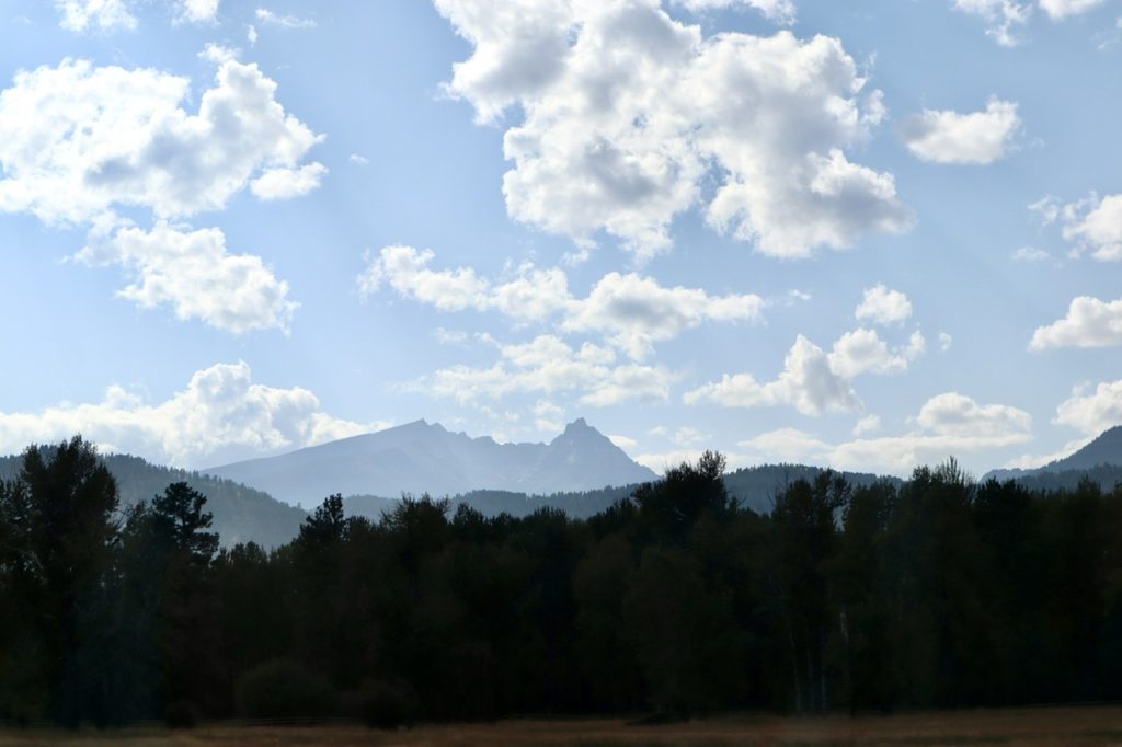
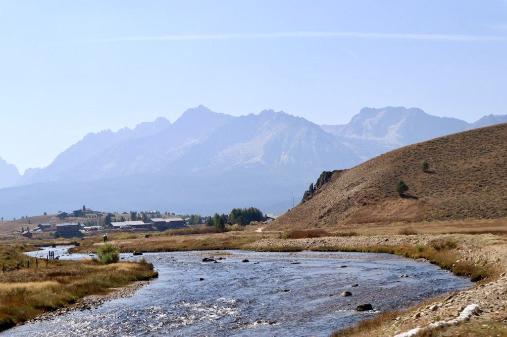
Southern Idaho was just a continuation of Nevada which was a “no go” for us. There is definitely more population here and some fertile looking farm land, but I have no desire to relocate from the Midwest to the Midwest. It wasn’t until we got north of Idaho Falls near the Grand Tetons and Yellowstone that we became interested. We drove to the western entrance to Yellowstone (appropriately called West Yellowstone) to check out one sleeper we had heard about—Island Park.
Island Park has the distinction of the longest Main Street of any “city” it’s size. With a population of less than 300, its Main Street is over 33 miles long. We dug a little deeper to find out it only became a city when the local vacation lodges banded together to form a “city” in response to an Idaho state law prohibiting sales of alcohol outside of cities. The average width of Island Park is less than 500’. There’s only one gas station (that we saw), an empty laundromat, and a very depressed, vacant looking main drag. The first location we had hopes for turned out to be a bust.

We drove on past West Yellowstone and decided to camp in Yellowstone for the night. We purposely avoided Yellowstone NP’s main features as we have future plans of hiking the Continental Divide Trail and I want to be surprised then (Bunny has already seen it all). We car camped in our Jeep Compass and it was neither pleasant or unpleasant.

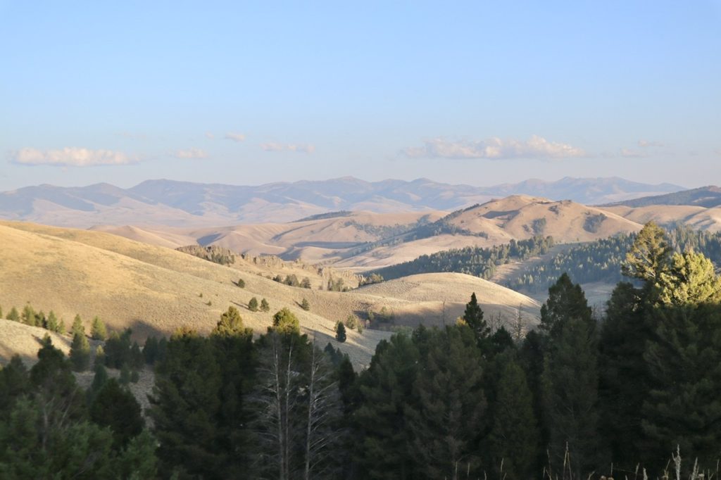
The next day, we continued North into Montana. From the time we got to West Yellowstone onward, we were just completely in awe of the beauty of the mountains and valleys. I kept reminding myself “this area was NOT included in the NP and it was some of the most spectacular country I have ever seen. We stopped in the resort village of Big Sky, MT. Every view was post card quality. We drove into some developments looking at land. We found out Big Sky does not want riff raff like us with undeveloped lots starting at $400K. The better the view, the higher the cost. We loved the area, though, and refused to strike it off our list. Towns need poor people to work, so there must be some place affordable near by. We later found out we hadn’t actually made it to Big Sky proper, so we will be back.

We drove down to Bozeman and experienced the “every medium sized city is alike” phenomenon. One man had everything, but nothing spectacular or unique. We couldn’t see any mountains at all because of the smoke from the CA fires that ad filled the valley. Perhaps under clear skies, we might feel different about Bozeman. We did like the proximity to Yellowstone and the city seems to be prospering. Instead of continuing East in the valley to Livingston, we decided to make a loop north through Butte and Helena to Glacier NP.
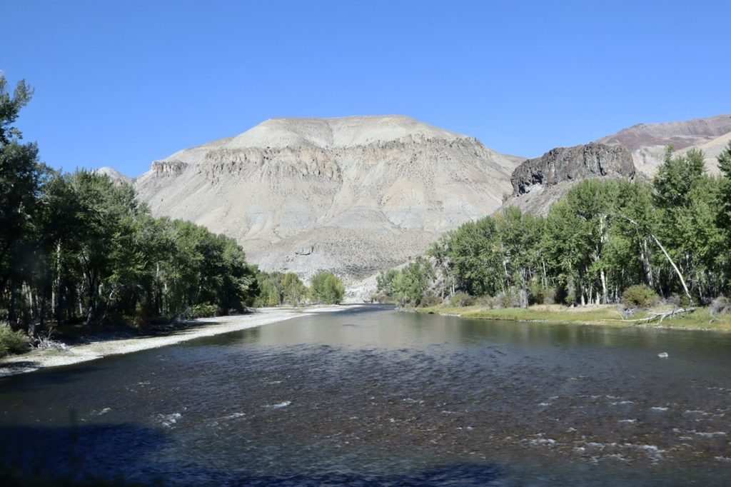
Along the way, we drove through the headwaters of the Missouri River and ended up driving parallel to the river from Helena to Great Falls. (Medium sized cities of similar blandness). The Missouri is already an impressive river way up here near its head. Lewis and Clark came upriver all the way to this area before the river got so rough that they had to trade their boats for horses and continue overland. Eastern Montana is just as mind numbing as Nevada ad Southern Idaho. It is the Great Plains…fertile, open, boring, and depressing if you don’t like wide open spaces where you can see forever.

We ended up dropping into Shelby for the night. Shelby is a major railroad port between the East and West. It sits down in a river valley that offers little to no protection of the cold winter winds blowing down from the Canadian Plains. We couldn’t wait to head back west into the mountains and Glacier NP. But first, we had to pass through one of the most depressing places I have ever been—Browning, MT.
Browning is the headquarters for the Blackfeet Indian Reservation and the eastern gateway to Glacier NP. Browning is a great reminder to African Americans that they are not the bottom of the heap in America. We tend to forget that our early country was involved it’s it’s own genocide. Things have not gotten much better for these survivors in the last 170 years other than we let them build casinos on their lands. There was a big casino, the only sign of something new built in the last century, with a completely empty parking lot. Covid leaves no corner of the world untouched. Browning makes Baltimore’s downtown look like absolute paradise. I’d choose East St Louis as a place to live over here.

To get to the eastern entrance of Glacier, you have to drive across the Blackfeet Reservation. Since they got zero assistance from the US government during the pandemic, they chose to shut down their lands to outsiders to stop the spread of the virus. The only assistance they received came from outside the US. I did not feel comfortable or welcomed here. We headed west around the Southern border of Glacier.
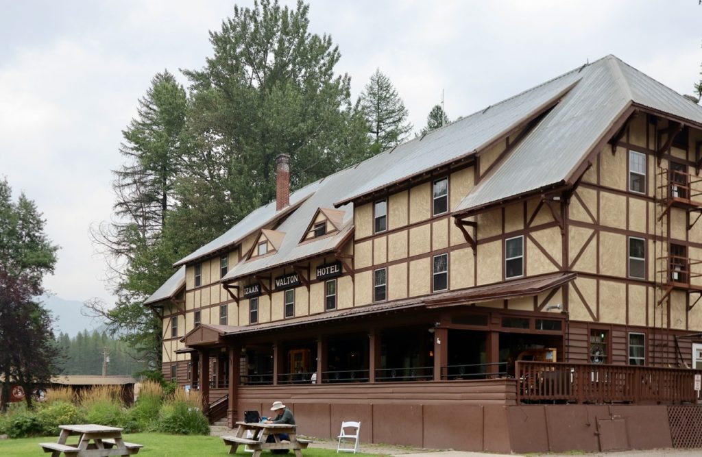
The valley was amazing and steep sided. At only 5200’ in elevation, Marias Pass is one of the lowest passes across the continental divide. The railroad was built here in the 1890s (which accounts for all the railroad traffic we experienced in Shelby). This would be a very harsh area to overwinter because the sun cannot reach the valley floor. T was too remote for us. The western end of the valley opens up Columbia Falls, Kalispell, and Whitefish.
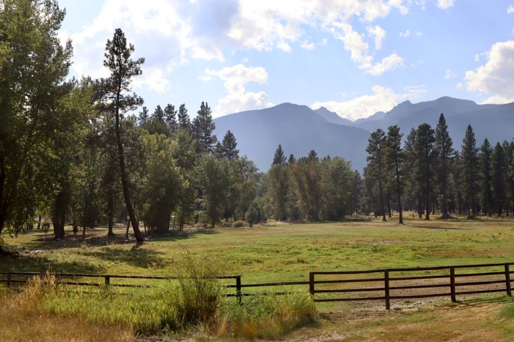
We have come to the conclusion that we are attracted to small ski towns. They tend to be compact, have all the conveniences we desire, have good restaurant selections, and have quaint downtowns. Whitefish was everything we desired and more. It has a river, a nice lake, lots of parks, less than 10,000 people, it’s next to an outstanding National Park, and is well kept. The population is a liberal pocket in a conservative state. Kalispell has all the major shopping and is less than 20 miles away. We fell in love. This is our current front runner in the West.
We still had high hopes for the Bitterroot Valley south of Missoula (and Missoula itself, for that matter). We headed south along the western shore of Flathead Lake which is a huge natural lake with a larger surface area than Lake Tahoe. There were some beautiful little bedroom communities along the lake shore, but they were missing most of the amenities we are looking for. We spent the night in the Missoula and explored it a bit to get a feel for it.

Although Missoula has mountains, rivers, and a wide variety of services (its the second largest metropolitan area in Montana, 120,000), it just felt too big for us. The downtown is anything but quaint. The rivers are pretty ignored by the city as focal points. It is liberal minded which is a plus to us. If we find someplace in the Bitterroot Valley, this will be our shopping Mecca.
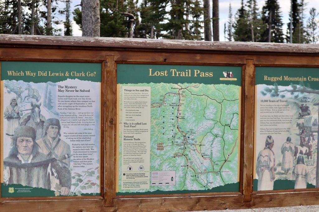
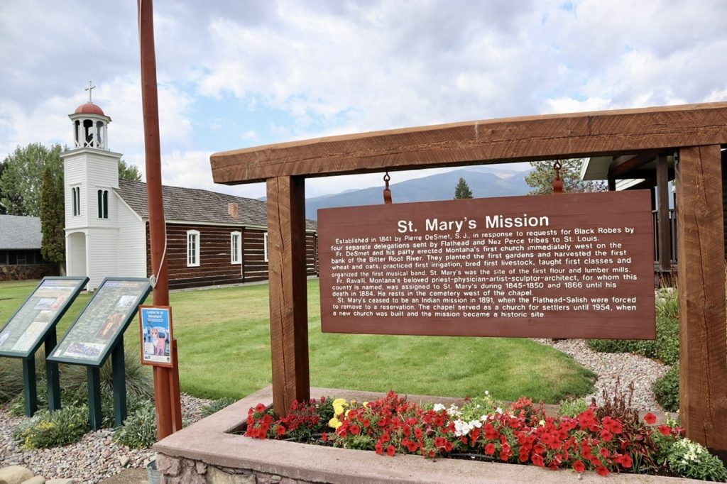
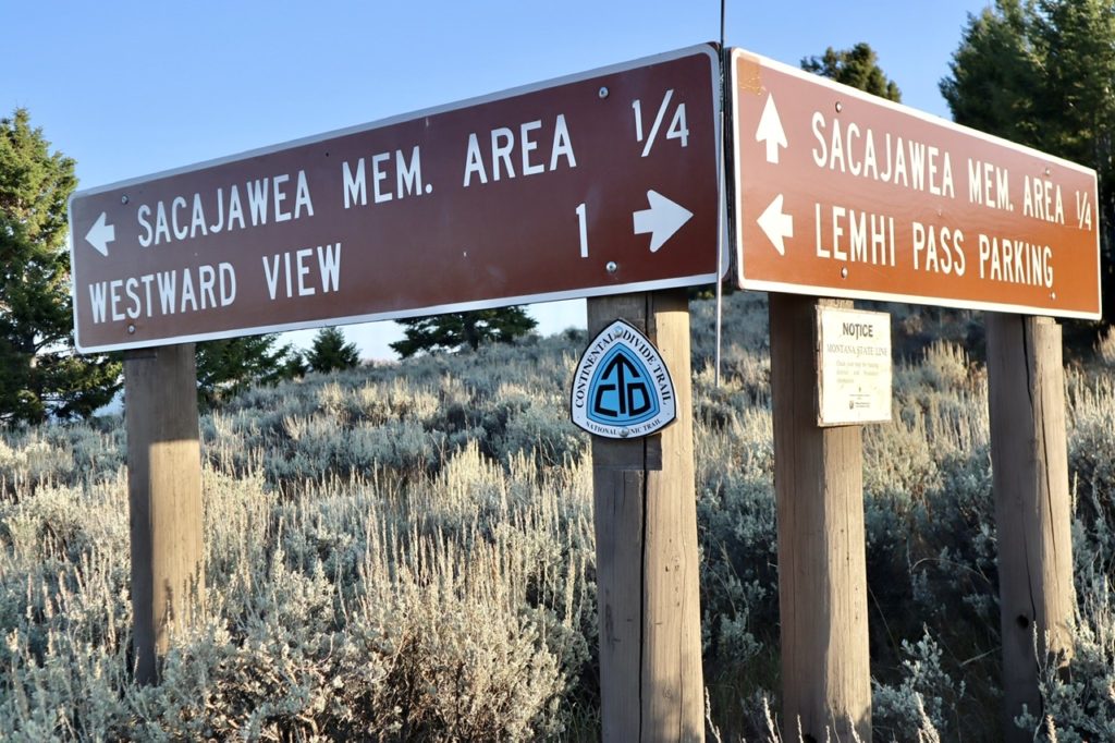
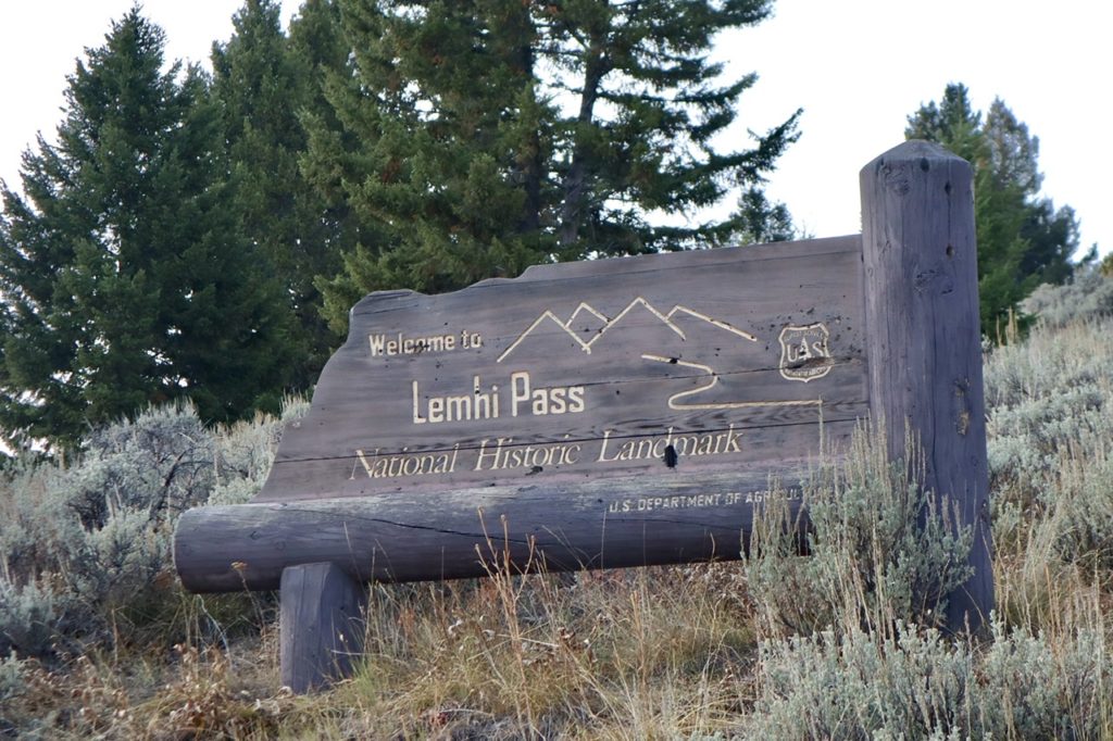
The Bitterroot Valley, our last hope and what drew us to Montana to begin with. It’s called the “banana belt” because of its mild winters. The set for the TV series, Yellowstone, is here. It’s approximately 100 miles long and 25 miles wide with the Bitterroot River running through it. It’s the home of Montana’s first and oldest settlement, Stevensville, which was home of St Mary’s Mission. Lewis and Clark either came through Lost Trail Pass or Lemhi Pass which are south of the valley. There’s a lot of history and beautiful nature. We were totally disappointed. We had such high hopes, but Whitefish is our front runner.
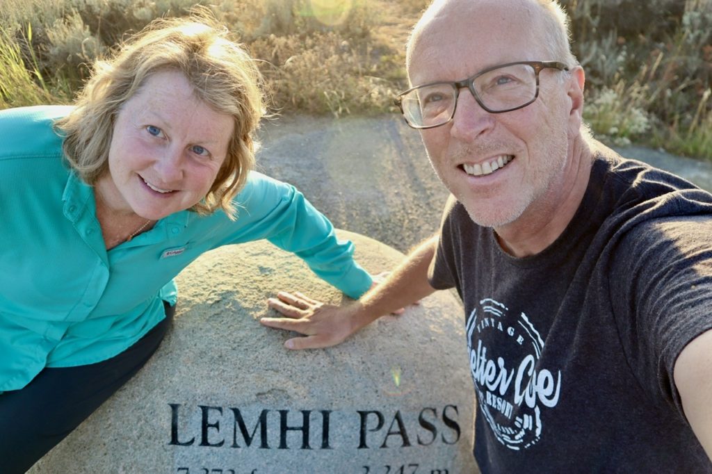
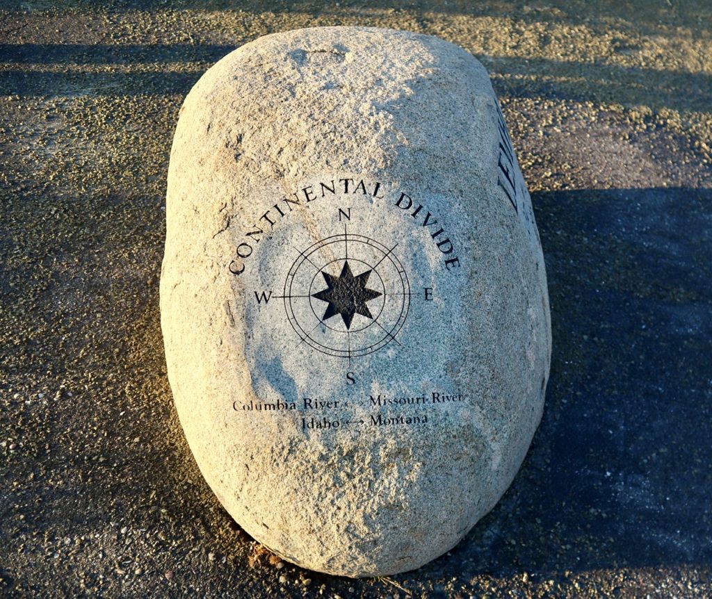
We drove through all of the towns and found them all lacking in one way or another. It was probably much more affordable, but just didn’t excite us. We chose to drive up to Lost Trail Pass and circle through Lemhi Pass down to Salmon, ID for the night. Lemhi Pass is one of my father-in-laws favorite places out west. At least part of the Lewis and Clark expedition went through this Pass. He has visited it a couple of times and shown us pictures. It was excited to discover the Continental Divide Trail went through it. He loves the history and Beaty of it. He’s told us everything about it, except that you can only get up to it on gravel roads. I’m afraid of heights. This was a critical, missing detail.
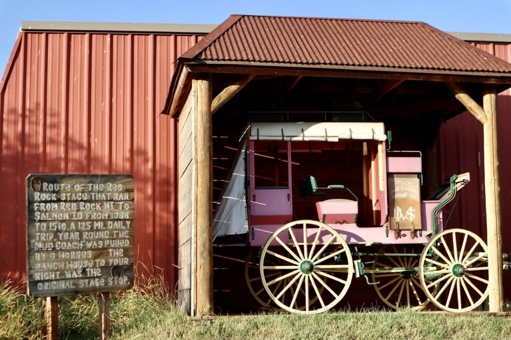
There used to be a daily stage coach running over the pass and back every day. All I can say is that the men and women who routinely went over this Pass, to the last person, had bigger balls than I do. The drive up from the East wasn’t really that bad. It was the first 3 miles going down the West side that caused me to throw out my underwear. To make matters worse, we didn’t have the maps pre-loaded on getting down. We only had the map getting up and there was only one route up. When we got to the top, there were a couple of roads. I tried to find the route and they all ended in dead ends.
We did finally get enough signal to find the route down, but I’ve made up another set of rules for when I follow Bill’s suggestions: ask more questions about the route, have paper maps as back up, question road type (paved, gravel, horse track, etc), and question his state of mind when he was there. My father-in-law has driven over some of the most deadly passes in CO. He has the nerves I don’t. When I see some of the places he has driven, I get physically weak from looking at the pictures. Even his family has gotten out and walked rather than ride with him. He has no fear. I have way more than my share.
From Lemhi Pass, we spent a few more days exploring Idaho’s Salmon River Valley and Sawtooth Mountain Range. We went to Ketchum where Ernest Hemingway killed himself. Everything we saw was too expensive or too remote for us. It was all beautiful, though. We are looking for a retirement location with conveniences. I no longer wish to build from scratch what I want. Even though I’m younger than Bunny, I’m too old for that.
Our week of rental car was almost up, so we headed back to Reno via Boise, ID. I have worked in Boise in a previous life years ago. I knew it was on the north edge of the plain and decided we’d just do a quick drive by then head into Eastern Oregon. There is a route that parallels the PCT that runs from Mexico to Canada and never leaves the desert. Why in gods name would anyone want to do that route unless they have just quick liking life.
We had one more stop to make once we got back to Reno. Our winter gear had gotten shipped to South Lake Tahoe by our Angel, Digit Alice. Bunny had gotten to cold a couple of nights we camped and said she wouldn’t hike without her warmer clothes and bag. South Lake Tahoe really surprised us and it’s not completely out of line on somewhat affordable housing. There are extravagant house to be had as well, but they seem to top out around $27 million in South Lake Tahoe. The expensive houses are on the north shore. There’s a wide plateau south of the lake which is slowly expanding. Lake Tahoe is beautiful, clean, has incredible outdoor activities (hiking and biking in summer, snow shoeing, cross country skiing, and downhill skiing in winter). Even though we dislike the idea of living in CA, South Lake Tahoe is on our list.
After returning the car, we decided to take a recovery day before starting to hike again. We had just driven almost 3000 miles in less than a week. We made our train reservations to get to Truckee, but the train was late—over an hour and a half late, making it not worth trying to hike out starting at 2 in the afternoon. Amtrak gave us an additional zero which we spent at the Redlight Brothel and Ice Cream store in Truckee.

For every thousand miles we drove, we picked up another option of where to live. No place out west is as reasonably priced as Southern Illinois or Southeast Missouri. Most of the places we saw would even be out of range for my in-laws. My father-in-law was a physician for almost 50 years. For the life of me, I don’t know what people do to be able to afford multiple million dollar homes. As my grandmother always said when we pondered such questions—“drugs.”
EFG
Whitefish is an excellent choice!
We definitely like being in the mountains.
Addition to your Whitefish notes, you are only a 5 1/2 hour drive from me!
More importantly, it’s only an hour from escape should “The Hand Maid’s Tale” future gets activated. We hope to make it up to visit before we move.