

I heard Jeff again this morning, but there was no way I was going to get up that early when we paid for a place to sleep. As it was, with the comfortable air temperature, the soft bed, the convenient toilet, and my wife next to me, I had a very hard time falling asleep. It was too much comfort for only the fourth night on the trail. I had to resort to drugs to fall asleep to assuage my guilt.

Jeff quietly exited the cabin well before 7. We rolled out of bed around 8. We showered again…because we could. The cabin was rented until noon and the store didn’t open until 9. We watched a little TV while we ate our breakfast. We tried to take our time, but we were still ready to go by 9.
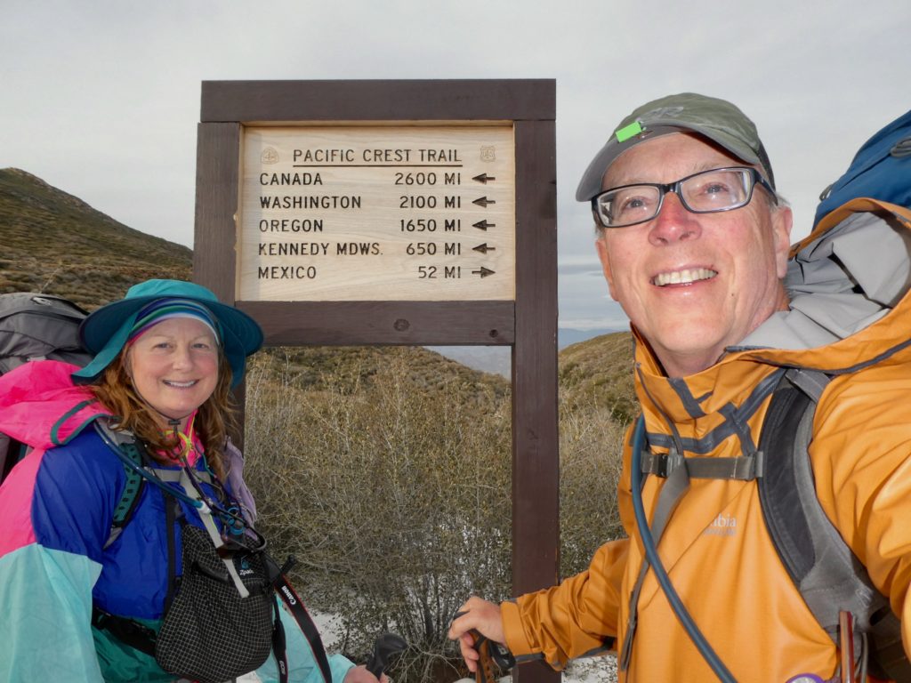
I dreaded the half mile road walk back to the park. We had to snow-bushwhack to get back on the trail. It was 9:30 before we were actually making trail miles again. The trail was exactly as we had left it—snow packed. It would have been much easier going if we had some snowshoes but I just didn’t think to bring any since we were going to spend the first 700 miles of the trail in a Southern California desert.
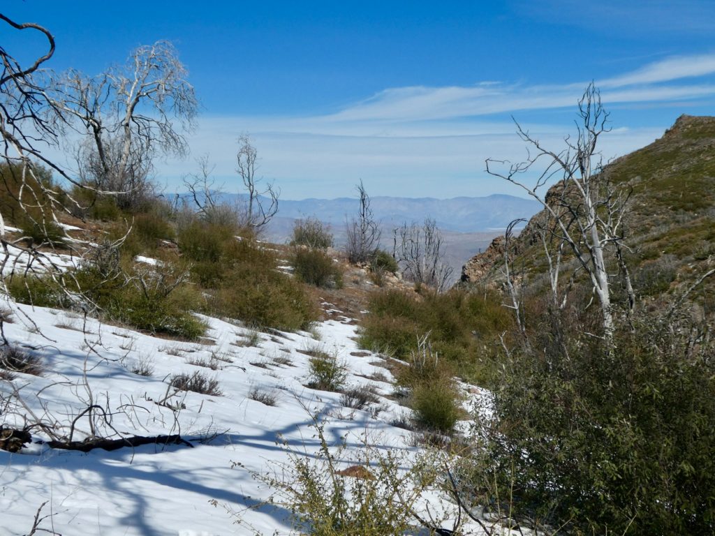
Fortunately, the snow didn’t last. What I mean is that it was reduced to extended patches of snow which we had to trudge through. It still took extra effort to walk because we have to lift our feet so much higher between steps. I was doing alright until Bunny shoestringed me. I went head first into a drift and desert plant (not a cactus). I was picking grass, leaves, and sticks out of my teeth, ears, and hair for the rest of the day. The second shower didn’t take.
The grade for today was never worse than 250’ per mile. If we got a grade on the AT of less than 500’ per mile, we considered it to be a level section. The snow slowed us down a little, but there is really little cause to complain, so I won’t. More evidence of personal growth on my part.

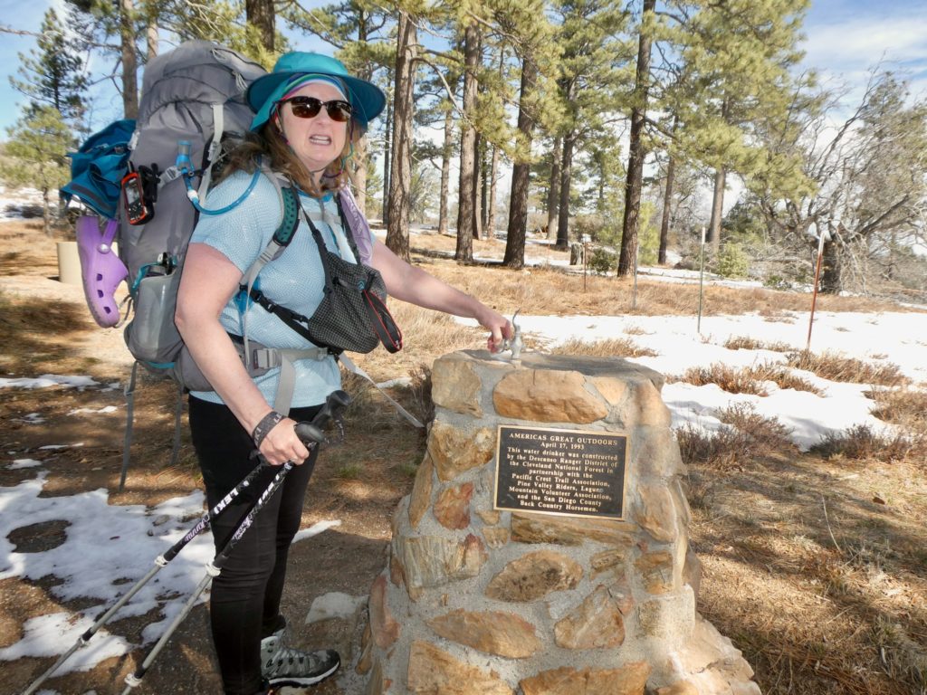
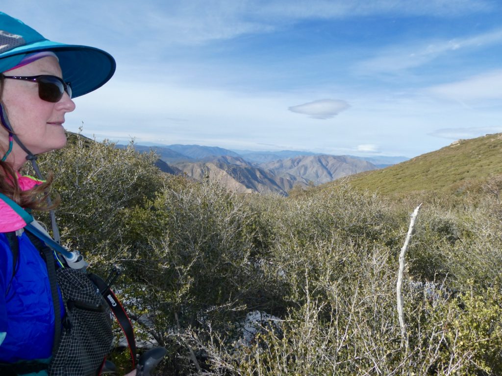
We walked on a ridge line overlooking what turned out to be the Great Southern Overland Stage Route. I’m not sure of the entire significance of the route, but I’m sure it was one of the routes of the Pony Express for bringing the mail out in winter time. Prior to that, I’m sure it was a major route for settlers coming into Southern California.
We did have one exciting encounter today which was a cross between paranoia and wall hysteria. San Diego county, where we are currently hiking, is 60% Hispanic meaning English speakers are in a slight minority (most Hispanics tend to be bilingual). We were standing on the trail looking (unknowingly) at the stage route when two guys walked on to the trail in front of us. They turned around when they saw us. At first, I’ll admit that I though it was suspicious that they backtracked to us. They were both carrying day packs and neither one spoke English. The guy could only say “cell phone” to which I replied “no service.” I never got a danger feeling from the guys.
We walked on and they dropped back to give us space but they walked along behind us, the same direction they were going when we first encountered them. It was here that Bunny got scared because they were following us. All the “wall furor” that we have been subjected to on the evening news was bubbling over. The trail was running close to a road and they got off the trail and on to the road. We never saw them again.

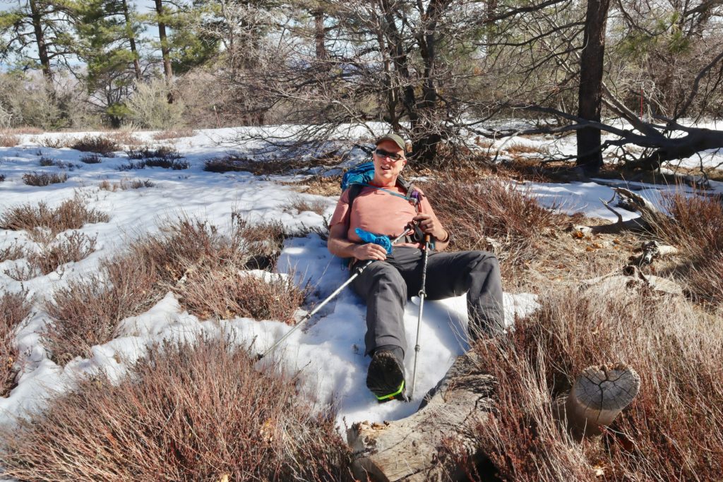
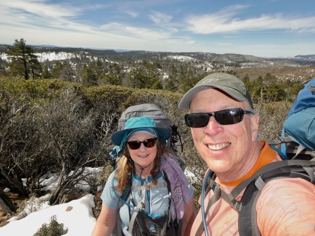
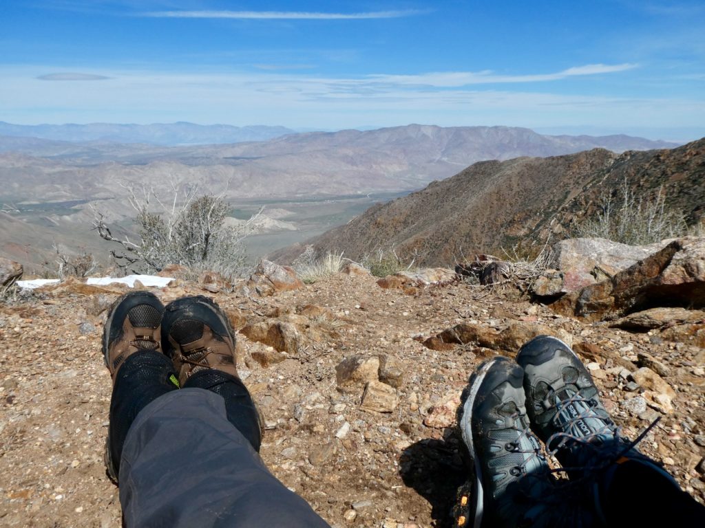
I do think we are starting feel better physically today, but I’m still having some foot issues. Really, ankle weakness. I had to stop a couple of times in the final couple of miles to rest. The wind was terrible the second half of the day for us. It was easily blowing 20 mph continuous. I’ve heard the wind can be bad in this section but I’m concerned because of the forecast for tomorrow—90% chance of rain.
It wasn’t until we got to the picnic area where we had planned to stop that we actually ran into some other thru-hikers. There were 3 people here: Daniel, Alley, and Superman. Apparently Superman hasn’t gotten a trail name yet. Alley and Daniel said we were welcome to set up our tent with theirs and invited us to have supper with them. We were just relieved to finally run into a few more thru-hikers. They said 6 people had started on the same day they did (the day we were supposed to but couldn’t get a bus) but 3 have already gotten off trail because of the snow. This brings the known total of hikers to 8. By this time last year, we knew probably 30 people hiking the AT. Where is everyone?
EFG
The Great Southern Overland Stage Route was used to deliver mail from San Antonio to San Diego and used part of an existing “road” from Spanish days. The trail also brought prospectors to the California goldfields. The Pony Express went from St. Joe, MO to the San Francisco Bay area – much faster on horseback – 10 days to deliver the mail.
It is gloomy here but has warmed up into the low 40s with rain and warmer temperatures on the way.
Be careful. Keep the tuna under wraps with all the mountain lions around.
I eventually found a faded sign that said the same thing. I’m thinking 1846 was the completion of the route but I couldn’t read the date for certain. Sounds like you are having the same weather there as we are here in the Southern Californian desert. Where’s the benefit of global warming? 😉 if the mountain lions want the tune, I will gladly turn it over. Actually, we haven’t resorted to the crap yet.