

We didn’t get the rain that we were hoping would cool everything off. That meant we had a miserable, sticky night. We had thought we would sleep in, pack up in the rain, and walk 5 miles to South Kent. On the bright side of things, we also didn’t have any college prep bears. Our food was safe and we were packing up dry gear.
We had been told repeatedly that it was 100% chance of rain for Tuesday. When we called last night to make reservations at Herman’s Cabin, Karen told us it was going to rain all day. People were getting storm warnings on their phones about flash floods from heavy rains. When we stopped at the pump on the way out of camp, a day hiker came up and warned us about impending rains and flash floods. I looked up at the clear blue sky and thought of the winter when I was driving 5 days a week to Mt Vernon, IL. The National Weather Service predicted 19 winter storms that didn’t happen and had no warnings at all for 7 that did. I was pretty sure we could make it 5 miles before any rain might materialize.
The trail has turned into a torture walk. Once again, it was unbearably hot and muggy with bugs swarming all over us. I had to put in my ear plugs again to maintain my sanity. We only had one mountain to climb over today, Ten Mile Mountain. As the name implies, we hiked 2 miles to get up and over it.

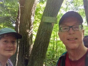
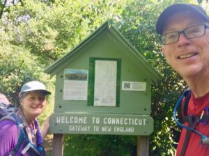
I’m not sure where everyone has gone. There were four other hikers at the shelter last night that left before we did. The only person we saw today looked to be a barefoot flower girl from the 60’s walking toward us once we crossed into Connecticut.
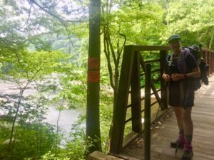
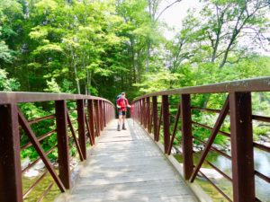
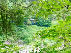
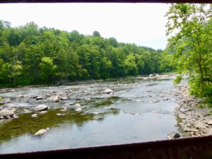
The other significant thing that popped out today was flowing water. CT is full of it. We crossed several streams and walked along a trout river that I could easily picture in Montana. We noticed a cabin on the other side of the river and took a picture through the trees thinking that it could possibly be the one we reserved for tonight and tomorrow night.
Our destination for today is at mile 1460. That is the 2/3 point of the entire trail (Appalachian Trail is officially 2190 miles in 2018). That means that if you take all the effort we have put in up to now, we only have to put in an additional one half of the effort we’ve already spent. Half effort is my wheelhouse. Katahdin, here we come.
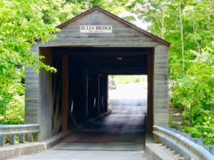
By the time we reached the road leading to Bulls Bridge, it was starting to cloud up a bit. It was still sunny though. We did our half mile of road walking to the General Store. We dropped our packs and went inside to get some food for lunch. And then a pint of ice cream…each. Finally, some drinks for our cabin since we were staying in the night.
The final 1/2 mile to Herman’s Cabin (that doesn’t count in our mileage) was a road walk along the shoulder of a highway. We were a little afraid we might be in the wrong place because it’s all NPS land. Karen and Cliff’s property is surrounded by National Park lands. Karen greeted us as we walked up the drive. She showed us around and took us to our cabin on the river. The same cabin we had taken a picture of from across the river 2 miles of walking ago. As soon as we got in the cabin, it started to rain.

It rained for about an hour, but not terribly heavy. Bunny immediately took a nap. It is a great location with the river flowing just outside our bedroom river. The National Weather Service has nailed it once again.

EFG