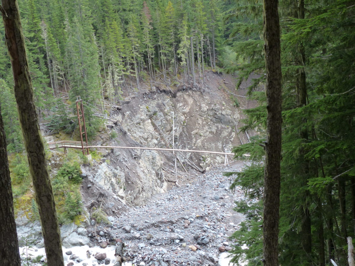
We got up and got going early and quickly today. The climb up to Devils Dream was kind of a hard way to start the day. The trail crossed a severely damaged river bed at Kautz Creek. There were plenty of cairns to mark the way through the wash. This is further evidence of the devastation from the 2006 floods. We passed the family of 7 again this morning on their way back down. They passed on greetings to us from John and Jenny.
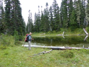
We stopped in Devils Dream for a bit of a snack before continuing the climb up to Indian Henry’s Hunting Ground. Once we got to the patrol cabin, we stopped for another rest and snack. We checked the log book at the patrol cabin and saw that Ginger and Chris had been here several days ago—no doubt, they were back home by now. The sun was shining, but Mt Rainier was still hiding in the clouds.
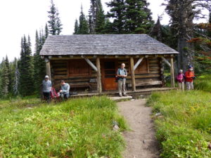
From the patrol cabin to Tahoma Creek Suspension Bridge wasn’t a bad hike. It was level through the meadow by Indian Henrys and then a steep downhill to the bridge. The bridge itself is 150’ long and over 200’ high—it is impressive (and a little scary). The 2006 flood took out all of the wooden planks on the bridge! This fact alone should give you pause when you start out across. We are way up there. I went first. I made sure that everything was tucked away including my hiking poles—I wanted my hands free to hold on. When I had crossed the Carbon River Suspension Bridge, the pull cords on the tent had been hanging out and kept getting caught on the bridge—I was having none of that on this crossing.
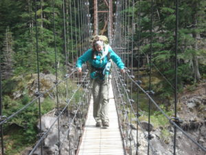
The bridge is located in a curve of the creek valley so you can’t start to get a glimpse of the glacier until you’re more than half way across. Also, near the middle, 3 consecutive planks were missing—about a 3 foot section. I had to stop and collect my nerve to step over this gap. When Pam came over after me, I saw something brown drop out of her pant leg before she stepped across; I pass no judgements.
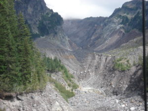
After the bridge, it was all uphill around Emerald Ridge. The maps only indicate a 1600’ climb but it never ends. We passed a group of 5 runners coming down and they tried to give us encouragement (they could obviously see and hear the death rattle around us). By the time we got up to the point of the Tahoma Glacier, the sun had disappeared and clouds were rolling in. The glacier rests over a couple of ridges and feeds both the Tahoma Creek and the South Puyallup River. As we expected, we were toast by the time we got here.
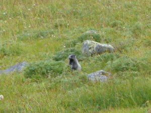
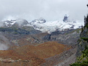
It was supposedly only 1.5 – 2 miles into South Puyallup Camp with only about 2000’ of elevation drop so it appears to be an easy hike down. However, this is a very steep drop with lots of big steps which proved to be very hard on the knees. We pass several overlooks of the South Puyallup River Valley and got some great vistas of the Tahoma Glacier in the evening light.
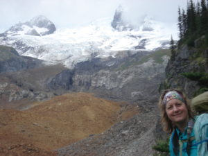
We didn’t make it into camp until almost 6:30. South Puyallup Camp tends to fill from the bottom up (I guess people don’t feel like climbing a lot to get to a camp after all the elevation change they have to go through to get here). There were only 2 campsites left when we got in and we didn’t take the highest one (I guess this is an indication that shit CAN roll uphill as well). We set up camp in the mist.
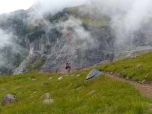
We still had to find some dry sticks for the stove and filter water. By the time we got everything done, it was dark. Our neighbors came up to see our stove while we were cooking supper—it’s a good conversation starter, but I’m beginning to question the weight on longer trips. This is definitely a survival stove.
Just as we crawled into the tent, it started to rain. Not too much later, we heard another group come in looking for a campsite. I thought we were late.
