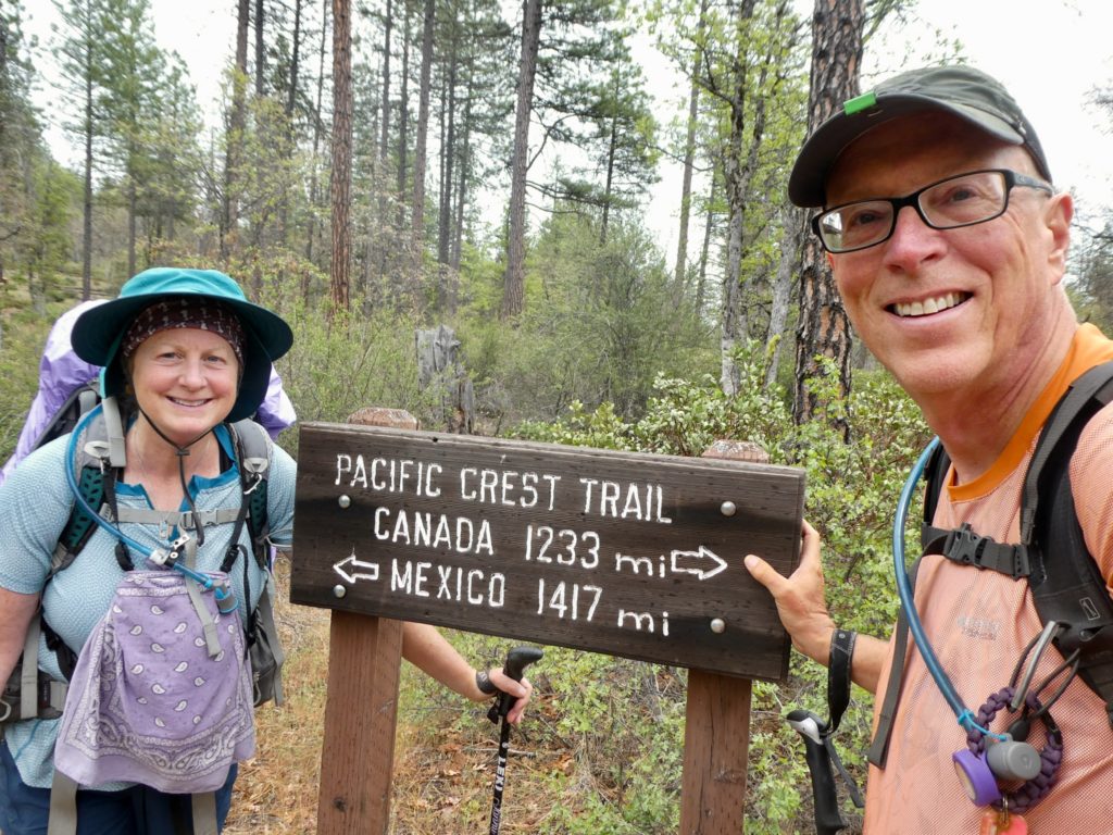
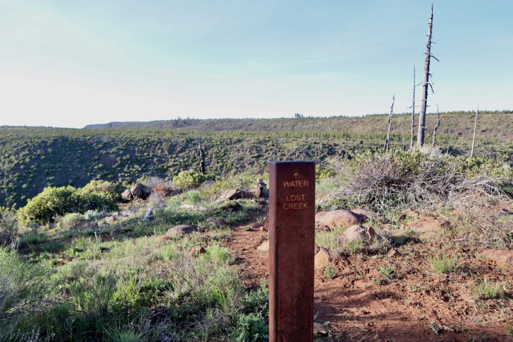
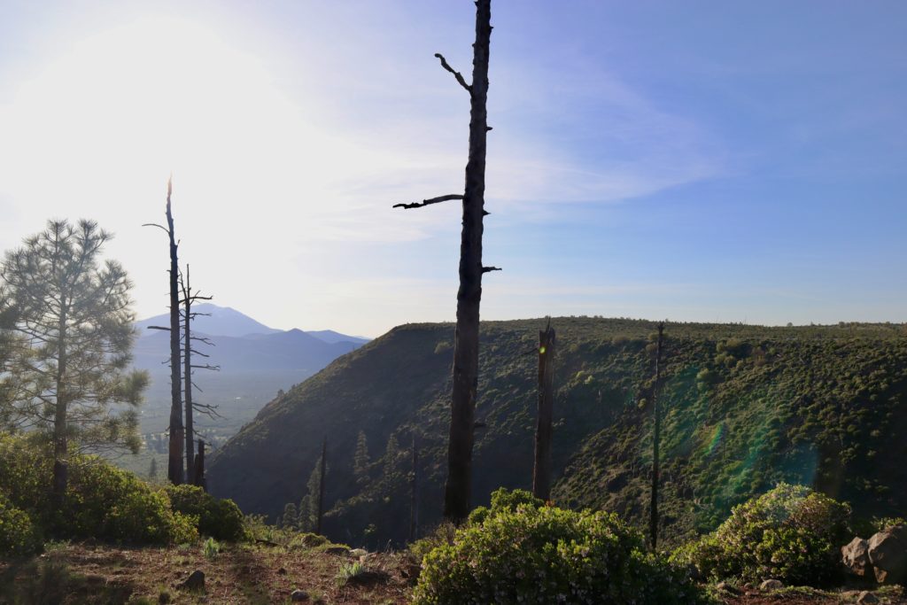
Day 91, Thursday, May 23. TM 1449.4—(10.4 miles)

By whatever definition you care to use, today was an epic fail at 10 before 10. It was a nice enough looking morning, but, after talking with Trash Can, Store Brand, and Birthday Girl last night, we decided we were only going to hike six and a half miles. This would put us at the start of the 20 mile long section of snow which they said was miserable. We had talked about it and decided an 18 mile day would just be too much for us in the snow. It wasn’t difficult to talk Bunny into sleeping in.
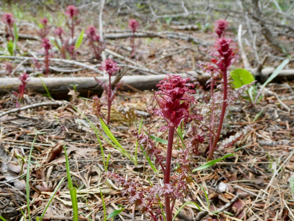
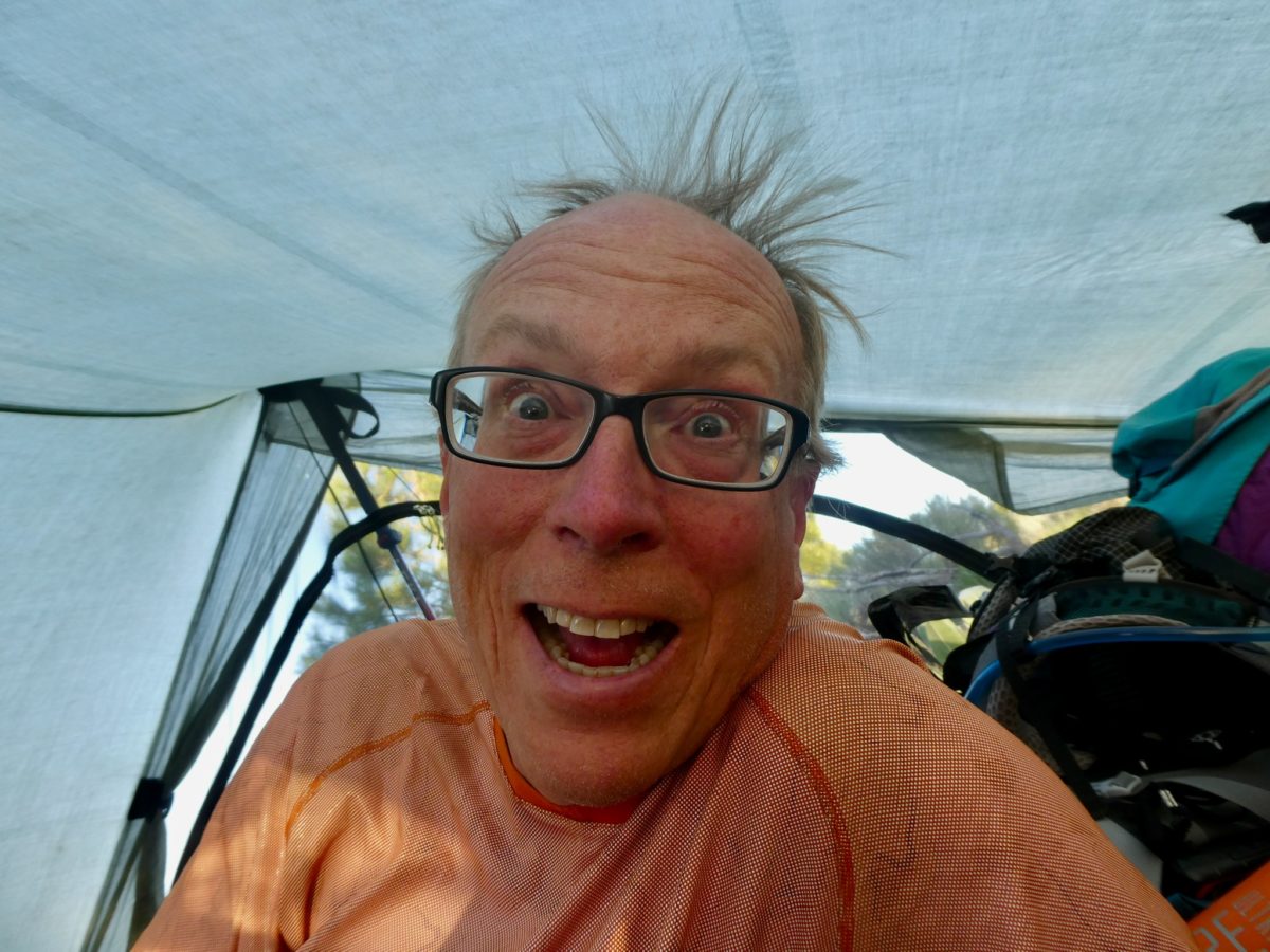
We didn’t recognize this one emerging

The leisurely start, which seems to have become our norm of late, allowed us to completely dry the tent. We had started to cook away from the tent last night, but then it started to rain. Bear bags went away and tent cooking stayed for yet another day. I’m counting on bear skittishness more than I should. I can count the number of times on both hands that we didn’t hang bags last year. Most of those times we weren’t the least bit concerned because we stowed our food by Bear and Sassy’s tent knowing Bear got a bye from his namesakes.
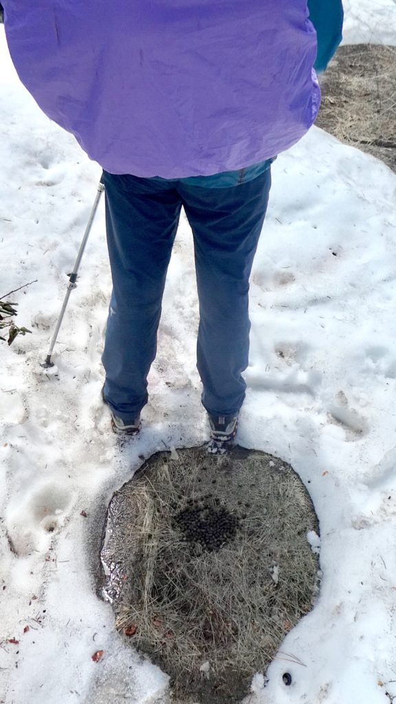
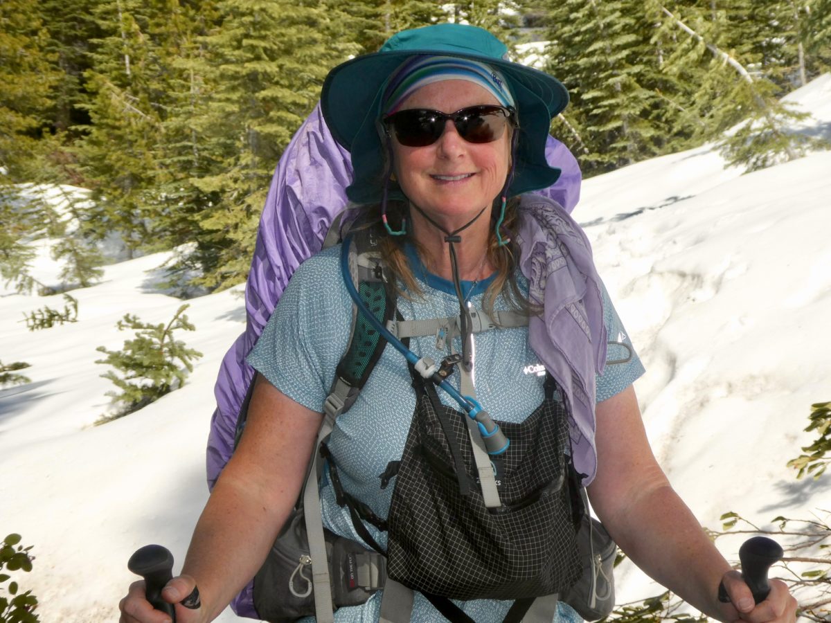
The real reason Bunny Tracks got her name

Even with the late start, we were near the start of the snow packed trail before 1. We were both feeling well and were confident that we could easily find a place to camp that wasn’t snow covered, so we decided to push on another couple of hours. We saw people’s tracks in the trail leading to the shady side of the mountain. Consulting the map, we decided that if we followed the tracks, we would be committed to over four miles of snowy hell before the trail intersected the road again. Knowing what was ahead, we decided to follow the road and break trail if we needed. The road was completely clear at this point.
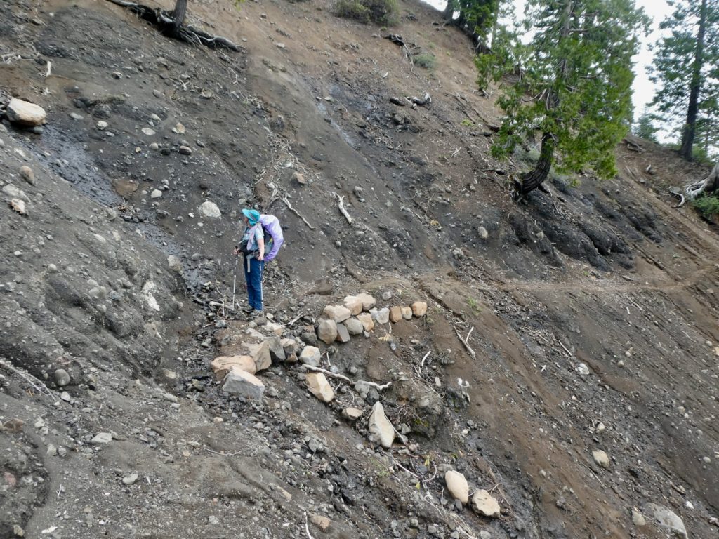
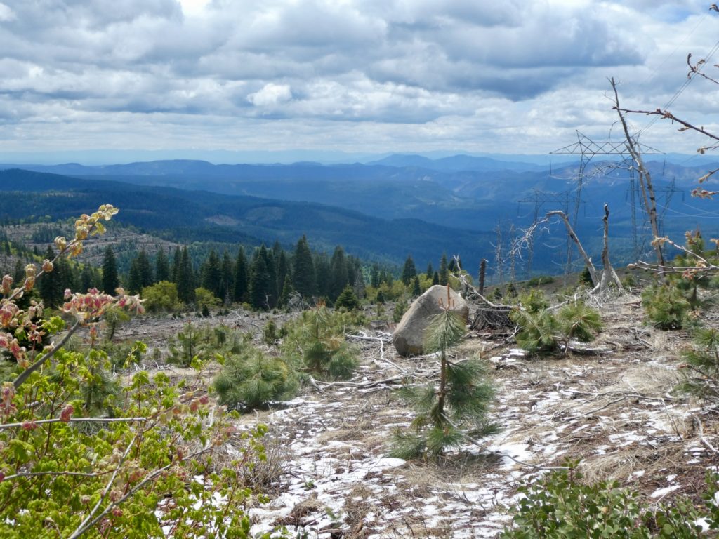
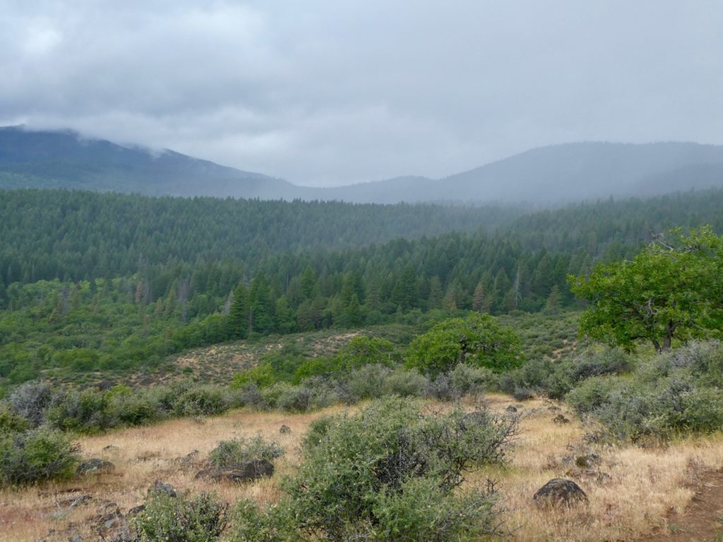
Southern facing slopes are our favorite

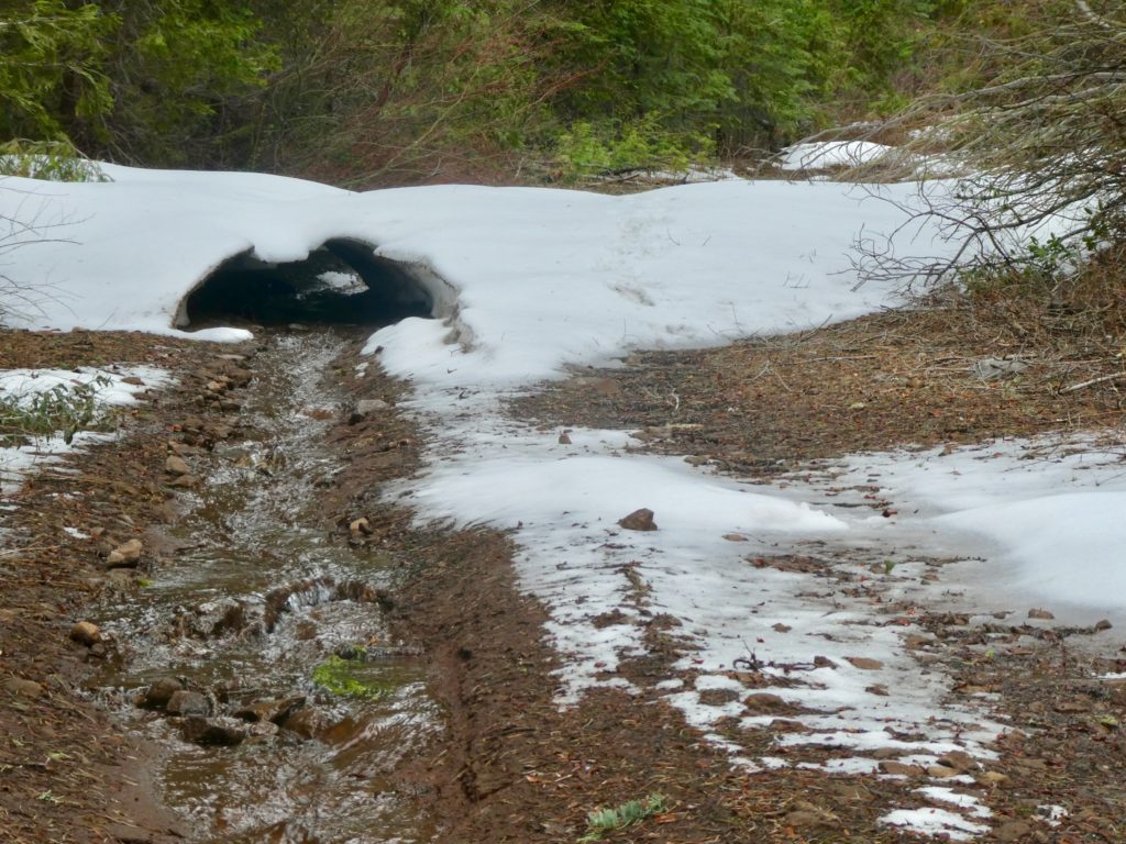
We gambled and lost. We may have gotten a half mile of clear road before we got into virgin snow 6-8’ deep. Since we were on a “road”, theory says it should be easy to follow even if it was snow covered. The higher we went, the deeper the snow got, and the harder it was to find the path of the road. I could take about 10 steps before I’d have to consult Guthook to see if we were still on the road. There were so many downed trees to climb over which didn’t help any. 45 minutes of work had gotten us less than a half mile higher up. We just gave up and returned to the broken trail behind us.
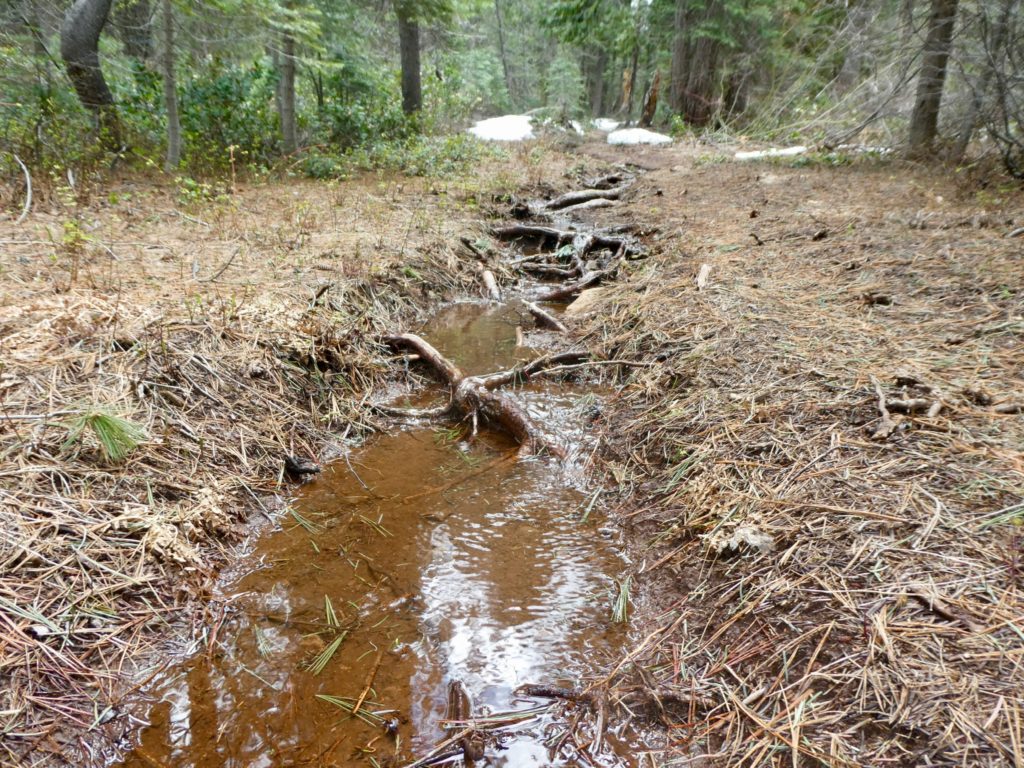
Vermont or California?

If we had been smart, we would have stopped when we returned to the broken trail and had some clear, snow-free space to put up our tent. Normally, Bunny is uber-cautious, but it was early and she was confident. I figured, if Bunny’s not even afraid, we’ll be fine since 95% of the time when Bunny IS afraid, we’re not even remotely in danger. Little did I know that snow throws off her caution-meter.
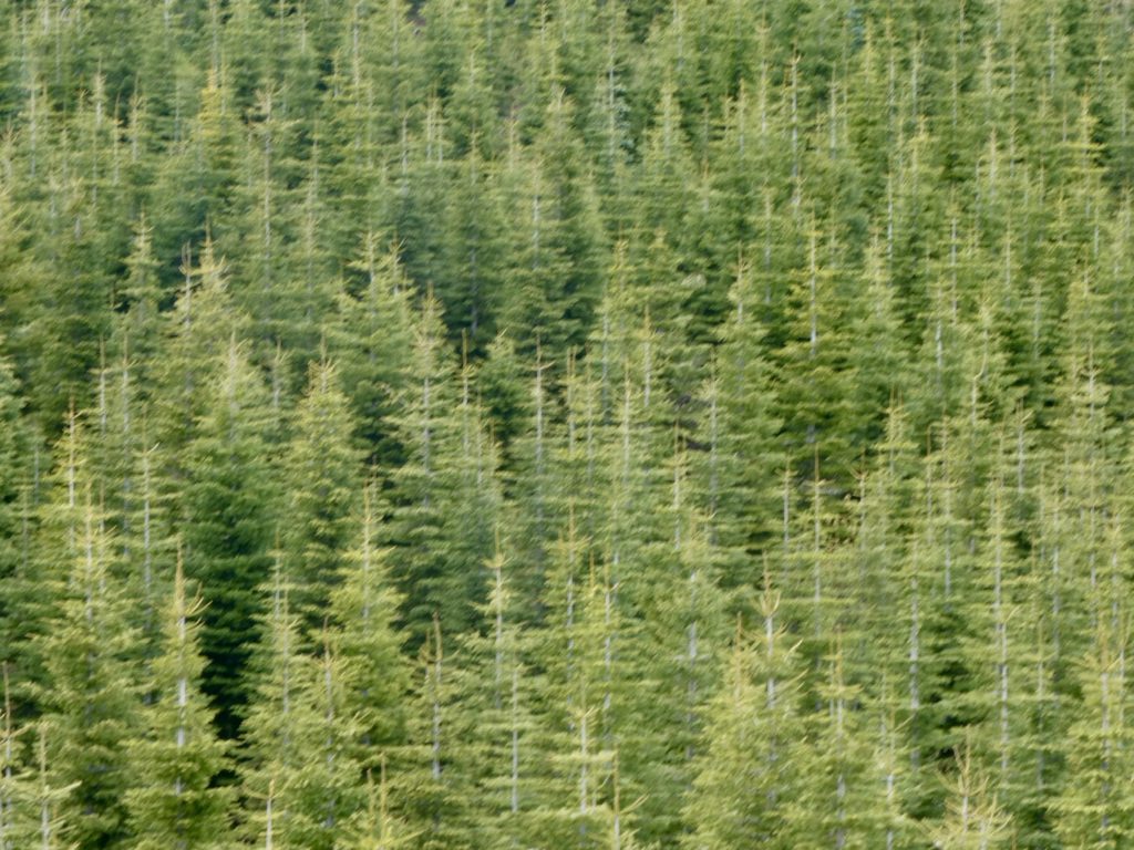
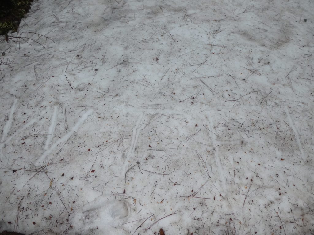
This messed with my eyes…everything seemed to be in motion

The trail lead right into the shady side of the mountain into the deepest snow we had covered yet. I occasionally used Guthook and verified we were still on the trail, especially after a steep section of trail, but we were always dead on. As we got close to Moosehead Creek (where we thought we were going to stop for the day), we lost the trail. The footsteps just disappeared. We were less than 0.1 mile away. We searched and searched, but couldn’t find the footsteps we were following and Guthook just completely spazzed out on us. It was bouncing all around saying we were to the left of the trail, then bounce to the right and back again. We weren’t moving and it couldn’t get a lock on our position. I started freaking out.
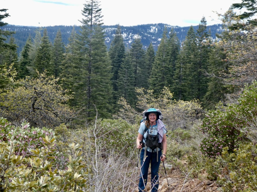
False optimism with all the snow ahead

We tried pushing on to Moosehead Creek and breaking our own trail thinking we’d catch back up with the steps. We couldn’t see any place the trail might even run because the terrain got so steep. There were so many “tree-wells” that we couldn’t even walk around without sliding down into them. I really started to panic now. Bunny actually tried to calm me down now rather than egg me on. When she got me calm, we decided to return to the last place we could see the steps. If this didn’t work, we’d have no choice but turn around and head back to Burney.
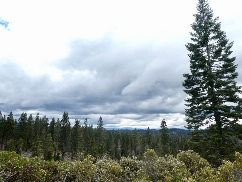
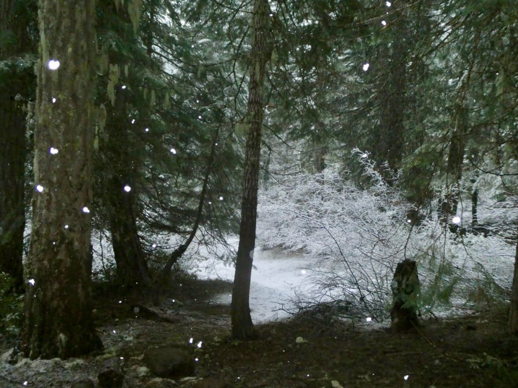
The clouds started getting dark as soon as we started climbing on the snow

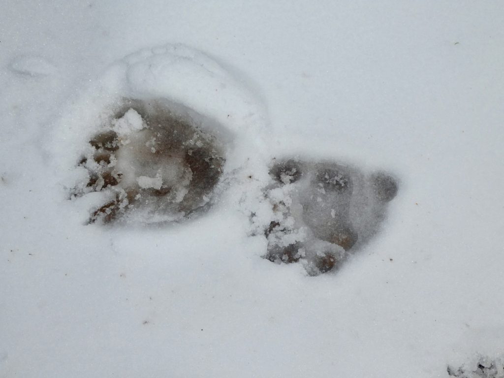
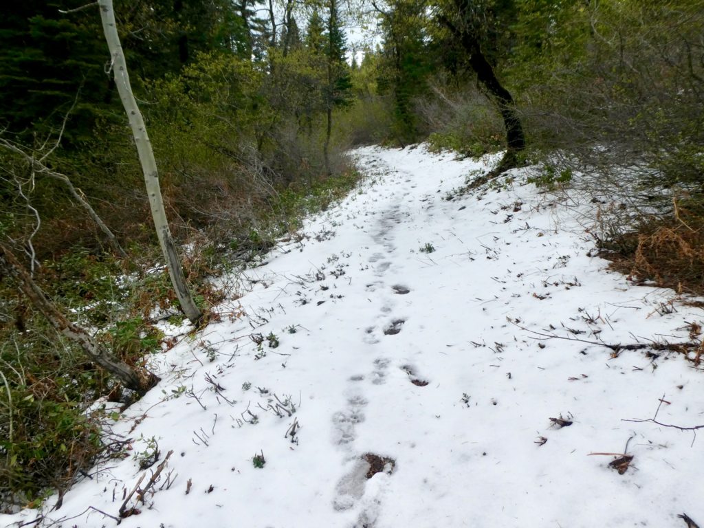
The tracks had ended in a clump of trees. I searched all around and found the trail turned back and up. It was when I found this that I remembered the trio talking and telling us there was one section that went up steeply and might be hard to find. I felt relieved to be back on broken trail…until I noticed huge bear tracks following in the same footsteps. I did my best to step on every bear track so Bunny wouldn’t see them and panic. I was calmer now, but not calm enough to calm her down if she started getting into a panic.
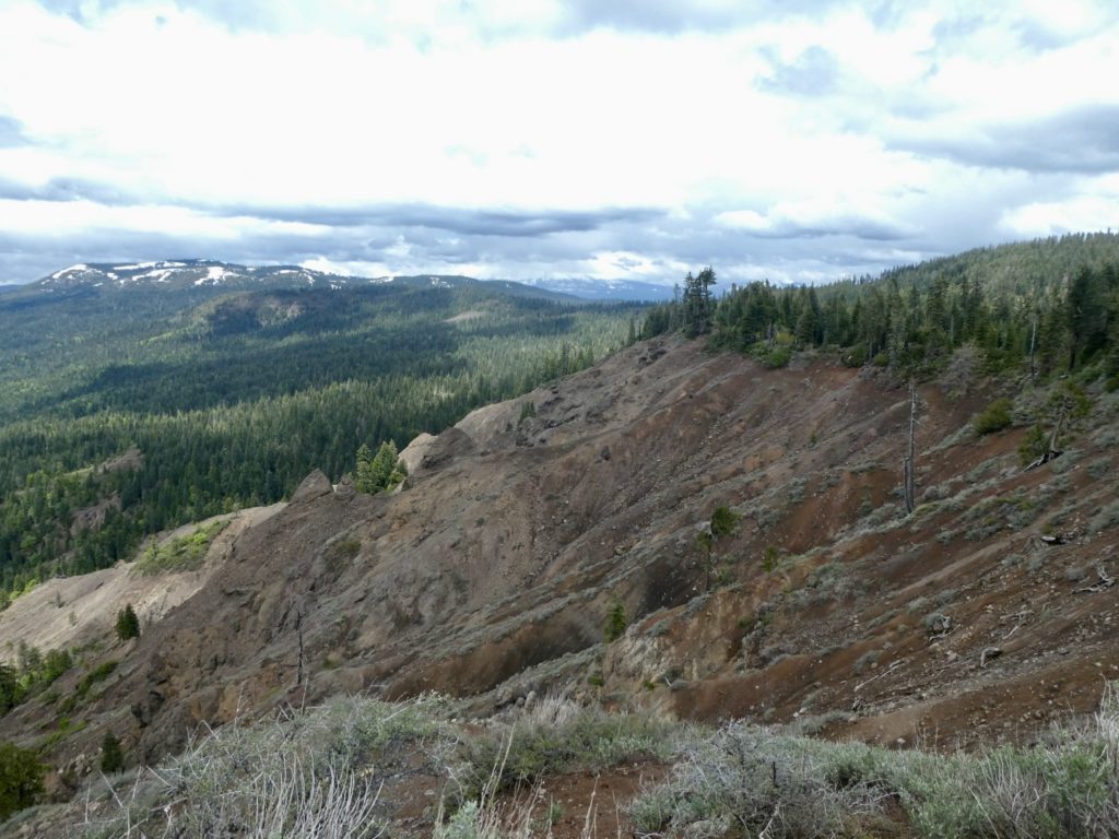
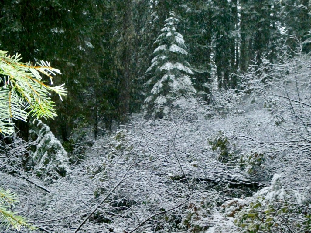
It looks like an avalanche zone to me

The trail led up to the road we had tried to break trail on earlier. When we got up top, I saw the bear tracks turn the opposite direction that we were headed, so I went ahead and told Bunny. She was already in “keep Easy calm” mode, so she didn’t react at all. That turned out to be great, because Easy started to panic once again. This time, for reasons other than trail or bear. I was worried about even finding a place to camp. The snow was way over 8’ deep everywhere. From our experience on the AT last year, with the gear we have, I know we won’t be able to get or stay warm camping on deep snow. We are using a ZPacks tent which is not free-standing and our Big Agnes sleeping pads just downright suck in the cold (even though they claim to be insulated).
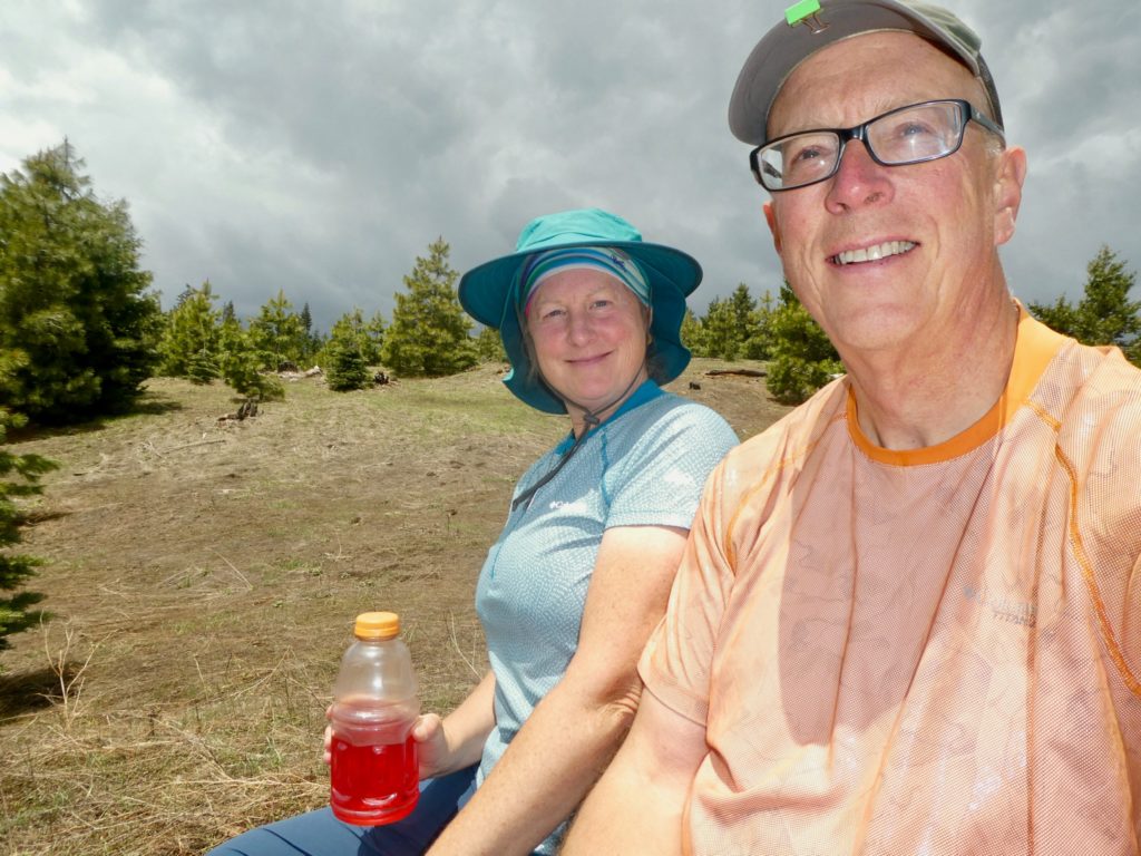
We made it to the snow too early to stop

It was now too late to make the cabin before dark. I can’t feel my feet because they are so cold and wet. We can’t set up the tent in all this snow. If we do find a way to set up the tent, the sleeping pads suck and we’ll freeze. If anything happens to Bunny, I’ll be blamed by everyone. I discovered, I’m not ready to die for the sake of hiking the PCT. I discovered a very useful secret for dealing with Bunny in grave situations…sink first and sink fast and Bunny will stay calm.
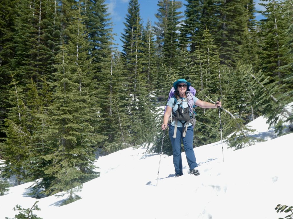
Not too bad yet

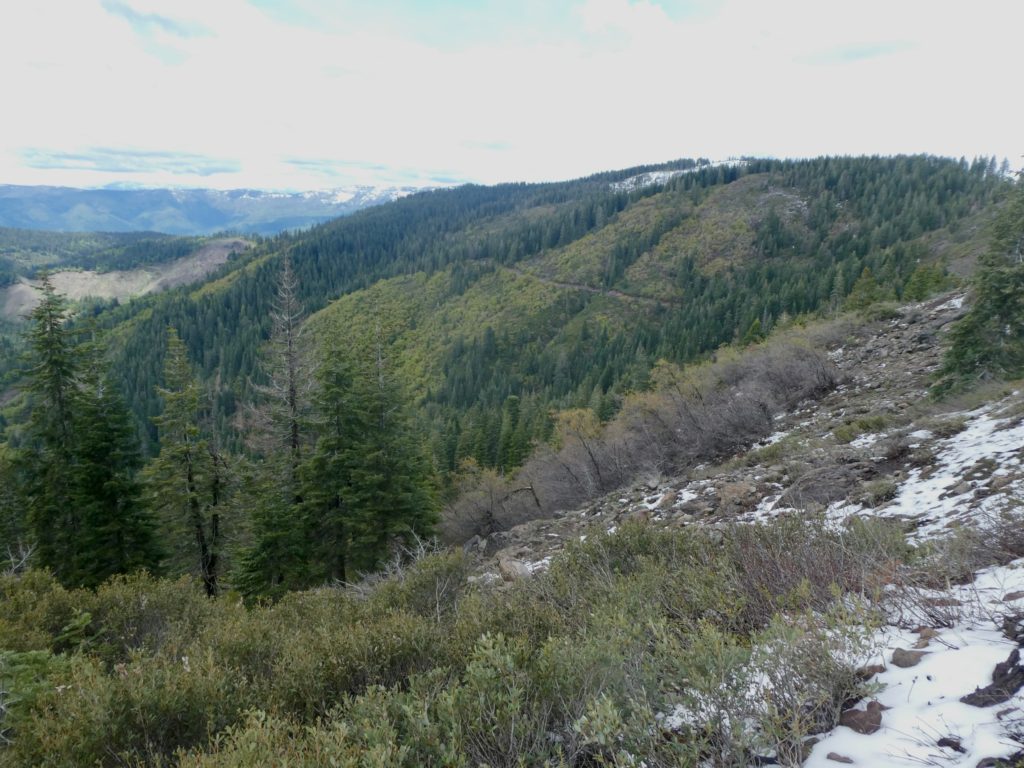
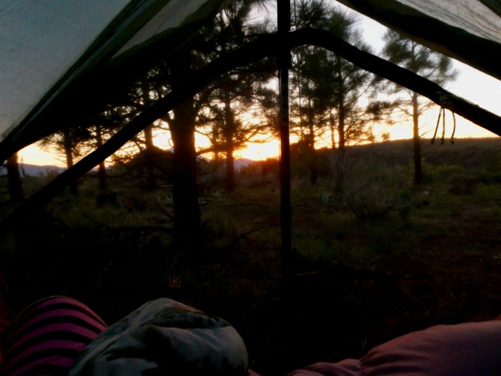
Bunny stayed optimistic that we’d be able to find a spot to set up the tent. When we got to the top of the ridge we were ascending, we found some exposed rocks right on the trail. We were able to clear the spot enough that our tent would fit. There just wasn’t enough energy in either of us to make it to the cabin. We were a bit exposed sitting on top of bare rock at 6050’ with no trees or shrubs around. The sky to the north of us looked dark and ominous, but we had no choice. I piled the rocks on the corners and guide line lines hoping that we’d stay standing even in a strong wind. When we had tried this in France a couple years ago, we had failed miserably at keeping the tent up.
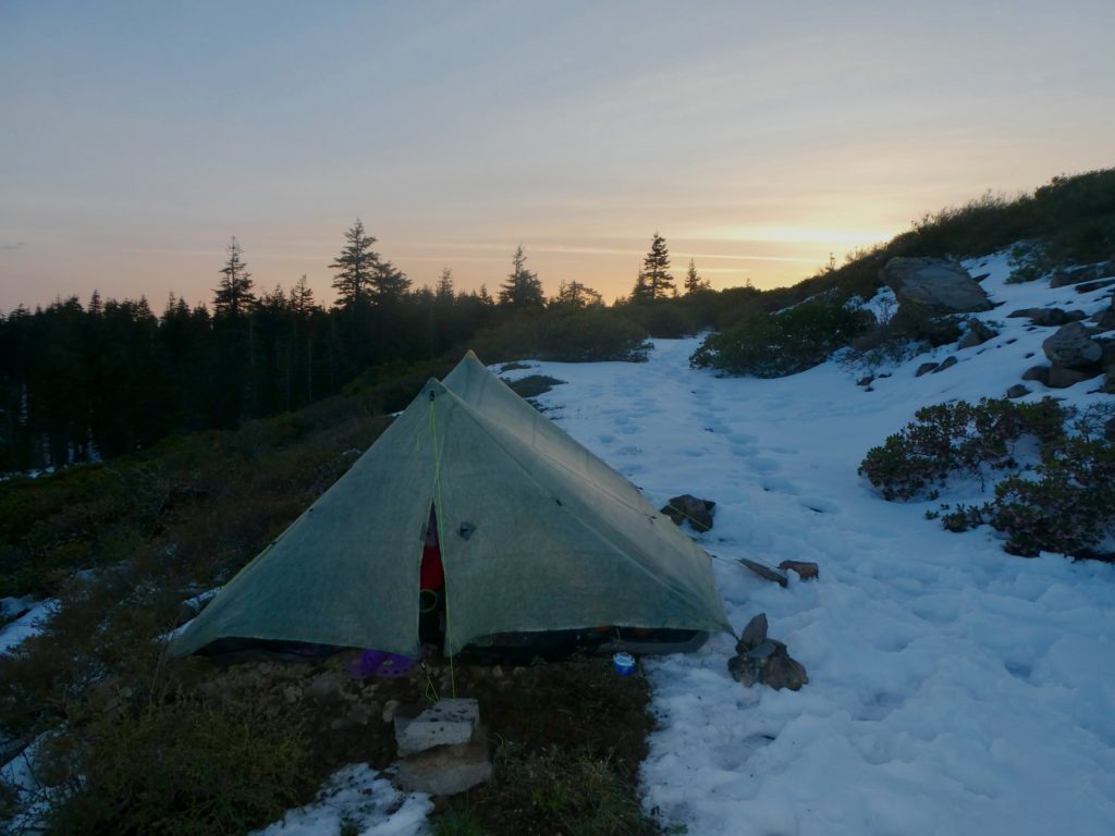
We camped right on the trail when we found some clear rocks

Bunny got in and started arranging our gear. We combined all the water we were carrying and discovered we had less than 1/2 liter between us. I got back out and melted enough snow that we could have hot tea and each have a hot water bottle to warm up with. I even melted water so we could have coffee in the morning if we survived the night. Bears be damned, we ate in the tent. Being mauled by a bear did sound warming.

EFG
Day 90, Wednesday, May 22. TM 1439.0—(6.3 miles)

I have a new company to hate. GE and Big Agnes keep moving on down the list. Who is the latest satan incarnate? PG&E. They put the final nail in their coffin this morning before we even woke up. It wasn’t bad enough that they started the Camp Fire last year that burned 3 towns to the ground (including Paradise) and then declared bankruptcy rather than pay for the mess they made. At the very least, every member of the executive committee should serve prison time. At best, they should hang from their balls and allow all the former home owners to come by and give them a spin. The forest fires were distant and non-personal to me. Today, PG&E made it personal. There was a large group staying at the hotel with us. They got up early and took every breakfast burrito in the place. Some guys were taking 3 for themselves. The limit is one per person. They crossed the line.

Jessica (from the hotel and not to be confused with Jessica Rabbit) had already agreed to take us back to the trail at 10. Thanks to the PG&E hacks, I had to make an unscheduled trip to McDonalds for breakfast, but we were ready with time to spare. We even got to watch a little “Let’s Make a Deal.” I used Guthook to direct us as close to where we jumped off the trail the other day. Jessica was a trooper and took us almost all the way back to where we camped last. We only had 4-5 miles of easy road walking to get back on trail once she dropped us off.

Just getting back to where we left a few days ago. More snow than we’d like to see.

There was a little bit of snow along the road as we got nearer to 4800’ elevation. Once we got back on trail, there were huge patches of snow, but it was melting fast. We probably won’t even carry water tomorrow because of all the snow melt. We crossed to the north side of the mountain and ran into continuous snow above 5000’. I was okay with the snow until the sky grew dark and then my mood grew dark. It was not even 3 and it looked like late evening. We were about to get nailed by rain.

Dark skies promising rain soon

We dropped our packs to put on the rain covers and our rain coats. I was looking at the sky and begging to not get rained on. Miraculously, the clouds split in two with one dark storm arm going to our right and the other to our left. We dodged a bullet with that one. By now, my right foot was numb from walking through all the wet snow. I could feel water squishing in my boots. The last thing we needed was to get soaked beyond our feet with over 60 miles to go to make it to Mount Shasta.

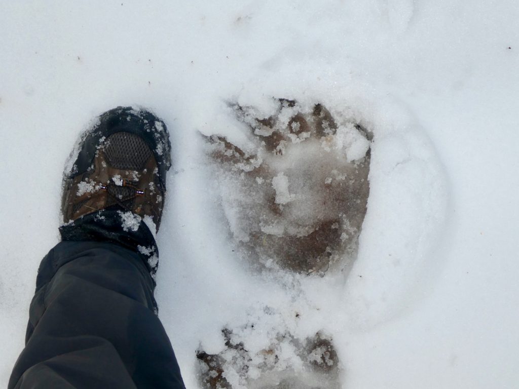
Bunny and I were noticing all the animal tracks in the snow. I told her I was feeling very relieved that there weren’t any large predator tracks around. She asked me if I thought we needed to worry about bears yet. The temperatures are still projected to be in the 30s at night and we’re walking through snow covering everything. In most places once we got above 5000’ the snow was a good 2 foot deep. I told her we didn’t have anything to worry about from bears. No sooner had I spoken the words than a bear appeared in front of us on the trail. Our talking spooked him and he took off running.

We spooked him more than he spooked us

The bear also spooked a rabbit in the trail. A rabbit by the name of Bunny hiking just behind me. If it’s not the snakes that put me in the lead, it’s the bears. The encounter was so fast that we didn’t even have a chance to pull out our cameras. When we got up to where the bear had been, we could clearly see where he had come from and where he was heading. We tried to catch another glimpse of him, but he was long gone.

I’m thankful he ran after seeing how big his prints are compared to my size 13s

The snow was really beyond my comfort level. I was hoping that the melt was progressing a bit faster than what it is. Fortunately, we aren’t having to break trail. I would probably have turned back if that were the case. We did notice that at least one person ahead of us had worn snow shoes. I made up my mind that if we make it to Mount Shasta, I am not going to leave town without snow shoes because the trail will be much worse in that section. We’ll have to climb well over 7000’ and I’m uncomfortable with the snow pack down here under 6000’.

We decided to cut our planned miles down because of the slower pace in the snow. We got to an intersection of the trail and a dirt road and I was ready to stop even though it was only 4:30ish. Bunny was willing to push on a couple more miles, but I was afraid we might not find another snow-free section to set our tent on. Plus, I was afraid that our luck with the rain might not hold and I wasn’t wanting to set up camp in the rain. It had misted on us, on and off, for the last couple of miles. We just can’t afford to get completely soaked again with another 60 miles of snowy trail between us and Mount Shasta.

This is about as much snow as we are truly comfortable with

We were slightly spooked from the bear sighting today. It had only been a few miles back, so we decided we were going to start being more Bear cautious. No more cooking and eating in the tent. I took everything we needed to make supper to a spot across the road well away from our tent. No sooner had we started cooking than it started raining again. This time, much heavier. We quickly carted everything back across the road and into our tent where I finished cooking supper.

We can see plenty more snow ahead

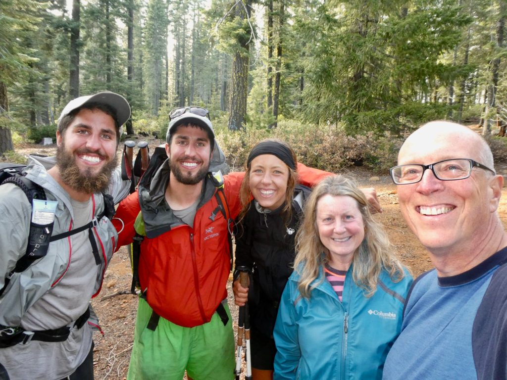
While we were waiting for supper to steep, we heard voices outside our tent. The rain had stopped so I was willing to get out and investigate this phenomenon of other people on the trail. I recognized them from their pictures on Facebook. This was Trash Can, Store Brand, and Birthday Girl who had flipped up to Ashland, OR and we’re heading back south. I hopefully asked about snow conditions ahead. Sadly, I didn’t get the answers I wanted. They had done a lot of road walking to make it this far. In fact, they had considered bailing just yesterday when they got caught in a snow storm on Grizzly Mountain.

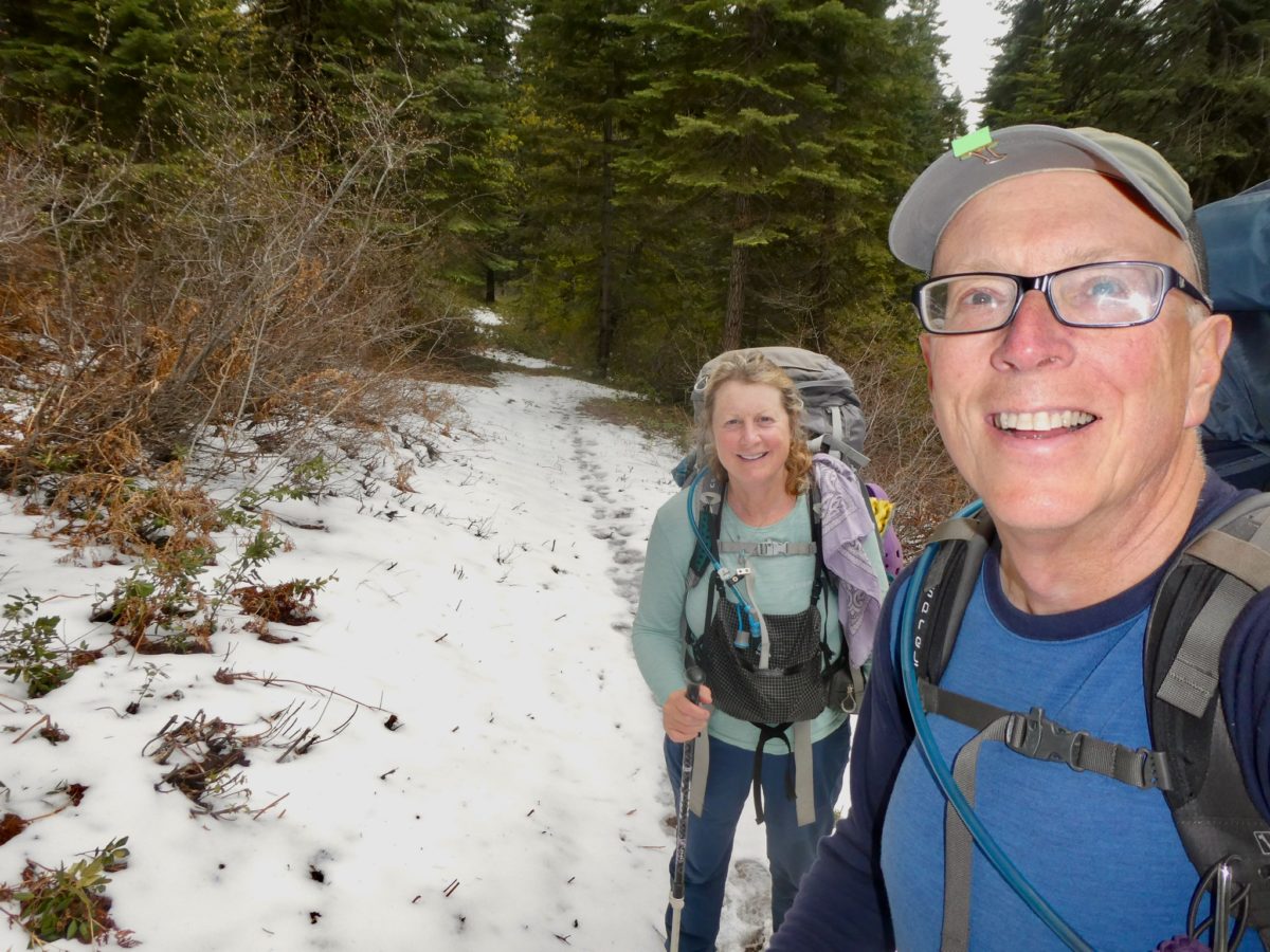
We were glad to see other people on the trail—Trash Can and Store Brand (twins from Minnesota) hiking with Birthday Girl

They did give us good intel on the trail ahead. We know we’ve got a good 6+ mile section of snow free trail before we get to the 20 miles of snow hell. They told us about an abandoned cabin they stayed in last night and dropped a pin on our map for us so we can hopefully make it there tomorrow night. It’s about 18 miles for us with the final 12 all being in deep snow. Still, it gives us a goal for tomorrow with the reward of getting out of the snow. They decided to push on another mile or two before stopping for the night. They’re headed into a Burney tomorrow night.

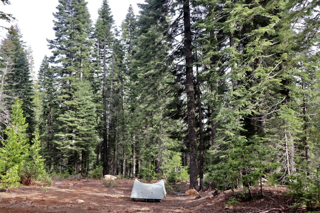
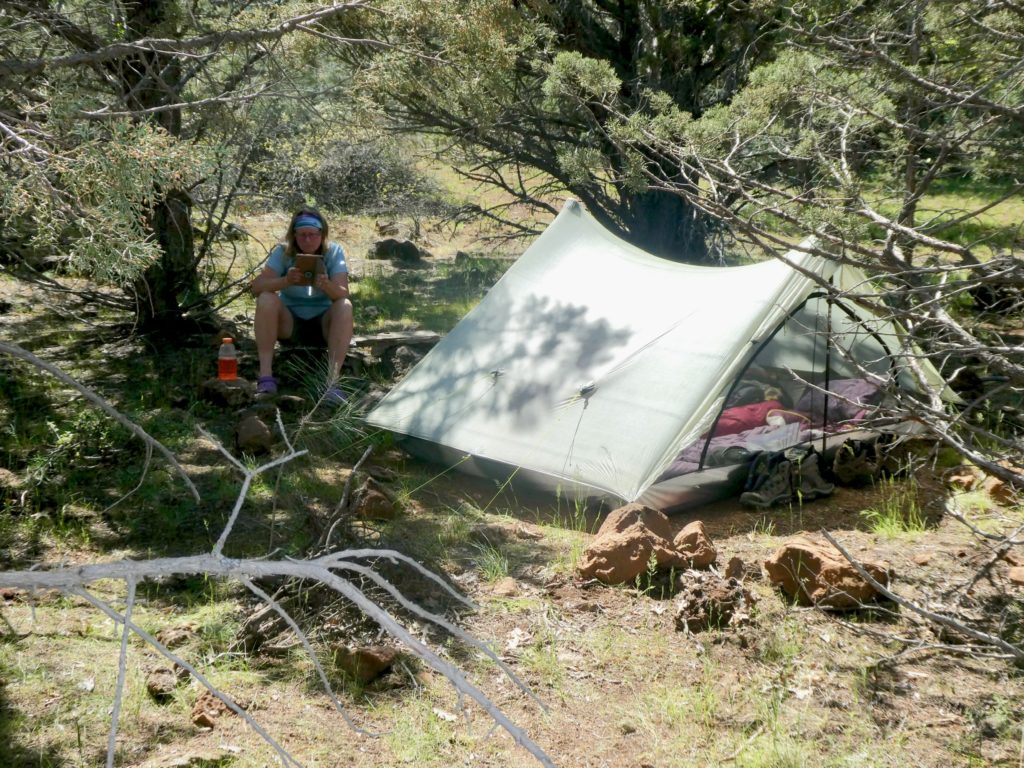
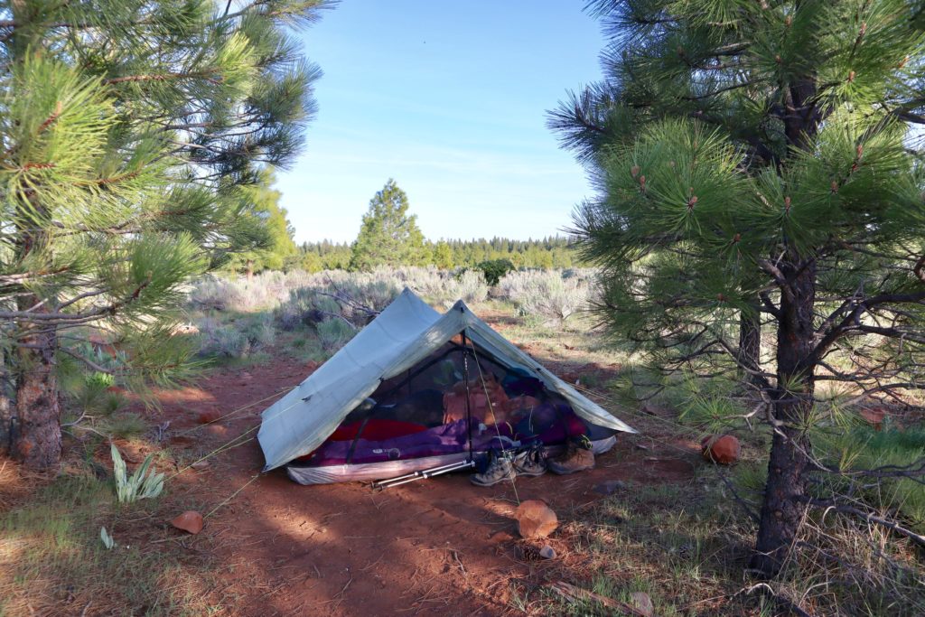
Our tent nestled in a clear spot near the trail

As for being more bear cautious, that will have to wait another couple of days. I’ve taken the precaution of wrapping my dirty clothes around the bear bags. As an extra precaution, I let Bunny keep her pee rag on top of all her stuff. Maybe it might help, but I’m not counting on the same protection we could expect after 5 days out. We just did laundry in town.

EFG
Days 85-89, Friday-Tuesday, May 17-21. Burney—(Quintuple Zero)

First off, I need to wish my parents a Happy 67th Anniversary. Like Brooks in the Shawshank Redemption, they have become institutionalized. They’ve been in for so long, they don’t know what it’s like on the outside anymore. In today’s world, not too many make this milestone. I’m proud of them and love them both. Happy Anniversary, Mom and Dad.

Now back to the trail. I kept getting up periodically through the night for reasons beyond my control. The snow eventually turned to rain and the steady sound of rain hitting the tent constituted an old man uncontrollable reason to urinate. Actually, the sound of the rain punctuated by gun shots which were, in reality, huge blobs of snow falling out of the tree on to our very taut tent. The snow accumulated to well over 6” blocking all signs of the trail.

By morning, the rain had melted the snow back down to about 4” but we had already made up our minds. If we had been carrying more food and fuel, we might have considered pushing on. We were nearly out of fuel (the General Store at Burney Falls doesn’t carry fuel and we were planning to buy some there). I checked the maps and found a road route back to the dam. When I say road route, that turned out to be inaccurate as several of the roads were overgrown or just washed out entirely.

Throughout the night, we had heard thunder. As we were walking out, we discovered several mud slides and fallen trees very near to us. These could have provided the rumbling sounds we heard which makes more sense than thunder. Once we passed below 4000’, the snow all but disappeared. We were going to be begging for a hitch claiming we were snowed out and soaked when there was no evidence of any bad weather at all.

After about 8 miles of walking, we finally got to some roads that looked like they actually could support traffic. Could support, but not while we were walking down them. We finally made it back to an area we recognized as running above the PCT.  We could look down and see the trail to determine exactly where we were. We could jump back on the trail and in 5.4 miles be back at the dam, or continue on the road for another 2 miles just past a mineral plant and hope for a hitch. It was only 2 which would put us at the plant around 3…shift change.

We walked past the turn to the plant at ten before three. Now all we had to do was stick out our thumbs and look pitiful. A string of cars passed us without anyone even acting like they might slow down. It was all quiet again. We made it to the dam road without hope. We’d have to go back to Burney Falls and try to yogi a ride there. One more truck came up behind us and asked if we were ok. We told him we were trying to get into Burney because of snow. Douglas was the plant manager of the diatomaceous earth plant we had passed and he lives in Burney. He agreed to give us a ride into town as long as we called him a trail angel. A horse by any other name is a horse. Trail angel it is because that’s what he was for us.

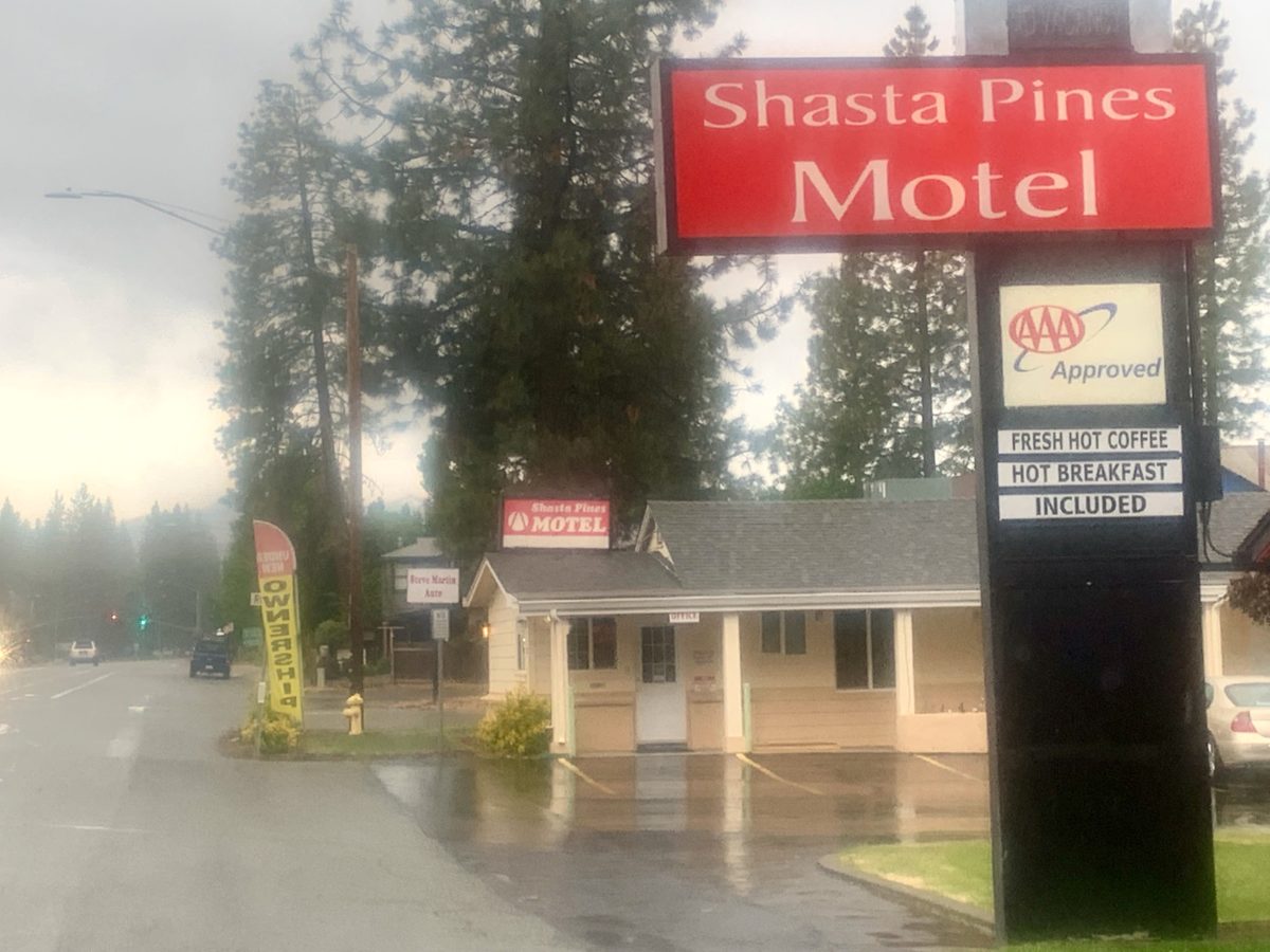
Douglas dropped us off at Shasta Pines Motel right in the heart of town. It’s not a big heart because it’s not a big town, but it would turn out to be our home for the next 5 nights once we checked the weather reports for the area we were hiking through. We decided to go back out Wednesday morning because it was the first day that didn’t have snow in the forecast.

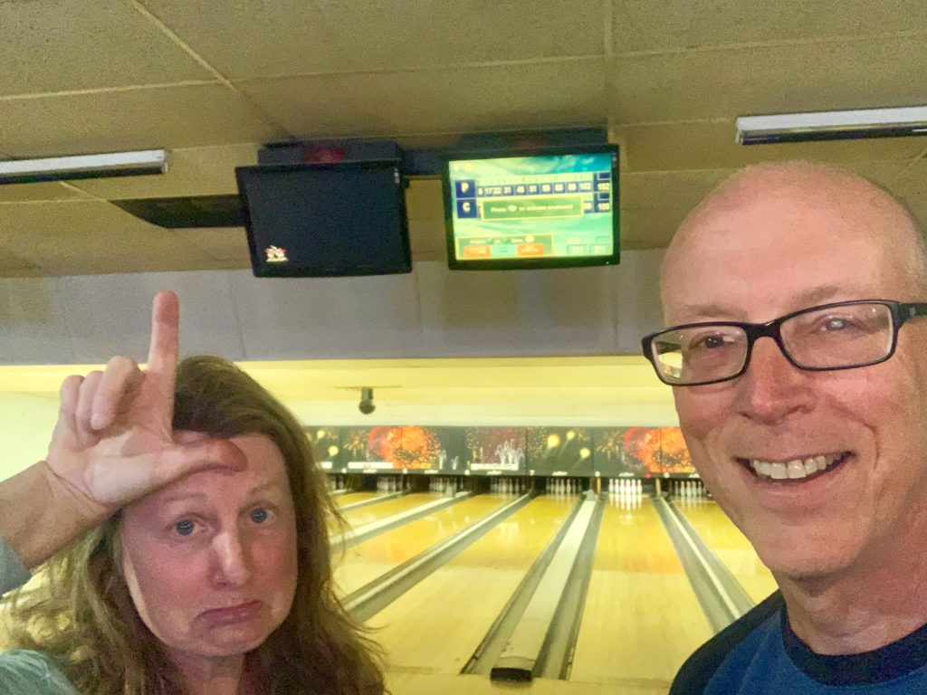
We did all the usual town stuff—laundry, resupply, eat, shower, and eat some more. We got so bored with being stuck in our room watching TV that we decided we needed some outside activities. The only option available to us was bowling. Bunny claimed that she used to be on a children’s league and then a couple’s league with her first husband. I asked with all this experience, why does she suck so bad at the game. I had pity on her and didn’t put any effort into the third game so she could win one.

Over the course of 5 days, we ate at every restaurant in town (all 5 of them, 6 if you include McDonalds). We filled out our application for Entry in Canada (like the snow is ever going to melt enough for us to make it that far), got massages, watched TV (we missed the finale of Big Bang Theory but had to endure 2 nights of the Voice), and bowled. I was so sick of being in town that, against my better judgement, I let Bunny force me back onto the trail. I know we are probably heading out too soon, but a good husband always does as his wife pesters.

EFG
Episode 12 of our journey

Day 84, Thursday, May 16. TM 1432.7, Peavine Creek—(13.7 miles)

Major brain-fart. I’ve been misinterpreting Patches saying “10 before 10.” I thought he meant you should always start hiking no later than 10 minutes before 10. Bunny explained where I was wrong when I said “we missed it today.” It was 10:20 when we started hiking (after our second breakfast at the General Store).  All this time I thought Patches was telling me that Mizman was doing it right because he rarely starts by 10. Bunny explained that Patches means to hike 10 miles before 10a. That’s just wrong on so many levels. I’ll stick to less than 5 by 5 and be happy. 

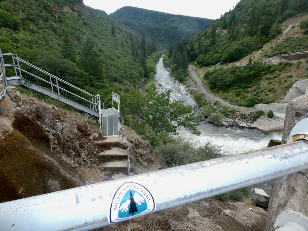
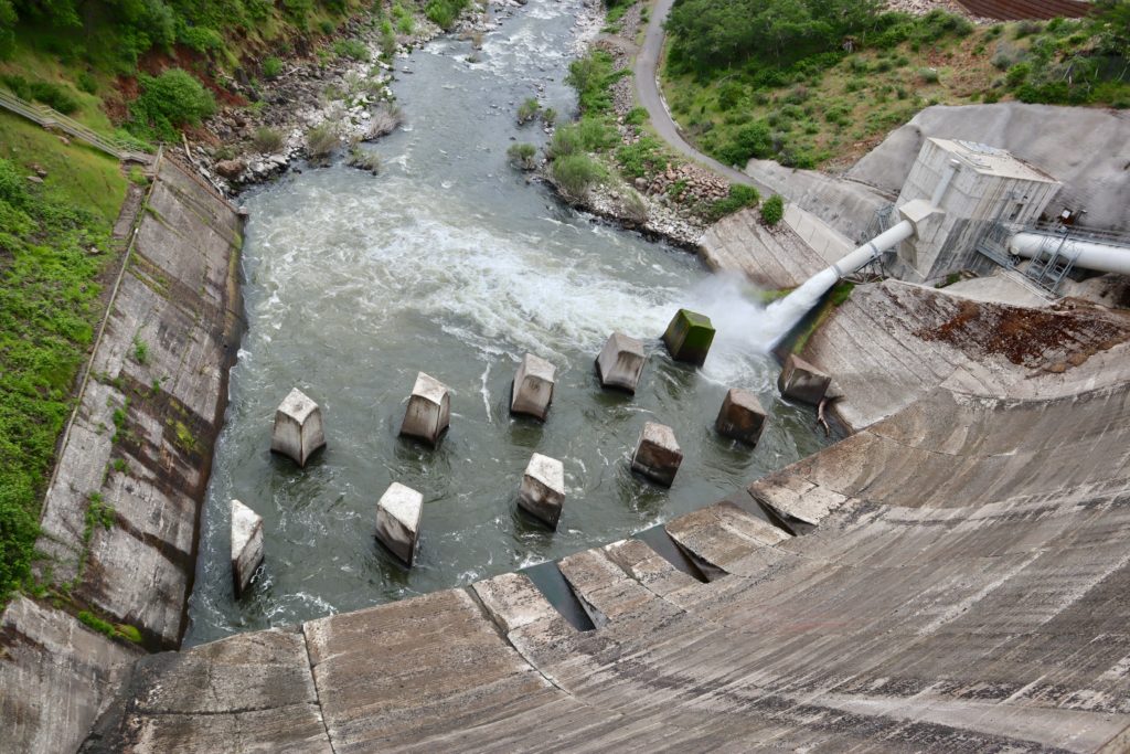
Lake Britton Dam

We were very surprised, and pleased, to wake to sunshine. The weather forecast called for two crappy days in a row followed by a decent day on Friday with another bad day on Saturday. Yesterday was misty most of the day, but really good hiking weather. Today, it started clouding up shortly after we started hiking. We could see the rain ahead of us so we knew we’d get some soon enough. We were right. It started misting by 11 and kept doing it almost all day. 

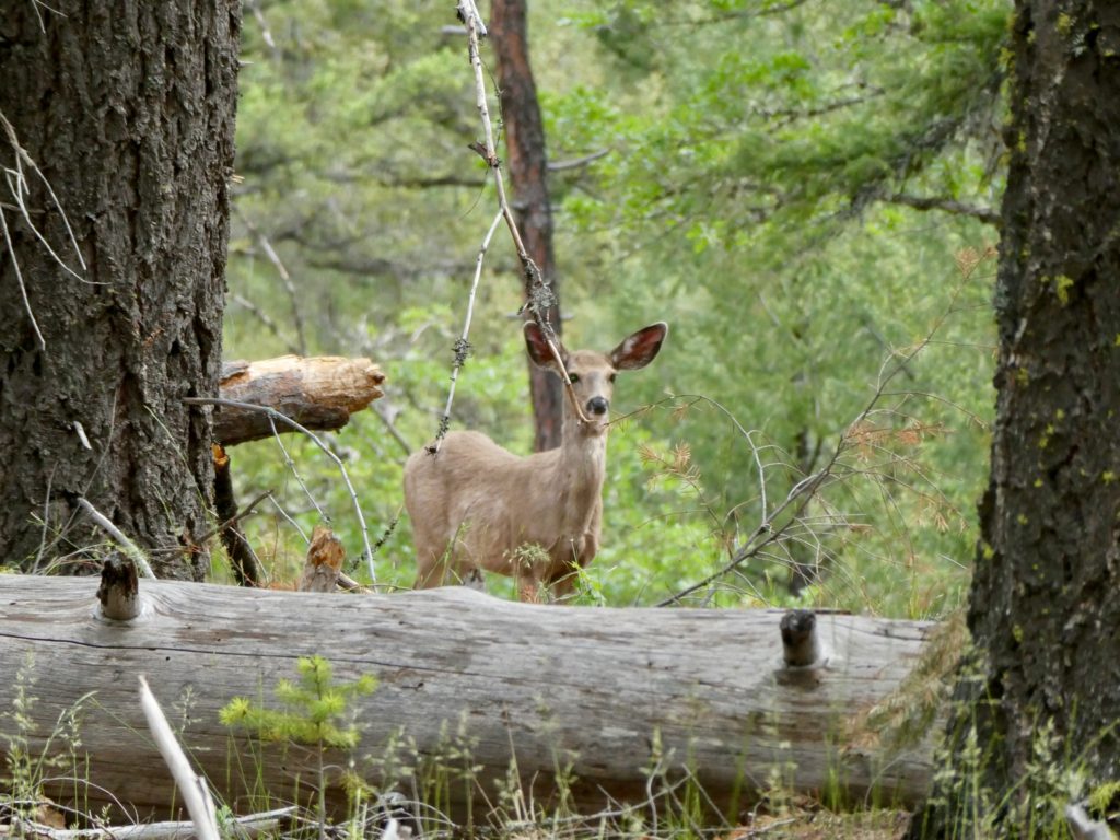
A deer keeping an eye on us near Britton Lake

Even with the light rain, today proved to be one of our favorite days on the trail. This is because we finally climbed out of desert soils into a mixed forest with actual dirt on the ground. We were walking through oaks mixed in with the Ponderosas. We even hit a couple mile stretch of blooming dogwoods. Maybe we’re finally going to get some spring weather. 

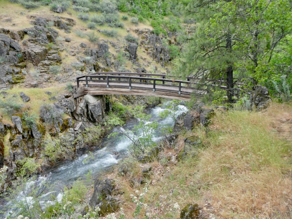
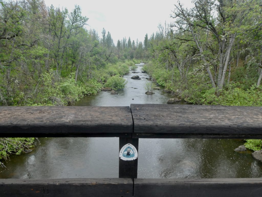
Bridge over Rock Creek

A little before 1, we stopped for a light snack and a drink by a bridge crossing Rock Creek. If we hadn’t just left Burney Falls, we would have been pretty impressed with the narrow Gorge this creek was cutting into the rock. Around 3 we stopped again for a more substantial snack. We were trying to wait for it to stop raining but could tell by then it wasn’t going to. Bunny said she had about another 5 miles left in her hips, but she hoped it would at least stop raining long enough for us to set up camp.

A deep gorge cut by Rock Creek

The trail was all uphill today. It looks like we’re going to climb up to a ridge around 5000’ and then stay up there for the next 40 miles bouncing between 4700’ and 6200’. I became very concerned when we encountered snow at 4800’ climbing up to the ridge. The campsite we were aiming for today requires us to go over 5100’ and then drop back down to 4700’. Once we started dropping, we encountered larger and larger patches of snow. Nothing too bad, but this concerns us because we have to get over 7000’ a couple of times before we make it into Oregon.

WTF, we weren’t supposed to encounter snow until we got near 6000’

Bunny got her wish. It stopped raining when we made it to the creek before our camp. We grabbed enough water for tonight and the morning before knocking out the final 0.1 miles. We found the spot right off the trail and dropped our packs. We had kept our coats on after our second snack because the temperature was dropping as we climbed. Now, we were both cold and ready to get in the tent. 

Rain ahead heading our way

No sooner did we get the tent set up and get all of our stuff inside before it started raining again. Normally, Bunny goes in first to inflate the pads while I unpack outside but it was pretty dark at only 5:15 so we both jumped in.  While we were getting our beds ready and changing out of our wet clothes, the sound of the rain beating on the tent turned more solid. The rain had turned to a mixture of sleet and hail. 

We get in the tent just in time

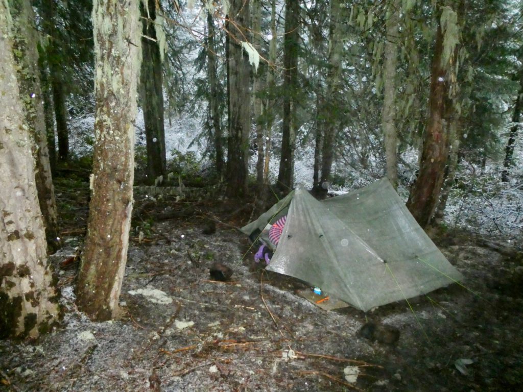
Boys and girls, one thing you really shouldn’t do in bear country is cook and eat in your tent. We’ve been doing it all along on this trail and we want to stop, but the weather won’t cooperate. I was preparing breakfast and supper (I’m an efficient multitasker) when I looked out of the vestibule because everything was looking brighter. It had turned to an all out snow. We are having a Cheryl Strayed evening with the snow coming down. Maybe we’ll get to see a fox in the morning when we wake up. 

We’re only at 4700’. The snow isn’t supposed to drop below 6000’

As of the writing of this entry, what we thought was going to be a light dusting has turned into a full snow. It’s been snowing for over 2 hours. Everything is white outside now. We’re hoping tomorrow warms up enough that we can proceed forward as the (so far) 2” of fresh snow melts. We will have some decisions to make if it continues to snow all night. I’ve checked for possible exit routes from the mountains as well as considering the option of turning back. We’re too deep in the woods to see any of the mountains around us to see how much snow they have gotten. Burney Mountain was our barometer up until now. 

We need to rethink our plans

If you’re reading this online, everything turned out just fine. If someone is reading this on my iPad mini, know that I told my wife I wanted to spend a few more days at Burney Mountain Guest Ranch where we had beds, WiFi, flushing toilets, and a Great Pyrenees to keep us warm. I’m sure that if this is the latter case, please check my wife’s hand. No doubt, you will find the middle finger raised and frozen in position. She always refuses to admit it when I am right. 

EFG
Day 83, Wednesday, May 15. TM 1419.0, Burney Falls State Park—(9.3 miles)

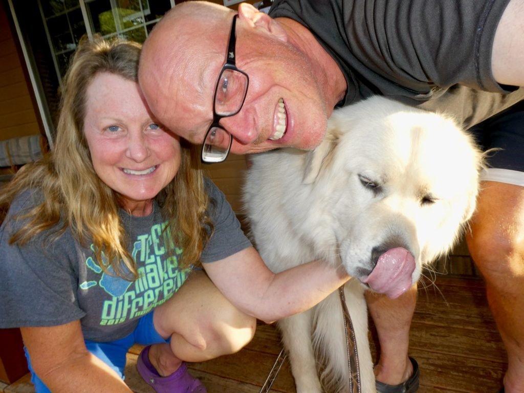
In the end, we pulled another play from Mizman’s book and didn’t hit the trail until after 10, this morning. Linda made biscuits and gravy from scratch so we’d have a “stick to our ribs” breakfast that will last for the day. There was a furry Great Pyrenees on the porch that was willing to cuddle with me and give me those big, sad eyes. It was drizzling, and had been since 7. But, as I’ve said before, I have a mean wife who demanded that I carry her food and tent. She was ready to go. 

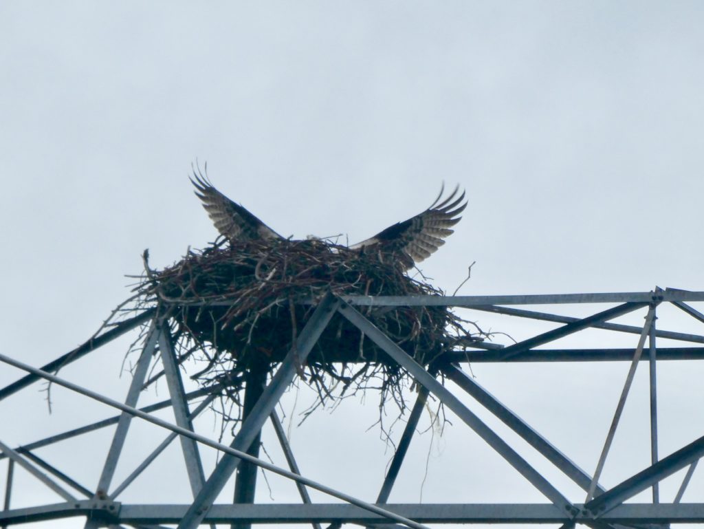
Osprey nesting on top of power lines just outside of Burney Mountain Guest Ranch

In spite of the drizzle, it was an easy day of hiking. We had fully planned on going about 16 miles today, and we were making great time—almost 3 mph. We met a couple of sobos that were thru-hiking. Finder and Saunter had hiked the entire desert section and jumped up to Mount Shasta/Dunsmuir a few days ago. They told us that we would, in fact, encounter about a day’s worth of snow before we made it to Dunsmuir. It didn’t sound too bad as Saunter broke trail through the area without using Guthook or wearing micro spikes. Still, we were hoping that the snow would be gone because it’s only 6100’ between here and there. For us to get to Oregon, we’ve got a couple of stretches over 7000’. I guess we’ll just do as Saunter’s name suggests and back peddle our plans a bit. 

Sadly, we skipped almost have of the miles from Mexico, but we’ll make them up

Part of the reason we were trying to go 16 miles today was to make it up closer to Mt Shasta by the weekend so we can get together with Pit Boss and Play by Play that live near there. We haven’t seen them since Uncle Jonney’s last year. We kept in touch with them most of the way through the mid-Atlantic states, but then lost touch around CT. We reconnected with them over the winter and are looking forward to seeing them again. I guess it will just have to wait a few more days. 

Burney Creek just above the falls, not very impressive

Instead, we decided to just stay at Burney Falls State Park. We got to the park about 1:30 (for those sports fans doing math in their heads, that’s just about 10 miles in 3 1/2 hours—there might be some 20s in these old legs, yet). The visitors center was open so we stopped in to watch some films about the geology and history of the area as well as finding out about the plants and animals in the park. After the center, we headed to the General Store for some lunch. 

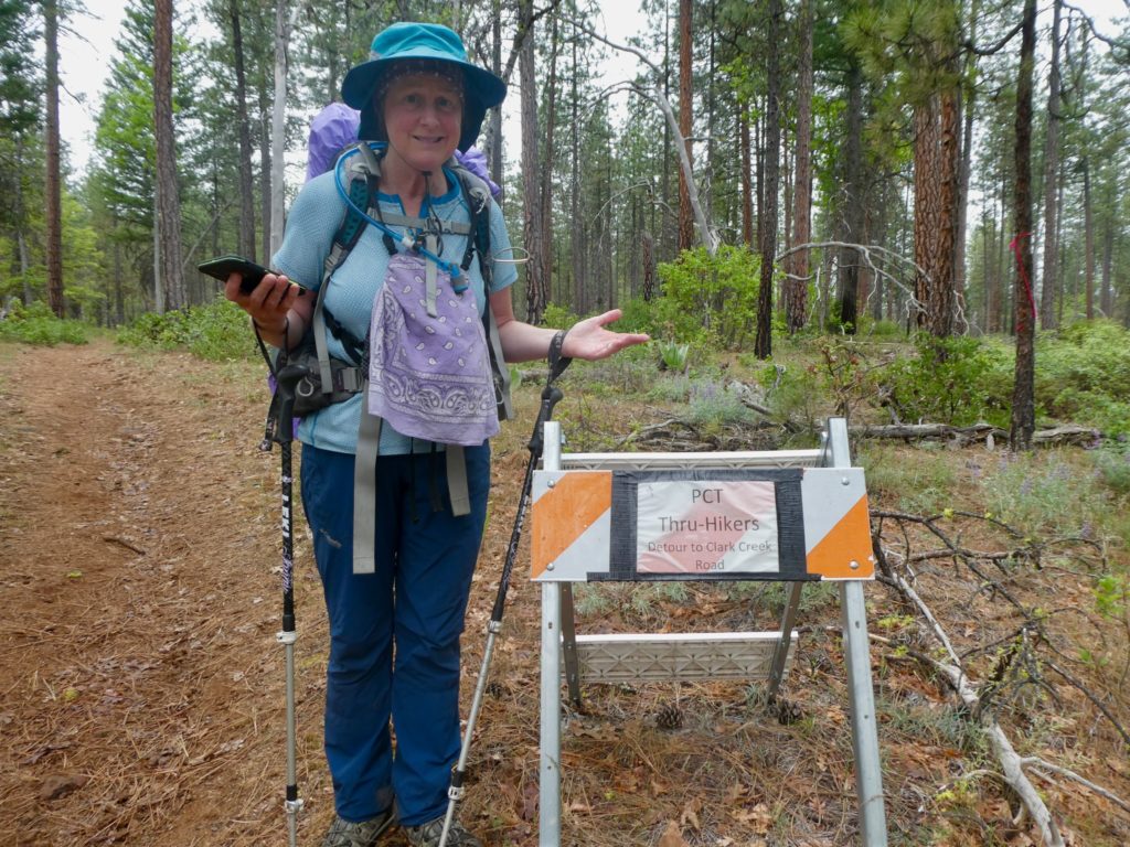
The sign says the trail is closed but not why…we choose to ignore it

The store has a decent resupply, but we don’t need any. We wanted food for now. Lunch choices are limited, but we managed to get by on some hot dogs, chips, soda, and ice cream. They were friendly at the store and offered to watch our packs while we went down to the falls and got a camping spot. 

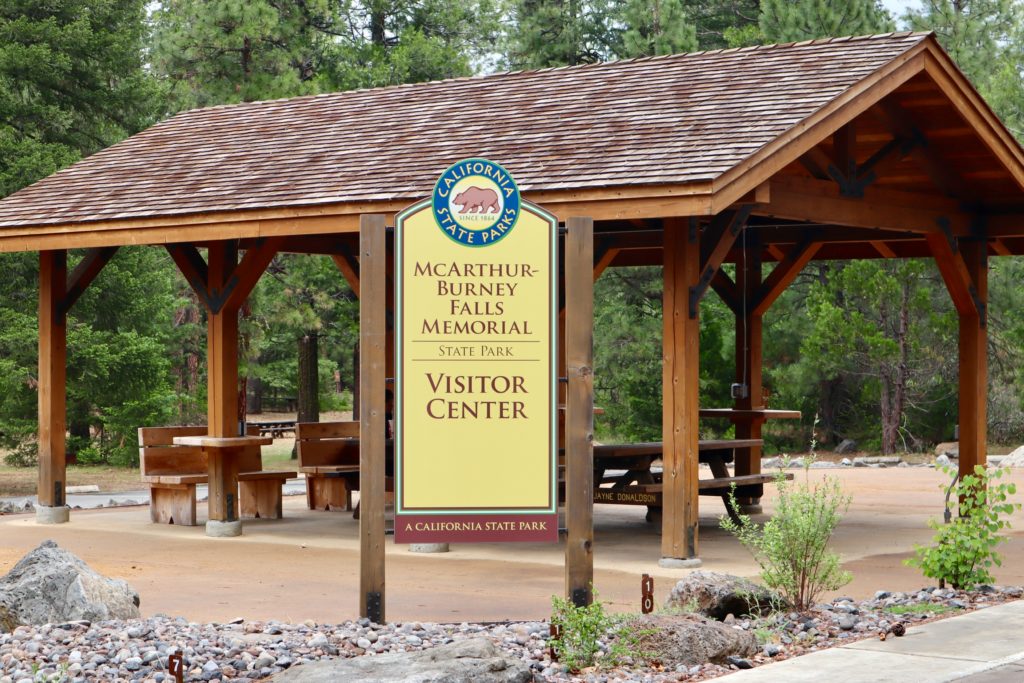
The shelter just outside of. Visor center

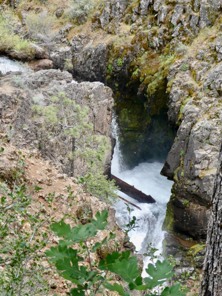
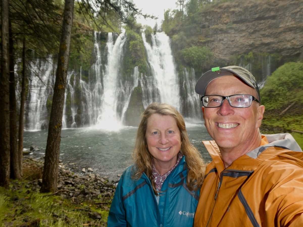
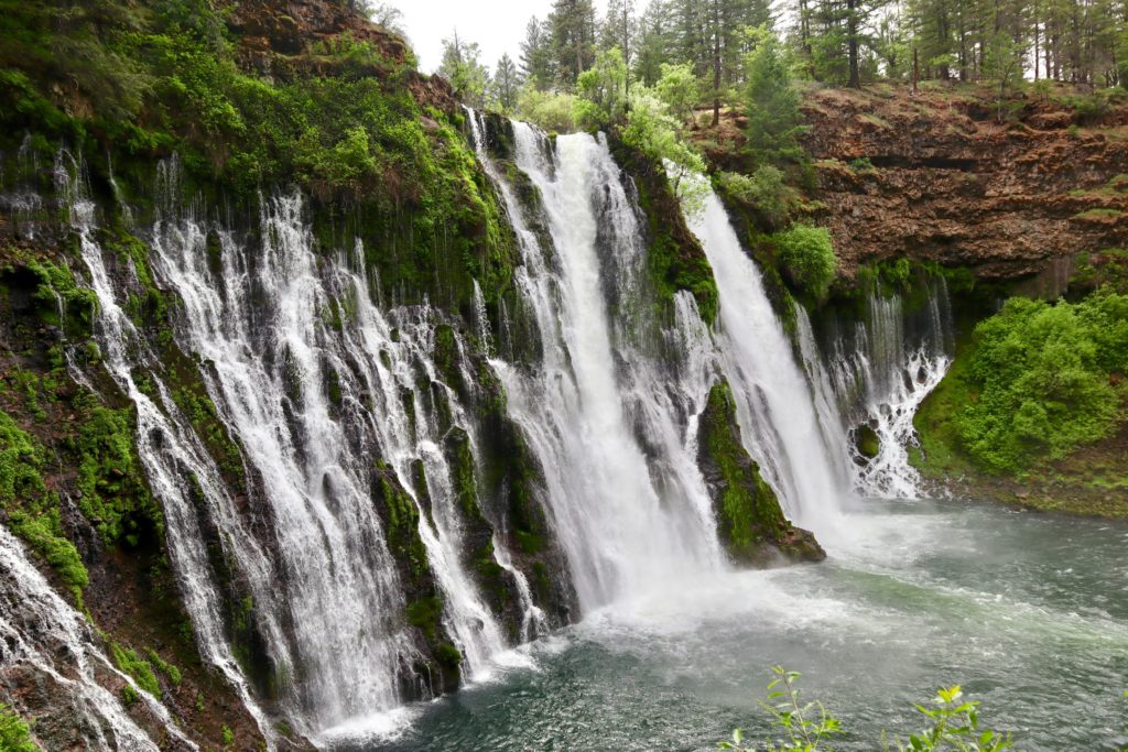
The falls are pretty amazing. The water comes directly from Burney Mountain which feeds into Lake Britton via Burney Falls. Burney Falls, Burney Mountain, and the town of Burney are actually named for a drifter from North Carolina that came to the area in the mid 19th century. His mark on the area wasn’t very significant other than quickly getting “accidentally” shot and killed by a bunch of locals. That’s the mountain where Burney got killed. That’s the stream that Burney died in. That’s the town Burney was in before he got shot. That’s the Falls where Burney liked to go before he got “accidentally” killed. Over time, everything just became known as Burney. I guess this is accidental payback. 

Notice all the water coming out of the rocks and not from the creek

The melt off of Burney Mountain drains into a huge field of subterranean broken rocks about 15 miles above the falls.  The actual stream doesn’t even start to appear on the surface until just about a mile above the falls. Burney Falls is 175’ tall and passes 100 million gallons of water each and every day. Often, during the height of summer, the stream dries completely up, but the falls keep pouring out the water. When you’re looking at the falls, you can’t help but notice the large amount of water coming out of the rocks and not out of the stream. The falls are located at the edge of the upper plane of rocks and the layer below the broken rocks is impenetrable to water; hence, the falls where Burney liked to go before he accidentally got killed. 

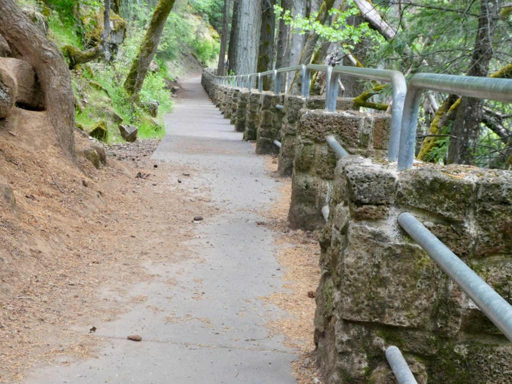
A CCC project developed the falls for the public

Going down to the falls in most times involves about a 15 degree temperature drop because the water is so cold. Today, however, was the opposite. Above the falls, it was cold and windy. As we dropped down the couple hundred feet to the base of the falls, we started getting warmer because the wind was blocked. I’m beginning to actually question whether it ever does get warm in California. 

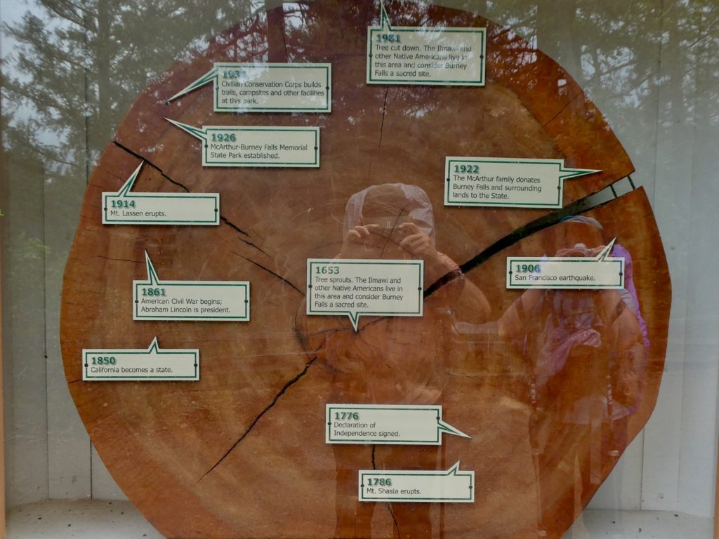
A cross section of a ponderosa pine almost 450 years old when cut down

Bunny and I headed to the campground and set up our tent. We weren’t actually hungry for supper because of our lack of activity for the last couple of weeks and the hotdogs we had for lunch. Instead, we decided to go sit in one of the park’s bathrooms so I could charge my camera and get some potable water to make hot tea. Tell me I don’t know how to pick a woman. How many other people do you know who have a date in a bathroom in a park AND the woman is happy. I’ve always told Bunny the secret to happiness is low expectations. She must have taken it to heart. She married me. 

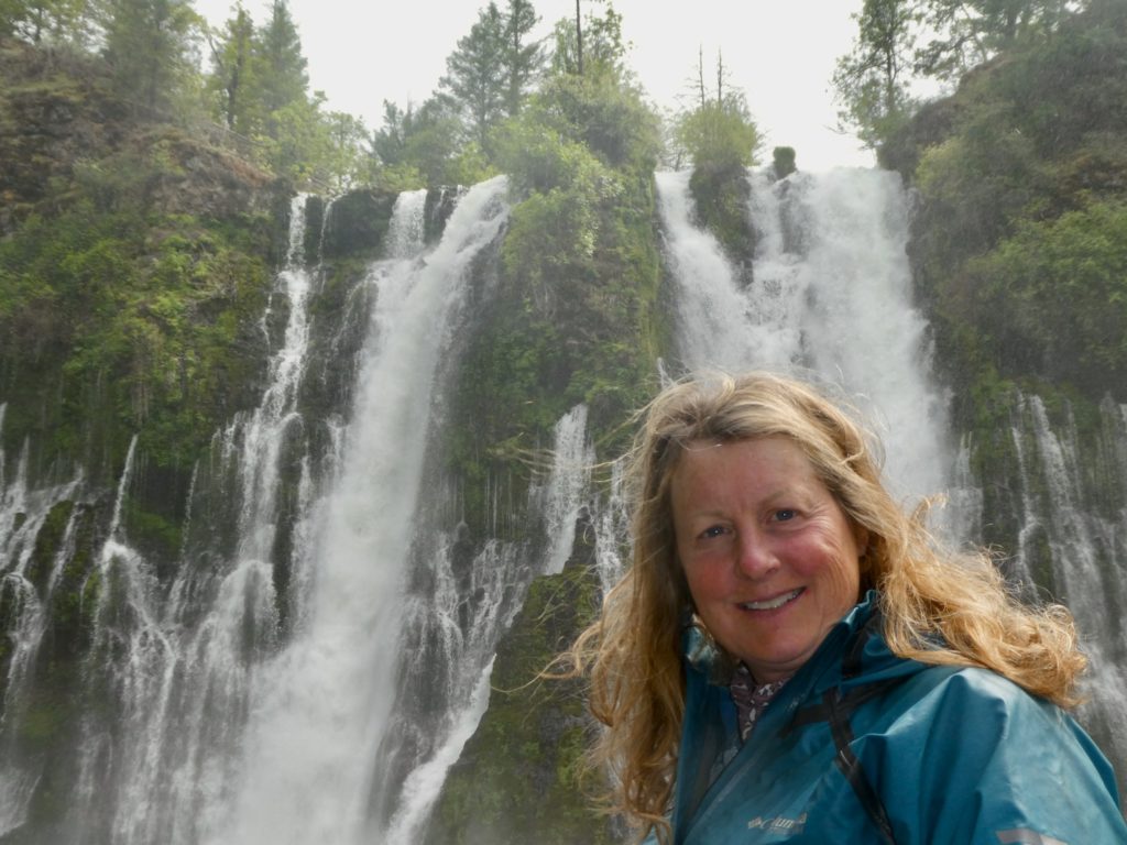
Bunny, obviously has low expectations

EFG
Days 81 & 82, Monday & Tuesday, May 13 & 14, Burney Mountain Guest Ranch—(Double Zero)

Bunny was sick from dehydration by the time we made it to the Guest Ranch last night. I, on the other hand, was feeling pretty good other than being thirsty and hungry. Since it was Mother’s Day and Bunny was being a real mother to me, I went ahead and splurged for a private room rather than set up the tent or just get spots in the bunkhouse. We were the only hikers here the whole time. Most people are still wandering around the desert (and probably will be for about 40 days). The purists still think they are going to push straight through the Sierra. I’m afraid there’s going to be a lot of deaths this year on the PCT. 

Death is in the air…
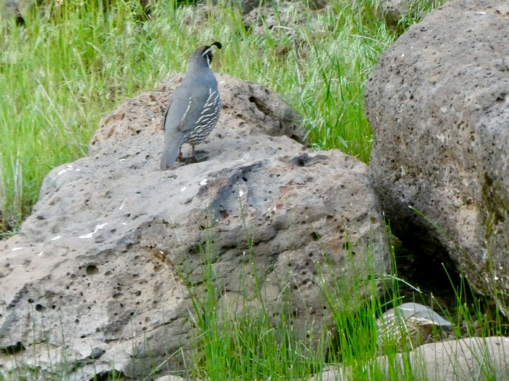
Cats are pure evil, stalking an innocent quail

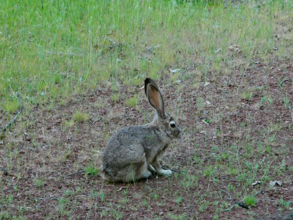
As soon as we got on the ranch, I felt at home. They have a dog. A male Great Pyrenees named Duke. Duke and I became immediate friends. Bunny still wouldn’t let me have him come in our cabin or sleep with us. She’s a very mean woman. Bunny opted out of supper and stalked jackrabbits around the pond while I went up to the main building to eat. I’m sure she would have let a rabbit join us in the room if she could catch one. A very very mean woman!

A Pyrenees charmer, I may never leave

We barely had the energy to shower, but we both managed. The rest would have to wait until morning. They have loaner clothes for hikers to wear, so we started our laundry before we went in for breakfast. After breakfast, I pulled a GI Jane and shaved my own head. I missed the gentle touch of Geo’s hand as he tenderly shaved my head for the first time at Uncle Jonny’s last year on our AT thru-hike. It was another Demi Moore moment, reminiscent of the potters wheel in Ghost. I wonder where Geo is. 

And jackrabbits to make Bunny feel at home, as well

We had intended to stick around until our package arrived, but, when we got the tracking info, we discovered it was scheduled to arrive by 8p on Friday. Since it’s delivered to a PO Box, that means we won’t be able to actually pick it up until Monday morning since the Post Office doesn’t have weekend hours. We decided on plan B. We will have the package forwarded to Mt Shasta where we’ll pick it up mid next week. 

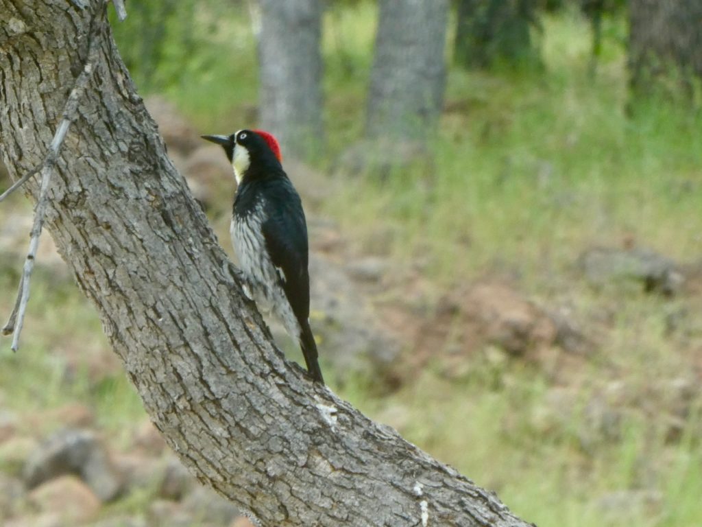
So many birds at the ranch

Mike and Linda have a great setup on the Guest Ranch. They have listened to hikers’ input and have an excellent mini-resupply with reasonable prices. They even managed to become distributors for Mountain House so they are the most reasonably priced on that line we have encountered on trail. Since our food package wasn’t coming, we did pick up enough to get us through the next 90 miles. 

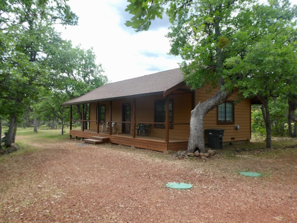
Our room was in this cabin

This is Mike and Linda’s home. They bought the ranch 5 years ago for a bargain price because it needed so much work. This will be the 4th season they have been open to hikers. Linda is extremely conscientious and tries to do everything as best as she can. That’s why they have a great resupply. They have an excellent fixed menu with a 3-4 day rotation. She has studied what hikers like and need. There are some rules. Not at all unreasonable ones. Mike’s elderly mother and sister live in one of the houses on the ranch so they do not allow partying and enforce quiet hours. We tried to stay up late enough to make it to quiet hours, but couldn’t make it past 8 any night. Linda fed us well for supper every night and then we crashed with full bellies. 

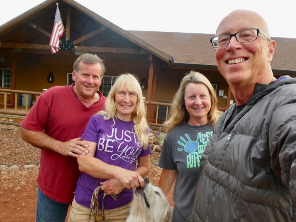
Mike, Linda, and Duke in front of the main house
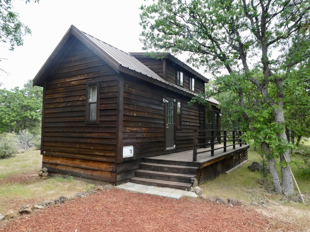
They even have a tiny house on the ranch

We tried to keep an eye on the weather. We considered sticking around until the next storm passes, but then there appears to be another 2 storms following quickly behind. Even though we’re not in a rush, we couldn’t justify killing another week of time after we have just spent a week with Georgi. We decided that we will leave, come what may, on Wednesday morning after breakfast. Linda will forward our package for us as soon as it arrives. 

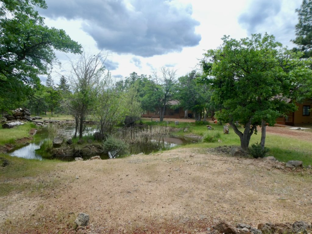
A pond in the center of the guest cabins

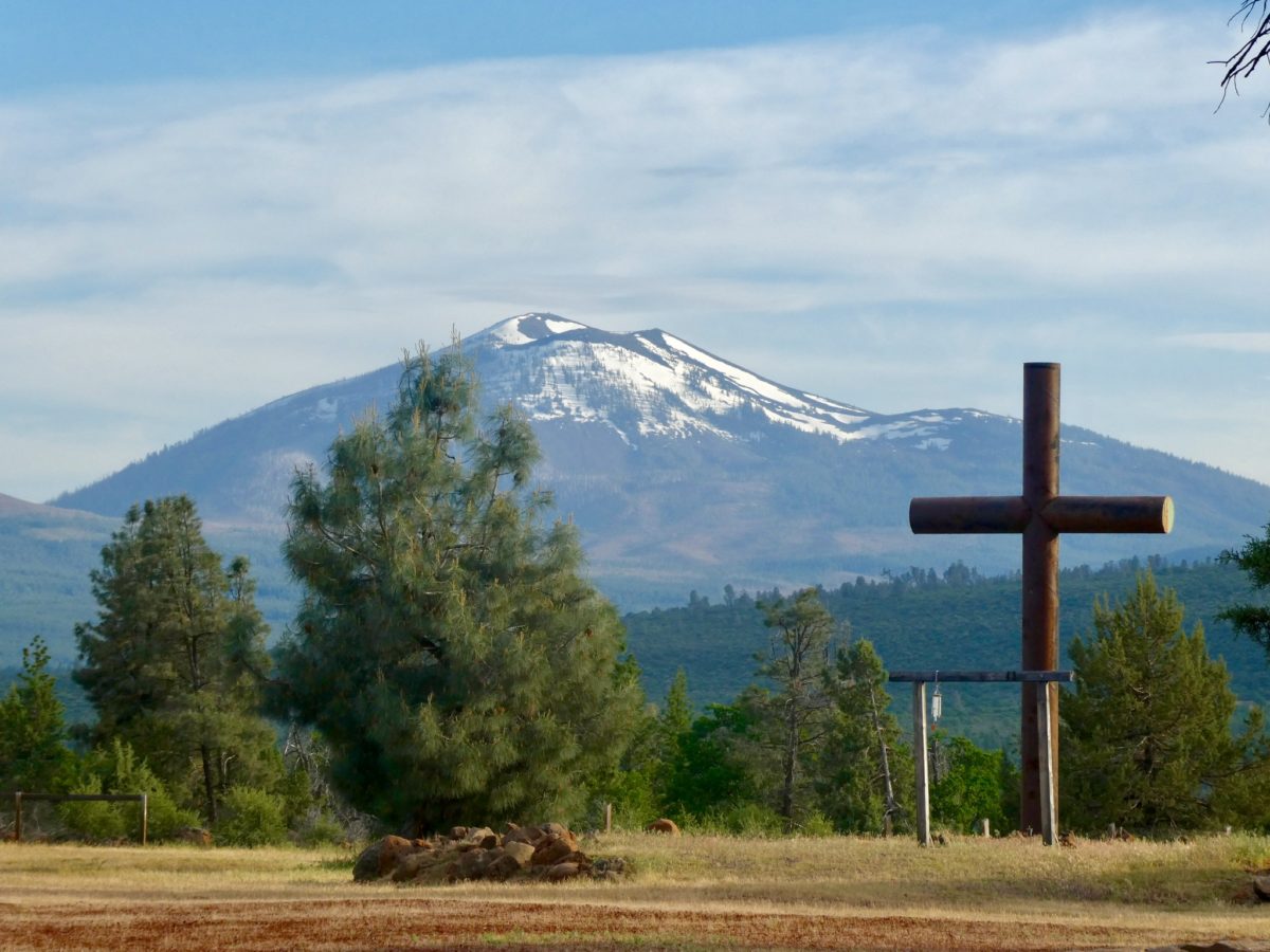
All in all, we had a very restful couple of days off. There is plenty of wildlife around the ranch for us to watch, and the most amazing view of Burney Mountain from the backside of their property. Duke and I bonded so it was very hard for me to leave the first Pyr I’ve encountered since I killed Ilana. This is another easy vortex waiting to engulf weary thru-hikers. 

EFG
Day 80, Sunday, May 12. TM 1409.7, Burney Mountain Guest Ranch—(16.2 miles)

Another hiker, Viva, came in late last night. It must have been after 7. Sure, it was still light, but we were already in bed. I’m not going to be too concerned about meeting him again since he is obviously a redshirt. He arrived in Old Station yesterday. That means he stopped at JJ’s to eat and then walked 20 miles to catch up with us. We’ll never see him again. 

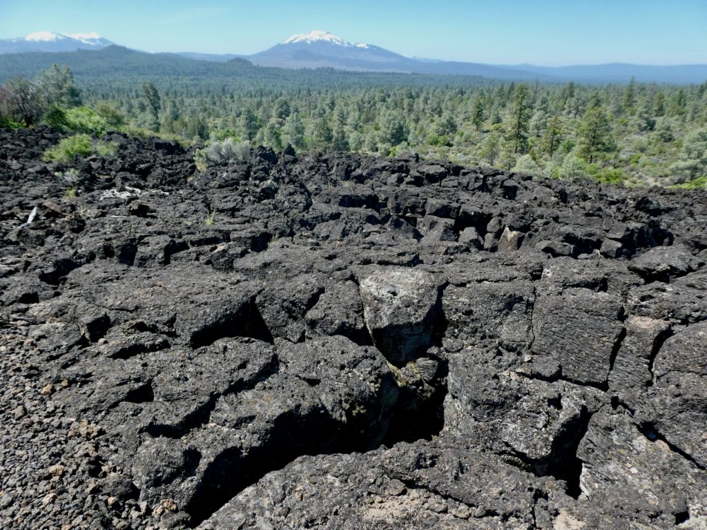
Lava rocks everywhere with just a bit of soil on top

There are three distinct frequencies of swarm hums that all hikers are aware of. The low, distant rumble of bees pollinating the flowers along the trail. The frenetic pitch of black flies dive-bombing the tent. And, the worst. The ultra-high frequency of mosquitoes swarming anything that breathes, moves, or sweats. Hikers breathe, move, and sweat. The sound alone will drive you mad, but mosquitoes swarming and biting lead you to dreams of mass murder. 

We crossed several caved in lava tubes

In the entire history of man, no person has ever said “thank god for flies and mosquitoes.” Mosquitos are responsible for more human deaths than all wars and religions combined. They are evil little bastards. It gives me great pleasure in killing them, even if it is just a fart in a storm. They are particularly irksome when they land on my glasses and start doing the “time warp” in my eyes. 🎶 “It’s the pelvic thrust, that really drives you ins-a-a-ane” 🎶

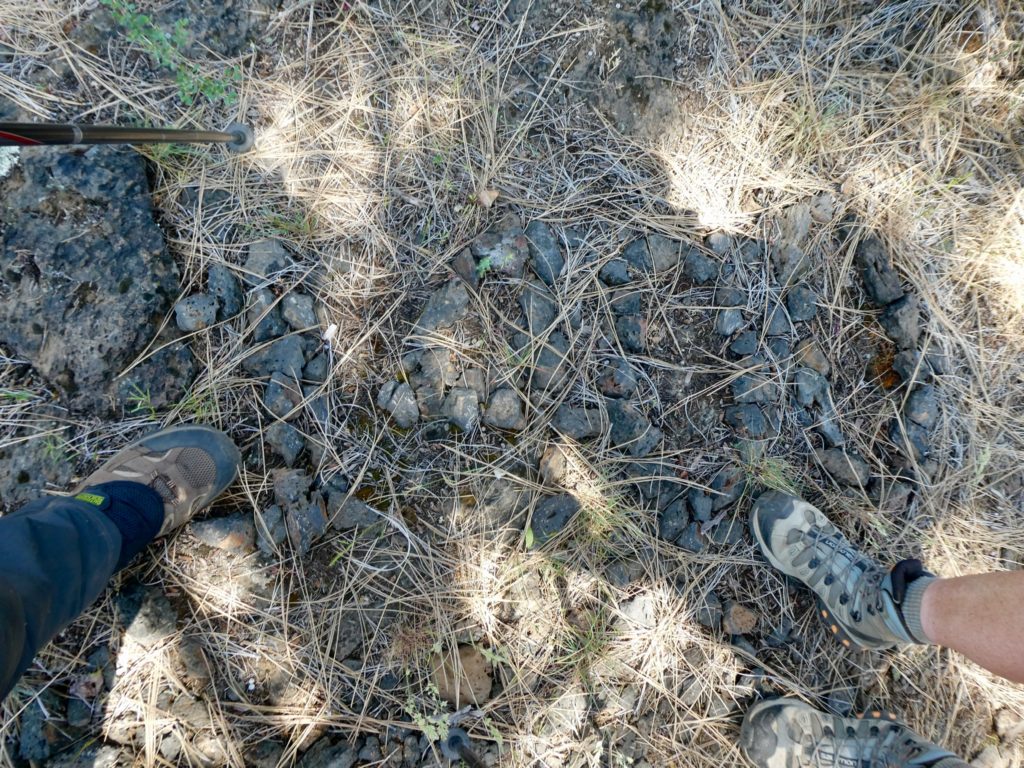
If you look closely, you can see the “1400” mile mark in stones

I think it was a mistake to outlaw DDT. I would gladly pay for a carpet bombing of the trail ahead of me. What have condors ever done to make my life better? Maybe if they flew along with us as we hiked and ate flying pests, I might be more concerned about thin egg shells. Until then, let the DDT rip. I remember running behind the trucks spraying DDT when I was a little kid. The spray never effected me adversely. In fact, the extra toes have given me a much better sense of balance. And the extra nipple proved most handy for me in college. “How many nipples do you have? I’ll show you mine if you show me yours.”

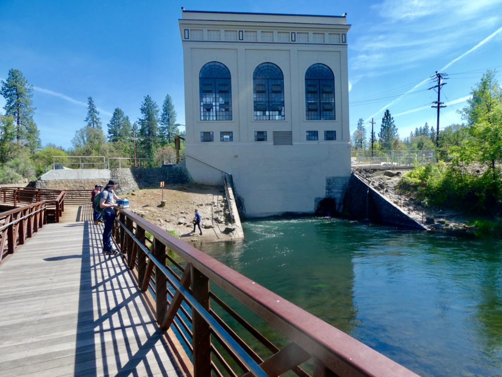
The outlet of a hydroelectric plant with locals fishing

Deet is worthless. The only thing effective against mosquitoes is a strong wind or your tent. I have never found anything that actually works. I considered the possibility of catching bats and attaching strings to  their legs and tying them to my pack so they will eat the mosquitoes as I walk. That, combined with lizards glued to my clothes and a couple of frogs sitting on my shoulders flicking out their tongues and catching anything coming near my ears. Sure, this might add up to a few extra pounds that I’m carrying, but to be bug free! As a bonus, the frogs might occasionally stick their tongues in my ears and I do like that. 

It was hard to catch them with their heads above water

As the intelligent reader might have surmised by now, the mosquitoes and flies were a bit of a problem today. The minute I stepped out of the tent, I got swarmed. I tried dousing myself with Deet to no avail. We packed up as quickly as my wife would allow (i.e. we took our time getting out of camp). As soon as we climbed up a bit, we hit a breeze and got a reprieve. A couple of hours into the hike, we found a shady spot on the rim with a good breeze so we stopped to call our moms for Mother’s Day. 

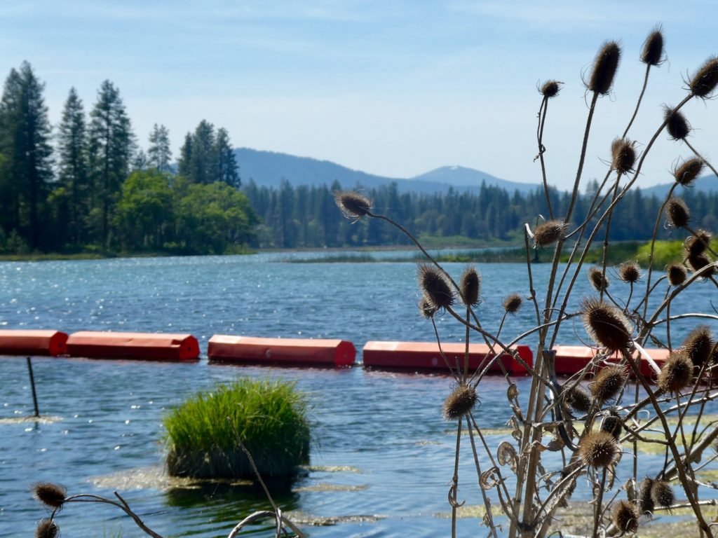
An upper lake spilling into Baum Lake

The trail turned into a living hell for the next several miles. This is when I came up with my bat/lizard/frog solution to hiking. I dreamt of godlike powers of wiping out entire species of insects (and a few select people, if you have godlike powers, you might as well use them to the fullest). Once we were off of the side of the rim, we did find another shady spot to take a break. Bunny was bright red and fading fast. She had woke up with a headache this morning (from not drinking enough water, but I’m not a trained medical expert so my opinion doesn’t matter). No matter how thirsty she is, she won’t drink before bed because she doesn’t want to get up in the night to pee. She drinks way less than I do and I didn’t get up to pee last night (first time this trip), so I know I was slightly dehydrated. 

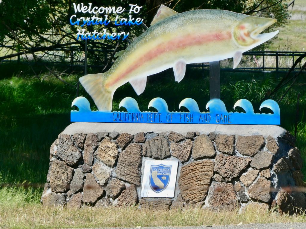
A fish hatchery near the dam

After the second stop, we had a breeze for the next several miles so the hiking was pleasant once again. It was during this 4 mile section where we both ran out of water. When we finally got to some nice flowing water and shade, Bunny didn’t want to stop because we had less than a mile to go before we camped. I had been begging to stop for a couple of miles, but, husband, thy misery doesn’t matter. As soon as we left the last water (both of us parched but unable to take the time to filter one liter out of 2 billion flowing gallons of water) the mosquitoes found us again because there was no wind. And, even though we were on the shore of Baum Lake, there was no access to water. 

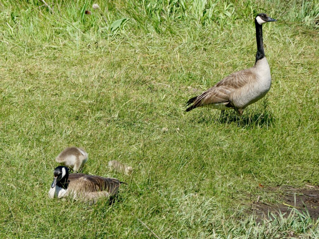
A nuclear family of geese—2 wee ones behind mom

Water water everywhere, but not a drop to drink. There was no way I was staying in this mosquito hell and not eat supper or breakfast because we had no water. We were planning on spending another quiet night and then neroing into Burney Mountain Guest Ranch tomorrow to save a little bit of money. We have a package that should be arriving on Tuesday or Wednesday and I was trying to be fiscally responsible. I am a good Democrat (controversial statement, but when was the last balanced budget with a surplus? Democratic administration of Bill Clinton—fact!) My wife is becoming a California Democrat (we can spend the money now, somehow, it will materialize when the bill comes due). 

A last minute change of plans

Bottom line, we are staying at Burney Mountain Guest Ranch where the mosquitoes can’t get to us and the water comes, get this, straight out of a tap. And, you don’t even have to filter it before you drink it. I am amazed at how fast civilization continues to move while we hike. 

EFG
Day 79, Saturday, May 11. TM 1393.5, Cache 22—(8.0 miles)

We took a page straight out of Mizman’s playbook. We got on the trail right at 10. Mizman had an excuse. He used to stay up until 10:30 at night. It’s true. I saw it with my own eyes. At any rate, we did get our solid 14 in so we are in top form. Bunny made the observation that if we make it to Burney too quickly, we’ll just have to take more zero days (and we’ve already had 23 so far), so why not just take more shorter days and save money. She had me at “save money” and closed the deal with “8 miles today.”

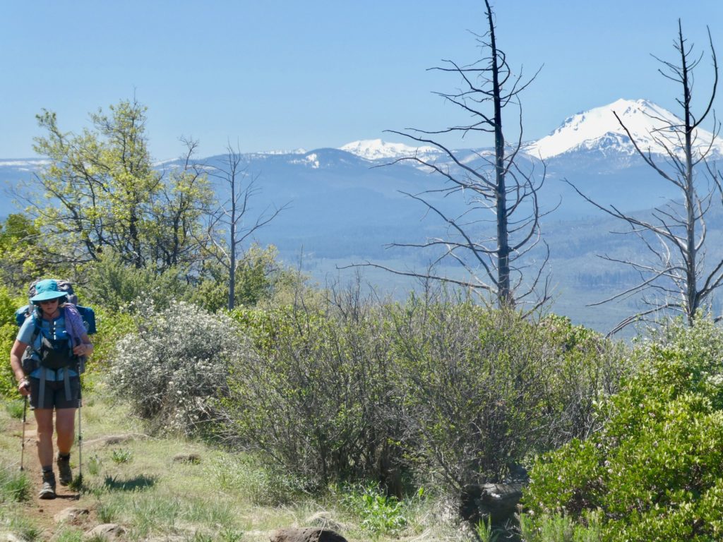
Bunny walking along the rim with Lassen falling behind

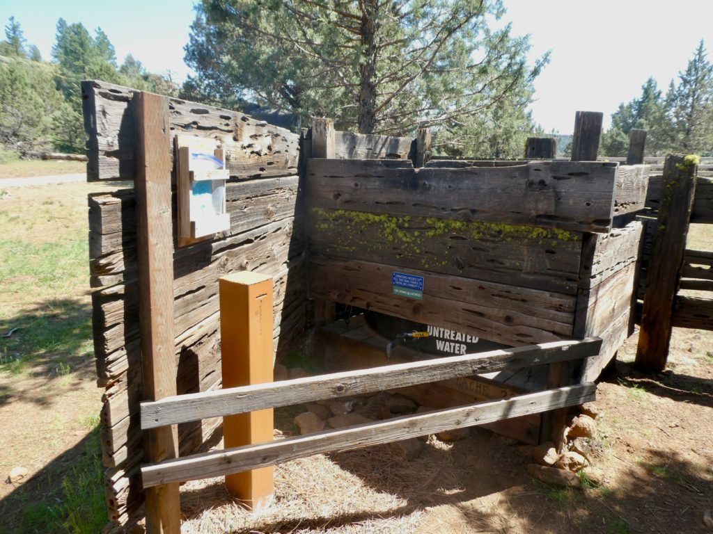
The 8 miles is strategic and has nothing to do with MnM. There’s a water cache at the road there. If we hike past it, we’d have to carry 4-5 liters of extra water to make it overnight. If we stay at the cache, we can get by with carrying just a bit over a liter each tomorrow. The next water source after the cache is in 13 miles, which is where we will camp tomorrow night. 

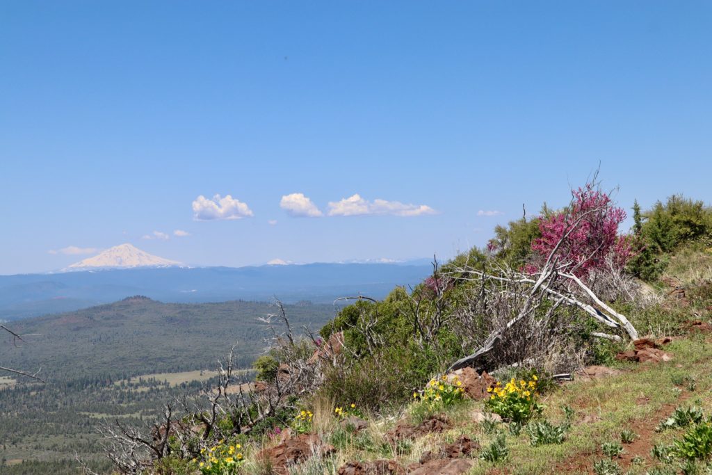
Shasta ahead of us is our new goal

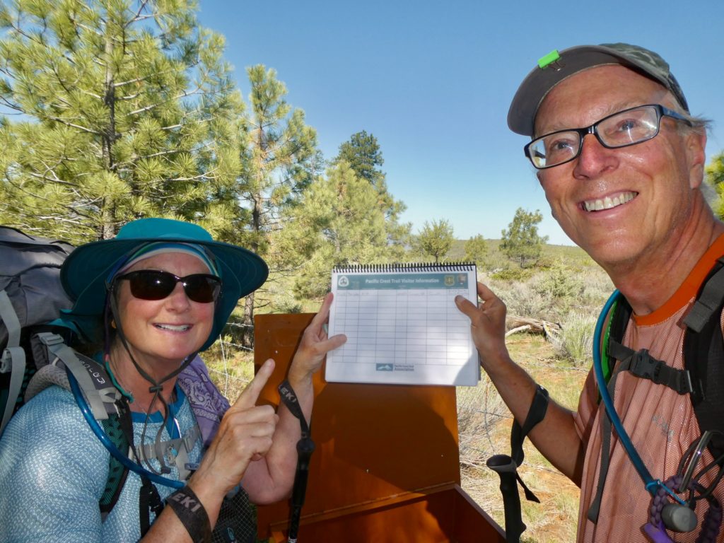
There’s a trail register just about a mile further up the trail from where we camped last night. Afterburner had told us that she had done some trail maintenance the week before last and had put a new book in the register. We were expecting to find the names of people we thought were ahead of us. Instead, we were the first to sign in. We didn’t see anyone on the trail yesterday, so maybe we have it all to ourselves. 

We’re the first to sign the trail register

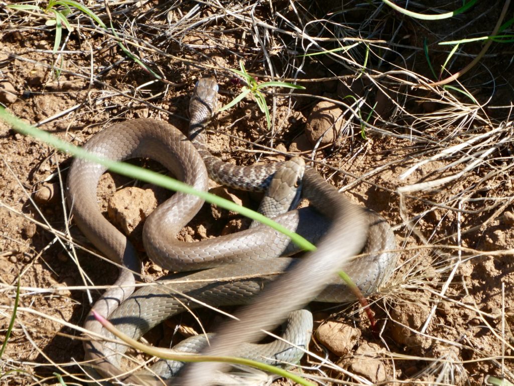
Snakes were active again today. The first two I saw provided another National Geographic moment for me to film. I thought it was weird that the snake didn’t take off as I approached. It was stalking another snake. The snake off of the trail got scared by our approach and took off across the trail where the first snake was waiting. In retrospect, I’m sure snake #2 was hoping that snake #1 would be spooked and take off. It didn’t work out that way. Snake #1 grabbed snake #2 and nearly bit its head off. Once #2 was subdued, #1 proceeded to swallow him. It was interesting to watch. Bunny was a little freaked out by the whole predator/prey nature moment and didn’t want to pass while they were still on the trail. I assured her that snake #1 was totally vulnerable with another snake half eaten hanging out of his mouth. She was perfectly safe to pass. 

To the death…no, to the pain!

With all the snakes we’ve seen the last two days, I’ve got the permanent lead when walking. So far, I don’t think any of the snakes we’ve seen up here have been poisonous. Most of the rim is fully exposed because of recent fires so when I saw a clump of trees ahead, I asked Bunny if she was ready for a break. I performed an area snake check yelling “snakes be gone or die” which always clears out the area. We had a nice shady spot on the edge of the rim with a steady breeze to keep the flies and mosquitoes away while we had our lunch. 

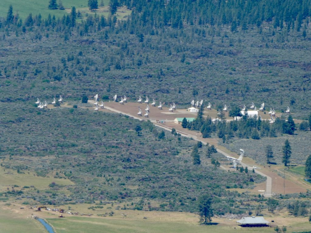
Some sort of satellite array in Hat Creek Valley

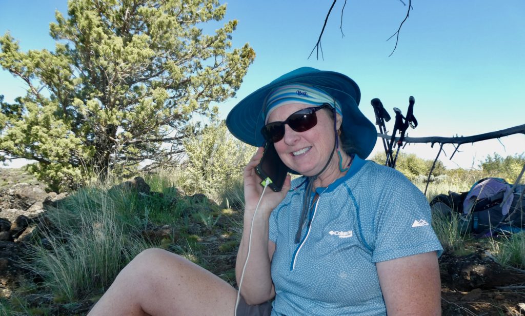
Tomorrow is Mother’s Day and Bunny got her gift a day early. Sam, her son, who is in Basic Training, got his phone today. It was perfect timing when he called. I could hear Sam on the phone talking. He is sounding more confident and mature after just a few weeks in the army. This was always a dream of his and he’s loving it. For the last few weeks, they’ve been firing live ammo. No surprise, Sam got an excellent rating in marksmanship. He’s got the sharpest vision of anyone I’ve ever met. He once spotted a porcupine in a tree while we were driving 30 mph down the road. I didn’t believe him so I backed up. He was right. I never questioned his vision claims after that. 

Bunny got to talk to her son who is in Army Basic Training

With our stops and breaks, we still made it to Cache 22 by 2. That means we were walking over 2.5 mph when we were in motion. Of course, we had ideal conditions, both weather and trail. Right next to Cache 22 was Milo’s Egg Stand. He was selling eggs for $.02 each. I felt it was wrong to profiteer off of PCT hikers so we agreed to pay $.05 each so he’d just break even. 

Cache 22

The register at the water cache gave us some assurance that we are not alone in the wilderness. At least 5 other nobos have signed in since May 3. The most recent is only 4 days ahead of us. Hopefully, they are able to break trail for us around Red Mountain. If they can establish those 11 miles, we should be good to go for the next 150 miles. By the time we get our package next week, the melt should be in full swing. 

Bunny is on edge after another snake encounter

We picked a spot to set up camp and then proceeded with the usual chores. Bunny took care of nest building while I fetched and filtered water before cooking. When she was done setting up, she came outside and freaked out. Right next to the tent was a mouse that was in terror for the exact same reason Bunny was. There was a snake measuring in at a couple feet in length wanting to eat a rodent. They both ran to me for protection. I assured Bunny she was safe because snakes cannot eat anything bigger that themselves in length. As long as she stays straight, she’ll be fine. She just needs to quit curling up in the fetal position every time she sees a snake. 

EFG
Day 78, Friday, May 10. TM 1385.5, Lost Creek—(12.1 miles)

The alarm went off at 6:30. This was bad. We’ve gotten used to sleeping past 8. Bunny hit the snooze. I suppose it went of at 6:39 when she hit it again. I woke up at 6:51 and asked if we could stay another day. The mean woman next to me said no. When all else fails, start packing up. 

Jeannie came out a little after 7 to say goodbye to us. She has to work one of her jobs today and had to leave by 7:15. I think she might have been on a ‘verification mission’ to make sure we were really going to leave. We actually did start walking right at 7:30 when we said we would. Georgi was going to meet us at JJ’s at 8:45. 

Water is a mere 600’ down in a 1/4 mile stretch of trail…guess who didn’t offer to get water, again

Bunny and I have hiked close to 4500 miles together. In all that time, I can clearly recount the number of times we have walked in excess of 3 mph. The common threads between those occurrences is that they were all downhill and did not last for more than an hour. Today, Bunny has decided we are going to maintain a 3.5 mph rate for well over an hour. I hope Georgi doesn’t mind waiting for us because I don’t see us getting there until 9:30. What do I know? I was only an engineer for 30 years and had a math minor in college. Bunny knows best. 

Yada yada yada, we got to JJ’s at 9:30. Georgi said she was just about to give up on us or call in a search and rescue. We had a really nice breakfast with Georgi. We took our time knowing that we only had another 8 miles to go for today. In fact, we’ve only got to cover 30 miles in the next 5 days to get our package that is coming to Burney. We might resurrect the 8 o’clock wake up time for the next few days…ease back into this hiking thing.

Looking over the rim kind of down to Lost Creek. I’m guessing the water is snow melt flowing through lava tubes

It was a pretty easy walk today, but I wasn’t fluid in my movements (other than bowel, but that’s something else entirely). I felt very stiff, almost like I was Frankenstein’s monster. My right heel was acting up. Probably from our road walk from JJ’s to Georgi’s yesterday. If we had been thinking, we would have walked the trail back yesterday then slept in until 8:30 again today and catch a ride with Georgi to the restaurant. We haven’t slack packed yet on the PCT but I might consider it in exchange for sleep. 

The rim is about 600’ higher than Hat Creek Valley. Fires have swept through this area within the past 10 years making trees almost nonexistent on the rim. In effect, we are still walking in a desert. And like a desert, I saw snakes today. Lots of them, but no poisonous ones. I almost stepped on two of them before they started moving and scared the crap out of me. They just haven’t been exposed to many people yet. We believe there are at least 4 people ahead of us.

We found a few trees for protection

We made it to our campsite right at 4. As soon as I set the tent up, I started cooking supper because I’ve put a lot of dried veggies in it and it needs to soak for quite a while. While it was soaking, I climbed down to Lost Creek to get water for tomorrow. Climb is the proper word, not hike. It’s a 600’ drop in 1/4 of a mile. Very reminiscent of a typical day in the Whites on the AT (which we thru-hiked last year, drink up, the game is still on).

We almost stayed up until dark

Bunny and I tried to stay up, but with full stomachs, a light breeze, and too many flying insects, we were forced into our tent by 5:30. Maybe we’ll be able to get a full 14 hours of sleep in tonight. 

EFG

Episode 11, jumping north!

Days 71-77, Friday-Thursday May 3-9. Jump to Old Station—(Septuple Zero)

We have a new four letter word—snow. The PCTA satellite snow map doesn’t look promising that we will have a lot of clear trail in Northern California. We did decide to take Devil Fish’s advice and head to Old Station. It does look like we have a few miles of open trail there. We plan to take our time getting there and maybe kill a few days before we actually hit the trail once we get there. 

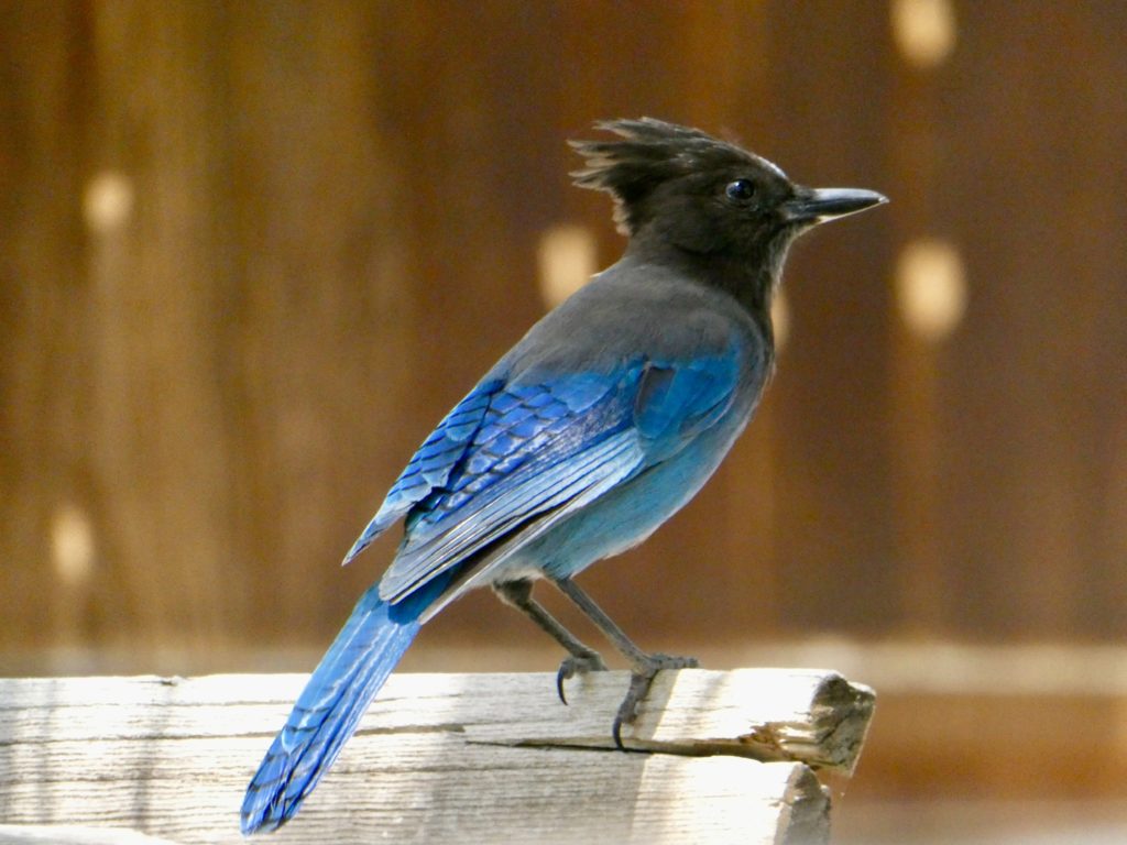
A stellar jay trying to eavesdrop on us while we plan our next stage

Before we headed into town last night, we arranged for a rental from Budget. We were able to get a one way rental for about the same price as two one way bus tickets. This gave us the rare opportunity for a leisurely breakfast and morning of packing before getting an Uber to take us into Palmdale to pick up our car. First thing on the agenda after getting the car? Eat!

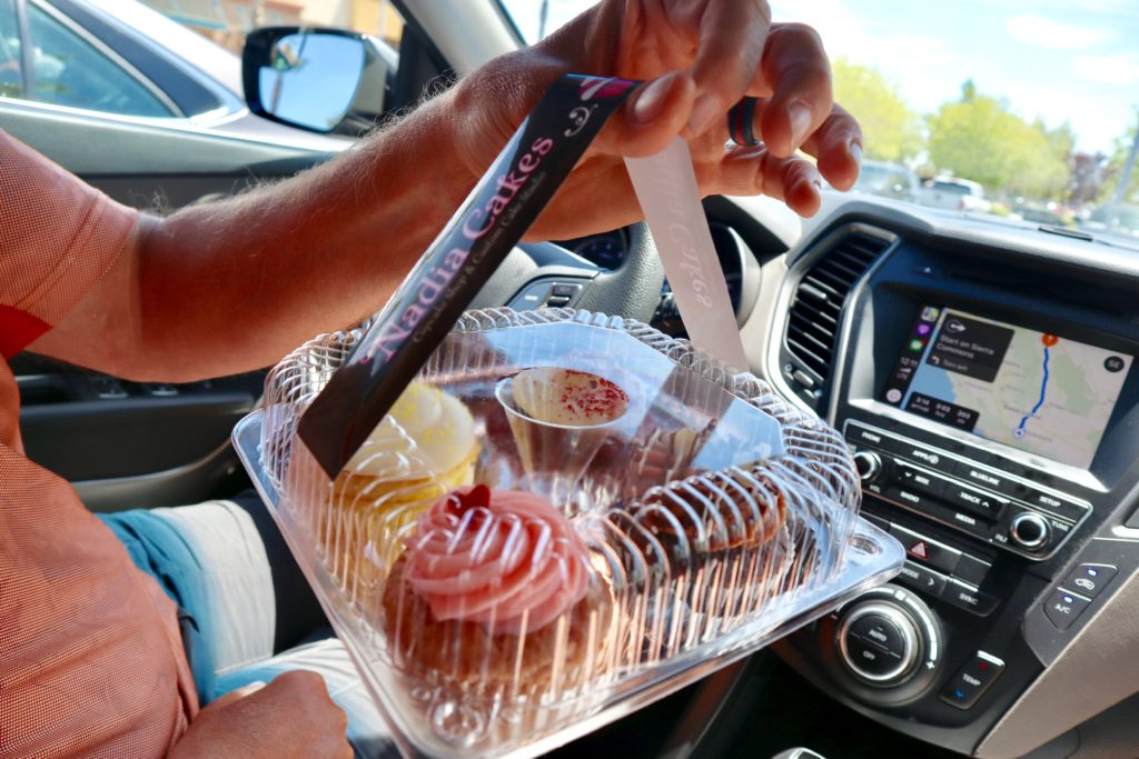
Cupcakes to hold us while we drive. They didn’t last as long as we had hoped they would
Desert rocks near Walkers Pass

Budget worked out for us to get an extra day on our rental at the same price. We felt even more relaxed about the driving now. We headed back up the desert towards Walkers Pass to see if we might find some other hikers that were interested in jumping ahead. No one was around so we gave up on the idea of having someone else to hike with. The only place between us and Old Station that had an outfitter was Bishop. I’m hell on my trail pants. Last year, I kept ripping out the zippers on them causing me to get temporary moniker of “Easily Exposed”. This year, my ass is the problem zone. I picked up a new pair of convertible hiking pants and some tent stakes to replace the two nonbreakable MSR stakes I’ve broken in the last week. 

Did someone say “road trip?”

We continued the drive up the eastern side of the Sierra. I’m telling you we’ve made the right decision to jump north. There is no break in the snow above 8000’. Even driving in the desert, we encountered snow down to the road as low as 7000’. Since the drive, we’ve heard that Mt Whitney may not be able to be summitted at all this year without crampons and ice axes (requiring a level of skill way beyond our comfort zone). We stopped in Gardner, NV for supper before stopping in Carson City for the night. 

That looks like a lot of snow at elevation!
Right down to the road as we drive!

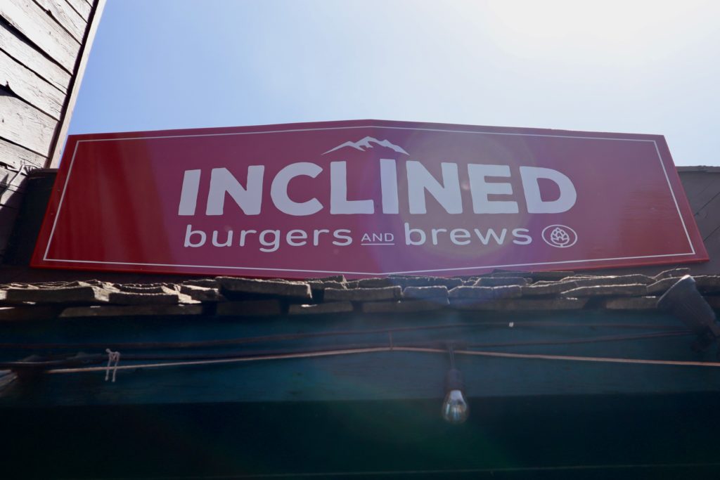
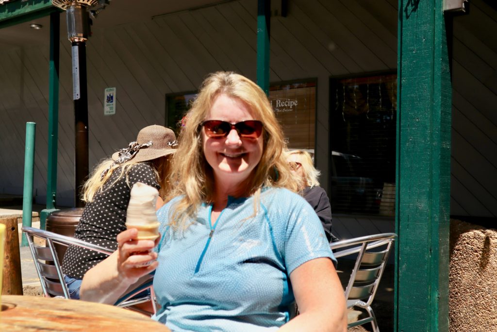
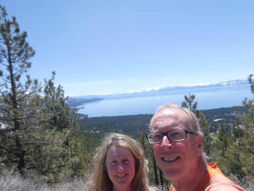
After seeing all the snow, we were sufficiently concerned as to whether we will even find clear trail once we got to Old Station. Our uncertainty combined with an extra day of car rental helped us decide to take a detour up to Lake Tahoe. The roads were clear and dry, but almost entirely snowed in otherwise. When there wasn’t snow on the ground, it was swampy from all the melt. We stopped for lunch in Incline Village which was snow everywhere more than a mile from the lake. 

Best Burgers in Nevada!
AND they have ice cream
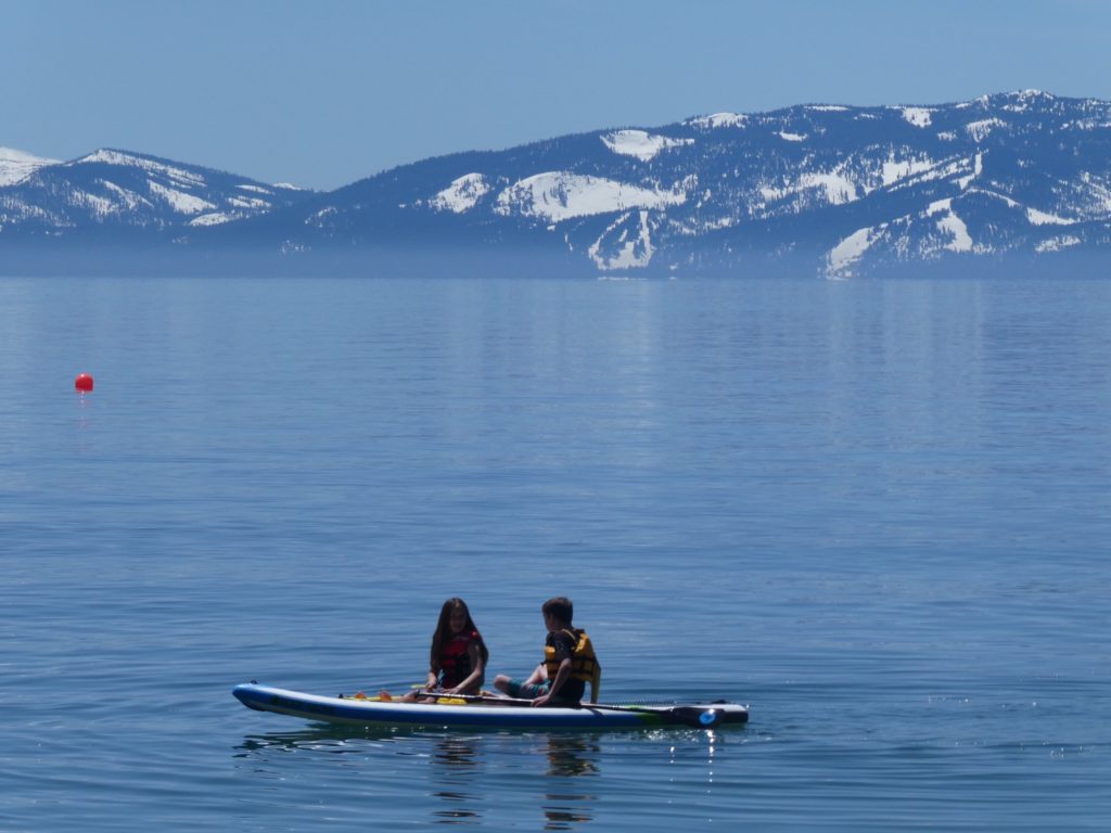
Lake Tahoe ringed by snowy mountains
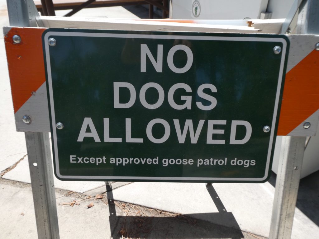
How do I sign my dog up for goose patrol?

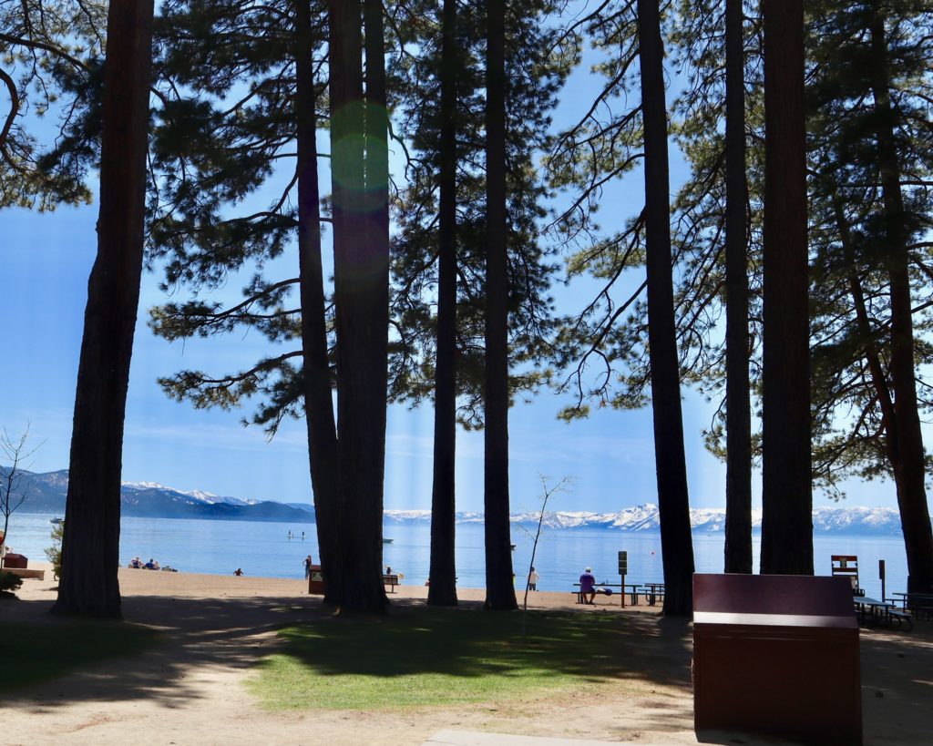
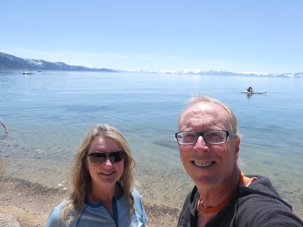
I can see why Mark Twain loved Lake Tahoe. It’s the largest lake in the USA by volume outside of the Great Lakes. It’s the second deepest Lake in the US at 1600’ just behind Crater Lake in Oregon at 1900’. Lake Tahoe sits at 6400’ and is ringed by a series of 10,000’ peaks (all covered in snow). The lake is so large that the circumference of the earth comes into play when trying to look across its surface. You cannot see the opposite shore from shore level. I instantly hated all the little kids growing up there since they don’t know how good they’ve got it. They are all just dreaming of the day when they grow up and can move away. I’m just dreaming of the day when I win the lottery and can move in (although I’m sure their parents, as most adults in the world, dread the thought of someone like me as a neighbor).

A sandy beach surrounded by snow
It looks like fun as long as you don’t fall in
We can’t see the opposite shore
A beach panorama

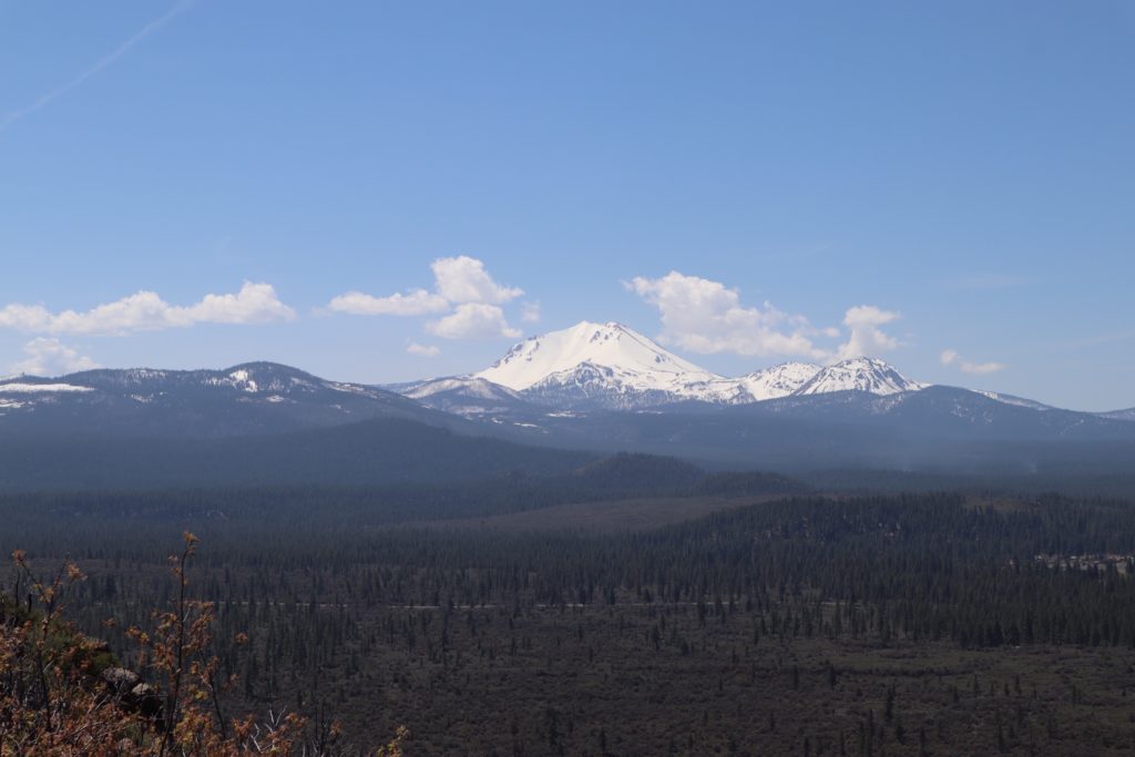
After lunch, we continued our drive up to Old Station. We still haven’t figured out how we’re going to return the car in Redding, but we know the trail has a plan. The plan might be for us to walk 60 miles back up to Old Station, but, a plan is a plan. As we were dropping into Old Station, we got a full frontal of Mt Lassen. It is nothing but snow from about 5000’ up. The road isn’t even opened up through the National Park yet. After talking to a few locals, that’s not even expected to happen until mid-July. Old Station is the only possible location for us to hop to at present. Ivy had tried jumping to Beldon and found that to be a waste of time. 

Mt Lassen is completely snowed in. The PCT is not expected to be passable through the NP before July

I pulled into the first gas station in town (also, the only gas station in town). I went inside and asked the attendant if she knew of anyone that might be willing to drive down to Redding with us to return our car. She said she’d make a call to see if she could find someone. She called a retired trail angel from the area, Georgi. With it being a Saturday night, we weren’t expecting much. We were hoping, at best, we’d drive down to Redding tonight and return the car. We’d get a hotel and maybe someone might be able to pick us up sometime tomorrow. Georgi (FireFly) told us to come by her house right now and drop our gear off. She’d follow us down and bring us back up tonight. The trail has a better plan for us than walking an extra 60 miles. 

Georgi’s very inviting back porch
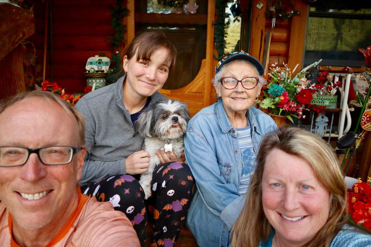
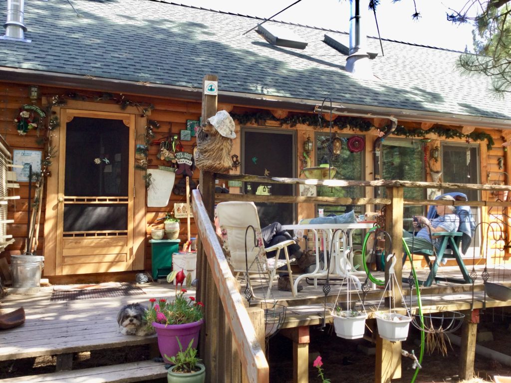
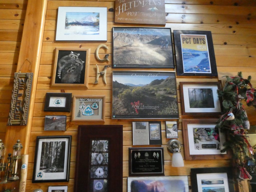
Georgi has lived a very adventurous, nature oriented life. She has been a Trail Angel for years

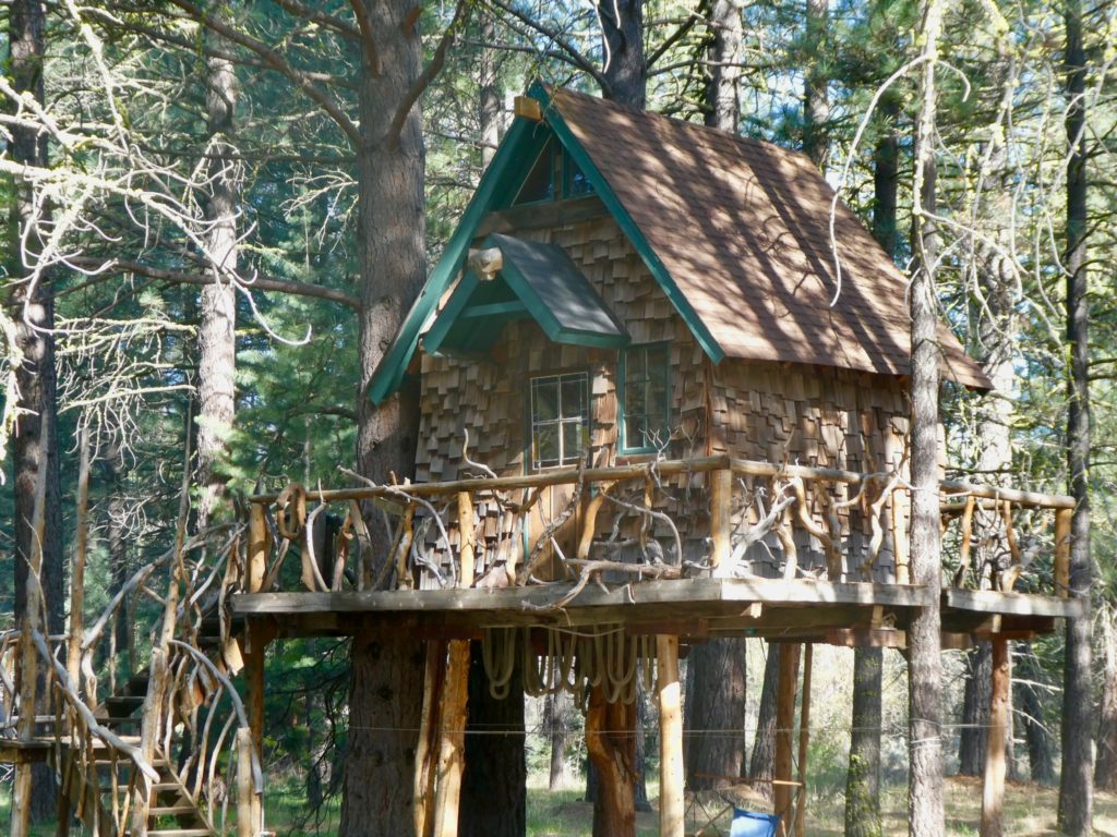
When we got to Georgi’s house, she showed us to a great little treehouse that she said we could stay in for the night. She has a housemate that was going to ride along with us tonight. This was Jeannie (Afterburner) who hiked the trail in 2017. Georgi is slightly over 80 and needs a little extra help so she can stay at her home in the mountains. Jeannie moved in a little over a year ago. We drove down to the airport to return the car and then we went inside the deserted terminal to eat at a Chinese restaurant. I wasn’t expecting much as we walked into the ghost terminal, but was amazed when we went upstairs to a full restaurant. This is a hidden gem. 

What a dream tree house!
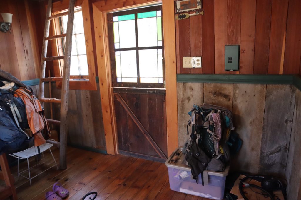
A dry roof over our heads and so cozy
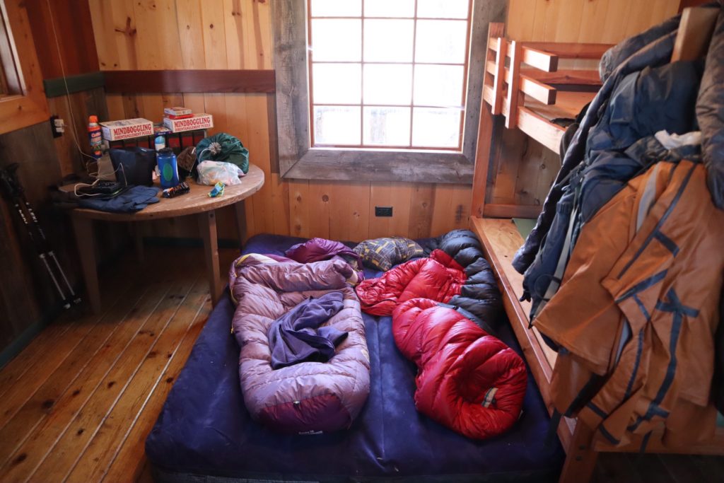
We chose in inflate a large mattress and sleep on the floor

We got back after dark. Georgi told us there used to be electricity in the treehouse, but they weren’t sure what happened to it. I said I’d take a look in the morning and see if I could figure out what was going on. After breakfast at JJ’s Cafe, I started tracing out the electric. I managed to eliminate a bad breaker, etc but couldn’t find the problem. It was after the obvious simple solutions were ruled out that I decided to trace the wiring. I opened up all the known junctions and was able to determine the route of the wires by checking wire colors. The route was not what she had told me, but I was able to figure out the route and find another simple solution. It was just unplugged in a corner behind the pump. It was a different simple solution. By figuring out the electricity, we had entered the vortex. 

Eating at JJ’s just down the road and right off the PCT. This is a very hiker friendly community
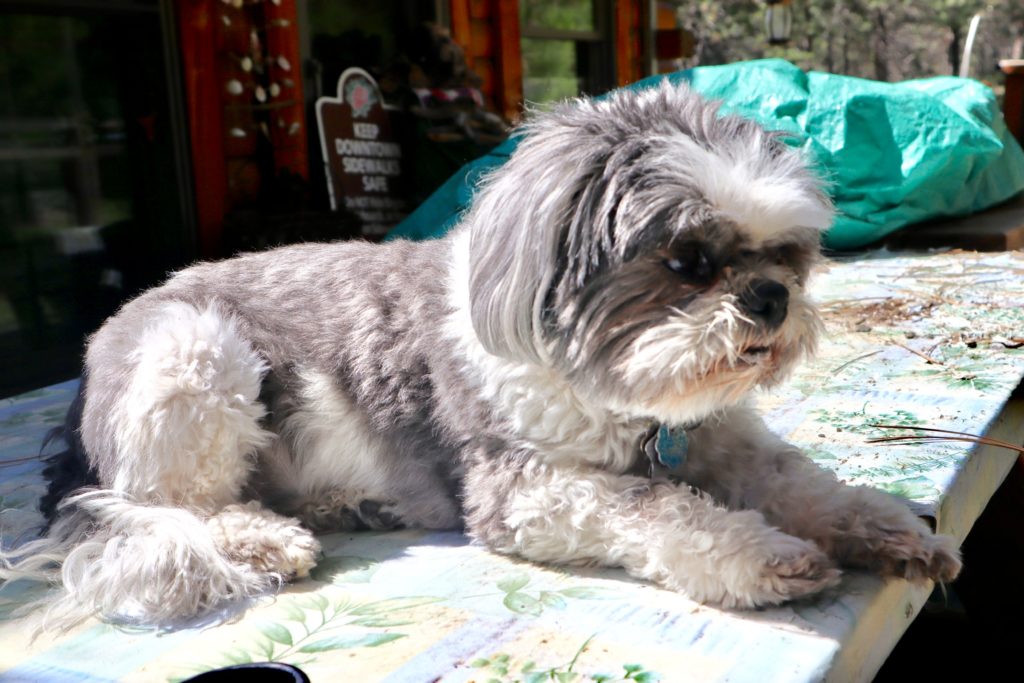
Georgi’s constant companion—Toro
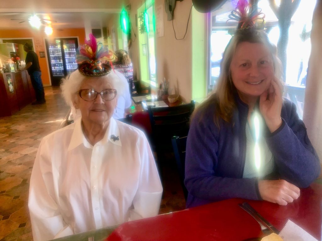
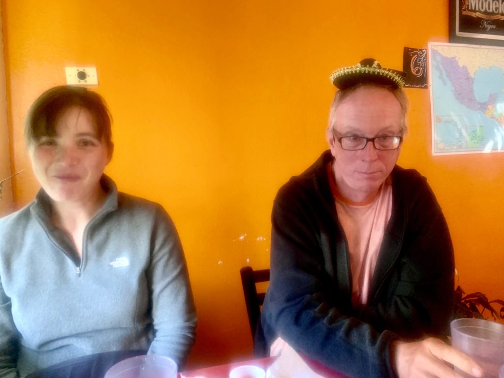
Georgi and Bunny riding high on Cinco de Mayo

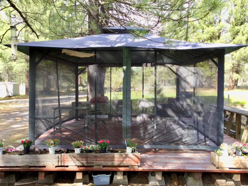
For the next four days, we helped out Georgi by setting up her cook kitchen gazebo, picking up the yard, repairing broken chairs, adjusting sprinkler heads, moving plants, taking down blinds, etc. During that time, we usually ate a meal a day at JJ’s and had a meal a day in the reestablished cooking gazebo. Georgi also took us out to Mexican on Cinco de Mayo and cooked us a ribeye steak dinner one night. 

The resurrected cook kitchen/gazebo at Georgi’s Place

Also, during our stay, Georgi drove us along the trail’s route all the way up to Burney. She told us what to expect along the way and where to find water. She also shared her knowledge of the trail through Oregon and Washington, telling us danger spots as well as sights not to miss. 

Subway—not quite what I was expecting…where’s the sandwiches?
Afterburner not sporting a Cinco de Mayo hat like Easy is

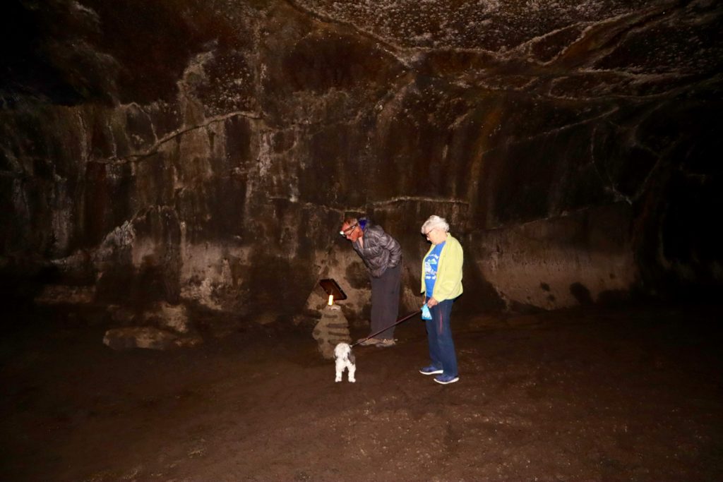
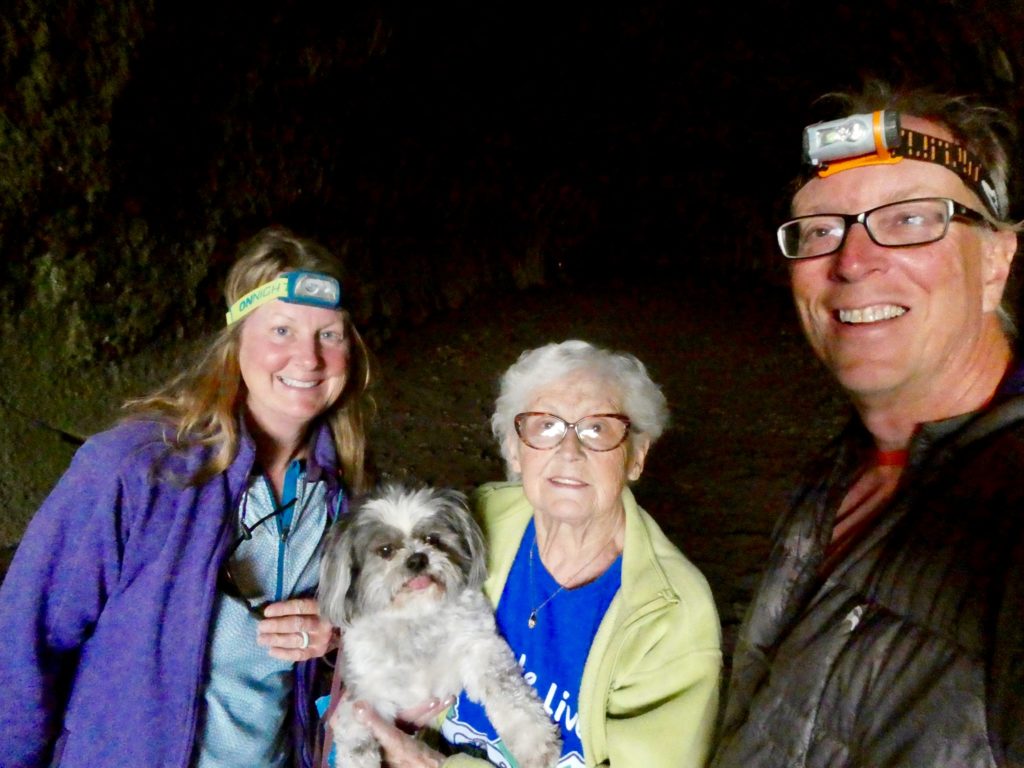
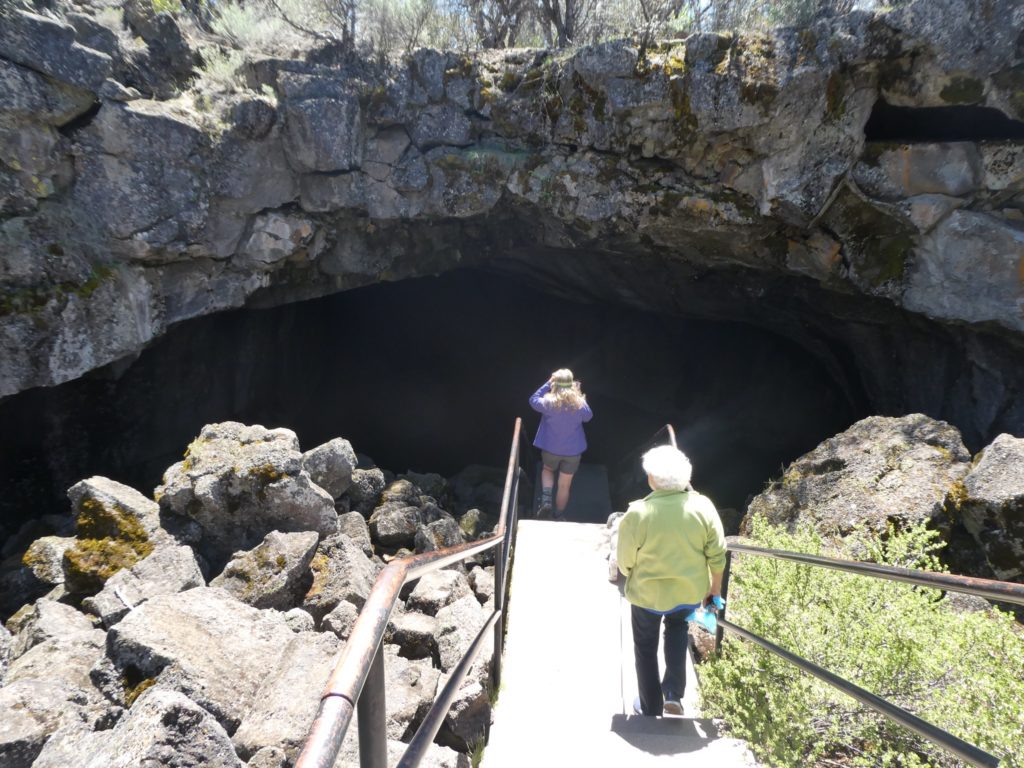
Before we arrived in Old Station, I had never heard of Lassen Volcanic National Park. It is one of the smaller national parks but one of the more interesting ones. The Cascades are all volcanic in nature. Lassen is the southernmost volcano in the Cascades. We are not be able to enter the NP at present but we will when we return from the Canadian border. The Hat Creek Valley was formed from Lassen’s outbursts over the millennia. Georgi said she was taking us to Subway so I set my tastebuds on a cold cut sandwich. Instead, she took us into Subway Cave which is a lava tube. This was a first for us, but it left me wanting of food (hiker appetite!). 

Heading into the lava tube with Georgi as guide and Toro as guard
Our last light

This has been the longest break we have ever taken while hiking. I’m afraid we’ve been off trail so long that we are going to have to retrain our legs for walking and our backs for carrying. We have made contact with some old friends from early on in the AT last year: Pit Boss and Play by Play. They are going to meet us when we do break free of the gravitational pull of having our own tree house. We are pretty sure we will be leaving tomorrow, but there remains a few extenuating circumstances to consider. At present, we only have about 130 miles of clear trail (assuming we can traverse an eleven mile stretch of snow around Red Mountain after Burney Falls) and tomorrow night is the third to last episode of the Big Bang Theory. As everyone knows, the Big Bang involved a tremendous amount of gravity. 

EFG

As always, Sheldon gets his way and we stayed another night