Brad is like a broken record at times—“Do you have a good water filter? Do we have maps? Do we have an early exit strategy?” Just because our water filters got plugged up our first trip out and we only had homemade maps. No body died—even when I had the opportunity with him standing on top of a 12,500’ pass. So the filters clogged, we boiled water for an hour (thanks to the BioLite stove, an endless supply of sticks, and George’s pyro addiction).
Why am I bringing this us? Mainly because Brad LOVES to say I told you so. After we had a leisurely breakfast, we decided to head to Hemmed In Hollow. It’s only 2 miles from us and we had the maps from the NPS website. Generally, the NPS provides pretty decent maps, but the emphasis along the Buffalo River is the water way itself (which I imagine are spot on). The hiking maps…not so much.
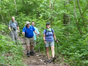
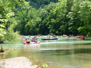
I was carrying a pack with our picnic lunch and drinks. I think George or Karen were carrying a pack with food as well. We took off down the Center Point Trail past Granny Henderson’s old house so we could hit the Hemmed in Hollow Trail at the River. We turned left onto the trail and it was a pleasant walk. There were lots of canoeists out today. The weatherman was wrong again. We had sunshine and not the rain he predicted. We crossed Sneeds Creek as the map said and then we were supposed to find the trail to the left that led right to the water falls. Only problem was that there was no trail. We kept going thinking we would hit it pretty soon but instead the trail just petered out. “How do I get out of this chickenshit outfit?”
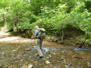
We knew we had to be close so we started scrambling over other creeks and ridges that weren’t on our map. On the bright side, we got a lot of good exercise in today. Once we got up on a point of a cliff that dead ended on all sides with a bramble patch preventing us from heading inland to the falls. I had everyone take a break while I pushed through. I could hear people ahead so we were almost there. Everyone reluctantly followed me through and we made it out to a really nice trail like we were expecting.
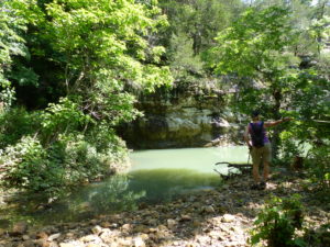
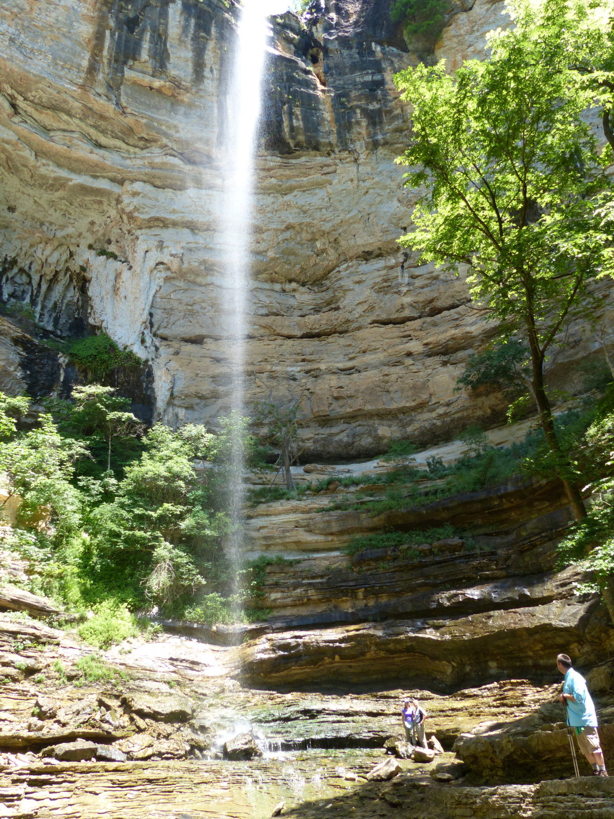
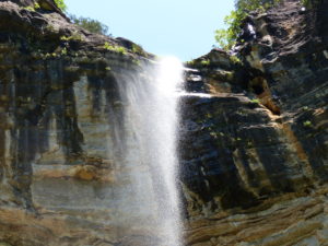
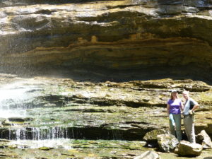
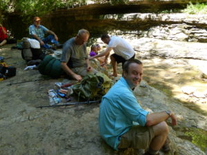
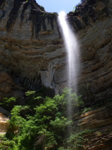
We went on back to the falls and were duly impressed. It’s a boxed in canyon with the highest waterfall between the Rockies and the Appalachians. After we ate and watched some rednecks try to kill themselves scaling the canyon walls, Pam said let’s get out of there before someone gets hurt and she’s forced to help them. We followed the nice trail all the way back to Sneeds Creek. What the maps didn’t show is that we should have turned left at the creek before crossing. Lesson learned.
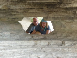
After a short nap in camp, I talked everyone into walking out to the Goat Trail again. This time, when we went out, there were lots of people on the shelf. I talked to a couple of guys that said the trail went all the way down to the river, but I couldn’t get anyone to follow. I went ¼ mile by myself and everyone ditch me except for Pam (as I’ve said many times, she’s a keeper). She didn’t follow me, but stayed back yelling words of encouragement—“Come back. You’re going to fall! I’m going back if you don’t turn around. Curtis John Himstedt you turn around right now!” (Just because she’s a keeper doesn’t mean she can’t be annoying as hell at times.) The most embarrassing part of her yelling was all the teenage girls that were further beyond me—their mom’s weren’t yelling at them.
There were some young guys camping out on the ledge by the rock portal leading out. When we got back in camp, George and Karen were already starting to boil water for supper while Brad was smoking a cigar and supervising the situation. With all the food, we had more than we could handle so we offered our leftovers to the father and two kids. The dad was not too proud to turn it down. All they had brought were cans of food (presumably beans because hammocks went up tonight).
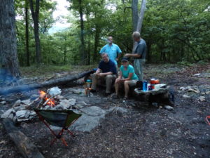
We finished the night with a campfire, popcorn, wine, bourbon, s’mores, and M&Ms. This is not a calorie burning trip. Brad and I burned the fire down again tonight. The clouds were rolling in as we went into our tents.
