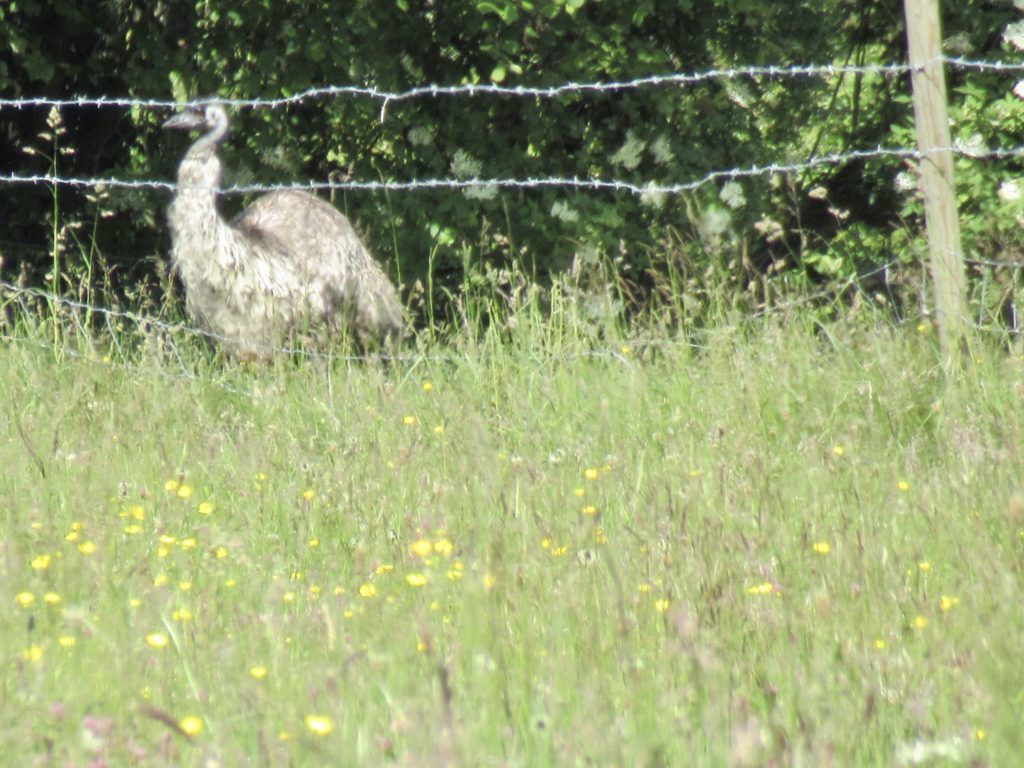
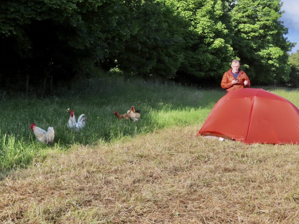
It was a generous gesture for Sarah to let us camp in her field. We were safe and legal for the night. It just wasn’t peaceful. The traffic on the road never really stopped. Bear got up about 2:30 and alerted the crows in the treeline to his presence. They started cawing and swooping over the tents until they woke up the roosters. Once the roosters were going, it was farm-bird free for all. The guineas started. The ducks got going. The emus started their insurance sales pitch. And the damn roosters kept up a regular annoying call which sounded to me like “I want to die.” I wanted to help them. It was barely 4a and the sun was up.
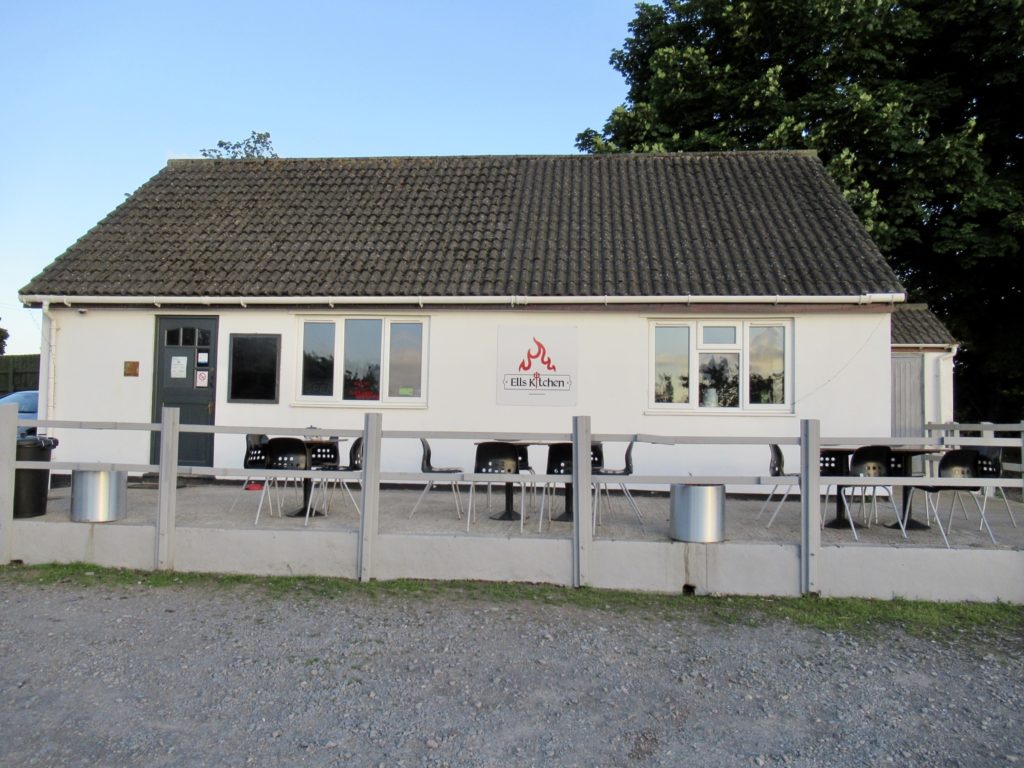
Ells Kitchen was surprisingly good. We went in the minute the doors opened. This breakfast was the best value for the meal we’ve had on the Cotswolds. I tripled up on caffeine to make up for the traffic and bird cacophony which was still going on when we went inside. When we came out, the birds were finally tired and quiet for the first time in 5 hours. This might explain my dislike of eggs.
It was a scorched earth between us and Bath, meaning no cafes at all along the path. Not even the hint of one. This will be our most remote day of travel since arriving in England. I felt just like the men of the Iron Age when they took a chance to settle this area. Their number one concern, as ours, was exactly the same—Where will we be able to get a cup of coffee today? The optimistic fear of the unknown.
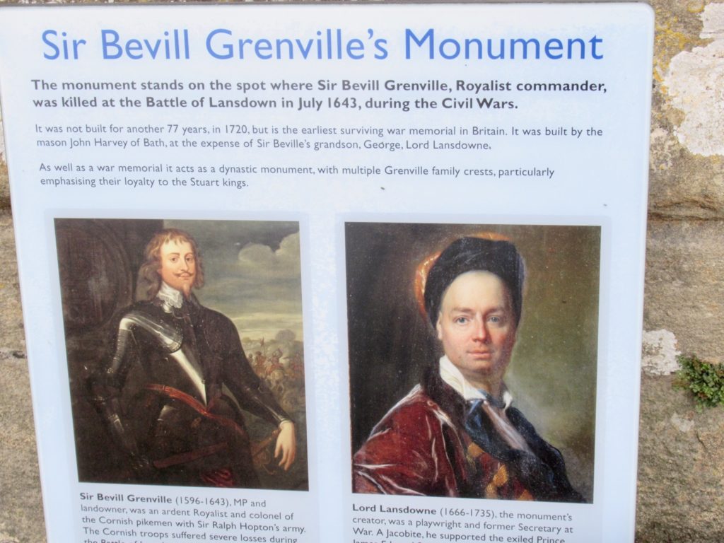
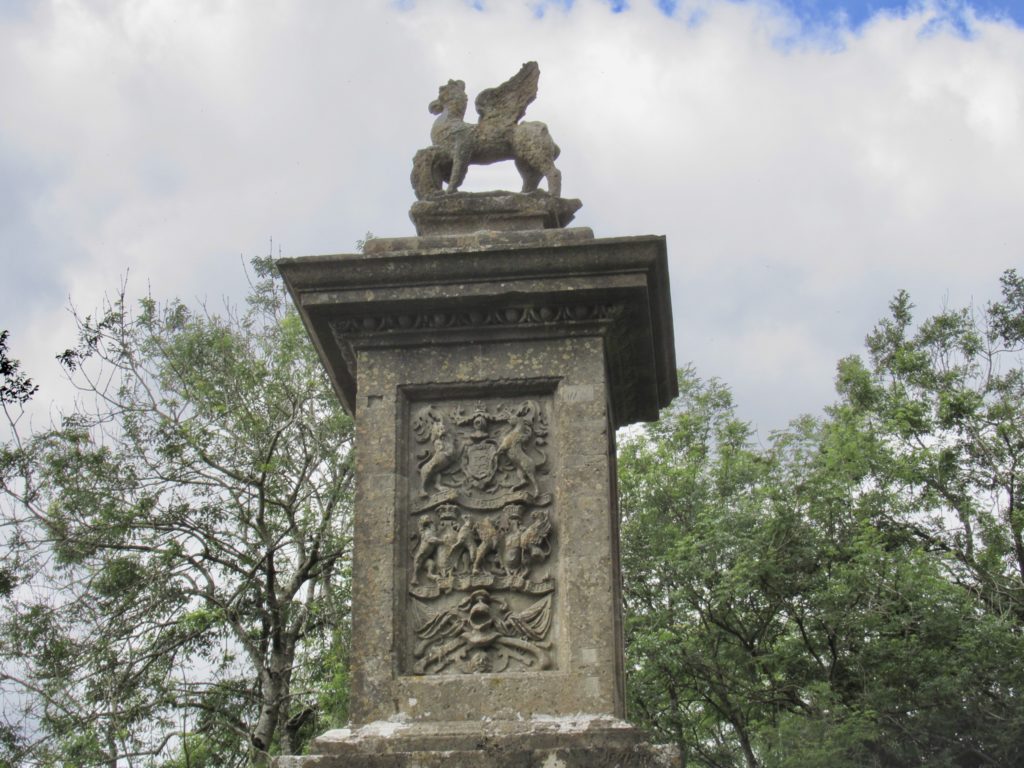
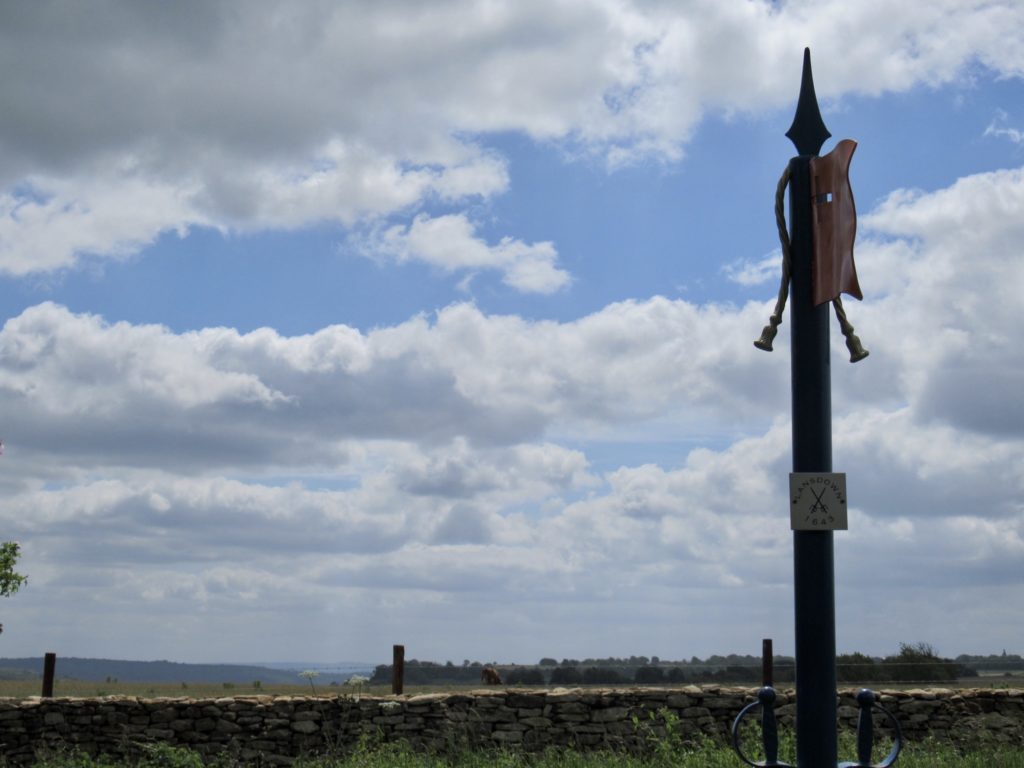
The main historical note of the day was passing the site of the Battle of Lansdown. This was a battle from the English Civil War where two friends leading opposing armies met in battle. Unlike previous battlefields we have encountered, the sheep have not taken this one over. This one marks the rise of the cows.
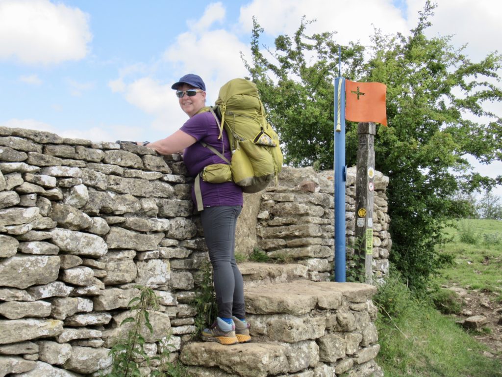
The wall surrounding the battlefield is the actual wall that was in place at the time. There is evidence of canon impact in it as well as repaired sections which were taken down so the canons could be moved onto the field. I’m not a fan of war. It’s always weak minded people being led to the slaughter so some narcissistic prick can consolidate power, get more money, and/or get laid more. Sometimes it’s necessary to fight back against assholes like Hitler or Putin, but it’d be better if we chose decent people to follow in the first place and avoid all the useless killing.
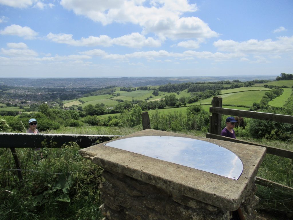
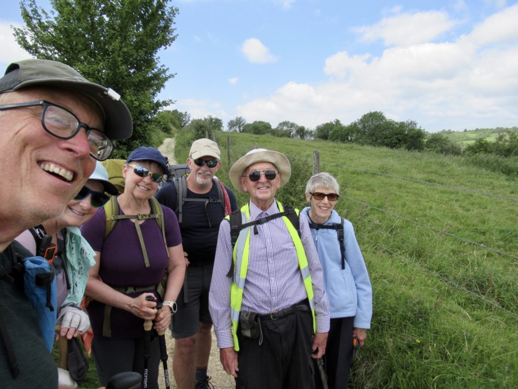
Since this is the last day of our hike, it is really just a town day to Bunny. Like all town days, it’s virtually impossible to keep up with her, let alone get her to take a break. We did manage to convince her to eat a snack at a toposcope (compass at viewpoint). We thought there was a bench present and made a lot of noise and complaints when we didn’t see it. Sadly, there was a man from Bath that had hiked up to enjoy a quiet lunch on the bench directly below where we were complaining about the lack of the bench. He got scared enough that he got up and offered us the bench saying he had to move on. We half heartedly apologized as we were sitting down.
It was less than a mile to the edge of town after the bench break. As soon as we hit the streets, there was a coffee shop, but 75% of our group did not want to stop for a drink. I was not in the majority. When we walked past it, I knew there’d be hell to pay for ignoring the offer from the cafe gods. I was right.
Bath is a city in a valley surrounded by hills. The limestone hills around the valley filter all rain water and pushes it into underground reservoirs. The weight of the limestone on the reservoirs compresses and heats up the water and pushes the heated water out of open fissures in the valley. The whole process takes about 250 years from rain to hot tub. This is the source of the hot water for the old Roman Baths (and the modern spa). This is a roundabout way of saying, there are lots of hills in the area.
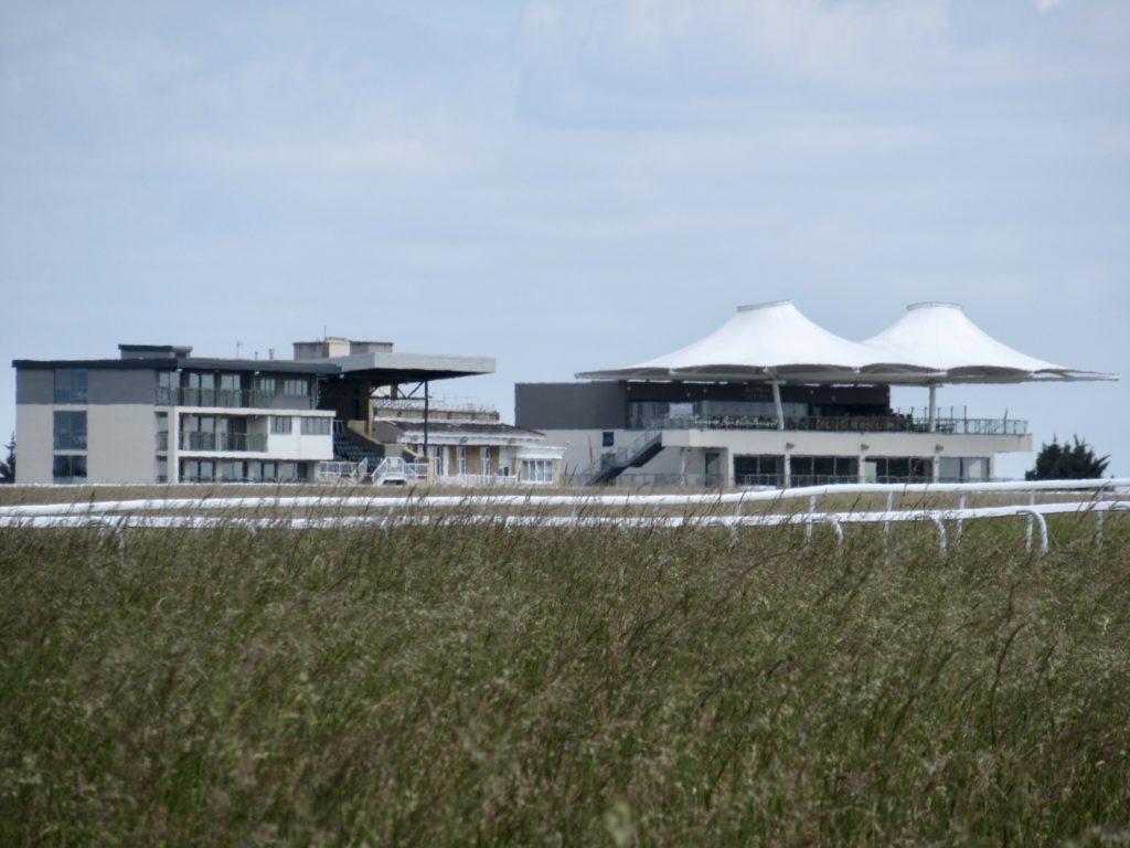
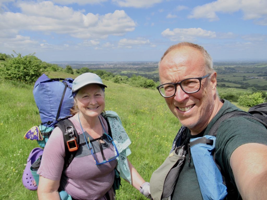
Just because we entered the city doesn’t mean the hills stopped. I’m sure there is probably a route through the city that we could have taken to avoid climbing again. That route was not the route chosen by the trail designers. Their goal was to take us around town and slowly reveal the historic items to us one at a time without ever revealing the end of the trail which is at the Bath Abbey.
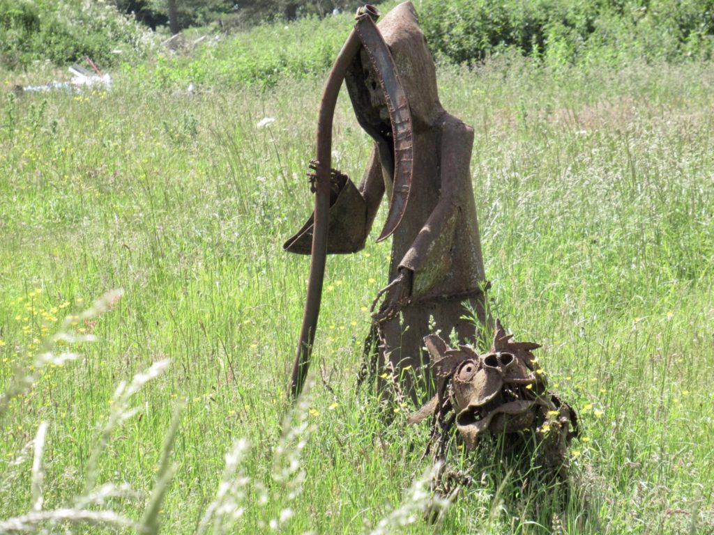
Our route was through narrow alleys, hidden stairs, and steep climbs which hid the valley from us at all times. We got to experience why public transportation is so appealing to the workers of old Bath. It’s a climb in and out of the city.

After the final ascent of Everest, we knew we were getting close when we could see the Royal Crescent in the distance. First we had to cross one more golf course (sans sheep) and skirt along the edge of Royal Victoria Park. Being a Sunday and nice day, the park was packed.
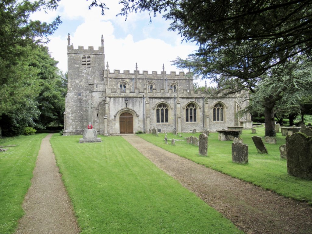
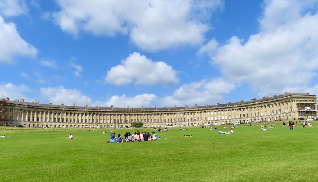
The Royal Crescent is one of the most exclusive residences in Bath. Reportedly a few A-listers have places there now. In the past, Nicolas Coppola (Cage, trying to avoid claims of nepotism) had a place here. John Cleese and Johnny Depp also one lived in Bath, but not sure exactly where.
Immediately past the Crescent is the Circus. It’s not of the Ringling Brothers variety, but it is a rather exclusive roundabout with a tree filled median and lined with more stately, overpriced residences of which I’ll never be invited to see the insides of (smart, rich, people).
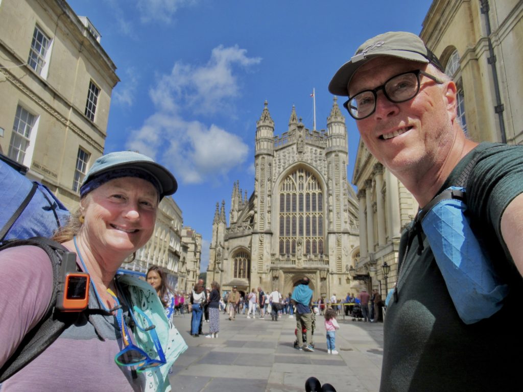
Leaving the circus, we enter the oldest part of the city center. We eventually wind our way through thousands of tourists to the Bath Abbey and Roman Baths. Even the Romans were relative late comers to the city having built the first Public Bathhouse in the 1st century AD.
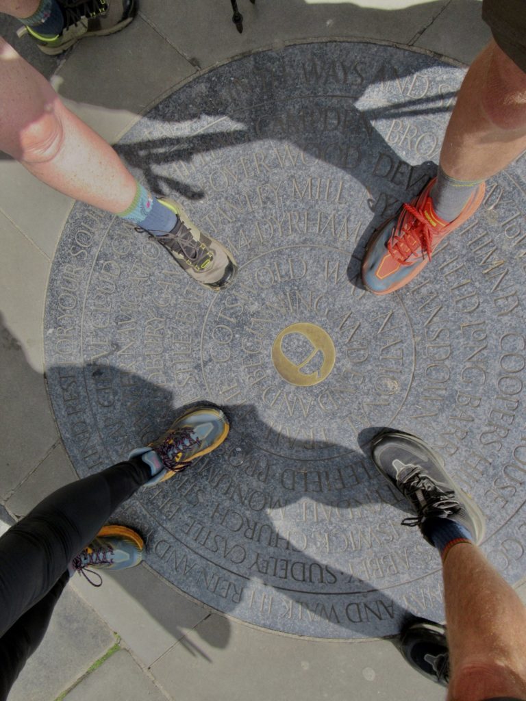
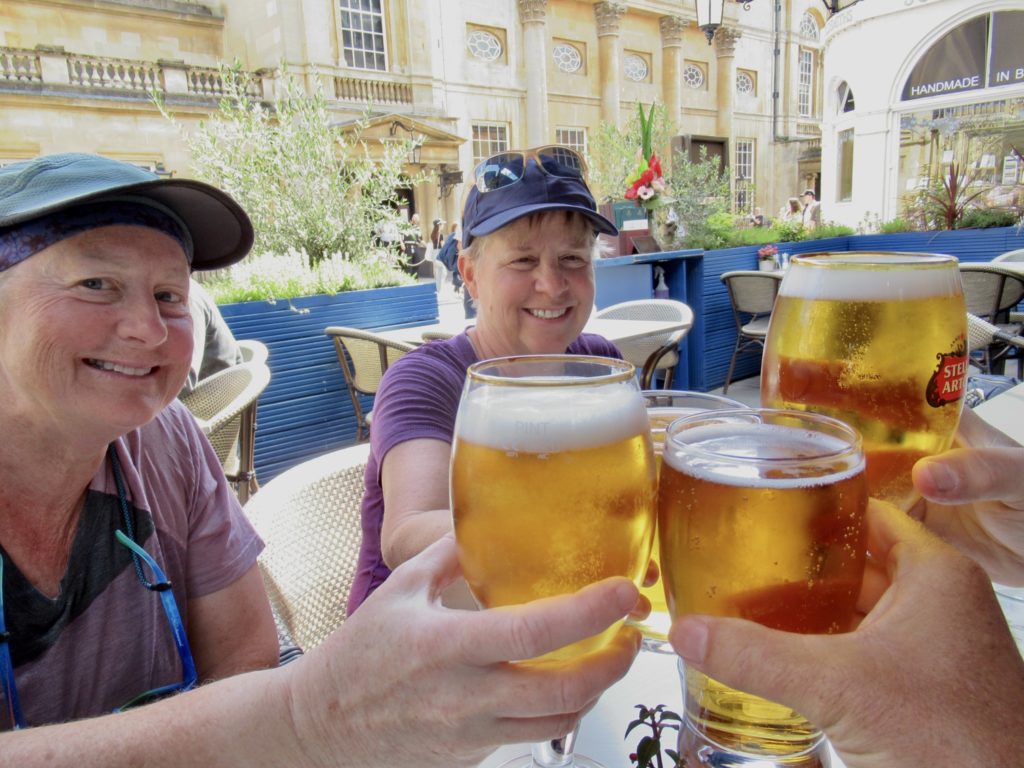
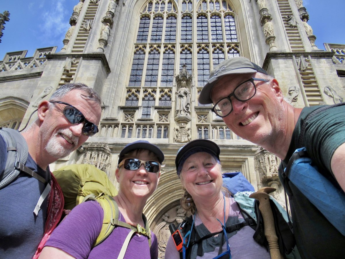
Today, Bath is a UNESCO World Heritage Site and vibrant city of 100,000 people. Everyone who is anyone since about the 16th century has been to or visited this city. Most importantly, though, Bath is the Southern Terminus of the Cotswold Way. We fought our way through the crowds to the mosaic in front of the Abbey to document the end of our journey. Now how about a beer for the effort since we skipped the last cafe?
We will spend a couple of days in Bath before heading to Ireland for the Kerry Way (Bunny and me) and the Dingle Way (Bear, Sassy, and their youngest son).
Like the Tahoe Rim Trail, the Cotswold Way was not what we expected, and like the TRT, we didn’t know what to expect. There was much more hiking in forests than we anticipated. The terrain was also more varied than we had in mind. Although there are no climbs over 800’, there are multiple climbs daily and often times quite steep.
I suppose we thought we’d be walking on top of the Severn Escarpment passing through several quaint villages every day. We did hit our daily average of 3 charming villages, but those villages were not on the escarpment, but down in the ancient flood plain. The villages and charm of the English countryside did not disappoint.
Wild camping is frowned upon in England. Frowned upon to the point that it is “illegal”. The English have found a way to make what should be an affordable pastime to ALL citizens into making it a rich man’s activity. We are lucky that we have the means to modify our hiking type to be compatible with the English rules (most of the time). Truth of the matter, the English do not have a culture of long distance hiking like we do in the USA. They just don’t have the huge forests and expanse that we have. What they do have is a well developed infrastructure for walking and a citizenry built around politeness and empathy.
The few cases of snobbery we encountered were not from long time residents of the Cotswolds. In fact, to the last person we encountered, we were made to feel welcome. Even if a hostess may have had a bad day, she was not unwelcoming. The only instances were probably with the nouveau rich which in this area, more than likely, was their 3rd or 4th home.
Bunny and I both love England and would live here if it was in our means. I would miss the huge forests, though (and probably the preservatives in the American diet that have modified our taste bud expectations). The appeal of simple village life has a huge pull. England has over 20,000 villages, often just a couple of miles from a neighboring village. There is a huge emphasis in walking, outdoor living, and beer drinking at the end of the day of walking. Plus, dogs are welcome everywhere.
EFG
My sister and I were in Bath back in 1992 on our first trip to Europe. A stop there was part of a bus trip that also hit Stonehenge and Salisbury Cathedral. I remember seeing the steam come up from one of the open baths – it was a rainy, cold day in June.
I brought home a rock and later gave it away to a friend who always dreamed of going there.
Thanks for sharing.
This is my 4th time in Bath. It’s my favorite city in England.