The wind howled a good portion of the night, so we were very thankful for the refuge still being open. We got up and had breakfast at 7:30–could Pam be serious about early starts on this trip? We were on the trail by a little after 8.
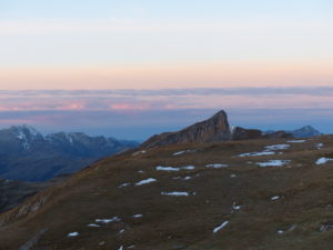
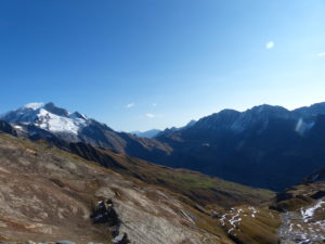
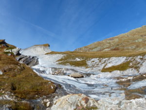
When we walked out of the refuge, the first thing we noticed (other than our noses sticking together with each exhalation) was that the mud was no longer mud. It was frozen solid. There was ice in what used to be puddles. It was “crinkly” under foot, but stable. We only had about 700′ to climb to get to Col des Fours at a little over 8700′. We thought we were making good time until we turned around.
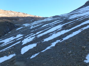
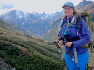
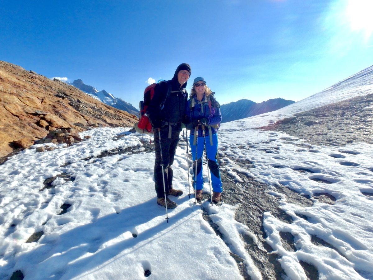
David and Michelle were still cooking their breakfast when we left, so we figured that we would get a good jump on them. We had to have at least a 20 minute head start, but here they were right on our heels at the pass. We all arrived about the same time. It was a clear, crisp morning with outstanding views in all directions. There was still snow on the trail from the “freak” snowfall of last week. They decided to drop their packs and take a side trip up to the peak of Tete Nord des Fours with an altitude of just over 9000′–on a clear day (like today), you are supposed to be able to see the Matterhorn. The book says it’s only a 40 minute round trip, but Pam and I didn’t have the extra 2 hours to spare.
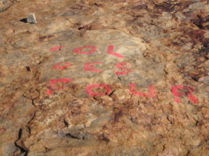
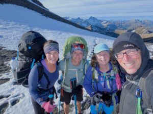
They headed up and we headed down. We kept looking back to check their progress. We couldn’t believe it, they were already on the summit and we were barely down the trail. When they caught up with us again, they had seen us when they dot to the top and said they couldn’t believe it, they were already at the summit and we had barely moved–geezers!
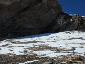
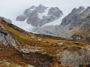
Just like all French trails, no height is achieved without the payback. In this case a 4500′ climb down to accentuate our next 4000′ climb up for the day. It started out on loose scree and snow but once we dropped the first 1000′, it became an enjoyable walk. They nearly caught up with us in about an hour (after their 40 minute side trip), but they were so embarrassed for our slow pace that they decided to take a break to not completely humiliate us.
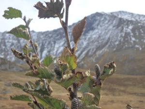
At the bottom of the decent there was a fromagerie next to the parking lot. Last night, at the refuge, they had served some local sheep cheese that Pam really liked and here we were at the source. I made her go get it while I sat and let my ankles recover a bit. While she was inside, David and Michelle showed up and got some as well. We all congregated around the bathrooms in the parking lot (surprisingly, this is not as disgusting or as weird as it sounds–the pursuit of porcelain is a universal endeavor among backpackers).
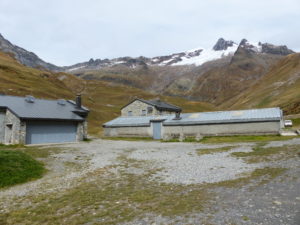
They decided to have a lunch break in the parking lot while Pam and I decided to head up to the next refuge (about a mile away) in the hopes of finding a seat out of the sun and wind. We were all heading into Italy tonight towards Rifugio Elisabetta. We did find some nice places to sit at the refuge and they passed us once again just as we were finishing up.
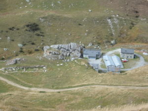
Generally, the guidebook for the TMB is pretty well written and gives us information on attractions off the trail and some history of the area, but this time I couldn’t believe what I was reading: “On this stage the TMB crosses out of France and enters Italy at the Col de la Seigne, one of the easiest crossings of the circuit.” Whiskey Tango Foxtrot–I’ve got to climb over 4000′ for one of the easiest crossings, we might have some issues on this trail.
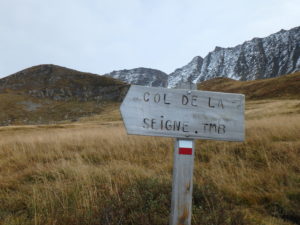
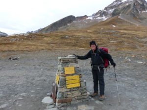
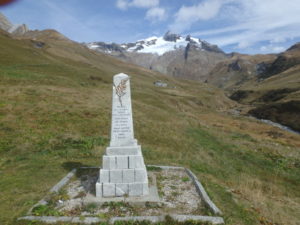
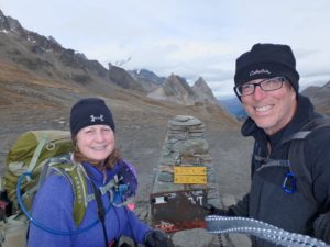
Actually, the book was right. The French had done something extraordinary on this section, actually, it was local farmers who had fields higher up and needed a road for their equipment. Whoever did it, we much appreciated the correct installation of switchbacks almost all the way to the top of the pass. It took us longer than the book suggested, but not by much. When we got to the top it was cold and windy once again, but for the second time in a single day, we had hiked higher than we did on the entire GR10. Not only that, we were in Italy, and we walked here!
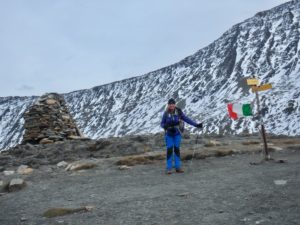
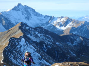
The path down was not as easy to follow as one might hope. It was actually an undefined series of tracks all leading down–just pick one and keep going. In a few minutes we came to a small building that the Italian government has set up as an information center and museum on the preserve around Mont Bianca. We were hoping for some coffee, but it was closed. We can’t catch a break.
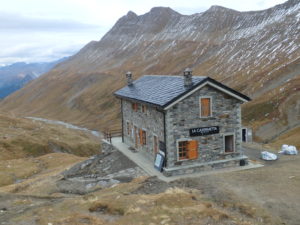
The walk into the refuge was along an old military road that Mussolini built up to near the border with France. I don’t know if this road actually saw any action during the war, but I do know from past experiences of walking along old military roads that they tend to be utilitarian in design and not for comfort of the walker. It killed my already tired ankles. Even though it was less than 3 miles from the pass, it felt like forever to get there.
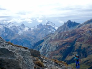
When we walked into the refuge, we were amazed by it’s size and how nice it was. This was the largest and nicest refuge we had ever been in. When we walked into the dining room, there was couple discussing gravity vs the concept of gravity–I always like a nice philosophical discussion, but I’ve learned to never enter an argument unarmed and these two were way better armed than I was so I just got a beer instead.
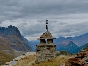
They ended up joining us for dinner, part of the segregation of English speakers and Italian speakers. They were a very nice couple from Israel. They knew the three guys we had had dinner with last night. He has hiked both the AT and PCT as well as the Annapurna Loop in Nepal so we had lots to talk about. When we told them our plans, he offered up another suggestion of a trail for us–the Israel National Trail which runs north to south from the Lebanese border to the Red Sea. It’s best to do this in winter so it fits in well with our future plans. With our slow hiking pace this year, we are beginning to have doubts to if we are able to pull of 3 major trails back to back (AT, Te Araroa, and PCT) so this might be a good substitute for the Te Araroa until we have a bigger window of time. In any case, it has definitely made our list of trails to complete because the Bedouins will actually take you in and let you sleep in their tents.
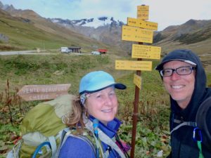
She speaks four languages (English, French, Spanish, and Hebrew) and I’m sure he speaks as many or more. He’s a philosopher so it was good for me that, at least one time in my life, I kept my mouth shut at the right time during their gravity discussion.
We got lucky again and got a small dorm room that normally sleeps 6 all to ourselves. The only drawback is that the upstairs bathrooms have been winterized so my nightly temperature checks will involve a bit more walking than usual. David and Michelle never did show up at the refuge, so we figured they went on ahead to get away from us–my magnetic personality never ceases to scare.
The pictures are awesome…did we mention we just got a king-sized mattress with cooling memory foam…Dan thought you’d like to know. It is raining lightly here today…the first rain in literally weeks. Fall colors may just be the brown.
If Dan is willing to carry the big bed on the trail, I think you would really enjoy the good night’s sleep on the trail. See you on the AT, then.
First of all, congrats on the GR10!! I was getting caught up, but comments were already closed on that post. Glad you won the award for SKT and are embracing it! You did it, and that’s the bottom line.
Second of all, glad you found insoles!!!
Third of all, TMB seems very exciting and I’m glad you disregarded the naysayers!!
Hope you can still get to NZ, but if time doesn’t allow, you are right there are plenty of trails out there!!
New Zealand is on the books for fall of 2018 after we finish the AT. Depending on timing and our speed, we may switch trails around next fall but we’ll make that decision once we see how we handle the AT