We were awoke by the sound of cow bells right outside the tent. I looked up to see a cow silhouette on the side of the tent. As soon as I reached for my camera, she heard me and booked down to the stream. We are apparently camped on their normal morning path and they couldn’t figure out what the two tents were.
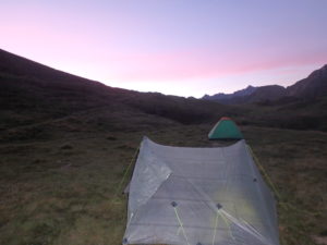
The clouds had broken up during the night. Of course, I discovered this when I got up to pee. Since we were camped around 6500′ and there is no light pollution up this high in the Pyrenees, I had an amazing view of the night sky. This was the brightest I’ve ever seen the Milky Way (even when I worked for Mars).

Since we were so high, it was still quite cold when I got up. Not Pam, she stayed in bed until she had hot coffee to entice her out from under the quilt. When I scared the cows out of camp, they took revenge by crapping in the stream causing me to have to climb upstream to find water that wasn’t brown.

We ate in the tent to avoid the cold. By the time we were done eating, the sun was full on our tent drying everything out. We broke camp and were on the trail by 9:20–I don’t think the French trio was more than 10 minutes behind us.


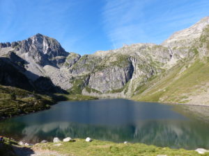
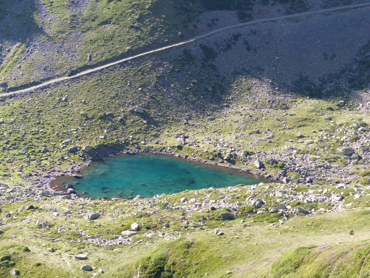
We made our way down to Lac d’Ilheou and the refuge there. We ordered coffee and crepes for a second breakfast (if was a tough 20 minute walk). As soon as we placed our order, people started coming in from every direction. The French trio from Paris were first in, but everyone who had camped on the lake made it up to the patio. Then people started coming in off of the trail from town.


When we left around 10:30, there must have been well over 100 people walking up the dirt road to the refuge. Since we are purists, we took the trail that ran above the road. We only ran into 3 other people all morning while hiking on the trail. One couple had seen us yesterday at Lac d’Estaing and talked to us for a while.

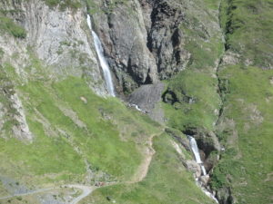
We dropped over 3700′ over 6 miles down to Cauterets. We were trying to make it in town by early afternoon to do some shopping (more ibuprofen, new inserts for our boots, food, cooking gas, etc.) so we tried not to stop much. We only took one short break to have a Snickers bar.
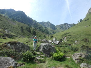
After the break, we kind of lost the trail. It felt like we were on a cow trail instead of the GR10. We saw some people on the road below us waving and asking for help in French. We decided to abandon our track and scramble down to the road to see what was happening.

They only spoke French and we only spoke English, but we managed to convey we were all lost. They were hiking the Cauterets’ loop and lost the trail just like we had lost the GR10. They didn’t have a map, but we had our guidebook. Once we looked at it, he was able to point out the turn we missed and then they were going to hike back into town on the same path with us.
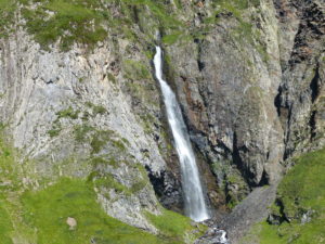
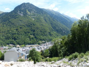
About 30 minutes later, we all met back up in town. We didn’t know where anything was so we found a map and started heading toward the visitor center. On the way, we actually found a couple of grocery stores, an outfitter, a pharmacy, and a restaurant–turns out we didn’t even need the visitor center. We had accomplished everything we wanted to just heading towards them. After lunch (turns out I’m not tired of pizza), we headed to the visitor center to see if there was a laundromat and a cheap place to stay in town. They directed us to a very reasonably priced gite that does laundry, so our day is complete. The only thing we have left to do is wander back to downtown and have a few beers while we listen to the free entertainment provided in the plaza.

Cauterets represents the 1/3 point of the GR10. Our guidebook says we should be here after 16 days of hiking, but as you can see from the heading, this is day 27 for us. I’ll provide some stats of what we’ve done:
4 Zero Days (no hiking)
192 miles of trail hiked on the GR10
52,640′ of elevation gain on the trail
49,135′ of elevation lost on the trail
(That’s like climbing Everest from sea level to summit twice and almost being back to sea level)
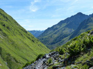
We are now carrying way more food than we need, but we don’t want to be caught short again. We do have two five day stretches coming up where we won’t be able to purchase any food, so we might as well get used to carrying the extra weight.
I suggested to Pam that we might be experiencing the “Virginia Blues”–it affects AT hikers when they get into VA after about 700 miles of hiking. She informed me we were in France. To date, we have officially hiked 186 miles on the Pembrokeshire Coastal Path in Wales, 575 miles on the Camino Francais across Spain to Muxia and Fisterra, and 192 miles on the GR10–we have actually hiked many more miles than that, but these are the “official” trail miles. That’s a total of 953 miles with fully loaded backpacks at all times–no bikes, no cars, no taxis, no trains, no piggybacking–actual hiking. No wonder I need a beer.

It looks like you guys are having an experience of a lifetime! Thanks for sharing it and letting us live the adventure through you both. Best wishes for a continued glorious adventure!
Thanks Cathy. You’ve got a new adventure yourself with that beautiful granddaughter. Love to all of you
Hmm it appears like your website ate my first comment (it was super long) so I guess I’ll just sum it up what I had written and say, I’m thoroughly enjoying your blog. I as well am an aspiring blog blogger but I’m still new to everything. Do you have any points for novice blog writers? I’d certainly appreciate it.
Just write and enjoy. We’re new to this as well