Gourette been berry berry good to me.
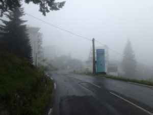
We left the refuge before 9 even though it was still foggy and lightly misting (after a full night of rain which validated me spending money on a refuge). That was the highlight of our hiking day–the illusion of an early start.
On the way out of town, we found another market which had items we wanted but couldn’t find yesterday–another 4 pounds in my pack. We also stopped to get more cash so we wouldn’t have to worry about money again. Since we were at the cash station, we were right next to the crepe store with good wifi, so we uploaded yesterday’s blog. Then one last porcelain break–bottom line, we started hiking about 10:30. Pete, so much for your early start.

A new trend was started today, and not a good one. Pam noticed trail markers that I didn’t see. She actually found the way out of town (almost) that I had missed. As we came up a back set of stairs, I got sidetracked by finding the local cinema and wanted to see what was playing. That’s when we lost the trail for the first time today.
Let’s just give a rundown of the day then fill in the details later: 3 high passes crossed with no views because of fog (we were only supposed to only go over two passes); 2 instances of lost trail leading to an extra mile and a half of walking (and an extra pass crossed); a rerouting of the trail which wasn’t in the guidebook which added an extra 100m of descent (and a corresponding 100m of ascent); a missed turn into town which required additional backtracking; and roughly a mile of walking in muddy cow shit (pardon my French, but I’m becoming tri-lingual). So much for a supposedly easy day of hiking on the GR10.
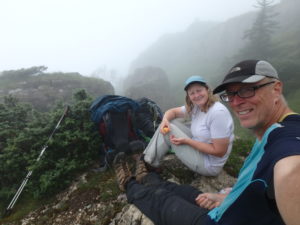
By the time we realized we weren’t on the trail the first time, we had already gained nearly 100m (328 feet) of elevation which we had to retrace. By the time we got back on the trail, it was 11–we might as well have slept in and done it right the first time. I guess we were just foggy from lack of sleep.
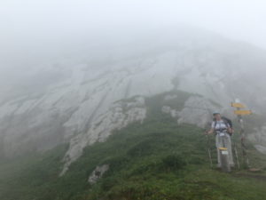
As we were climbing the 1400′ up to our first fogged in pass, we met an American from Seattle coming down. Kurt had been at the pass for over an hour before he got a few clear minutes. He was kind enough to show us he photo of what we probably wouldn’t see because the fog was much thicker now.

Sure enough, no sun at the pass even though we waited 15 minutes for it to show. On the way down, we met a Parisian who was 1/2 American. Victor lives part time on Corsica and works in Paris. This was his first day on the trail and he claimed to be feeling it even though he had already hiked in 6 hours what it would take us 9 to do.

As we descended to a road crossing, a car pulled over on the shoulder. Kurt got out. He just happened to be driving on to Arrens and saw us on the shoulder. He was kind enough to offer us a ride to town. Pam wanted to accept because we weren’t going to be able to see anything today with all the fog. I didn’t come to France to hike MOST of the GR 10.
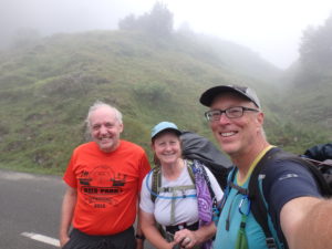
It was right after Kurt left that we discovered the rerouting. We can only guess that the trail had been rerouted because of the Tour de France having passed through this area. Almost every sign was laying on the ground and the blazes were freshly painted. If it wasn’t the Tour de France, then there’s a farmer that doesn’t want hikers on his land and is sabotaging the route. Add another 100m down and up. Did I forget to mention it rained all night? And the rerouted trail is through heavily populated cow pastures? And that the cows have evidently been eating well as indicated by the volume of pies on the trail.
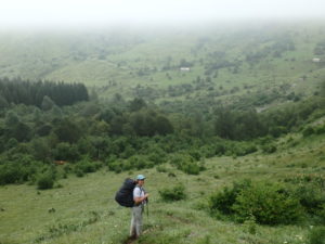
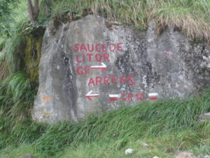
Once we got back up to the road, we still had another 650′ of climbing to get to our second fogged in pass. This is where the earlier trend repeated itself. Pam and I interpreted a trail sign differently. The way the sigh was positioned was piss poor. I interpreted the arrow pointing to Arrens as pointing down the hill and the GR10 stayed on the road. Pam said the arrow pointing to Arrens indicated a slight left and the GR10 went down the hill. She was emphatic which convinced me all the more that she was wrong–we all know her sense of direction.
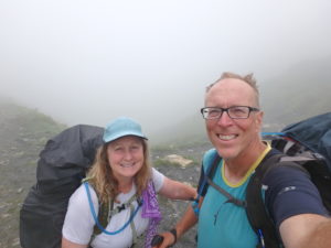

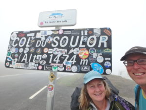
I’m only saying this once in writing–Pam was right, I was less right (the sign was ambiguous). But if it makes her happy, I was not right. Some (me not being one) might even say I was wrong. It’s a fine line, but this is how we went over the third fogged in pass of the day. Fortunately, there was a restaurant at this pass so we stopped in for coffee and cake and a restaurateur who is part of he aforementioned “some” who would say I was wrong and Pam was less wrong. (See, we just can’t get a consensus on who was right and who was wrong).

Retracing our steps through another healthy cow pasture and gaining back the 250′ of altitude we had lost, we finally got to the sign that created the problem–I might be willing to say Pam was right and I was wrong if there’s even one male reader of this blog that says so.
We still had 2600′ to descend into Arrens–a lot of it though, (any guesses?), yes, healthy cow pasture. When we did finally escape the “nutrient rich” trail, we found ourselves on a knife’s edge ridge. On a normal trail, I know if I fall (which I have), I can always change the direction of my fall to the upside of the trail. On a knife’s edge, there is no upside–just falls to death (in my mind since I am terrified of heights) on either side. I was nervous. Ironically, this is the one time Pam was perfectly at peace on the trail–I’m sure she was anticipating a large check from an insurance company.

The rest of the way was just a muddy slog into town. Arrens is another beautiful village which might even surpass Lescun on my list of favorites, so I’m not picking favorites any more until we finish the trail. Here’s where the missed turn comes into play. The GR10 doesn’t actually go into town but turns on the edge. There’s a huge X on the trail which leads to the road into town. We walked another 1/4 mile before realizing we were heading past Arrens. And what direction do you suppose we were headed? If you said “up”–ding, ding, ding; you win.
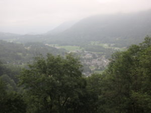

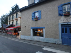
We backtracked once again and eventually found our way to a wonderful Gite (Maison Camelat) in the center of town–it was almost 9:30. We interrupted the owners’ supper, but they showed us to a room and pointed out a restaurant to us. They must have seen how miserable we felt because they said we can stay two nights if we wish.


Are you aware of bears there? One chased 209 sheep over cliff.
There are 22 bears in the Pyrenees Mountain range–that’s 1 bear bear in approximately 1000 square miles. Sheep are stupid, shit everywhere, and deserve to die. One probably got scared and ran the wrong way and the rest followed.
Let me know you received. Can I text to xxx-xxx-xxxx?
I don’t recognize the number you asked about, but feel free to text to it. I’m sure someone will enjoy getting a text.
I think that’s the number you gave me for inreach.