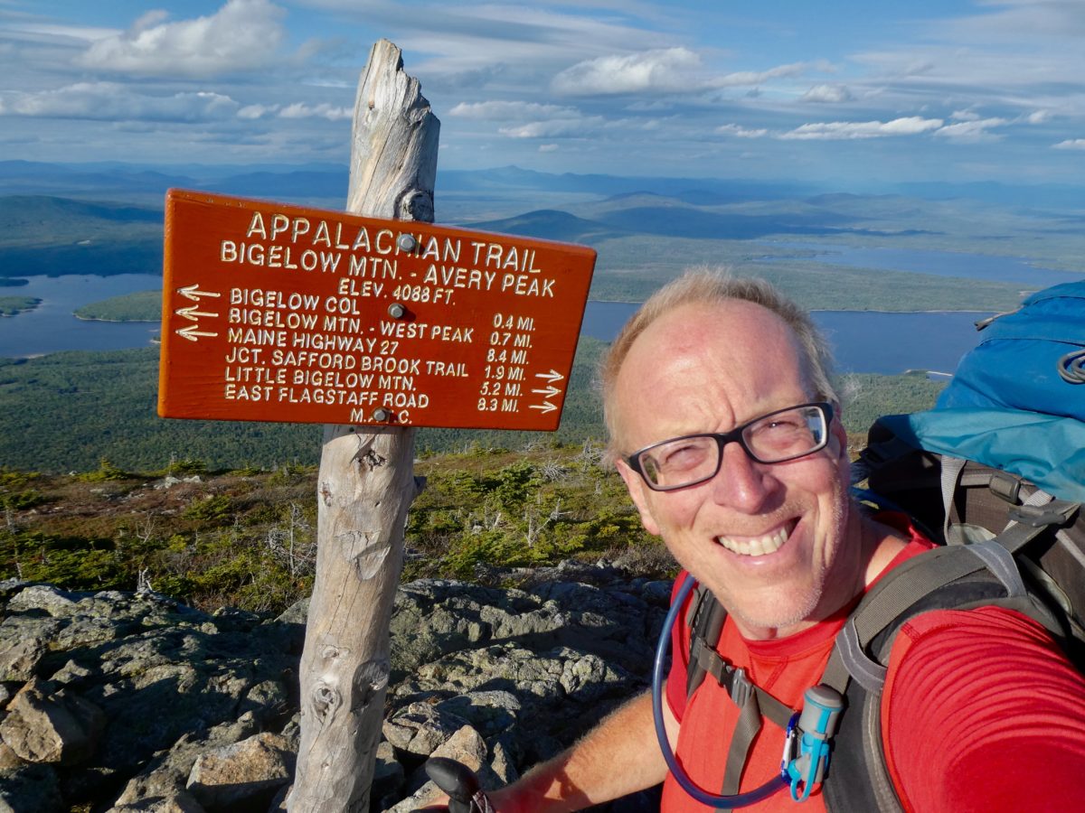
Breakfast at the gas station again. We took our time and bought plenty of hemp-bombs since they really seemed to help us sleep and recover. We tried to get GCN to join us, but he remains adamantly opposed to non-FDA approved hippie botanicals. It’s hard to believe the virgin pure crowd we have hooked up with. Stickers, Mizman, Mule, it’s a different world in Maine.

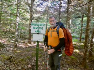
Even with our leisurely morning, we managed to be trail side a bit past 9. Maine seems like it might be a little schizophrenic—pot is legal, but you can’t sell or buy it. It can be given as a gift. Even the trail announces itself as a management free zone. Bear and GCN are both a little concerned since both have spent large portions of their working lives being “the man” at work. Chip managed a public works department in his hometown and Bear was all over the place in NASA managing projects, sub-contractors, departments, and setting NASA policies. If ever there was a “man” on the trail, it’s Bear. The AT tries to maintain its laissez faire stance towards hiking but these two might be diametrically opposed to the hands off approach.
Not too long after we start hiking, we encounter another 2000 mile marker, but this one looks official. I am certain that this one is at least 4 miles past the actual point. If we got 2000 miles of credit for every sign we passed, we’d be well past 8000 miles now. The discrepancy is easily explained, the portion of the AT in the south is constantly improving the trail adding switchbacks and rerouting the trail every year. The New England section is carved in stone, for the most part. At least the portions under the Green Mountain and Appalachian Mountain Clubs who oppose doing any rerouting from the original routes. The Appalachian Trail is ever growing in the south. When the trail was “finished” in 1939, the overall length was 2040 miles. This year, the trail is 2190.9 miles.
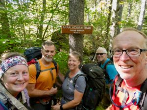
This is our first day of real backpacking in nearly 10 days. We have spent 8 days of slack packing with one day off. Our bodies have recovered from the grind of the trail, but, speaking only for myself, my body has also forgotten what it feels like to hike with 40+ pounds on my back. I’m a bit winded. Even Bunny is racing ahead of me.
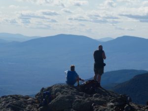
It’s a pretty neat trick that the AT pulls on us today. We started hiking around 1200’ above sea level climbing to an elevation just slightly above 4000’ but in order to accomplish this feet, we have almost 5000’ of climbing. I think GCN’s knees are hurting him a bit as he is back with me when he’s usually out front. Bear, Sassy, and GCN rarely complain about anything, though. They leave the whining and crying to Bunny and myself. We have to carry the load for 5 in the complaint department—our work is never done.
Many times I’ve been asked what is your favorite state along the AT. Up until the last week or two, I’ve always tried to be diplomatic and say each state has something special to offer and it would be like choosing your favorite child . Since I’ve entered Maine, I have unequivocally decided that Maine is the most beautiful and my favorite state. Since I’ve come to this clarity, I’ve also decided which of my children I like the most—it’s Ilana, without a doubt. The only common thread is that Maine is the last state and Ilana is my youngest meaning the most recent is the favorite. Since Bunny, Sassy, and I are all the youngest in our families, it only stands to reason that we are also the favorites (sorry you had to hear it this way big bro).
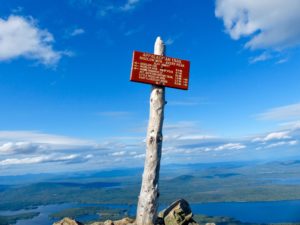
Unbeknownst to Chip and I; Bear, Sassy, and Bunny had decided they were going to take a break at the peak of North Horn. Since we were unaware and a bit behind, we decided we needed to stop for a snack. We tried to call and text ahead to find out, but cell service was not universal. Chip did have a signal, but no one else did. It had been almost 7 hours since our breakfast and I couldn’t go on. If I get too far run down between energy ingestions, I can’t recover until an extended rest (this often leads to arguments between Bunny and me because she can go longer between meals and snacks than I can, plus, if it’s only me needing food, it doesn’t matter). By the time we caught up with everyone at Horns Pond View (still almost a mile short of North Horn), they had been waiting a good 20 minutes and were ready to push on.
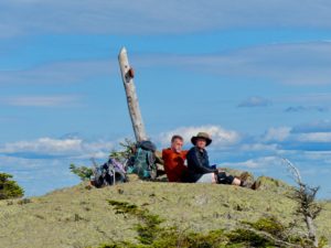
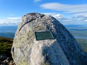
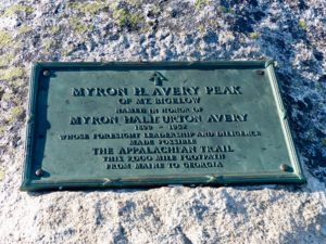
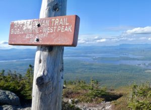
We did take in the views of Horns Pond below us before heading on. Bunny did slow down a bit to walk with me, but I was struggling bad. By the time we made it to Avery Peak (the last 4000’ peak before Mt Katahdin) Chip got a second wind. I momentarily caught up with Bear and Sassy at the peak, but they were not feeling any pain at all today and moving fast. While Chip and I were behind, we noticed the toll the trail was taking on our bodies. Bear and Sassy are at the equivalent point in their hike as we were at McAfee Knob. It became apparent when day hikers were passing us. At McAfee, we blew by day hikers even though we were carrying full packs. That’s how Bear and Sassy are doing now. We are on the downside of our strength curve after 2000 miles. Bear and Sassy are at the peak of strength at around 700 miles in. If they choose to, they could leave Bunny and me in their dust.
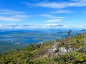
The target spot for the day was Safford Notch Campsite, a mere 2 miles after Avery Peak. I guess I should mention that it’s named in honor of Myron Avery, the driving force behind actually get the trail completed, unlike Benton McKaye who came up with the original idea. Avery was pragmatic and knew it was most important to get a path in place and then work on the details after it was established. McKaye was unwavering in how it ought to be which meant anything that opposed his vision was a stopping point. They often batted heads. Myron Avery was originally from Maine and is the favorite son up here.

We were all getting tired, some more so than others, so we started spreading out along those last two miles. I was in the caboose position all by myself (even Bunny couldn’t walk as slow as I was going). It was getting dark, the woods were thick, I was alone and down when a killer bunny with huge nasty teeth appeared on the trail in front of me. He hopped right up to the top of a hill in front of me and dared me to come on. There’s never a holy hand grenade handy when you need one. He stared me down for a minute before he decided I wasn’t going to bother him. He then turned around and headed back into the woods.
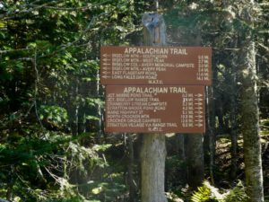
The camp was a good 0.3 miles off of the trail on a side trail. I was the last to arrive by a good 15 minutes. Bunny had a site all picked out and was waiting for me. I told everyone about the bunny on the trail and everyone had had the same experience with the killer bunny (except for Bunny who sees all rabbits as cute and adorable). As soon as we got the tent set up, I went to get water to filter and cook supper while Bunny did the homemaker thing in the tent. If I would have allowed her, she would have gone to bed without eating. As it was, it was pitch black before I got back with water. We were the last to get in bed well past hiker midnight at 9p.
EFG
