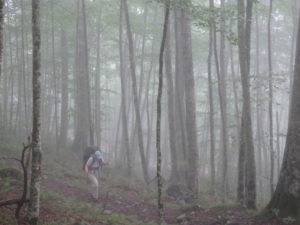
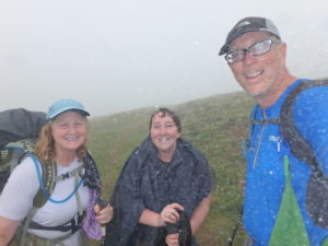
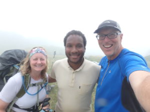
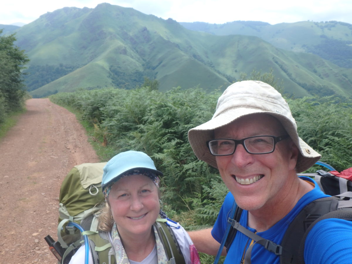
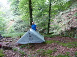
Day 19–Tuesday, July 18. Below Pic d’Ayous (11.5 miles)

I woke up at 7:09 and decided to be the leader that Pam refuses to be. I packed my sleeping quilt into its bag and gathered all the stuff to make breakfast. Pam stayed inside and packer her stuff up. With a cooked breakfast, we were all packed up and ready to hike by 8:30. Poop is a strong motivator.

Stated better, the motivation to poop is a strong motivator. Pam can and will go anywhere (it’s a little embarrassing when she goes between cars at Wal-Mart, but what can you do?). So far, I’ve only dug one hole on this trip and I hope to not have to do it again. It was less than 3 miles into Borce and 2400′ downhill, so it shouldn’t be too bad of a hike.
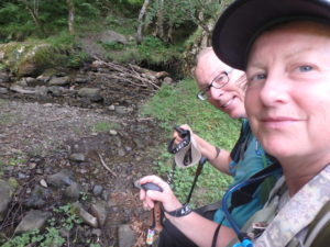
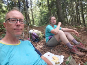
Only been walking 1/2 hour but we need a break–I wonder if this has something to do with our slow progress

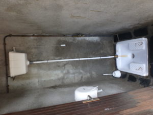
We were sweating like stuck pigs (whatever a stuck pig is) before we got there. The first thing we did was head to the public water closet in the town center. This was an Asian style squatter–I wish they’d give hand rails to hold on to, but it flushes–I was saved.
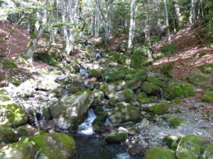
What is it about mountain streams that’s so appealing? The coolness of the air; the sound of falling water; the purity of the water; or just the location away from civilization

Borce is a cute little village as well. We walked up the Main Street and found a coffee shop/bar/shop/private home. We went in for second breakfast. We saw the local teens sitting outside, so we figured there must be decent wifi. It was the best we’ve had so far on this trip. We ended up staying over an hour updating the blog, checking email, scanning Facebook, drinking coffee, and eating yogurt (I’ve been worried about the low protein intake we’ve been getting). Except for the flies, France is great.

Borce was immaculate and charming
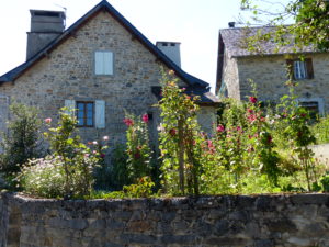
With a single street through town, every house becomes a postcard

A word about Pam and the flies. She is like a 2 year old that has learned a new word that goes with flies–f%@$ing flies. If I hear it once a day, I hear it 50. Normally she blanches if anyone swears, but she’s turning into a tooting, cussing woman around flies (yes, tooting).
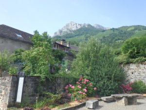
The common area in the middle of town
Here’s where all the squats in crossfit really start to pay off

After Borce, there is another village, Estaut, less than a mile away. The trail doesn’t officially run through Estaut, but it was too cute to pass up. We found another bar/market and bought a few more food stuffs. With the hard morning of shopping we put in, we decided to reward ourselves with some potato chips and a coke. It seems like we might be turning this into the Camino by stopping in every town and taking a rest.

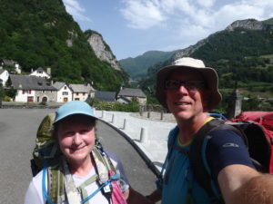
Overlooking Estaut below
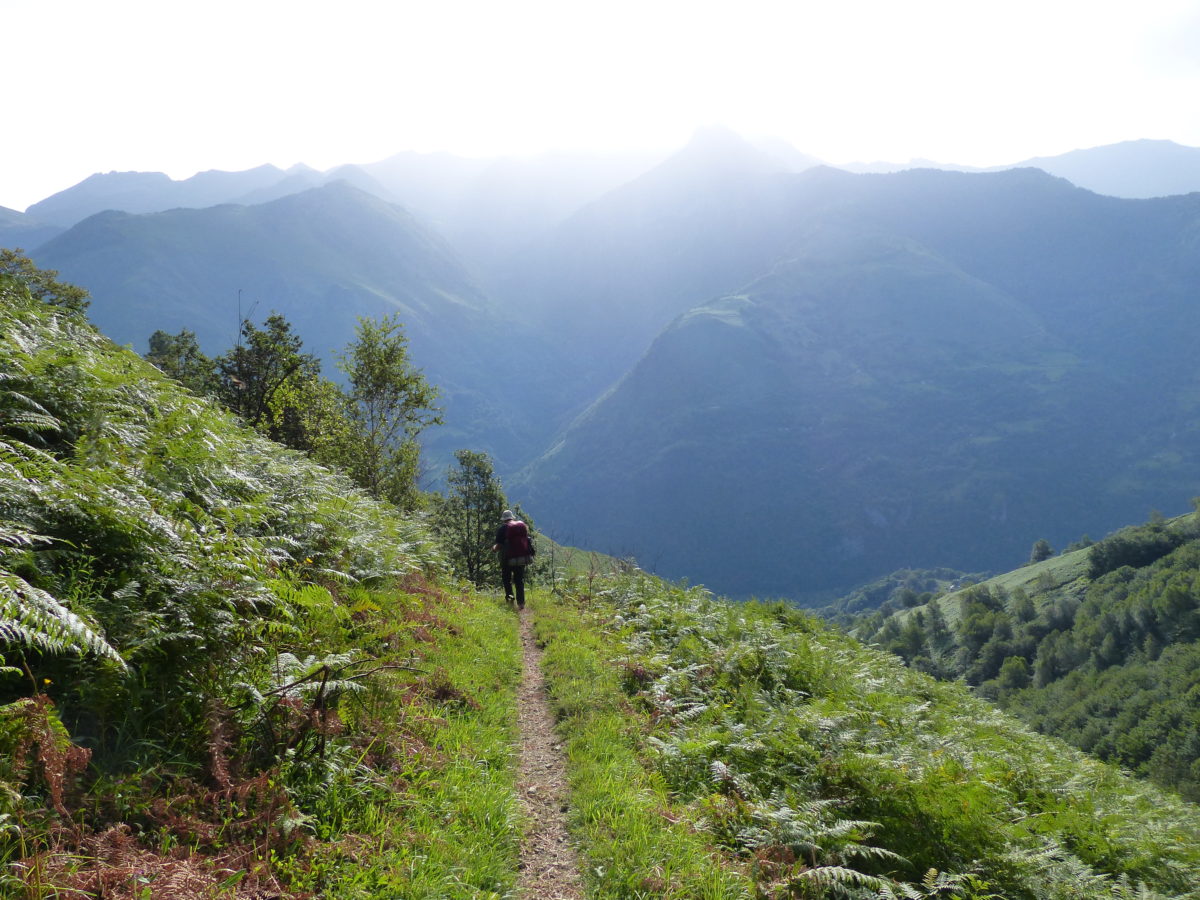
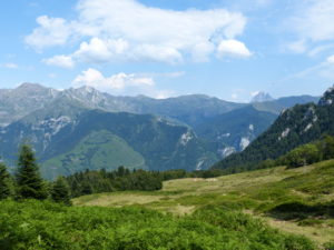
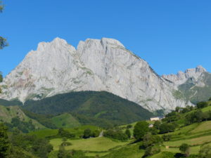
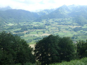
Down valley from Borce
World War I and II memorial to all the fallen locals in Estaut

By the time we actually started walking the trail that was on today’s itinerary, it was about 12:20. Today’s itinerary calls for 4800′ of altitude gain, 3600′ of altitude loss, and 15 miles of walking–in a word, the day blows. We had already decided to do yesterday’s and today’s schedule in 3 days instead of 2. We’ve set a goal of doing 6 days of itinerary every 8 days including a day off. This trail is tougher than we anticipated plus we’ve never been this old before.
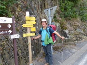
We’ve killed enough time, I guess we have to hike
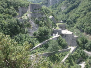
Fort du Portalet at the mouth of the gorge containing Chemin de la Mature

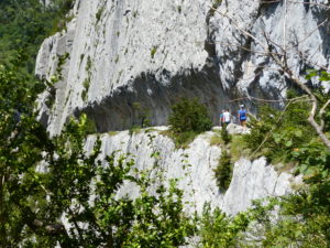
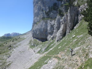
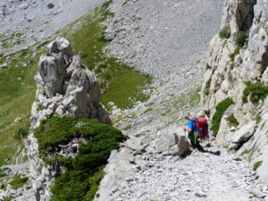
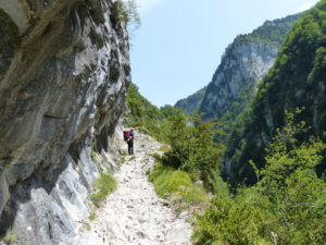
The highlight for today was Le Chemin de la Mature coming out of Estaut. We’ve been told that this portion of trail was originally authorized by a king of France as a means to get the trees large enough to use as ship masts out of the mountains. The trail was carved out of the side of a cliff. To our right was always a minimum of 700′ drop. Looking over the side gave me a feeling of vertigo (which I quite like). Pam wouldn’t look.

A close look shows where the rock was drilled to blast it out
I don’t think Pam can get any further from the edge without tearing clothes
A look back so you can see how the trail is actually blasted out of the cliff

This was a lot longer portion of trail than we thought it would be. We gained almost 900′ in the course of two miles. We kept an eye out for remnants of Axel’s shirt on the tunnel walls (rumor has it he doesn’t like heights and was planning on hiking as far to the left as possible), Axel and Heike hiked this portion yesterday. The worst part of the trail wasn’t the imminent threat of death if you fell, but the relentless afternoon sun. We’re thinking Pete might be on to something starting so early–maybe someday we’ll set an alarm.
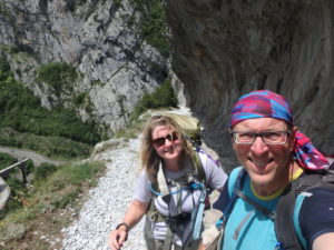
In some places the trees were growing on the edge which gave a sense of security while walking
A look back doesn’t quite give the true sense of height above the gorge
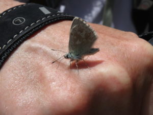
Pam had a hitchhiker all the way of the Chemin de la Mature

We stopped for a snack at the top to cool off before going on. At this point we had only about 6 miles of hiking in and it was already almost 3. We didn’t see a lot of people today; a few day hikers, a father and son that were doing a 4 day trip with a pack mule, and a few hikers going the other direction. We have no one that we know still in our range.

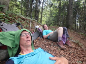
What kind of rest did we take at the top? A well deserved one, of course

Gabas was out of the question for us now (another 11.5 miles). Even Lac de Bious-Artigues (our original goal on the other side of the pass) was very doubtful. Our guide book indicated a camping spot at the source of the river we were hiking next to. We couldn’t tell exactly where it was, but it looked like another 5 miles.
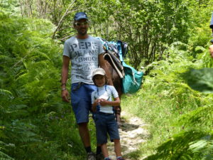
A father and son out on a four day excursion with a donkey to carry all the gear. The son was very interested in how scary the Chemin de la Mature was

There’s wind chill factor for cold days that feel colder than they actually are. There’s a heat index for hotter days that feel hotter than they are. Why isn’t there a hiking index for effort put into a hike greater than it feels? We hiked 11.5 miles, but 8.5 miles of it was uphill and steep. We’re carrying heavy packs with everything we need to survive for 3+ days if we can’t buy more food (or George doesn’t show up). We should have gotten a 17.625 mile rating for today (with rounding, an 18 mile day).

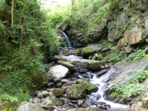
These little streams/waterfalls come together to cut the gorge below

I was completely out of fuel. True we had had two breakfasts and two snacks, but I needed some substantial protein and fat. The first mountain stream we crossed, I said we were stopping and eating–Pam didn’t argue. We each drank a liter of water with electrolytes in them and I made another gourmet lunch for us: goat and lamb cheese, tomatoes, (& onion) sandwiches with olives and chocolate chip cookies. I was up baking and churning all night.
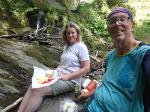
A gourmet lunch made by yours truly

The 5 miles after we ate weren’t too bad now that we had fuel in us. We climbed another 1500′ so that’s about all we’ll have left to climb in the morning. There’s a threat of rain tonight so we were worried about finding a safe camping spot. Unfortunately, there wasn’t anything flat at all below tree line. Even above tree line, we had to go quite high into the valley to finally find a level spot.
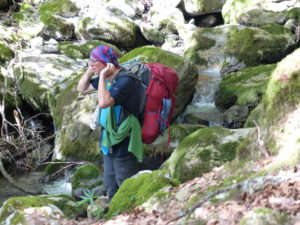
Sometimes a foot soaking isn’t quite enough–a cool, wet buff does the trick

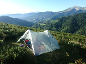
When we entered the National Park, there was a sign stating no camping. The French definition of camping is much different than ours. We are actually bivouacking according to their standards. We found another group of campers (in the spot we wanted) but felt more secure knowing we weren’t alone. We went another 50 meters up and set up our tent.
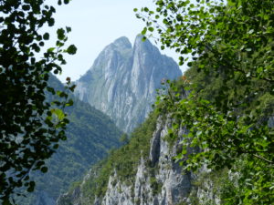
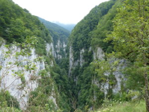
A final look down the gorge

We got in the tent by 8:15 when it started sprinkling. By 9, we had a full electrical storm going on outside, but it didn’t last very long. I hope that’s it for the night. We are in a narrow valley head with mountains towering 1500′ on three sides of us. I feel secure that we are not threatened by lightening or have to worry about flooding since there is such a small watershed around us. We’ll see if my calmness can make Pam sleep or if drugs will be required.
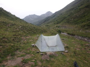
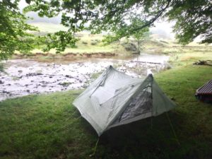
We finally find a level spot next to a stream just before the storms start

Day 18–Monday, July 17. A little shy of Borce, France (7 miles)

First off, Happy 6 month Anniversary to my lovely wife–I’m enjoying the honeymoon so far

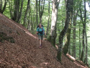
It’s hard to beat forest walking

We knew from the beginning we were going to get an anti-Pete start–that is, late. We were completely out of food (with the exception of teas, coffees, and sports drink mixes–I’m carrying about 3# of those). The campground came alive before I could convince Pam to be a leader and get up.

Pam is feeling a little under the weather today but she’s still busting out the miles

Since the grocery store was back in my favorite village (Lescun, in case anyone forgot), we decided to just leave our tent set up while we went shopping. If we packed up before, we would just have to repack everything when we got back with the groceries. This saved us about 15 minutes of time so we could get in town when the store opened. I’ll own this one–when we moved our tent yesterday, we moved it right next to Yvo and Annieka. We really like this young family. As we were heading out, I started talking to them about all of their travels. Then we started talking gear. When they got to looking at my tent, time flew out the window. Yada, yada, yada, we got on the road at 11:20.

Who knew? Great Pyrenees are working dogs!

Just as we left the campground, it started to rain. This was actually a good thing since we had some climbing to do. All in all, the trail wasn’t that bad today, but we just couldn’t get into a hiking rhythm. We only had a 600′ climb in the first mile and then we had a fairly level walk for a couple of miles. Pam was not feeling well so she was very slow. After 4 hours of hiking she wanted to take a nap. We were back to the old discussion of sleep vs food.

That’s where we came from just the day before yesterday

Breakfast was just yogurt, cheese, bread, juice, and coffee. My contention is that we burned that little bit of fuel off walking back from the store to the campground (1/2 mile, 450′ of elevation change). We went to bed last night before 10 and slept good, but we didn’t eat supper because someone was whiny and wanted to get back to camp to go to bed early. There was no sleep deficit, but there was a big caloric deficit.

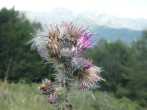
I found a new feature on my camera and ants on a thistle

Instead of sleeping, I made us lunch and then we napped. I’m always willing to relive my kindergarten year. The siesta was one of my favorite aspects of Spain. After the long break, Pam felt better, but she won’t admit it. She did eat almost as much as me (just one chorizo stick less).

First lunch made by my own hands–olives, chorizo, and goat cheese. It was a pain chasing the goat around the mountains to get the milk, but I do it for love

We had one big climb of about 1900′ and we were only a little over half way through it when we had our lunch/nappy time. The final part of any climb is always the steepest, so the energy gains from the food were cancelled by the steep trail so Pam is wanting sleep.

After food comes nap time

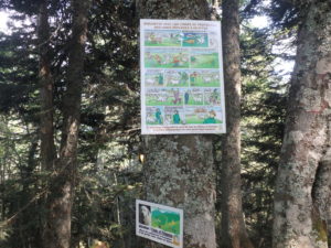
The pass came sooner than I expected. I rounded a corner and saw a picture of a Great Pyrenees and a cartoon explaining that these are working guard dogs protecting their flocks. Respect them and don’t annoy them. I’ve had 6 Great Pyrenees but have never seen one work yet. I was excited to see them in action. Too bad the flock was on the next mountain–we could see the sheep but couldn’t pick out the dogs.

We finally made the pass–Pam is not looking overly joyed considering our climbing is done for the day

This is when we discovered something very cool. Pam was wanting to listen to music to keep her mind off of her misery. Instead of getting out her MP3 player she used her phone. I thought, lets check for networks just in case. No wifi available, but there were several blue tooth devices.

There’s still a lot above us so we can’t complain about a little 2400′ climb


Before I continue with this story, I’ve got to mention that all the animals free graze in the mountains and that they all are either tagged or marked with paint to identify the owners, but every horse, cow, sheep, goat, donkey, pig, you name it, wears a cow bell. The bells all have different tones. When you happen upon a group of animals grazing, it sounds like the percussion section of a high school marching band warming up. The next time Christopher Wallken says “we need more cow bell,” send him to the Pyrenees.

The first sight emerging from the trees after our climb of the afternoon

I connected the blue tooth on her phone to “sheep.” Nothing happened. She took her phone back and hit the play button. The bells on the sheep started playing the song she was listening to. It was amazing. I guess they have shock collars on the sheep’s bells to make them shake in time with the music.

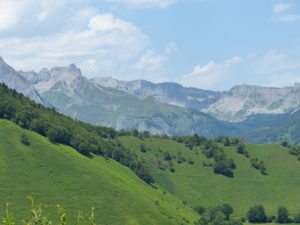
Every valley is a postcard

There were other networks as well. After experimentation, we discovered “horse” does the best country music interpretation. “Sheep” is best for love songs and bubble gum rock. “Pigs” is all hard rock. The next time anyone is traveling out west in the USA, check this out. I’m not sure if this is just a French thing or if all ranchers have wired up the herds.

Can you hear the music–these cows are doing it

After the music experience, we stopped in a cow field to listen to some top 40 while we soaked our feet in a cool stream. But now it was almost 5 and we had killed enough time listening to flock music–Pam wanted to camp. The first level spot we came to in the woods close to a stream, we took.

Feet soaking is our new indulgent pleasure

I set up the tent, filtered water, and cooked supper. I’m not sure what Pam did other than inflate the mattress and spread out her bedding. I heard some weird animal noise coming from the tent, but I was too busy with all my domestic chores to investigate.

My only pleasures exist when I multi-task. Here I am washing socks, filtering water, and soaking my feet in the stream (downstream of where I draw the water to filter)

We were in the tent by 8:15 to avoid the mosquitos. Pam was asleep and snoring a few minutes after that. I still had work to do. A husband’s work never ends.

Home for the night–Pam is all tucked in while I get everything ready for the night and tomorrow

Day 17–Sunday, July 16. Lescun (Zero Day)

Pam and I both had the weirdest dream last night. We were in a fancy tea house, the kind that’s expensive and classy. We found out how much it was going to cost and decided to just have oreos and olives instead. (Weird dreams are a sign it’s time to get out of the tent)

It’s going to be a gorgeous day–not a cloud in the sky

We are officially 125 miles into the GR10 according to our guidebook. According to our tracker, we have a few miles more than that but that is because of taking a couple of longer alternates, a few wrong turns, some intentional backtracking, and a few side trips. We are taking longer than we thought we would, but we have done 6 days of suggested itinerary in the last 7 days. We are getting stronger (and less whiney) as we go. We might finish by the end of August as planned but there won’t be time to visit Barcelona until after the GR20 is complete.

The campground is also a refuge with a dining area and small shop

We slept until it got too hot in the tent. Because it’s a holiday weekend, our choice of spots was limited (if we wanted flat). There was a rush of people leaving this morning so we will move the tent to a better spot under the trees.

Even when we aren’t hiking, we relocate our home–much nicer under the trees

Today is pure relaxation day–and detoxification (of clothes and bodies). As soon as we got moving, we headed to the washing machine so our clothes would be dry by early afternoon (clothes would be nice in Lescun when we go back).

The view from our tent

While we were eating our breakfast, James walked by to buy a couple of beers. He, Kinte, and Andre are going to walk together for a while this morning until he splits off to go to the GR11. It sucked, but we said our goodbyes. Andre has a tight schedule and can’t take any days off, so unless we put rockets in our butts, we won’t see him again. We’ll keep track of James on Facebook. There’s a chance we might run into him again at the Mediterranean.

Probably the last time we’ll see Andre, James, and Kinte on the GR10

While I was paying the bill, I started talking to a young woman in line. She had heard Pam and I talking about needing groceries. We told her about our 5-6 year plan and she loved it. She said she and her husband had taken 9 months off to cycle around the continent of Asia and spending four and a half months in Nepal. She said it was the best thing they have ever done. She offered to get some groceries for us. We thanked her for the offer but said we were fine waiting until morning. Yvo and Annieka, along with their two sons, Jidda and Tieben are from Holland. They have just started cycling again now that their youngest is 6 months old. They have just modified the trips a bit to allow for all the extra gear for two toddlers. Today, they were going to try hiking in the mountains. Their three year old keeps them hopping. I’m so glad to see them with their young boys out in nature.

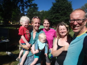
What a great young family, Yvo, Annieka, Jidde, and Tieben–yes, we’re all squinting; the sun is bright and we’re used to fog

I got caught up on the blog a bit while Pam hung up the laundry. While she was resting and editing my work, I moved the tent. After she showered, we decided it was time to head to town to grab some food and look around. We walked into the first restaurant and Heike was sitting at a table in the corner. Axel was off taking care of some business. We were afraid we had seen the last of them–this might be it this time. They are still going to hike on and plan to be done with this portion of the trip by Thursday. The one thing that was nice about the Camino is that we got to spend lots of time with people we met hiking. On this trail, we just start to really get to know people and then they are gone. We are officially on our own once again.

Lunch with a view–but as you can see, it was a working lunch so a tax write off

Lescun roughly translates as “the cutest, flicking town in the world”. We are so glad we spent an extra day here. I don’t know if I’d want to spend the rest of my life here, but I could easily spend a year here to see all the seasons. There is nature unbelievable with more than enough trails to keep us occupied. I can’t think of a more idealistic village. We walked around town and took a short hike up the side of the mountain to get a bird’s eye view of the valley.

The church–for a switch, it’s on the edge of town

A few beers and dinner before heading back to our camp for the night and we have had an ideal rest day. I’m sorry to be moving on from here, but I know we’ll be ready in the morning once we get some supplies.

Pam also loves hollyhocks
I’m banking 7 days of no baby livestock pictures!

Day 16–Saturday, July 15. Lescun (11 miles)

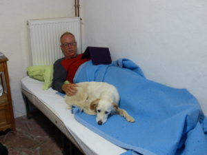
The hostess gave up her room for us, but her dog didn’t. Billie kept opening the door and coming in. I, being the softy that I am, let her get up on the bed with me. She slept with me until about 11:30 when her master went to bed and came back in a little before 6 when she started cooking breakfast for everyone. Please, no one tell Ilana–this is her 11 & 1/2 year birthday today.

I always pick up dogs after a couple of beers

We heard a lot of movement in the common area but it was only a few minutes after 7. We never got a confirmation of what time breakfast was or what time we had to be out, but we figured things were much more lax here than on the Camino. Wrong, breakfast was at 7:15 and we were later. Everyone has to be out by 8:15, no exceptions. We drank our coffee and juice along with 2 slices of bread with butter and jam–how anyone thinks this is a good breakfast for hiking I’ll never understand. I need some protein and fat. I ate as much butter as I could get on the bread.

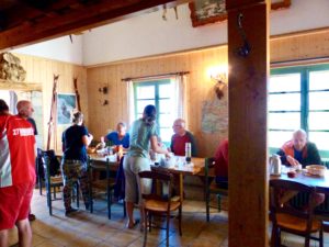
Breakfast in the refuge if you call bread with butter and jam breakfast

As we were leaving, Anne-Laure told us she was staying another day here and cutting her itinerary short. A friend was coming to meet her, so we said our first trail goodbye on the GR10. This will probably be common since most people only hike for a week or two and very few people through hike the entire trail.

Our first night indoors since St Jean and it was a great change of pace

Since we were in a ski village, we thought there might be a shop and restaurant around. We skipped buying any food from the refuge because we were hoping to score some fresh fruit, cheese, olives, peanut butter, tortillas, and such. They would have made us sandwiches had we asked, but I am so tired of smoked ham that I passed up the opportunity. When we explored the village, we had to kick ourselves–no shop (even though the guidebook says there is) and only a bar selling coffee, desserts, and ham sandwiches. We got two dry sandwiches to go to get us through the day and to Lescun. We had cafe-au-laits while she made the sandwiches.

We could have camped outside but a bed without someone blowing in my face sounded nice

It was beautiful and sunny around and above us, but we could see the clouds climbing up the mountain range below us. A quick glance at the guidebook told us we had a small climb (300m or 900′) this morning to cross over the ridge and then a steady decline all the way to Lescun (I keep saying Lescun because it’s one of the shortest and most pronounceable names to me). The trail builders have not been reading the guidebooks.

The clouds are trying to overtake us yet again

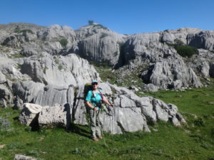
The rock formations around and above the ski area were very interesting. There were a lot of sinkholes along the trail indicating collapsed caves below. At one point, we were walking crevasses in the rock. Pam, you need to show Greg the pictures and get a run down on how this area was formed. There have been several times we needed Greg to explain the geology of the area (at least I wanted him–I know the Pams kind of glaze over about half way through the explanations but an engineer appreciates a scientist’s explanation).

Greg, we need an explanation for these rocks

Andre passed us and confirmed we just had a short climb. He then hiked on ahead. We decided to take a break and eat one of the dry sandwiches (my bread and jam didn’t last long with the climbing). Since we were stopped, we spread out the tent to dry in the wind and sun (while it lasted). Our unknown French friend passed us up and wished us “Bon appetite.” When we got packed up, we passed him having his lunch and wished him “Bon appetite” as well.

The wind seems to be blowing the clouds west, we might get lucky yet with a wall of mountains between us and them

It may have been wishful thinking (actually it was, no may about it) but we were convinced we had made the climb and were heading downhill. This is when we lost the trail. Our friend had joined us by this point and couldn’t find the trail either. All three of us were convinced the trail was below us and kept looking in that direction. Pam turned around and saw a cairn way above us. I started heading that way as well as our friend. Sure enough, it was the trail and it was heading up.

Maybe once we cross this ridge we’ll get to start the easy downhill we are expecting

He took off while I waited for Pam to climb back up to the trail (an interesting side note–Pam was in the lead when we lost the trail; no accusations, just saying). The trail kept getting steeper and steeper. We rounded one rock outcrop and there was a cable hanging down for us to grab on to. Unfortunately, we did need the cable to make it up. When we got to the top, we realized we were almost at 6000′. The trail ahead wasn’t much better than what we had just climbed up.

That’s a smile of relief to be over the pass–I have no idea what Pam is smiling about

Now there were a lot of hikers on the other side of the pass (once we dropped down 100m). Bastille Day was just yesterday so this was a holiday weekend and there were lots of people out. We kept thinking we had to be dropping down into Lescun but the trail was climbing again. Sure enough, we went over another pass almost as high as the last one. I’m going to have to start looking at the guidebook a little more carefully.

That’s the pass we just came over to the left
That’s the scree we had to wall down–trust me, the view to the left is scary

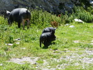
After the second pass, the trail dropped–fast! We got down to a kind of floor of the valley and decided to take a break and soak our feet (no day is complete until we soak the feet–the poet in me). There was a stone house with people living in it all the way up here. They had horses, chickens, and pigs running around. The sow had piglets and didn’t care much for Pam taking their picture.

It got really steep after the second pass
With all the downhill breaking we have been doing, we need to cool the dogs off in a mountain stream before continuing down
Three little piggies almost took Pammy out
They sold cheese here, but I’m leary of all the flies and poop around the house

We were still up in the mountains. Lescun sits in the valley around 2800′ and we were still above 5500′. We could see trees in the distance below us, so we started heading that way so we could have our second lunch break. We passed a group camp site that looked like a bunch of kids from some sort of summer camp. They had mules in camp which they had used to bring all the gear up.

A huge group of kids camping in the valley floor still above the trees

As soon as we got in the trees, the path became wonderful. I love forest walking. We stopped for our lunch break (and hopefully a pee break as well, but there were lots of people wandering about–quickness is key). The walk in the woods was very pleasant. We dropped about 700′ in the course 2 miles. Pam said she saw a parking lot ahead–I was skeptical myself. Hallucinations are the first indication that she is ready to stop for the day–second, the complaining starts.

This is the top of the valley behind the house selling cheese–I’d be worried of avalanche if I lived there
Looking down the valley from the second pass

We came around a bend only to find a drop of 300′ into a side valley and we saw a huge vertical face of “Pic d’Anie” but no parking lot. This mountain dominates the valley where Lescun is. I’m not even sure you can call it a valley as we are completely surrounded (360 degrees) by mountains down in Lescun.

The parking lot that Pam saw up ahead

We still had another 1500′ to descend into town. Surprisingly, we came across a refuge high above town so we stopped for a cold drink and a short break. I contemplated spending the night here until a bus load of kids showed up and started running around the place. Pam was right, there was a parking lot. She has great vision! She can see 2 miles ahead through the woods and around rock outcrops and spot a parking lot.

The rest of the walk down was kind of muddy and this is where the second indication that Pam is getting tired starts. I tried to keep just far enough ahead to avoid hearing the complaints but close enough to hear if anything happens to her–I walk a tight rope when hiking. We finally were close enough to hear church bells in town and it was already 6.

Having a cold drink to cool off for the last muddy trek to town

When we got into town, we headed straight for the shop, but it was closed this weekend for a wedding in the family. Lescun is a charming village and this is the type of setting I could picture myself in as I’m dying of old age–mountains all around, stone cottages, and just beauty in every direction. However, I’m not dying yet.

The view of the valley surrounded by mountains on all sides

We ran into Nils, Alici, Jocelyn, and (I’m sorry I forgot her name–she was actually very sweet to us and earned a beer for carrying all the gear the other day). We found out this was their last day of hiking. Like us, they had come all the way from Hendaye. Unlike us, they have to return to reality. We had our second goodbye for the day.

Time for a sit and beer in the plaza

Sitting with them in the central plaza of the village of Lescun (Lescun, Lescun, Lescun) was a young Englishman. James had just adopted a dog, Kunta Kinte from a shelter in Spain. Now they are hiking across the Pyrenees together to raise money for the shelter that saved Kunta Kinte’s life (“Kinte’s walk to freedom” on Facebook–check it out and donate to a good cause). They have already raised enough money to feed the shelter for 6 months.

James and Kunta Kinte

After we had a couple of beers trying to figure out what we were going to do with the shop closed and tomorrow being Sunday, so the shops in the next town will be closed. We’re getting low on cash and no ATMs for another 5 days of hiking. We don’t have enough food to make the next day in the itinerary. (At this point, we’re really starting to miss George–by now he’d be wanting to die if he had done this trail and he would supply enough meat to last for at least a week.). We decided to just take a zero day tomorrow to shower, rest, and do laundry. We’ll pick up groceries on the way out of town Monday morning.

The campground is about 1/2 mile out of town. As we started heading out, we ran into another English couple, Abbey and David, who had just gotten into town (Lescun) and are headed up to do the Haute Route (the trail that Emma and Ali abandoned to do the GR10 and now James told us they are switching to the GR11 to save money–Spain is a lot cheaper than France; in fact, James is switching to the GR11 as well). When we got to the campground, we said our goodbyes.

Abby and David getting ready to hit the high route

As we were setting up camp, Andre came by and we talked for quite a while. Somehow, we got on the subject of trails to do. Andre has actually hiked “88 Temples” in Japan. He described it to us and now we’ve added another trail to the list. We had decided against it when people recommended it to us while we were hiking the Camino, mainly, because no one had actually done the pilgrimage. Andre has and he says it was the best thing he has ever done.

2023 is starting to fill up!

Day 15–Friday, July 14. Arette-la Pierre-St-Martin (7.5 miles)

The clouds were low when we went to bed and they got even lower through the night. It rained a little through the night, but not hard. When I woke up at 7, we were in another fog/mist. I figured since we had backtracked to town for a flat spot to sleep, I could backtrack to the auberge to partake of porcelain. Pam stayed in bed.

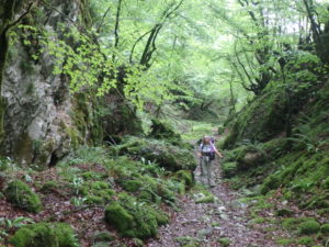
Pam walking up the narrow gorge first thing in the morning

When I got back to the tent, we decided to just take it nice and slow this morning to allow the sun to burn the fog off. We cooked breakfast from inside the tent and ate breakfast in bed once again (what a sweetheart my wife has for a husband). While we were eating, Sabrina packed up and left.

So much to see, we were distracted from the fact that we were climbing so some people forgot to whine

We got started hiking at a rather unusual time for us–10a. We started out with the clouds just a few hundred feet above us. It wasn’t long before we hiked up into them and then we stayed in them all day. For the second day in a row, we would hike over peaks in the Pyrenees and not see anything of the scenery around us.

As always, a well marked trail–I think I’ve only referred to the guidebook one or two times in two weeks

After about a 500′ gain (of the 3700′ climb we had in store for us today) we entered a gully which contained a temperate rain forest. There were small caves in the walls with extremely lush vegetation. Even though we were climbing steadily up the ravine, we didn’t notice it because there was so much to see. There’s abandoned pipe line sections periodically. Back in the ’50s, there was an attempt to create a hydro-electric facility in the gully. The dream wasn’t actually realized until 2008. Part of the original attempt included a 600 meter long tunnel to direct the water flow. We saw the mouth of the tunnel above us but didn’t go in.

I run a tight hiking ship

After leaving the gully, we climbed. And climbed. And climbed some more. Since we were in a cloud, it was in a constant mist with an occasional rain. It was really a pleasant way to climb–cool and comfortable. It turns out I’m wearing so many quick drying clothes that I actually leave dry footprints behind me in the rain.

It would have been nice to see some of the scenery around us, especially after we emerged from the forest. We leapfrogged with a French man we have been hiking with for the last few days. Unfortunately, he speaks as much English as we do French so we just gesture to each other quite a bit. He seems like a really nice guy–we catch him singing a lot when he doesn’t realize we’re around. We passed him at our first “summit” of the day.

We don’t speak any French and he doesn’t speak any English but we manage to communicate
The fog also helps distract from the climbing

For a while, we thought the sun might make an appearance after we left our French friend cooking lunch. We went around the back side of the mountain and the fog got much thicker and darker. As we were climbing, we heard a woman scream. We didn’t know what was happening. We stayed quiet to try to hear if there was another yell. As we climbed, me ran into a French woman we had met yesterday. Anne-Laure was hiking yesterday in open toed sandals. We were passing through some fresh cut trail with lots of thorns. We really felt for her, but she was very happy and said she only had 3 more days to hike and that, yes, she had made a mistake with the shoes. Today, she came towards us very happy to see other people. She had lost the trail and was circling around to try to find where it went. We all worked together to get back on track.

Anne-Laure had new shoes today instead of her sandals

The final 600′ of our 3700′ climb was on an old gravel road. I’m sure on a normal clear day we would have had amazing views. Anne-Laure took a break once we got to the road and we kept going. She later passed us when we took a break. Near the top, we caught up with her again. She was a little dispirited saying that it’s hard to keep going when you can only see 50′ around you.

This was our constant view the rest of the way to the top

Not 5 minutes after we left Anne-Laure, the sky turned blue and the fog lifted–in a very tight circle around us. There was fog all around us, but we were walking in a sun bubble. We were so close to the top that we thought we were going to have views at the summit. Nay nay. All we got at the summit were pictures from other people who had been sittting up there for a couple hours and had an occasional clear window. We did meet another French man that was cooking his lunch and drying his tent. Andre and I started talking gear. Pam’s eyes started to glaze but I was showing Andre our ZPacks tent. He really liked the weight of it.


Andre from Northern France

There was only about 1.5 miles left to the refuge. We thought we might camp out front of it or possibly even get a bed if there were any available. The best part of the walk is that it was all down hill from our 5400′ summit without a view. As we were walking the trail (and having a hard time seeing the markers because the fog had gotten dense again) we practically stumbled on the building.

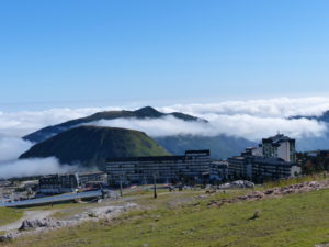
I guess we are in a ski area–we happened upon this on our way down the mountain

We ended up getting a room to ourselves. The poor hostess had to sleep in a tent and give us her room. We thought we might get to keep her dog with us all night–she got up on the bed with me and slept while I was typing. With the refuge, we got a family style dinner. The refuge holds 19 people and allows camping outside as well. There were 22 people at dinner: 11 who spoke French, 9 who spoke Spanish, and 2 lone Americans that could only pick up about every 20th word. Everyone was very accommodating to us and tried to include us in the discussions but we were slightly overwhelmed.

We could hear voices and the refuge just materialized before us

Showers, home cooked 3 course meal, beer, wine, water, bread, and beds to stretch out in–hiker paradise.

Day 14–Thursday, July 13. Ste-Engrace (12.5 miles)

First off, Happy 12th Anniversary to Axel and Heike (or possibly belated anniversary, I’m not sure which day it is; but they won’t read this for two weeks, so belated it is).

I stayed up a little later than Pam last night so I could talk with Axel and Heike. They were telling me about a film that was popular in Germany a few years back about the Camino which might explain why so many Germans were on the trail. I was still in bed before dark while they stayed up and had a beer.

Bunny is a booby man after all–we weren’t sure if he was a man or woman before; we respected his privacy and didn’t check.  Pam is now creeped out that she has a horny bunny on her back

Axel and Heike are not morning go getters either. Pam and I were beat from yestrerday’s hike so we slept in past 8:30–we were still the first ones up, but not by much. They may have been laying in bed waiting for us to get up first while we were waiting for them to get up first–if we had played it right, we could have ended up with another day in the tent.

We left before Axel and Heike thinking they would catch up with us before the top as we are such slow hikers

As usual, I cooked breakfast and made coffee while Pam “packed up” inside the tent. I always let her get her stuff done inside before I move my stuff in or out–it just works to stay out of her way. We hit the trail a few minutes before 10. Axel and Heike were still packing up, but we figured they would catch up in a few minutes since we’re such slow hikers.

Leaving camp, we were optimistic that the clouds would lift

We didn’t hike as high up as we thought we had last night. We started with a gradual 300′ climb which we thought w were done with. When we left camp, the clouds were well above us, but as we walked and climbed, we got back in the clouds. Who knew walking in a cloud would be so humid?

We even caught a glimpse of the upper gorge

When we got to the 1000m plateau, visibility was almost zero so we took a break. It didn’t take long for the clouds to rise up above us again and give us good views of the valley we had just climbed out of. It looked like the clouds were finally going to burn off completely for us.

By the time we got to the plateau, we caught up with the clouds again

We had another 600′ climb where we ended up in the clouds agin. I guess the clouds got tired of the cat and mouse game and decided to just stay put. This was very disappointing because we had a 3 mile walk on the edge of the gorge and we couldn’t see anything at all except the clouds all around us.

A rather artistic presentation of Pam and the fog

We still had another 500′ to climb so we thought we might get lucky and climb into some sunshine–it just wasn’t to be for us today. As we approached the summit, we met a young French man, David, who we walked with for about an hour. He is a banker in Bordeaux who took a 6 month leave to hike the Camino and GR10,but now he has the hiking bug and says it would take him 6 years to do all the hiking he would like to do.

David had also just completed the Camino Norte before starting the GR10

We eventually split up with us hiking ahead while David took a break. That’s when we met a French woman, Sabrina, who came to our aid several times later in the day. We just barely talked with her before we had to take a break from all the downhill hiking we had done–2500′ without a break–my hip flexors were shot. Pam can fly on the downhills.

Plenty of muddy trails around

When we got to the low point of the day, we ran into Sabrina again at a roadside stand next to the tourist entrance to the gorge. She interpreted for us about restaurants and grocery stores in the area–not looking good, but we\have a few things to try ahead.

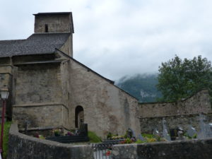
The church and cemetery in Ste-Engrace

We had less than 2 miles to go to Ste-Engrace and hopefully a restaurant. We will hit a shop tomorrow, but we are\ almost out of food and need at least one meals worth to make it. The GR10 is remarkably well marked–most of the time we don’t even have to look at the map. This evening, we ended up on a variant trail into town. We were slightly confused as to the route when Sabrina showed up and agreed with Pam as to the route, I had walked ahead and gotten freaked out by a bunch of skeletons littering the trail–I was convinced a large predator or an angry French farmer who didn’t like hikers was close by.

Look a cemetery–who can I wish a happy birthday to?

We ended up at the gite, but they only serve hot meals to people staying there so we were out of luck for food. We were bummed and slightly worried. We decided to check out the church since we were in town. When we came out the waitress came over to talk to us and said we could get some sandwiches if we wanted that instead of a hot meal. That sounded great to us–enough so that we got beers as well. They even gave us 5 liters of cold eaux (see how easily I slipped into French–that’s water).

The gite that got us some sandwiches and water

On our way to find a place to camp, Axel and Heike walked into town. They looked hungry and tired and were headed for the place we just left. Since he speaks French, I’m sure they will fare much better than we did–we are just having a hard time making ourselves be understood.

Religious building spillover from the Camino

We headed out of town and saw Sabrina setting up her tent in a field. She invited us to join her but we wanted to head up the trail a bit. As soon as we got on the trail, it started climbing steeply up and flat spots looked scarce. And that’s how we came to be neighbors with Sabrina tonight.

Day 13–Wednesday, July 12. Just below Plateau d’Ardakhotchia (11 miles)

During the night we knew the cloud cover broke because we could look out and see stars. The moon was so bright it woke us up. We both got up to pee and saw the lights of the village of Larrau below us. It was a beautiful sight. Other than that, our night can best be described by the Paul Simon song “slip sliding away.”

We may have slept at a slope, but the surprise view in the morning was worth it

The spot we imagined to be level in the fog turned out to be about a 30 degree slant. I gallantly let Pam have the mat all to herself. That and she has a mean elbow in the middle of the night if she doesn’t get her way. We tried putting all of our gear below Pam to stop the mat from sliding, but it just kept rising in the air and rolling out from underneath her. Whenever possible, I tried to get my hips on the pad, but if I moved too much or took up too much space, the elbows started flying. I’m a saint (and silent about it).

We’re near mountains we didn’t even know existed last night

We got up before 8 and stepped out to see the beautiful valley we were in. The water supply that felt so far away in the fog was only about 75′. It’s amazing how low visibility makes distances grow. With all the chores to do we didn’t get on the trail until 9:45 but that represents an hour and 45 minute improvement.

The moon made an appearance in the night to let us know the sky was clear–she decided to stick around and take a look for herself

As we started moving, a group of French hikers came running down the trail. We let the first guy pass and kept eyes over our shoulders to see when the rest were going to overtake us. One of the women was so fast, she didn’t even give us a chance to move out of the trail but just ran in the ferns further down the side of the mountain to get around us.

The French group picnicking were actually running up and down the trails with full packs–in fairness to us, they are not camping so the packs aren’t as heavy

A word about French hikers–they are very competitive and in great shape. The competition shows through whenever you talk to them. The first French man we met on the trail said he was going to do the trail in 42 days. We told that to the second French man and he said he was going to do half the trail in 18 days. The next two groups told us they were going to do the entire trail in 21 days. I’ll bet each of them makes their goal or beats it. They literally run up and down the trail with full packs. They carry competitiveness to a new level. The average French person is in far better shape than the average American.

So many views so little bandwidth

The trail was generally downhill meaning we only gained 1400′ of elevation while losing 3500′. We could see clouds on the other side of passes trying to get into our valley, but the mountains surrounding the valley were tall enough to keep them out so we had a pleasant sunshiney walk. The worst part of today was walking through the muddiest section of trail we have hit to date. We had about a mile of terrible trail. I fanned the air and almost fell three times, but I managed to stay vertical.

Obligatory baby animal picture pursuant to marriage contract–safe for another day. I need a bunny to free me for a week

We took a couple of breaks after climbs. We still can’t run up the hills (nor will we ever be able to), but we are getting stronger. Pam didn’t even complain about her pains today for the first 4 hours of walking which is new personal best.

She’s all business when hiking uphill

We got into Logibar around 3. We had passed some people on the trail and then they passed us–the fact that we even passed them indicated to us that they were not French. When we got to the Auberge Logibar (which is all the town consists of) we ran into the trio again. It turns out Nils, Alici, and Jocelyn are all from Denmark and are hiking the GR10 for 2 weeks–since they aren’t French, they will not be doing the entire trail. Nils and Alici have also hiked the GR20 and Tour de Mont Blanc. We told them our plans. When we took their picture, we made it possible for Nils to cross of an item on his bucket list–appear in a blog. We had a great time talking with them and will probably run into them again tomorrow.

Nils, Alici, and Jocelyn staying at Logibar when we stopped in for a snack

Even thought the cloud cover eventually got our valley, it didn’t look threatening so we decided to get a jump on tomorrows hike. The itinerary for tomorrow calls for 14.5 miles with 4000′ of elevation gain. If we can knock out 2000′ of gain tonight, we just might be able to make it to a location where we can get showers and electricity to charge all of our devices.

When there is water, it’s pretty amazing to see and hear
Nothing is better than a mountain stream
Gorge d’Holzarte
We were standing at the junction of two gorges with the same view in three different directions


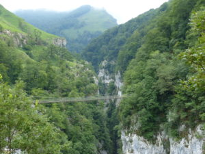
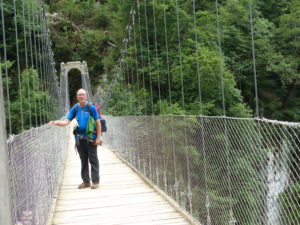
The walk out of Logibar was simply amazing. The trail followed a thundering mountain stream up a narrow gorge. We kept climbing faster than the river was rising in the gorge. By the time we got to a narrow point in the gorge, we were a good 700′ above the gorge. Not to be deterred, the French have built a suspension bridge across the gorge. Pam was a little concerned about crossing it but she ran right across–she didn’t want to spend any more time on it than she had to.

When we saw the bridge, Pam said “I’m not crossing that”
The family with little kids shamed her into getting out on it
In fairness, the guidebook says to make sure the suspension bridge is still usable before approaching it–that doesn’t inspire confidence
It was bouncy but sturdy. I would have felt better if the deck was more than 3/4″ planks with the 700′ fall below
Pam stopped long enough for one picture in the middle–thank god it turned out because I only had one shot


Once across, we still had several hundred feet to climb. By the time we got near the top, the trail started to level out and it was already 7. We were hoping to quickly find a level campsite next to water but that wasn’t to be for a while. We walked another mile and a half before we finally found a spot that met our needs. It was getting close to 8 by the time we set up camp and headed down to the river to completely wash our clothes and bodies. There were no living creatures left in the water by the time we were done.

I’m sure the dirty underwear had no connection with the suspension bridge crossing

As we were bringing everything back up to our tent, Axel and Heike walked down the trail. It was almost 9 and they had been hiking since 8:30 this morning. We really thought they would pass us up earlier in the day. At least for tonight, we have neighbors.

Axel and Heike showed up just as we had gotten dressed from our “baths” in a cold pool in the stream–good thing for them or they would never have been able to eat again

Day 12–Tuesday, July 11. Above Cayolar de Mendikotziague (7.5 miles)

It rained through the night again. When I got up for the 3rd time at 6:30, it was still misting and heavily overcast. I figured Pam wouldn’t even entertain getting up so I went back to bed. Around 8:45, the sky brightened up and Pam awoke raring to go.

A thoughtful husband cooking breakfast for his wife

The clouds started breaking up and blue sky appeared. We cooked breakfast and started packing up. While we were doing that, the sun broke completely through, so we decided to dry everything out and Pam thoroughly cleaned the tent. We had vowed we weren’t going to have another 11:15 start and we didn’t. But the time we packed everything up and soaked our feet while crossing the stream, it was 11:30.
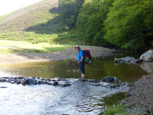
A slow crossing and foot soaking to start the day

We had the final 1/3 of yesterday’s itinerary to complete which involved a couple of 600+ foot climbs. It was beautiful walking. The sun was shining, a breeze was blowing, and we were walking through forests. The climbs still take it out of us being Midwest flatlanders, so we took our first break at the top of the first climb.

Continue reading “Day 12–Tuesday, July 11. Above Cayolar de Mendikotziague (7.5 miles)”

Day 11–Monday, July 10. Near Chalet Pedro (6.5 miles)

We finally got the thunderstorm they have been promising for the last 5 days. At 2:30 this morning I was woke by lightening. Let me repeat that, I was awoke by lightening, and not Pam freaking out. She was amazingly calm. The reason, I found out, was because there was no thunder. The main body of the storm was over the ridge behind us so the sound didn’t make it to us. Note to self: buy some sound dampening headphones for Pam for use in storms when at home (wherever that may one day be).

Low clouds as we are hiking

My only concern was how big the rain really was because we were camped in a somewhat narrow valley and I was a little worried about a flash flood washing us away. We had chosen our campsite on a high spot above the stream, but one never knows for sure. I wasn’t going to say anything when Pam brought it up. I stuck my head out of the tent to check the stream level only to discover it wasn’t really raining as hard as it sounded. Now we could relax and enjoy the storm for the rest of the night.
Home made cheese and pasteurized–we just didn’t want to carry an extra kilogram in our packs

At 6:30, I couldn’t wait any longer and had to go out of the tent (for the obvious reason–53 year old man). It was still raining, but not real hard. I know my wife wouldn’t choose to pack up in the rain, so I heeded her wishes and went back to bed. I didn’t wake back up until 9:30. The rain was now just a mist in the air, so we made breakfast (oatmeal and coffee) and then packed up. Pete will love this–we hit the trail at 11:15.
With the constant mist, it’s easy to spot all the spider webs–I had no idea there were so many around us

First off was an 1100′ climb right up the corner and over the shoulder of Iraukotuturru (now you can see why I haven’t been giving the mountain names). The mist turned to fog then back to mist and finally light rain. We were hoping the clouds would burn off by early afternoon. As with all climbs, we took our sweet time. It was very other worldly climbing through the clouds and mist. After a couple hours, though, it just got old.

The “X” indicates not the trail–good thing since it was on a cliff

We made it to road on the shoulder of the mountain only to hit an early afternoon traffic jam. We’ve seen a lot of sheep between Wales, Spain, and France, but this was the largest number of sheep we’ve seen at once. They covered the road further than we could see in the mist.

Our kind of traffic jam–if only they were so easy to clear with people in cars

The next 1/2 mile was a gentle down and up along the road. The sheep readily scattered to let us pass. When we got to the pass, it was 1:30 and Pam felt nature calling in the second way. We decided to drop packs, answer nature’s call, and have a snack (chocolate was off the menu for this break). When Pam walked about 20′ from me, I could barely see her. I told her to meet me back down on the road when she was done.

A bright spot in the climb where I get a chance to be artistic–that’s Pam just out of whining distance

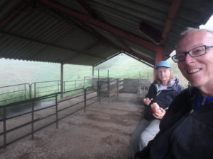
I searched out a dry location out of the rain. The only place I could find was a livestock shelter used for loading animals onto trailers for transport. It was relatively clean (only ground in poop on the concrete). Pam reluctantly agreed to get out of the rain and eat a snack. We discussed taking the bad weather alternative route and skipping the next mountain. We were already at 3100′ and were looking at 1400′ climb in a light rain to get to a peak with no visibility. To both of us, this looked dangerous and not worth the risk. We decided to wait an hour in the shelter before we made a final decision.

Pam did not want to eat in the livestock shelter–we did complete the food cycle when I ate a beef stick

30 minutes later, we had made up our minds. There was a wall of black clouds approaching us and the mist was turning back to rain. We took the road alternative route. I was bummed but am pretty sure we made the right decision. Even along the road, we still covered the same distance as the main route. But only had about a 500′ gain in elevation.

Pam is not a fan of ferns–especially wet ones
I was contractually obliged to include this shot of a wet baby donkey

The map indicated a bar and camping where the alternative rejoins the main route. We though we’d make a decision there as to what to do next because we would still have another 1200′ of total gains even after what we had skipped. On the road walk, my body made the call. My ankle started acting up again on the downhill sections. I’ve got to rest and stretch it this evening.
I would love to own the raisinette concession in the Pyrenees

We stopped in the bar thinking we might get something to eat and drink but were turned against that idea by the sheer number of flies in the place. We settled for a cafe-au-lait and a prepackaged ice cream bar thinking the hot water in the coffee would kill any germs and hoping the Hagendaas factory was sanitary.

A protected spot for our tent next to a mountain stream

Siting down for a bit felt good, but we both decided to call it a day. It was just a little past 5. We saw some nice spots on the other side of the river and decided to go pick a spot there. We had to change into our Crocs to get across the water and it felt great on our feet. With the air temperature, the water almost felt warm (as long as blue feet are considered a warm color).

She may not get a new home every day, but she gets a new setting for her home every day

We set up camp and dried out our stuff the best we could. Even though it was still misting, there was a nice breeze and we have lots of tree cover over our camp. The rest of the week is supposed to be dry and sunny with temps below 80F so we should get completely dried out and back on track. We just ate light and had some hot tea before turning in at 8–it was a stressful 11 hour day.
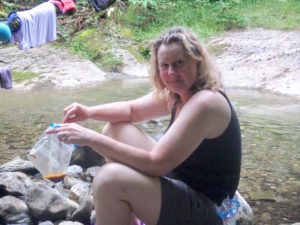
Betcha didn’t expect that under her shorts–Pam inflating our sleeping pad

Day 10–Sunday, July 9. Bridge at 653m past Esterencuby (13 miles)

This is why we like backpacking–the B&B was glorious. Having our own bathroom that we didn’t have to share (or dig a hole), sitting down to breakfast and having it prepared and served to you, Tim and Louise even cleaned our Jet Boil for us as well as doing our laundry–all these things which are taken for granted on a normal holiday are amplified so much more after camping out for a week.

The B&B we stayed at named Errecaldia which means “view of the valley”

Rain had been predicted until 2p today so we decided to eat a late breakfast (8:30) and take our time packing up. We managed to delay starting until 10a. Delay starting to our normal start time. When we want rain, the sun shines. We spent the day walking in full sun instead of the clouds we were hoping for.

Our hosts Tim and Louise–transplants from England to St Jean

By the guidebook, today was supposed to be just an 8 mile day with less than 1500′ of elevation gain, but that would make tomorrow a 14.5 mile day with over a mile of elevation gain–we’re not ready for that yet! We decided to take the first climb off of tomorrow and add it to today if we were able.

An old stone barn on the side of the road

The day started off with a little over 3 miles of road walking. We were doing better than usual after an off day–Pam was complaining about how tired her feet and legs were, but this has become normal background noise on the trip. As we were entering Caro, I felt a pop in my left ankle. I started having pain while I was walking. We stopped at a bench by the church and I took off my boot to see if anything was noticeable. The pain lessened if I walked on level surfaces and disappeared completely when I was climbing, but downhill really hurt. I toughed it out to show Pam how to ignore pain until it gets better–I doubt if she picked up the lesson I was trying to teach.

Great views of the mountains ahead

We followed the road until it changed to gravel and then a forest track. We both had to pee really bad and were looking for a place to go more than watching for markers. We finally found a depression in the shrubs where Pam could drop and dribble. Just as she finished a French man appeared and started talking. When we said no French only English, he asked if we were hiking some loop. We said no, the GR10. He then said you are off the trail.

He led us back to the turn we missed. In fairness to us, it was a little deceptively marked. Just as we got to the turn, another couple walked up. They started walking by and I asked if they were on the GR10. They said yes and started to walk past the turn. At first they didn’t believe it was a turn either. The French man and the other man began talking until he was convinced this was the turn.

Axel and Heike from Nuremberg, Germany

The couple (Axel and Heike) turned out to be from Nuremberg, Germany. This was their first day of hiking the GR10 this year, but they had hiked from Hendaye to St Jean last October. Axel speaks 3 languages (German, French, and English). Once again, I was embarrassed by my lack of language skills.

The first reddish slug we’ve seen. These things are huge–as big as your hand in length

We walked together for a while but got separated by a couple of fairly aggressive and curious horses. We had made the mistake of petting them and then they started following us. We dropped back and then they kept pestering the German couple. Finally she had enough and yelled at the horses. They lost their curiosity and began eating grass. We tip toed behind them hoping to not get their attention again.

The horses who were following Axel and Heike

Next up was our big climb of the day; about 1000′ up to cross into the valley where Esterencuby is. As we got near the top, we were both dragging pretty bad. We had used up all of our fuel from breakfast and needed a break. We sat behind some rocks and had a snack.

A nice lunch with an OK view

Now we were ready to finish the climb and head down into town. This is when I discovered that my ankle pain hadn’t disappeared as I had hoped. The climb down was a little painful, but I could alleviate some of it by shifting my weight on to my hiking poles. When we finally made it to town, we stopped at the restaurant for a coke and a dessert. Our German friends were there but had to get going because they had reservations at a gite in a couple of miles. They had to be there before 6 or their room might be given away–it was already 3:30.

Pam coming over a rise in the trail

Pam and I chilled until 4 and then decided we had to get going. We were hoping to make the 1900′ climb to the pass by 6. It wasn”t a terrible climb, but it was very hot. We tried to maximize our time in the shade as much as possible (i.e. cooling off often). We made the pass at 7 then took a break to watch the sheep. We decided these are really stupid animals and that we don’t need any more pictures of them. The no more pictures was my conclusion and not Pam’s.

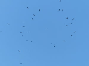
There were hundreds of vultures catching a thermal thousands of feet up

We still had 2 miles to go for the spot we were hoping for. We could see people camping down in the valley. We wanted to stop because we were both tired, but we needed water first. We’re going to start cooking 2 meals a day to save money (plus we need to use up all the food we brought with us and stored in St Jean).

No day is complete without a foot soaking in a mountain stream

When we got to the spot I had picked out on the map, there were already 2 tents there. It was a nice grassy spot right off the road and next to a mountain stream. We said we needed water and they pointed out a path in the woods that lead down to the stream. I filled water bags for Pam to filter.

Tremendous views abound–Pam is even in the picture

When we were finishing up, the guy could see I was looking for a spot to camp. He told Pam about a spot way back in the woods he had found after they had already set up camp. He told us which trail to take. I went to check it out and it was ideal.

A level spot next to a mountain stream in a secluded forest–who could ask for anything more?

It was already after 8, so we hurried to set up camp and cook supper. While our ramen noodle creations were cooling down, we soaked our feet in the stream. It didn’t take long to turn them blue. This is without a doubt, the best camping spot we have had on this entire trip.

I’m getting good at setting this sucker up