Day 29–Friday, July 28. Sazos (9.5 miles)

This day is dedicated to Pete–we got up early and had olives and Oreos for lunch.
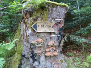
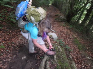
How to re-task a dead tree trunk with style

I was in charge of the alarm clock this morning so I showed Pam how to operate a snooze button. After the 4th snooze, I reset the alarm. Bottom line, we were fed, packed, and on the trail at 8:45–our earliest start in about a week.
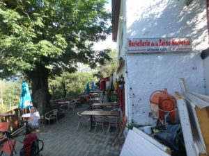
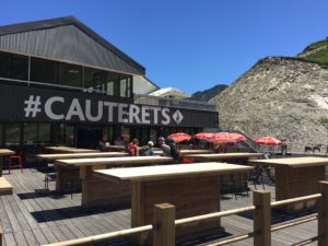
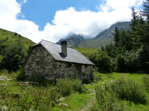
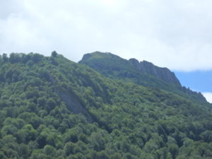
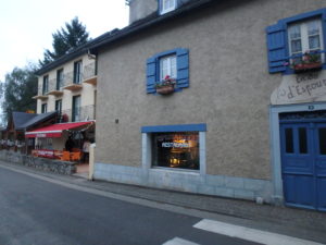
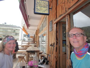
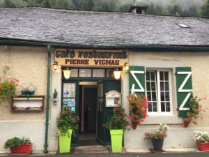
An old ruins remodeled into a bar above Cauterets

My pack weight was horrendous. After about 20 minutes of walking, I was ready to throw in the towel. I’m carrying in excess of 50 pounds and it definitely affected my feet today. But where I hurt most was cardio. You’d think after more than 950 trail miles, I’d start to build up some cardio. It sucks getting old.
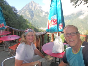
Unfortunately, it was closed so we just had to take in the view sans refreshments

The beauty of today was that it’s another easy day (according to the guidebook). Only 4000′ of gain and 5000′ of descent over a mere 14 miles. I’m really growing to dislike the author of the book–not as a guidebook writer, but as a person. He continues to irritate me on a near daily basis. Today, he called switchbacks “zigzags” and acted irritated that the trail builders included them. Today was one of the few times they actually got the switchbacks right–if you are facing the mountain while walking, it is not a switchback.

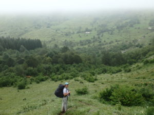
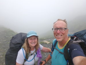
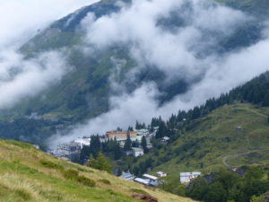
Getting near the pass, the fog started rolling in again–might as well have lunch

Even though the trails have switchbacks, French hikers won’t use them. We followed four French hikers and they all went straight up the mountain and avoided the switchbacks. No wonder the area near the pass has tremendous erosion problems.
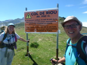
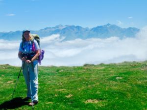
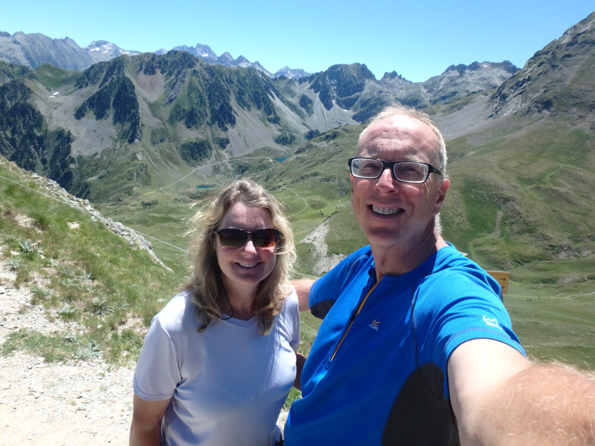
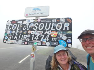
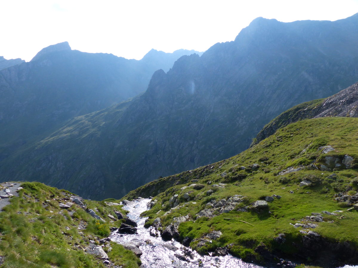
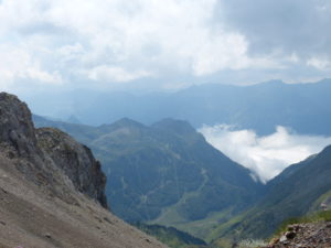
We made the pass and got some clear skies between cloud tides
Here it comes again getting ready to swallow Pam

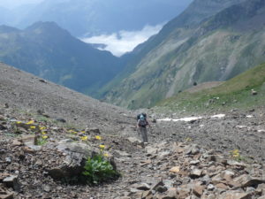
The majority of the 4000′ we had to gain today was in the first 5 miles. It was really a pleasant walk in a mild sun with lots of shade. But as we got near the pass, the clouds started rolling in and it looked like our lack of luck with views was going to hold. The clouds were like the tide today. They rolled up the mountain and cooled everything off. When the sun warmed up the pass, they rolled back down the mountain. We saw this cycle a few times as we neared the pass. We figured we could catch the cycle and get a good view.
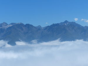
Cauterets is down there, and we’re in the sun

The way down from the pass was through an apparently abandoned ski area. We saw lifts without cables or cars; buildings falling down; and weeds overtaking stairs and parking lots. The trail was also poorly marked through the area–the worst we’ve dealt with the entire trial.
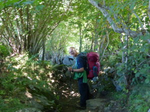
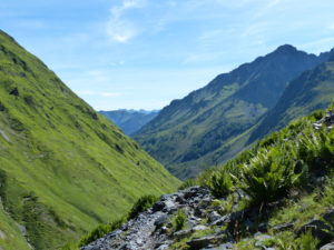
There was some pleasant trail walking on the down side

One thing I don’t like about the GR10 is that it’s up and down every day. It would be nice to get up in the mountains and stay at altitude for a few days before dropping back down to a village. It’s my understanding that the GR11 does just that. The French make sure to hit a village every day so they don’t have to camp or carry food. Hiking can actually be quite expensive in France because they tend to stay in gites and get prepared meals every day.

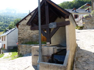
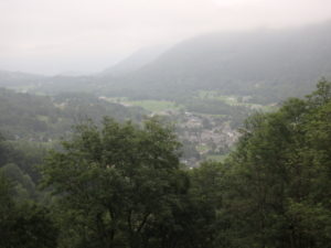
As we descended, the clouds completely dissolved in our new valley
A water fountain in Grust entering town–they divert mountain streams and harness them in all the little villages

In 4 miles of steep descent, we lost every inch of elevation gain made this morning. The only redeeming part of this cruel up/down joke is that the French villages in the Pyrenees are the most charming places imaginable. They are all stone, orderly, and sparkling clean. We saw 70 year old men out cutting hay with a scythe and an old woman driving a tractor. Everyone appears to be hard working. The first village we came into was Grust. We sat and chilled for a bit while we decided how far we wanted to go.
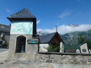
A potable water spot on the way out of Grust
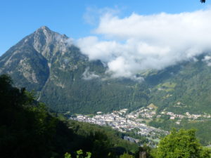
A view of Luz where we will pass through tomorrow

The next village was Sazos. It was every bit as charming as Grust had been. When we entered town, we saw an old mill on the stream. It obviously hadn’t been used in decades, but there were old mill wheels sitting around the area. The guidebook had said there was a campground in town that had a swimming pool. Sucking down a beer poolside sounded very appealing to us, so we decided to check it out.
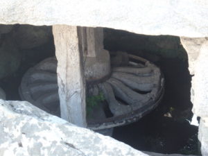
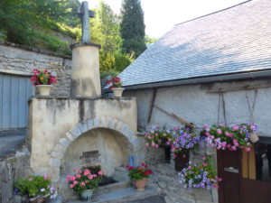
An abandoned mill on the way into Sazos
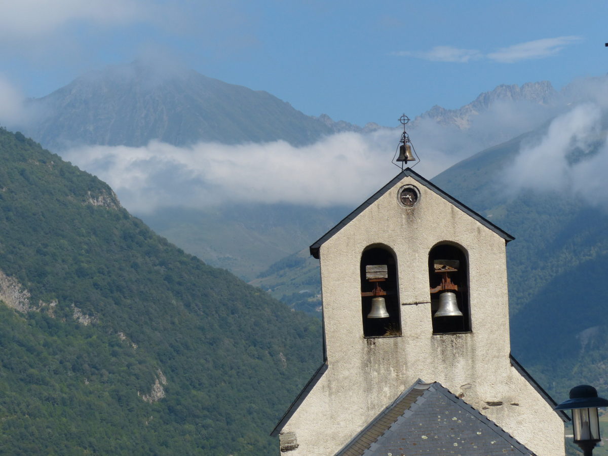
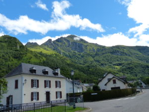
The mountain villages are spectacularly clean and pleasant

When we got there, the campground was more of a resort than a campground. There’s a swimming pool, bar, restaurant, hot tub, spa, and everything a camper could want. We quickly set up our camp then headed to the water. The only problem is France doesn’t allow drinking around the pool. We couldn’t combine the two activities, but we could still accomplish both. And we did.
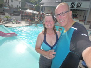
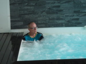
A dip in the pool does many things at once–cools us off, washes our bodies, and cleans our clothes. Much easier than showering and doing laundry!
I could have slept here all night–the largest spa I’ve ever seen–there were 40 people in it playing
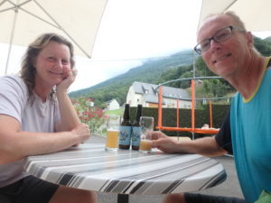
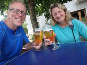
One of those rare occasions where we have a beer–well deserved, of course

Day 28–Thursday, July 27. Cauterets (Zero Day)

Sometimes, it feels like we’ve been on the trail for a month, but I’ve just got to keep reminding myself, it’s only been 4 weeks.

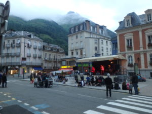
There was a live band last night–we could recognize some of the music, but the words were all garbled

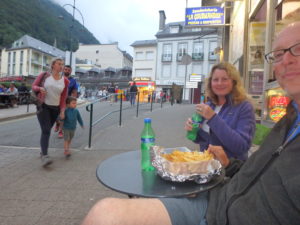
We did go for a walk around town last night and there was a live band in the central plaza, but instead of beer, we opted for sprite and salty French fries. We didn’t stay out late since we were planning on getting going early today.

We were good, just ordinary carbs without beer

A word about getting going early–don’t let Pam handle the snooze if you want to get out of bed early. The alarm went off but instead of hitting the snooze, she shut it off. Next thing we knew, it was noon. The room darkening storm shutters work like a charm. It worked out for the best; the caretaker folded all of our laundry and put it in our window. We had to change bungalows because ours was already reserved for tonight, but that just took a few minutes to move all of our crap.

The cabana we got relocated to today–very nice and quiet

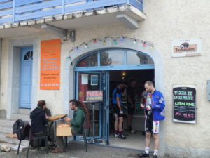
First priority for today was some good greasy food. We had noticed a snack shop yesterday that offered American food. We finally got a good hamburger, fries, and a coke. They even had catsup and mayonnaise (we have gotten so tired of dry sandwiches that we even appreciate when they spit on them).
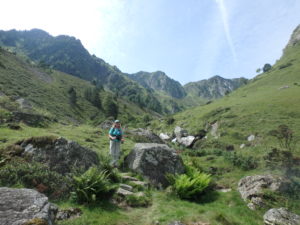
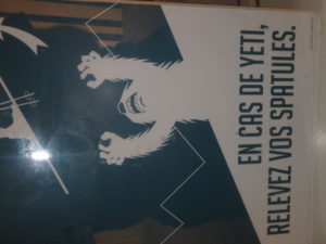
Turns out there are yeti in the Pyrenees and I forgot the Yeti survival kit Dan and Sue gave me when I went to the Himalayas
Not to worry, the French have a plan

The snack place was right next to the national park office, but when we started across the street, we saw the ski lift was running. The ski area is not actually in town, but it’s 3500′ above town and can only be reached by gondola from town (or walking which was out for us today). We bought tickets to head back up to see the pass we missed because of the fog.

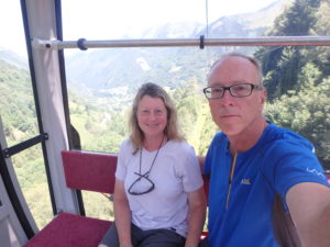
The gondolas seat 6-8; the run is at least 3 miles long and rises 3500′
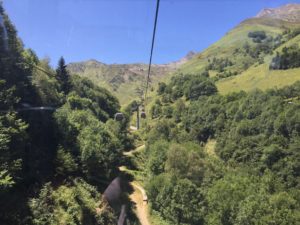
It runs across town then up the mountain–a true engineering marvel
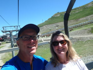
Yes, I’m terrified and not too happy. I don’t know why Pam is smiling–she won’t get a check if something happens to me because we’re both in the same car
We walked down under this yesterday–they tried to talk us into walking down again today, but we were just wearing crocs

We got our money’s worth on this one. This has to be the longest gondola run I’ve ever seen. It takes about 20 minutes to get to the ski area at 6000′. Then we caught another ski lift that took us up to 8000′. This is the top of the black runs. From here, we could walk up a little higher to look down on the pass we walked over 2 days ago. We seriously need to reconsider how long it takes to walk these mountains when a lift can get us there in under an hour.

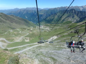
When you get to the ski area, we just had ski lifts and not gondolas
This is a massive ski area

I am somewhat terrified of heights (actually, extremely terrified). This phobia makes sense because anyone can fall off a cliff (or out of a lift) at any time, unlike a fear of storms and getting struck by lightening where you have a better chance of winning an Oscar than getting struck by lightening. Engineers have logical phobias! Pam was just fine with the wind blowing the gondola and the cars bouncing up and down. I completely freaked when I found out that we could raise the safety bar at any time.

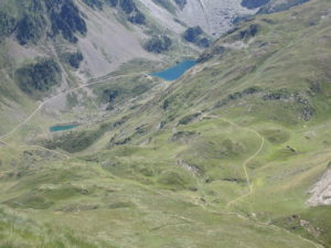
We finally get to see one of our passes from above–we went over the pass slightly left of center two days ago (in the fog)
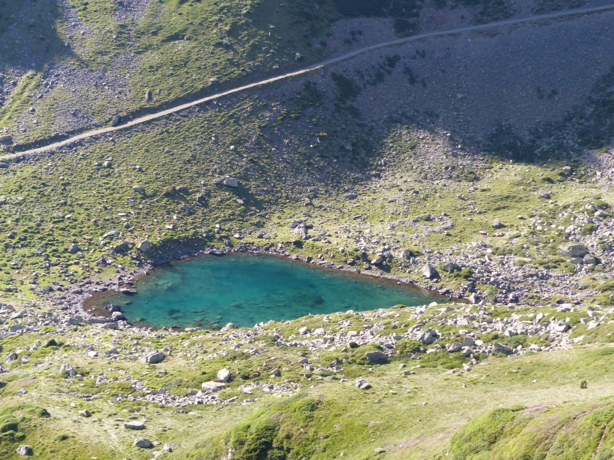
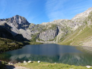
The larger lake is where the refuge was. Our camping spot night before last was bottom center

When we left the gite this morning, Pam told me I should take a hat because the sun was so bright. I told her that if I take a hat, I’ll end up losing it. She insisted so I told her it was her responsibility to make sure I didn’t lose it. She only had one thing to do, other than look pretty, and she blew it. I left my hat at the ticket counter when we bought our lift passes, so I got to wear her baseball cap to keep the sun off of my folically challenged area. When we went to get on the gondola for the trip down, the attendant gave me my hat. They had apparently sent it up trying to cover for Pam.

The ride down didn’t scare me as much
OK, we did have one beer–how can you go to a ski area nad not have a beer?

Round trip to top of mountain on lifts in under two hours–walking (for us) two days. Oh well, we’re getting stronger (in theory). Next up was the park center which had some great exhibits and photo shows. We watched a few videos and spent about an hour there. Isards are on our list of mammals to be watching for in the high country.

This is about 1/2 of the gondola path
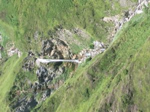
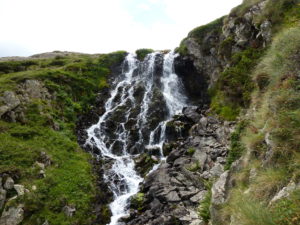
This is a different water fall than we saw two days ago–no sense of scale here but at least 300′

We still aren’t in the mood for any alcohol (no, really, not even a beer) so we headed to a grocery store to buy some liquid refreshment. While walking around, we decided to just buy some more food for supper tonight and breakfast tomorrow. Once we go back to the gite, we are done until we hit the trail again (whenever that may be if Pam is in charge of alarms).

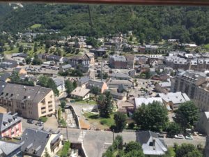
Cauterets from above
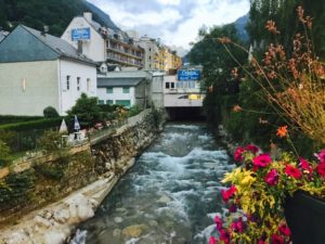
The sound of running water fills the valley from this stream running through town

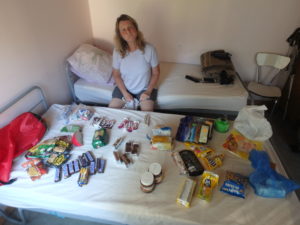
It was time to do a food shakedown. It turns out, that I have been hoarding food and this has got to stop. We figure we have enough food for 9 suppers, 3 lunches, and 4 breakfasts (plus all the drink–tea, coffee, etc). I think it’s good practice to get used to carrying 5 days of food since we will have to a few times on this trip when (if) we make it that far.

Maybe more food than we need to be carrying, but we have options now

We ate our dinners and got all packed up for tomorrow. Pam has set her alarm so we should be on the trail by 2p at the latest.

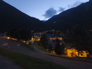
Cauterets at sun down

Day 27–Wednesday, July 26. Cauterets (6.5 miles)

We were awoke by the sound of cow bells right outside the tent. I looked up to see a cow silhouette on the side of the tent. As soon as I reached for my camera, she heard me and booked down to the stream. We are apparently camped on their normal morning path and they couldn’t figure out what the two tents were.

Sunrise pee time

The clouds had broken up during the night. Of course, I discovered this when I got up to pee. Since we were camped around 6500′ and there is no light pollution up this high in the Pyrenees, I had an amazing view of the night sky. This was the brightest I’ve ever seen the Milky Way (even when I worked for Mars).

They move remarkably fast when motivated

Since we were so high, it was still quite cold when I got up. Not Pam, she stayed in bed until she had hot coffee to entice her out from under the quilt. When I scared the cows out of camp, they took revenge by crapping in the stream causing me to have to climb upstream to find water that wasn’t brown.

Here’s the rest of the herd moving through our camp

We ate in the tent to avoid the cold. By the time we were done eating, the sun was full on our tent drying everything out. We broke camp and were on the trail by 9:20–I don’t think the French trio was more than 10 minutes behind us.
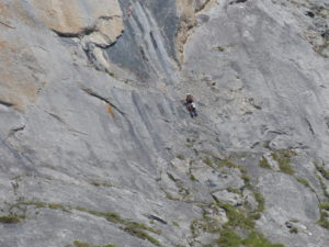
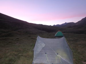
This is what we missed last night when we sat up camp
On the way to Lac d’Ilheou
Our first glimpse of the lake

We made our way down to Lac d’Ilheou and the refuge there. We ordered coffee and crepes for a second breakfast (if was a tough 20 minute walk). As soon as we placed our order, people started coming in from every direction. The French trio from Paris were first in, but everyone who had camped on the lake made it up to the patio. Then people started coming in off of the trail from town.

From the deck of the refuge
What else are we going to do when we are waiting for the bathroom?

When we left around 10:30, there must have been well over 100 people walking up the dirt road to the refuge. Since we are purists, we took the trail that ran above the road. We only ran into 3 other people all morning while hiking on the trail. One couple had seen us yesterday at Lac d’Estaing and talked to us for a while.

Blueberry crepe and coffee for second breakfast

We dropped over 3700′ over 6 miles down to Cauterets. We were trying to make it in town by early afternoon to do some shopping (more ibuprofen, new inserts for our boots, food, cooking gas, etc.) so we tried not to stop much. We only took one short break to have a Snickers bar.

Pam descending the canyon

After the break, we kind of lost the trail. It felt like we were on a cow trail instead of the GR10. We saw some people on the road below us waving and asking for help in French. We decided to abandon our track and scramble down to the road to see what was happening.

The French family who saved us in the game of “the blind leading the blind”

They only spoke French and we only spoke English, but we managed to convey we were all lost. They were hiking the Cauterets’ loop and lost the trail just like we had lost the GR10. They didn’t have a map, but we had our guidebook. Once we looked at it, he was able to point out the turn we missed and then they were going to hike back into town on the same path with us.

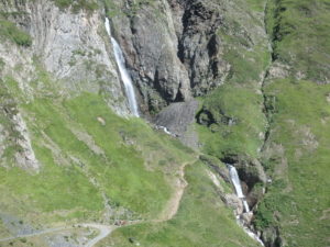
It may not look like much but the falls is several hundred feet tall as evidenced by the people standing on the trail between the two falls
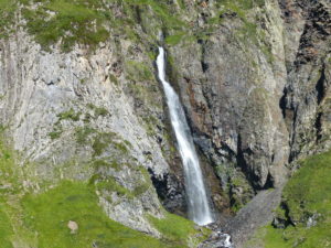
The upper falls

About 30 minutes later, we all met back up in town. We didn’t know where anything was so we found a map and started heading toward the visitor center. On the way, we actually found a couple of grocery stores, an outfitter, a pharmacy, and a restaurant–turns out we didn’t even need the visitor center. We had accomplished everything we wanted to just heading towards them. After lunch (turns out I’m not tired of pizza), we headed to the visitor center to see if there was a laundromat and a cheap place to stay in town. They directed us to a very reasonably priced gite that does laundry, so our day is complete. The only thing we have left to do is wander back to downtown and have a few beers while we listen to the free entertainment provided in the plaza.

Our first glimpse of Cauterets

Cauterets represents the 1/3 point of the GR10. Our guidebook says we should be here after 16 days of hiking, but as you can see from the heading, this is day 27 for us. I’ll provide some stats of what we’ve done:
4 Zero Days (no hiking)
192 miles of trail hiked on the GR10
52,640′ of elevation gain on the trail
49,135′ of elevation lost on the trail
(That’s like climbing Everest from sea level to summit twice and almost being back to sea level)

Looking down valley from the refuge

We are now carrying way more food than we need, but we don’t want to be caught short again. We do have two five day stretches coming up where we won’t be able to purchase any food, so we might as well get used to carrying the extra weight.

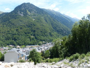
View from the edge of town

I suggested to Pam that we might be experiencing the “Virginia Blues”–it affects AT hikers when they get into VA after about 700 miles of hiking. She informed me we were in France. To date, we have officially hiked 186 miles on the Pembrokeshire Coastal Path in Wales, 575 miles on the Camino Francais across Spain to Muxia and Fisterra, and 192 miles on the GR10–we have actually hiked many more miles than that, but these are the “official” trail miles. That’s a total of 953 miles with fully loaded backpacks at all times–no bikes, no cars, no taxis, no trains, no piggybacking–actual hiking. No wonder I need a beer.

Everything a hiker could want–even dehydrated food!

Day 26–Tuesday, July 25. Above Lac d’Ilheou (12 miles)

What a difference a true rest day makes in our physical ability (plus a little sunshine to uplift our spirits). We did our largest single day’s climb today–just 85′ shy of a mile vertical gain. The other two times we were supposed to gain this much, we ended up breaking those days into two. By gosh, we are getting stronger. Pam was a trooper and kept up all day and even led a good portion. She attributes it to rest and sleep, but I know it was the food. She is listening to her body and eating more while still losing weight.

Denis, Marianne, and Ave–Ave is only 3 and already speaks 3 languages

Breakfast was at 8 in Maison Camelat. There were two other French women there last night so we all ate together. Denis and Marianne tried very hard to act as interpreters for us, but we just feel so stupid and rude not speaking any French. I suppose it’s a good thing that makes me keep my mouth shut at the table. In the course of breakfast conversation, they found out about our 5-7 (6-10) year plan to hike and see the world. All 4 were full of questions and supportive of us.

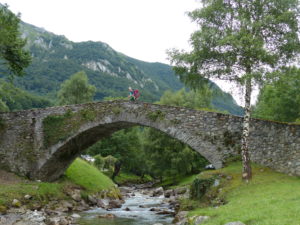
Pam really liked this old stone bridge on the edge of town

All in all, we got an early start for us–9a. We stopped at the bakery on the way out of town to grab a couple of pastries for a second breakfast down the trail. We also grabbed another baguette just because the woman behind the counter was so friendly.

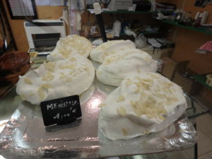
Meringue just for Karen

I need to make a point here about the French. A lot of Americans believe that the French don’t like us and are rude to Americans. That’s not true at all. I have only met one French woman who was rude to me and we have been in France nearly a month. Do you honestly believe that a French person visiting the US would have that few bad encounters with Americans, or that Americans would try to make them feel at home by speaking French? Bottom line is that we are somewhat arrogant in our expectations that the French should speak English to us–we are being rude by not trying to speak their language to them in their own country. I’ll step off my soapbox now.

Our last view of the valley with Arrens
It’s a daily ritual–Pam retires her boots 10 minutes after we start to walk (every day!)

The first 3 miles of trail were a somewhat gentle rise of 800′ followed by a gentle decline of 600′ into the village of Estaing where we found a very nice campground with a cafe and shop. We stopped for a cafe-aulait to wash down the pastries we had bought in Arrens.

A nice surprise not in the guidebook–campground/cafe/shop in Estaing


Coffee and pastries on a patio in France; and we walked here

The next 3 miles were an even more pleasant climb of 600′ up to Lac d’Estaing. The trail followed a nice mountain stream all the way up to the lake. When we got there, we decided it was time to cool our feet off in the lake. Since the lake is filled by melting snow, it didn’t take long to turn our feet blue.

A very pleasant walk along a mountain stream up to Lac d’Estaing
Snow melt for the lake = numb feet for first 200′ of climb

The remainder of our climb was actually one long climb from the lake to the Col d’Ilheou–a 3800′ continuos rise over a little less than 4 miles. It only took us about 600′ of gain after the lake to realize we were running low on fuel. It had been a pleasant walk (albeit steep) in a pine forest. We stopped to eat when we saw we were about to emerge from the forest. Another gourmet lunch prepared by moi for Pam.

Cabana d’Arriou-Sec–where we had lunch

Emerging from the forest after lunch, we noticed some dark clouds coming up from behind us and the pass ahead had some ominous looking clouds as well. We kept cautiously advancing, reevaluating if the clouds looked like they might storm on us. There had been a 60% chance of rain predicted for today, but we couldn’t remember if it included thunderstorms.

The clouds were much darker than they appear here–we’re keeping an eye on their progress

Continue reading “Day 26–Tuesday, July 25. Above Lac d’Ilheou (12 miles)”

Day 25–Monday, July 24. Arrens-Marsous (Zero Day)

Why do we need a zero day after only hiking 52 miles since our last one? Because, with the hiking index I have devised which takes into account: weather conditions, age of hiker, weight of pack, physical condition of hiker, amount of whining near hiker, amount of incline and decline of trail, angle of incline and decline on the trail–when all those factors are considered, we have hiked the equivalent of 2,486.75 miles this past week. That’s a lot of BS to generate just to get a day off of hiking after 7 days on the trail.

Maison Camelat where we are staying

We stayed up later than we wanted last night, but since we didn’t actually get into our room until almost 10, that was unavoidable. We took showers and talked to an English woman we met at the Gite. Mary was unusual in that she is a British Citizen that speaks more than English–she speaks French, Mandarin Chinese, and is working on adding Spanish to her repertoire. I don’t mean to make fun of the British, especially since the average number of languages most Americans speak is 0.8 (listen to the way kids talk–they can’t even master English).

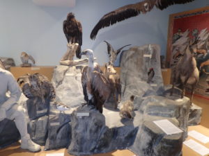
Wildlife in the Pyrenees–we hope to see something other than cows, horses, and sheep

Mary had a week to play in the Pyrenees trying to decide if she wanted to hike the GR10–I’m afraid we didn’t give a whole lot of positive input about doing it the primitive way we are trying. If a person has lots of money and can afford to pay for Gites every night and 3 meals a day and not carry a pack–the GR10 is not too bad. But I’m going off on a tangent.

The knife’s edge we walked down yesterday–we were on the ridge upper middle of picture

Today was what a rest day is supposed to be. We got up and had breakfast at 8. We considered all we had to do, and then went back to the room and took a 3 hour nap before doing a little laundry. Next on the agenda was lunch. People who know me well won’t hear this phrase often uttered by me, but I think I’m finally pizza’d out. This was the second large pizza in the last 3 days. We’re to the point of craving the likes of Taco Bell, Mackies (real pizza), or biscuits and gravy.

Waiting for our pizza–we talked with Inge & Urnie from Bruges, Belgium; and Marte from Berlin (3 sitting at table). We’ve ran into each other last few days on the trail
Cute old bridge in the village

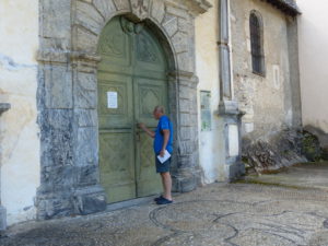
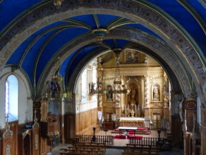
We did walk around town a bit afterwards and even got a key to a chapel from the visitor’s information center. Once we finally got to the right church, we were impressed by the 15th century chapel.

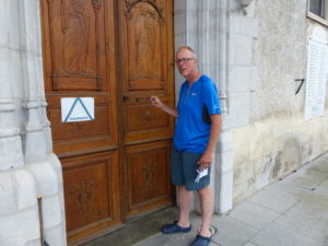
They gave me the key to the church–I guess I should have found out which church because this is the wrong one
We found the right one and let in a group of French visitors as well
Beautiful inside but needing some repairs–not bad for 600 years old
Confessing that I broke into the wrong church earlier today

After the chapel, we rewarded ourselves with a beer–what’s a day off without a cold beer? The skies were starting to spit a little, so we headed back to our gite to make sure the laundry was not in the rain, and then we took another nap.

I”m starting to like beer

About 7, we decided we were hungry again and went in search of food–no luck so we had a sandwich in our room, rearranged our packs to get ready for leaving in the morning (60% chance of rain tomorrow, but the sun is supposed to stick around a bit on Wednesday). Early to bed tonight.

A fairly well stocked shop, but not backpacker friendly

Early to bed, early to rise, makes a man grumpy and his wife full of (whines and) cries.

This is the ridge we have to cross in the morning

We just heard from Jessica who we hiked into St Jean with a couple weeks ago.  She is 9 days ahead of us and has finally decided to take a rest day.  We really sound like whinging poms compared to her.  (Thanks, Shaun, for expanding our range of knowledge).

See who figures out these next 3 pictures
My money is on Tracy Carpenter being the first to get it
But if you have little kids, you might stand a chance

Day 24–Sunday, July 23. Arrens-Marsous (10 miles)

Gourette been berry berry good to me.

What we thought was our last view of Gourette until we retraced our steps past here 20 minutes later

We left the refuge before 9 even though it was still foggy and lightly misting (after a full night of rain which validated me spending money on a refuge). That was the highlight of our hiking day–the illusion of an early start.

On the way out of town, we found another market which had items we wanted but couldn’t find yesterday–another 4 pounds in my pack. We also stopped to get more cash so we wouldn’t have to worry about money again. Since we were at the cash station, we were right next to the crepe store with good wifi, so we uploaded yesterday’s blog. Then one last porcelain break–bottom line, we started hiking about 10:30. Pete, so much for your early start.

A day of confusion and lost trail for us–here we are trying to get into Arrens and still having problems even on the road

A new trend was started today, and not a good one. Pam noticed trail markers that I didn’t see. She actually found the way out of town (almost) that I had missed. As we came up a back set of stairs, I got sidetracked by finding the local cinema and wanted to see what was playing. That’s when we lost the trail for the first time today.

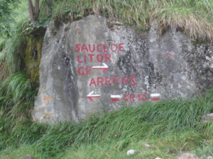
I don’t think we’re the only ones that have ever had problems on this section–normally the trail just has a red and white blaze

Let’s just give a rundown of the day then fill in the details later: 3 high passes crossed with no views because of fog (we were only supposed to only go over two passes); 2 instances of lost trail leading to an extra mile and a half of walking (and an extra pass crossed); a rerouting of the trail which wasn’t in the guidebook which added an extra 100m of descent (and a corresponding 100m of ascent); a missed turn into town which required additional backtracking; and roughly a mile of walking in muddy cow shit (pardon my French, but I’m becoming tri-lingual). So much for a supposedly easy day of hiking on the GR10.

Taking a break to give the sun time to shine–it never did

By the time we realized we weren’t on the trail the first time, we had already gained nearly 100m (328 feet) of elevation which we had to retrace. By the time we got back on the trail, it was 11–we might as well have slept in and done it right the first time. I guess we were just foggy from lack of sleep.

The view at pass #1–we know it actually is spectacular, we saw a picture

As we were climbing the 1400′ up to our first fogged in pass, we met an American from Seattle coming down. Kurt had been at the pass for over an hour before he got a few clear minutes. He was kind enough to show us he photo of what we probably wouldn’t see because the fog was much thicker now.

Glad to have the climb over even if there isn’t a view

Sure enough, no sun at the pass even though we waited 15 minutes for it to show. On the way down, we met a Parisian who was 1/2 American. Victor lives part time on Corsica and works in Paris. This was his first day on the trail and he claimed to be feeling it even though he had already hiked in 6 hours what it would take us 9 to do.

Victor’s first day on the trail–the weather is not looking good for another couple of days so he’s considering options

As we descended to a road crossing, a car pulled over on the shoulder. Kurt got out. He just happened to be driving on to Arrens and saw us on the shoulder. He was kind enough to offer us a ride to town. Pam wanted to accept because we weren’t going to be able to see anything today with all the fog. I didn’t come to France to hike MOST of the GR 10.

Kurt happened upon us again while driving to Arrens

It was right after Kurt left that we discovered the rerouting. We can only guess that the trail had been rerouted because of the Tour de France having passed through this area. Almost every sign was laying on the ground and the blazes were freshly painted. If it wasn’t the Tour de France, then there’s a farmer that doesn’t want hikers on his land and is sabotaging the route. Add another 100m down and up. Did I forget to mention it rained all night? And the rerouted trail is through heavily populated cow pastures? And that the cows have evidently been eating well as indicated by the volume of pies on the trail.

We did manage a sojourn below the clouds (into healthy cow territory), but never above

Once we got back up to the road, we still had another 650′ of climbing to get to our second fogged in pass. This is where the earlier trend repeated itself. Pam and I interpreted a trail sign differently. The way the sigh was positioned was piss poor. I interpreted the arrow pointing to Arrens as pointing down the hill and the GR10 stayed on the road. Pam said the arrow pointing to Arrens indicated a slight left and the GR10 went down the hill. She was emphatic which convinced me all the more that she was wrong–we all know her sense of direction.

View at second pass–) 0 for 2
The questionable sign

I’m only saying this once in writing–Pam was right, I was less right (the sign was ambiguous). But if it makes her happy, I was not right. Some (me not being one) might even say I was wrong. It’s a fine line, but this is how we went over the third fogged in pass of the day. Fortunately, there was a restaurant at this pass so we stopped in for coffee and cake and a restaurateur who is part of he aforementioned “some” who would say I was wrong and Pam was less wrong. (See, we just can’t get a consensus on who was right and who was wrong).

At least we got coffee and cake, so it was worth the (extra) trip

Retracing our steps through another healthy cow pasture and gaining back the 250′ of altitude we had lost, we finally got to the sign that created the problem–I might be willing to say Pam was right and I was wrong if there’s even one male reader of this blog that says so.

0 for 3–you’d think at least the extra pass would come through for us

We still had 2600′ to descend into Arrens–a lot of it though, (any guesses?), yes, healthy cow pasture. When we did finally escape the “nutrient rich” trail, we found ourselves on a knife’s edge ridge. On a normal trail, I know if I fall (which I have), I can always change the direction of my fall to the upside of the trail. On a knife’s edge, there is no upside–just falls to death (in my mind since I am terrified of heights) on either side. I was nervous. Ironically, this is the one time Pam was perfectly at peace on the trail–I’m sure she was anticipating a large check from an insurance company.

The camera never captures the terror in my mind–it’s several hundred feet down on both sides

The rest of the way was just a muddy slog into town. Arrens is another beautiful village which might even surpass Lescun on my list of favorites, so I’m not picking favorites any more until we finish the trail. Here’s where the missed turn comes into play. The GR10 doesn’t actually go into town but turns on the edge. There’s a huge X on the trail which leads to the road into town. We walked another 1/4 mile before realizing we were heading past Arrens. And what direction do you suppose we were headed? If you said “up”–ding, ding, ding; you win.

First sighting of town gives us hope that this day might actually end
A bridge we shouldn’t cross if we want to go into town–wish we had known that before we crossed it

We backtracked once again and eventually found our way to a wonderful Gite (Maison Camelat) in the center of town–it was almost 9:30. We interrupted the owners’ supper, but they showed us to a room and pointed out a restaurant to us. They must have seen how miserable we felt because they said we can stay two nights if we wish.

Not sure if this is a monastery, hospital, medical school, or an abandoned building–still working on our French
The restaurant that saved us by fixing us up with a sandwich and beer after they were already done serving for the night

Day 23–Saturday, July 22. Gourette (4 miles)

We finally made it. It only took us 3 days to do what the guidebook says we can do in one. Clearly, the guidebook continues to over estimate us.

Looks like we got a break in the weather and it’s going to be a nice day after all

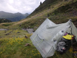
It rained throughout the night with heavy winds on and off. Even this morning when PAM was the leader and got up at 8 it was very windy with a slight mist. I boiled water for our coffee while she “straightened up the tent”–at least I didn’t hear any snoring while she was “working.” We ate our meager breakfast in the tent while the winds intermittently howled. We even packed up completely inside before coming out meaning it only took us about another five minutes to fold up the tent and hit the trail by 9:30.

We didn’t realize we were camping near 6800′–maybe that’s why it was so cold last night

It was only a 2400′ drop down to Gourette so it shouldn’t take us more than 2 hours by our estimate to get there. The book says an hour, so we are just doubling all the times from here on out and we find that to be pretty accurate.

New valley, new views, more picture stops, slower going–the price of progress

It started out the same as yesterday ended–lots of rock scrambling with lots of different path options. I don’t think I mentioned this, but yesterday as we were descending from the pass, we took a 15 minute break to have the last of our planned snacks for the day. It had taken us about 45 minutes to descend where we were. While we were resting, a French runner and his dog passed us up heading to the pass. He passed us again on his way back down before we reached the lake where we camped. Maybe we are over cautious, but we just can’t afford an injury when we are out of country for 8 months.

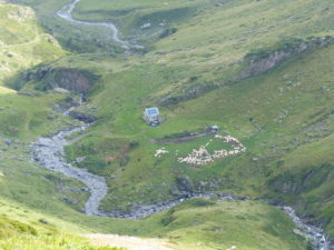
The sheep are so distant, they look like lice when you pick up a rock

Since it was a Saturday and starting to clear up, there were a lot of people out day hiking. We probably passed 50 people heading to the lake. I’m so glad we camped there last night even with the rain.

This being a new valley to us, there are lots of new features for us to see and photograph. There were even a couple of climbers going up a vertical wall (and Pam says I take risks!). We’re putting all of our hopes on Arrens-Marsous which we will get to tomorrow. But tomorrow is Sunday so we probably will have to wait until Monday morning to do our shopping and find money. We just hope that we can get enough supplies in Gourette to get us to Arrens.

Climbers on a vertical wall–not for me, but fun to watch for a while

As soon as we hit town, we headed to the Tourist Information Center which has never let us down. The guidebook didn’t paint an optimistic picture of town for us, but in an ideal situation, we would find an ATM, a market for food, a public water closet, and a restaurant with wifi. We got them all, plus.

Gourette in the distance–the clouds are already starting to come back in

We initially tried to use the wifi at the tourist office, but it limited us to 20 minutes so we found another crepe shop on the way out of town that had good wifi. We were her only customers for a couple of hours so she took real good care of us. As far as food goes, we got enough to last us for 3 days because we can’t really believe the guidebook when it says stores are available. We’ve also given up on getting hiker friendly supplies–I’m actually carrying a glass jar of Nutella. We got everything we wanted except for M&Ms, peanut butter, and ziplock bags.

We sat at the crepe shop for almost 4 hours while we uploaded blog entries, etc. By the time we got done, it was almost 7 and the fog had rolled in again. Pam said she didn’t really want to hike (now that we had had two small beers) so we thought we’d check out the refuge to see if there were any beds left. Club Alpine Francis is a little old and rough on the edges, but they had plenty of space left. We got a 4 bed room to ourselves. A bonus shower with all the other good luck we’ve had today and we’re back on track.

Our afternoon hangout

We realize the rate we are going, one of our shorter trail may be jeopardized, but we are going to do the whole GR10 no matter how much whining, crying, complaining, and screaming are involved. I’ll even tolerate some of Pam doing the same.

Notice the ski lift cables in lower middle and the mountain starting to fall behind the clouds
Same angle less than an hour later–where did the mountain go?

We’re freshly showered, stomachs still pretty full from lunch so we’ll just have some chocolate pudding and caramel corn for supper (the refuge had a scale and I’ve lost more than 25# and Pam has lost more than 15# so we can continue to eat like crap on occasion). We are going to try the Pete approach to hiking and be on the trail before 9 (baby steps at first).

Fog has descended again–we really don’t want to hike out and find a camping spot in this
Club Alpine Francais–CAF; our home for the night out of the rain (which it did pretty much all night)
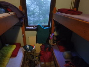
Score!–our own 4 person room

Day 22–Friday, July 21 Lac d’Anglas (3.5 miles)

The 9th time I got up, near midnight, the stars were out. Storms were brewing in the valley below us. Lightening was flashing constantly, but it looked like we were above the storm and going to luck out.

Yes, Virginia, there is a view

By 2, the storm was right on top of us–our luck didn’t hold, but hopefully our food will. It was not windy like two nights ago, just the sound of rain on the tent and the whimpering from Pam with each lightening flash. Once she buried her head in her quilt, I slept much better.

There is no way I would have strayed this far from the tent last night in the fog
Little waterfalls all along the stream

By 7, number 10 couldn’t wait any longer. I stepped out of the tent to a blue sky above, sun on my face, rain on my head, and storm clouds 360 degrees around–we were in the eye of the storm. I told Pam to evacuate if she’s able because we’re going to be in the tent for a while.

The “Ying and Yang” of backpacking–Happiness is an empty bladder and happiness is a full bladder; it’s nirvana if the full bladder is not filled with the contents of the empty bladder
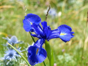
Mountain IRISES, I’m told (in front of a mountain–really living up to their name)

About 9, the rain let up enough for number 11 and allowed me to make coffee so I could serve my lovely wife breakfast in bed. After our muesli bars and Snickers, I let her beat me at a game of gin to try and brighten her day. By then, the weather had cleared up enough for us to pack up and hit the trail–it was 1p.

Curtis walking through a field of mountain IRISES
We must be cloud gods–they are always trying to follow us no matter how high we go
A nice gentle climb along the stream we camped by last night

The 1800′ climb saved for today was, to put mildly, a complete bitch. We started seeing a few people out, but fewer than 10 all day. We talked to a couple of girls from the Netherlands that were out for just two days. If they had been going longer, we might have spent more time with them because they weren’t too far off our pace.

The “Netherlands girls” drying their gear out next to a snow melt lake. We didn’t ask their names since they are only on the trail for two days. We were hoping for an Axel and Heike replacement but there is no replacing them on this trail
My first attempt at yodeling
Try as they might, they can’t get to us

Our meager breakfast didn’t last long. We stopped at the snow pack at the bottom of the last steep climb for our second spit moistened sandwich from yesterday. I had to ration the M&Ms because someone has no self control.

Pam walking across her first snow field on this trip
We’ve climbed several hundred feet from where we camped even though it may not look like much work

1800′ straight up, 1350′ straight down, 3.5 miles–it earned a 12 mile on the hiking index. This was a tougher hike than when we went down the Grand Canyon. The climb up wasn’t bad except for the angle of incline; greater than a 45 degree angle for almost a mile total. The down hill was rock scramble almost 90% of the way.

The final push to the pass
It’s a steep angle of incline

We were going to hike into Gourette today in the hopes of getting food and money,
But with the late start and the slow going, we decided to stop at Lac d’Anglas instead. We reasoned that this is the type of setting we are hiking the GR10 for so we shouldn’t pass it up.

We broke the 8000′ mark here (and I clipped the altitude off the sign–2465m)
A new valley to look at
With a beautiful mountain lake
We camped to the lower left of the lake right on the shore
With new formations looming overhead
Pam really liked this lake (and I did, too)

The tent went up in a flash and I was cooking supper while Pam was setting up the bed. We were going to go for a swim in the lake while our supper cooled to eating temperature. Just as I was steeping the tea, it started to rain–I’m talking monsoon rain with heavy winds. It’s a good thing we didn’t hike the final couple miles to the ski resort.

How could you pass up a spot like this?

We ate supper in the tent and reprised our gin game. I’m feeling good enough after supper that I might even let Pam win again.

I wouldn’t let her win, so we didn’t finish the game

Food is now mission critical for us. We have enough snacks for breakfast and to get us into town. All I’ll have left after that is coffee, tea, and drink mixes–we want to lose weight but I don’t think a liquid diet is the way to go when hiking.

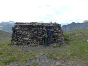
A shepherd’s cabin just below the pass
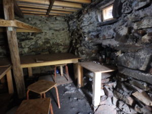
It was unlocked, so we took a look inside–Pam decided to go on

I hear thunder above and Pam is already whining.

Day 21–Thursday, July 20. Stream crossing at 5500′ on way to Gourette (7 miles)

We slept in (actually we got up earlier than usual for us) until 7:45 so we could have breakfast with Axel and Heike. Their first bus isn’t until 10:45 this morning so the only time pressure was to get out of the hotel by 10.

The restaurant and gite where we stayed last night

When I went to pay the bill, I asked about the sandwiches for lunch. The guy working the register ( actually the owner) said no sandwiches. I tried to say when we checked in, she said she would take care of us. His response was “go talk to Madame.” When I tracked her down, she said no sandwiches. I reminded her we asked when we checked in and she said she’d take care of us. She said she didn’t understand what we were asking, but no food for lunch and no chance for food anywhere else in town. I got a little snippy and said we wouldn’t have stayed if we knew we couldn’t get food for today ( a lie, we were staying once we saw Axel and Heike). She said wait 10 minutes.

It was sad saying goodbye (yet again) to Axel and Heike–you can see the fog already rolling in

When she came back she tossed two plastic bags at us. She was clearly miffed. The short story for the rest of this is that those were the best sandwiches we have had on the trip so far–the spit on them really moistened the bread.

Turning off the short road hike back into the woods
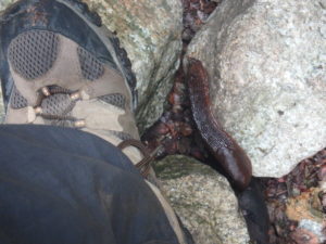
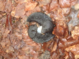
This slug was almost as big as my boot–they kind of creep me out how big they are and what slimy trails they leave

At 10, we walked with Axel and Heike to the bus stop (on our way back to the trail). We said goodbye to them for the third time this trip, but we’re pretty sure this one was for real. About 20 minutes later when we were walking on the road, we saw the bus they were waiting for heading to town. We are going to miss them immensely.

Another mountain stream below a hydroelectric dam
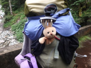
Bunny noticed a hair clippy in the mud and wanted it for himself
Although he looks fashionable in it, I think Pam might steal it once it’s thoroughly washed–see how backpacking can change a person

Leaving town, we could see patches of blue sky and even a little sun. We were hoping for a few clouds to keep the temperature down since we had about 4500′ of climbing. The clouds more than compensated. Once we had climbed about another 300′, we were back in a fog and would be all day (and night from the look of things).

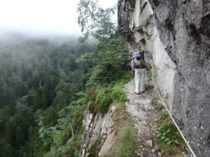
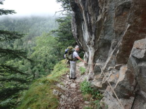
Another narrow trail atop a cliff–the trail crew put in a cable to give you a sense of safety
In some places, the trail was wide enough that Pam would stop long enough for me to take a picture
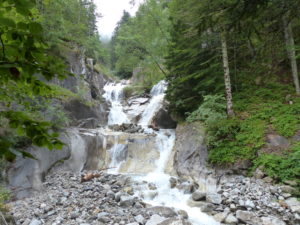
Another fast flowing stream at the end of the cable walk

Axel and Heike will pick back up here the next time they have 2 weeks free. Axel will be sorry to know that there’s another section of trail just like Chemin de la Mature. It’s just not as long and there’s a cable to hold on to the entire way when you’re walking on the edge of a 700′ vertical fall.

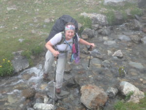
That’s us!
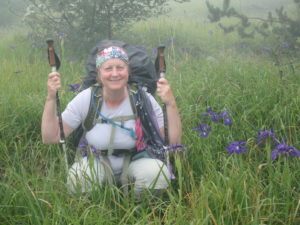
No, she’s not doing that! She’s squatting down so I can get more Irises around her

With it being a foggy day, we really didn’t have any great views. We did have a lot of climbing and some nice water falls. Since our visibility was so poor, we really saw very few people out hiking. We passed one man we camped next to a couple nights ago, but he ended up stopping about a mile before we did and 600′ lower.

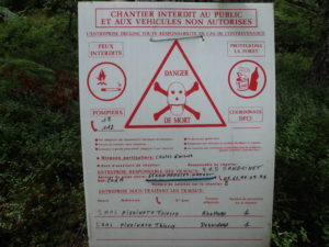
We can’t read much other than “Danger, Death”–should we be concerned?
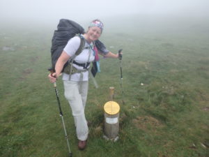
It looks like the fog is here to stay today
We made it to Cabanes de Cezy and considered staying to let the fog pass, but it was too early, even for us, to stop

We knocked out most of the climb (all but the last 1800′) in the hopes that the clouds will lift for us in the morning. It would be a shame to not be able to see anything the first time we climbed to over 7500′.

I’m not sure about slug goings on–but the Barry White music playing in the background leads me to believe there are going to be more little slugs on the scene
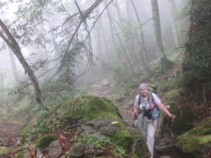
It may look like we’re in the woods, but there is a huge drop to the right of Pam

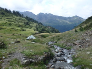
When we crossed a nice flowing stream, we decided to set up camp on the first level spot we could find. As luck would have it, we are only about 30′ from the water. I’ve already had to pee 4 times from the sound and it’s not even 8 o’clock yet. We set up the tent above a wall, but the mist is blowing up the mountain and under our vestibule. It could be a long, cold night. The last words Axel said to us were “Thunderstorms after midnight, but that was German weather service.” Let’s hope they’re no better at predicting the weather than we are in the US.

Pam trying to hold her stance for the photo op almost falls in
Very low visibility, who knows what we’ll find in the morning

Number 5 and then I’m going to sleep.

Day 20–Wednesday, July 19. Gabas (9 miles)

Even drugs weren’t enough. It stormed several times–each short, but the lightening flashes were continuos until about 2 in the morning. I don’t know if Pam taught Nutiket (my dog that we killed last July) or Nutiket taught Pam–Pam hiding her eyes seemed to reduce the shock. Since Pam doesn’t sleep, by god, no one sleeps.

Pam trying to crawl under me to get away from the lightening

The storms and lightning were not the worst. The worst was the wind. All night long it felt like the tent was going to be blown away. Luckily, someone with a lot of insight who should be nominated for husband of the year, placed hundreds of pounds of rocks on all the tent stakes to keep them from pulling out. Had I been allowed, I would have slept soundly.

Marriage requirement fulfilled (I’m still banking my bunny days)

When I woke up at 7, we were still having rain and winds. I can read my wife’s mind and knew we were going to sleep in some more. At 9, the clouds were breaking up and we could see some blue skies, so I made her breakfast in bed (muesli bars and orange cakes with water to wash it down). This is where my trouble started–no coffee!

Now this is just pure brownie points–a field of mountain poppies (don’t get excited, I’ve just found out they are irises and not poppies)
Climbing up from our campsite to the top of the valley

We were hiking before 10. The weather was schizophrenic at best. It kept alternating between heavy winds, light rain, blazing sun, and brief periods of pleasantness. It would rain, we’d drop the packs and put on rain gear to instantly have the blazing sun appear. I finally said to hell with it and just hiked with my normal dirty clothes daring the rain to wash me off.

We had further to go than we thought

There were lots of people out today, including large numbers of families who had rented donkey’s for four day outings. This is a great way to introduce kids to camping and cover large distances. We talked to a few families and they all were having great times.

Another family out on a four day donkey excursion
Still not the top, but a great view of how far we have come in the Pyrenees

After a couple of hours of whining, complaining, and arguing, we managed to cover the last 2 miles and 1500′ altitude gain to get to Col d’Ayous. The views were simply amazing in all directions. We are in the middle of the Pyrenees (and we walked here).

Our first 7000′ pass
Pic du Midi d’Ossau is now in view
What we are leaving behind

We dropped down a few hundred feet and went to the refuge d’Ayous to grab a warm meal. We were having the same “discussion” (aka argument) about not eating enough vs not getting enough rest. Granted, we didn’t get much sleep last night from the storms, but we also haven’t eaten more than 400 calories in the last 16 hours. Since the restaurant was willing to serve hot food, we indulged–this is the first hot food we have been able to find in mid-day.

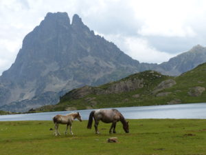
Horses on side of Lacs d’Ayous
Refuge d’Ayous–where we had lunch of some sort; from now on we translate all items before ordering

We ordered 2 bowls of soup, 2 Cokes, an omelette, and a crepe plate–all for the bargain price of 34.5 Euros. This is where we really wish we could speak French. The crepe came served with a raw egg in the middle. Raw chicken abortion alert! Added to the dead horse out front of the restaurant and lack of sleep, this set us off in a bad direction for the day.

More Marlboro wannabes

I haven’t had a rant for a while since I’ve quit harping on the time=distance BS. It wouldn’t take much to get me started on that one again, but instead I’m going on a food rant. All these villages along the GR10 rely on the hikers for monetary survival–you’d think that maybe they might choose to cater to hikers to keep the money flowing. A big, “Hell NO.” Even finding a shop selling food in these villages is a large problem. Not to mention the fact that most places don’t take credit cards, so why not get an ATM put in town?

We hiked with Oliver for a short distance down the pass–he covers ground a lot faster than us so unless he has a terrible accident, we won’t see him again

We are almost out of cash and very few places take credit cards, so we’re getting in a hurting position again. I’m worried about our diet with the lack of protein. I was just in a general bad mood. For the first time ever, I considered quitting this trail. Pam is walking slow (mainly because of her diet, but she’ll never admit that, so this comment stays in no matter how much she objects in editing), and her hips are hurting. We were just in a bad place.

The lakes feed waterfalls which fill lower lakes

When we got into Gabas, we took the turn for the refuge, but somehow missed it. We ended up road walking into town looking for a restaurant that might make us some sandwiches for tomorrow. The first 3 places we came to were closed. I was getting more pissed. We finally found an open restaurant/hotel, but they wouldn’t take credit cards. I was giving up hope.

Midi d’Ossau dominates the area–a 9450′ peak

We had one last place. The price for a room was 44 Euros and they took credit cards. I was giving into the idea of staying in town with the threatening skies looming. When we walked in, we couldn’t believe our eyes, Axel and Heike were there. We knew they were done with the trail on Thursday and figured they were a day or two ahead of us. Just seeing them completely changed our mood instantly. We were definitely staying here tonight.

A lake created lower for hydro-electric

The hostess showed us to our room. We quickly got showered and cleaned up to meet Heike and Axel for supper. We had a pleasant 2+ hour meal with our friends on their last night on the trail. We really got to know more about each other. Axel acted as interpreter switching effortlessly between French, German, and English. It’s amazing to think of the amount of ability it takes to switch between languages. Heike was talking more English tonight, finally feeling comfortable enough with us to risk saying the wrong words. I’m still amazed at Europeans’ ability to switch between languages and am ashamed at my lack of language skills.

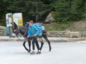
Donkeys carry a lot of gear up the mountain

We stayed up late in the restaurant–until after 9. When we went out, it was pouring. There was even pea sized hail with the rain. I was ecstatic. If I’m going to pay for a room, I like to feel like I’m getting my money’s worth and crappy weather is the ticket. Our room was across the street from the restaurant so we borrowed umbrellas from the hostess. We still got soaked. I was completely happy.

So glad it’s raining and hailing when we pay for a hotel

A little laundry and then off to sleep in a much better mood. Thank you Heike and Axel for saving us in our darkest moment on the GR10.