Day 10 Sunday – Paradise River to Pyramid Creek (7.8 miles)

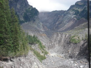
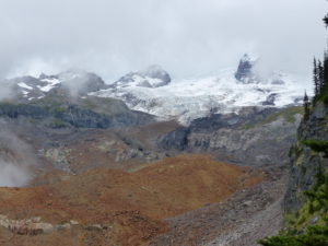
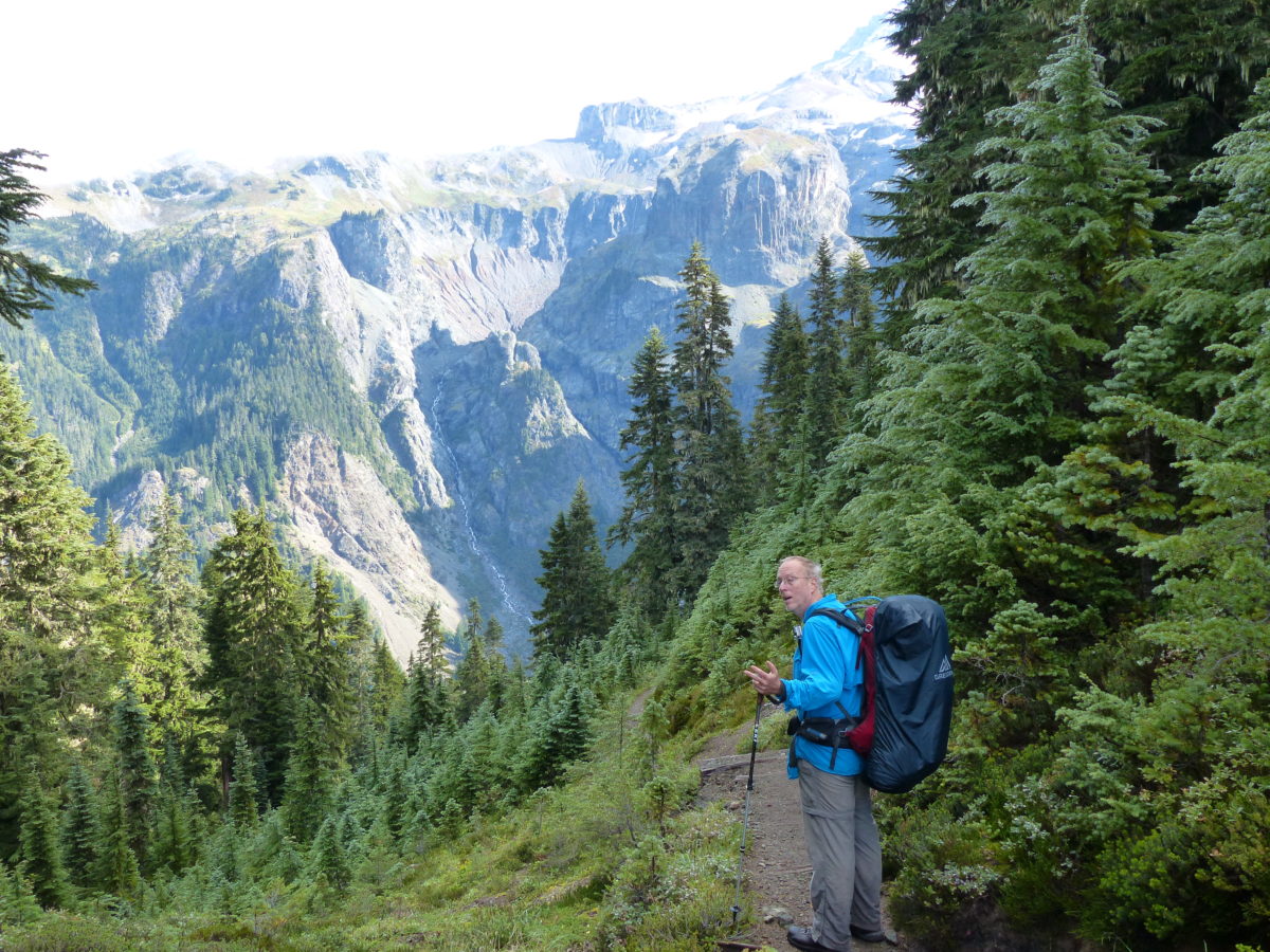
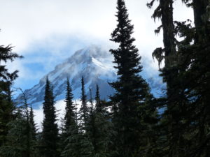
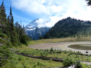
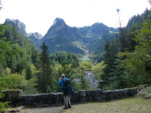
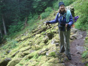
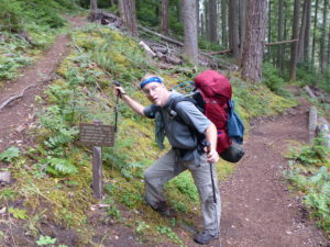
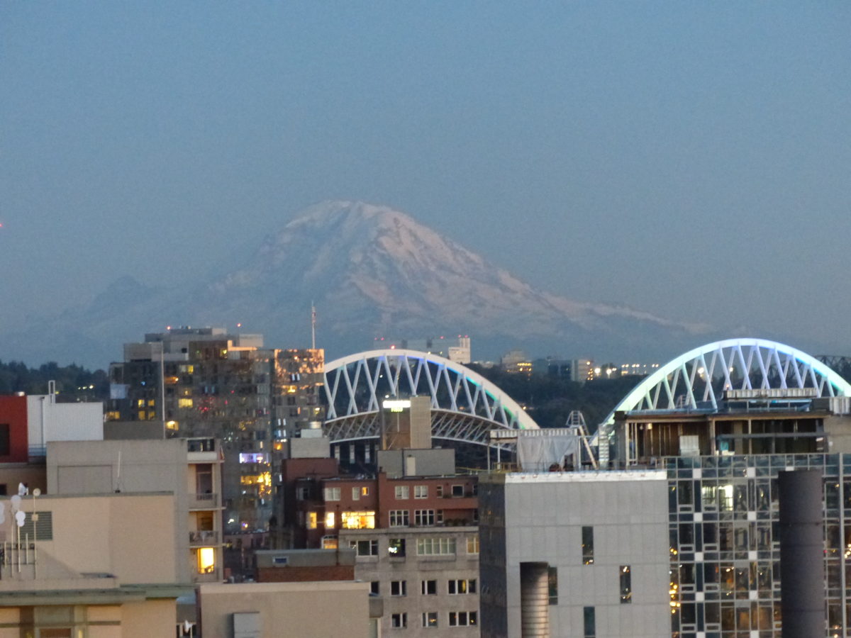
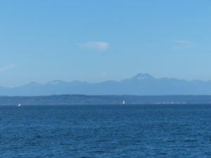
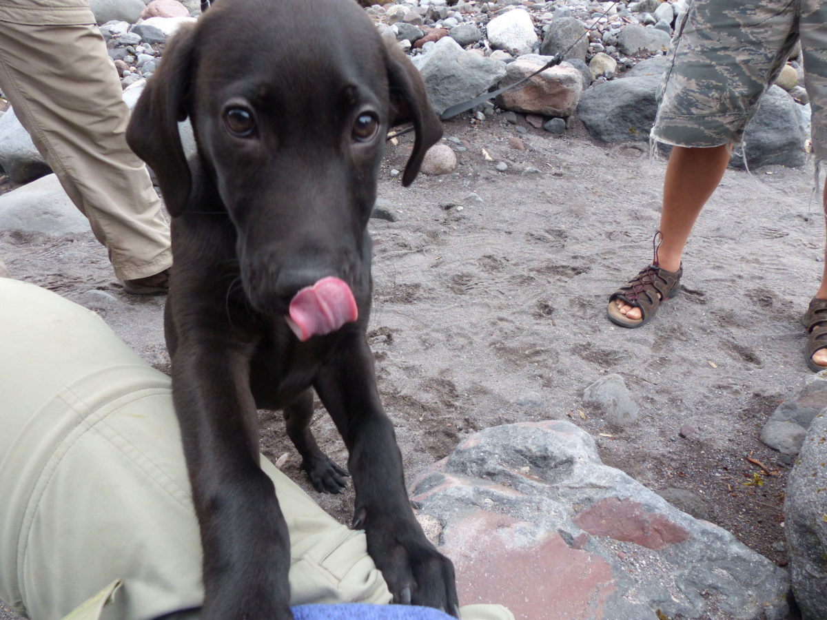
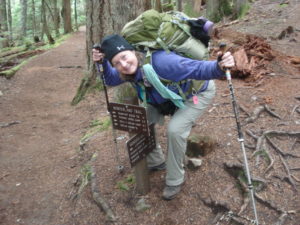
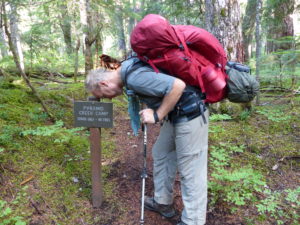
                We awoke at 7:30 to the sounds of everyone packing up for the day.  Brownie and Greg had a 17 mile day ahead of them so they needed to get going.  As usual, we were the last ones out of camp around 9:30.  It was a nice easy hike all the way down to Longmire—3.8 miles with a 1000’ elevation drop.  When we got to the Nisqually River, we really got into day hiker country.  The overlook on the river is right on the road so a lot of people actually manage to get out of their cars and explore a bit on foot.  We did meet a guy with a puppy crossbred between a black lab and a weimaraner which we immediately fell in love with—we have a winner for Keebler! 

Who remembers the “Big Fig Newton?”
Which one of us does the tricky part better?

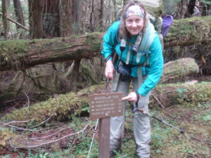
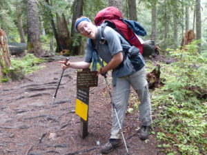
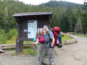
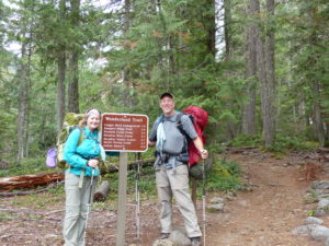
                The walk to Longmire flew by.  We went straight to the Wilderness Center to pick up our food cache where we ran into John and Jenny for one last time.  They had gotten up early to have breakfast in the restaurant because they were scheduled for Devils Dream tonight.  From here on out they will be doing a couple miles a day more than us so they can get out Wednesday while we aren’t finishing until Thursday.  We said our last good byes.

Crossing bridge right before we meet our next dog, Keebler
The trail is more like a road all the way to Longmire

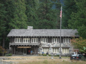
                Next we went to the restaurant in Longmire Lodge for lunch and reorganization.  We tried to dry out some of our wet items on the baseboard heaters while we were in the restaurant.  They were very accommodating to us and gave us an isolated table where we had access to electrical outlets and not close enough to other diners to be offensive to their olfactory senses.  While we ate our $60 lunch of black and blue burgers, fries, cobbler, and tea, we also charged all of our camera batteries and wrote some postcards.  We also refilled our water bottles (always take advantage of not having to filter) and bought a few necessities (advil).

I can’t get away from cougar reminders

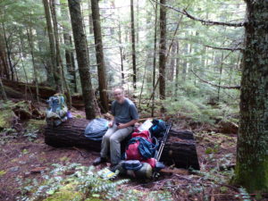
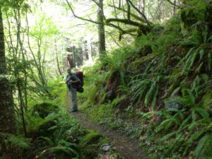
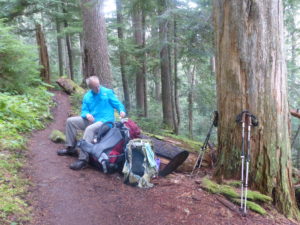
                We had killed a few hours and had to get on to camp.  As soon as we hit the trail, we came upon a couple sitting in the trail crying.  We asked if they were ok and she said she was just excited and thrilled to finish the trail.  They had done the trail without a tent or stove, sleeping wrapped up in plastic at night to get out of the rain.  This was a bit rougher than I’m willing to go.

First stop is to pick up our food cache

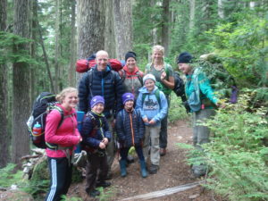
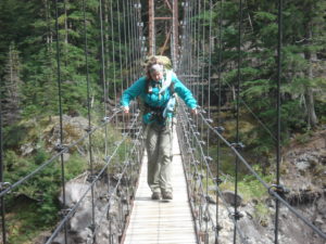
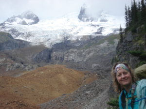
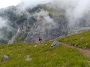
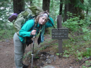
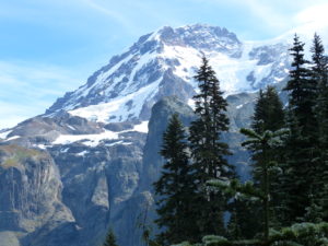
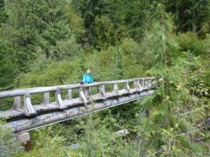
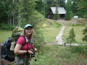
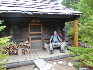
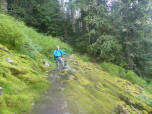
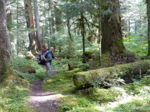
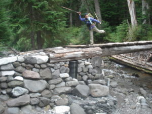
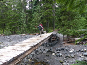
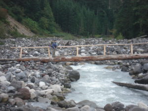
                It wasn’t a long hike at 3.5 miles, but the elevation gain of 1100’ hit us hard with full packs and over full stomachs.  Pam’s heels started rubbing so we stopped on a bridge and I cut some moleskin patches for her.  While we were doing that, a family of 7 hiked by.  The kids ranged in age from 15 to 6.  I couldn’t imagine any family I’ve ever been associated with pulling off a feat such as this—5 kids and happy to be out hiking; Pam’s kids complain if you park too far out in the parking lot at a restaurant.  They were just going to Devils Dream for the night, so we sent our greetings to John and Jenny with them.

Just a river overlook

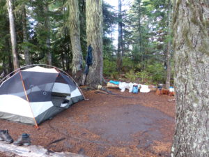
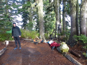
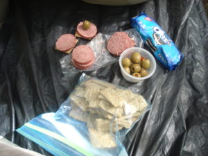
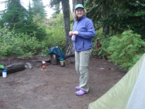
                We got into camp by 4 and laid out everything to dry while we got water and made supper.  This will be a dinner we always remember, and not in a good way.  We decided to experiment with a few different combinations on this trip to give us some ideas for thru-hiking options.  Tonight it was stroganoff noodles with a package of salmon mixed in.  We had to eat it because we had the right amount of food and couldn’t afford to throw it out.  We took turns eating a bite at a time.  The secret was small enough spoonful’s so that you didn’t have to chew or taste it.  This will go down in history as “salmon shots.”  Even alternating shots, we couldn’t force ourselves to eat it all so I walked out of camp a ways and left an offering to the little animals of the forest.  I’m sure the dead animals we saw the next day had no connection to this food.

It took everything out of me after lunch

                We went to bed early because we knew we had a tough day tomorrow.  It will not be our longest day, but it has a lot of elevation gain and loss so we needed rest.  The salmon shots weren’t sitting well in our stomachs.

Day 11 Monday – Pyramid Creek to South Puyallup (8.5 miles)

                We got up and got going early and quickly today.  The climb up to Devils Dream was kind of a hard way to start the day.  The trail crossed a severely damaged river bed at Kautz Creek.  There were plenty of cairns to mark the way through the wash.  This is further evidence of the devastation from the 2006 floods.  We passed the family of 7 again this morning on their way back down.  They passed on greetings to us from John and Jenny.

A true outdoors family

                We stopped in Devils Dream for a bit of a snack before continuing the climb up to Indian Henry’s Hunting Ground.  Once we got to the patrol cabin, we stopped for another rest and snack.  We checked the log book at the patrol cabin and saw that Ginger and Chris had been here several days ago—no doubt, they were back home by now.  The sun was shining, but Mt Rainier was still hiding in the clouds.

High meadows with ponds on west side of Mt Rainier

Indian Henry’s patrol cabin

                From the patrol cabin to Tahoma Creek Suspension Bridge wasn’t a bad hike.  It was level through the meadow by Indian Henrys and then a steep downhill to the bridge.  The bridge itself is 150’ long and over 200’ high—it is impressive (and a little scary).  The 2006 flood took out all of the wooden planks on the bridge!  This fact alone should give you pause when you start out across.  We are way up there.  I went first.  I made sure that everything was tucked away including my hiking poles—I wanted my hands free to hold on.  When I had crossed the Carbon River Suspension Bridge, the pull cords on the tent had been hanging out and kept getting caught on the bridge—I was having none of that on this crossing. 

Much more intimidating bridge than the Carbon River

                The bridge is located in a curve of the creek valley so you can’t start to get a glimpse of the glacier until you’re more than half way across.  Also, near the middle, 3 consecutive planks were missing—about a 3 foot section.  I had to stop and collect my nerve to step over this gap.  When Pam came over after me, I saw something brown drop out of her pant leg before she stepped across; I pass no judgements.

Looking upriver from the middle of the bridge

                After the bridge, it was all uphill around Emerald Ridge.  The maps only indicate a 1600’ climb but it never ends.  We passed a group of 5 runners coming down and they tried to give us encouragement (they could obviously see and hear the death rattle around us).  By the time we got up to the point of the Tahoma Glacier, the sun had disappeared and clouds were rolling in.  The glacier rests over a couple of ridges and feeds both the Tahoma Creek and the South Puyallup River.  As we expected, we were toast by the time we got here.

Designated lookout

                It was supposedly only 1.5 – 2 miles into South Puyallup Camp with only about 2000’ of elevation drop so it appears to be an easy hike down.  However, this is a very steep drop with lots of big steps which proved to be very hard on the knees.  We pass several overlooks of the South Puyallup River Valley and got some great vistas of the Tahoma Glacier in the evening light.

It cleared off enough we could see the glacier

                We didn’t make it into camp until almost 6:30.  South Puyallup Camp tends to fill from the bottom up (I guess people don’t feel like climbing a lot to get to a camp after all the elevation change they have to go through to get here).  There were only 2 campsites left when we got in and we didn’t take the highest one (I guess this is an indication that shit CAN roll uphill as well).  We set up camp in the mist. 

The clouds rolled right back in

                We still had to find some dry sticks for the stove and filter water.  By the time we got everything done, it was dark.  Our neighbors came up to see our stove while we were cooking supper—it’s a good conversation starter, but I’m beginning to question the weight on longer trips.  This is definitely a survival stove.

Just a short walk down to South Puyallup

                Just as we crawled into the tent, it started to rain.  Not too much later, we heard another group come in looking for a campsite.  I thought we were late.

I think she’s done for the day–this was the biggest effort day for us

Day 12 Tuesday – South Puyallup to Klapatche Park (4.7 miles)

                It rained all night so we had a hard time getting ourselves up this morning.  I finally rolled out of bed due to the double call of nature.  The outhouse in South Puyallup is in an interesting location next to a wall of Andesite columns.  These are honeycomb columns of rock.  Since there was a line forming, I was able to get pictures and talk to a few people.  I kept myself to the back of the line so I could take my leisurely constitutional (even in the rain, I don’t like to be rushed).

Andesite columns by latrine

                The group that came in after we went to bed had come all the way from Mowich Lake—22 miles.  They got their permit and didn’t check it when they got it.  The date was wrong for what they thought they had so they just hiked on through to get into camp on the right night.  They were supposed to be in Maple Creek tonight which meant another 21.2 mile today.  They had lost an entire day in their itinerary.  I suggested they stop in Longmire and correct their permit.

Fungus everywhere

                The alcohol stove is my preference on mornings like this.  I found a protected area under some fallen trees to set up the stove and boil water while we packed everything up in the tent.  We just got everything dried out and I didn’t want it to get soaked again.  I accept that I’ll be carrying a wet tent and the extra couple of pounds of water that means.

                We follow the Hiking Vikings and decided to try one of their ideas today.  We bought cheap throw away ponchos to put over us and our packs to keep the water from running down our backs and keep the straps from getting soaked.  Even this trapped too much additional heat for me.  Another mistake we made on this trip was not bringing water repellant gloves.  With the constant rain, we were just getting soaked.  If we stopped for any length of time, we would get cold and start shivering.  The word for today was “miserable.”

We’ll try the “Hiking Vikings” suggestion of cheap ponchos

                Thankfully, it was a short day.  Less than 5 miles with less than 2000’ of gain.  We passed a guy that was doing the loop in 6 days.  He asked us how far we were going today.  He told us we were smart.  With a 6 day itinerary, he feels like he’s always having to check his watch to make sure he makes his mileage.  He’d like to be able to sleep in on a crappy day like today.

I’m not a fan of ponchos at all–overheating and freezing simultaneously

                By the time we got to St Andrew’s Lake, we were miserable, cold, and shivering.  We found a clump of trees and decided to have a hot lunch to try to bring our core temperatures back up.  Both of our hands were not working properly and we had a hard time even striking the lighter.  We still used the BioLite so we could warm up our hands and not worry about using fuel.  We had hot soup and hot chocolate but by the time we packed back up after eating, we had already lost feeling in our hands again.  We were on the verge of hypothermia.

Pam stuck it out longer than I did

                Fortunately, it’s well under a mile to Klapatche Park from St Andrews Lake.  Even with our late start this morning and stopping to cook lunch in the rain, it was around 3 by the time we got into camp.  We were the first ones there so we got to choose out spot.  It was a hard decision since they all had lakes in them and none had any views because of the fog.  We chose a site on the north side of camp which, in theory, has a view across the North Puyallup River Valley.  

Cold, rainy, and miserable

                Our tent was soaked, our packs were soaked, and our clothes were soaked.  We were cold and miserable.  Our hands weren’t working.  We set up the tent.  Pam inflated the mattress and set up the sleeping quilts.  While she was putting on her dry sleeping clothes, I hung our bear bag and stowed everything outside before I crawled in and changed into my dry sleep clothes.  We were in bed by 4.

Not too soon to camp
In bed by 4; just trying to get warm and dry

Day 13 Wednesday – Klapatche Park to Golden Lakes (7.8 miles)

                The only problem about going to bed so early is the sheer number of times I had to get up to pee—4 times, but who’s counting?  Pam!  That’s who.  Every time I got up she would ask the question I never get tired of hearing—“Where are you going?  There must be something wrong with you if you have to pee again.”  I’m a 50+ man.  This is life without having to take some pharmaceutical which I refuse to do.  After my third time, I was lying there trying to convince myself I didn’t have to go again when she started stirring.  I finally get my turn: “Where are you going?  OK, I’ll go with you to make sure your safe.” Chivalry isn’t dead.

Since the sun came out, we took the time to dry out our gear
There weren’t quite enough logs to lay everything out
I had a cup of hot tea to pass the drying time

                Other people did filter in through the evening, but we didn’t get up to meet any of them.  In fact, they were already gone by the time we emerged from our tent at 8—yes, almost 16 hours in bed.  The rain ended during the night and we actually had some sunshine when we rolled out.  This was a welcome sight.  We dried out our tent and wet clothes while we ate breakfast.  For the first time in about 8 days we could see Mt. Rainier again.  This lifted our spirits—a great view and sunshine.

The first we’ve seen Mt Rainier in almost a week
Even with all the rain, Klapatche Lake still wasn’t full

                We were on the trail by 10.  It’s less than 3 miles to North Puyallup camp and it’s all downhill—1800’.  What goes down, must come up.  We had about 5 miles into Golden Lakes to gain 1500’ so it wasn’t a bad climb at all.  North Puyallup used to be a drive in camp but nature won the battle of wills of trying to keep the road open.  There are stone walls along the North Puyallup River which are classic WPA structures.  The bridge across the river is sturdy and gives amazing views.  The river narrows between granite walls where the bridge has been placed.  It’s obviously a fairly new bridge compliments of 2006 floods.  We have gotten plenty of rain on this trip but, thankfully, nothing up mountain has broken loose.  I’d hate to be around to witness when the rivers can throw 10 ton boulders downstream like pebbles.

I’m glad we got another clear day before we finish
We’re making good time
North Puyallup used to be a drive in camp
A pretty impressive solid bridge

                After a light lunch at North Puyallup, we started the gradual climb up to Golden Lakes.  We did pass one couple and talked to them for a few minutes.  After a couple of minutes they said “We know who you are!  John and Jenny told us to watch out for you.”  Even though we weren’t hiking together any more, we still managed to keep somewhat in touch.

My favorite trail lunch
A midafternoon snack–hiker appetites!
A very pleasant gradual climb

                We were at Golden Lakes before we knew it.  The guidebook recommends either site 4 or 5 as the most desirable.  We got into camp fairly late, almost 4p.  We walked up and camp 4 was already full but we decided to give 5 a shot.  We couldn’t believe our luck that it was open.  We just dropped our packs and staked our claim when 2 more groups came up trying to snag it.  One was a volunteer ranger that checked our permit to make sure we were legal (I think he really wanted it).  He ended up in the group camp for the night.

It’s still nice to be done for the day
Chairs are also something we take for granted in civilization

                We did our usual routine, set up tent, filter water, cook, clean, hang bear bags, etc.  By the time we were ready for bed, it was misting again.  We went to bed by 7.  No views to the west because of the clouds.  It rained off and on all night so I tried to time my expeditions out between rain spells.  I got up around 2a in between rains and was blessed with a view of Seattle to the Northwest and a sky full of stars.  I tried to wake Pam up but she wasn’t interested.  This is our last night on the trail and she had set the alarm for 6:15.

Our last camp

Day 14 Thursday – Golden Lakes to Mowich (9.5 miles)

                As I said before, it rained on and off all night.  We woke up before the alarm at 6 because of Elk bugling in the valley below us.  We got up to try to see them, but we were in the clouds once again.  We were out of camp by 8:15 (including outhouse visits on the way out).  The clouds had burned off by now so we were going to end our hike with beautiful weather and views.

Our last of Golden Lakes

                This is our second longest day on the itinerary but 3rd in effort.  Golden Lakes is at the same elevation as Mowich, the only problem is that we have to drop 2300’ to South Mowich River and then climb 2300’ back up to Mowich Lake.  The trail starts out level through a meadow for a couple of easy miles, but then you start switchback hell.  We could see clear cuts in the distance which is an indication of how close we are to the park boundary.  We tried to keep track of the number of switchbacks but lost count well after 30.  It wasn’t a bad hike down, but every time we made a turn and kept dropping, I just kept anticipating the climb back up.  Plus, my pack wasn’t feeling right today.  It felt unbalanced and pulling to my right.  If I adjusted the straps to get it even, I ended up losing circulation in my right arm.  I was getting frustrated.

Lots of switchbacks heading down

                South Mowich River Camp is on a patch of land between the North Mowich River and the South Mowich River.  Once again, the floods of 2006 did a number on these river valleys.  There is a lot of debris to climb over and around.  These rivers vary in flow on a near hourly basis depending on heat and rain above.  I wouldn’t want to camp down here in a rain.  All in all, I’m glad we’re just passing through here and not camping here.  We met one couple coming out of South Mowich camp.  We kept playing leap frog with them for a while but once the climbing got serious, they left us behind.

                Pam must have been ready to get out today because she was a relentless hiker.  She kept pushing us to keep moving.  I think she really wanted a shower.  We made it back to Mowich by 3:30.  I was dragging bad and disappointed that there was no fanfare to celebrate our completion.  We got a couple to take our after picture and then we headed to the car.

Only 4 miles left and she’s fired up

                While we were dropping our packs and changing out of our boots, the couple came up to us and told us they were having a problem.  His mother was supposed to make a food drop but they couldn’t find it.  We agreed to give Erika and Phil a ride to the Carbon River Ranger Station.  On the drive down, we found out they both work for Fish and Wildlife and this was there first time in 12 years of living out here that they actually got time off in the summer to hike the Wonderland.

She may be rearing to go, but I need a snack

                We got them to the ranger station and the NPS had enough left over food and fuel to set them up.  We also gave them some snacks we had left over—some Lara Bars and nuts.  The ranger was going to drive them up the road toward Ipsut Creek so they were going to be fine.

Another fairy tale land
Starting the final climb out

                We headed back to Enumclaw to get a hotel for the night and to get reintroduced to civilization.  The Guesthouse was the perfect setup for us.  They let us have the room right next to the laundry and said we could dry out our gear in the courtyard.  First things first, though.  We showered.  Pam said “14 days without a shower is too long, but after 5 days it doesn’t really make much difference.”  She’s a keeper!

She’s too pumped for me to keep up with
Back to the turn to Spray Park — only 0.2 miles left

                We walked on down to the same pizza place we had eaten at on the way out 2 weeks ago—Jackson’s.  Then we walked on down the street for some coffee and chocolates.  We have our hiker appetites and we need to keep them in check for the next few days.  We headed back to the room to finish off our chores and get to bed by 10:30.  We found a hotel in Seattle for tomorrow night right above Pikes Place so we’re all set.

We made it!

Day 15,16 Friday, Saturday – Enumclaw to Seattle to St Louis

                It really is a luxury to sleep in a bed and not have to put on shoes in the middle of the night to go to the bathroom.  We got up in the morning and showered again (because we could!).  We were not rushed to do anything today.  We had a hotel, Pensione Nichols Bed and Breakfast, for the night at the corner of Virginia and 1st Ave right next to Pikes Place.  We took a leisurely drive up to Seattle.

Pike’s Place, Seattle

                We drove right to the place and I dropped Pam off so she could find out where we had to park.  After a little confusion, we called the place and they told us where to park and then we walked back and got our room.  Since this was Friday afternoon and we usually have a bottle of wine with our neighbors about now, our first stop was a corner café where we could enjoy a bottle of Sauvignon Blanc.

All local flowers

                Next, we walked around a bit and bought some new gloves for the next time we’re hiking in the rain.  We also found a disgusting gum wall in an alley.  It took me a while to find a piece that was still fairly fresh, wasn’t hard as a rock, and still had some flavor left.  We also walked by the original Starbucks but were not about to stand in a line that long for coffee.

The gum wall
The original Starbucks

                We settled on Pike Place Brewery for dinner and a tour.  It was interesting and we ran into some guys from Wales.  We talked to them a little about hiking and they also said screw the Cotswold Way and either try the Isle of Argosy or the Pembrokeshire Coastal Path.  Looks like Wales is going to be moved on to our list for next year.

The Olympic Peninsula from our hotel

                We’re still not used to late nights up (that is anything later than 8p) so we headed back to our hotel.  We went up into the lounge which was on the third floor on the backside of the building.  We had fantastic views of the Olympic Mountains, Mt Rainier, and the water front.  We talked to another couple in the lounge for a while and found out they lived near John and Jenny around the 3 sisters.

Everyone has a Ferris Wheel these days

                Saturday morning, we got up and had breakfast in the lounge before heading to the airport.  We really like Seattle when it’s not raining.  I have several friends that have lived out here and they said there’s a lot of rain most of the year.  I can believe that if they get almost 3x what we get in MO. 

                One of the concessions I had to make with Pam is that I get her back so she can have a full day of recovery before she heads back to work on Monday.  This looks like it will be our last trip until we start our hiking odyssey next year.

Dusk from our hotel

                We have made a few decisions about gear after this trip.  I really like the BioLite Stove, but I don’t think it’s worth the weight vs a USB rechargeable pack and an alcohol stove.  We also want to carry a lightweight tarp for rainy days (even if it’s only a piece of Tyvek).  We are also going to pare down our emergency kit.  I’ve gotten Pam to drop it from a Third World Rescue Kit down to saving a small town after a natural disaster.  I will convince her to drop it down to a few band aids, an ace bandage, some sports tape (or the like), and some Vitamin I.  After all, we’re never more than a day or two from a town.  When we go to SE Asia or South America, we’ll go with her kit.  We also took too many clothes, but we dropped our down jackets at the last minute and regretted that.  We’ve already gotten the better gloves we needed.  The other thing we need to consider is getting a lighter tent.  I like the REI Halfdome T3+ but it comes in close to 4 pounds (and closer to 10 when wet).  I’ve been looking at Zpacks’ tents but can’t decide if I’m willing to drop another $6-700.

Sunset over the Olympics